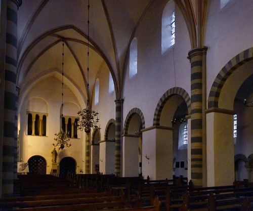
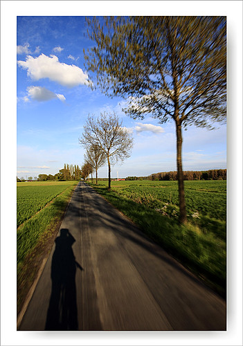
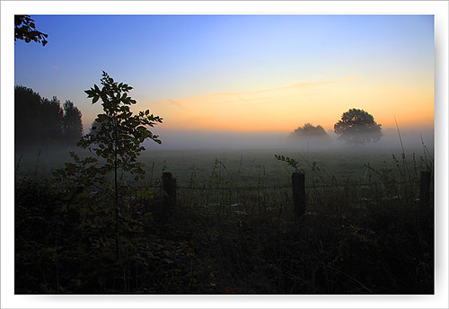
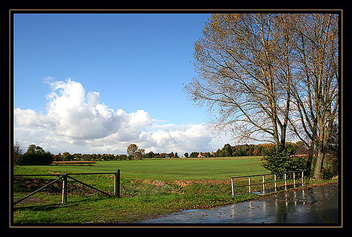
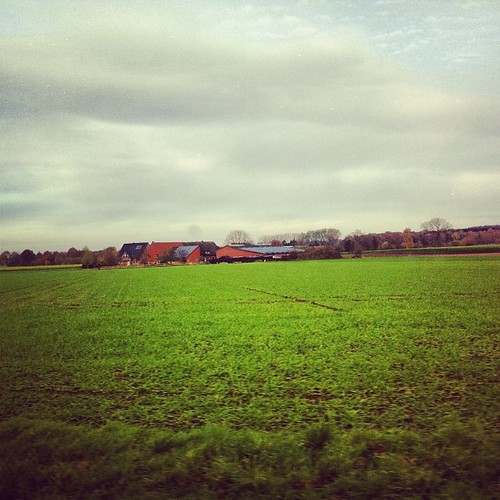
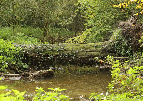
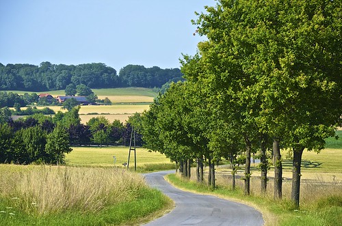
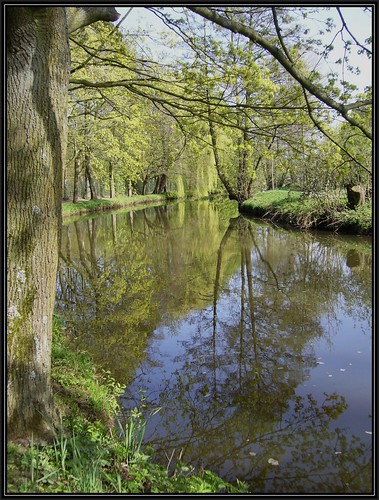
Elevation of Oelde, Germany
Location: Germany > North Rhine-westphalia > Münster >
Longitude: 8.1463962
Latitude: 51.8297412
Elevation: 95m / 312feet
Barometric Pressure: 100KPa
Related Photos:
Topographic Map of Oelde, Germany
Find elevation by address:

Places in Oelde, Germany:
Places near Oelde, Germany:
Hesseler
Bernhard-Rest-Straße 11, Oelde, Germany
Stromberg
Speckenstraße
Hesseler 10, Beckum, Germany
Wadersloh
Rheda-wiedenbrück
Kad Krankenhaus-altenheim-dienste Gmbh
Liesborn Abbey
Wiedenbrück
Kaiserforst 57, Rheda-Wiedenbrück, Germany
Sankt-vinzenz-straße 1
Lintel
Hummelweg 3, Rheda-Wiedenbrück, Germany
Hammoor 46, Rietberg, Germany
Mastholte
Zum Hof 16, Lippstadt, Germany
Lipperode
Wiedenbrücker Str. 90
County Of Rietberg
Recent Searches:
- Elevation of Corso Fratelli Cairoli, 35, Macerata MC, Italy
- Elevation of Tallevast Rd, Sarasota, FL, USA
- Elevation of 4th St E, Sonoma, CA, USA
- Elevation of Black Hollow Rd, Pennsdale, PA, USA
- Elevation of Oakland Ave, Williamsport, PA, USA
- Elevation of Pedrógão Grande, Portugal
- Elevation of Klee Dr, Martinsburg, WV, USA
- Elevation of Via Roma, Pieranica CR, Italy
- Elevation of Tavkvetili Mountain, Georgia
- Elevation of Hartfords Bluff Cir, Mt Pleasant, SC, USA


