Elevation of Ocran Rd, White Stone, VA, USA
Location: United States > Virginia > Lancaster County > > White Stone >
Longitude: -76.349708
Latitude: 37.659804
Elevation: 1m / 3feet
Barometric Pressure: 101KPa
Elevation Map:
Satellite Map:
Related Photos:
View from the Road to Towles Point, Lancaster County, VA

View from Delano's Store

2014JEK0227089.jpg
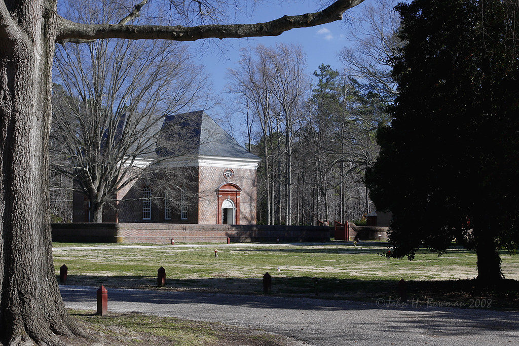
Wooded setting of Christ Church

2014JEK0227123.jpg
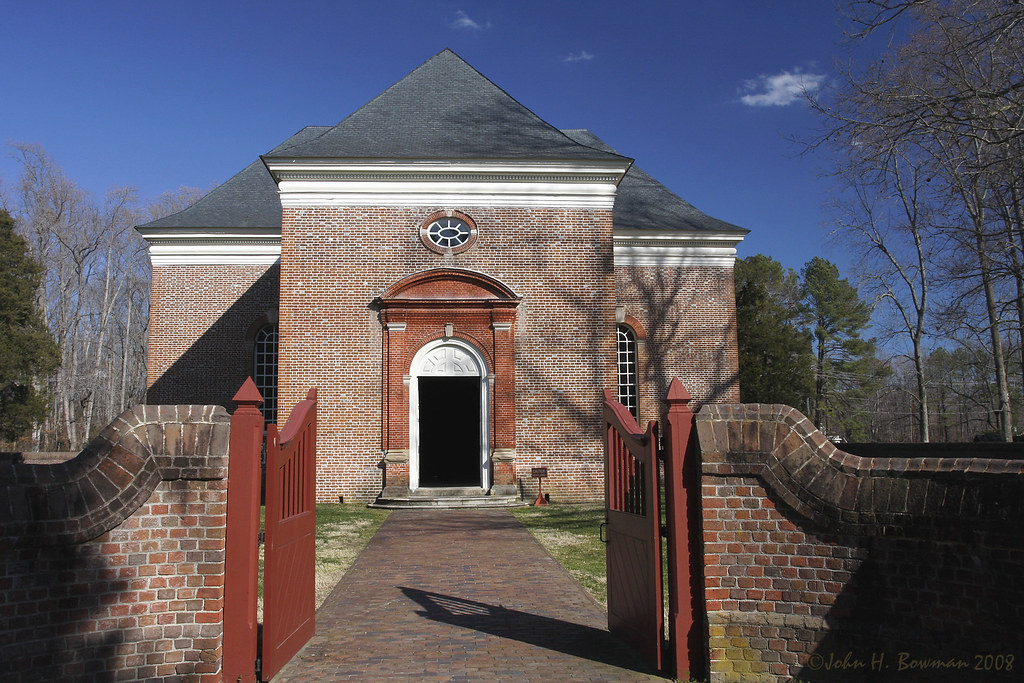
Gated brick wall - Christ Church
Norris Bridge

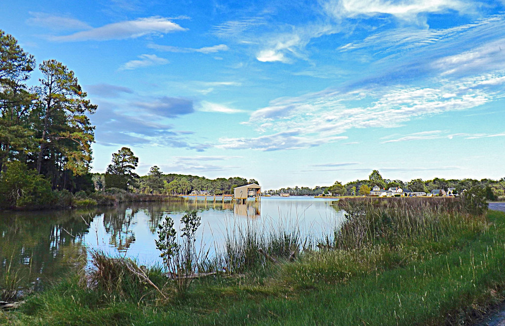
Camp Mill Pond

Brick wall detail - Christ Church
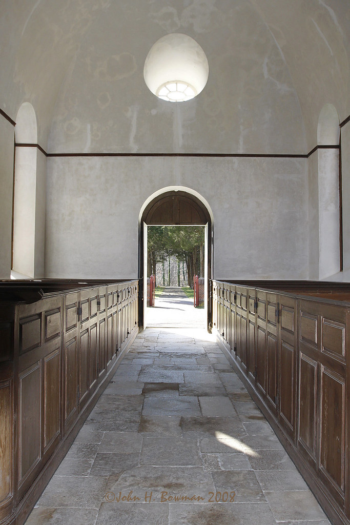
Aisle & doorway - Christ Church
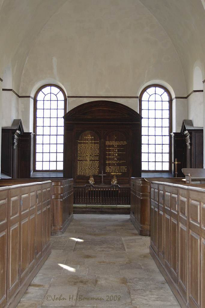
Aisle & altar - Christ Church
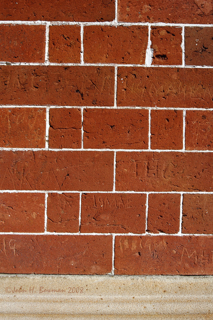
Defaced bricks - Christ Church
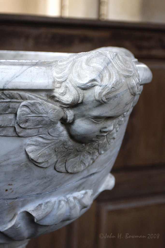
Baptismal font - Christ Church
Pew box detail - Christ Church
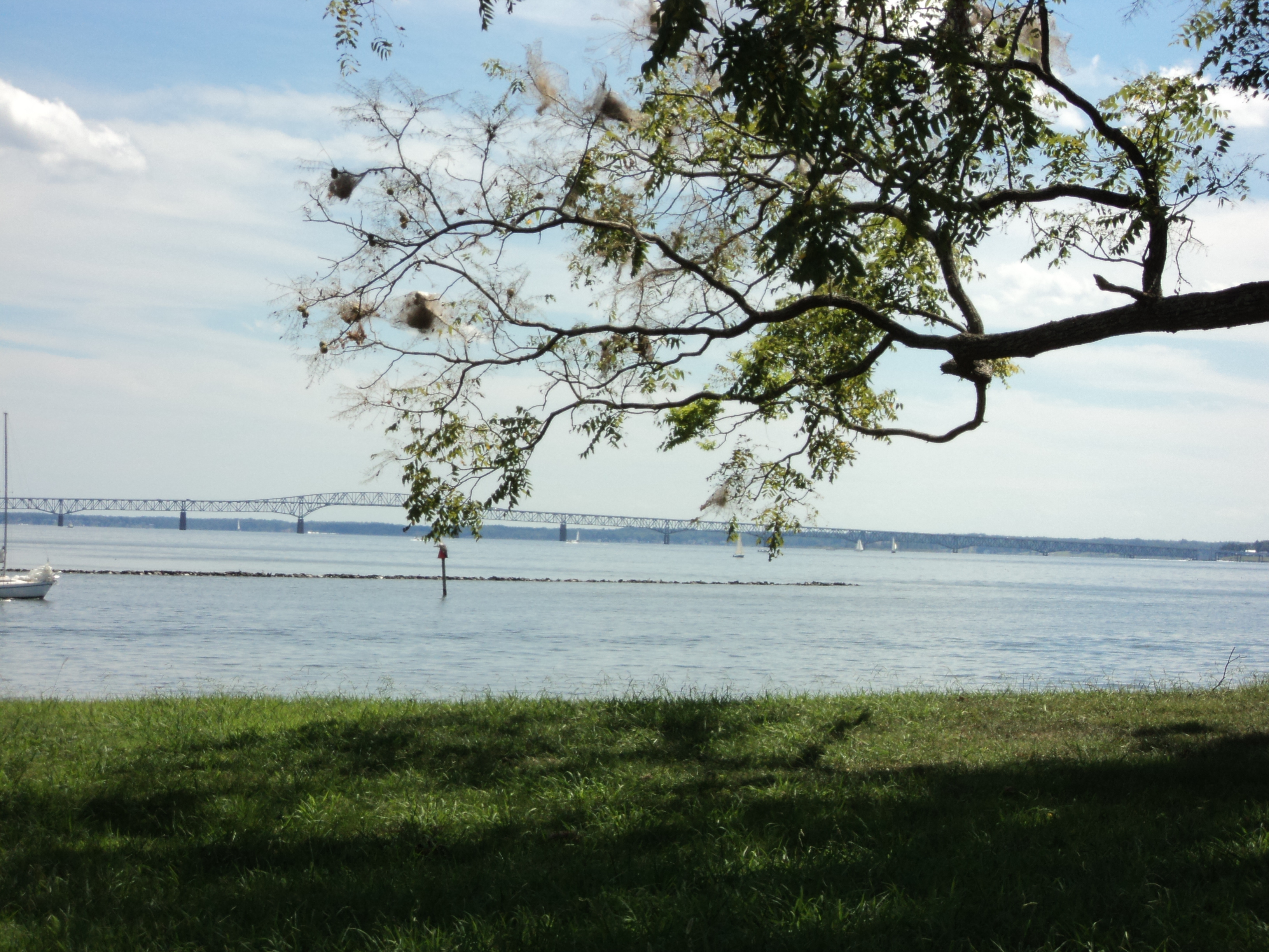
Special view of the Corrotoman River

Tri-level pulpit - Christ Church
Aged stone - Christ Church

bow view
Room View

Symmetrical Bedroom

Capturing Google Street View Panoramas at Christ Church

Finally [Explored!]
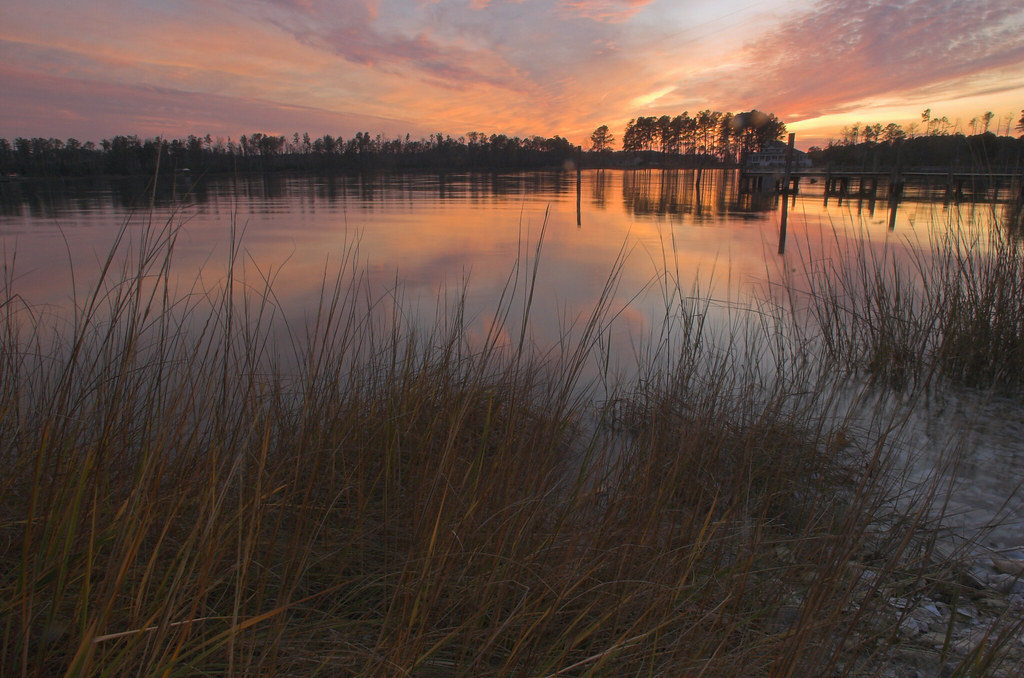
#8532 - white_house_sunset
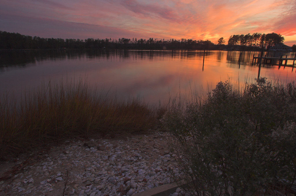
#8544 - white_house_sunset
Stingray point
Lancaster County Virginia...a few shots from today's ride...

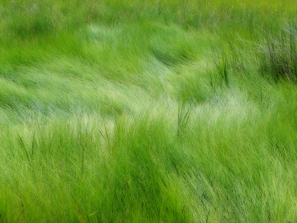
Up a Lazy River
Late Afternoon @ Hughlett Point Natural Area Preserve, Northumberland County, VA
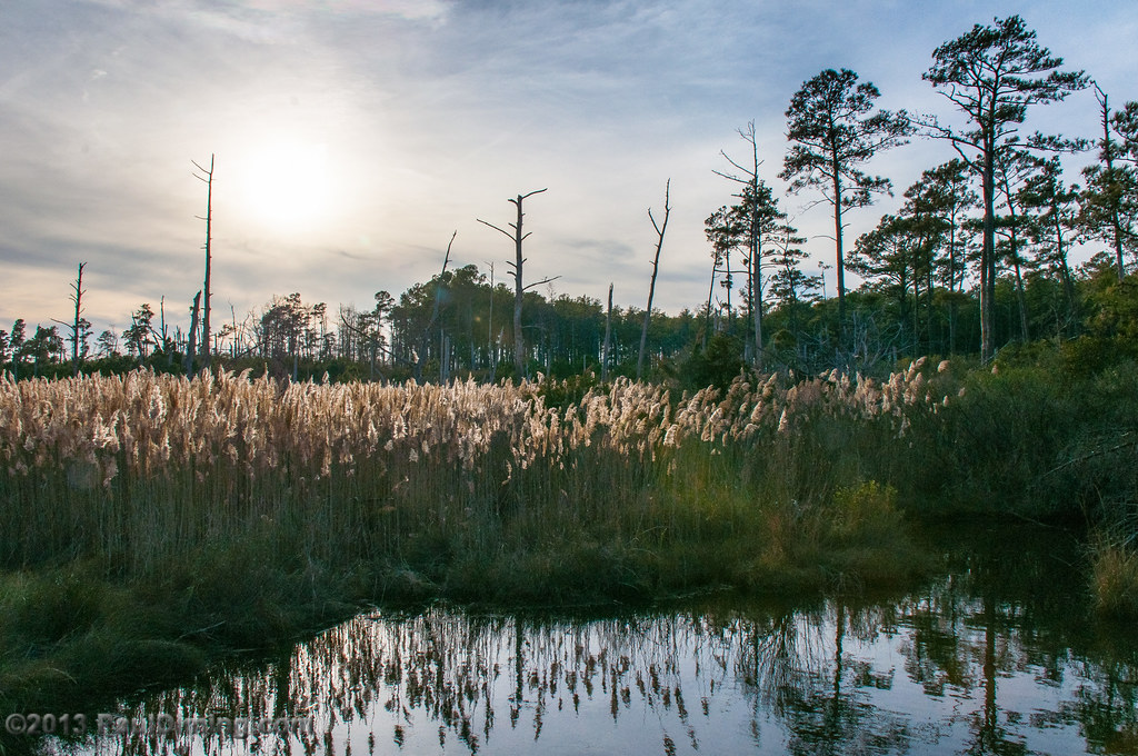
#03809 - Wind in Hewletts Marsh (Orton)
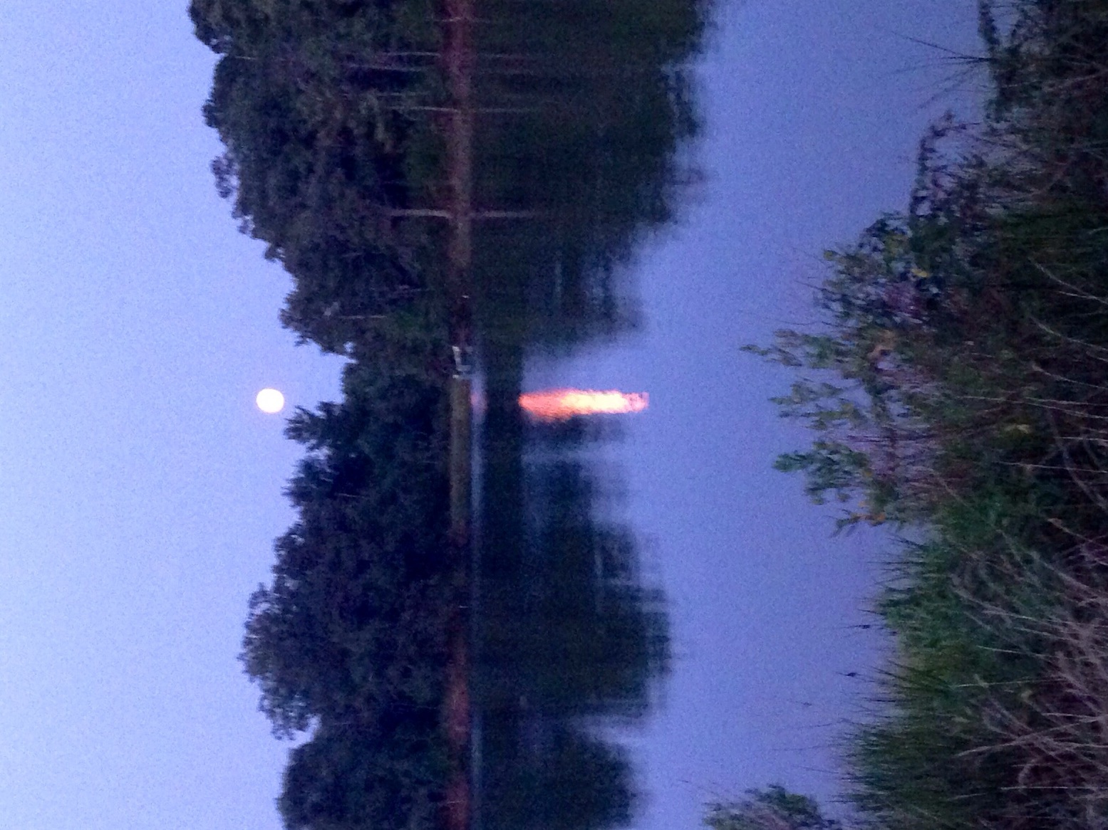
Super moon on Jarvis Creek, Kilmarnock VA
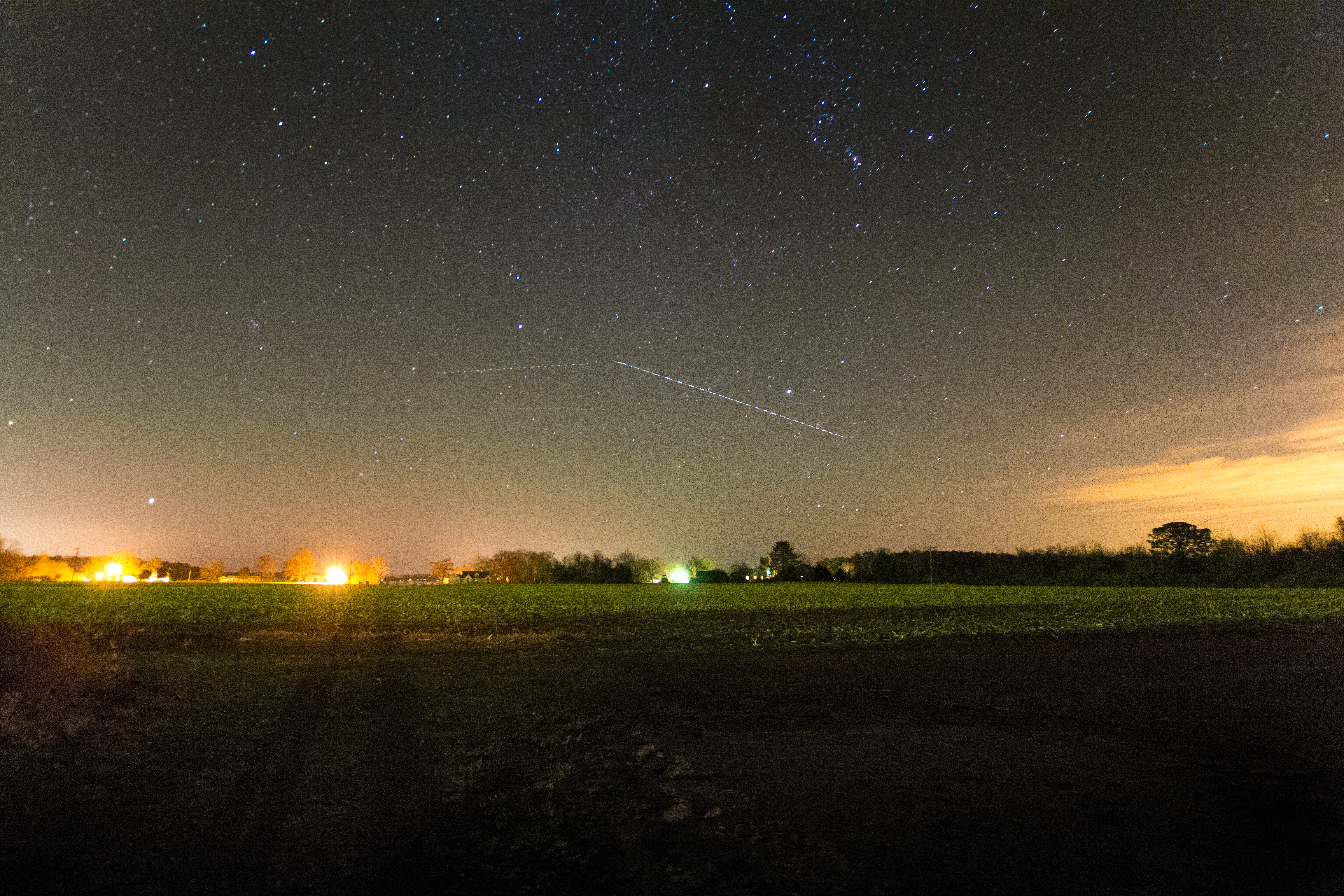
Above The Fields

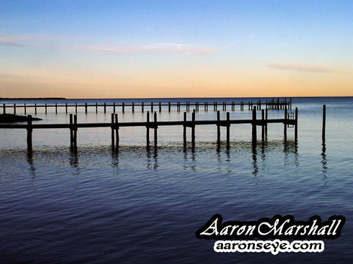
Sunset on Sturgeon Creek - Deltaville, VA

Locklies Creek, Topping Virginia 7:20 p.m. 6/10/16
DSC03177 w

Storm Off Stingray Point
DSC03185 w

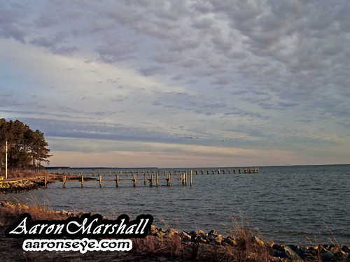
Sturgeon Creek
The Sun Sets
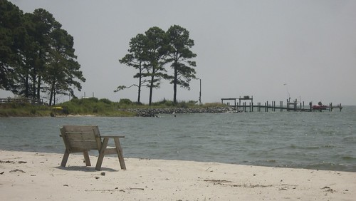
Lonely bench

Marston Engagement Shoot

Time to Head Home
DSC03170tweaksmooth1DPP w
Topographic Map of Ocran Rd, White Stone, VA, USA
Find elevation by address:

Places near Ocran Rd, White Stone, VA, USA:
27 Bay Dr
Dameron Drive
Windmill Point Road
2114 Windmill Point Rd
White Stone
Rappahannock Dr, White Stone, VA, USA
3520 Windmill Point Rd
4307 Windmill Point Rd
4186 Windmill Point Rd
4592 Windmill Point Rd
43 River Bluff Rd, White Stone, VA, USA
240 Walnut Dr
209 Broadway
Kilmarnock
5506 Windmill Point Rd
4, VA, USA
6034 Windmill Point Rd
180 Winona Dr
3, VA, USA
Irvington
Recent Searches:
- Elevation of Corso Fratelli Cairoli, 35, Macerata MC, Italy
- Elevation of Tallevast Rd, Sarasota, FL, USA
- Elevation of 4th St E, Sonoma, CA, USA
- Elevation of Black Hollow Rd, Pennsdale, PA, USA
- Elevation of Oakland Ave, Williamsport, PA, USA
- Elevation of Pedrógão Grande, Portugal
- Elevation of Klee Dr, Martinsburg, WV, USA
- Elevation of Via Roma, Pieranica CR, Italy
- Elevation of Tavkvetili Mountain, Georgia
- Elevation of Hartfords Bluff Cir, Mt Pleasant, SC, USA