Elevation of Ocean Creek Blvd, Fripp Island, SC, USA

Location: United States > South Carolina > Beaufort County > Fripp Island >

Longitude: -80.498206

Latitude: 32.3120024

Elevation: 5m / 16feet

Barometric Pressure: 101KPa

Elevation Map:

elevation map of Ocean Creek Blvd, Fripp Island, SC, USA

Satellite Map:

Satellite map of Ocean Creek Blvd, Fripp Island, SC, USA

Related Photos:

huntingisland lighthouse
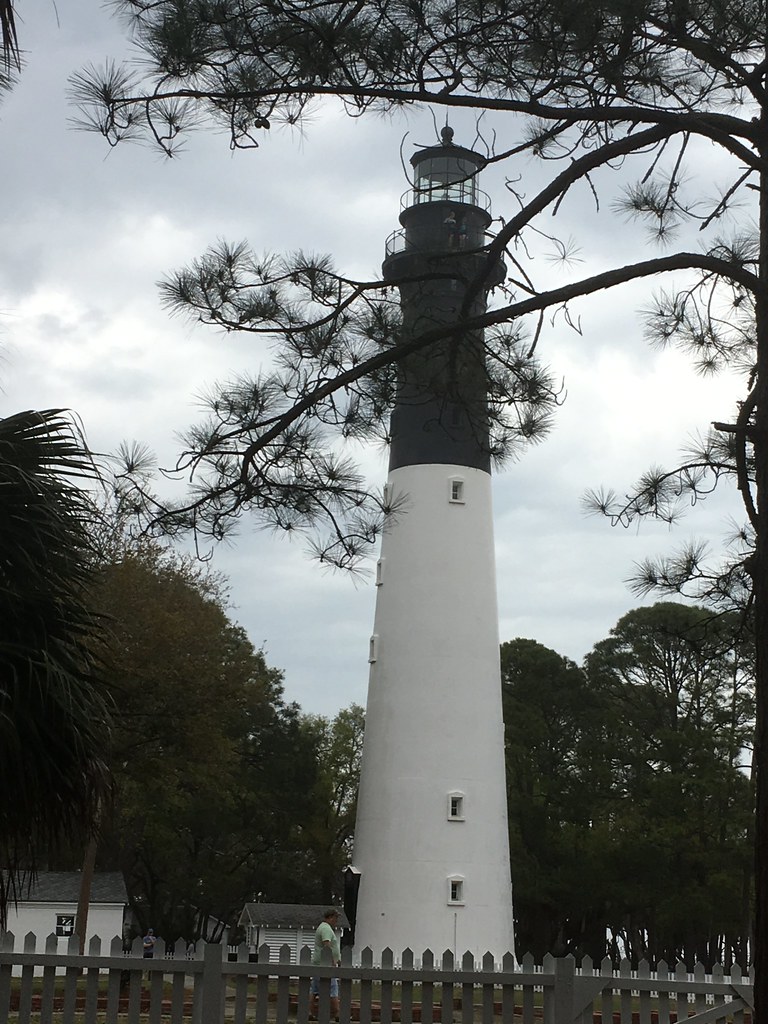
Light house on Hunting Island SC
trees beach silhouette silhouettes atlanticocean adamhall huntingisland trackhead trackheadstudios trackheadxxx
The Earth is Round
lighthouse clouds atlanticocean adamhall huntingisland seaislands trackhead trackheadstudios trackheadxxx
Hunting Island Lighthouse
beach adamhall seaislands trackhead trackheadstudios trackheadxxx
TrackHead Studios - Wide Open
adamhall trackhead trackheadstudios trackheadxxx
TrackHead Studios - Hunting Island
adamhall trackhead trackheadstudios trackheadxxx
TrackHead Studios - Picnic Beachside
beach bikini adamhall trackhead trackheadstudios trackheadxxx
TrackHead Studios - "I'm so confused."
canon rebelxt tokina 1224mm lens hunting island south carolina state park beaufort beach landscape atlantic ocean surf waves lowcountry coast fripp view southernlife swimming driftwood vacation family scenic america pasttime
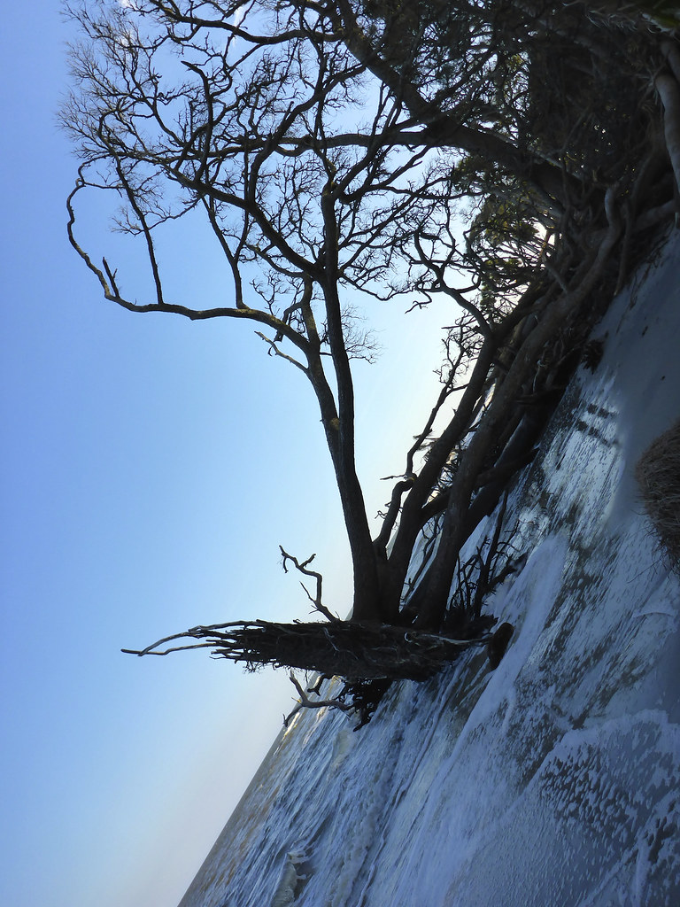
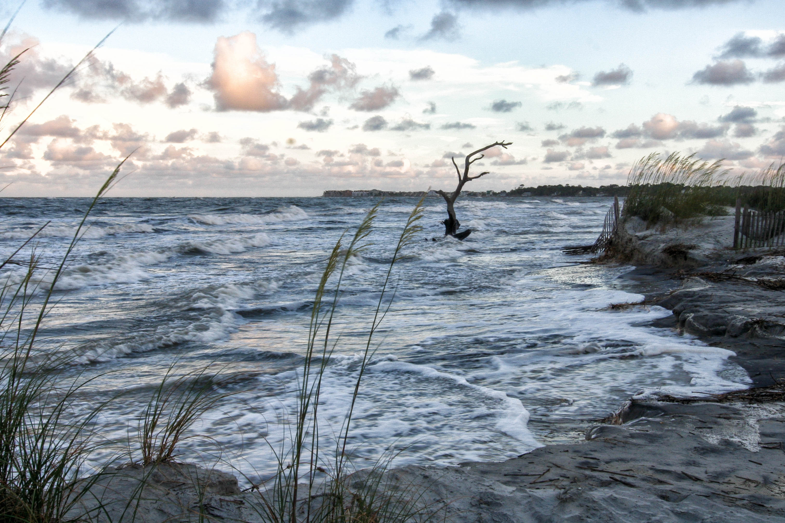
Driftwood & Surf & sunset - Hunting Island S.C.
family camping gay sunset vacation sun lighthouse white fish beach sc sunrise island bicycling high sand ancient picnic ride natural state dunes south tide low group hunting lakes scenic parks historic atlantic deer erosion biking dollar area co beaches carolina destination campground sporting shores inland beaufort villas cultural campsite sthelena palmetto cabins recreational hoan luong velociatilley
Golden hour - calm, peace, tranquility, serenity, relaxation, passive, silence, contemplative
family camping sunset vacation sun lighthouse white beach sc sunrise island bicycling coast high sand ancient picnic ride natural state dunes south tide low group hunting lakes scenic parks historic atlantic deer erosion biking dollar area beaches carolina destination campground sporting shores inland beaufort villas cultural campsite sthelena palmetto cabins recreational
Spanish moss at cloudy sunset
family camping sunset vacation sun lighthouse white beach sc birds sunrise island bicycling high sand ancient picnic ride natural state dunes south tide low group hunting salt lakes scenic parks palm historic atlantic deer erosion biking dollar area cabbage beaches carolina destination marsh campground racoon sporting shores inland beaufort villas cultural campsite sthelena palmetto cabins tilley recreational hoan luong velocia
Hunting Island's salt marsh view from fishing pier
family camping sunset vacation sun lighthouse white beach sc birds sunrise island bicycling high sand ancient picnic ride natural state dunes south tide low group hunting lakes scenic parks palm historic atlantic deer erosion biking dollar area cabbage beaches carolina destination campground racoon sporting shores inland beaufort villas cultural campsite sthelena palmetto cabins tilley recreational hoan luong velocia
Ospreys, brown pelicans, eagles in harmony with their surroundings. View from Nature Center's pier fishing. Fripp Island bridge in the background.
ocean statepark lighthouse black sc up metal stairs spiral coast southcarolina atlantic curve spiralstairs huntingislandstatepark huntingislandlighthouse huntingislandlight
Lighthouse Stairs
trees grass clouds island straw stormy boardwalk marsh beaufort
Boardwalk to the Marshy Island
county old family church cemetery saint parish wall port army construction ruins war worship treasure planters south tabby gothic colonial 1988 royal chapel places historic creepy civil national edgar sound legends end horror carolina ghosts helena register lands eliza stories paranormal yankee period federal beaufort remains coordinates 1740 anglican haunt ease fripp phenomenon masoleum ghouls 1852 frogmore parishioner 32°22′31″n 80°34′36″w
The tabby walls view from interior
county old family church cemetery saint parish wall port army construction ruins war worship treasure planters south tabby gothic colonial 1988 royal chapel places historic creepy civil national edgar sound legends end horror carolina ghosts helena register lands eliza stories paranormal yankee period federal beaufort remains coordinates 1740 anglican haunt ease fripp phenomenon masoleum ghouls 1852 frogmore parishioner 32°22′31″n 80°34′36″w
The crypt view from inside the chapel thru the right tabby wall
county old family church cemetery saint parish wall port army construction ruins war worship treasure planters south tabby gothic colonial 1988 royal chapel places historic creepy civil national edgar sound legends end horror carolina ghosts helena register lands eliza stories paranormal yankee period federal beaufort remains coordinates 1740 anglican haunt ease fripp phenomenon masoleum ghouls 1852 frogmore parishioner 32°22′31″n 80°34′36″w
Chapel view from backyard
southcarolina oceansurfsidecoastalbarrierislandshuntingisland
Quiet surf
beaufort flickr huntingisland places southcarolina sthelensisland portfolio
Dawn on Fripp Inlet
sunrise frippisland bird huntingisland g thisisexcellent
Sunrise on Hunting Island - Explored
flowers flower adamhall trackhead trackheadstudios trackheadxxx
TrackHead Studios - Purple Tips
Beach Tree
bikini adamhall trackhead trackheadstudios trackheadxxx
Happy Independence Day
moon other flickr southcarolina places huntingisland sthelensisland
Setting Moon
family camping sunset vacation sun lighthouse white beach sc birds sunrise island bicycling high sand ancient picnic ride natural state dunes south tide low group hunting lakes scenic parks palm historic atlantic deer erosion biking dollar area cabbage beaches carolina destination campground racoon sporting shores inland beaufort villas cultural campsite sthelena palmetto cabins tilley recreational hoan luong velocia
Hunting Island salt marsh
shrimpboat shrimpboats shrimping coastal dock boats river clouds monochrome blackwhite landscape nets bay creek docks explored
Preparing the Nets-B&W
ocean park beach canon lens island coast sand surf waves state south hunting lowlands atlantic tokina driftwood carolina rebelxt beaufort 1224mm seascape landscape scenic lowstate
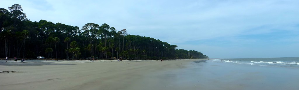
Beach Landscape - Hunting Island S.C.
sonya6300 ocean sunrise beach clouds waterfront water waves sun frippisland amazing beautiful landscape sony 1670 f4 carlzeiss1670mmf4
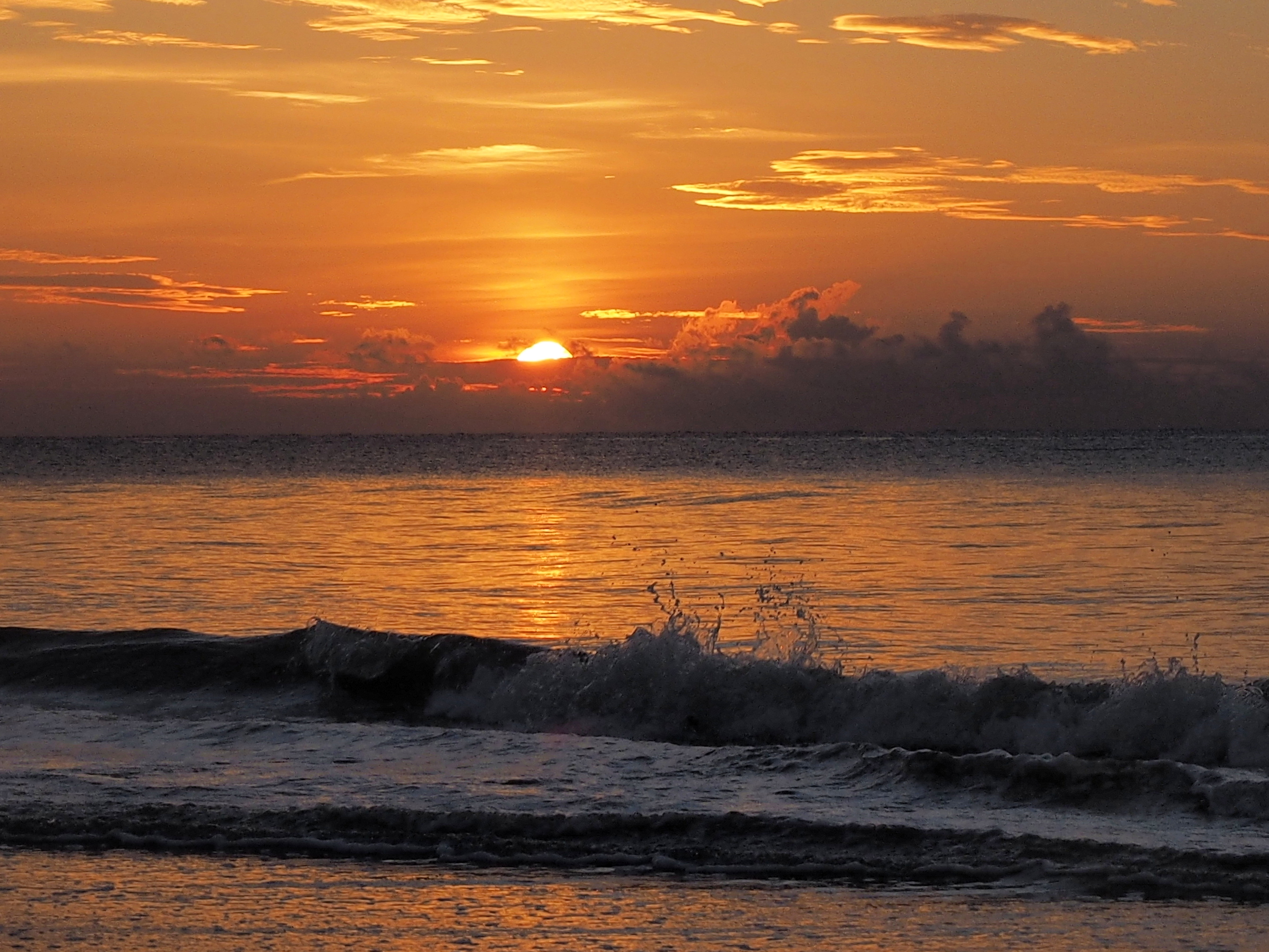
Sunrise Fripp Island South Carolina
Spash of Color
7dmkii ocean canon southcarolina
St. Helena Island, SC
Portrait of a Landscape
family camping gay sunset vacation sun lighthouse white fish beach sc sunrise island bicycling high sand ancient picnic ride natural state dunes south tide low group hunting lakes scenic parks historic atlantic deer erosion biking dollar area co beaches carolina destination campground sporting shores inland beaufort villas cultural campsite sthelena palmetto cabins recreational hoan luong lighthousetrek velociatilley
Exposed rusted groin at low tide. Hunting Island lighthouse in the background
2018 canon7d southcarolina brucegates february landscape chapelofeaseruins beaufortcounty colour sigma1020mm
Chapel of Ease Ruins
beach eagle
unitedstates southcarolina 2014 sainthelenaisland d7000 december2014
Beach at Hunting Island SC
2018 canon7d southcarolina brucegates february landscape sigma1020mm blackwhite beaufort county fortfremont
Fort Fremont
sainthelenaisland southcarolina unitedstates us
IMG_1796.jpg
instagramapp square squareformat iphoneography uploaded:by=instagram
Marsh Sunset