Elevation of Oc Roland Rd, Jefferson, NC, USA
Location: United States > North Carolina > Ashe County > Jefferson > Jefferson >
Longitude: -81.454049
Latitude: 36.407748
Elevation: 1032m / 3386feet
Barometric Pressure: 90KPa
Elevation Map:
Satellite Map:
Related Photos:

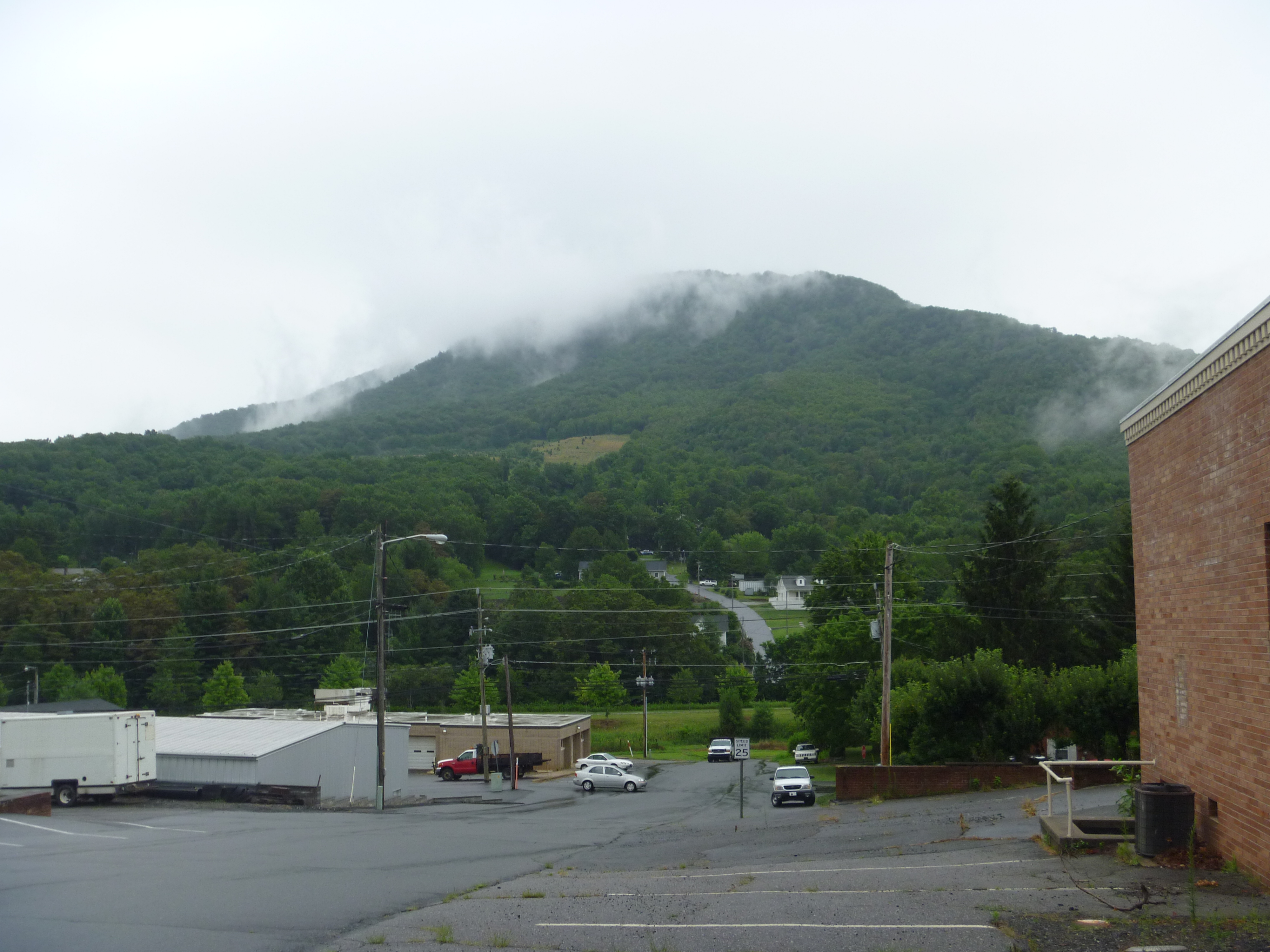
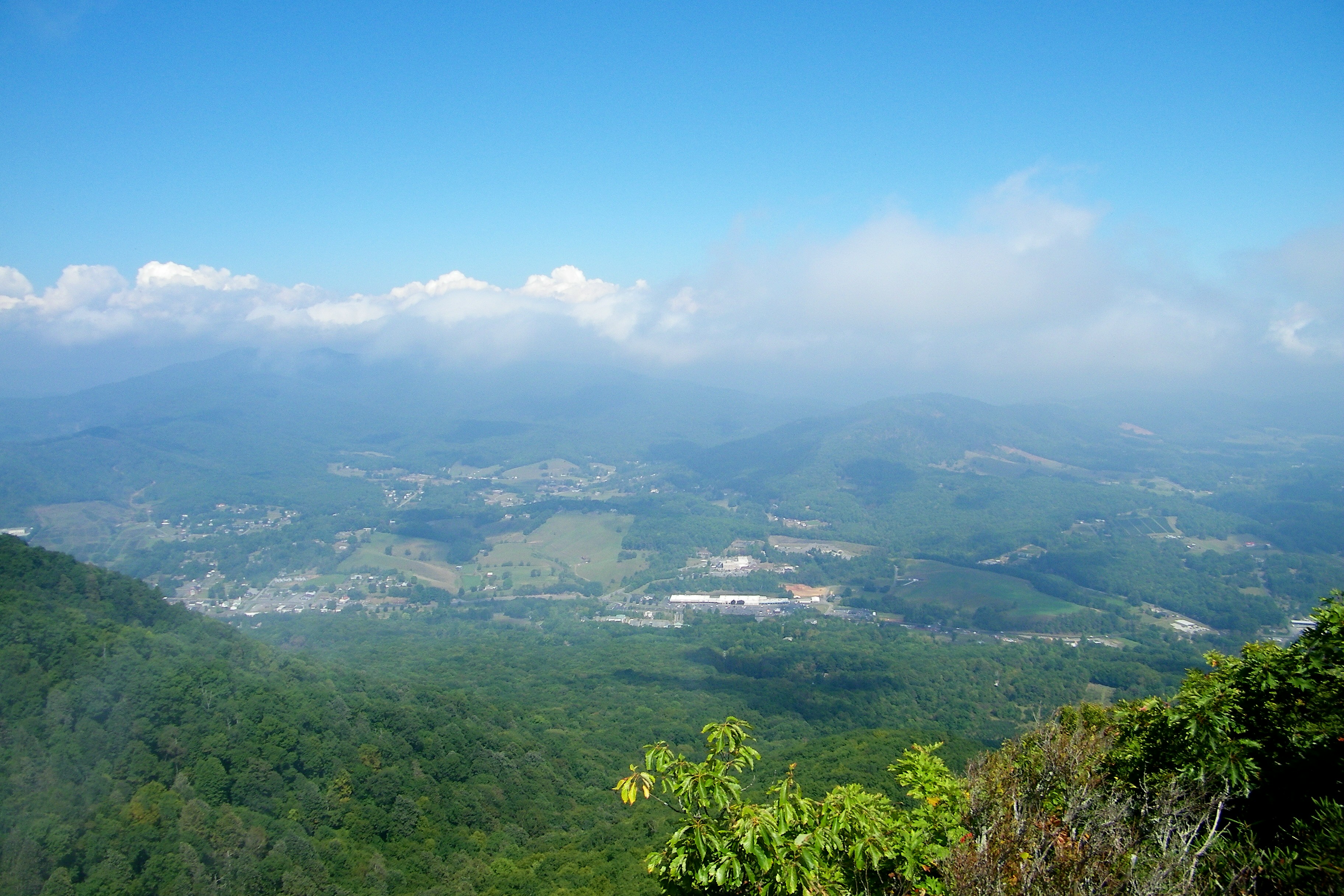
Luther Rock View
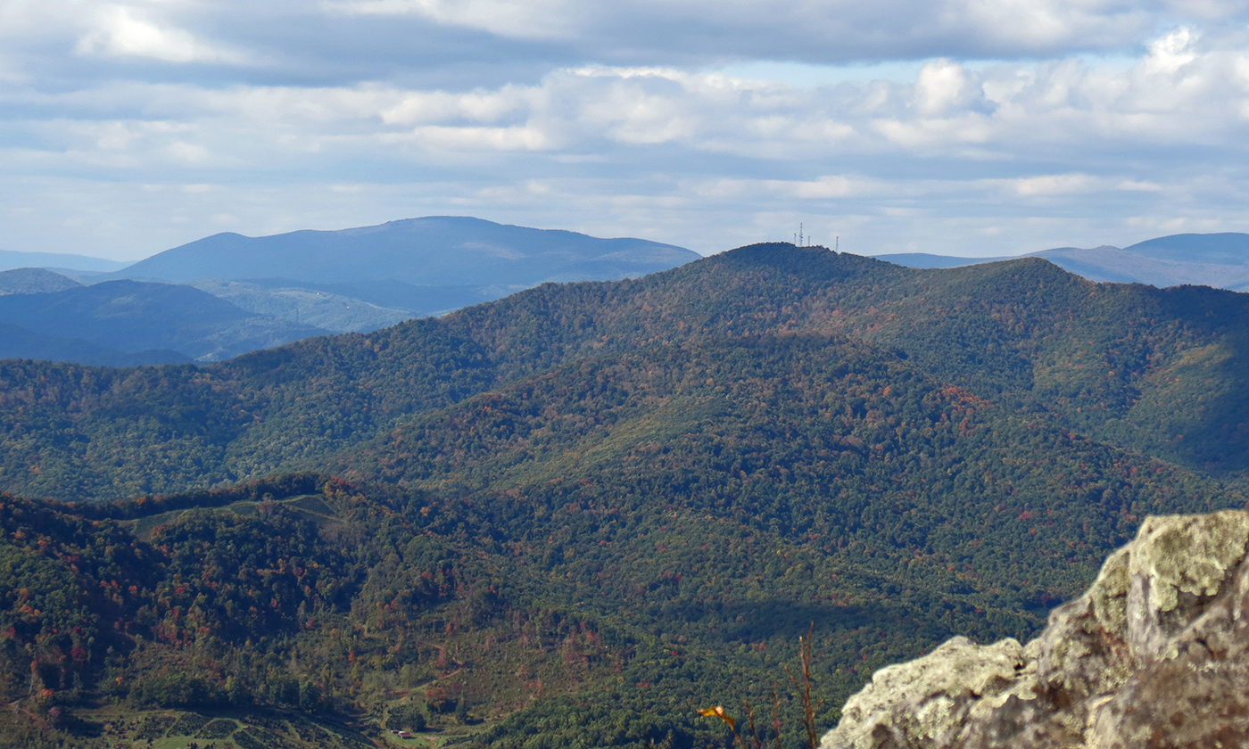
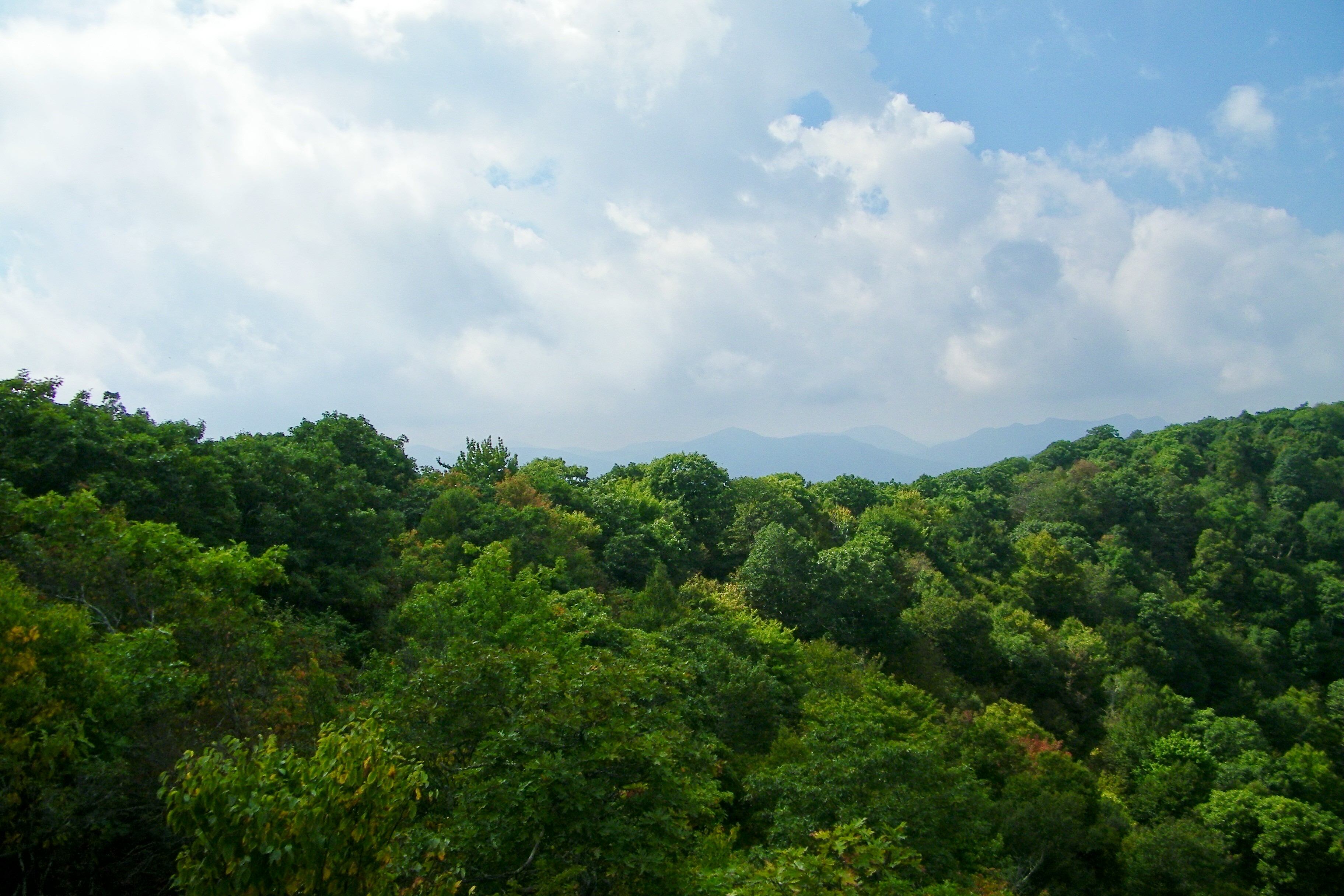
Early Fall in the Southern Appalachians

view from up the hill

my current view

View Along W4C/EM-014 - Three Top Mountain Ridge Line
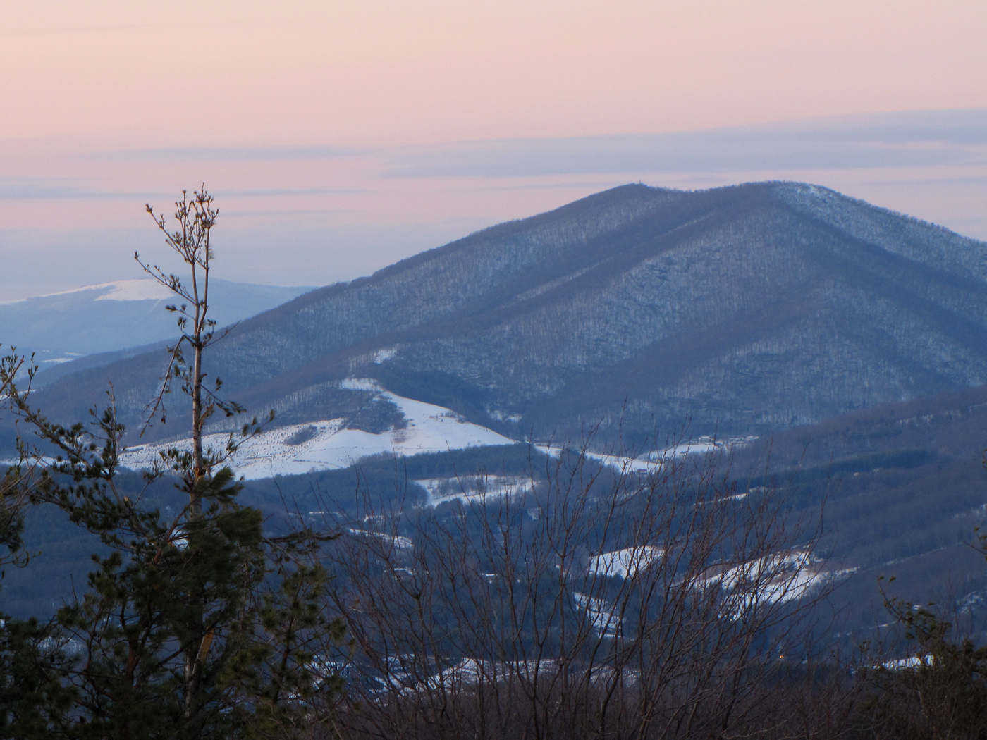
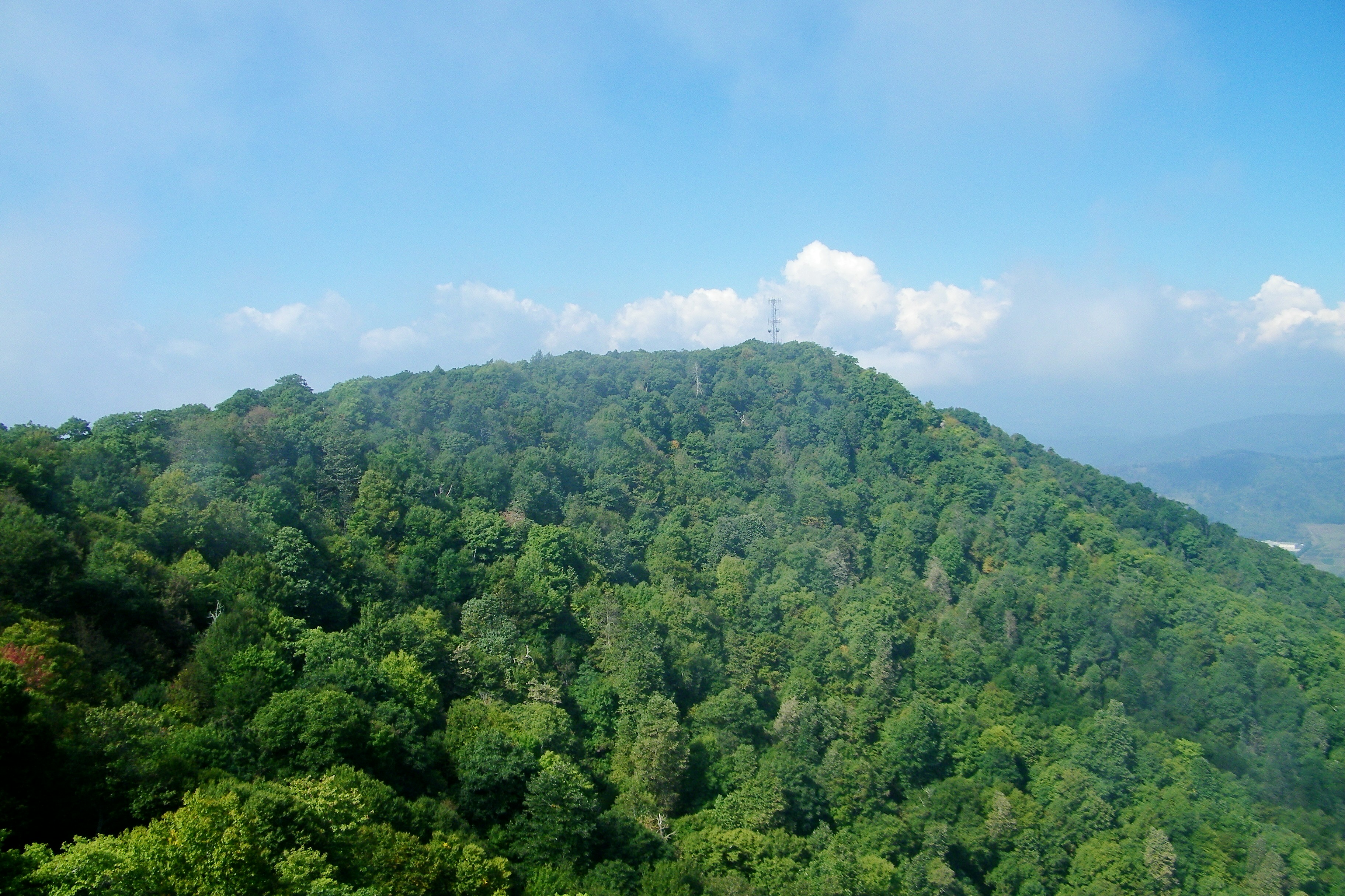
Mount Jefferson
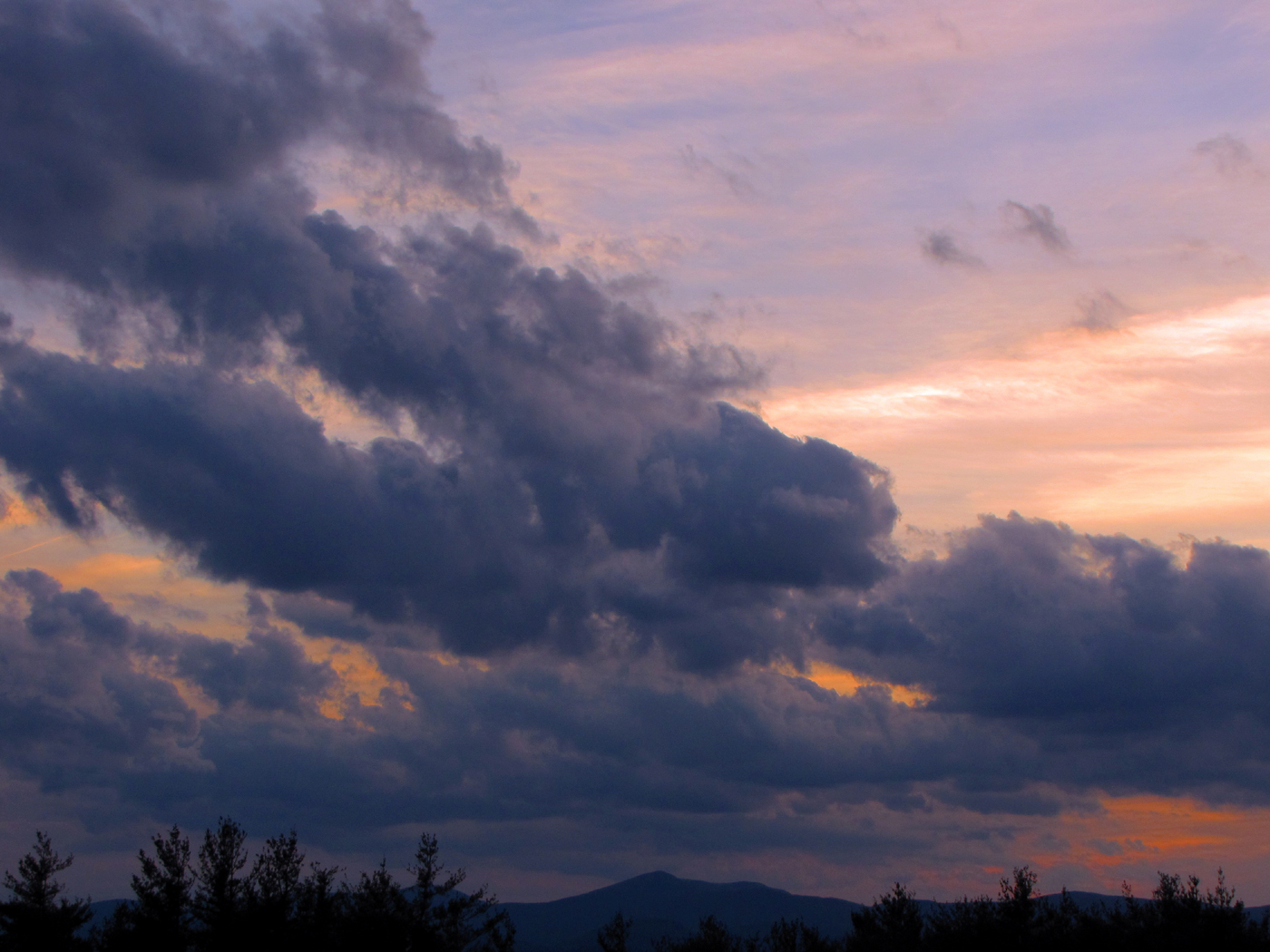
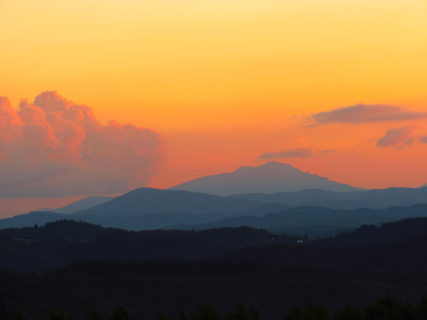
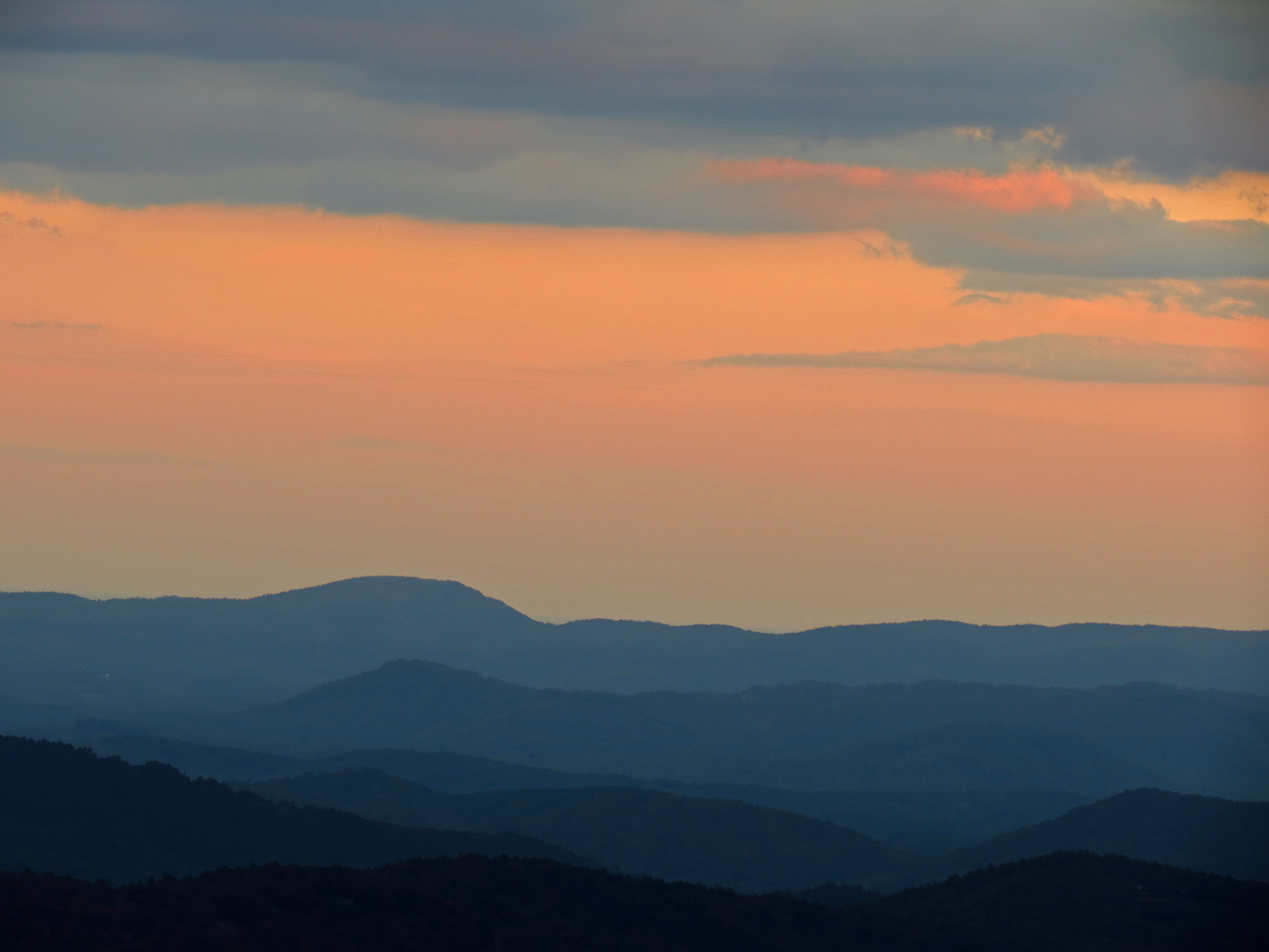
Sunset Clouds
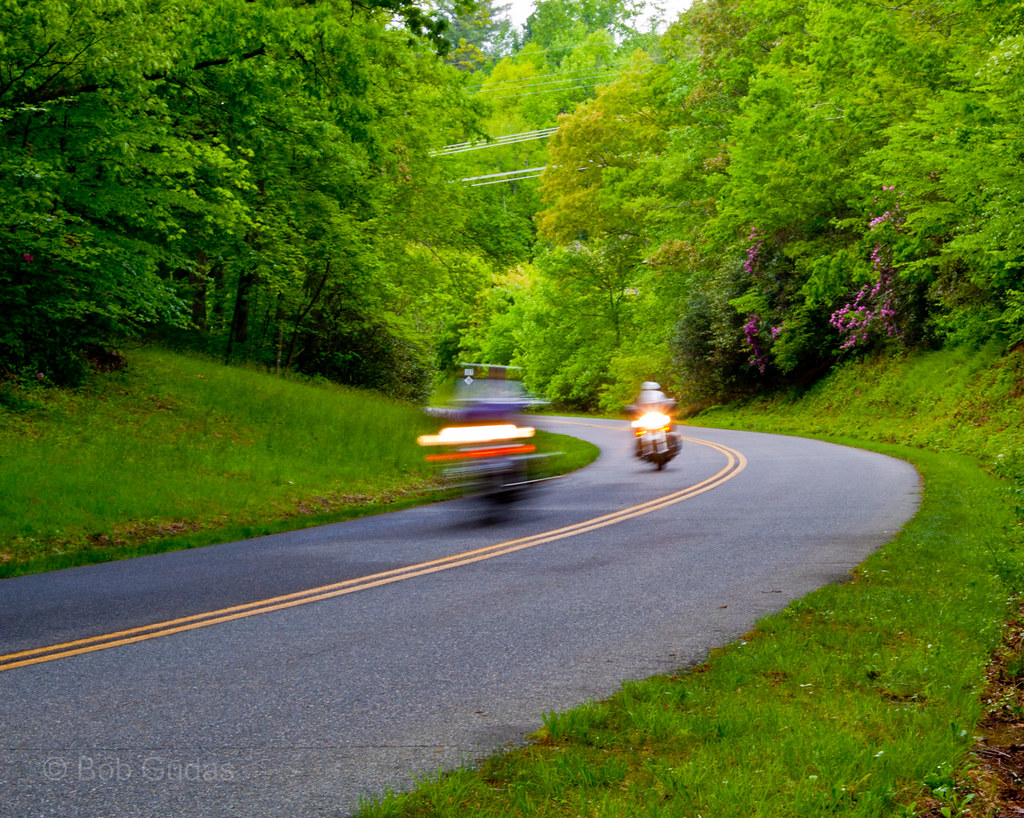
Biking the Blue Ridge

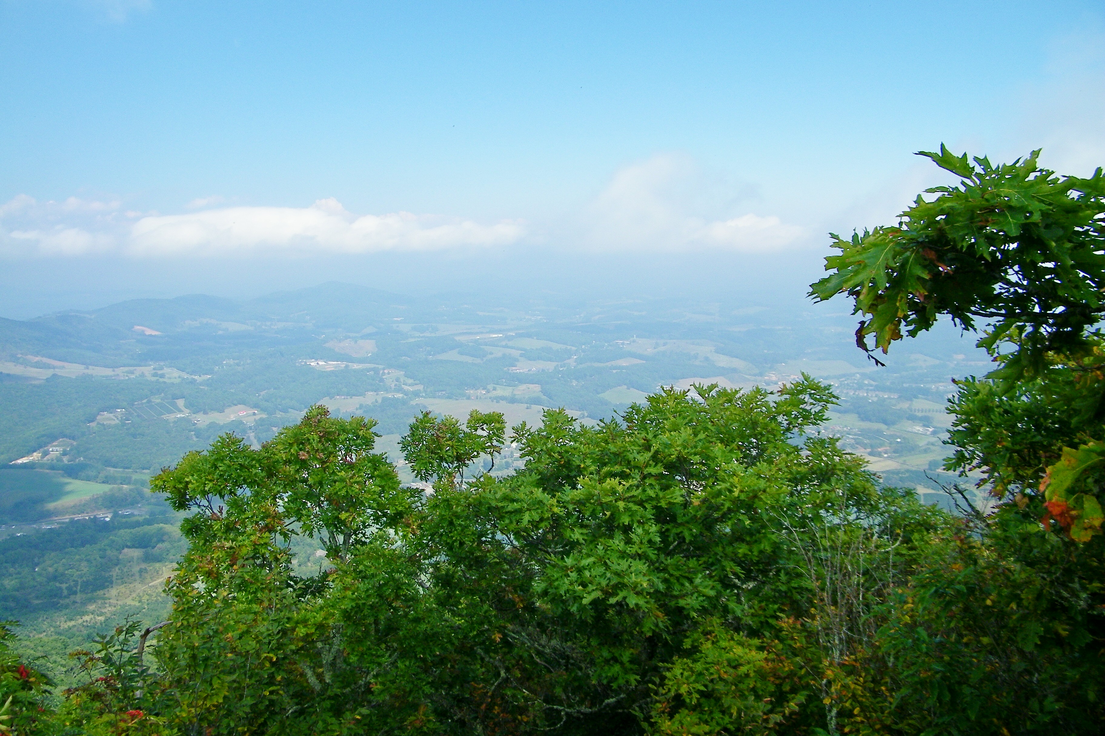
The spectacular views

Jumpingoff Rocks
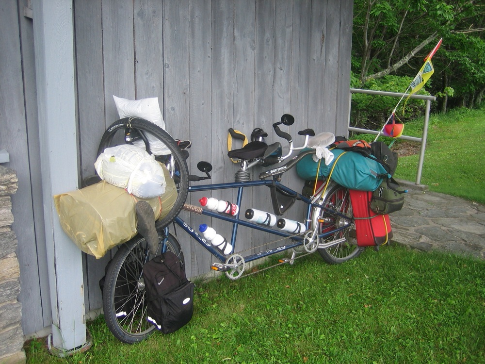
loaded tandem

Waking up enjoying the view
My view at the park.
Mount Jefferson
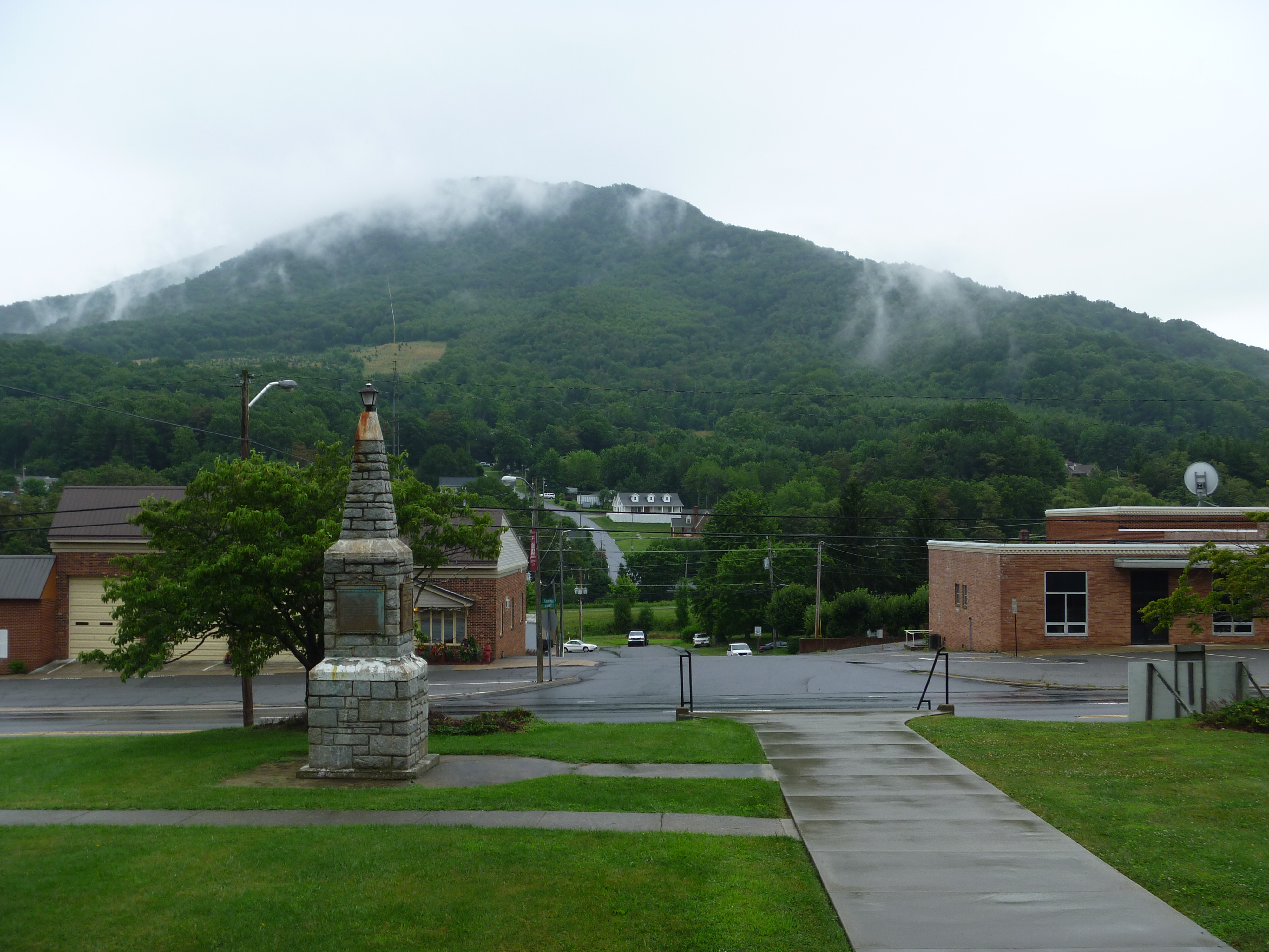
West Jefferson, North Carolina
Mount Jefferson
Mount Jefferson State Natural Area

Mount Jefferson State Natural Area
Mount Jefferson State Natural Area
Mount Jefferson State Natural Area
Mount Jefferson State Natural Area
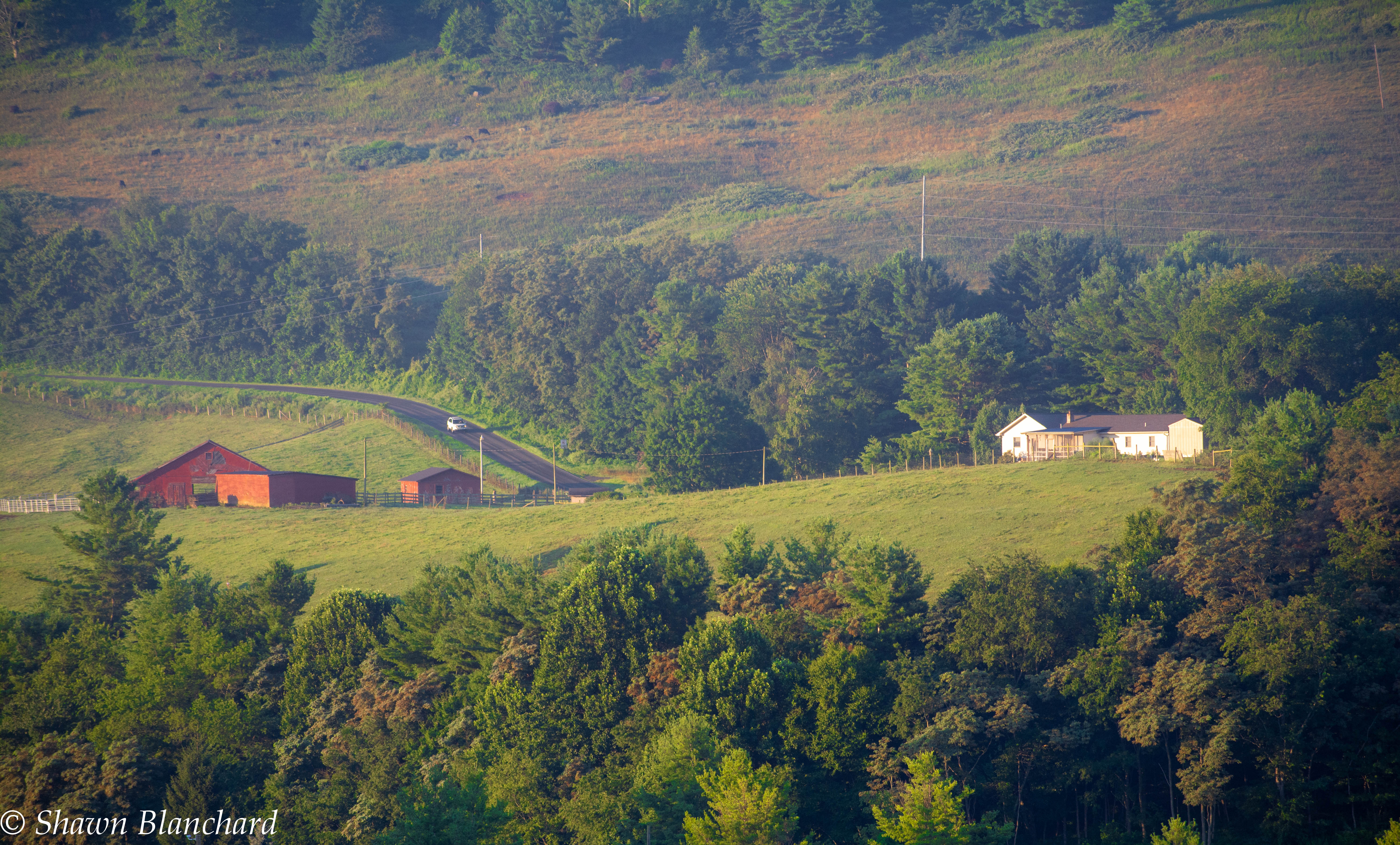
Farm in the Mountains

Chicory 183/365
Grandfather Mountain Sunset
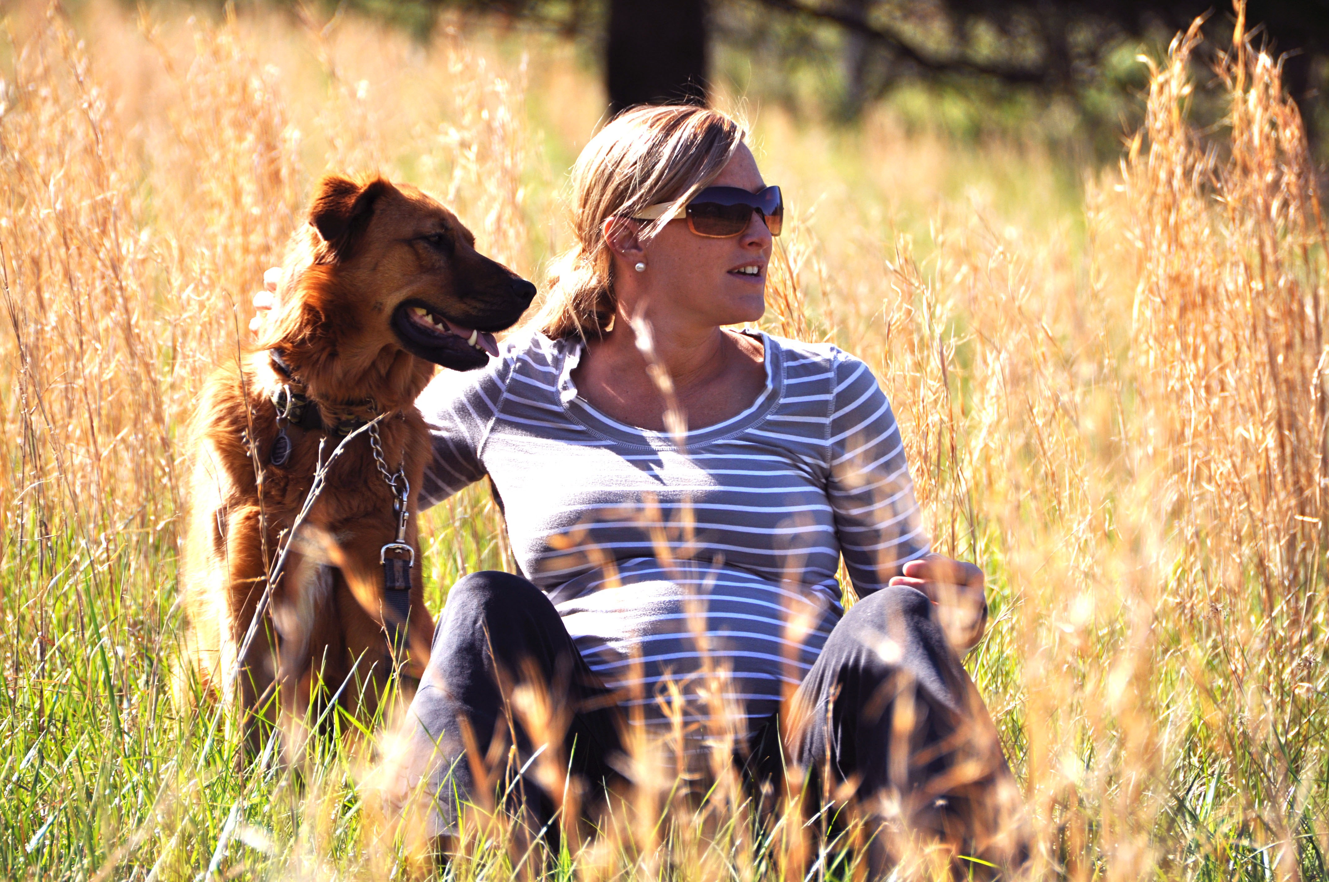
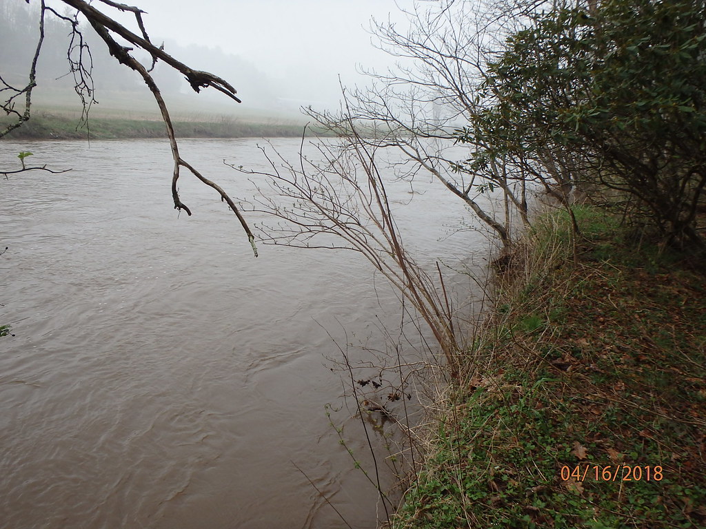
river and her momma to be
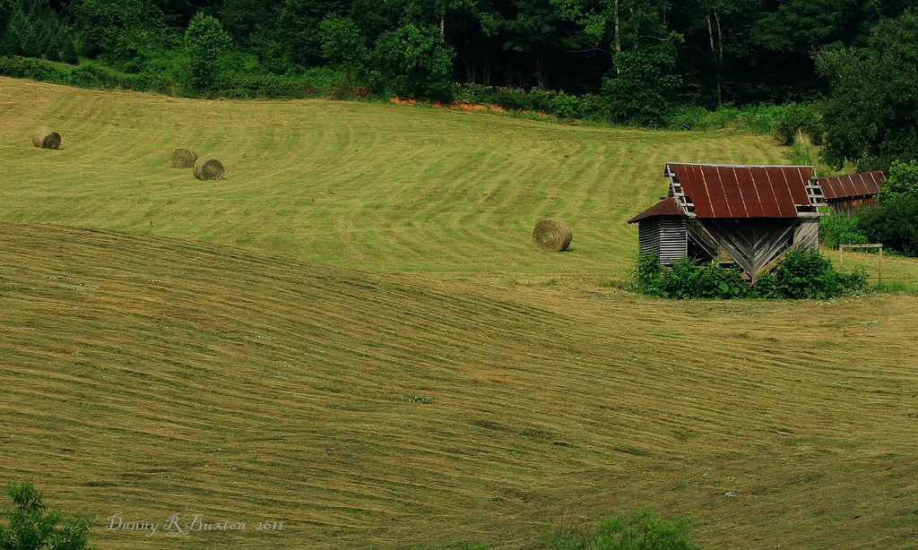
Making Hay 185/365

Bard_SL (149)

Bard_SL_1 (6)
BardP2_SL (6)
Lewis Fork Overlook

Mt Rogers Summit Panorama

072214_346_Blue Ridge Pkwy - Tom Dula at the Lump
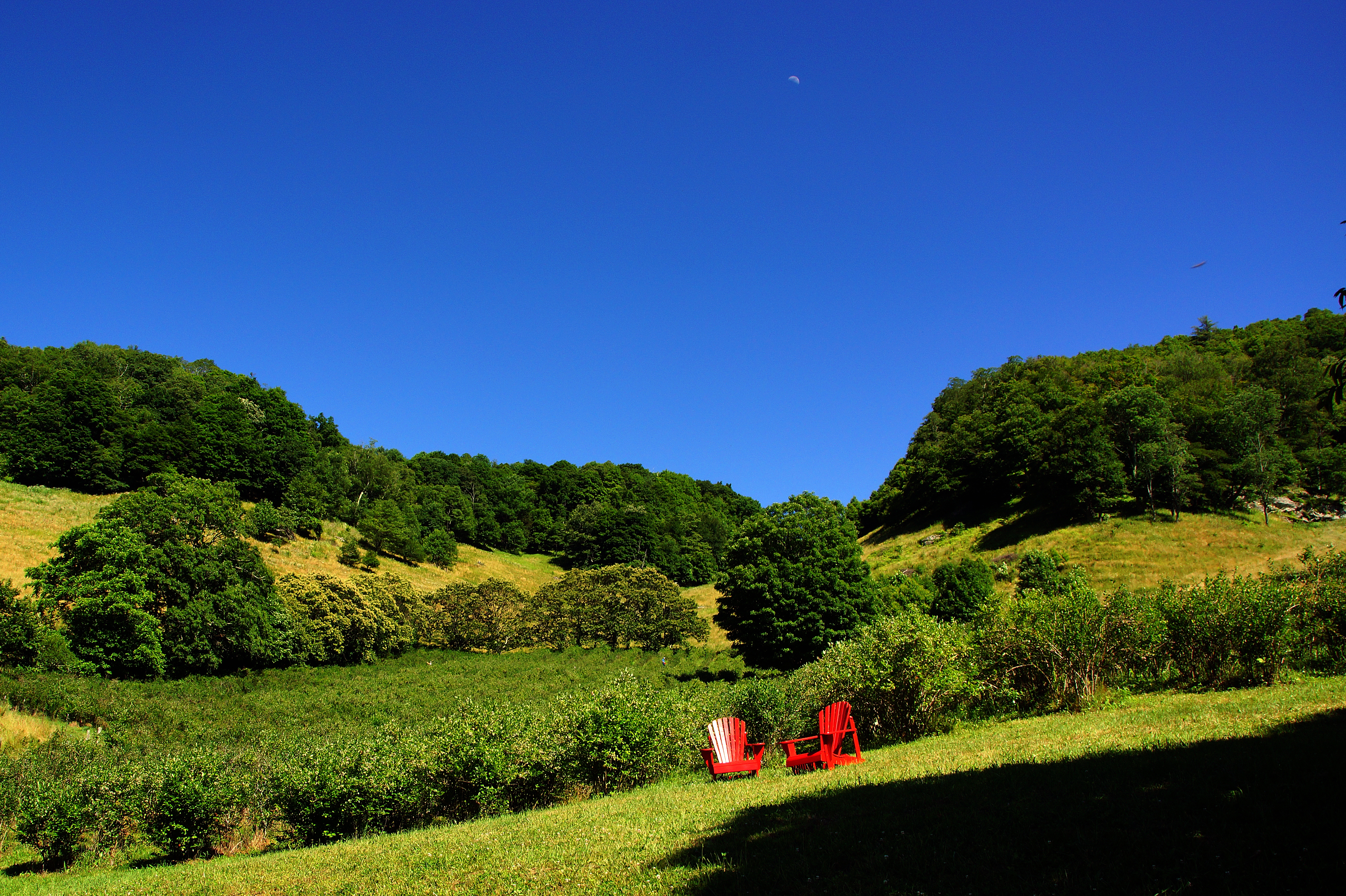
Day Moon over blueberry field at Old Orchard Creek Farm, Lansing, NC - 2
Cascade Falls
Leave me alone and let me eat in peace

Mount Jefferson Overlook

Sunrise @ The Lump

072214_347_Blue Ridge Pkwy
Fall Hike at Mount Jefferson
Panorama of Beaver Creek to Baldwin, North Carolina

118/365: Thursday, April 28, 2011: DeBoard's Fox Hunt Farm, Grassy Creek, Ashe County, North Carolina
Topographic Map of Oc Roland Rd, Jefferson, NC, USA
Find elevation by address:

Places near Oc Roland Rd, Jefferson, NC, USA:
Winter Street
Winter Street
170 Madison Ln
Hillside Lane
Mount Jefferson
698 Panther Dr
638 Panther Dr
206 Oak Grove Cir
206 Oak Grove Cir
158 Northview Dr
Buckeye Lane
142 Mt Jefferson Ln
101 Stone St
119 Courtview Dr
430 Long St
Mount Jefferson State Natural Area
750 N Old North Carolina Hwy 16
212 State Rd 1587
201 Don Walters Rd
121 Willowbend Ln
Recent Searches:
- Elevation of Corso Fratelli Cairoli, 35, Macerata MC, Italy
- Elevation of Tallevast Rd, Sarasota, FL, USA
- Elevation of 4th St E, Sonoma, CA, USA
- Elevation of Black Hollow Rd, Pennsdale, PA, USA
- Elevation of Oakland Ave, Williamsport, PA, USA
- Elevation of Pedrógão Grande, Portugal
- Elevation of Klee Dr, Martinsburg, WV, USA
- Elevation of Via Roma, Pieranica CR, Italy
- Elevation of Tavkvetili Mountain, Georgia
- Elevation of Hartfords Bluff Cir, Mt Pleasant, SC, USA