Elevation of Oberhalbstein Alps, Avers, Switzerland
Location: Switzerland > Grisons > Hinterrhein District > Avers >
Longitude: 9.51
Latitude: 46.46
Elevation: 2286m / 7500feet
Barometric Pressure: 77KPa
Elevation Map:
Satellite Map:
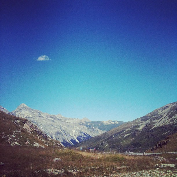
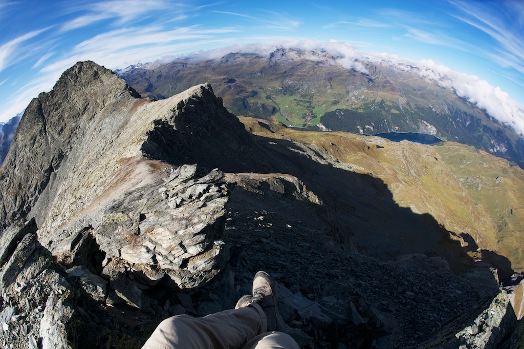
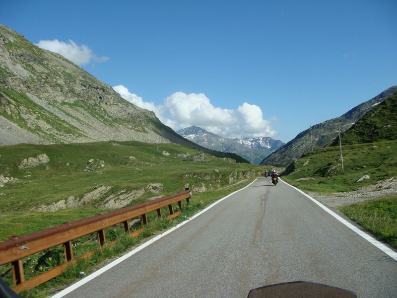
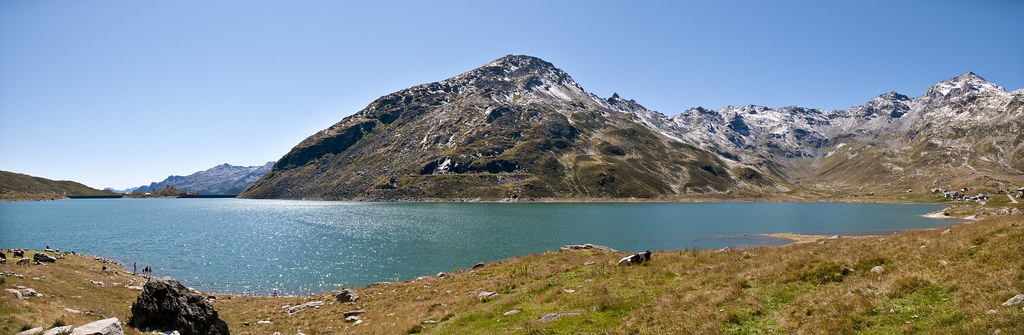
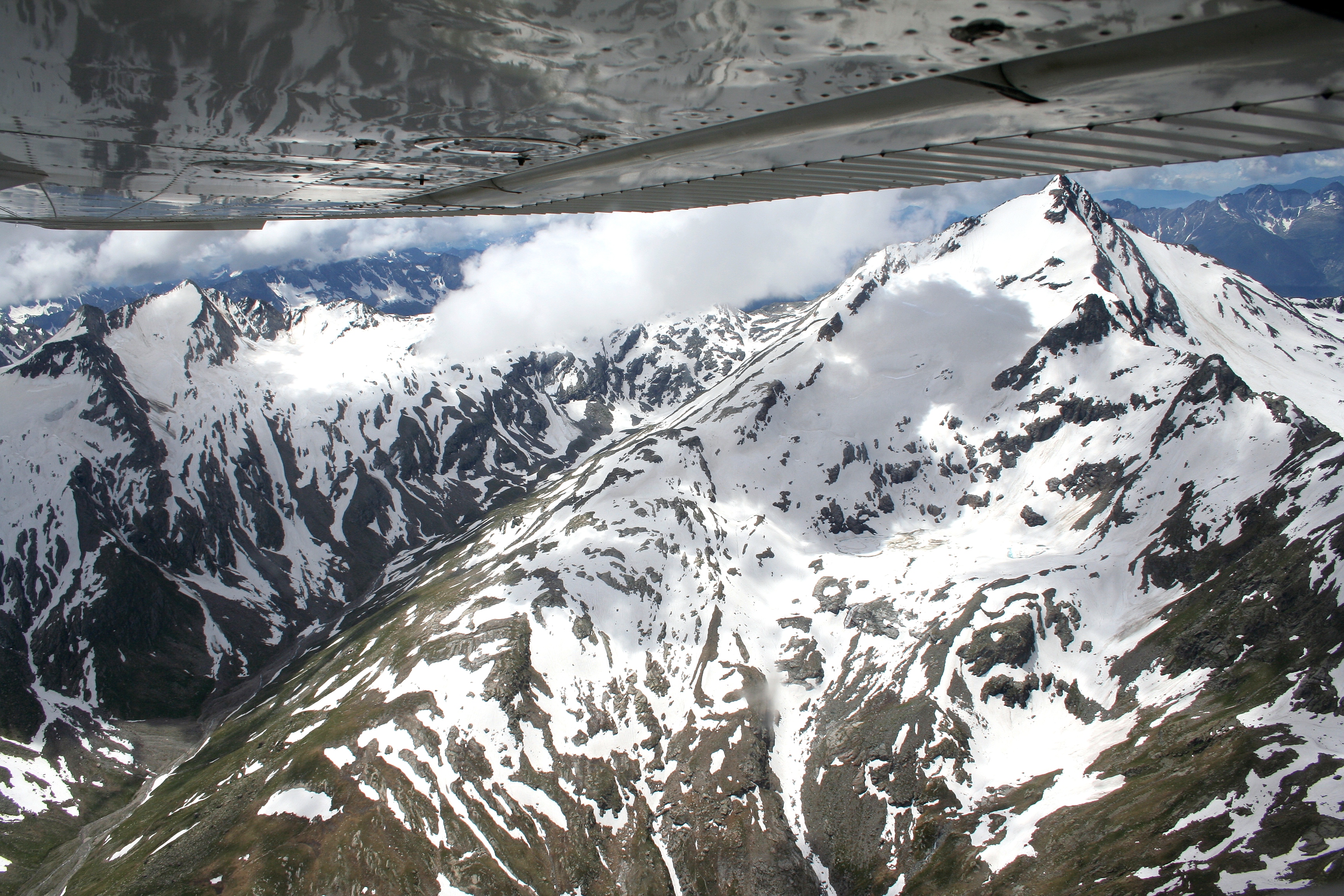
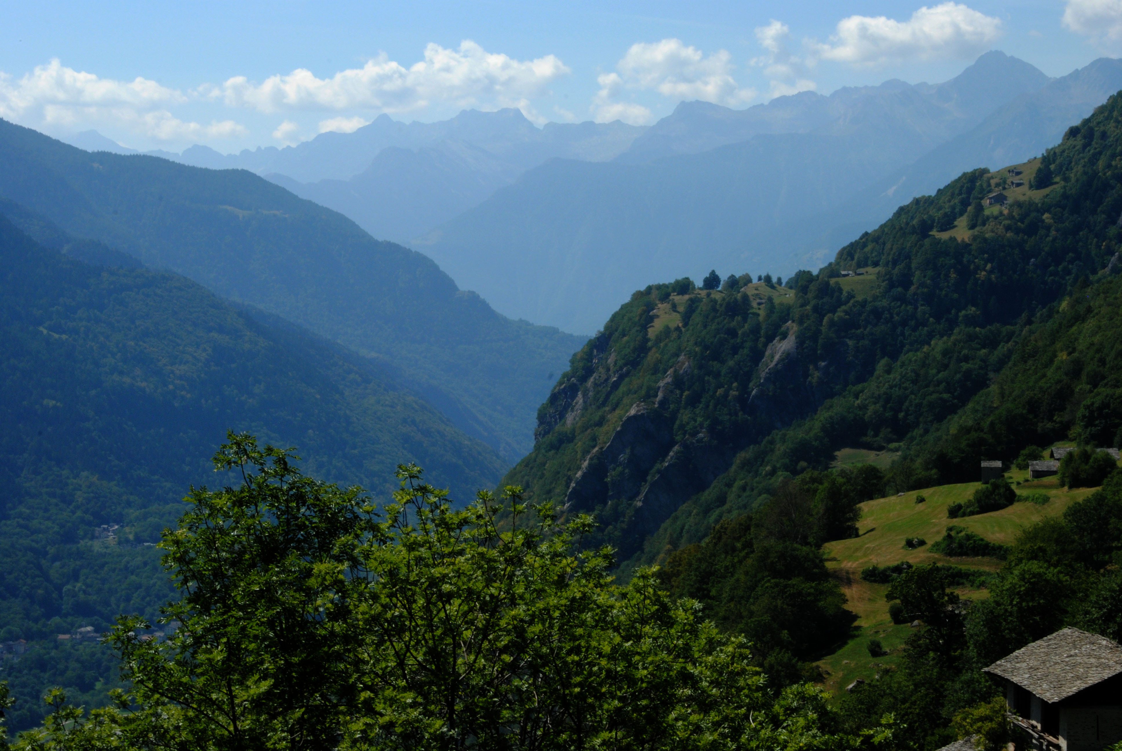
Related Photos:

Soglio, Switzerland
L'amore trasparente
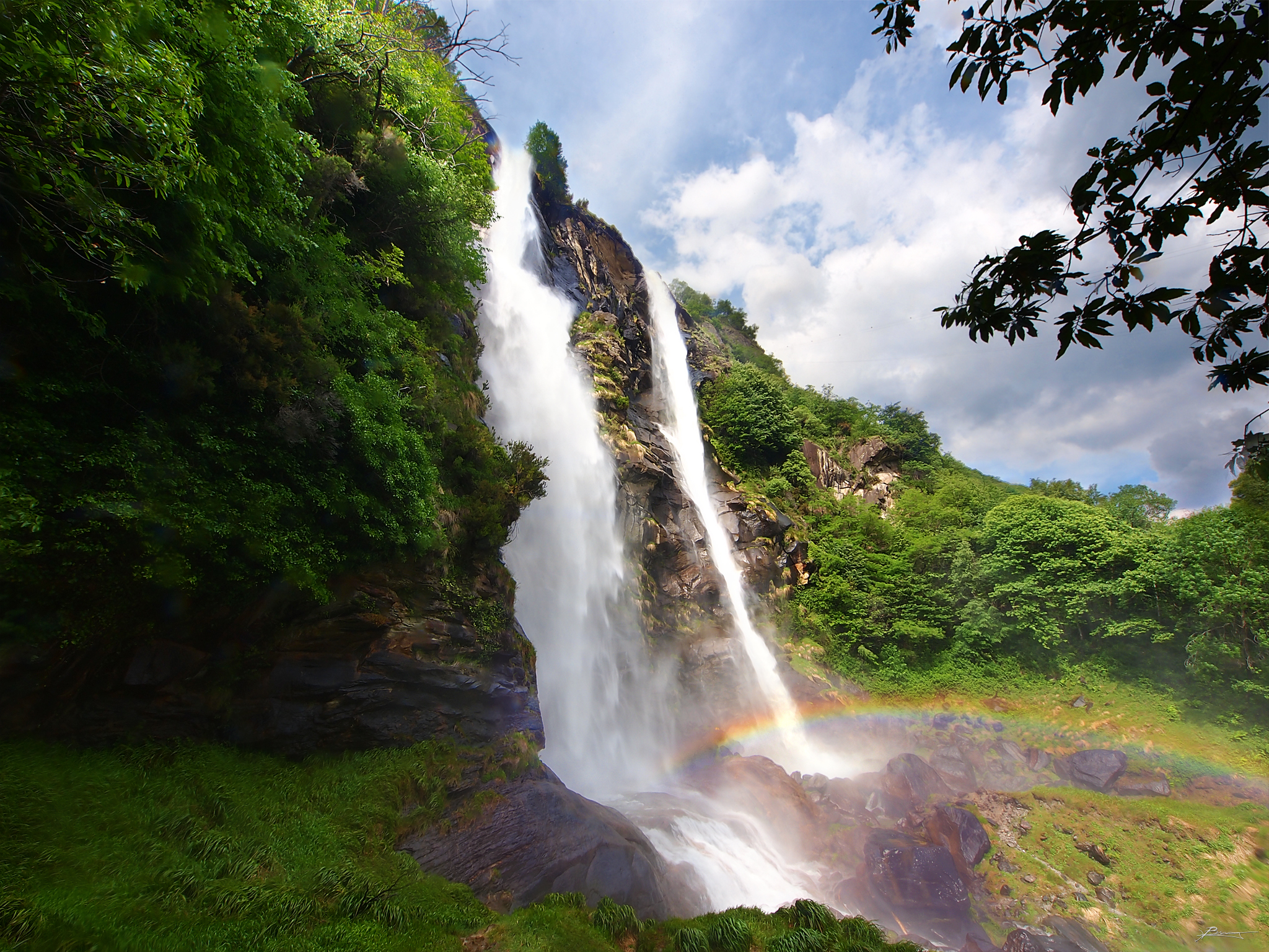
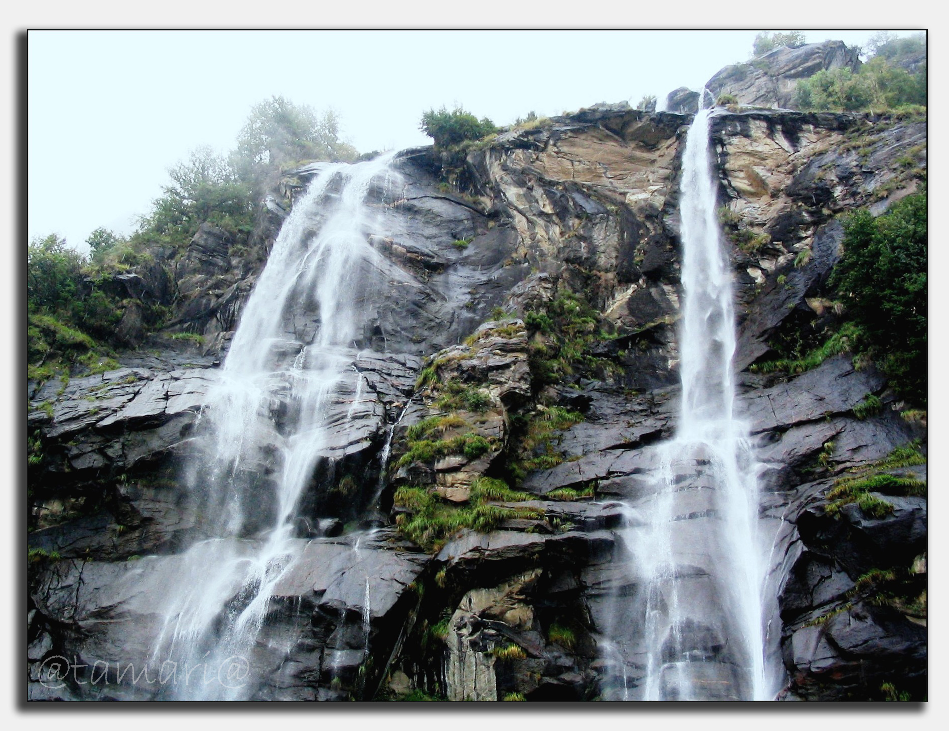
little rainbow
View by Casaccia (Bregaglia Valley).
Piz lagrev - 3165 m
View to Switzerland
Sitting on a edge
DSC01326.JPG
Passo dello Spluga
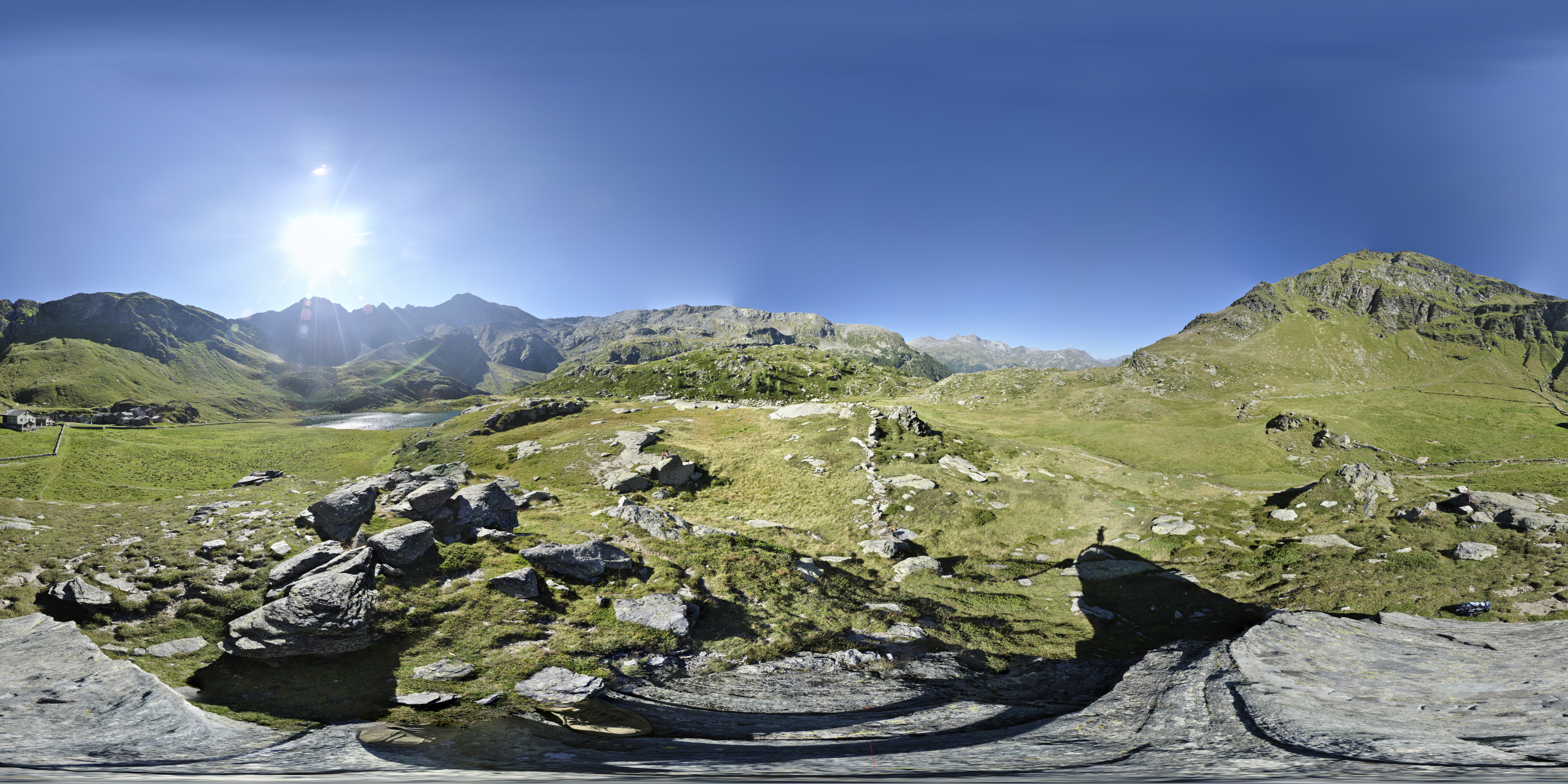
Lago Angeloga - 360° photo

Journey to Switzerland ✈⛪⛵ #2012 #summer...
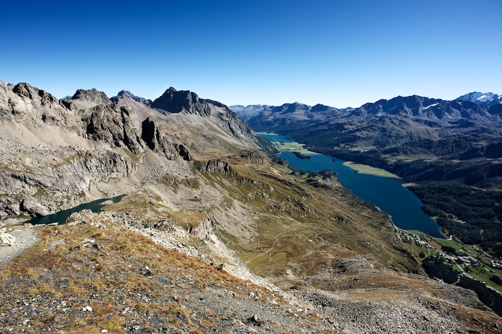
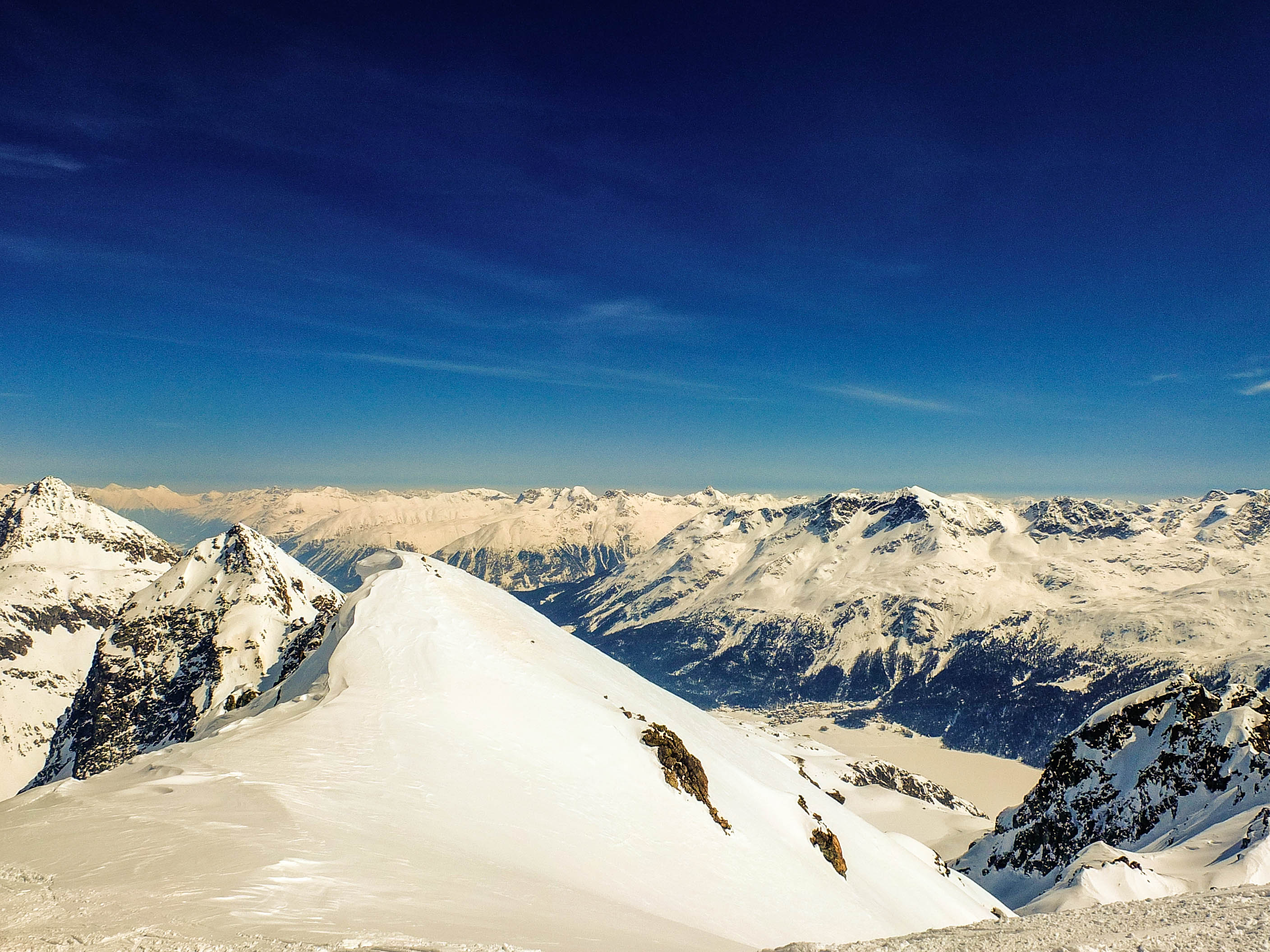
High above Maloja
DSC01321.JPG
DSC01327.JPG
Piz with a view
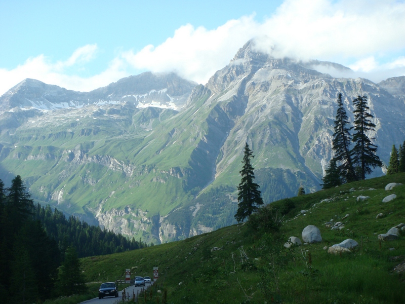
Spluga Valley - Mountains
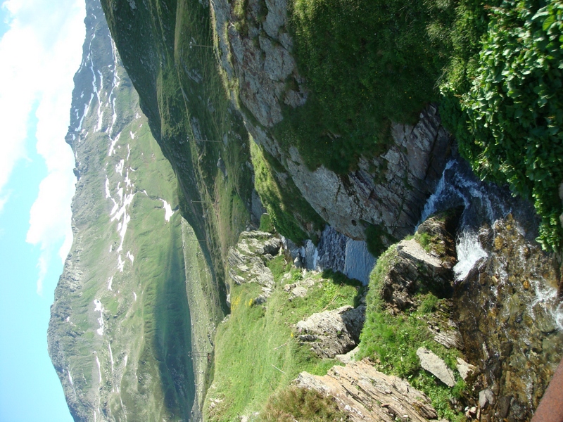
Lei Valley - The lake
View from Larici Restaurant
Lei Valley - The mountains

view to the south from alp digl plaz
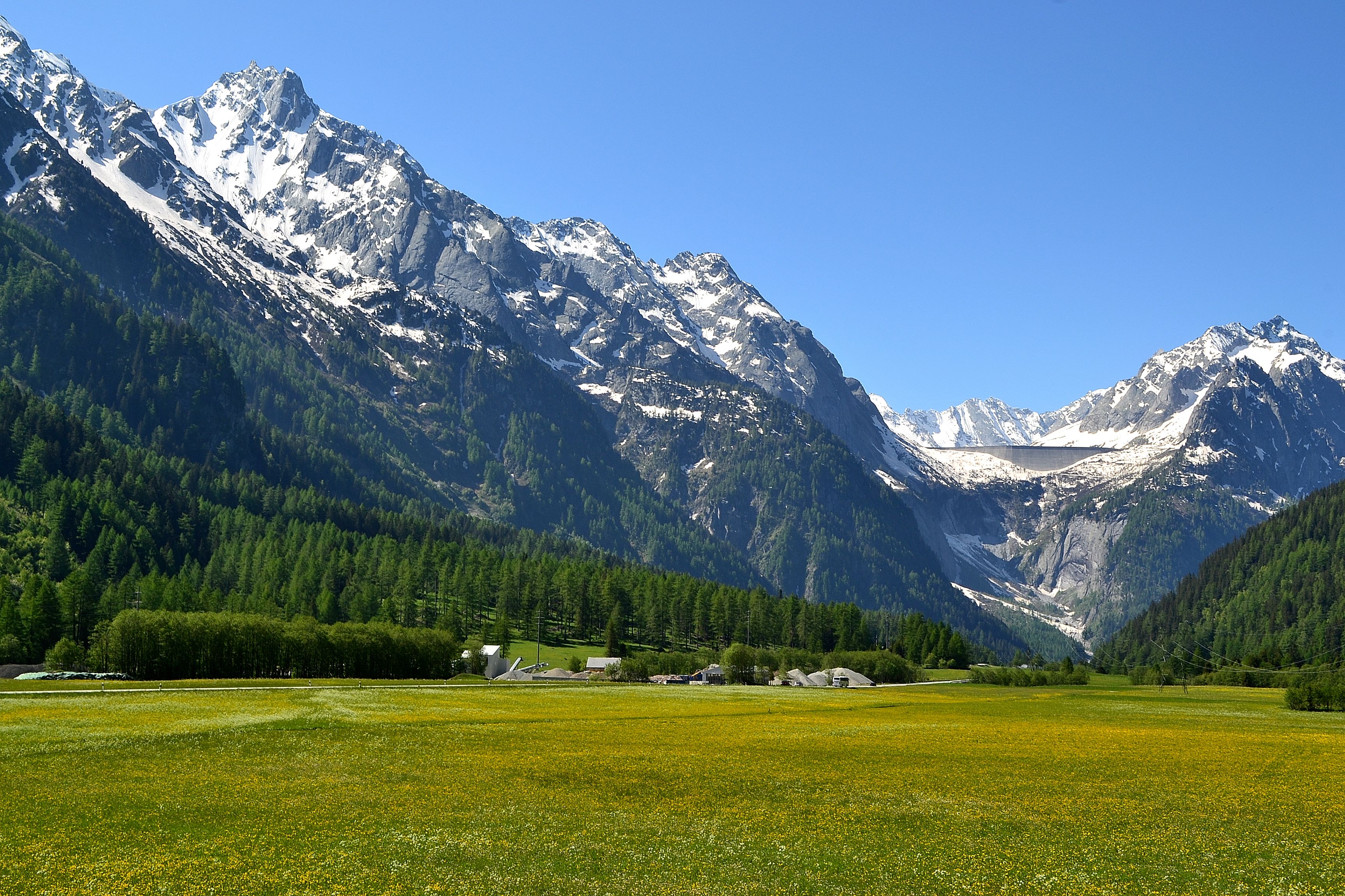
Beautiful lush southern alpine valley
Topographic Map of Oberhalbstein Alps, Avers, Switzerland
Find elevation by address:

Places near Oberhalbstein Alps, Avers, Switzerland:
Tscheischhorn
Usser Wissberg
Piz Platta
Mazzaspitz
Piz Alv
Avers
Juf
Piz Mez
Piz Forbesch
Piz Surparé
Piz Arblatsch
Sur Carungas
Piz Turba
Piz Martegnas
Piz Arlos
Mulegns
Scalotta
Fora Vea
Marmorera
Bivio
Recent Searches:
- Elevation of Corso Fratelli Cairoli, 35, Macerata MC, Italy
- Elevation of Tallevast Rd, Sarasota, FL, USA
- Elevation of 4th St E, Sonoma, CA, USA
- Elevation of Black Hollow Rd, Pennsdale, PA, USA
- Elevation of Oakland Ave, Williamsport, PA, USA
- Elevation of Pedrógão Grande, Portugal
- Elevation of Klee Dr, Martinsburg, WV, USA
- Elevation of Via Roma, Pieranica CR, Italy
- Elevation of Tavkvetili Mountain, Georgia
- Elevation of Hartfords Bluff Cir, Mt Pleasant, SC, USA