Elevation of Oakridge Ln, Saraland, AL, USA
Location: United States > Alabama > Mobile County > Saraland >
Longitude: -88.120482
Latitude: 30.8457244
Elevation: 50m / 164feet
Barometric Pressure: 101KPa
Elevation Map:
Satellite Map:
Related Photos:

Mobile Museum of Art HDR
View 1.jpg

evening sky

View 03.jpg

FB 022011 Bird Watching-01 HDR Aa
View 06.jpg
View 09.jpg
View 08.jpg
View 07.jpg
Left Side View
View 02.jpg
Right Side View
View 05.jpg
View 2.jpg

View 12.jpg
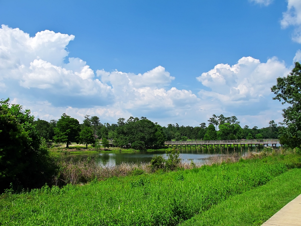
Lake View on a Cloudy Day

View 11.jpg
View 10.jpg

View 04.jpg

View 01.jpg
View 2.jpg
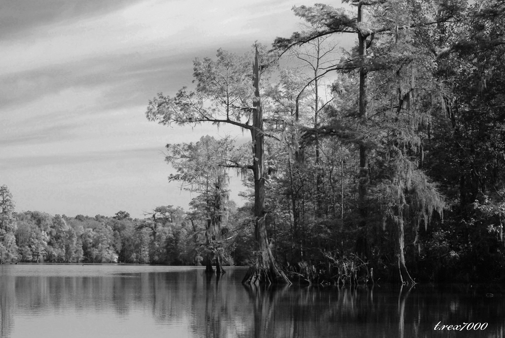
CYPRESS AND MOSS

under log
Splendid Dirt HDR
31/52 Sky over Creola-05a

36/52 It's a Book
municipal langan park
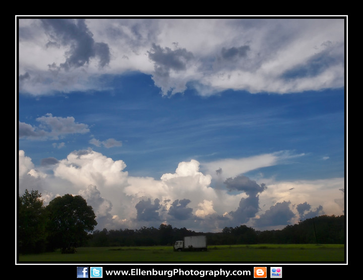
31/52 Sky over Creola-08a
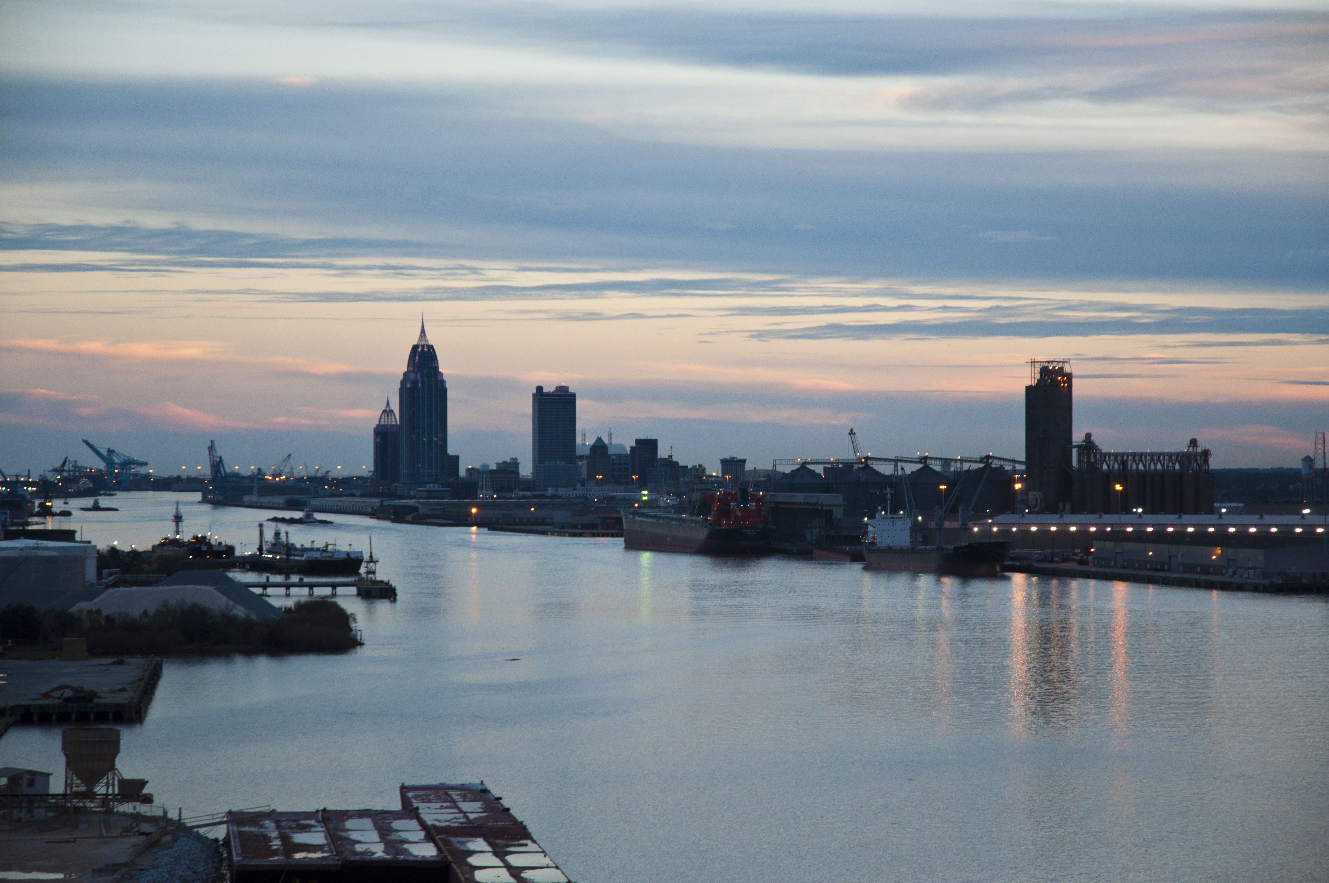
Mobile, Alabama
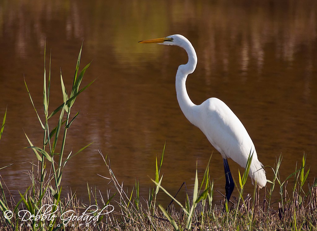
Great Egret

municipal park

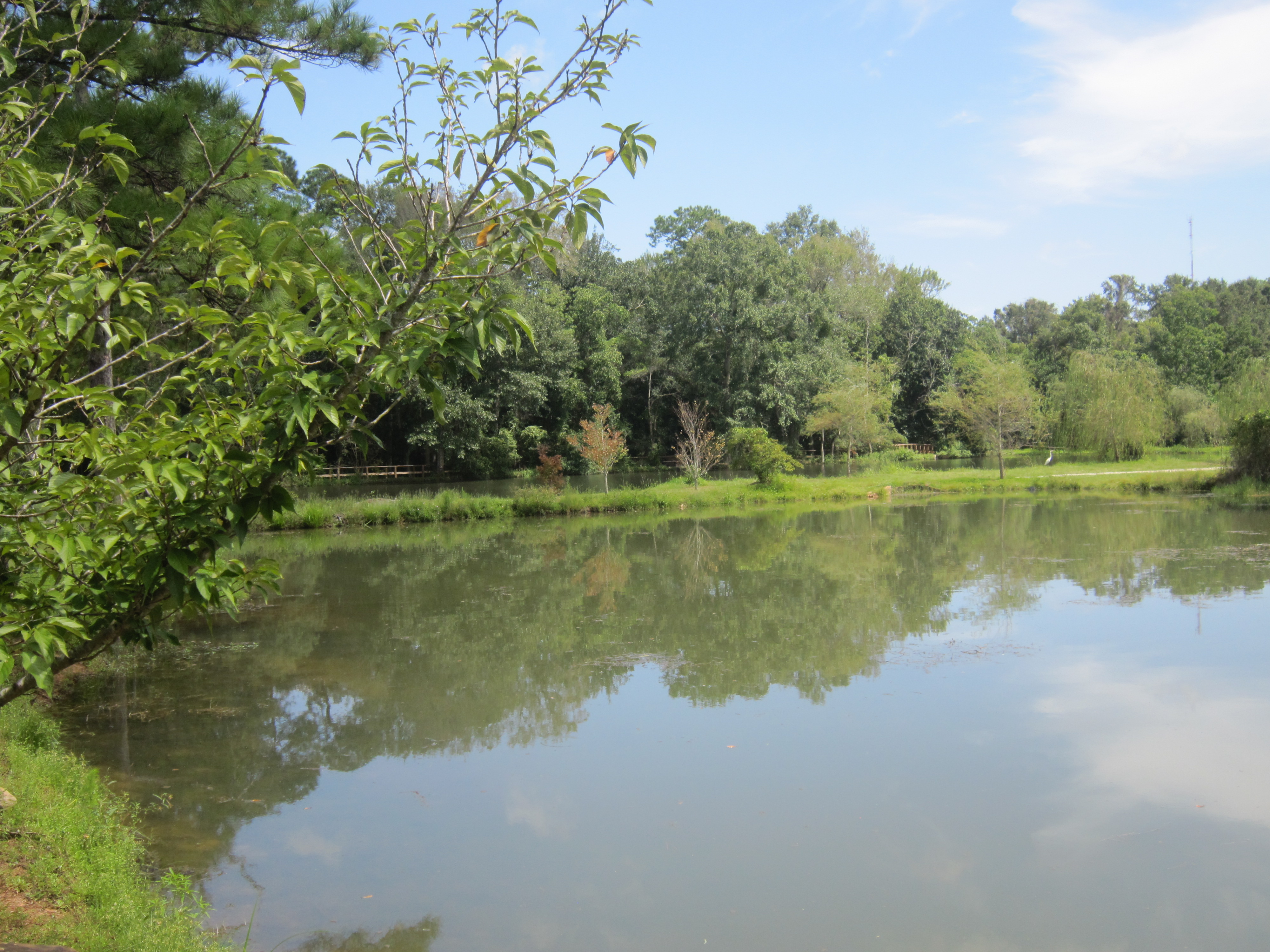
Sunset Lake 2
LANDSCAPE B/W

#CloudFormations #skyview #skyline #Mobile #Alabama
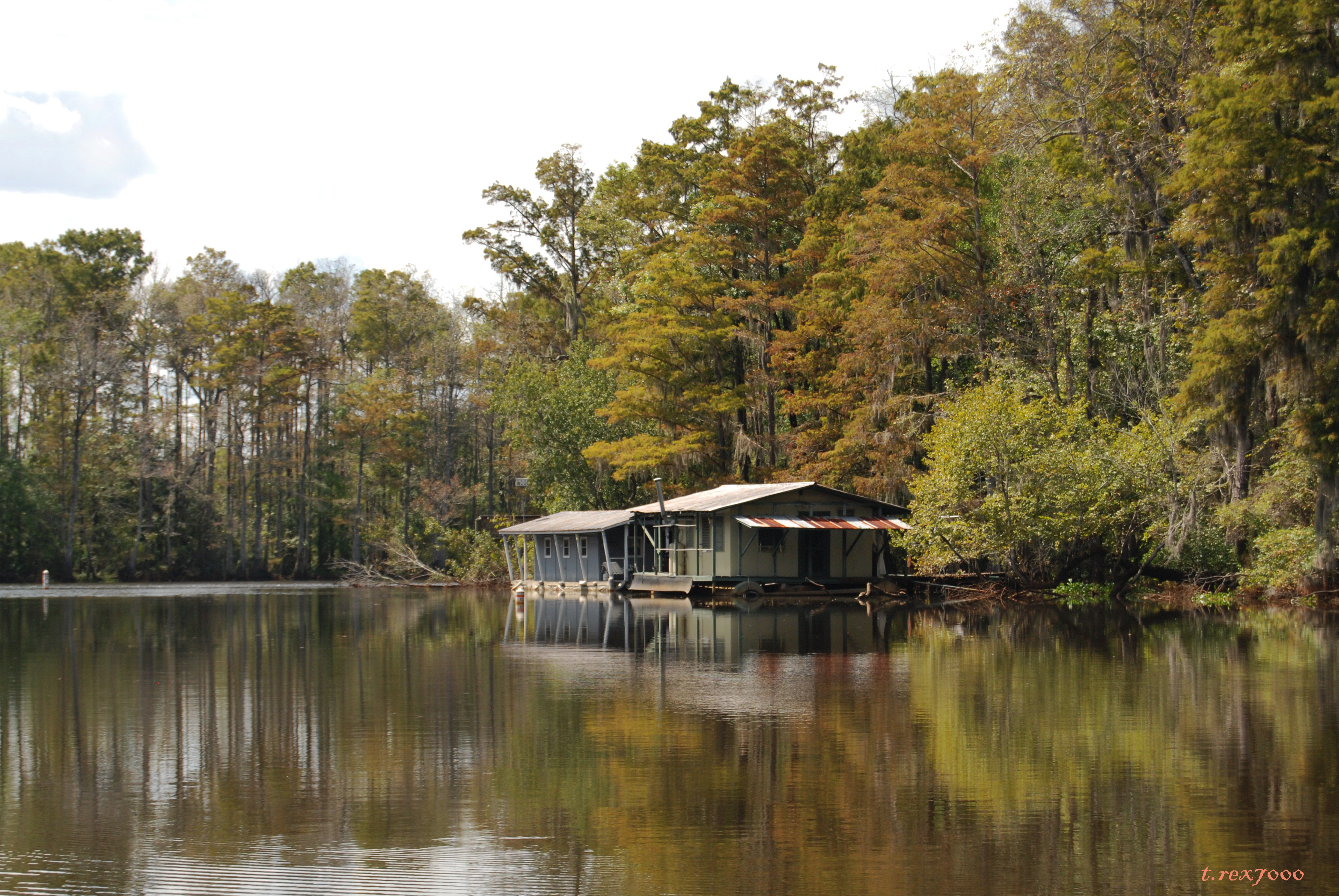
LANDSCAPE W/CABINS

Mobile Sunset
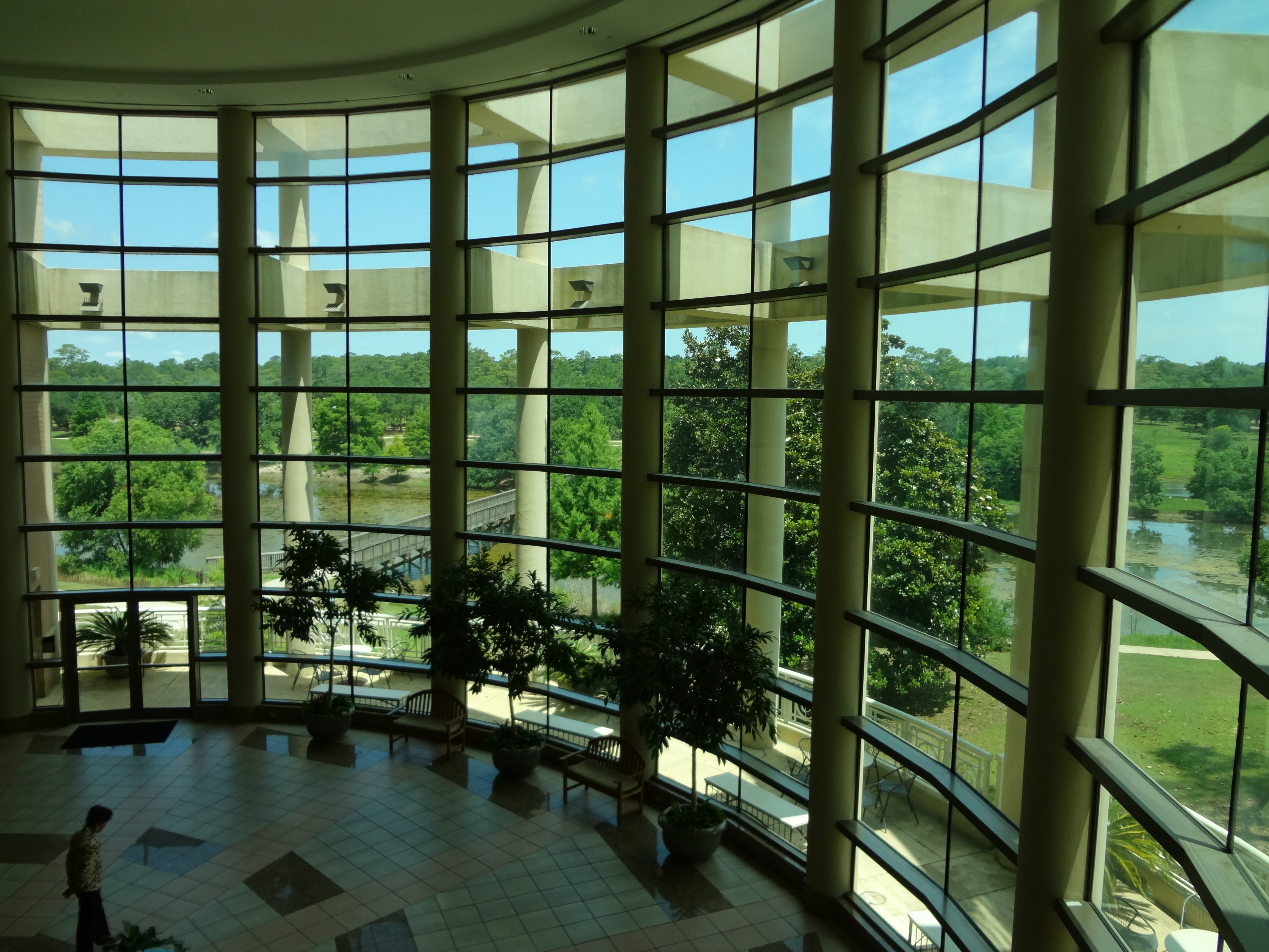
Mobile Museum of Art Vestibule
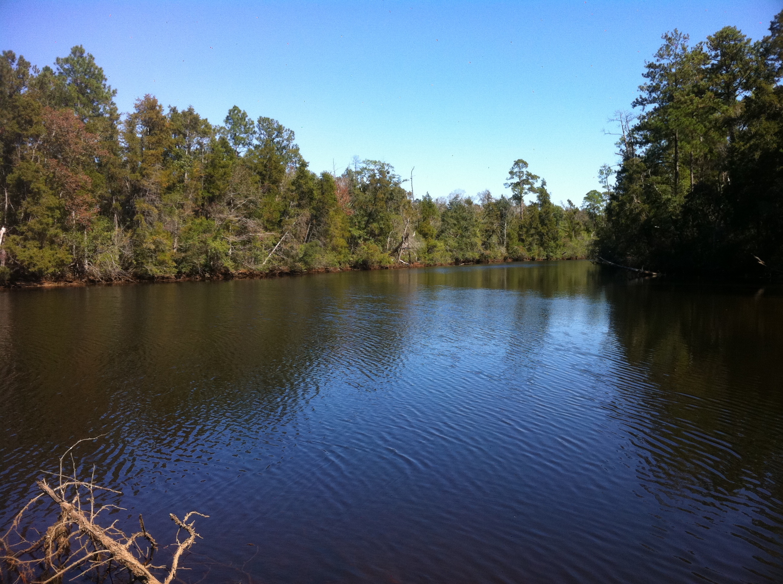
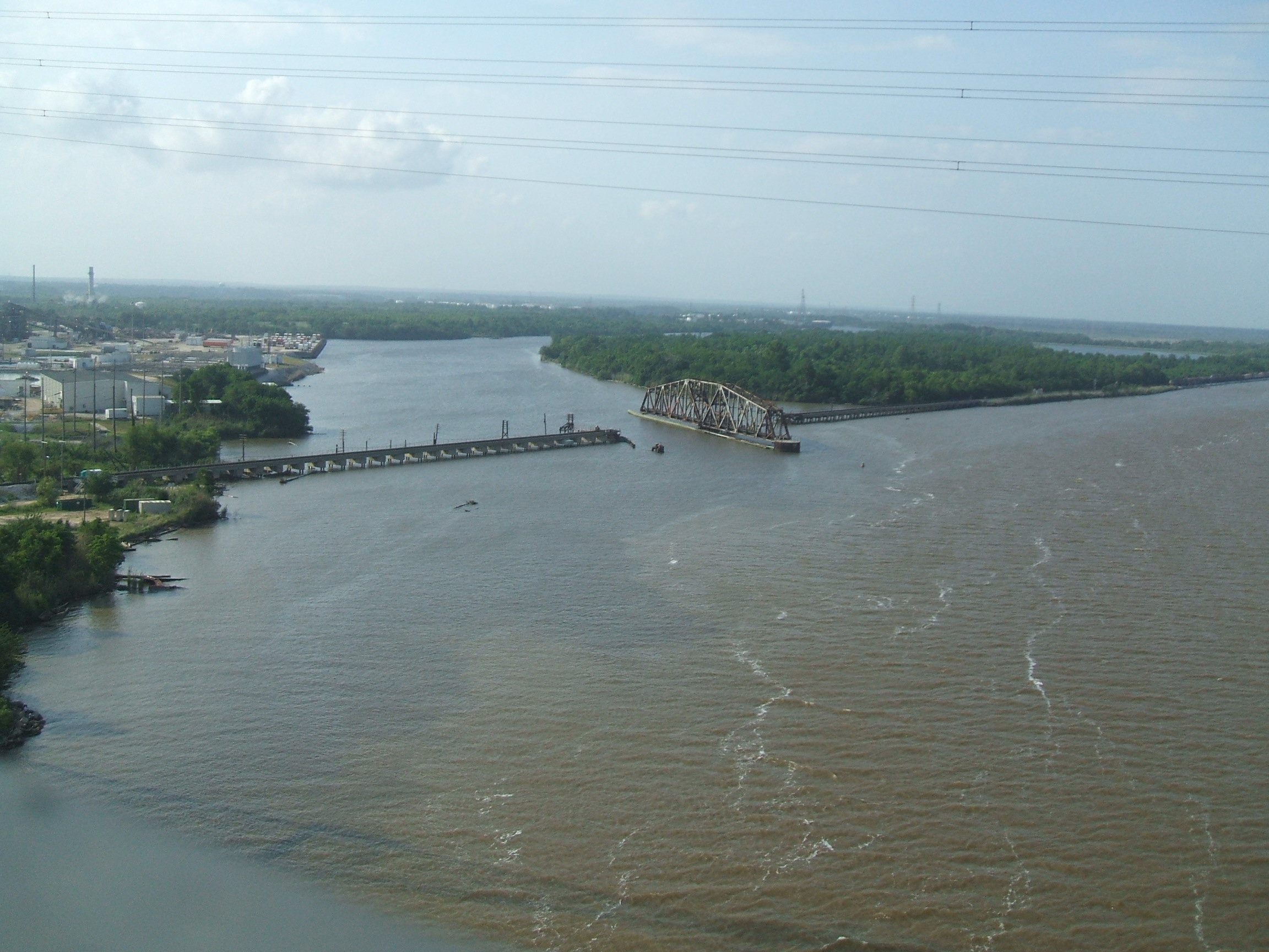
Chickasabogue River
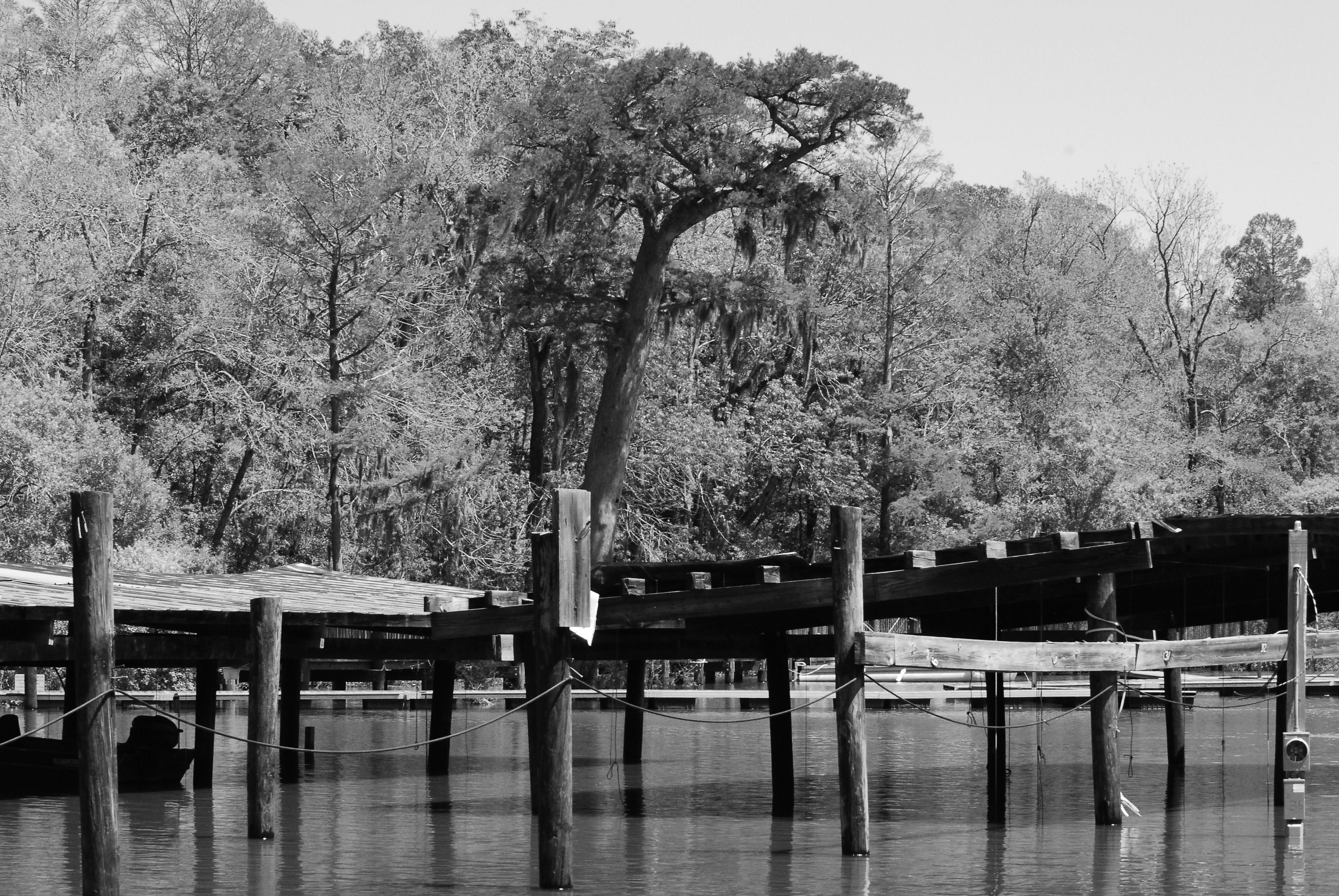
B/W MARINA

DSC_1971.jpg
Charles Wood Japanese Garden Pond
Crossing the Cochran-Africatown bridge in Mobile, AL
Topographic Map of Oakridge Ln, Saraland, AL, USA
Find elevation by address:

Places near Oakridge Ln, Saraland, AL, USA:
118 Ideal Dr
9468 Celeste Rd
2955 Towneship Blvd
Radcliff Rd, Saraland, AL, USA
45 Saraland Ave
419 Sara Oaks Dr
263 Woodland Ave
Saraland Elementary School
Saraland
226 Anderson Rd
Satsuma
5641 Dogwood Trail
177 Magnolia Ave
5420 Henry Rd
E Orange Ave, Satsuma, AL, USA
4560 Fillingim Rd
Eight Mile
5862 Twin Branch Dr E
5821 Vaughn Dr W
Henry Dr, Eight Mile, AL, USA
Recent Searches:
- Elevation of Corso Fratelli Cairoli, 35, Macerata MC, Italy
- Elevation of Tallevast Rd, Sarasota, FL, USA
- Elevation of 4th St E, Sonoma, CA, USA
- Elevation of Black Hollow Rd, Pennsdale, PA, USA
- Elevation of Oakland Ave, Williamsport, PA, USA
- Elevation of Pedrógão Grande, Portugal
- Elevation of Klee Dr, Martinsburg, WV, USA
- Elevation of Via Roma, Pieranica CR, Italy
- Elevation of Tavkvetili Mountain, Georgia
- Elevation of Hartfords Bluff Cir, Mt Pleasant, SC, USA