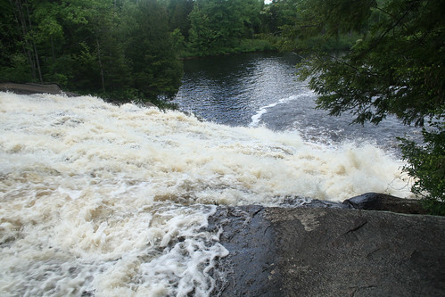
Latitude: 44.2608125
Longitude: -75.1763857
Elevation: 288 meters / 945 feet
Barometric Pressure 979KPa

Related Photos

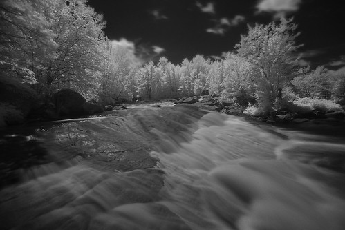
Lampsons Falls, Adirondacks NY by tyfihi, Infrared 

For more photos please visit.. 
<a href="http://www.tylersparks.com" rel="nofollow">www.t
Lampsons Falls, Adirondacks NY by tyfihi
Totality by Matt Champlin, A wide angle shot and a view as the sun returned!totality totaleclipse greatamericaneclipse life ast
Totality by Matt Champlin
Totality by Matt Champlin, A wide angle shot and a view as the sun returned!totality totaleclipse greatamericaneclipse life ast
Totality by Matt Champlin
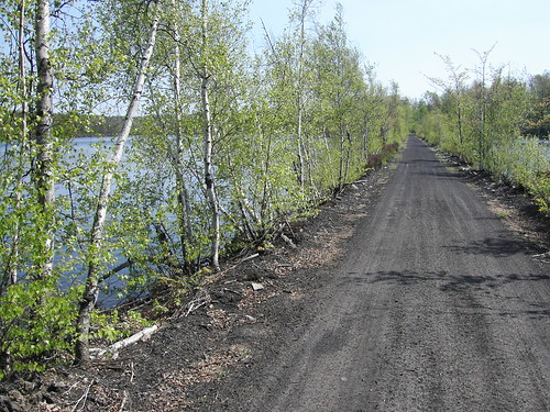
kif_4651 by Russ Nelson, This is a classic spring Adirondack shot, taken from alongside the Hanna Ore Company Railroad.
rail
kif_4651 by Russ Nelson
kif_4655 by Russ Nelson, A view facing south over the causeway.railroad railtrail hannaorecompanyrailroad
kif_4655 by Russ Nelson
34view-west-of-cut by Russ Nelson, I stumbled across this cut while looking for a place to pee, while we were out for a hike along the
34view-west-of-cut by Russ Nelson
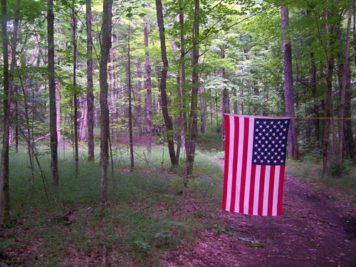
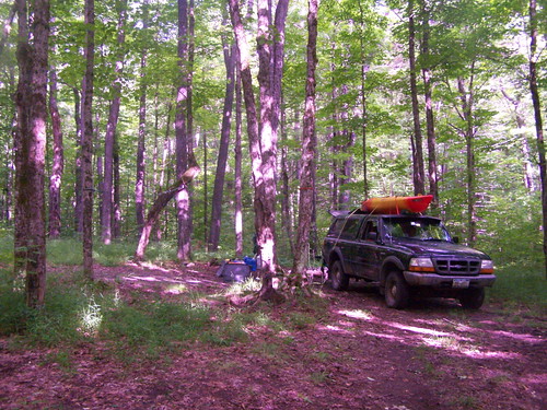
Driveway to Campsite. by andyarthur, It you look way back in the trees, the campsite is way back there. And I am a Proud American, not so
Driveway to Campsite. by andyarthur
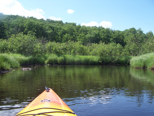
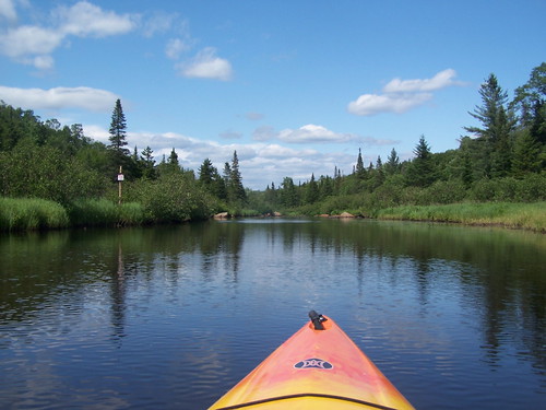
Paddling Along Mud River by andyarthur,  <a href="http://andyarthur.org/photos/streeter/paddlingal.html" rel="nofollow">andyarthur.org/photo
Paddling Along Mud River by andyarthur
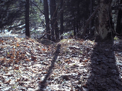
39side-view-of-ties by Russ Nelson, This hump / furrow / hump are a side view off Clifton Iron Mine ties.  The problem is determining wh
39side-view-of-ties by Russ Nelson
35another-balsam-corridor by Russ Nelson, The balsams form a line on both sides of the Clifton Iron Mine railroad.  Maybe the ties were cut fr
35another-balsam-corridor by Russ Nelson
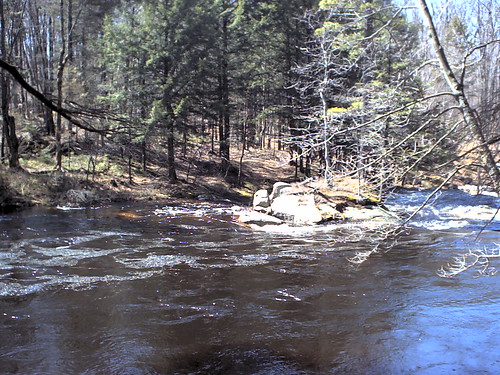
22across-waterfall by Russ Nelson, The Clifton Iron Mine crossed the Grasse River at this point just above a waterfall.railroad abandon
22across-waterfall by Russ Nelson
38south-side-of-east by Russ Nelson, The Clifton Iron Mine crossed the St. Regis River here.  During periods of low water you can see the
38south-side-of-east by Russ Nelson
kif_2172 by Russ Nelson, Behind me is one of two bridges used to cross the Grasse River.  For a railroad made with wooden rai
kif_2172 by Russ Nelson
kif_2181 by Russ Nelson, A very clear fill through here.cliftonironminerailroad
kif_2181 by Russ Nelson
Campsite 3 on Streeter Lake Road by andyarthur, The roadside campsites for the most part are pretty close to Streeter Lake Road, although this site
Campsite 3 on Streeter Lake Road by andyarthur
kif_2182 by Russ Nelson, One of the many waterfalls on the St. Regis River nearby this railroad.cliftonironminerailroad
kif_2182 by Russ Nelson
kif_2188 by Russ Nelson, cliftonironminerailroad
kif_2188 by Russ Nelson
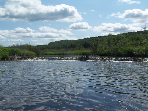
Big Beaver Dam by andyarthur, I decided not to portage around it, because the Mud River was, well, muddy. <a href="http://andyarth
Big Beaver Dam by andyarthur
Heading Towards Rapids on Mud River by andyarthur,  <a href="http://andyarthur.org/photos/streeter/headingtow.html" rel="nofollow">andyarthur.org/photo
Heading Towards Rapids on Mud River by andyarthur
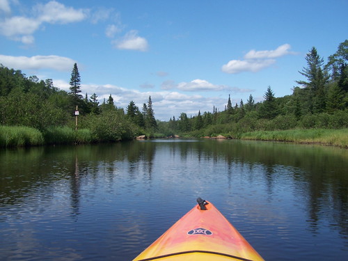
Heading Towards Rapids on Mud River by andyarthur,  <a href="http://andyarthur.org/photos/streeter/headingtow.html" rel="nofollow">andyarthur.org/photo
Heading Towards Rapids on Mud River by andyarthur
IMG_8217 by Ron Schott, geology gneiss metamorphicrocks
IMG_8217 by Ron Schott
Branch of Mud Creek by andyarthur,  <a href="http://andyarthur.org/photos/streeter/branchofmu.html" rel="nofollow">andyarthur.org/photo
Branch of Mud Creek by andyarthur
Greenwood State Park by DJ Fortune, I normally convert waterfall photos into B&W but I really liked the color in this.rebelxti
Greenwood State Park by DJ Fortune
IMG_8238 by Ron Schott, geology gneiss metamorphicrocks
IMG_8238 by Ron Schott
IMG_8250 by Ron Schott, geology gneiss metamorphicrocks
IMG_8250 by Ron Schott
IMG_8239 by Ron Schott, geology gneiss metamorphicrocks
IMG_8239 by Ron Schott
Perserverance by DJ Fortune, canondigitalrebelxt
Perserverance by DJ Fortune
Untitled by andyarthur,  <a href="http://andyarthur.org/photos/streeter/untitled.html" rel="nofollow">andyarthur.org/photos/
Untitled by andyarthur
On Top of Twin Falls by DJ Fortune, canondigitalrebelxt tooleypondroad
On Top of Twin Falls by DJ Fortune
A Yellow Kind Of A Day by DJ Fortune, A different view of an Ox-Eye Sunflower.flowers oxeye fujifinepixs5100 4macro oxeyesunflower
A Yellow Kind Of A Day by DJ Fortune
IMG_8189 by Ron Schott, flowers marble geology metamorphicrocks
IMG_8189 by Ron Schott
Causeway Across Mud Creek Branch by andyarthur,  <a href="http://andyarthur.org/photos/streeter/causewayac.html" rel="nofollow">andyarthur.org/photo
Causeway Across Mud Creek Branch by andyarthur
Greenwood State Park by DJ Fortune, I normally convert waterfall photos into B&W but I really liked the color in this.rebelxti
Greenwood State Park by DJ Fortune
DSC_2017 by weil101, Sucker Lake, Oswegatchie, NY
DSC_2017 by weil101
Light & Shadows by DJ Fortune, I couldn't help converting this to b&w. bw grayscale rebelxti onlythebestare
Light & Shadows by DJ Fortune
Green by DJ Fortune, A view of the woods as we walked out from Rainbow Falls.canondigitalrebelxt
Green by DJ Fortune
Random Acts Of (Nature) Photography by DJ Fortune, rebelxt onlythebestare
Random Acts Of (Nature) Photography by DJ Fortune
Why They Call It "Rainbow Falls" by DJ Fortune, I wondered if this photo would actually turn out but, sure enough, you really can see the rainbow. :
Why They Call It "Rainbow Falls" by DJ Fortune
An Autumn-like Spring Day by DJ Fortune, I miss leaves... you know, <b>on</b> the trees.rebelxti onlythebestare
An Autumn-like Spring Day by DJ Fortune
IMG_0562 by TheJimNicholson,
IMG_0562 by TheJimNicholson
IMG_0559 by TheJimNicholson,
IMG_0559 by TheJimNicholson