Elevation of NY-29, Salisbury Center, NY, USA
Location: United States > New York > Herkimer County > Salisbury >
Longitude: -74.787198
Latitude: 43.142272
Elevation: 330m / 1083feet
Barometric Pressure: 97KPa
Elevation Map:
Satellite Map:
Related Photos:
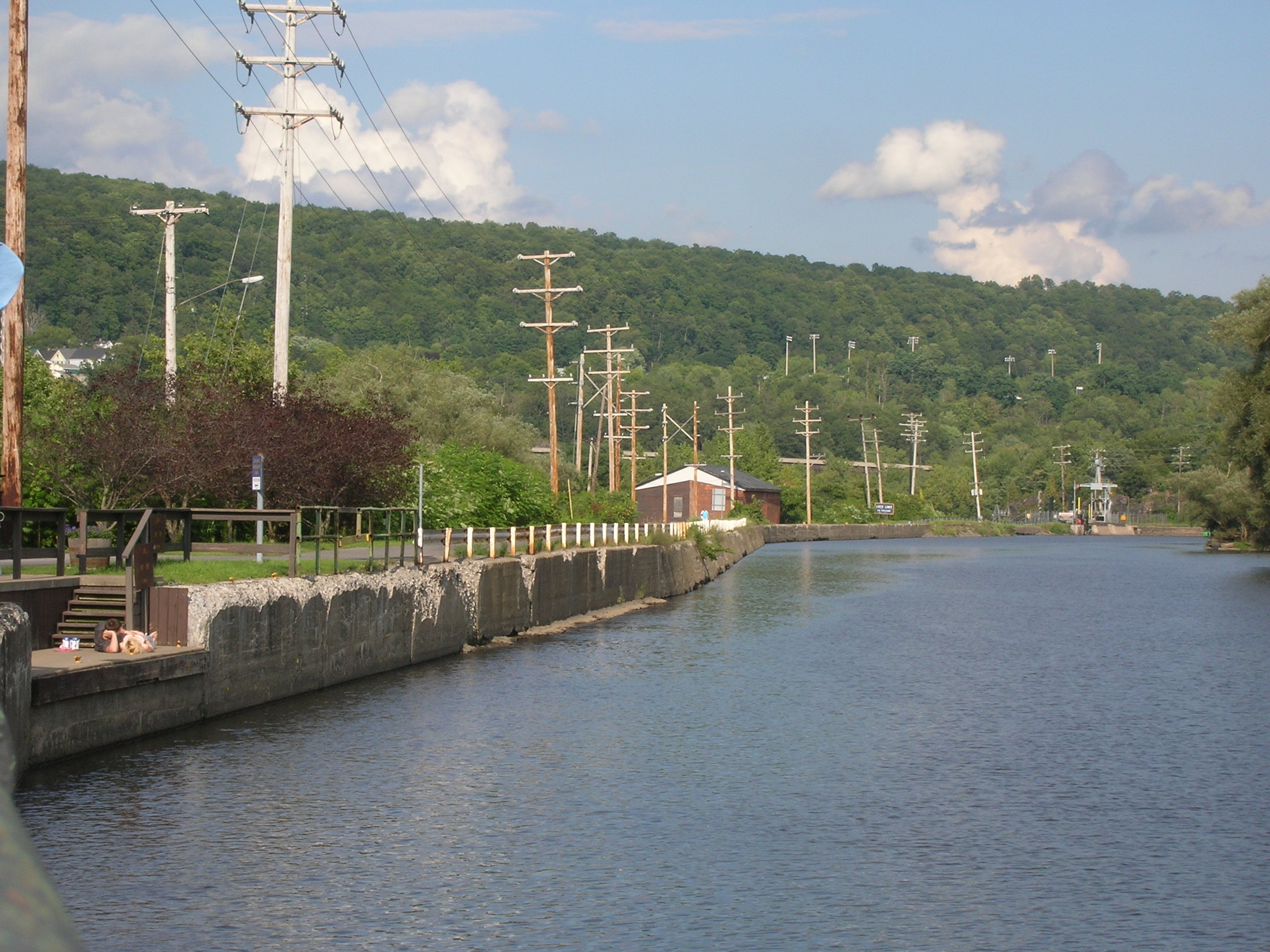
Lock 38 - Little Falls
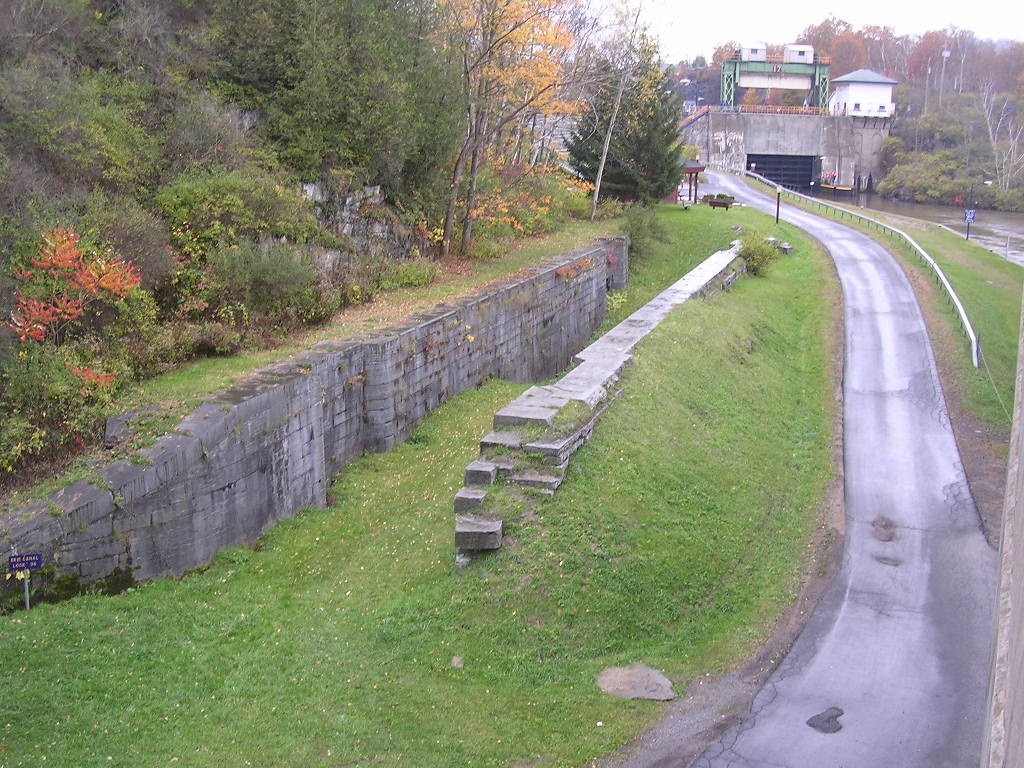
Old Erie Canal Lock 36 - Little Falls
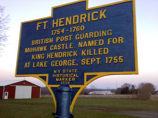
Repainted Fort Hendrick Marker

Closing Herkimer Home View
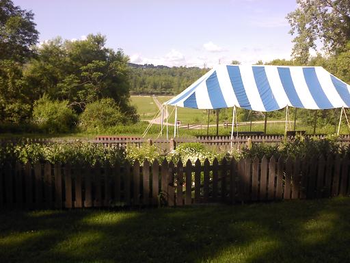
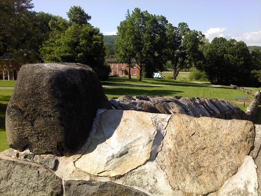
Garden and Vista
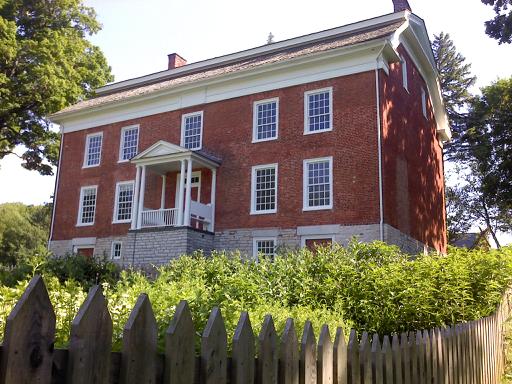
Herkimer Home Back
Homestead View

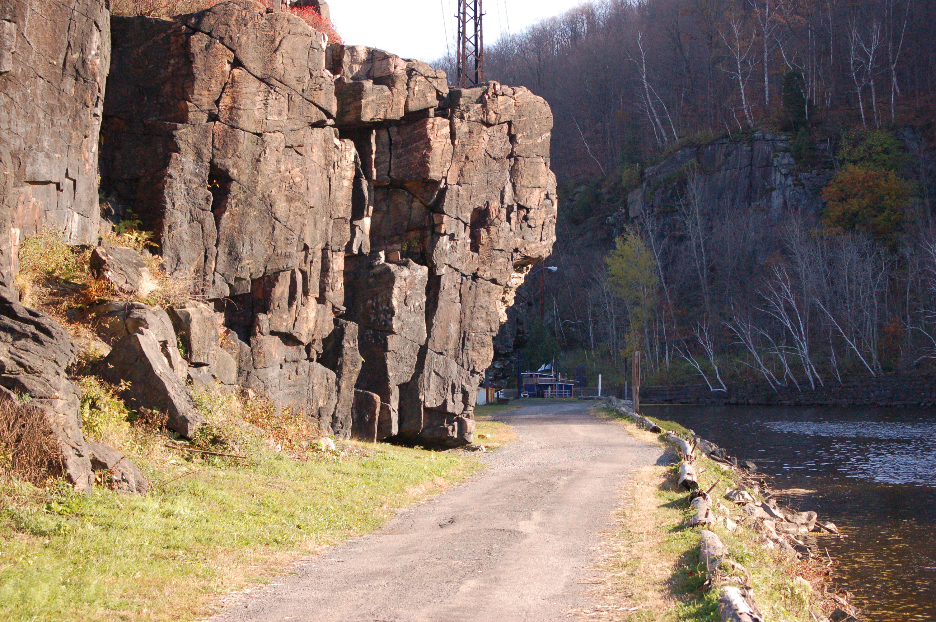
Moss Island
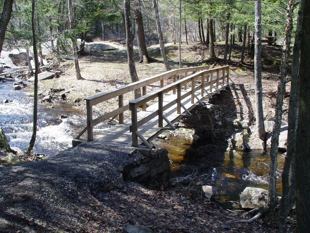
Footbridge in off season.

Tables 008
The view from my cubicle...
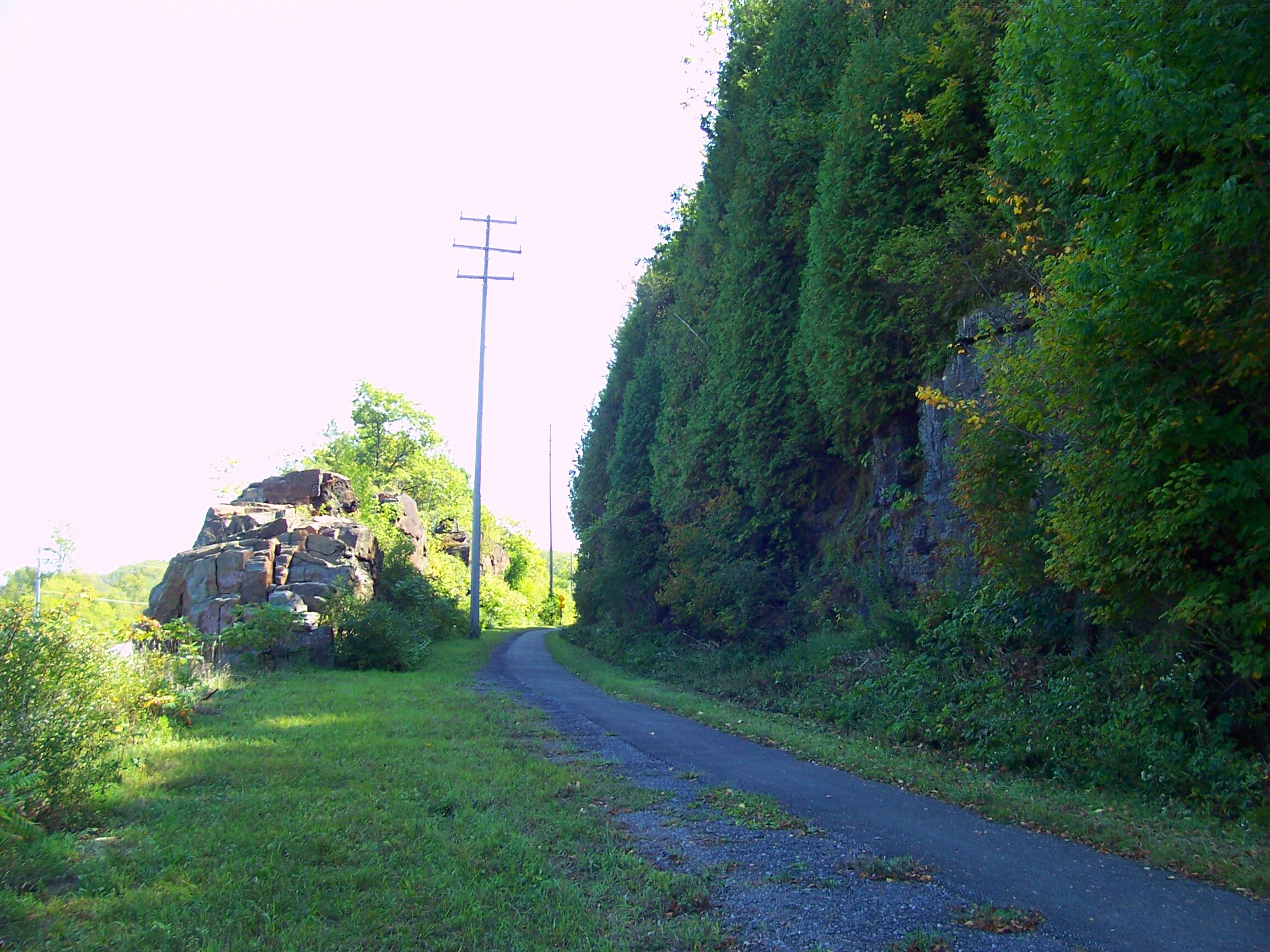
West Shore RR, Lovers Leap, Little Falls, NY
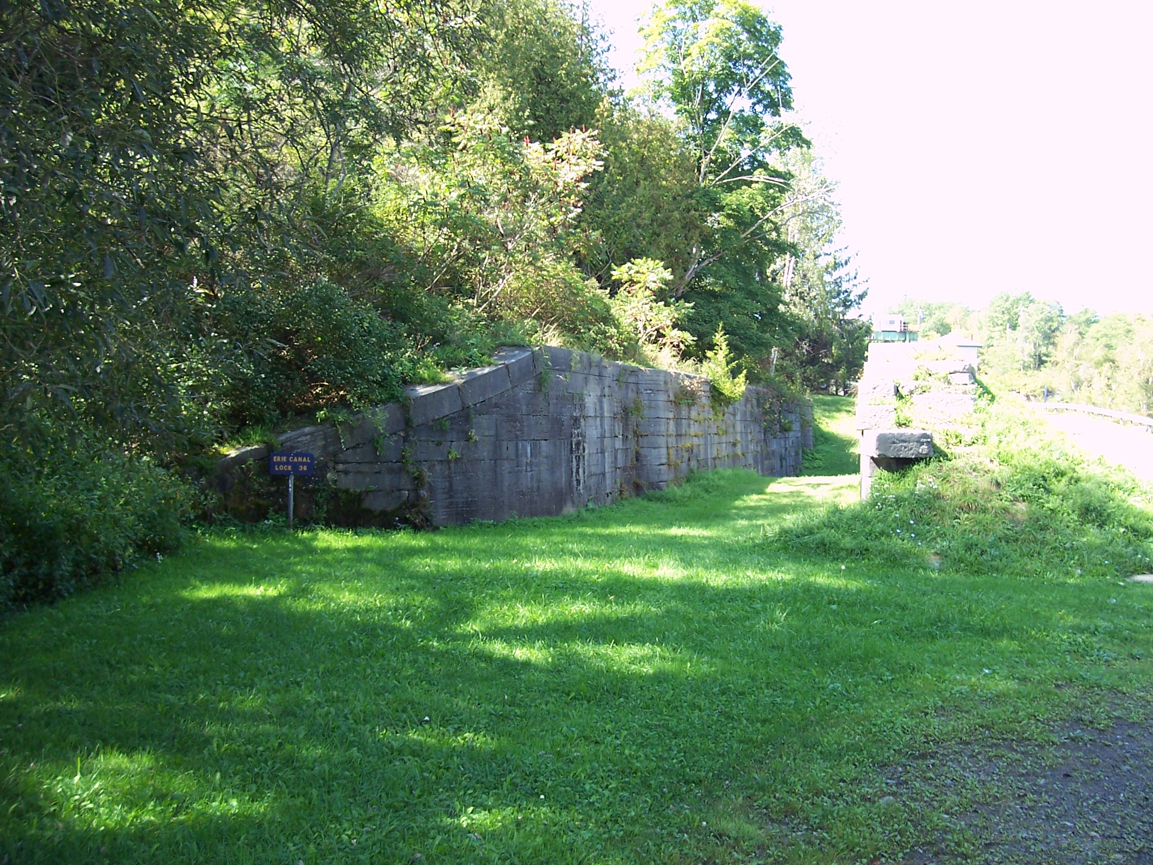
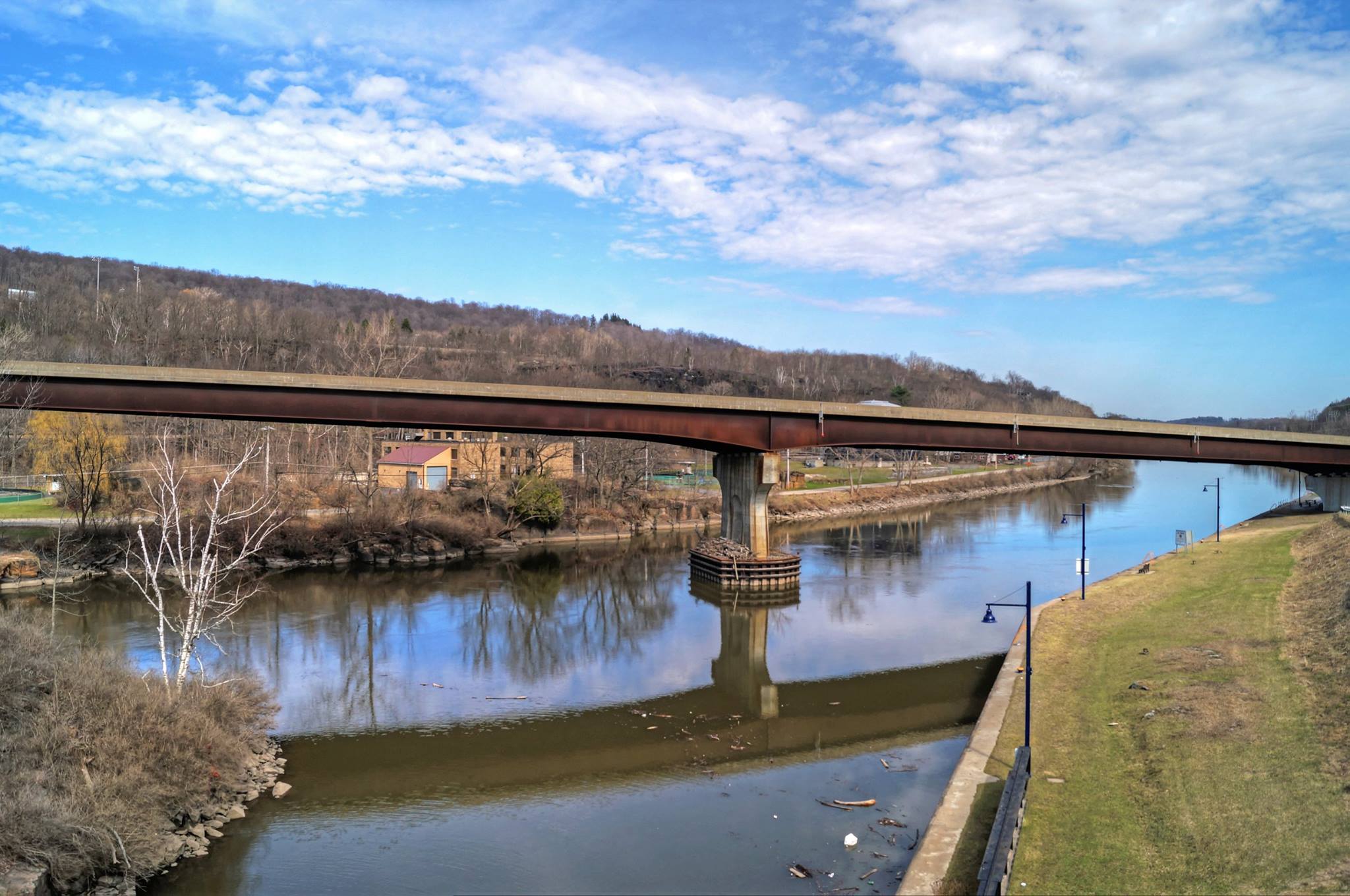
Old Erie Canal lock No. 36/Barge Canal Lock No. 17 & West Shore Railroad
West Shore Railroad Bridge, Indian Castle, NY

A View Along The Mohawk

Gulf Curve Train Wreck, Memorial Plaque, Little Falls, NY
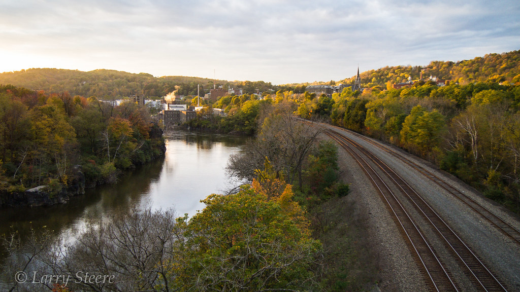
West Shore ROW, Little Falls, NY
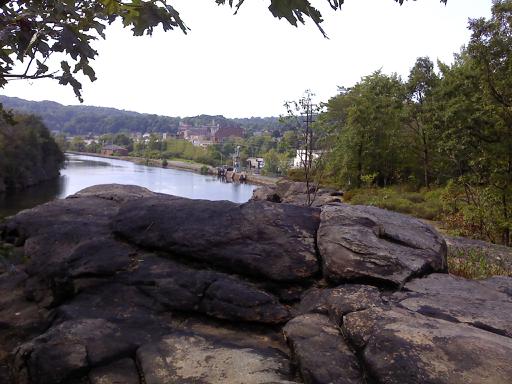
Mohawk River View
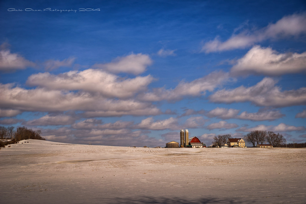
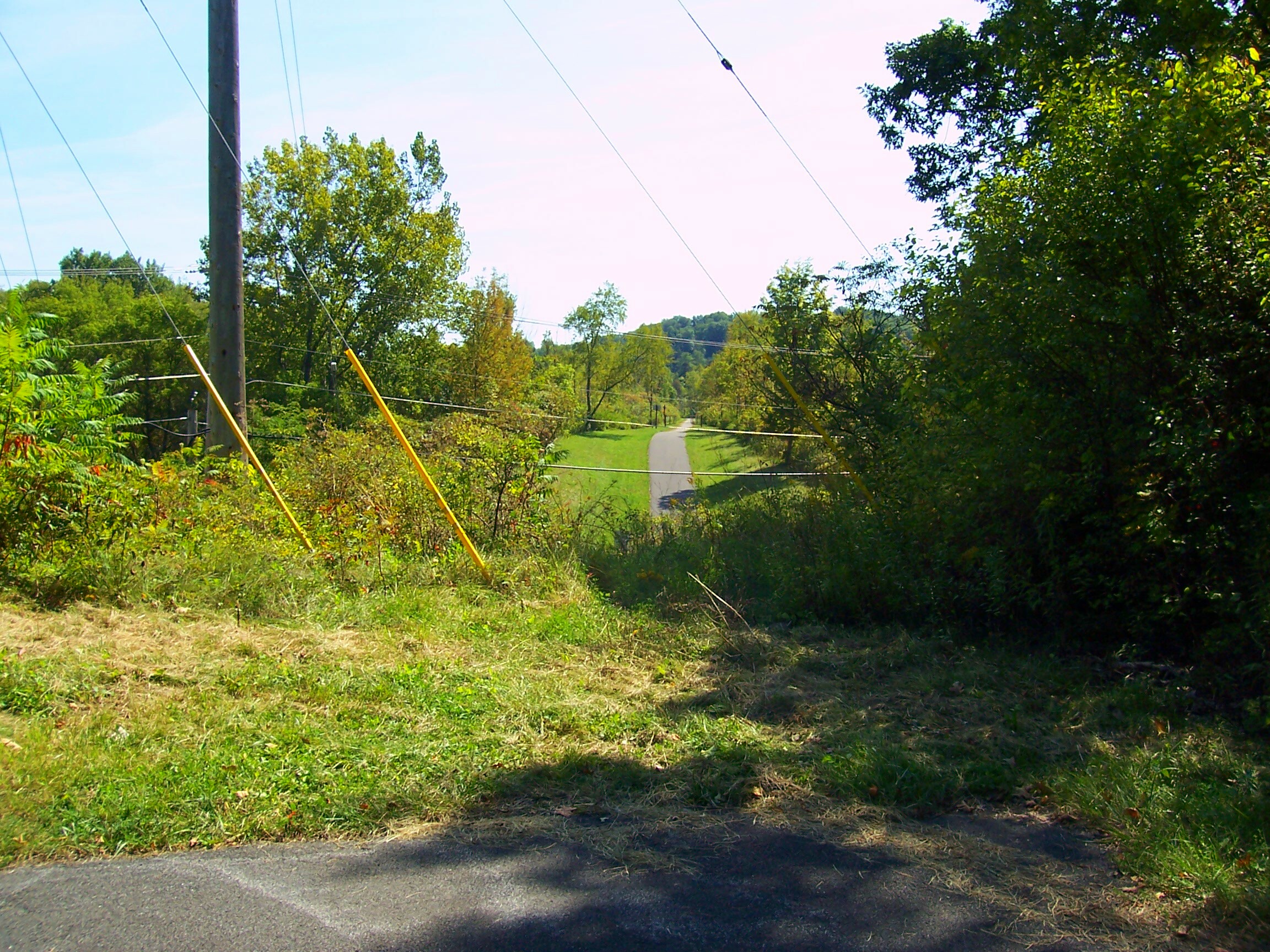
This is Farm Country
A Country Landscape
A Scene On The Erie
The Mohawk and The Erie Merge

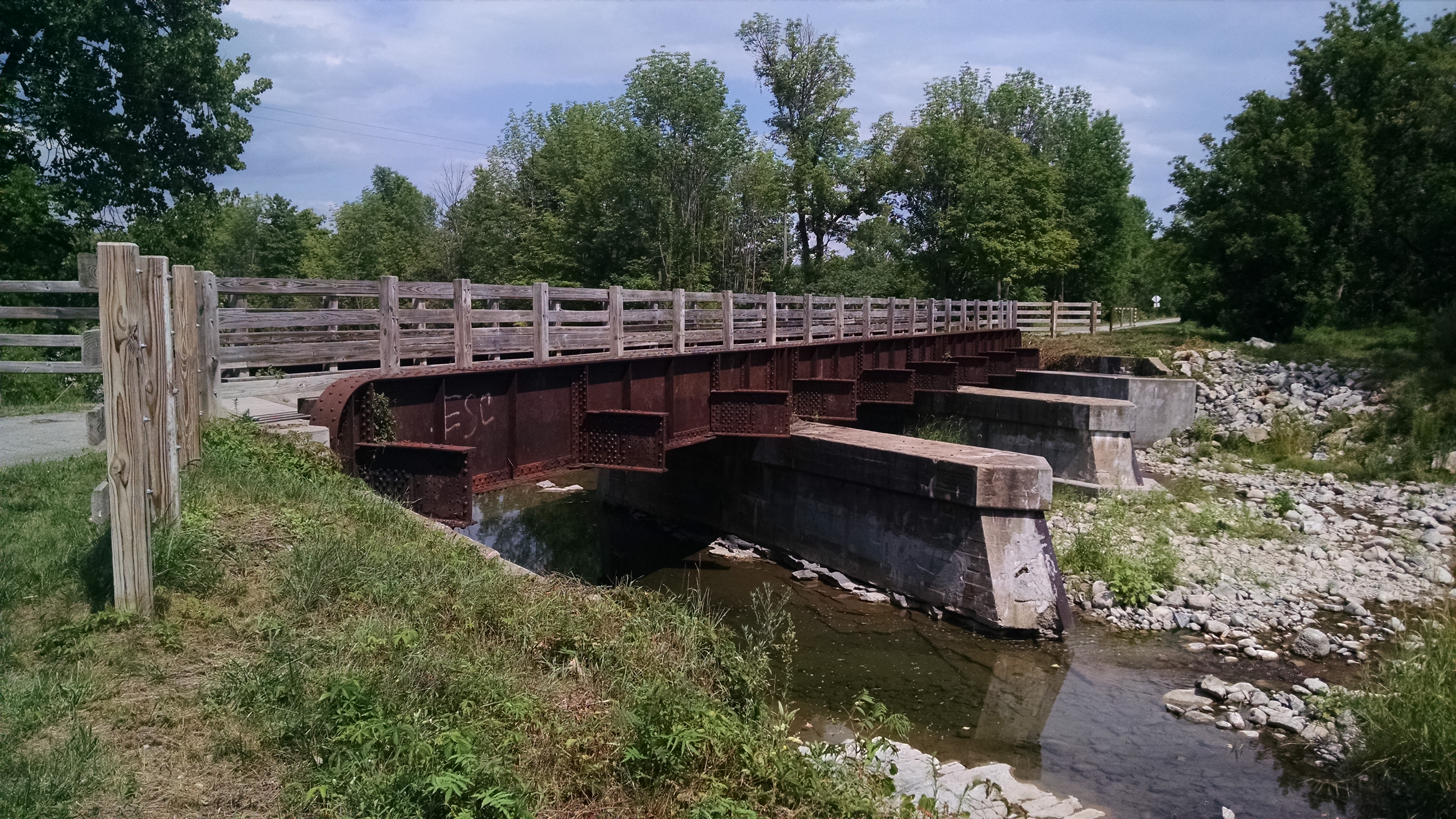
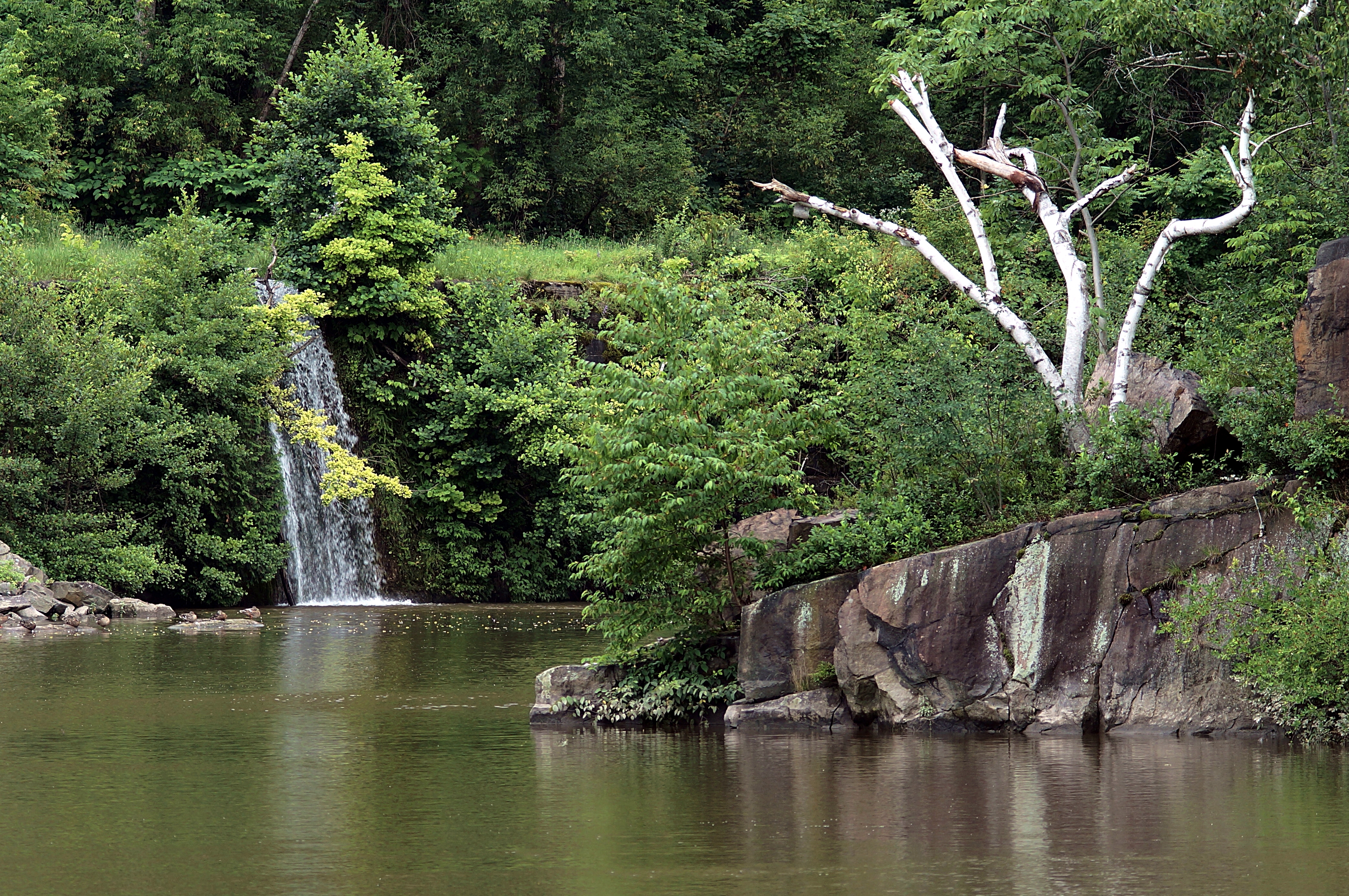
Bridge Over Spruce Creek
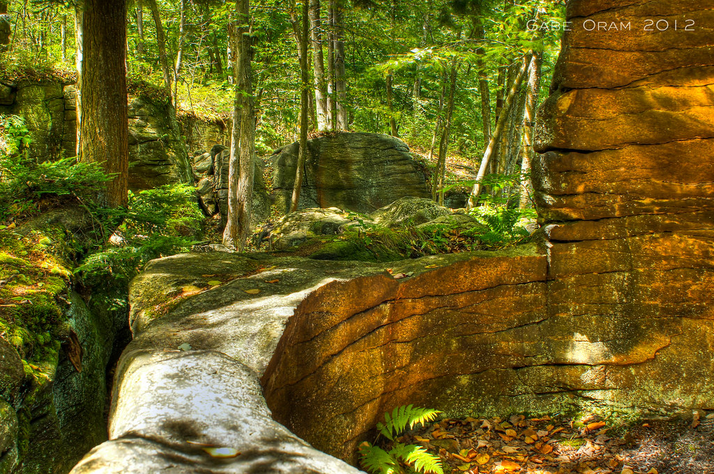
Moss Island Beauty
PA172128.jpg

Lock 17 NYS Barge Canal
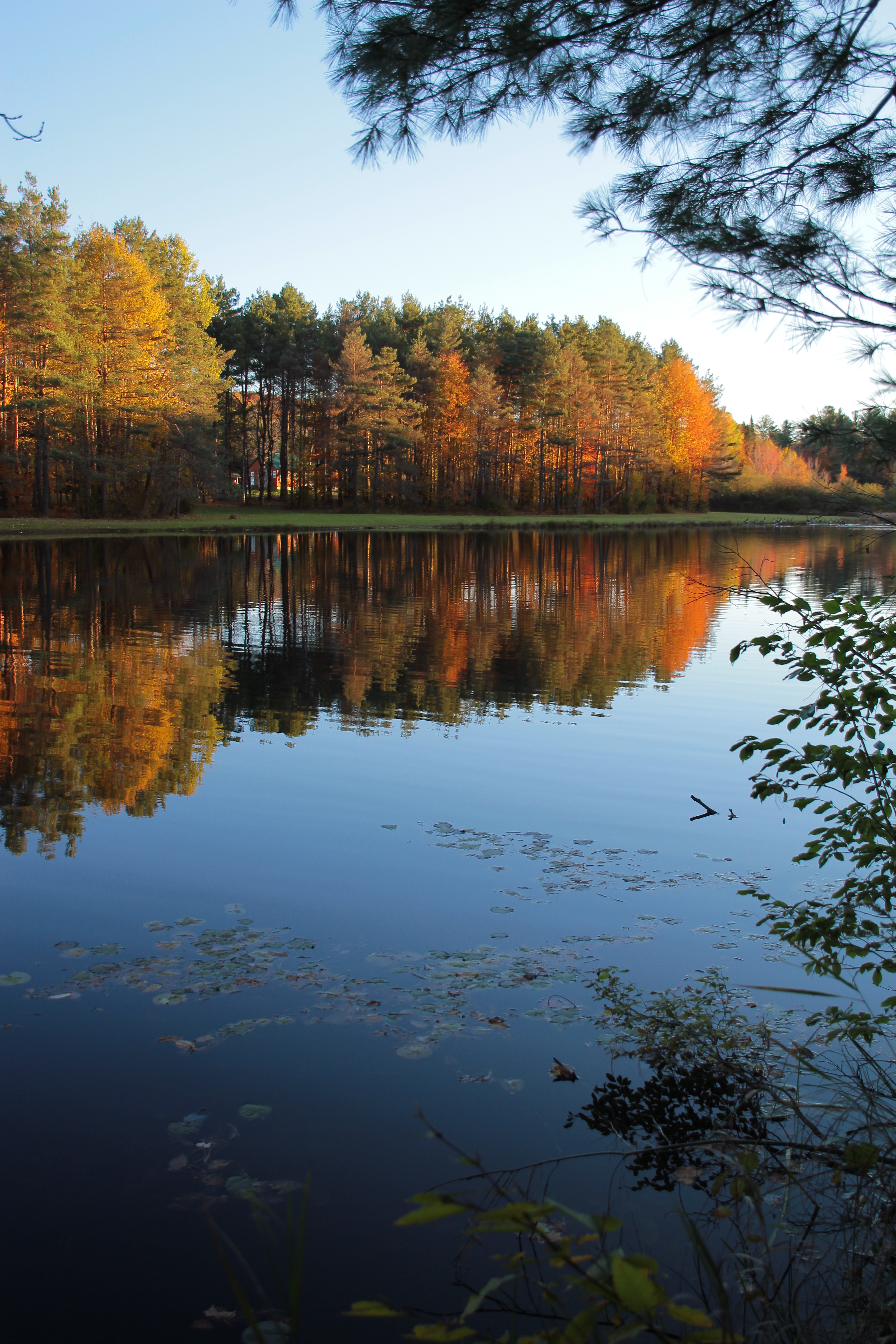
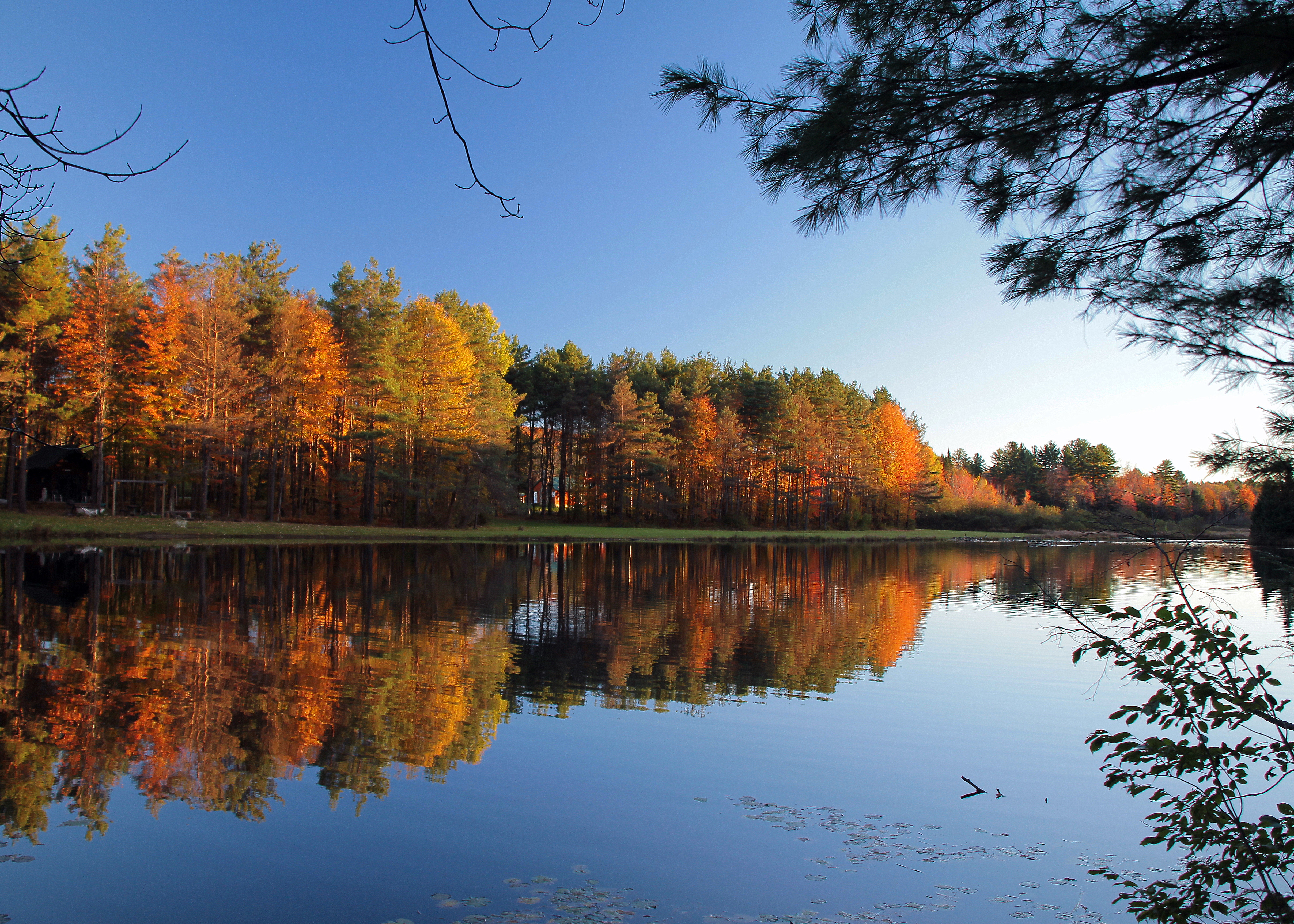
Fall Reflections
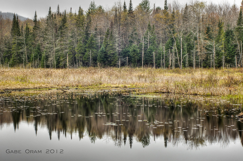
Aspen Pond Fall Afternoon
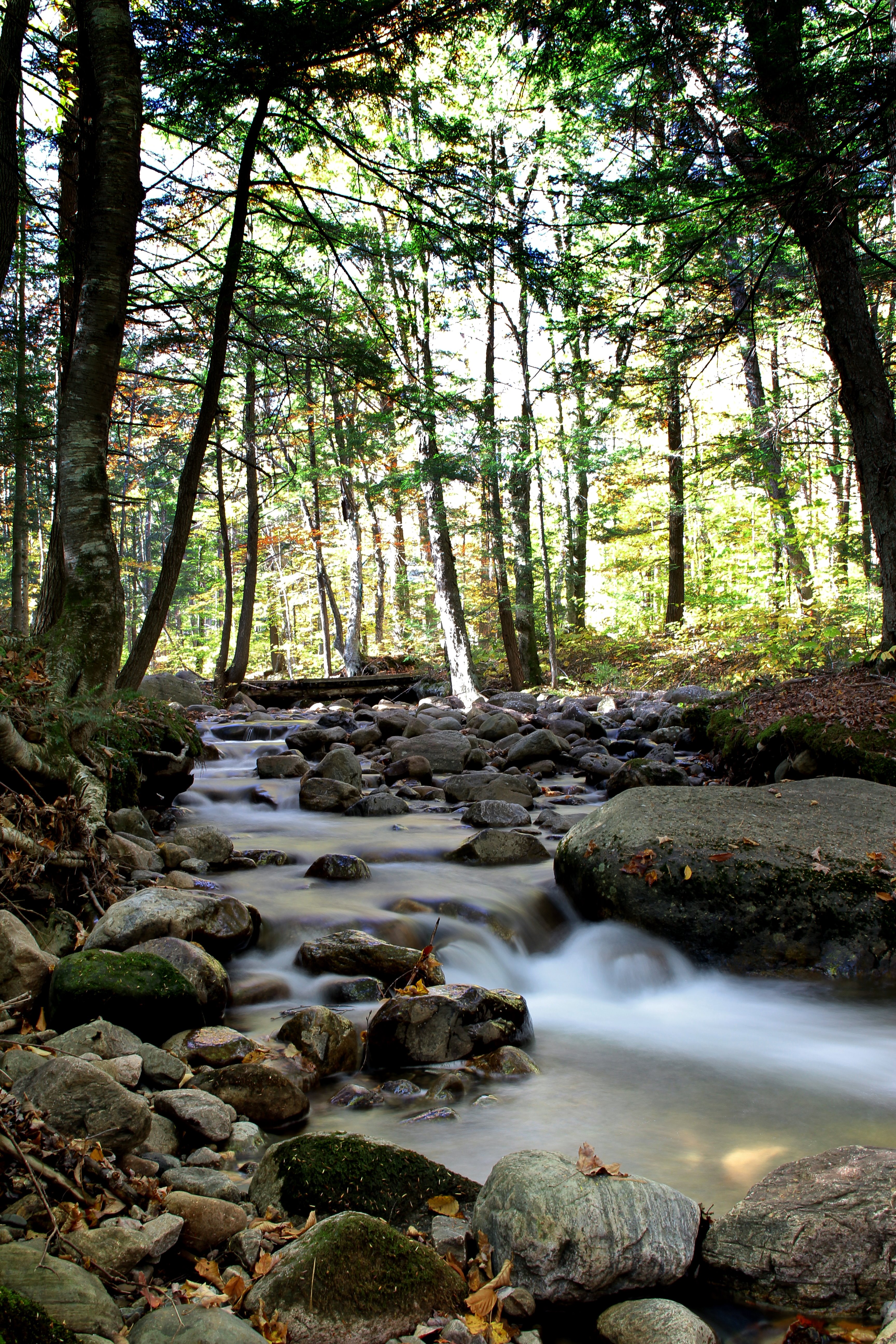
Fall Flow
PA182282.jpg

Q114 at Little Falls, NY
mirror mirror
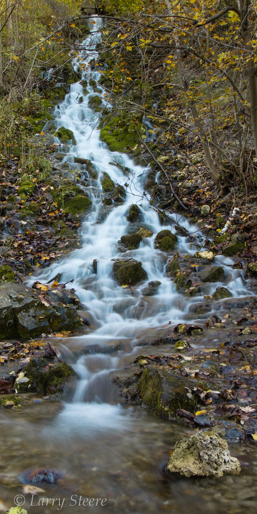
Trees at Faville Falls
PA182284.jpg
Silent Woods
Adirondack Trail
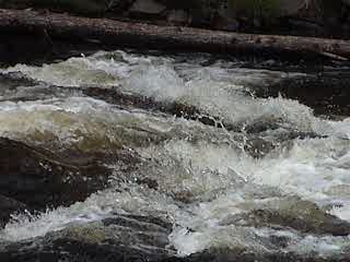
Spruce Creek, in action
DSC 2303
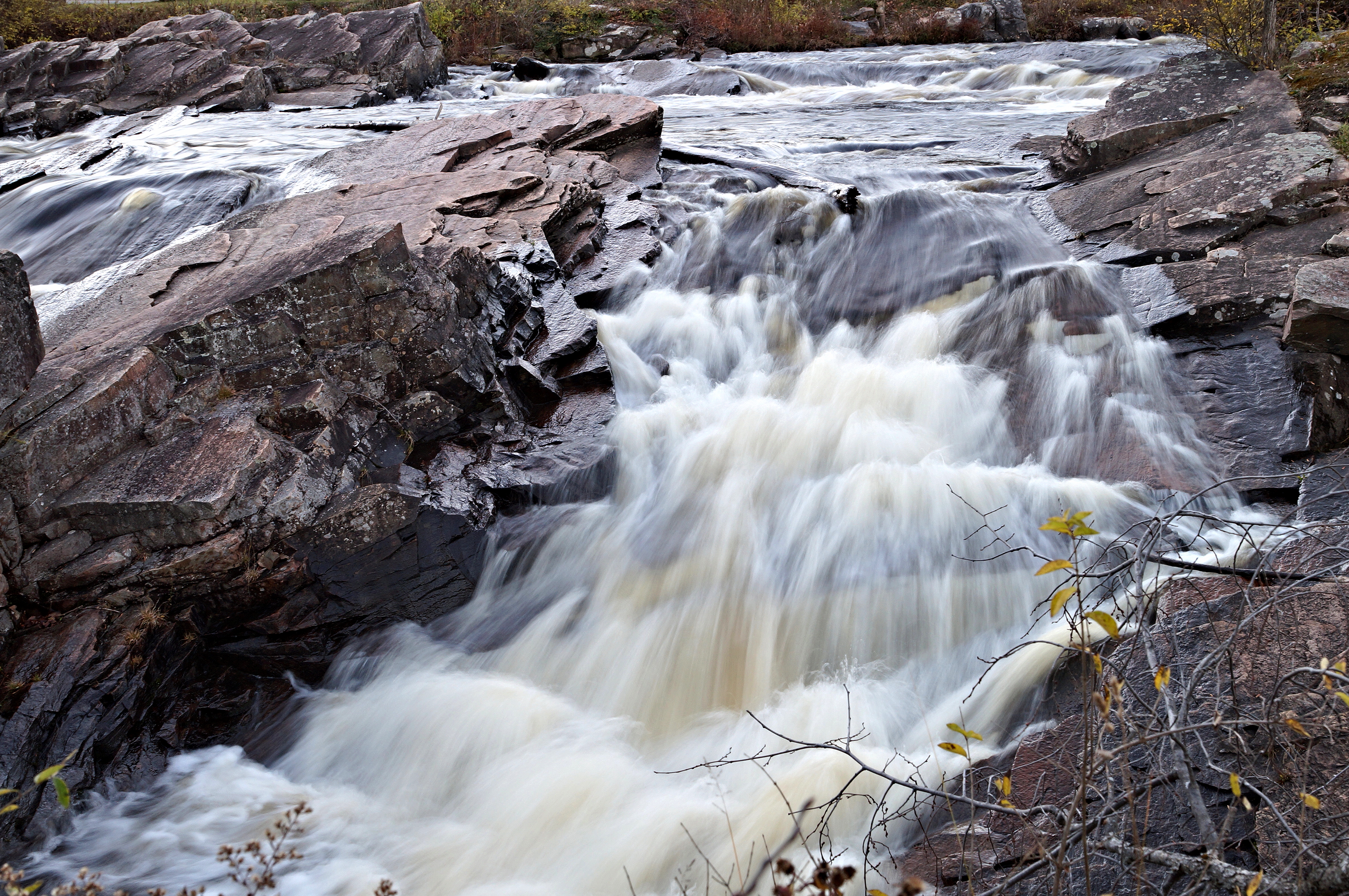
Spruce Creek Rapids
Topographic Map of NY-29, Salisbury Center, NY, USA
Find elevation by address:

Places near NY-29, Salisbury Center, NY, USA:
Salisbury Center
Salisbury Historical Society
348 Shedd Rd
637 Military Rd
1042 Thompson Rd
383 Peck Rd
22 Horn St
Salisbury
Military Rd, Little Falls, NY, USA
Curtiss Rd, Little Falls, NY, USA
23 Slawson St
Dolgeville
229 Ives Rd
14 Howard St
Van Buren Street
554 Brockett Rd
Sweet Hill Rd, Dolgeville, NY, USA
193 Miner Rd
6089 Ny-167
Salisbury
Recent Searches:
- Elevation of Corso Fratelli Cairoli, 35, Macerata MC, Italy
- Elevation of Tallevast Rd, Sarasota, FL, USA
- Elevation of 4th St E, Sonoma, CA, USA
- Elevation of Black Hollow Rd, Pennsdale, PA, USA
- Elevation of Oakland Ave, Williamsport, PA, USA
- Elevation of Pedrógão Grande, Portugal
- Elevation of Klee Dr, Martinsburg, WV, USA
- Elevation of Via Roma, Pieranica CR, Italy
- Elevation of Tavkvetili Mountain, Georgia
- Elevation of Hartfords Bluff Cir, Mt Pleasant, SC, USA