Elevation of NY-22, Stephentown, NY, USA
Location: United States > New York > Rensselaer County > Stephentown > Stephentown >
Longitude: -73.369123
Latitude: 42.5982714
Elevation: 346m / 1135feet
Barometric Pressure: 97KPa
Elevation Map:
Satellite Map:
Related Photos:
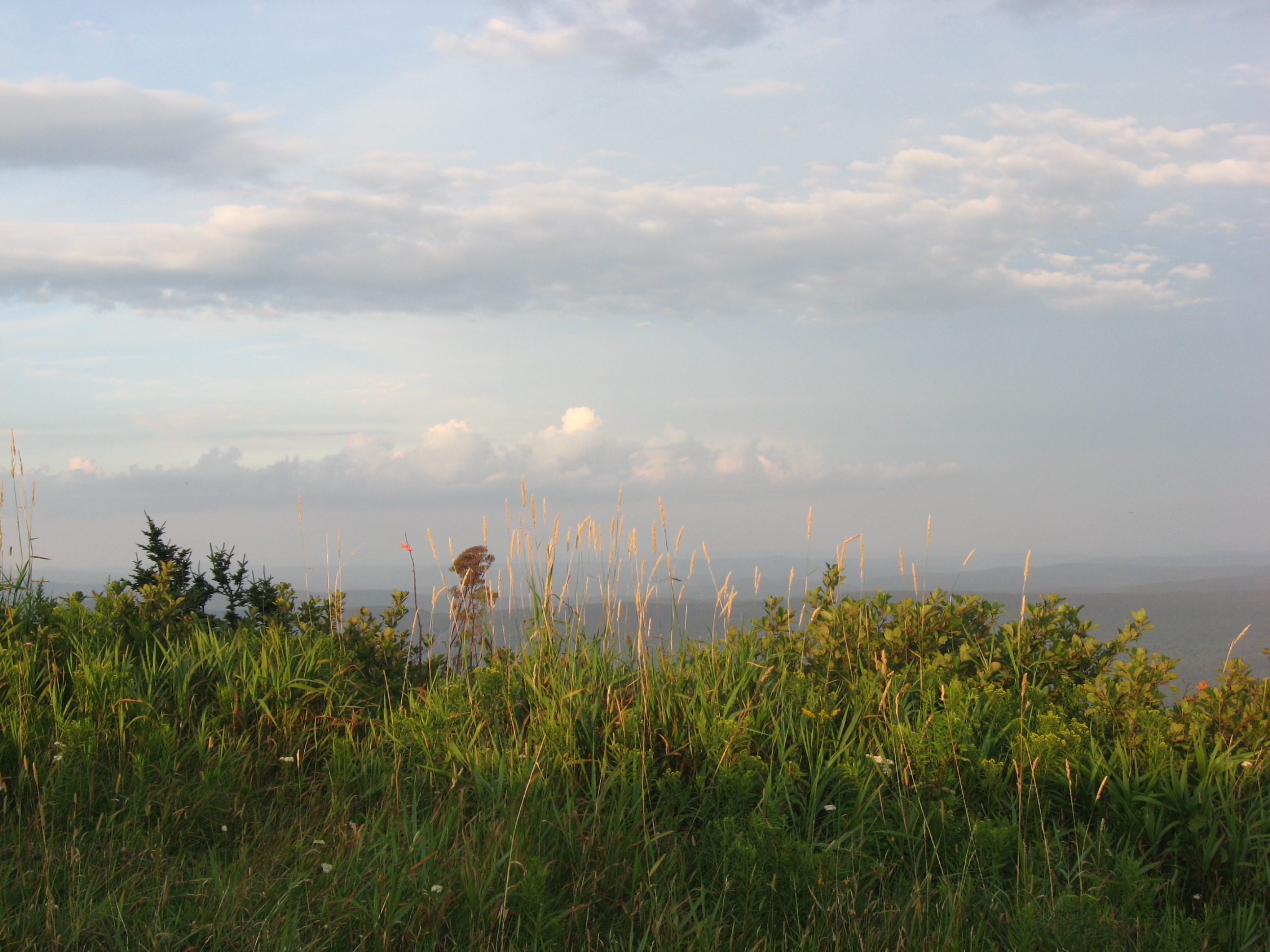
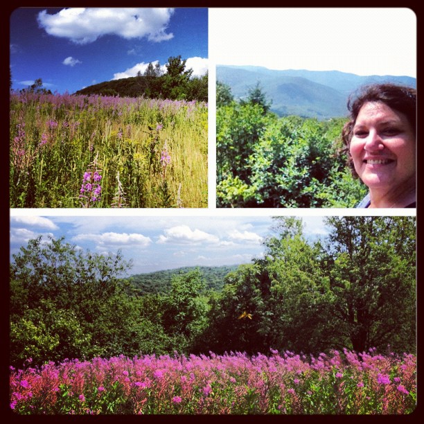
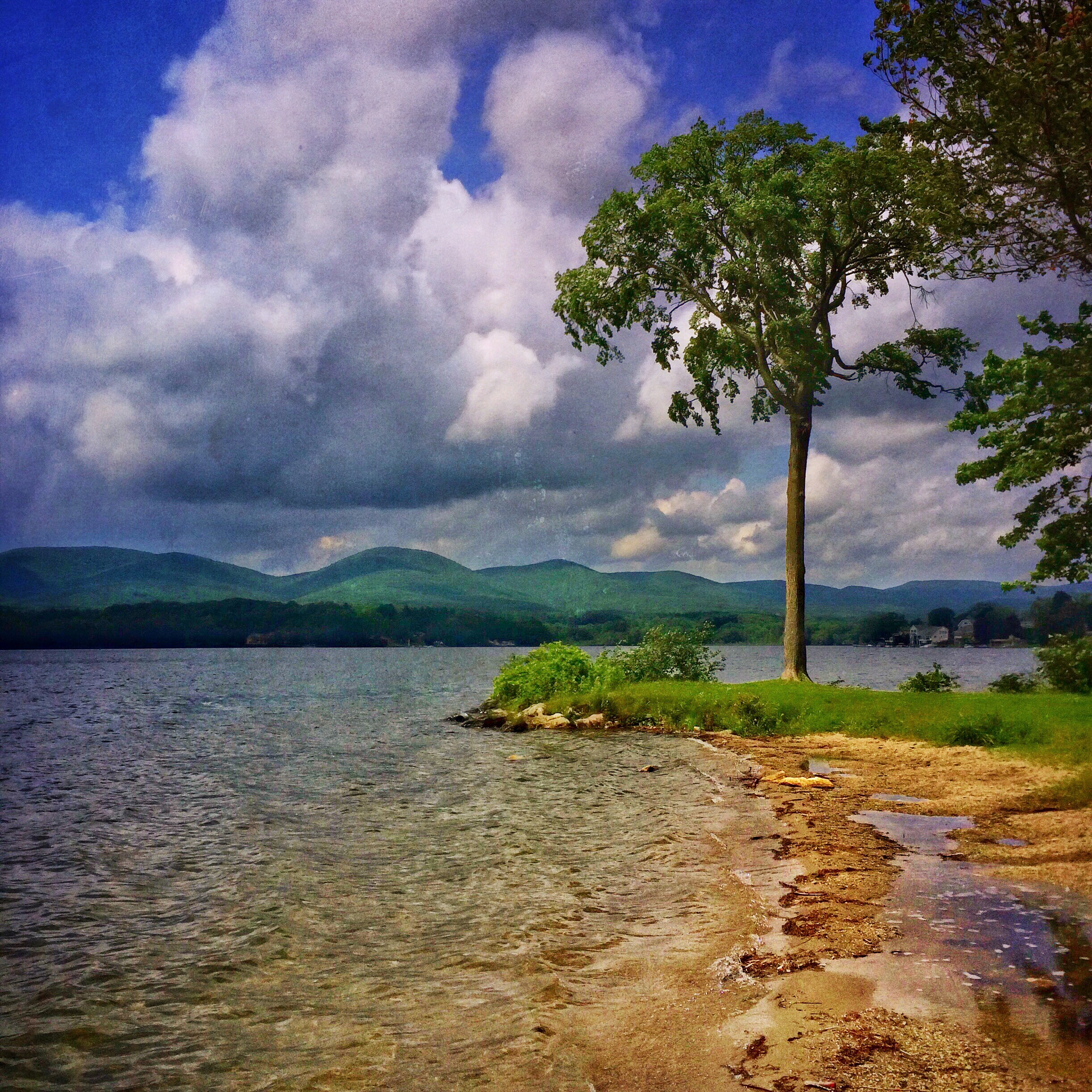
A distant View of Mount Greylock
It's All A Matter Of Perspective
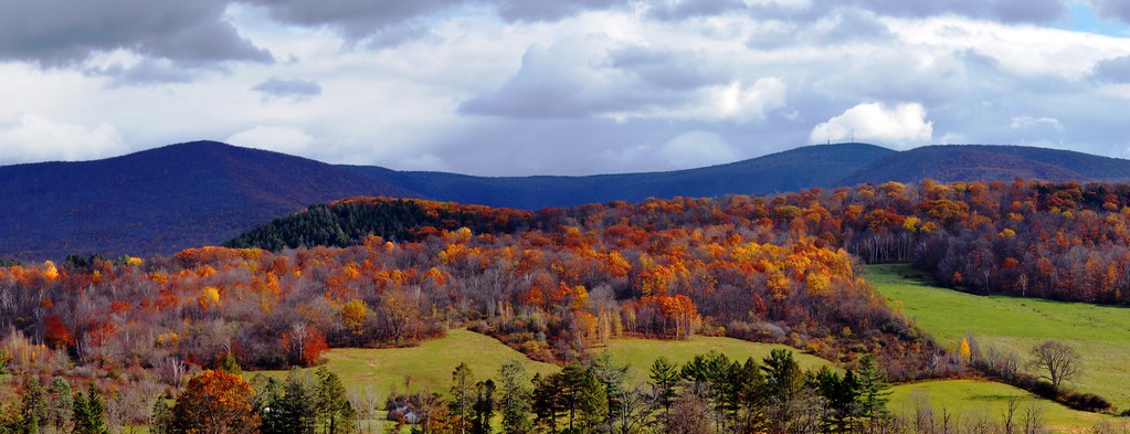
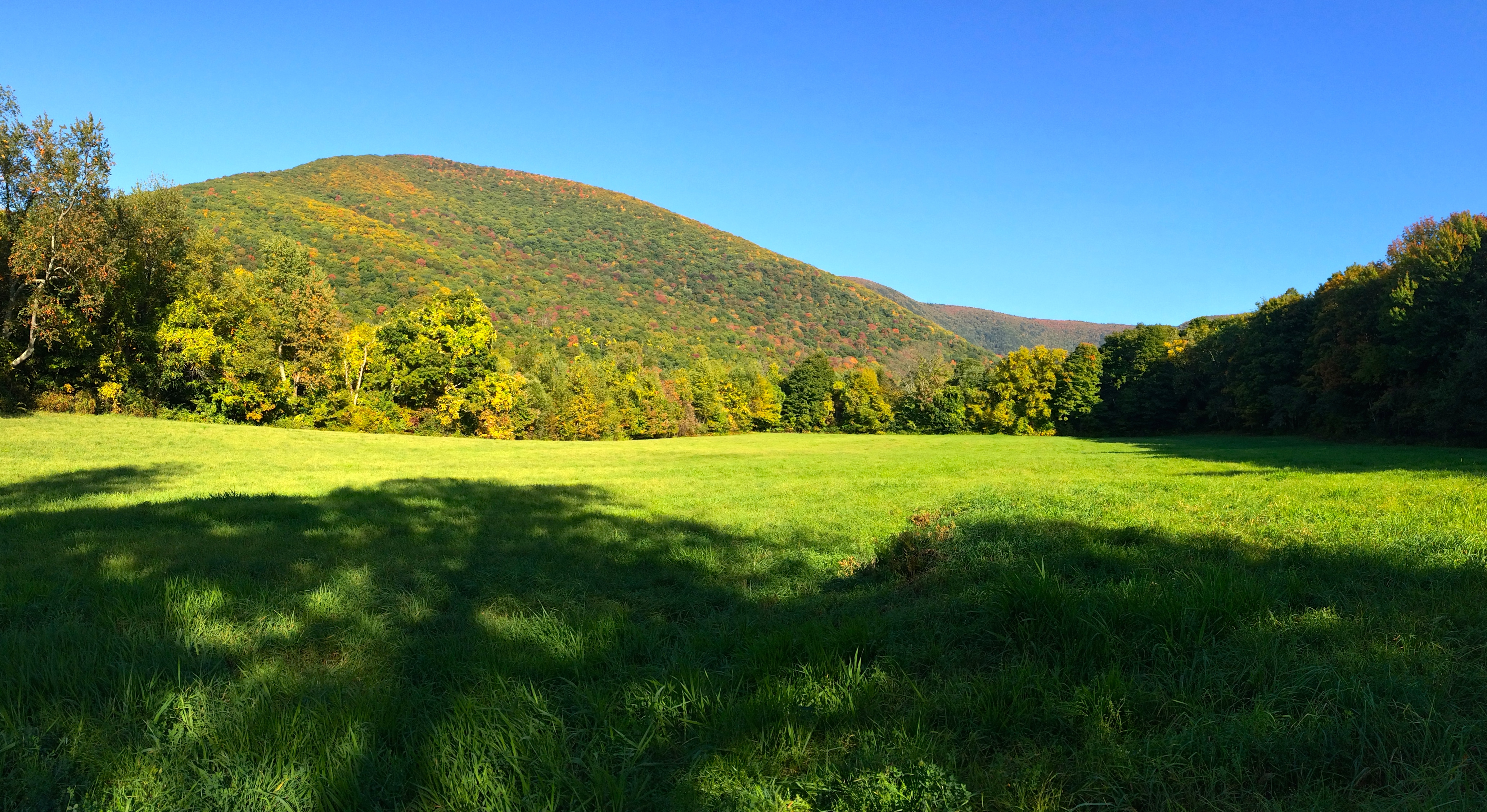
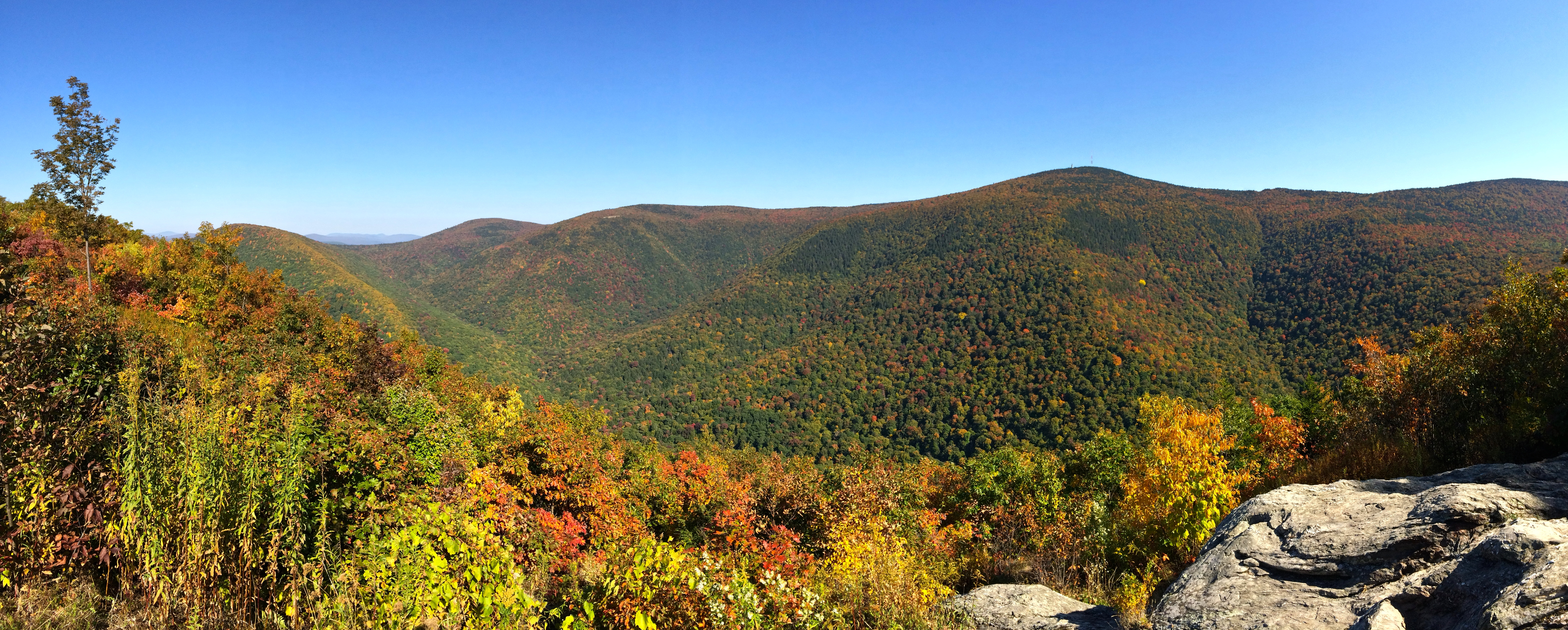
Fall Color - Eastern New York
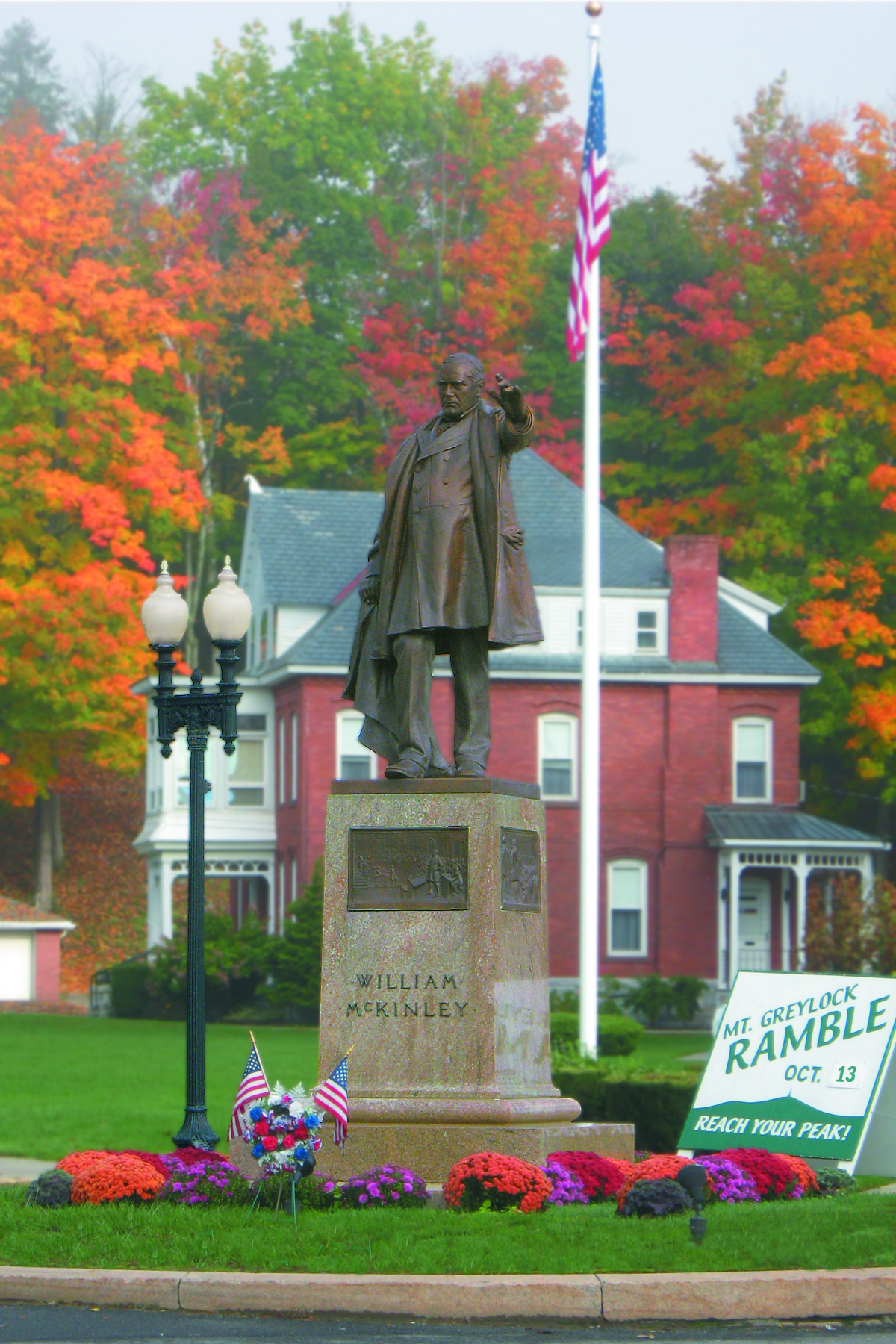
Mt. Greylock Ramble - Lanesborough
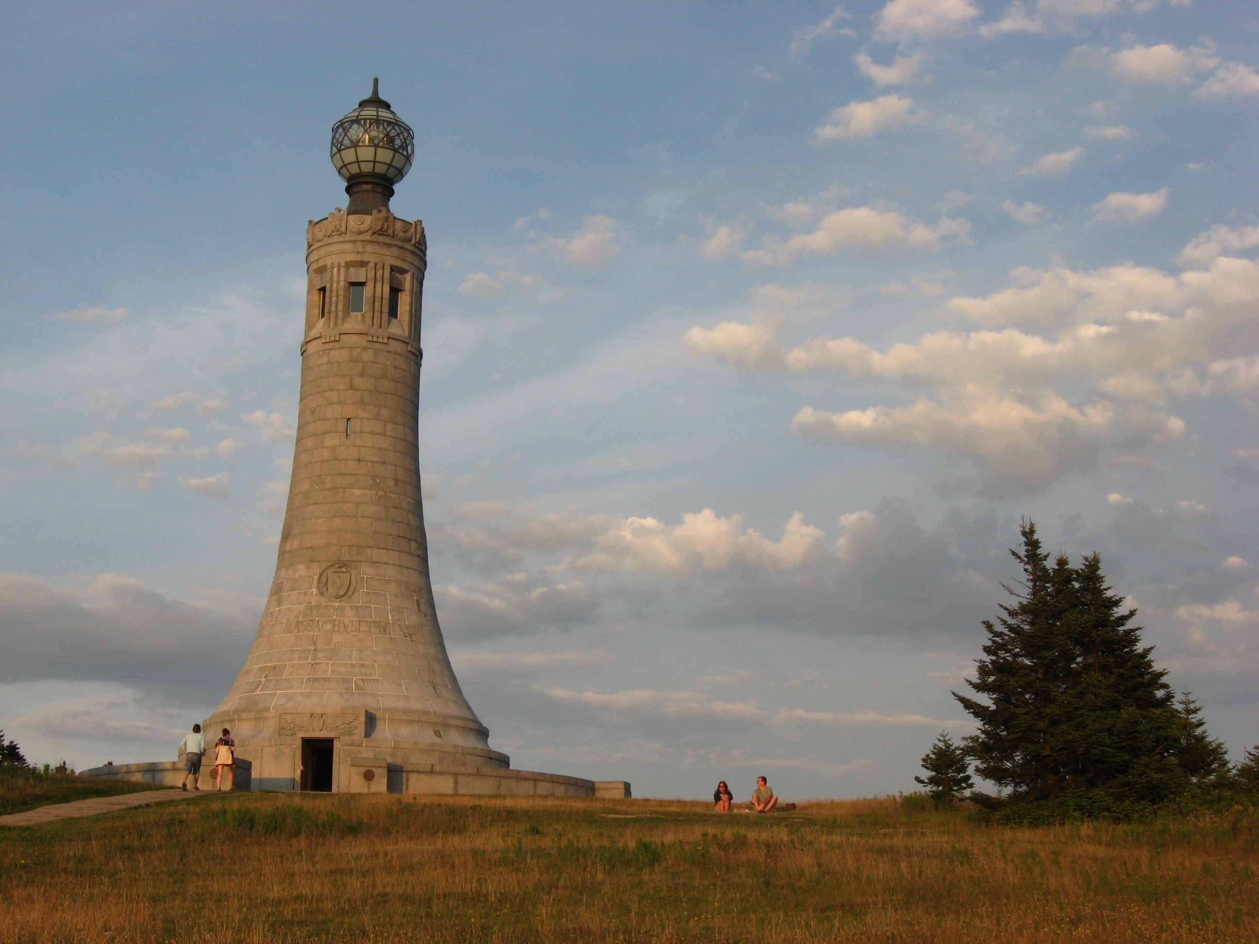
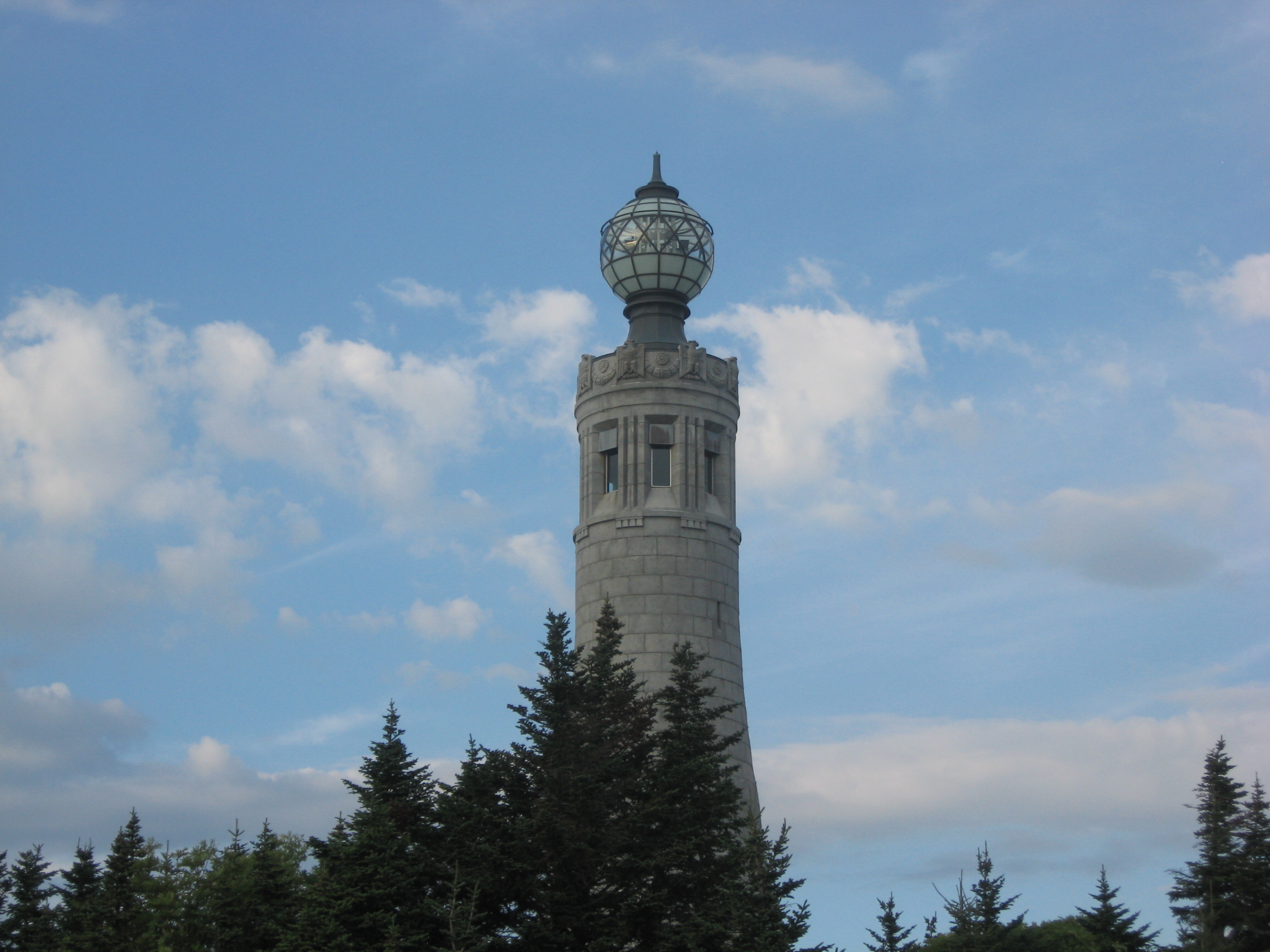
Mount Greylock Tower, Lanesborough
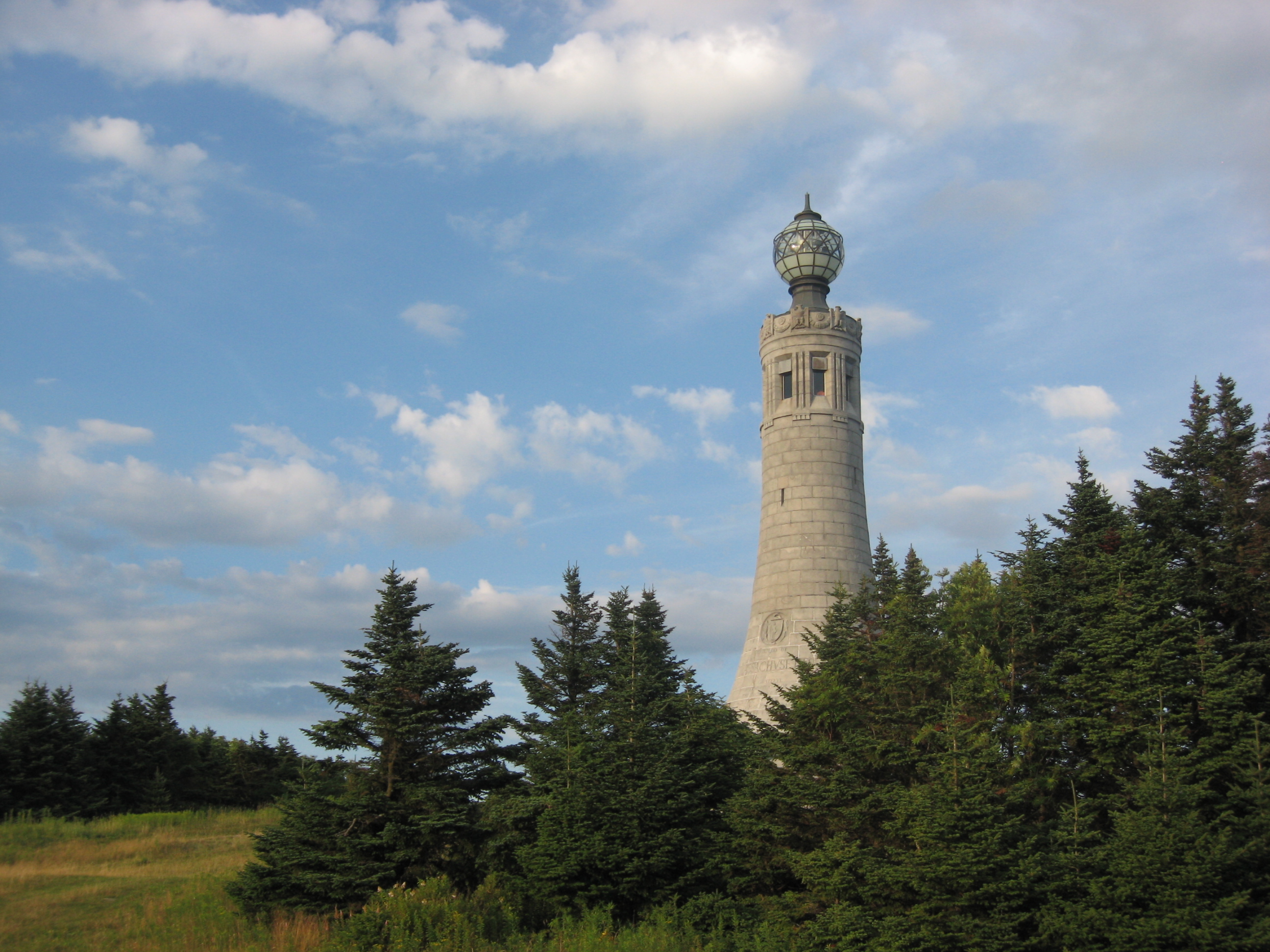
Mount Greylock Tower Among Pines, Lanesborough
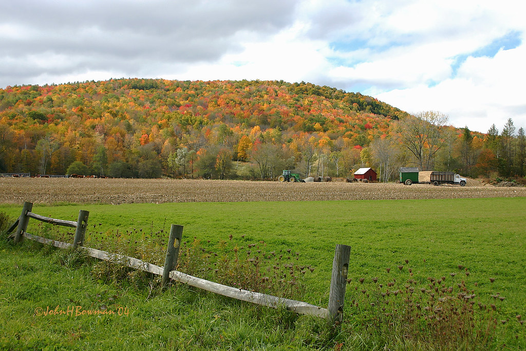
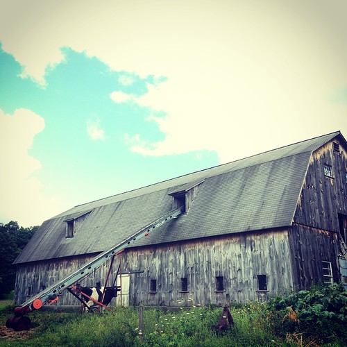
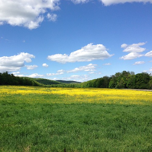
Farm View

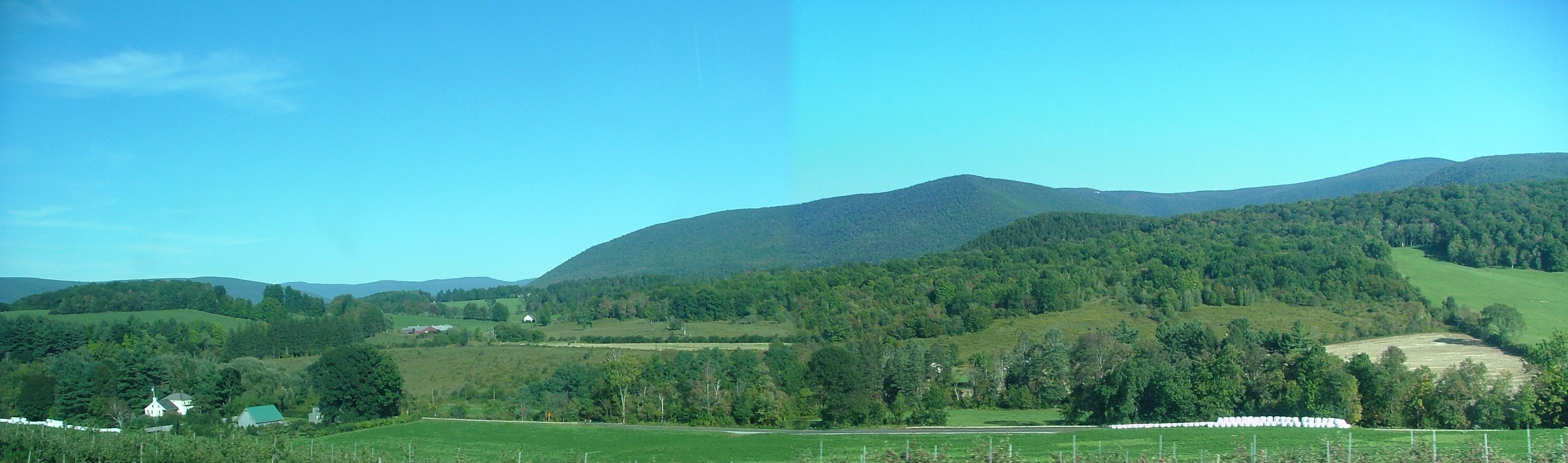
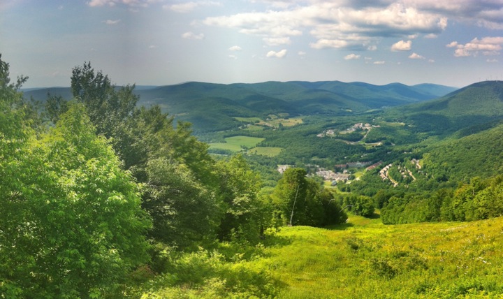
View west from Berry Hill

edge view - web
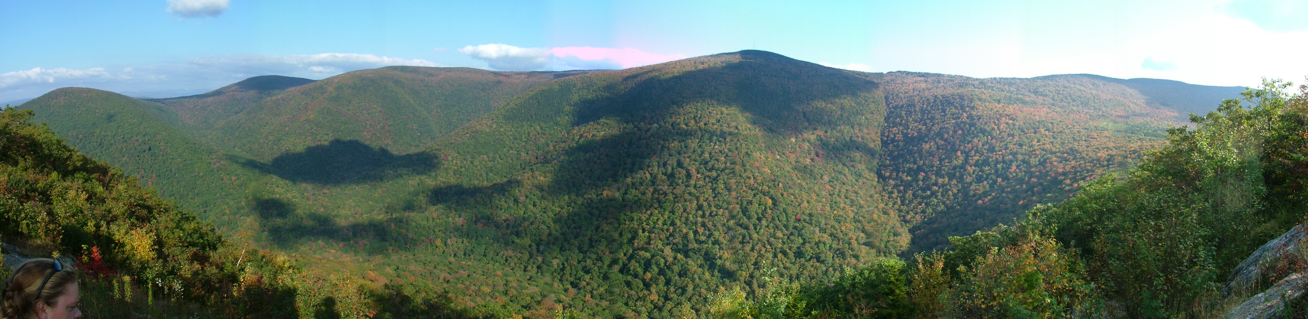
The Berkshires Barren
View of the Hopper from Pine Cobble
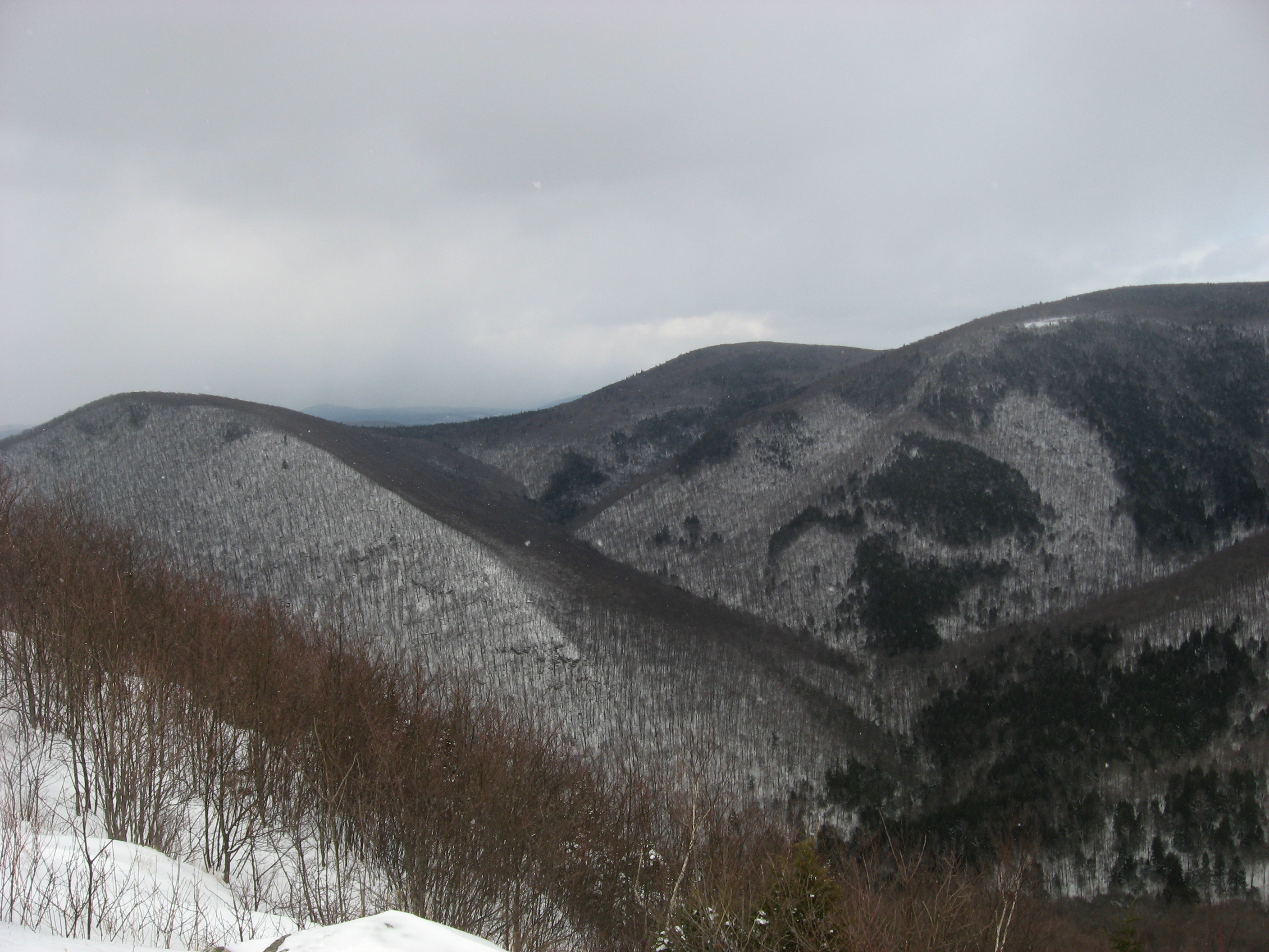
A view down into the Hopper.
Mt. Greylock Ramble - Lanesborough
Mt. Greylock Ramble - Lanesborough

Final approach
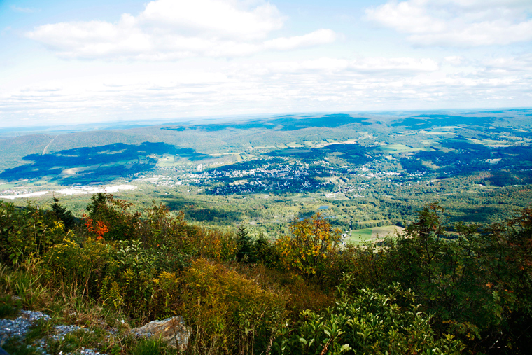
View from Mount Greylock, Lanesborough
Purple Valley

View from near Barre Pond - Pittsfield State Forest
Veterans War Memorial Tower, Mount Greylock, Lanesborough
Bascom Lodge- Beautiful View
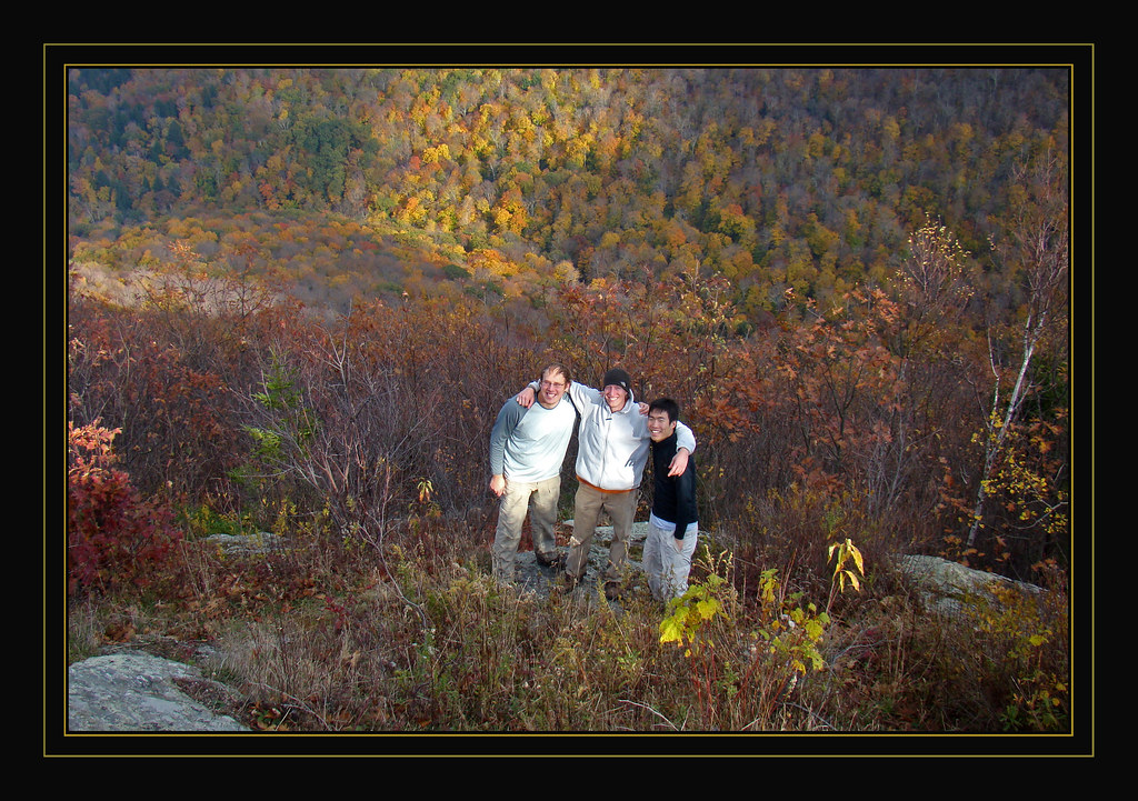
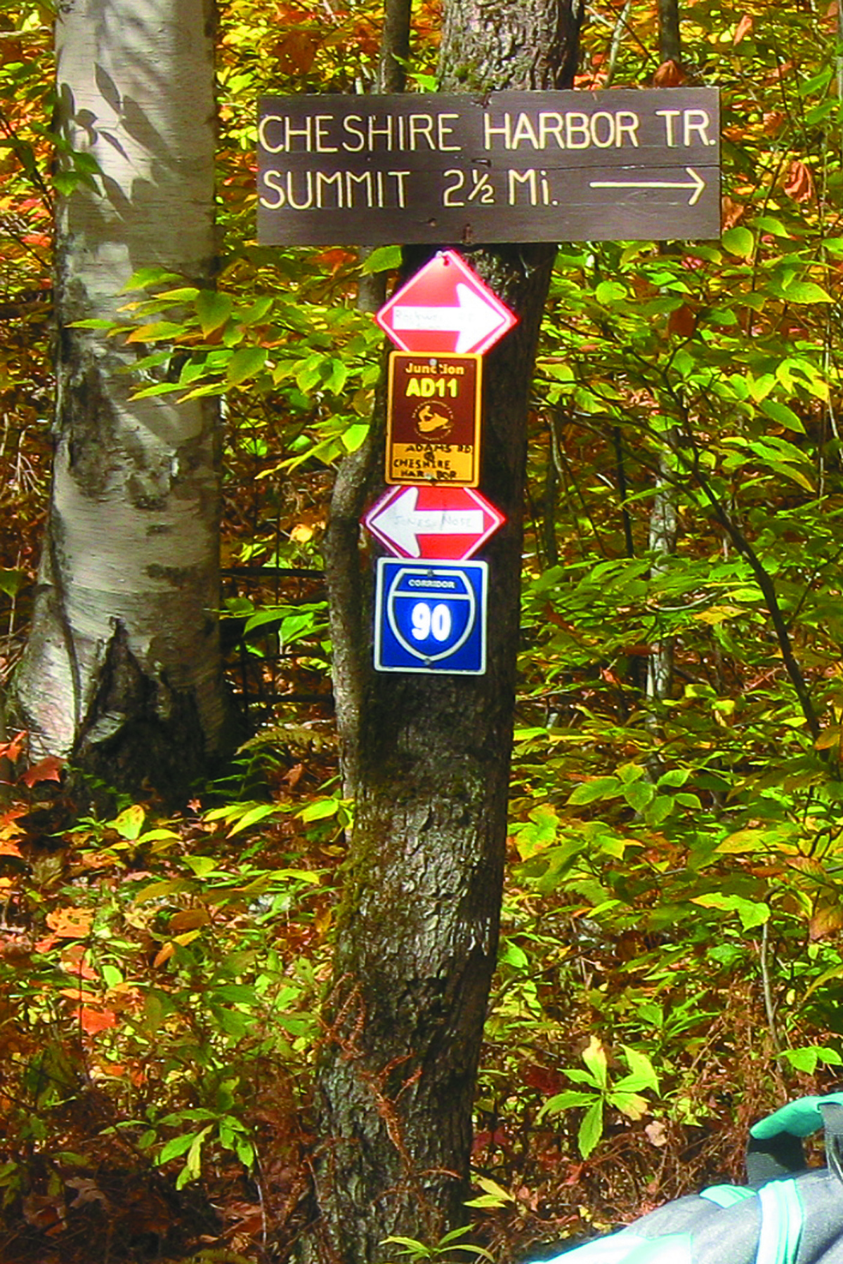
Views from Appalachian trailhead

We made it

Williamstown Sky

LOW GEAR

Along Rt 7 - Williamstown, MA

Along Rt 7 - Williamstown, MA

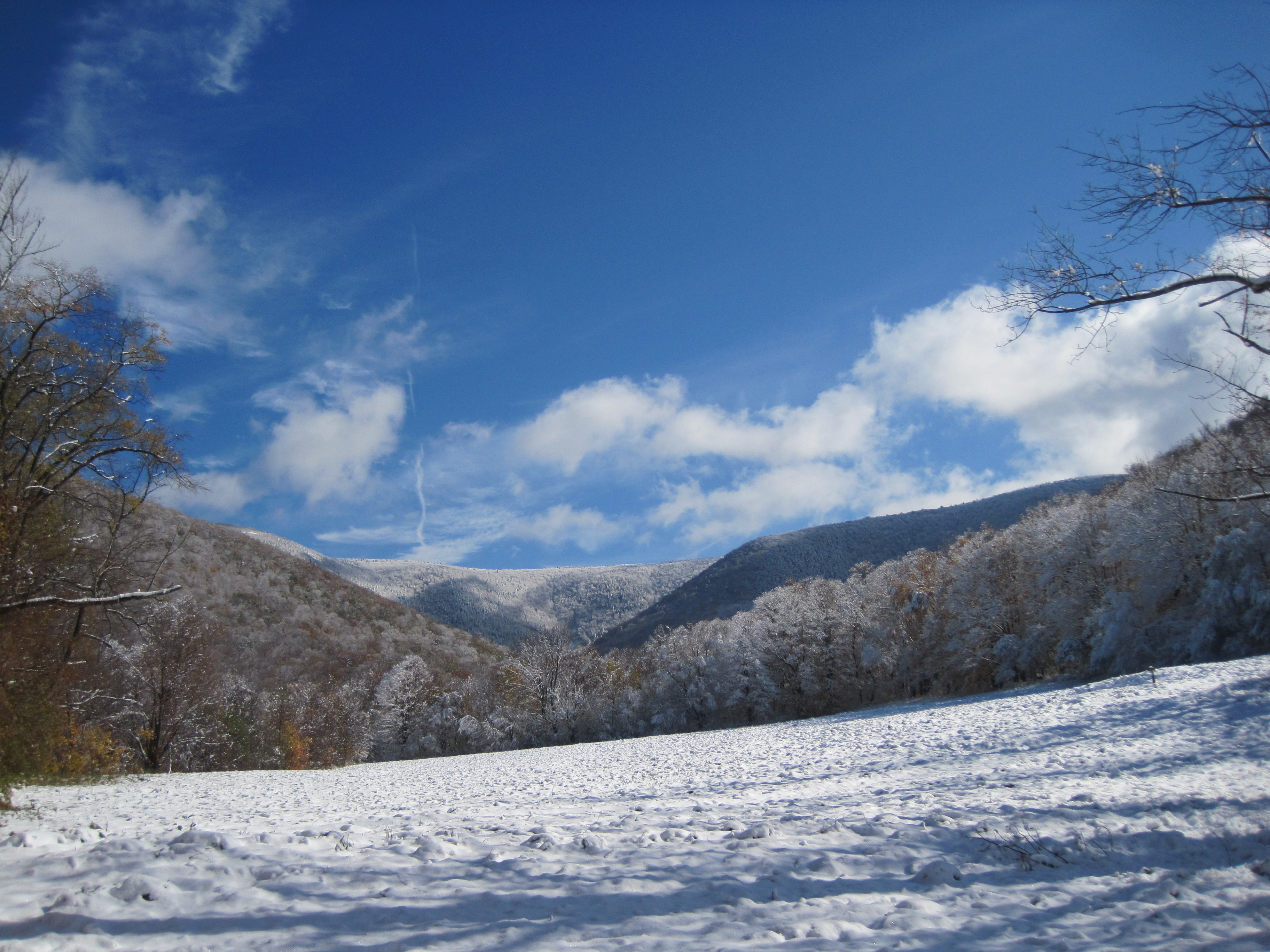
Snow Covered Pines, Pittsfield, MA

Along Rt 7 - Williamstown, MA

Along Rt 7 - Williamstown, MA
Stony Point Pano

Along Rt 7 - Williamstown, MA

Along Rt 7 - Williamstown, MA
At Summit Lodge @ Jiminy Peak
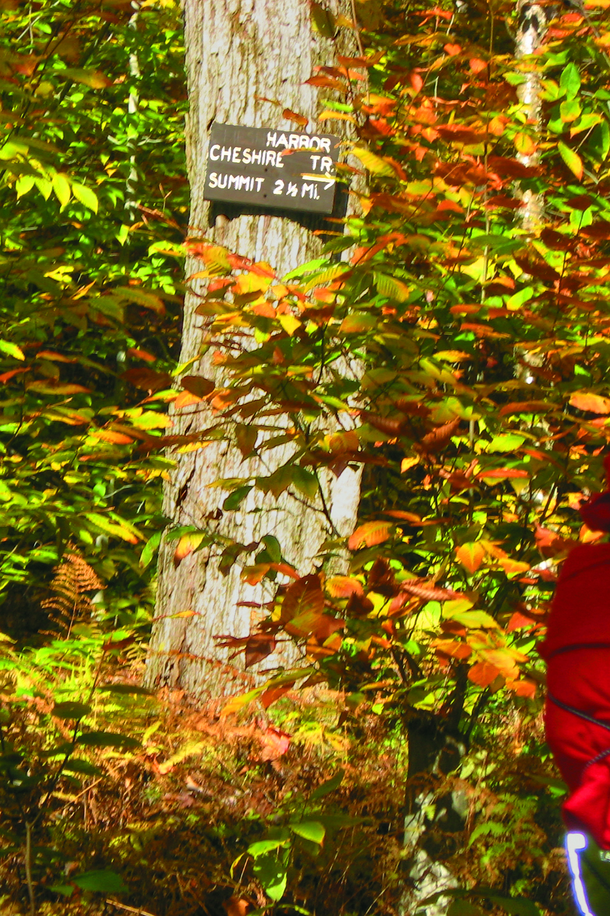
Trail head observer
New England Landscape 28

120506-015
This is home #nofilter
The Hopper.
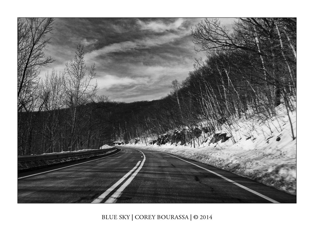
BLUE SKY
Topographic Map of NY-22, Stephentown, NY, USA
Find elevation by address:

Places near NY-22, Stephentown, NY, USA:
84 Whitman Rd
102 Whitman Rd
760 East Rd
Moore Hill Road
Robinson Hollow Way
417 East Rd
282 East Rd
Cherry Plain
93 Cherry Plain Square, Berlin, NY, USA
4 W Rd
150 Madden Rd
Stephentown
290 Newton Rd
Stephentown
Mechanicsville
Cherry Plain State Park
120 Staples Rd
126 Staples Rd
566 Bly Hollow Rd
18 Browns Ln, Berlin, NY, USA
Recent Searches:
- Elevation of Corso Fratelli Cairoli, 35, Macerata MC, Italy
- Elevation of Tallevast Rd, Sarasota, FL, USA
- Elevation of 4th St E, Sonoma, CA, USA
- Elevation of Black Hollow Rd, Pennsdale, PA, USA
- Elevation of Oakland Ave, Williamsport, PA, USA
- Elevation of Pedrógão Grande, Portugal
- Elevation of Klee Dr, Martinsburg, WV, USA
- Elevation of Via Roma, Pieranica CR, Italy
- Elevation of Tavkvetili Mountain, Georgia
- Elevation of Hartfords Bluff Cir, Mt Pleasant, SC, USA