Elevation of NW Darwin Loop, Madison, FL, USA
Location: United States > Florida > Madison County > Madison >
Longitude: -83.427695
Latitude: 30.549834
Elevation: 34m / 112feet
Barometric Pressure: 101KPa
Elevation Map:
Satellite Map:
Related Photos:

Madison County Courthouse (Madison, Florida)

PIO -384
352) Madison FL - Cherry Lake - 4H Club - pier and lakeshore [HX9V]
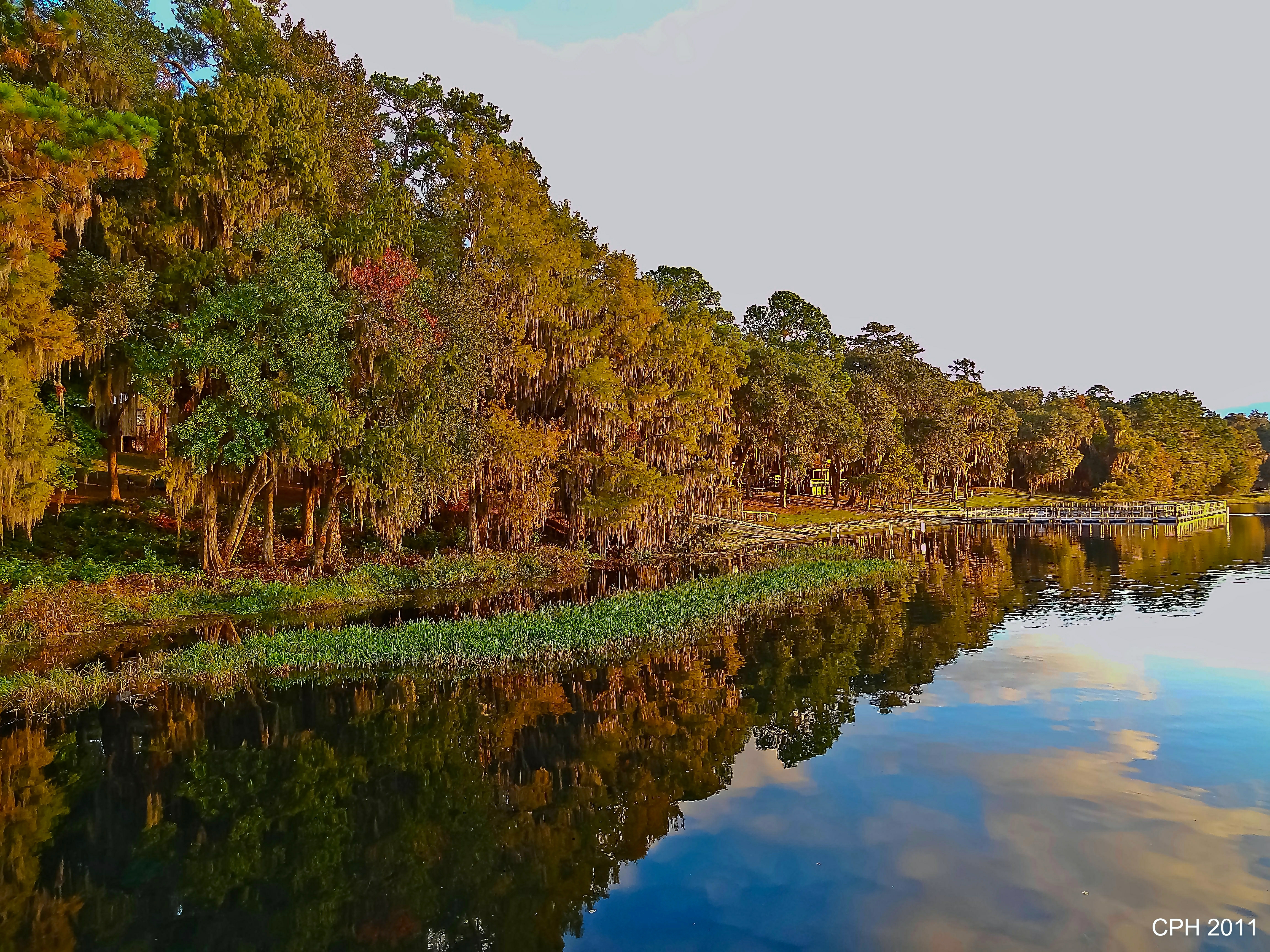
350) Madison FL - Cherry Lake - 4H Club - shoreline & offshore vegetation [HX9V]

Madison County Airport 99FL
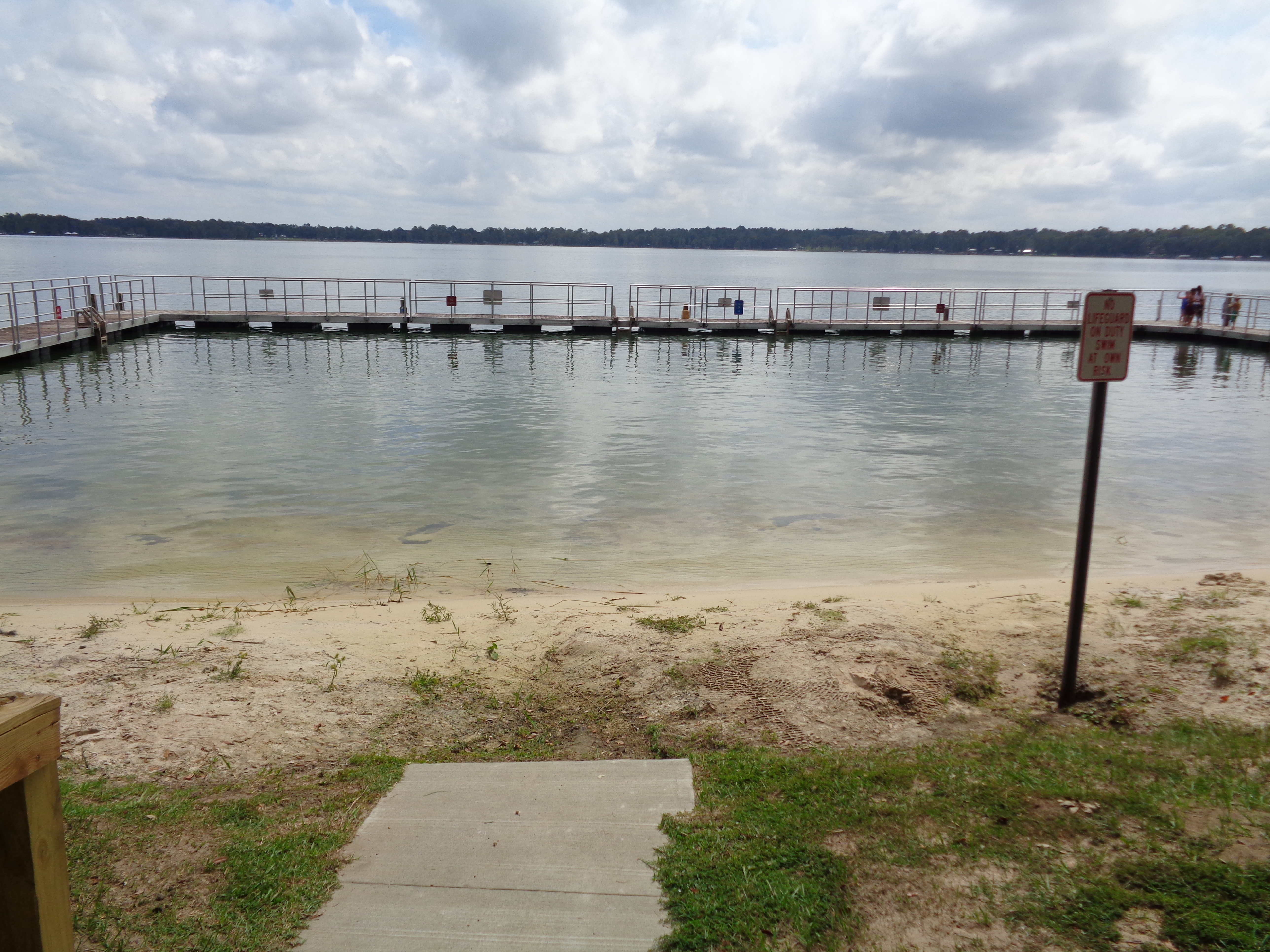
Cherry lake Public Beach, Florida
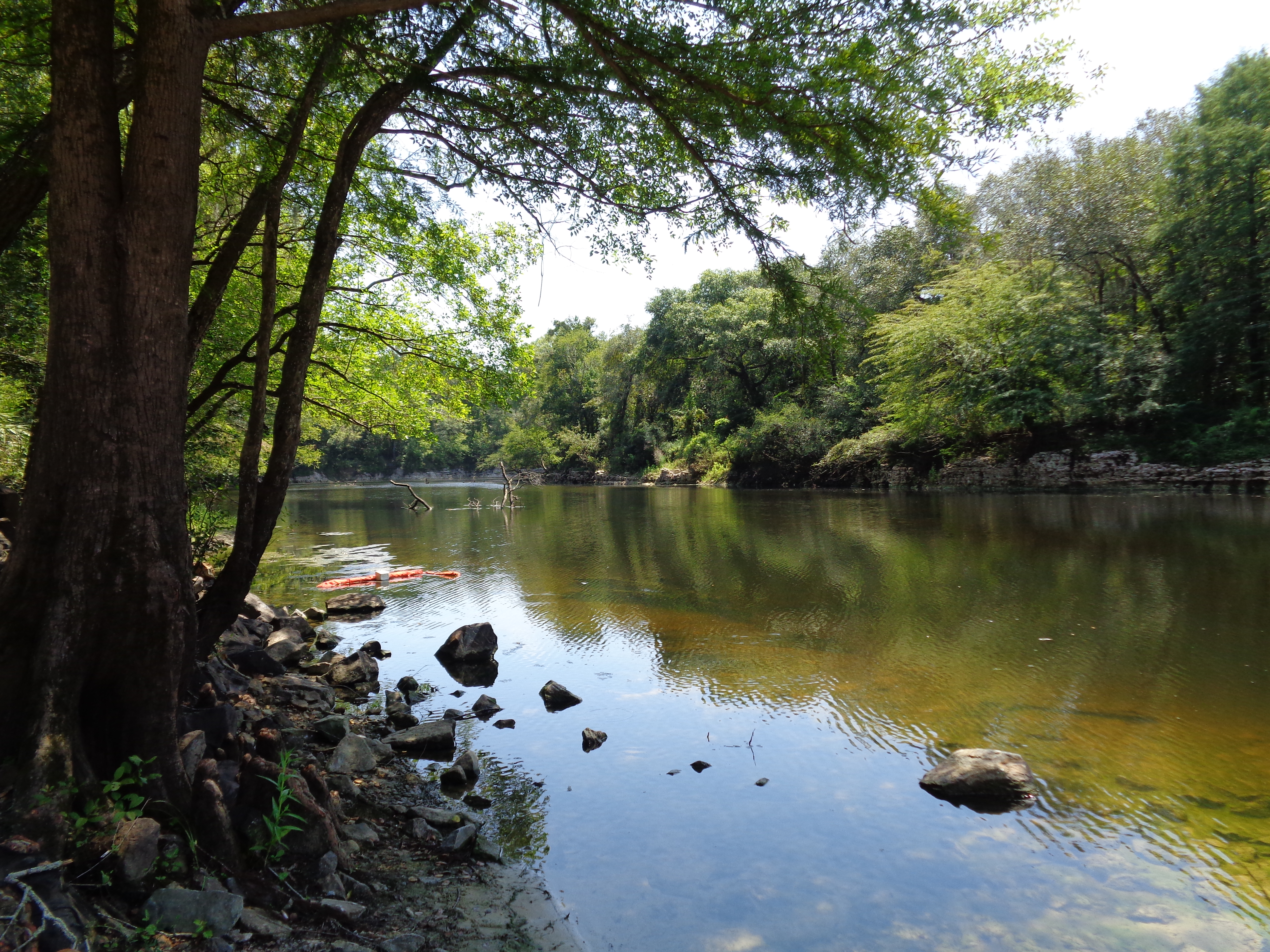
Withlacoochee River near GA31 bridge

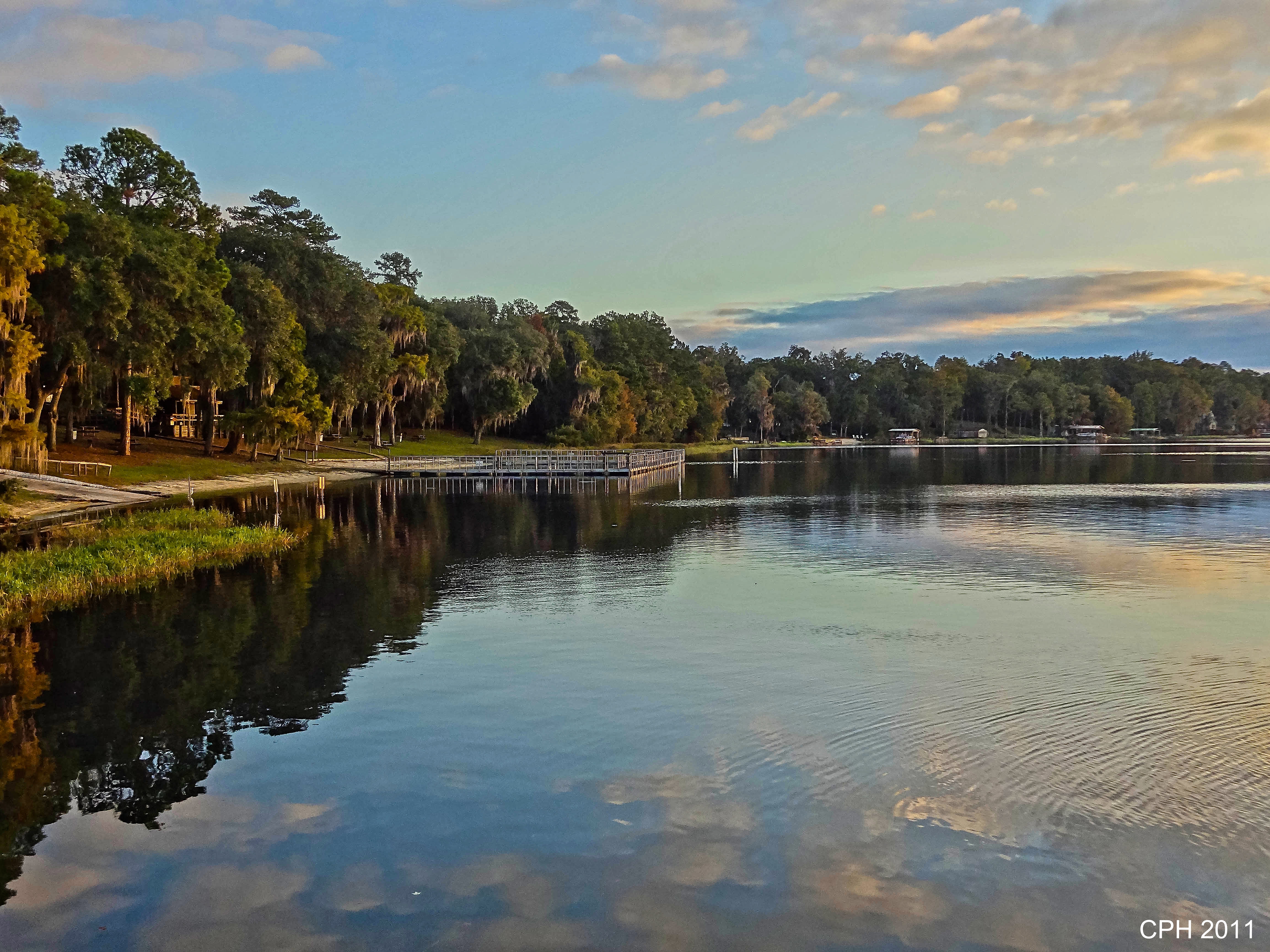
Cherry Lake Sunrise
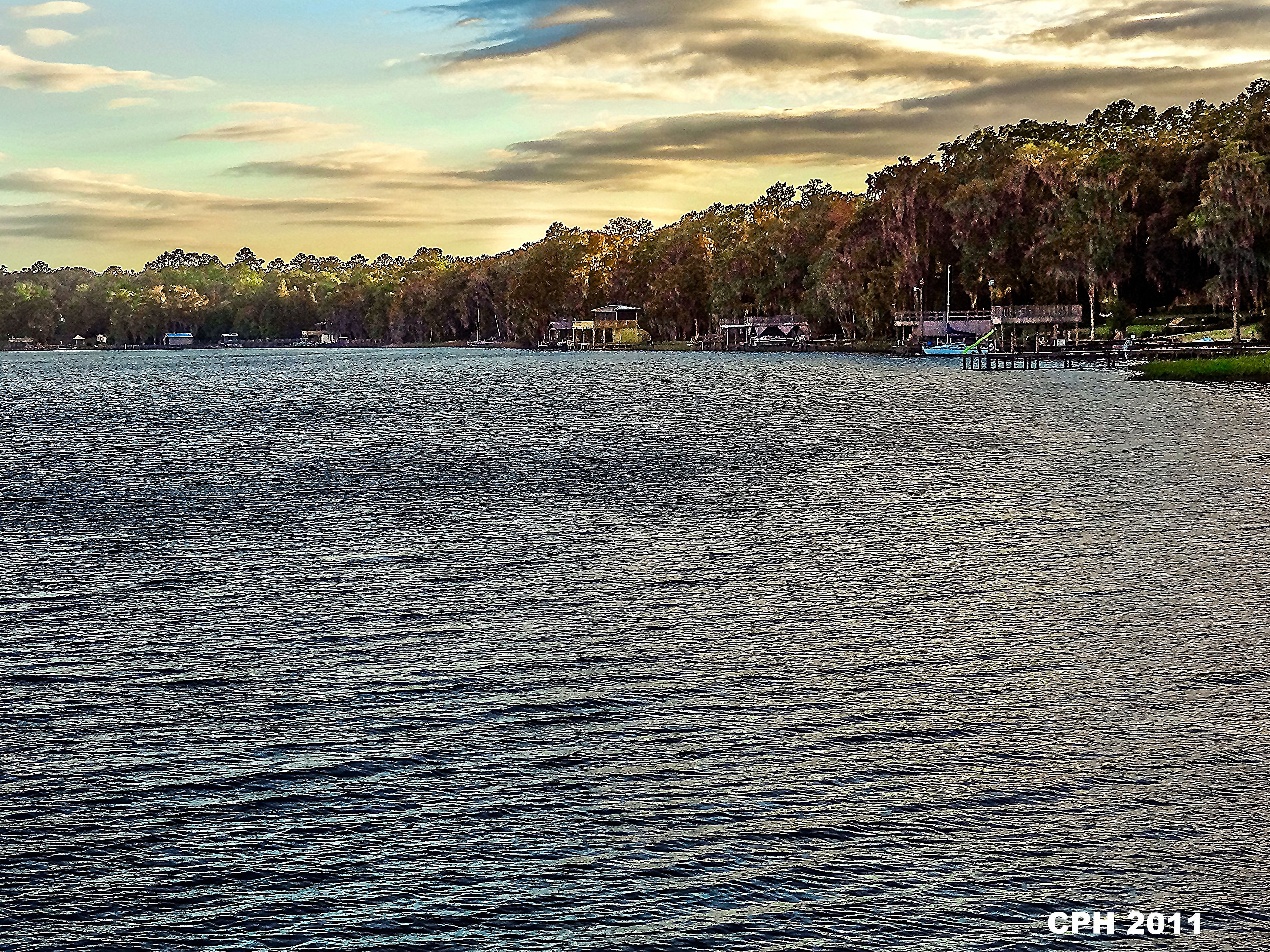
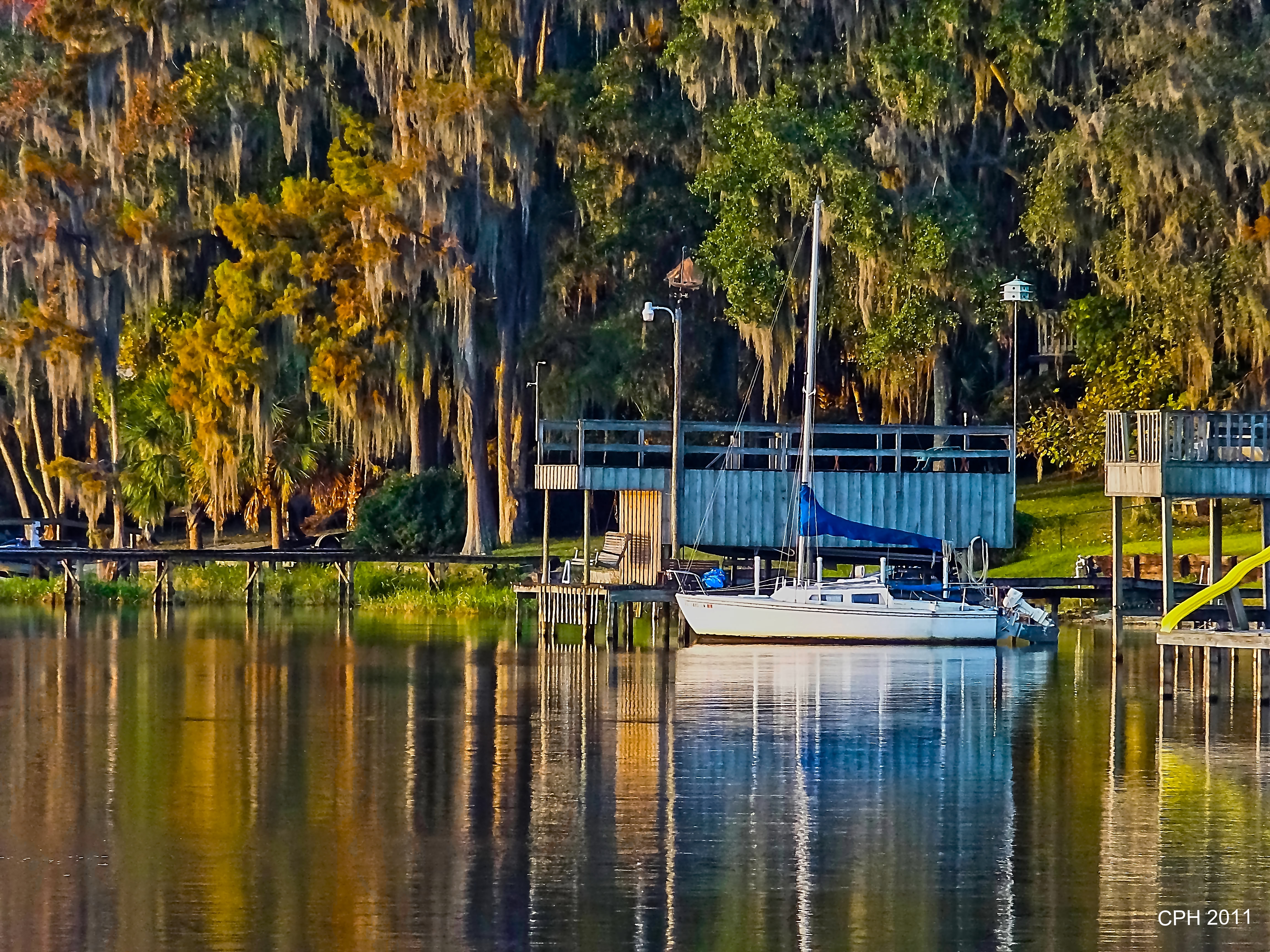
353) Madison FL - Cherry Lake - 4H Club - shoreline, piers and boats [HX9V]
351) Madison FL - Cherry Lake - 4H Club - shoreline and pier [HX9V]
Topographic Map of NW Darwin Loop, Madison, FL, USA
Find elevation by address:

Places near NW Darwin Loop, Madison, FL, USA:
536 Nw Firefly Way
536 Nw Firefly Way #0
3076 Fl-53
2830 Fl-53
1624 Nw Little Cat Rd
NE Colin Kelly Hwy, Madison, FL, USA
212 Ne College Terrace
369 N Washington St
4553 County Rd 150
588 Ne Nixon Pl
588 Ne Nixon Pl
588 Ne Nixon Pl
Madison
Madison Rv & Golf Resort
198 Sw Rutledge St
406 Sw Horry Ave
557 Sw Range Ave
304 Sw Georgia St
NW Hamburg Rd, Madison, FL, USA
Southwest Mci Way
Recent Searches:
- Elevation of Corso Fratelli Cairoli, 35, Macerata MC, Italy
- Elevation of Tallevast Rd, Sarasota, FL, USA
- Elevation of 4th St E, Sonoma, CA, USA
- Elevation of Black Hollow Rd, Pennsdale, PA, USA
- Elevation of Oakland Ave, Williamsport, PA, USA
- Elevation of Pedrógão Grande, Portugal
- Elevation of Klee Dr, Martinsburg, WV, USA
- Elevation of Via Roma, Pieranica CR, Italy
- Elevation of Tavkvetili Mountain, Georgia
- Elevation of Hartfords Bluff Cir, Mt Pleasant, SC, USA