Elevation of NW County Rd 53, Mayo, FL, USA
Location: United States > Florida > Lafayette County > Mayo >
Longitude: -83.29161
Latitude: 30.193937
Elevation: 28m / 92feet
Barometric Pressure: 101KPa
Elevation Map:
Satellite Map:
Related Photos:

In The Pines, In The Pines

Project 365- 335-365

Charles Springs County Park, FL 11 Nov 2014 13
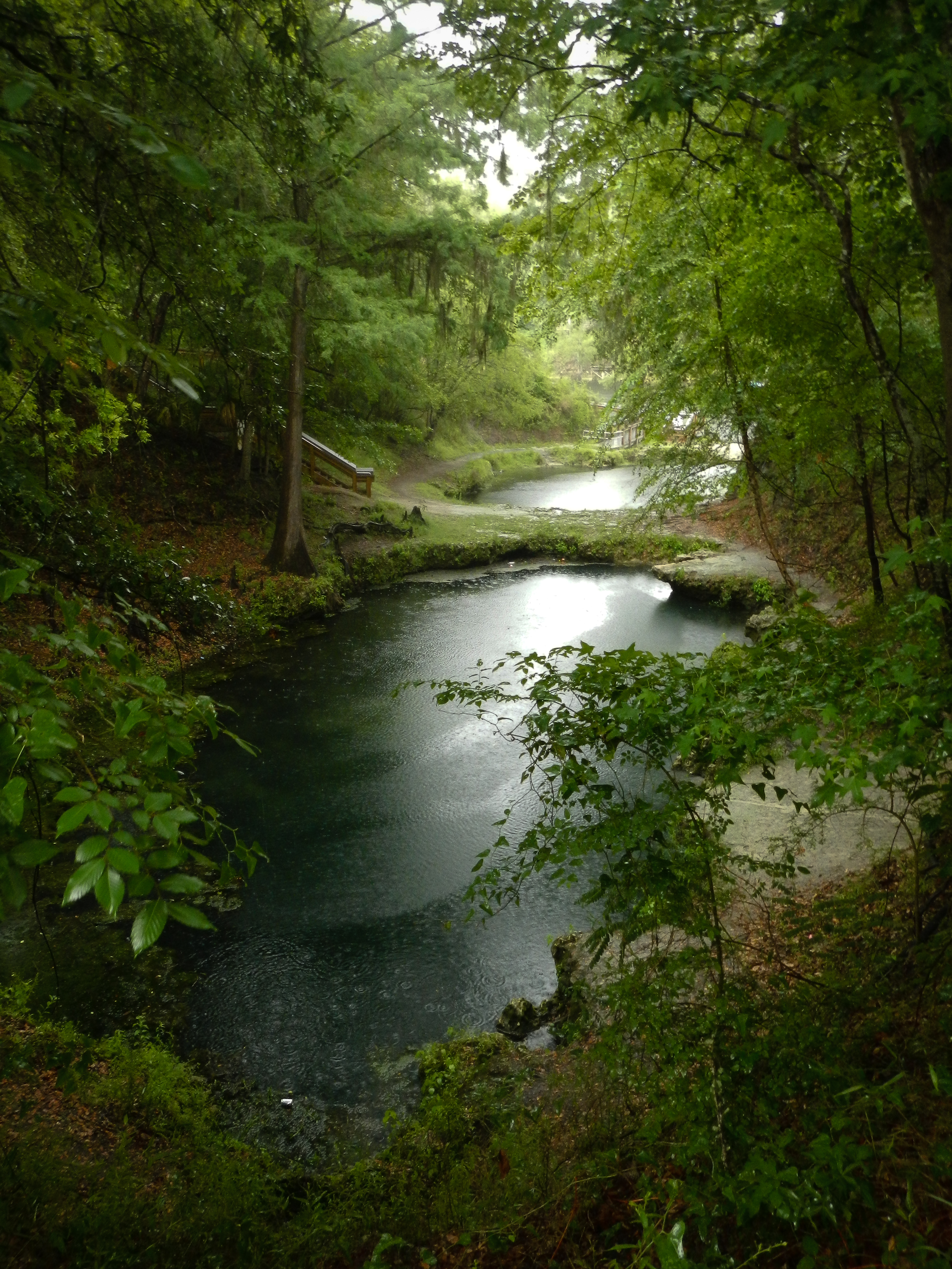
Lafayette Blue Springs Rainy

Charles Springs County Park, FL 11 Nov 2014 2
Main Karst Window

OLYMPUS DIGITAL CAMERA

Charles Springs County Park, FL 11 Nov 2014 8

Charles Springs County Park, FL 11 Nov 2014 7
Lafayette Blue Springs

Charles Springs County Park, FL 11 Nov 2014 21

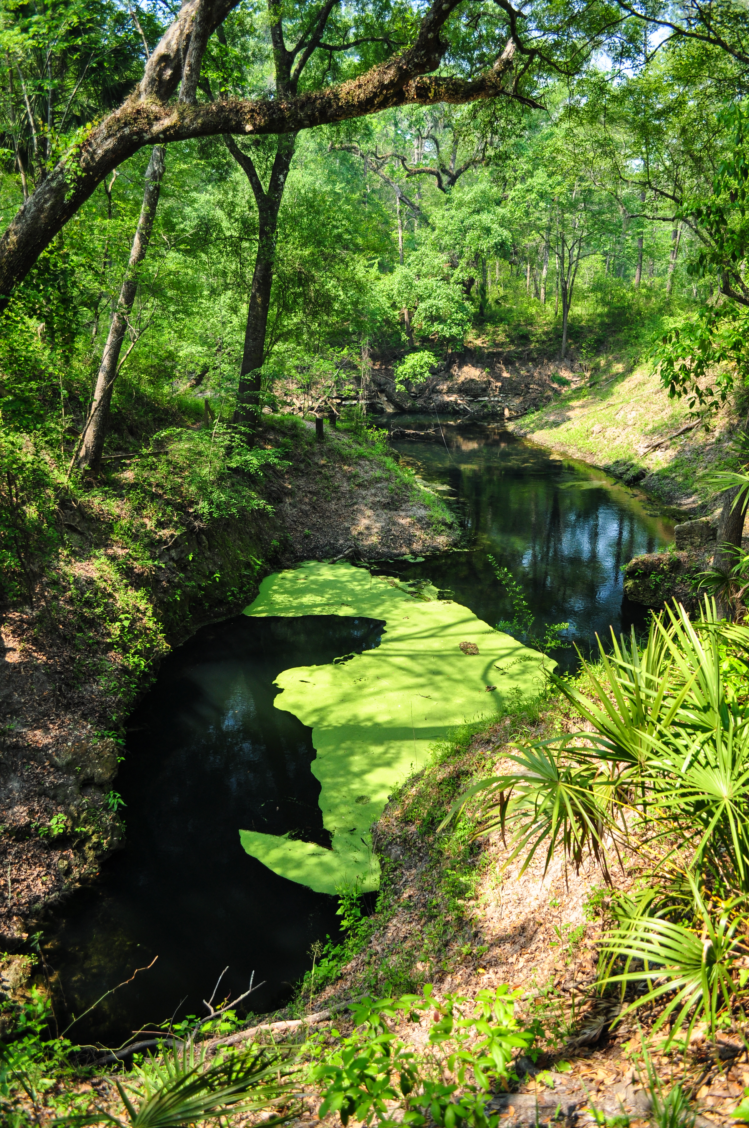
Karst Emergence

Charles Springs County Park, FL 11 Nov 2014 10

First Karst Window

Charles Springs County Park, FL 11 Nov 2014 15

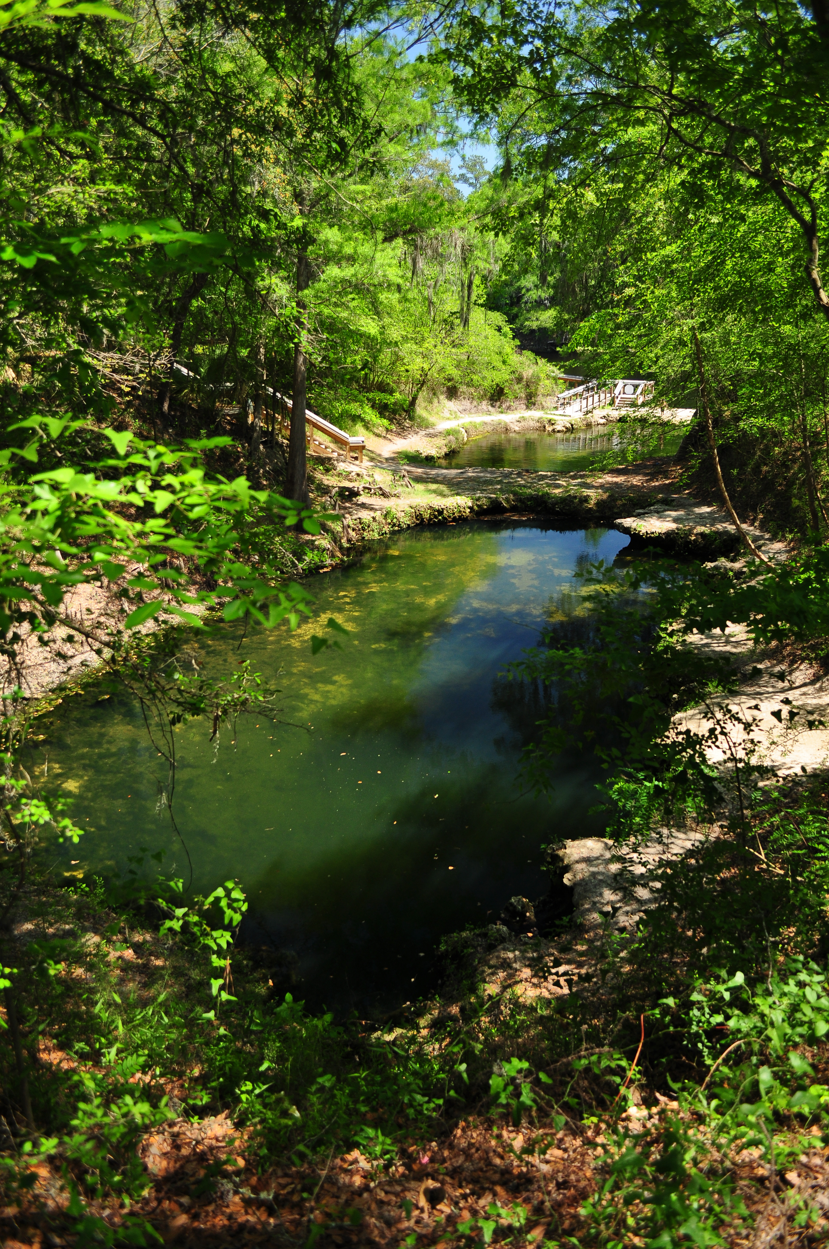
Karst Window Pool

Under the Bridge

Karst Window River

Path to the Ramp

OLYMPUS DIGITAL CAMERA

Limestone Bridge Over the Tunnel
Topographic Map of NW County Rd 53, Mayo, FL, USA
Find elevation by address:

Places near NW County Rd 53, Mayo, FL, USA:
Day
NW Bering Rd, Mayo, FL, USA
13815 237th Dr
13815 237th Dr
13815 237th Dr
14489 237th Dr
14489 237th Dr
NW County Rd, Mayo, FL, USA
799 Blue Springs Rd
229th Drive
220 N White Water Trail
11468 217th Rd
274 Nw S Whitewater Trail
327 Nw S Whitewater Trail
18883 229th Dr
176th Street
13691 201st Rd
NW Harold Winburn Rd, Mayo, FL, USA
18475 213th Dr
Cessna Circle
Recent Searches:
- Elevation of Corso Fratelli Cairoli, 35, Macerata MC, Italy
- Elevation of Tallevast Rd, Sarasota, FL, USA
- Elevation of 4th St E, Sonoma, CA, USA
- Elevation of Black Hollow Rd, Pennsdale, PA, USA
- Elevation of Oakland Ave, Williamsport, PA, USA
- Elevation of Pedrógão Grande, Portugal
- Elevation of Klee Dr, Martinsburg, WV, USA
- Elevation of Via Roma, Pieranica CR, Italy
- Elevation of Tavkvetili Mountain, Georgia
- Elevation of Hartfords Bluff Cir, Mt Pleasant, SC, USA