Elevation of Nunda Township, MI, USA
Location: United States > Michigan > Cheboygan County >
Longitude: -84.468209
Latitude: 45.2596222
Elevation: 260m / 853feet
Barometric Pressure: 98KPa
Elevation Map:
Satellite Map:
Related Photos:

a portrait of keith bunker: thanks for 100,000 views

Bull Elk

Pure Michigan, Pure Kevin

Jesse Tees Off

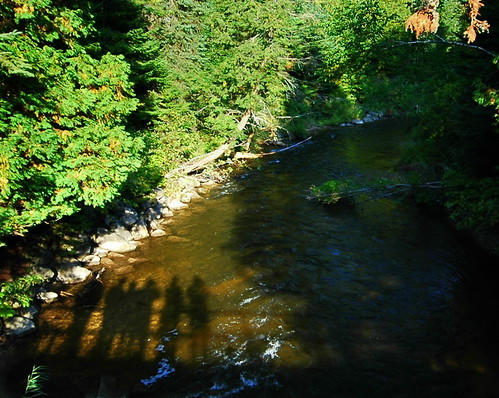
UNDER THE BRIDGE

Tall Trees
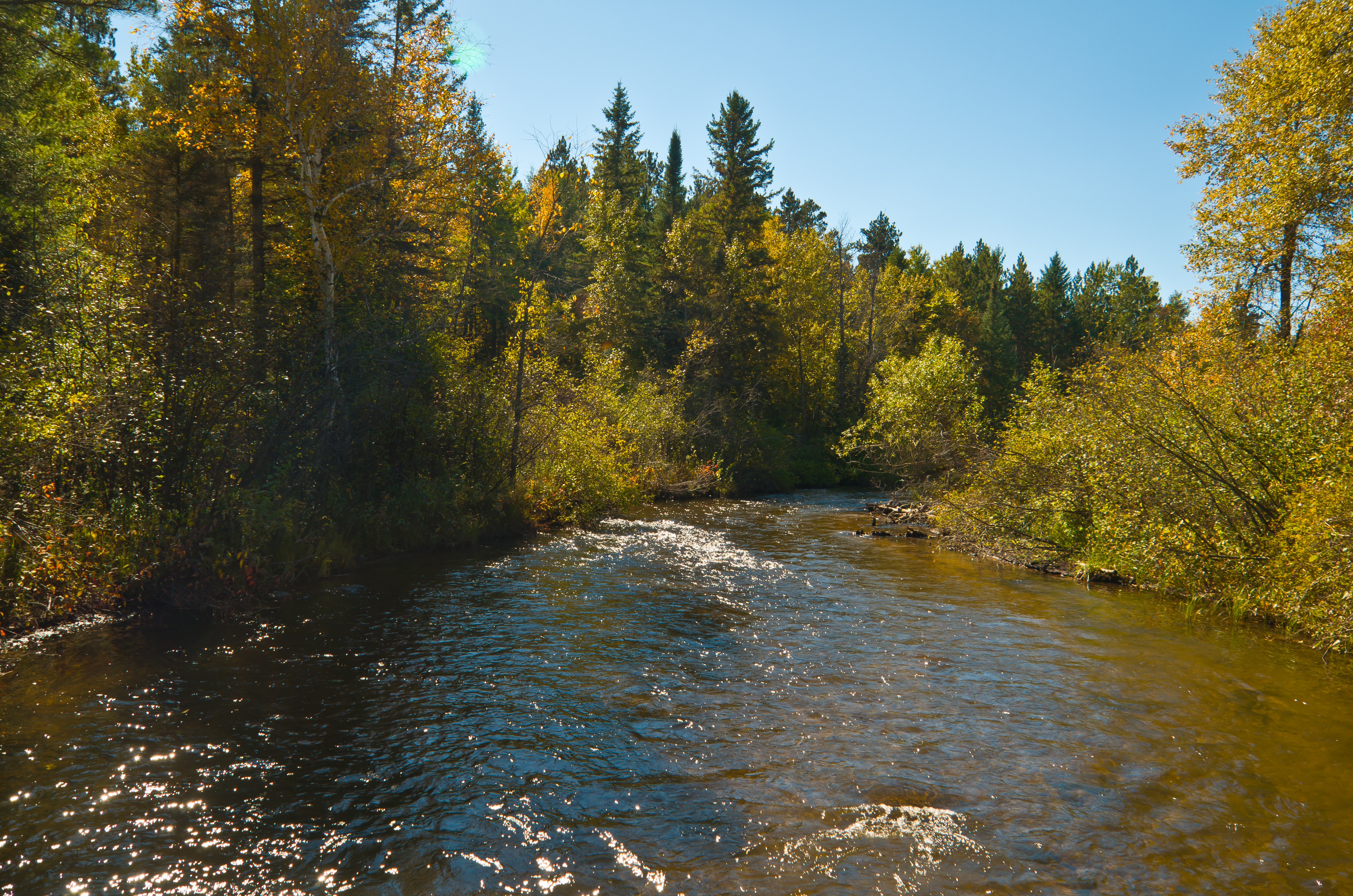
Pigeon River

fairytale-esk
the bridge at Agnes Adreae

Pidgeon River State Forest-Michigan

wolverine4.JPG

Pigeon River Habitat Initiative-11
Topographic Map of Nunda Township, MI, USA
Find elevation by address:

Places in Nunda Township, MI, USA:
Places near Nunda Township, MI, USA:
14767 Ashbrook Dr
7847 Afton Rd
Ellis Township
Afton
M-68, Afton, MI, USA
Corwith Township
Wolverine
7921 Brudy Rd
9836 Grandview Rd
13290 Friendly Dr
6447 Kimball Ct
5833 Whitehouse Trail
Koehler Township
12130 Bilder Rd
7234 Silver Lake Rd
5084 Whitehouse Trail
12625 Henry Collins Rd
250 M-33
Dover Township
481 Wildwood Trail
Recent Searches:
- Elevation of Corso Fratelli Cairoli, 35, Macerata MC, Italy
- Elevation of Tallevast Rd, Sarasota, FL, USA
- Elevation of 4th St E, Sonoma, CA, USA
- Elevation of Black Hollow Rd, Pennsdale, PA, USA
- Elevation of Oakland Ave, Williamsport, PA, USA
- Elevation of Pedrógão Grande, Portugal
- Elevation of Klee Dr, Martinsburg, WV, USA
- Elevation of Via Roma, Pieranica CR, Italy
- Elevation of Tavkvetili Mountain, Georgia
- Elevation of Hartfords Bluff Cir, Mt Pleasant, SC, USA