Elevation of Nujiang Lisu Autonomous Prefecture, Yunnan, China
Location: China > Yunnan >
Longitude: 98.8566
Latitude: 25.817555
Elevation: 905m / 2969feet
Barometric Pressure: 91KPa
Elevation Map:
Satellite Map:
Related Photos:
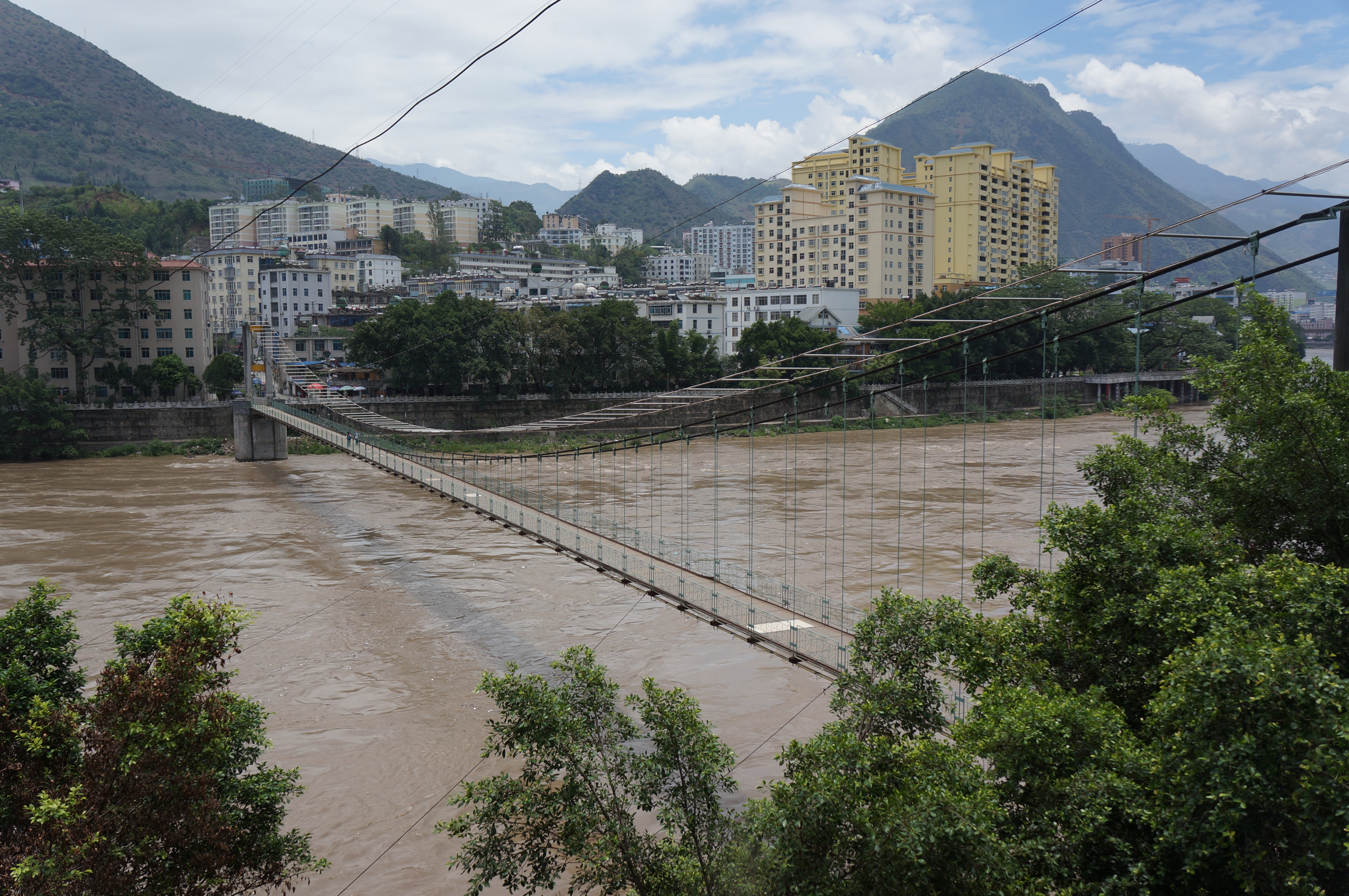
Chongyang Bridge / 重陽橋

Nu Jiang River, Yunnan

Liuku, Yunnan

Liuku, Yunnan

Liuku, Yunnan

Liuku, Yunnan

Liuku / 六庫

Church / 主恩堂

Hymn book / 詩歌集

Church / 主恩堂

Fraser alphabet / 傈僳文

Church / 主恩堂
Topographic Map of Nujiang Lisu Autonomous Prefecture, Yunnan, China
Find elevation by address:

Places near Nujiang Lisu Autonomous Prefecture, Yunnan, China:
Liukuzhen
Shangjiangzhen
Laowo Baoshan Yang Fish Shop
Pianmazhen
Caojianzhen
Mangkuanxiang
Wayaozhen
Wayaoxiang
Dapo Section
Puchang
Yongping
Liantiexiang
Recent Searches:
- Elevation of Corso Fratelli Cairoli, 35, Macerata MC, Italy
- Elevation of Tallevast Rd, Sarasota, FL, USA
- Elevation of 4th St E, Sonoma, CA, USA
- Elevation of Black Hollow Rd, Pennsdale, PA, USA
- Elevation of Oakland Ave, Williamsport, PA, USA
- Elevation of Pedrógão Grande, Portugal
- Elevation of Klee Dr, Martinsburg, WV, USA
- Elevation of Via Roma, Pieranica CR, Italy
- Elevation of Tavkvetili Mountain, Georgia
- Elevation of Hartfords Bluff Cir, Mt Pleasant, SC, USA