Elevation map of Nuflo de Chavez, Bolivia
Location: Bolivia > Santa Cruz Department >
Longitude: -62.216697
Latitude: -15.811967
Elevation: 408m / 1339feet
Barometric Pressure: 97KPa
Elevation Map:
Satellite Map:
Related Photos:
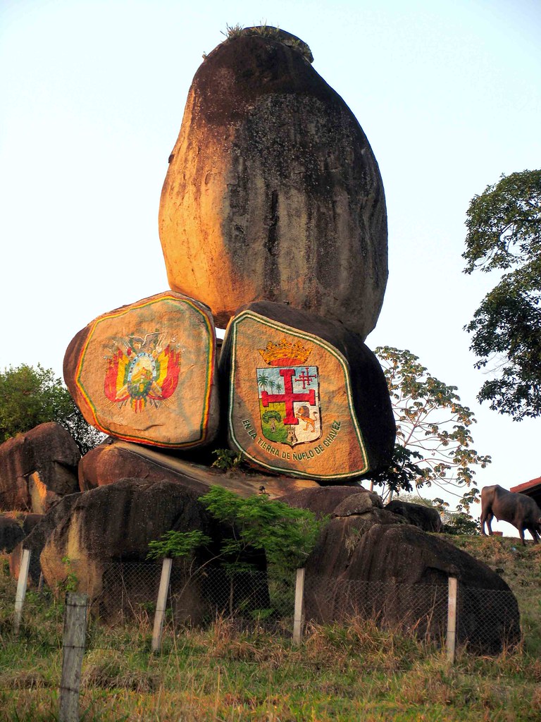
Concepción - Santa Cruz, Bolivia LAS PIEDRAS DE PAQUIÓ

San José de Chiquitos, Bolivia. Subida a mirador Ñuflo de Chávez.
Topographic Map of Nuflo de Chavez, Bolivia
Find elevation by address:

Places in Nuflo de Chavez, Bolivia:
Places near Nuflo de Chavez, Bolivia:
Recent Searches:
- Elevation of Corso Fratelli Cairoli, 35, Macerata MC, Italy
- Elevation of Tallevast Rd, Sarasota, FL, USA
- Elevation of 4th St E, Sonoma, CA, USA
- Elevation of Black Hollow Rd, Pennsdale, PA, USA
- Elevation of Oakland Ave, Williamsport, PA, USA
- Elevation of Pedrógão Grande, Portugal
- Elevation of Klee Dr, Martinsburg, WV, USA
- Elevation of Via Roma, Pieranica CR, Italy
- Elevation of Tavkvetili Mountain, Georgia
- Elevation of Hartfords Bluff Cir, Mt Pleasant, SC, USA