Elevation of NS-, Tatamagouche, NS B0K 1V0, Canada
Location: Canada > Nova Scotia > Colchester County > Colchester, Subd. B > Nuttby >
Longitude: -63.198968
Latitude: 45.5296757
Elevation: 192m / 630feet
Barometric Pressure: 99KPa
Elevation Map:
Satellite Map:
Related Photos:

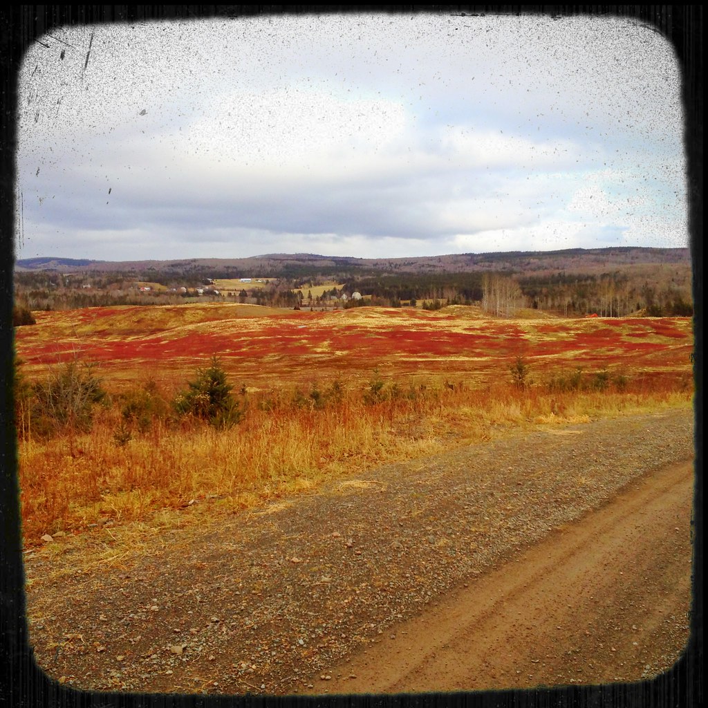
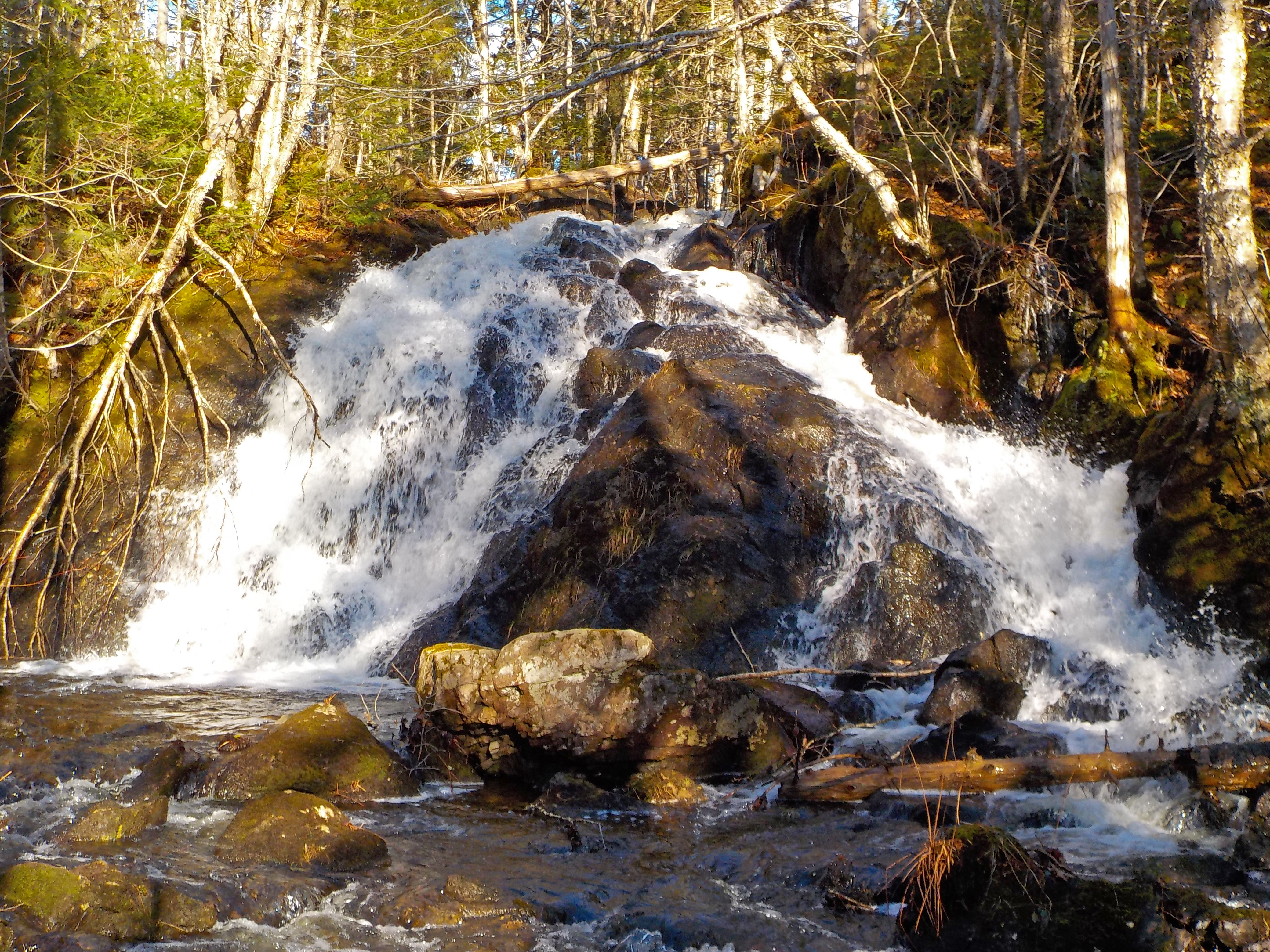
Waterfall at Earltown

Waterfall at Earltown2
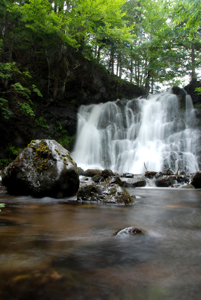
Earltown Falls in Nova Scotia
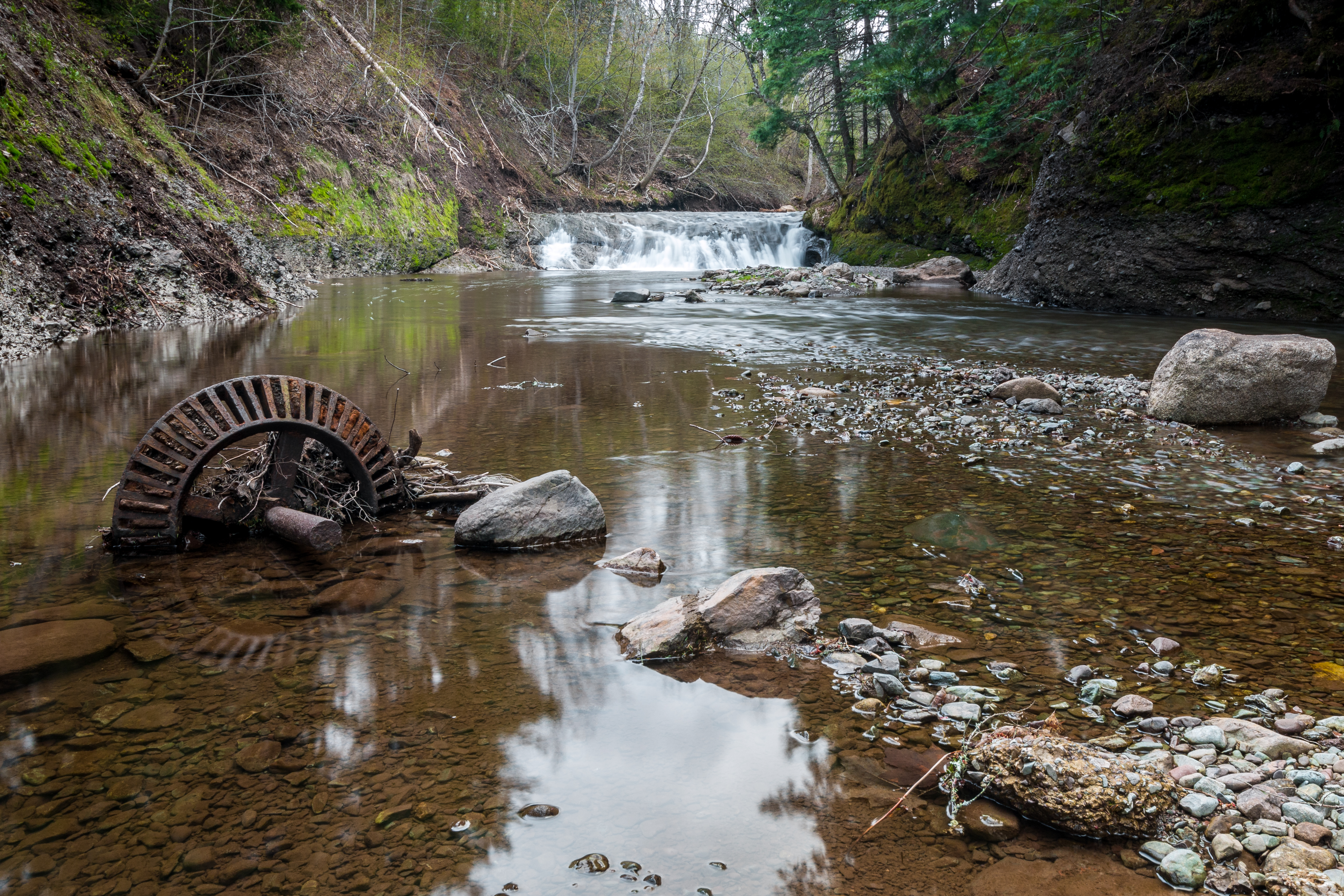
Upstream from the Mill
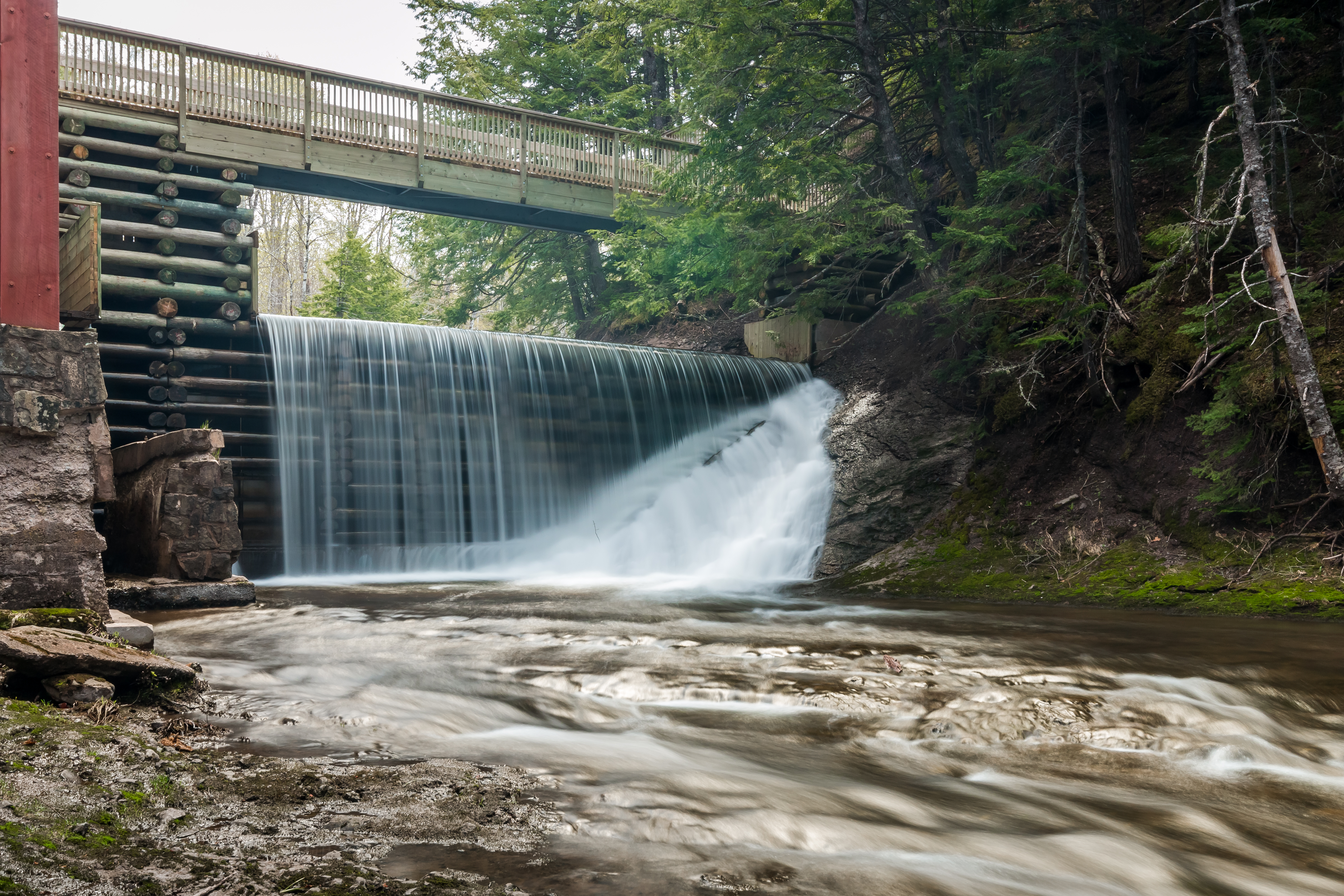
Balmoral Grist Mill
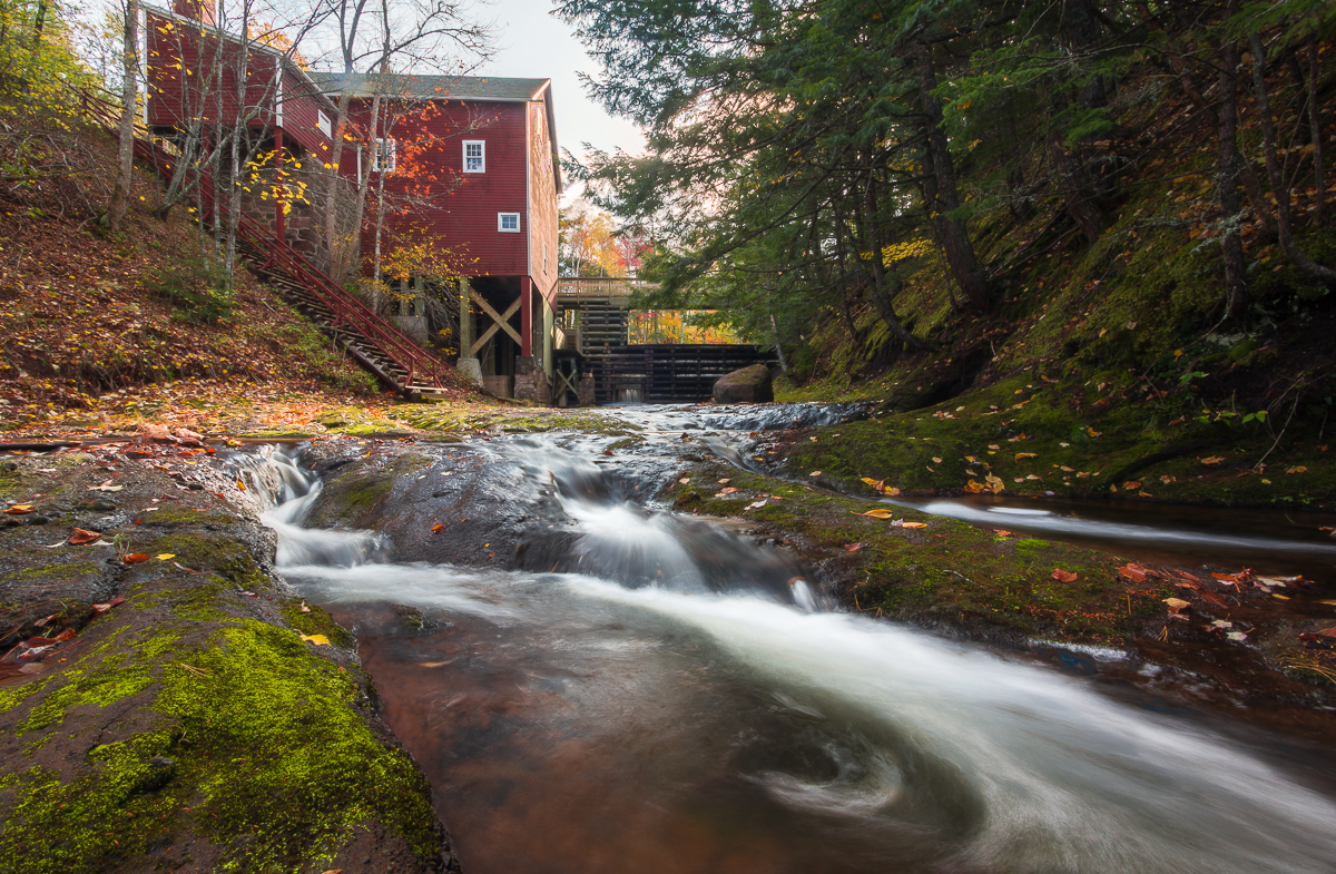
Balmoral Grist Mill

Balmoral Grist Mill
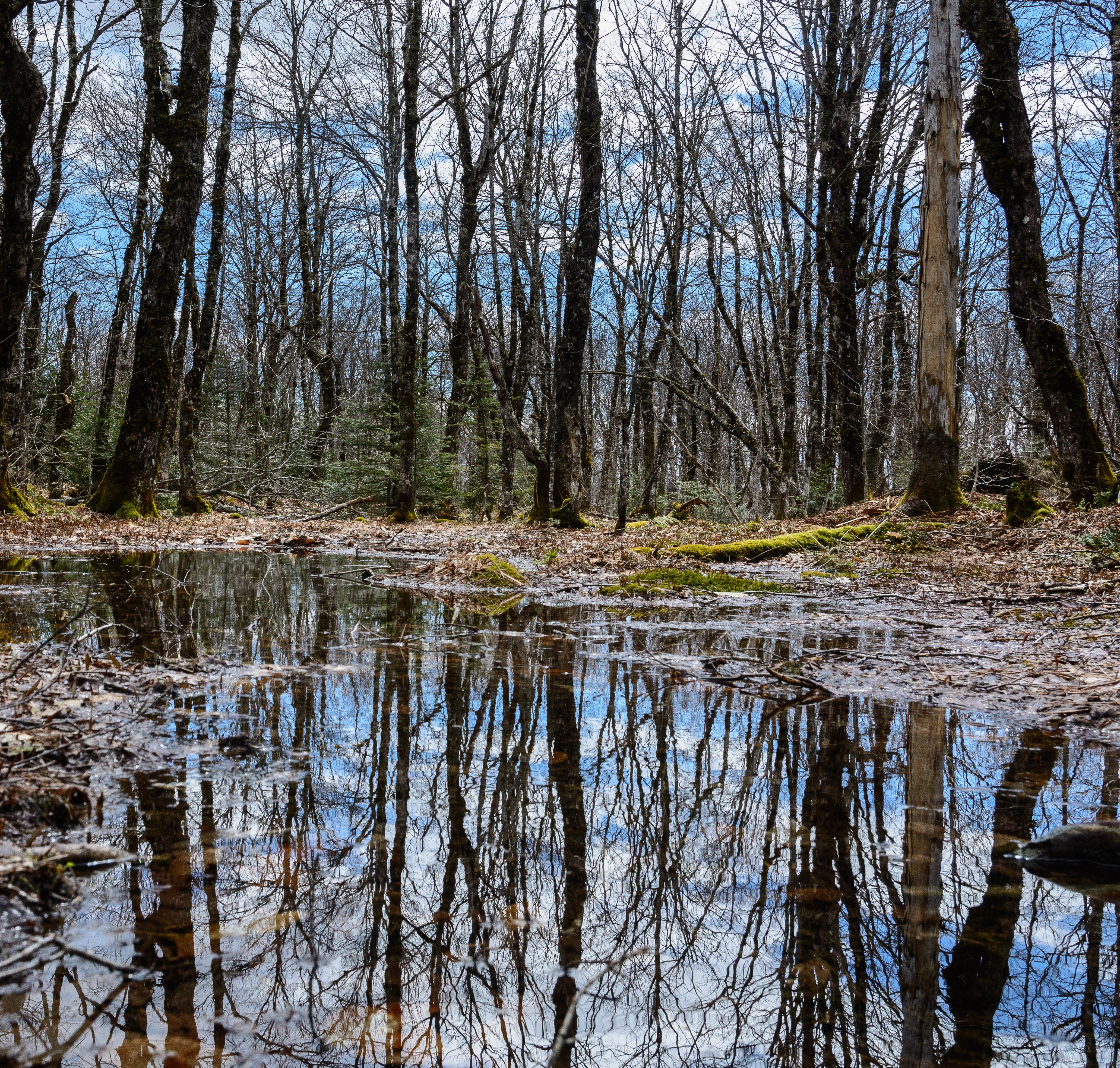
Solo adventure Saturday
_DSC4315.jpg
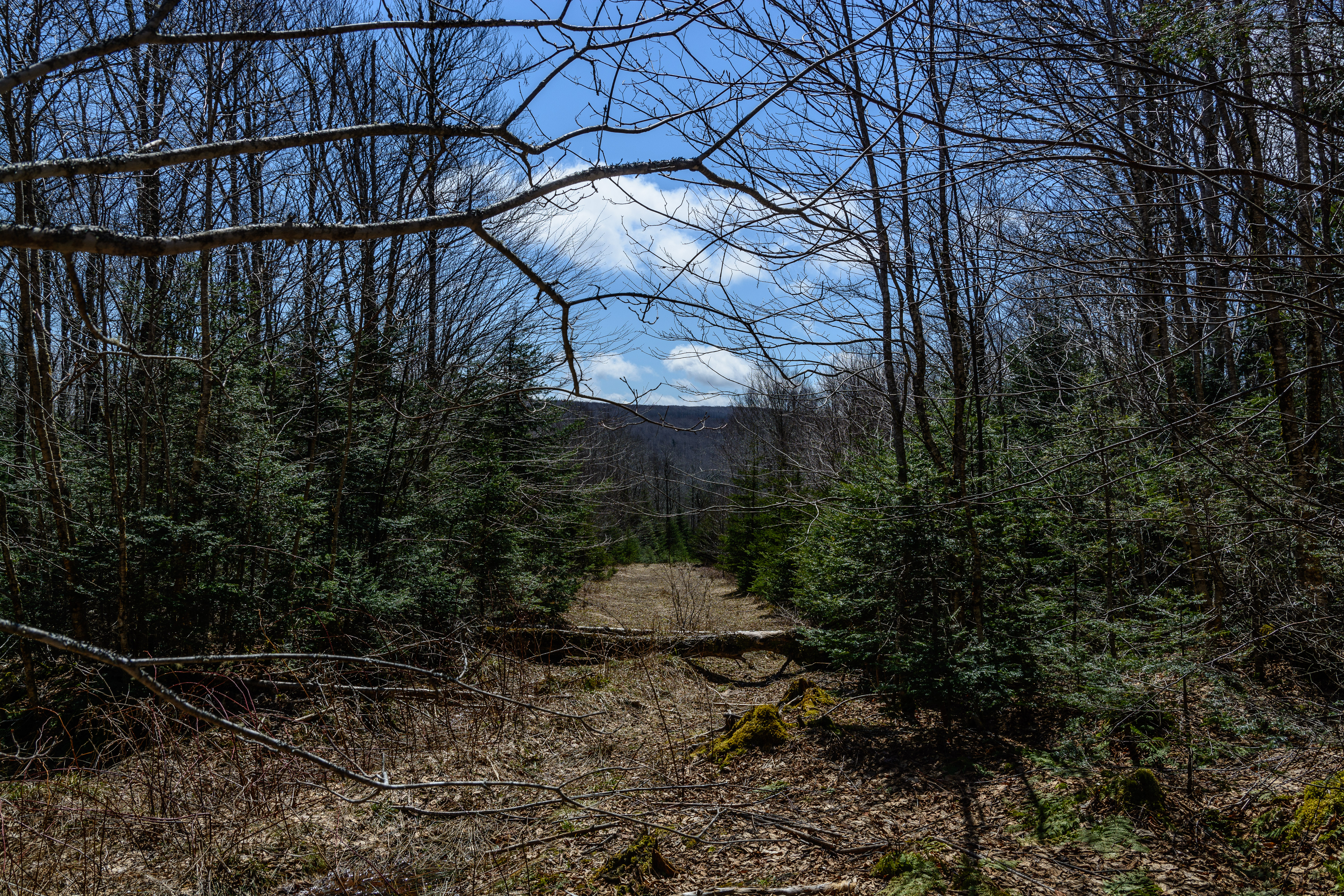
Mount Thom, Pictou County, Nova Scotia
_DSC4289.jpg
Topographic Map of NS-, Tatamagouche, NS B0K 1V0, Canada
Find elevation by address:

Places near NS-, Tatamagouche, NS B0K 1V0, Canada:
Nuttby
Nuttby Mountain
2971 Ns-311
Hobby Barn
Upper North River
Truro Rd, McCallum Settlement, NS B6L 6V5, Canada
Kemptown Road
Kemptown
The Falls
East Mountain
Upper Brookside Road
Balmoral Mills
Balmoral Rd, Tatamagouche, NS B0K 1V0, Canada
38 Eastmount Ct
North River
Matheson Brook Rd, Tatamagouche, NS B0K 1V0, Canada
1150 Pictou Rd
Upper Brookside
74 Croweland Dr
664 W North River Rd
Recent Searches:
- Elevation of Corso Fratelli Cairoli, 35, Macerata MC, Italy
- Elevation of Tallevast Rd, Sarasota, FL, USA
- Elevation of 4th St E, Sonoma, CA, USA
- Elevation of Black Hollow Rd, Pennsdale, PA, USA
- Elevation of Oakland Ave, Williamsport, PA, USA
- Elevation of Pedrógão Grande, Portugal
- Elevation of Klee Dr, Martinsburg, WV, USA
- Elevation of Via Roma, Pieranica CR, Italy
- Elevation of Tavkvetili Mountain, Georgia
- Elevation of Hartfords Bluff Cir, Mt Pleasant, SC, USA