Elevation of Northwest Harwich, Harwich, MA, USA
Location: United States > Massachusetts > Barnstable County > Harwich >
Longitude: -70.109857
Latitude: 41.68022
Elevation: 0m / 0feet
Barometric Pressure: 101KPa
Elevation Map:
Satellite Map:
Related Photos:

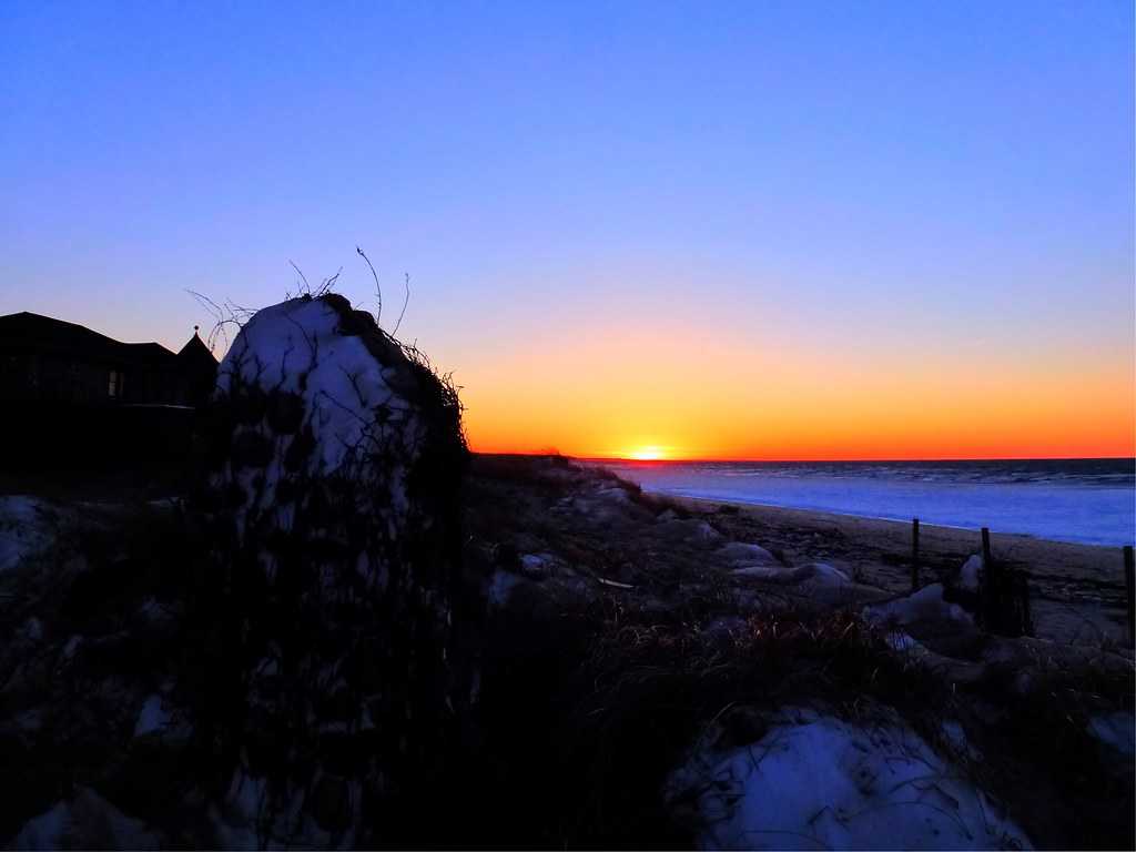
Sunset View from the Chairs II
Linger By The Beach - Explored 3/6/13

Marsh View at Sunset
Linger View
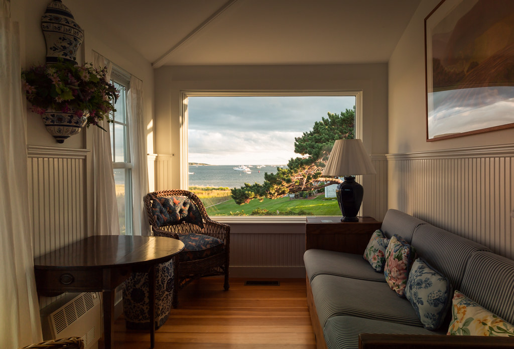
Picture Frame

Beach View
Linger By The Shore

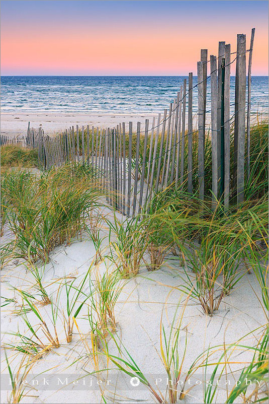
Sunset By The Dunes

Piling Reflections
Blue Morning Snow

View from the backyard
The Path to Stage Harbor Lighthouse

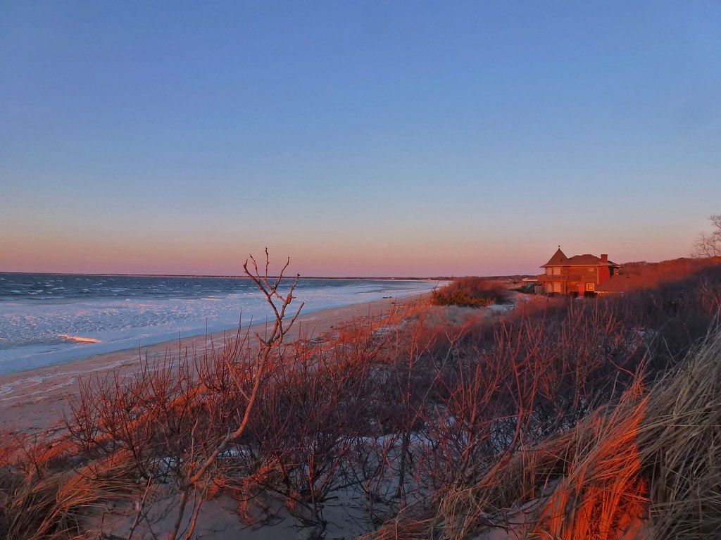
Sunset Beach View

Rainbow at Sunset [Explored 7/29/12]
Red Sky View from Grasses
Lone Tree at Sunset
Sunrise Cape Cod - Massachusetts
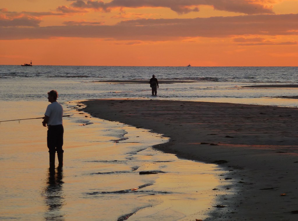
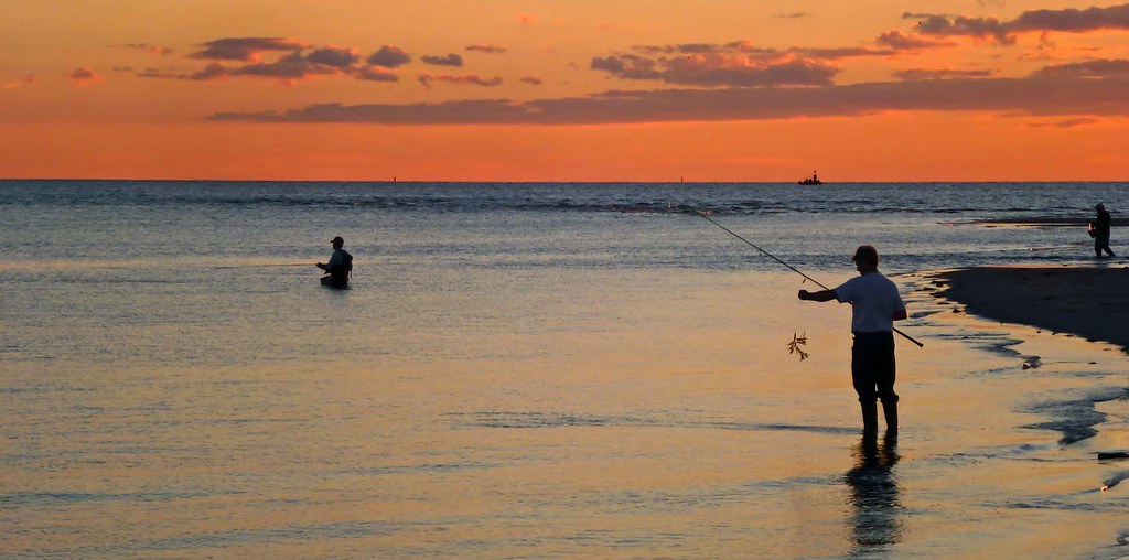
Surf Fishing at Sunset 2
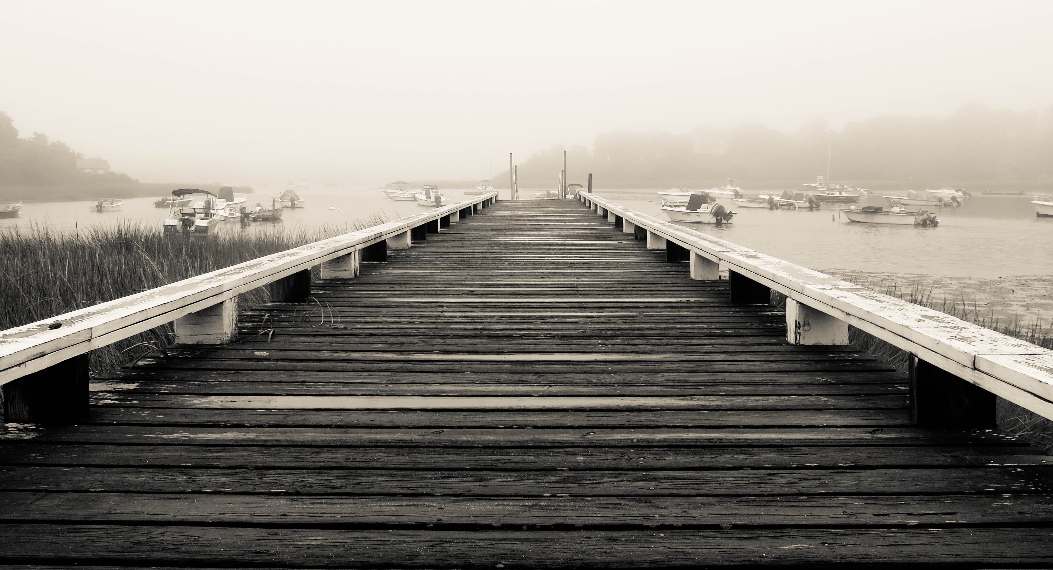
Walk The Pier To The Fog
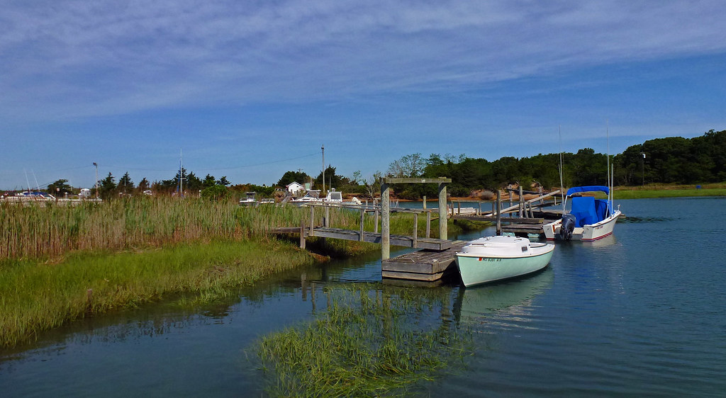
Stage Harbor Channel

Storm Damage
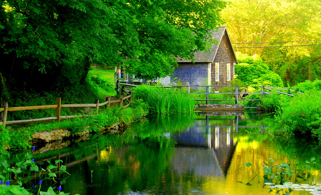
Brewster Grist Mill Cape Cod

One-Tree Bog
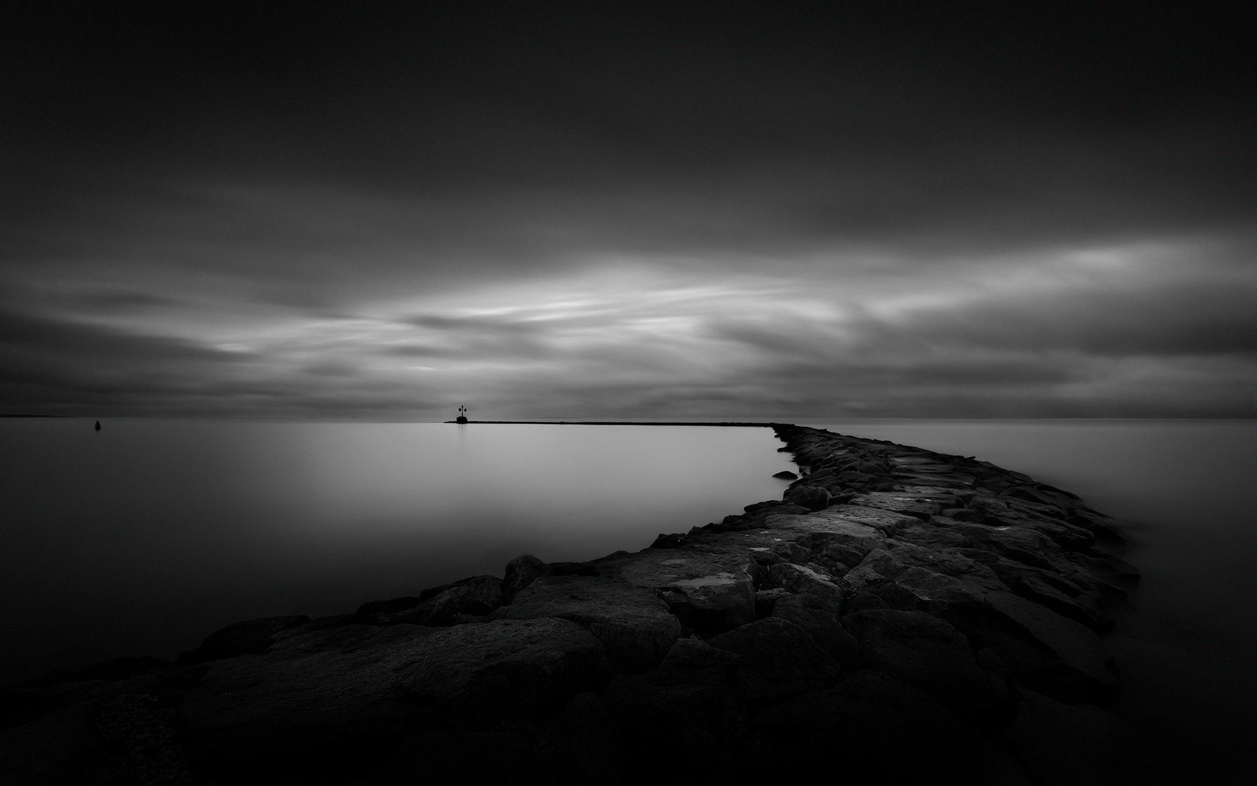
Deep Stillness (Breakwater, Harwich Port) [explored 5-Jan 2016]

Days End

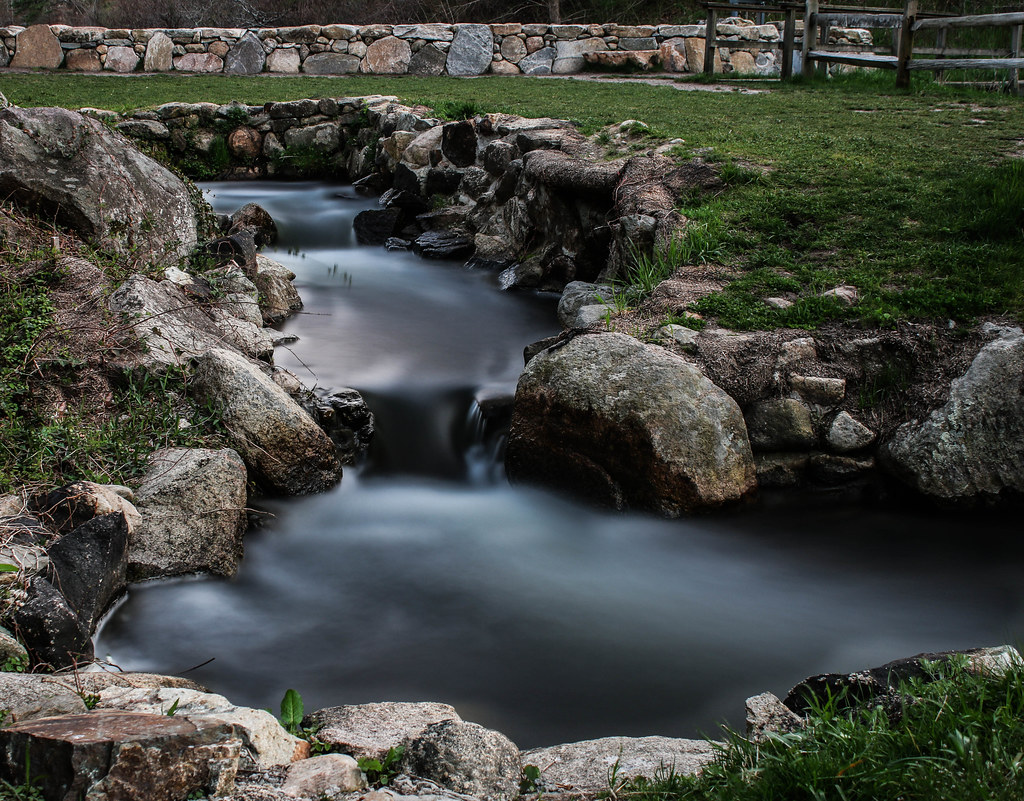
Paines Creek
Rock Harbor View
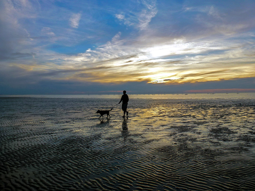
Trotting Down The Beach
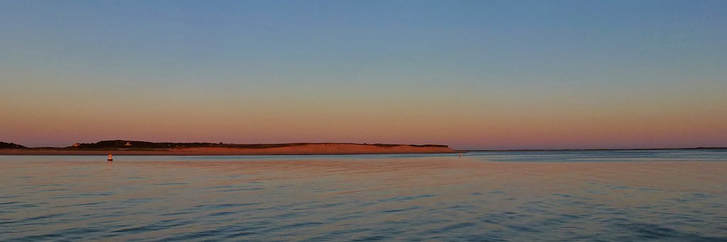
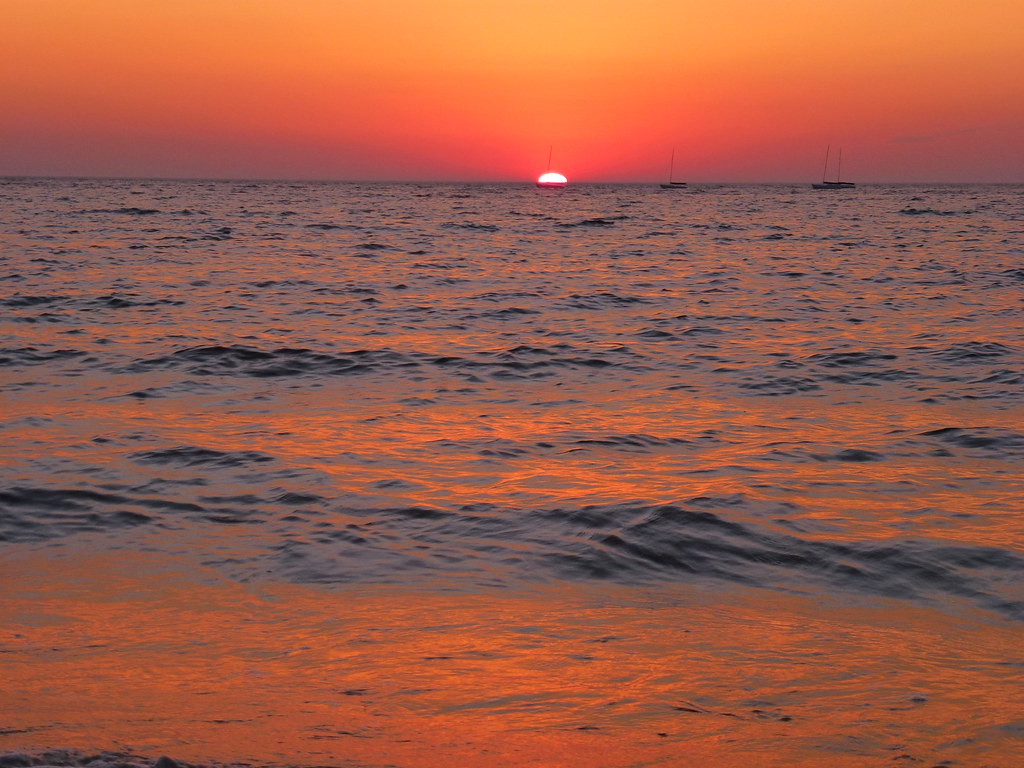
Over the Horizon
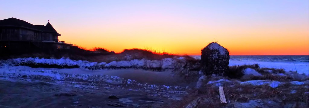
Sunset Layers
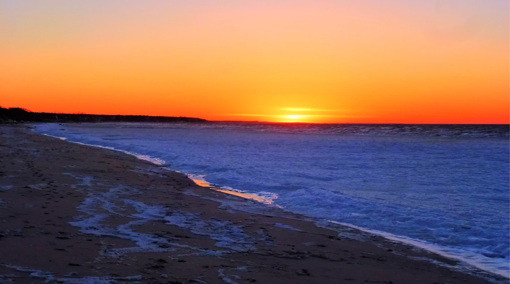
Winter Shoreline - Explored 3-5-13

Brewster Flats On A Sunny Day

Cape Cod
Herring Run - Brewster
Fisherman's Catch

Heading Home

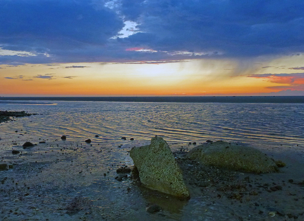
Sunset by The Rocks - Explored 3 - 2- 2013
Topographic Map of Northwest Harwich, Harwich, MA, USA
Find elevation by address:

Places near Northwest Harwich, Harwich, MA, USA:
77 Bells Neck Rd
61 Bells Neck Rd
74 Depot Rd W
231 Ma-28
32 Elinor Ln
22 Gilbert Ln
99 Grey Neck Rd
257 Ma-28
454 Main St
454 Main St
454 Main St
2 Elinor Ln
6 Terry Ln
131 Division St
112 Telegraph Rd
30 Mild Bay Cir
39 Division St
5 Canning Terrace
5 Regis Rd
490 Lower County Rd
Recent Searches:
- Elevation of Corso Fratelli Cairoli, 35, Macerata MC, Italy
- Elevation of Tallevast Rd, Sarasota, FL, USA
- Elevation of 4th St E, Sonoma, CA, USA
- Elevation of Black Hollow Rd, Pennsdale, PA, USA
- Elevation of Oakland Ave, Williamsport, PA, USA
- Elevation of Pedrógão Grande, Portugal
- Elevation of Klee Dr, Martinsburg, WV, USA
- Elevation of Via Roma, Pieranica CR, Italy
- Elevation of Tavkvetili Mountain, Georgia
- Elevation of Hartfords Bluff Cir, Mt Pleasant, SC, USA