Elevation of Northeast Spruce Drive, NE Spruce Dr, Camas, WA, USA
Location: United States > Washington > Clark County > Camas >
Longitude: -122.39037
Latitude: 45.6047284
Elevation: -10000m / -32808feet
Barometric Pressure: 295KPa
Elevation Map:
Satellite Map:
Related Photos:
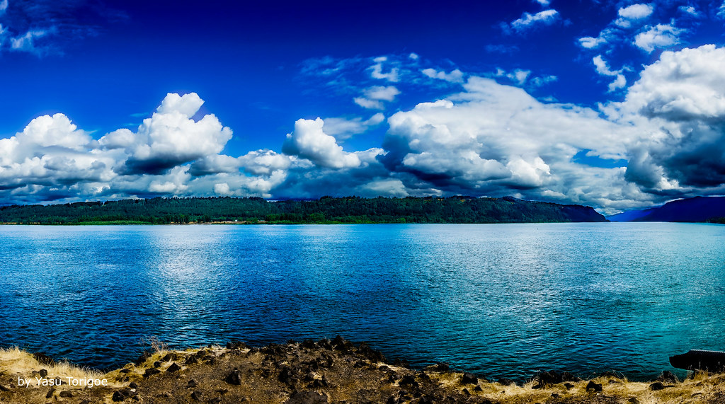
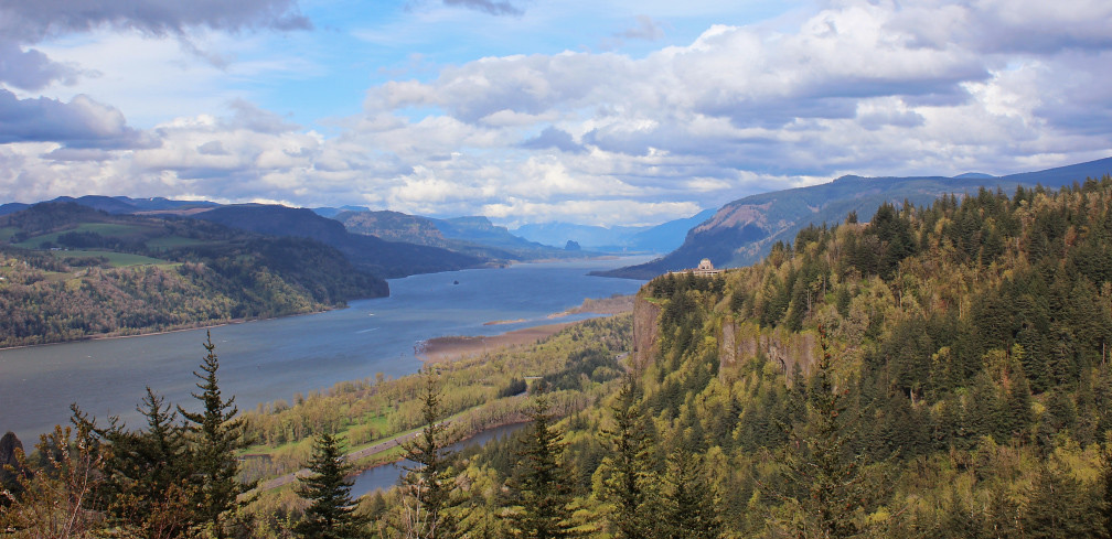
View of Columbia River Near Portland OR USA-5a
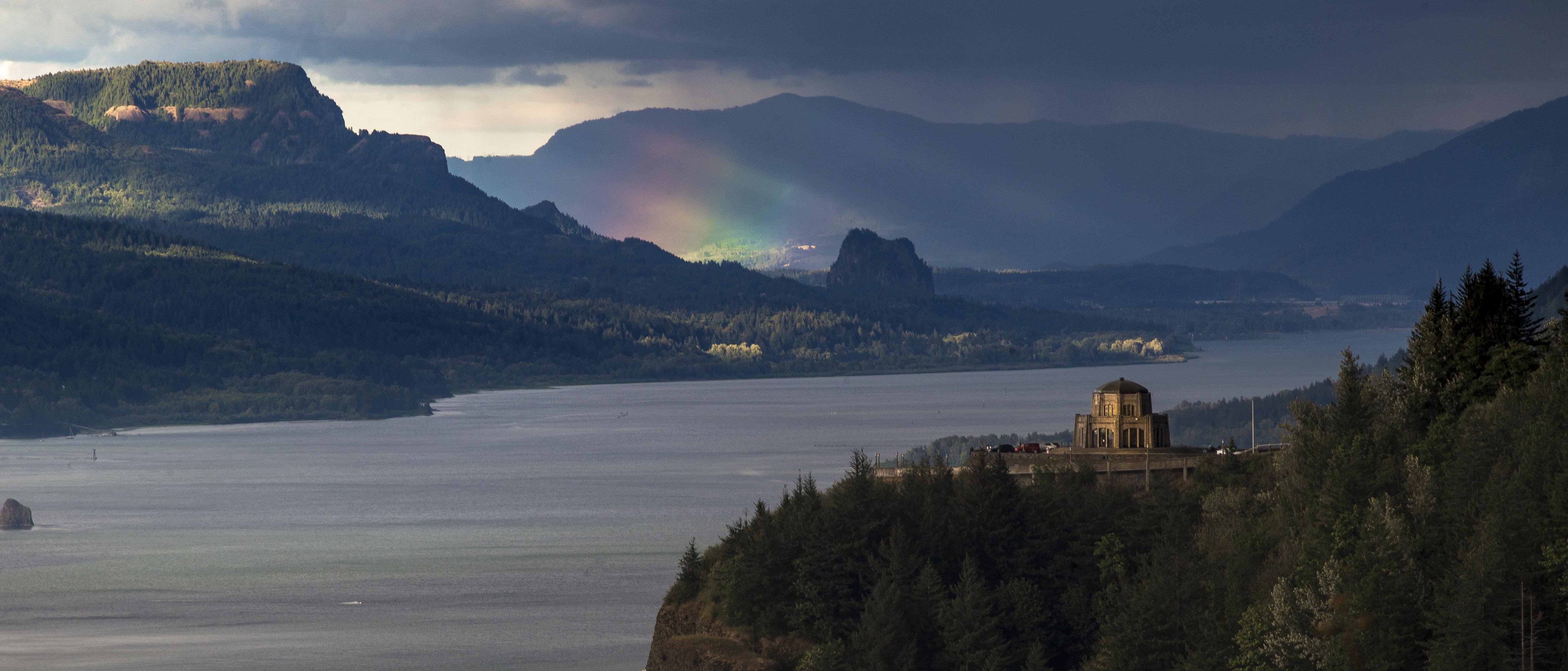
Rainbow in the Columbia River Gorge

The Columbia Gorge from Crown Point, Dec 2019

Rainy Day over the Columbia River Near Portland OR USA-7a

Rainy Day Looking Towards Latourell Fall Near Portland OR USA-6a (in Explore)

Vista House ~Oregon State ~ Columbia Gorge ~ My Old Photo

When ambition ends, happiness begins…

Vista House ~Oregon State ~ Columbia Gorge ~ My Old Photo

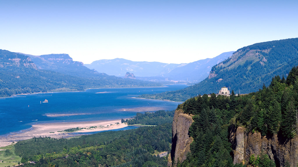
Views of the Columbia River at Chanticleer Point

From Near to Far While Taking in the Gorge

Vista House View - Historic Columbia River Highway in Autumn

Hillside After Hillside...

Views of the Columbia River at Chanticleer Point (Black & White)
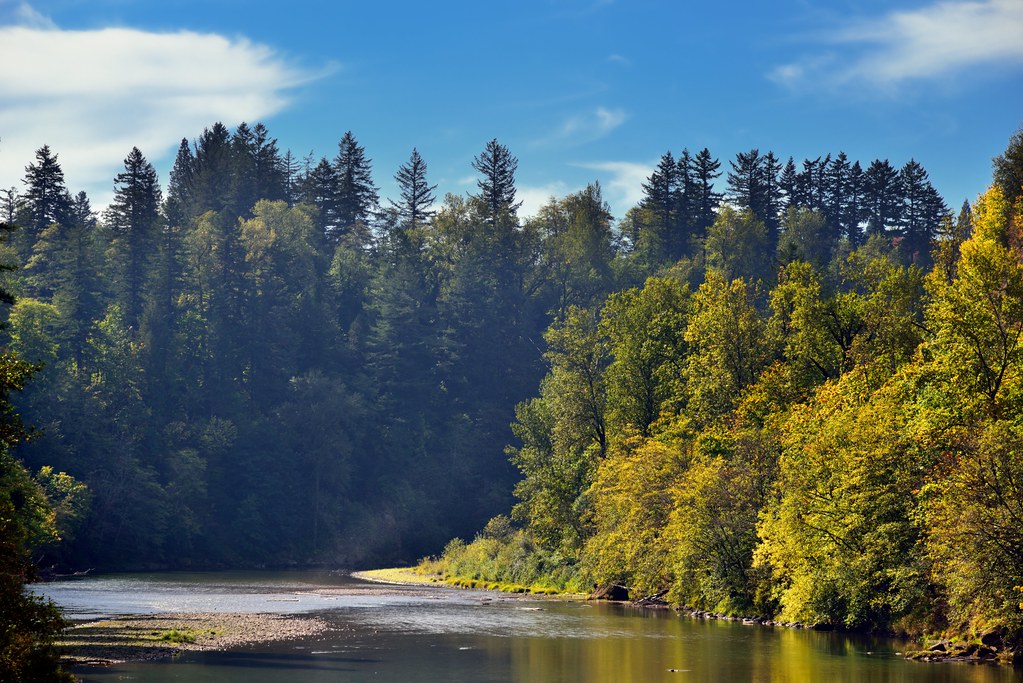
A Setting of Trees Along the Sandy River

Just living is not enough... one must have sunshine, freedom, and a little flower…

Lazuli Bunting

Columbia river gorge

Columbia River Gorge...

Vista House ~Oregon State ~ Columbia Gorge ~ My Old Photo

Crown Point and Vista House, June 2019
Rub the Sleep From Your Eyes
Columbia River Gorge

Columbia River Gorge

Crown Point
Columbia River

Washougal, Washington

Washougal, Washington

il fiume va (sa dove andare)

Washougal, Washington

Washougal, Washington

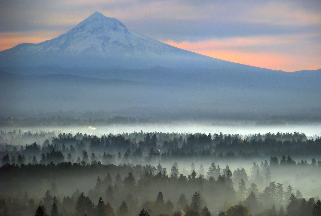
Golden Fields

Beacon Rock and Vista House

The Long Line of Latourell

Washougal, Washington

Columbia River Gorge
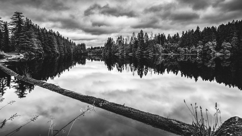
Lacamas Lake
Topographic Map of Northeast Spruce Drive, NE Spruce Dr, Camas, WA, USA
Find elevation by address:

Places near Northeast Spruce Drive, NE Spruce Dr, Camas, WA, USA:
Northeast Pioneer Street
3645 Ne Sitka Dr
3642 Ne Sitka Dr
3726 Ne Sitka Dr
1611 Ne Oriole Ct
Camas High School
3509 Ne Franklin Loop
638 Ne 22nd Ave
2525 Ne Everett St
2201 Ne Everett St
1910 Ne Everett St
Camas
2137 Ne Birch St
635 Ne 5th Ave
108 Ne 19th Ave
325 Nw 22nd Ave
311 Ne Birch St
1819 Nw Benton St
106 Nw 12th Ave
350 Nw 18th Ave
Recent Searches:
- Elevation of Corso Fratelli Cairoli, 35, Macerata MC, Italy
- Elevation of Tallevast Rd, Sarasota, FL, USA
- Elevation of 4th St E, Sonoma, CA, USA
- Elevation of Black Hollow Rd, Pennsdale, PA, USA
- Elevation of Oakland Ave, Williamsport, PA, USA
- Elevation of Pedrógão Grande, Portugal
- Elevation of Klee Dr, Martinsburg, WV, USA
- Elevation of Via Roma, Pieranica CR, Italy
- Elevation of Tavkvetili Mountain, Georgia
- Elevation of Hartfords Bluff Cir, Mt Pleasant, SC, USA