Elevation map of North Uthungulu, South Africa
Location: South Africa > Kwazulu-natal >
Longitude: 32.5372741
Latitude: -27.271857
Elevation: 84m / 276feet
Barometric Pressure: 100KPa
Elevation Map:
Satellite Map:
Related Photos:
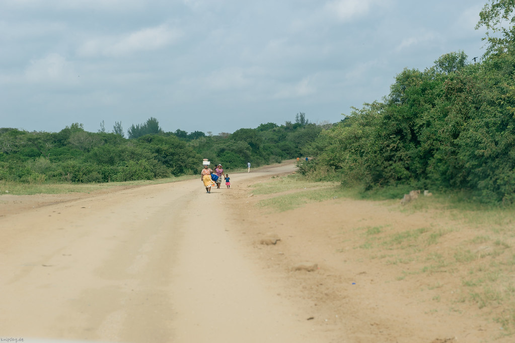
Africas way to carry

South Africa 2011-5

South Africa 2011-6

South Africa 2011-7
Barfuss am Strand

RSA_4322 - um
Topographic Map of North Uthungulu, South Africa
Find elevation by address:

Places in North Uthungulu, South Africa:
Places near North Uthungulu, South Africa:
Recent Searches:
- Elevation of Corso Fratelli Cairoli, 35, Macerata MC, Italy
- Elevation of Tallevast Rd, Sarasota, FL, USA
- Elevation of 4th St E, Sonoma, CA, USA
- Elevation of Black Hollow Rd, Pennsdale, PA, USA
- Elevation of Oakland Ave, Williamsport, PA, USA
- Elevation of Pedrógão Grande, Portugal
- Elevation of Klee Dr, Martinsburg, WV, USA
- Elevation of Via Roma, Pieranica CR, Italy
- Elevation of Tavkvetili Mountain, Georgia
- Elevation of Hartfords Bluff Cir, Mt Pleasant, SC, USA