Elevation of North Shore, ON, Canada
Location: Canada > Ontario > Algoma District >
Longitude: -82.698668
Latitude: 46.2255512
Elevation: 247m / 810feet
Barometric Pressure: 98KPa
Elevation Map:
Satellite Map:
Related Photos:
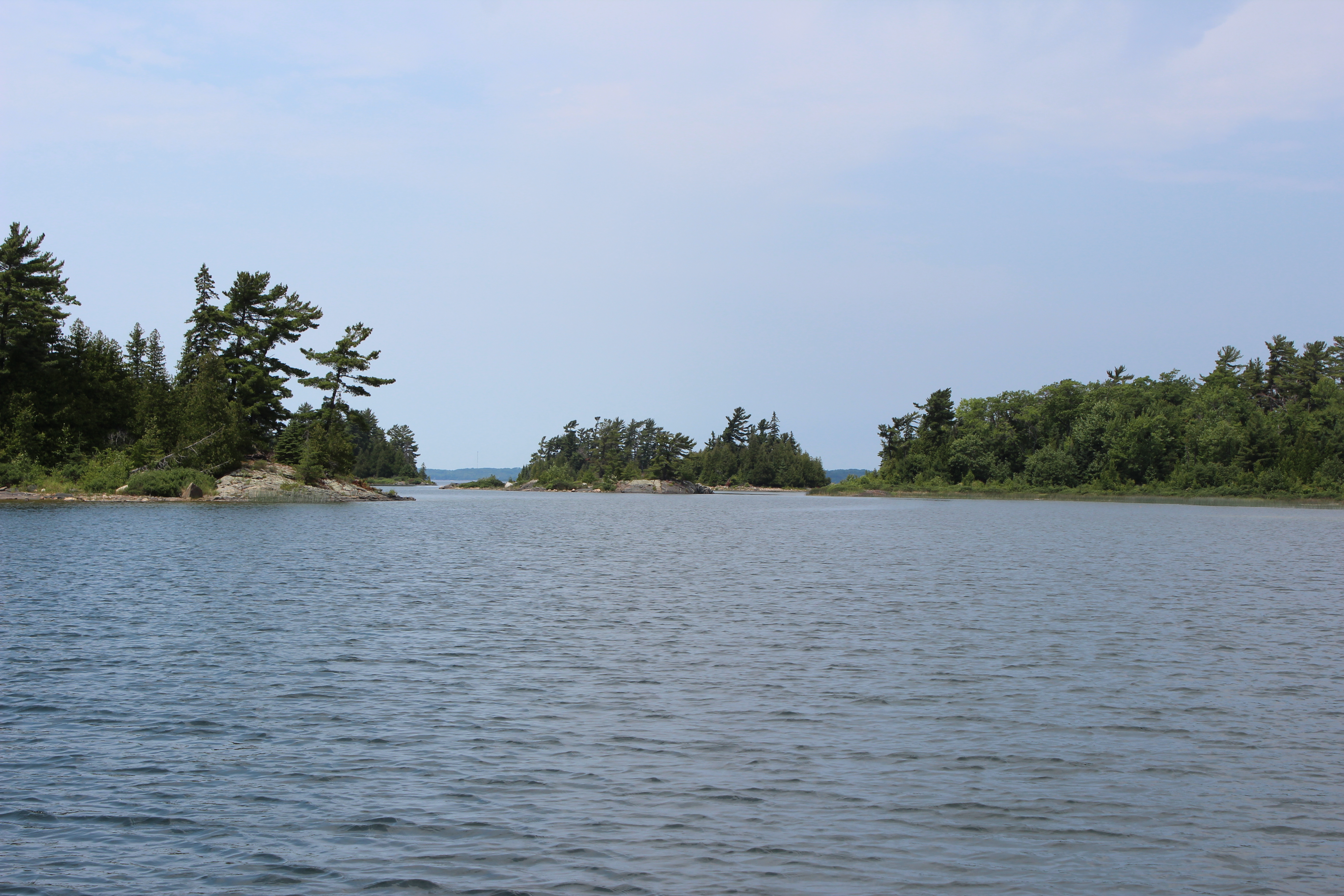
Turnbull Island

Motel 3-D ::: HDR/Raw CrossView Stereoscopy

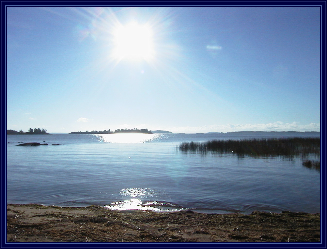
Beardrop Harbor
october - bootleggers bay

Beardrop Harbor

Long Point Cove picking blueberries

Long Point Cove

Beardrop Denny and Sharon
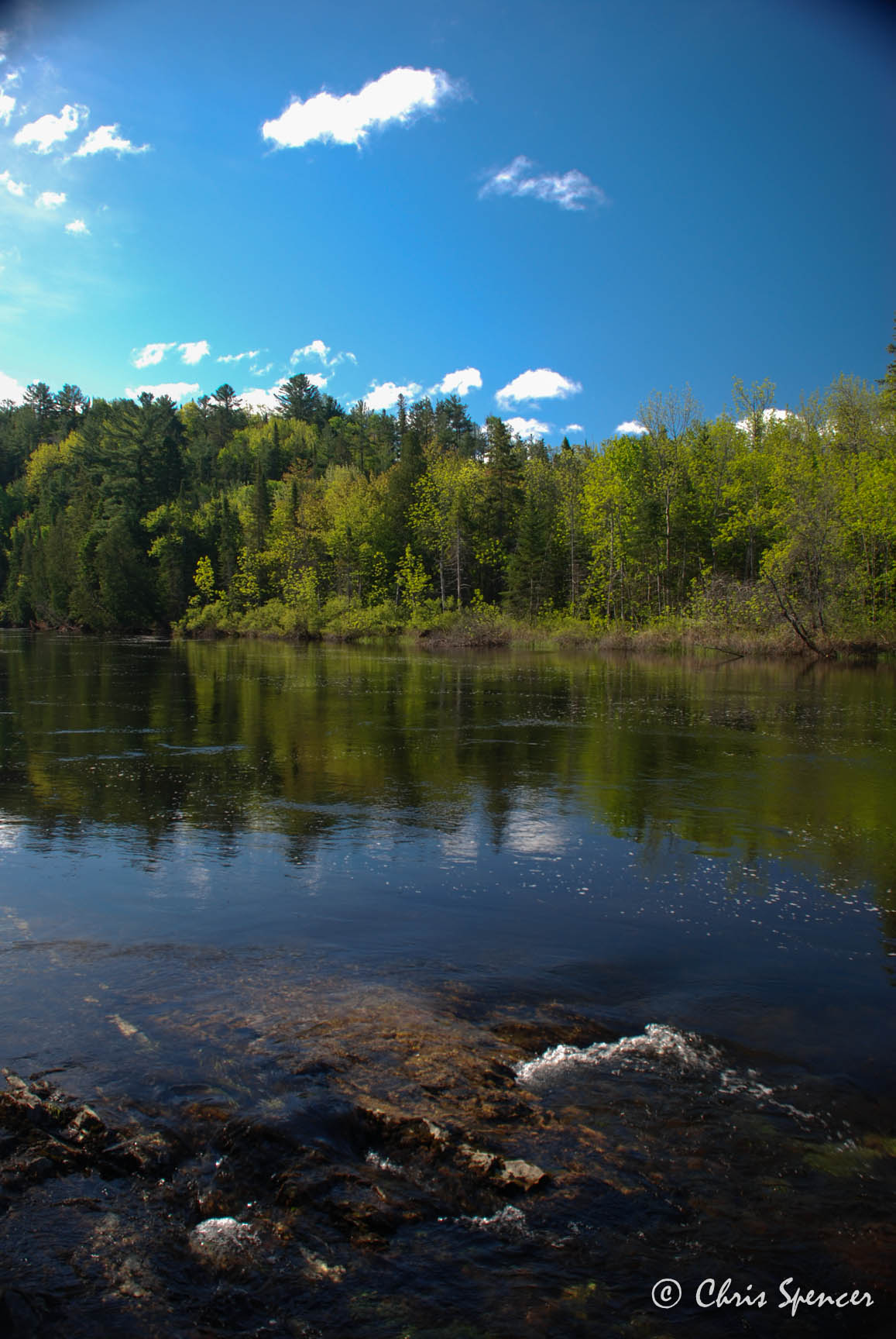
Serpent River
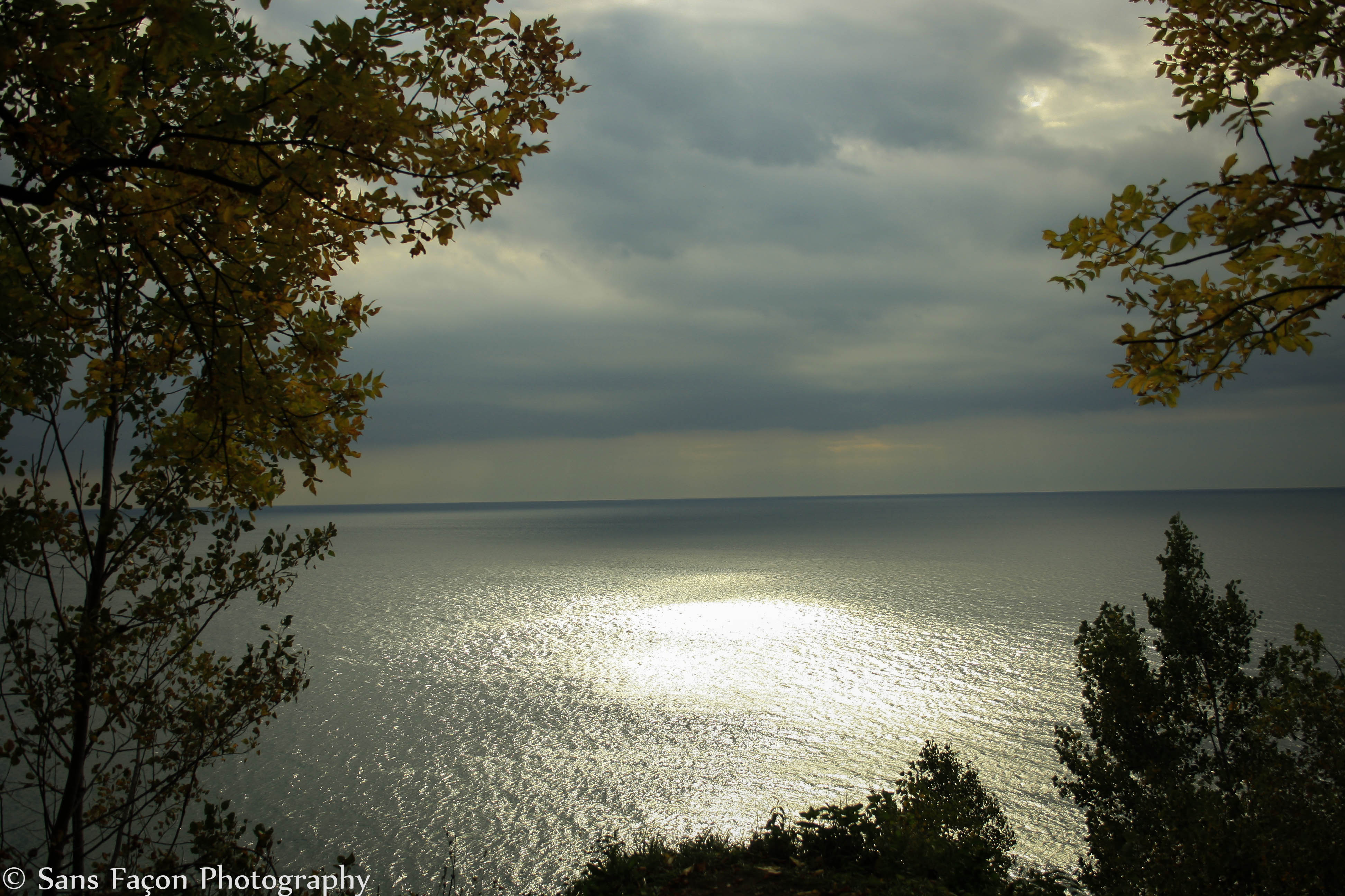
Fall by the Bluffs
Topographic Map of North Shore, ON, Canada
Find elevation by address:

Places in North Shore, ON, Canada:
Spragge
Vivian Blvd, Blind River, ON P0R 1B0, Canada
Mel Lake Rd, Blind River, ON P0R 1B0, Canada
P0r 1a0
Algoma Mills
Places near North Shore, ON, Canada:
Short St, Spragge, ON P0R 1K0, Canada
Long St, Spragge, ON P0R 1K0, Canada
Spragge
Vivian Blvd, Blind River, ON P0R 1B0, Canada
1015 Hwy 17
P0r 1a0
Algoma Mills
Serpent River
Mel Lake Rd, Blind River, ON P0R 1B0, Canada
64 Axmith Ave
1 Washington Crescent
Bouck Road
89 Farquhar Pl
Elliot Lake
P0r 1b0
Blind River
Brennan Harbour Rd, Spanish, ON P0P 2A0, Canada
Spanish
69 Colonization Rd, Serpent River, ON P0P 1V0, Canada
John Street
Recent Searches:
- Elevation of Corso Fratelli Cairoli, 35, Macerata MC, Italy
- Elevation of Tallevast Rd, Sarasota, FL, USA
- Elevation of 4th St E, Sonoma, CA, USA
- Elevation of Black Hollow Rd, Pennsdale, PA, USA
- Elevation of Oakland Ave, Williamsport, PA, USA
- Elevation of Pedrógão Grande, Portugal
- Elevation of Klee Dr, Martinsburg, WV, USA
- Elevation of Via Roma, Pieranica CR, Italy
- Elevation of Tavkvetili Mountain, Georgia
- Elevation of Hartfords Bluff Cir, Mt Pleasant, SC, USA