Elevation of North Rustico, PE, Canada
Location: Canada > Prince Edward Island > Queens County >
Longitude: -63.393629
Latitude: 46.4850694
Elevation: 30m / 98feet
Barometric Pressure: 101KPa
Elevation Map:
Satellite Map:
Related Photos:

Quintessential North Shore PEI - HDR
View from our cottage.

Milton enjoying the view.

Prince Edward Island
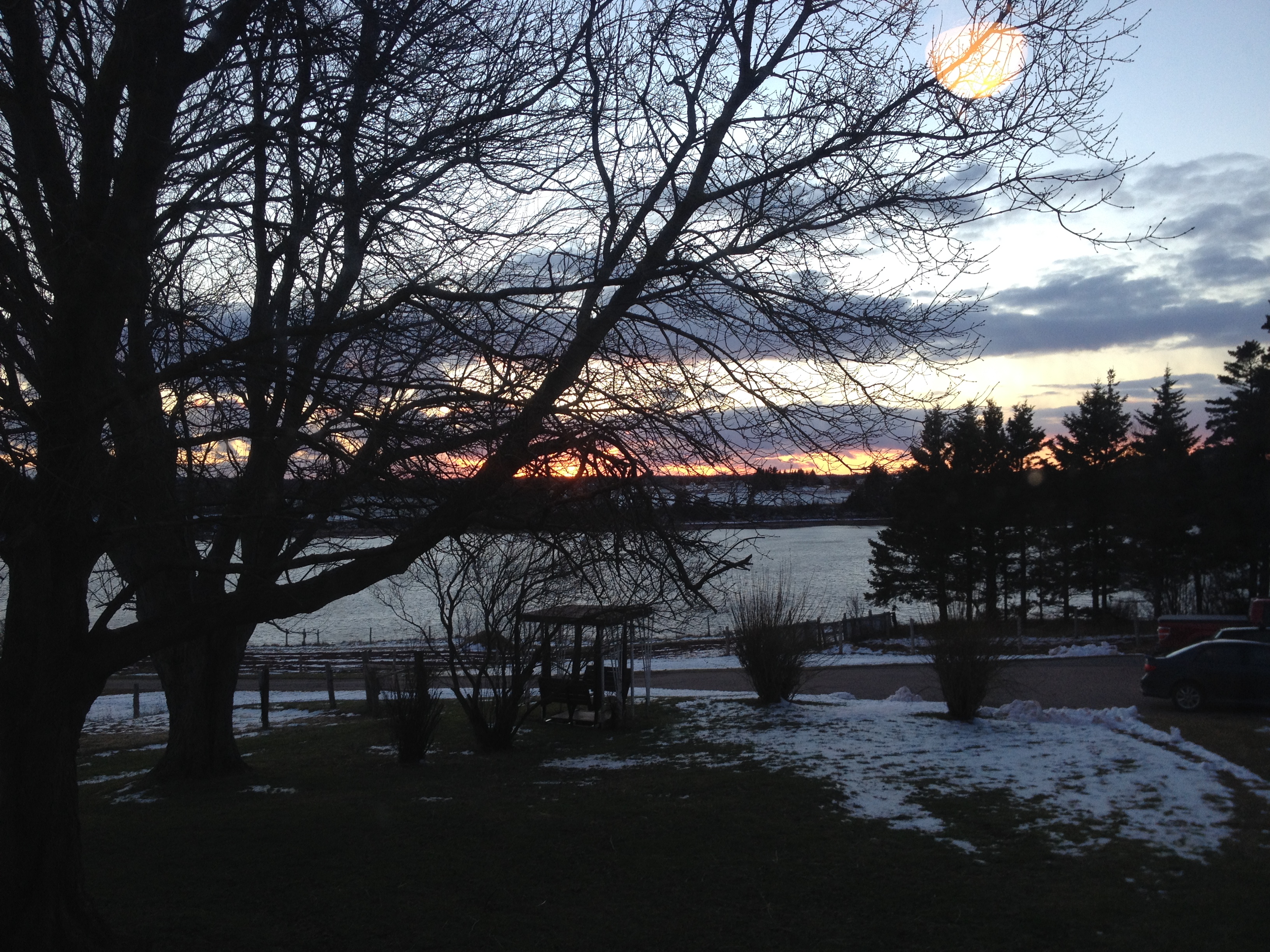
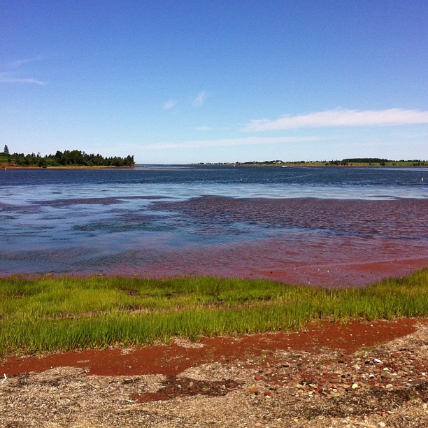
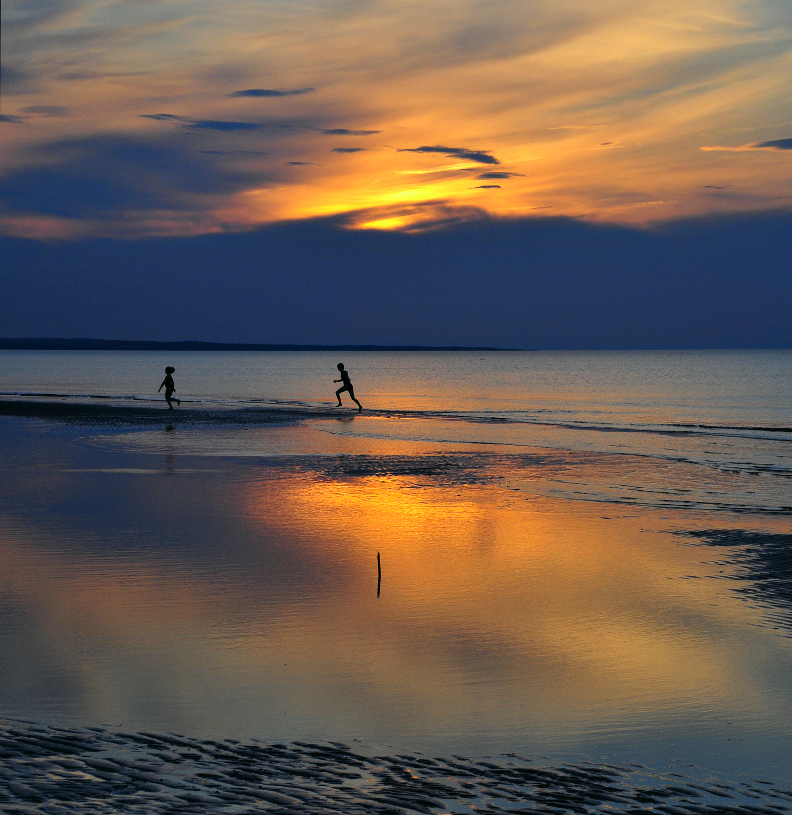
View of New London Bay at sunset.

View of New London Bay from the bridge on the Homestead Trail.
View from Homestead Trail.
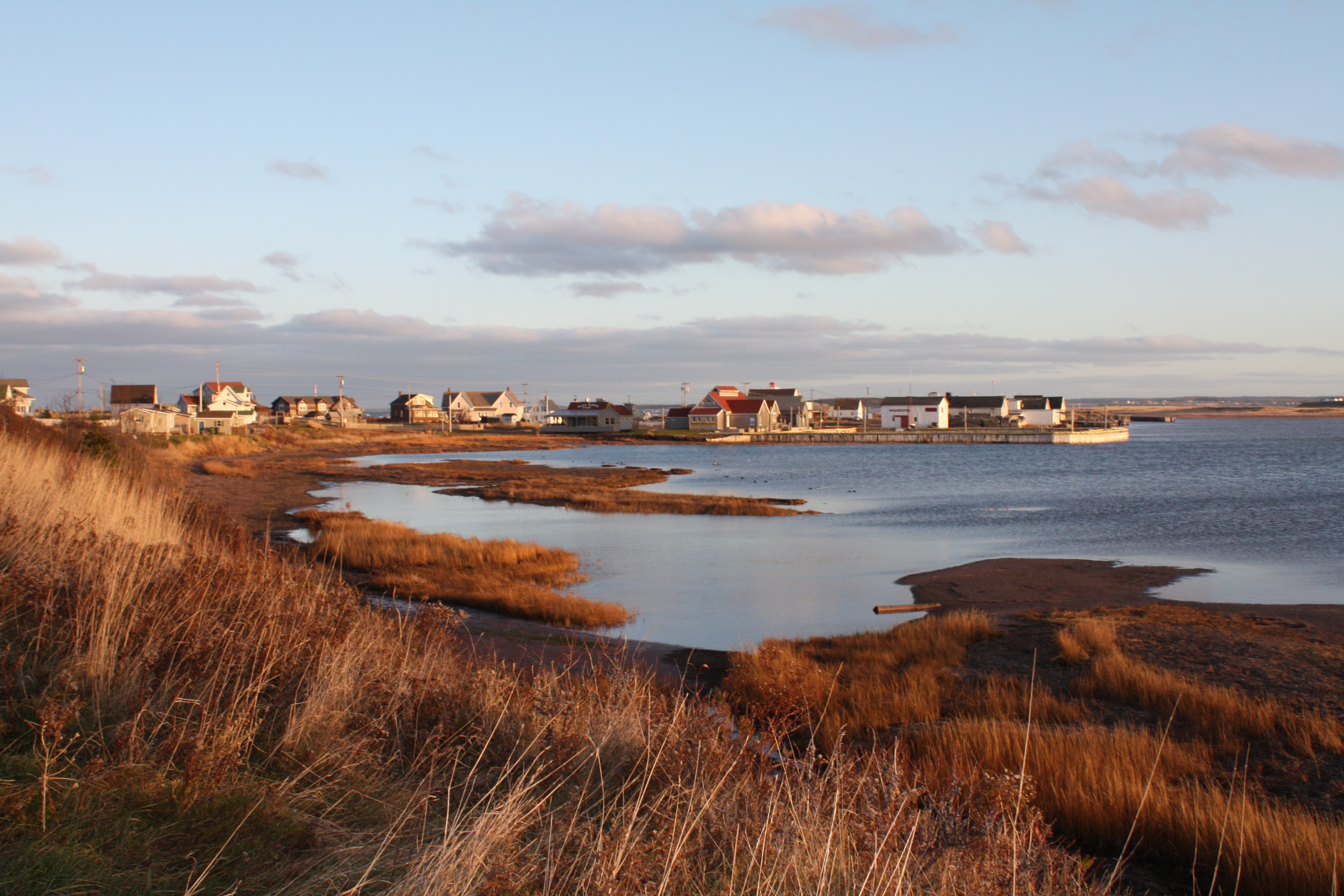
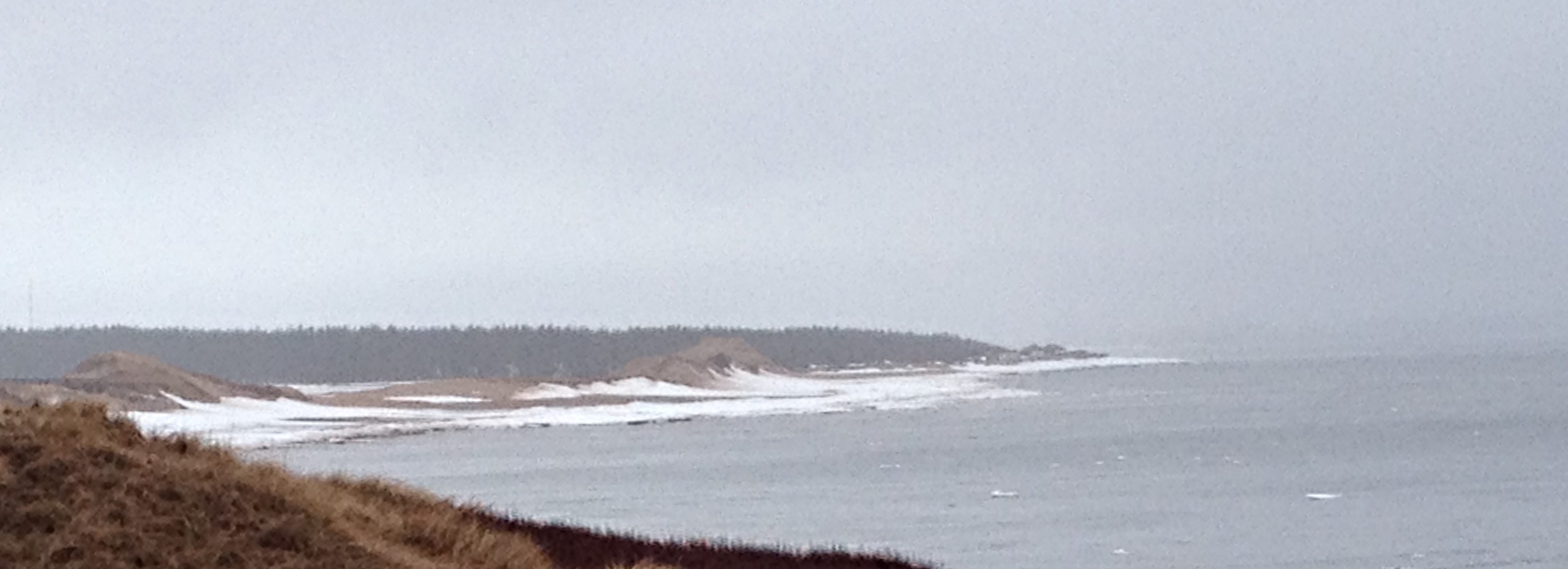
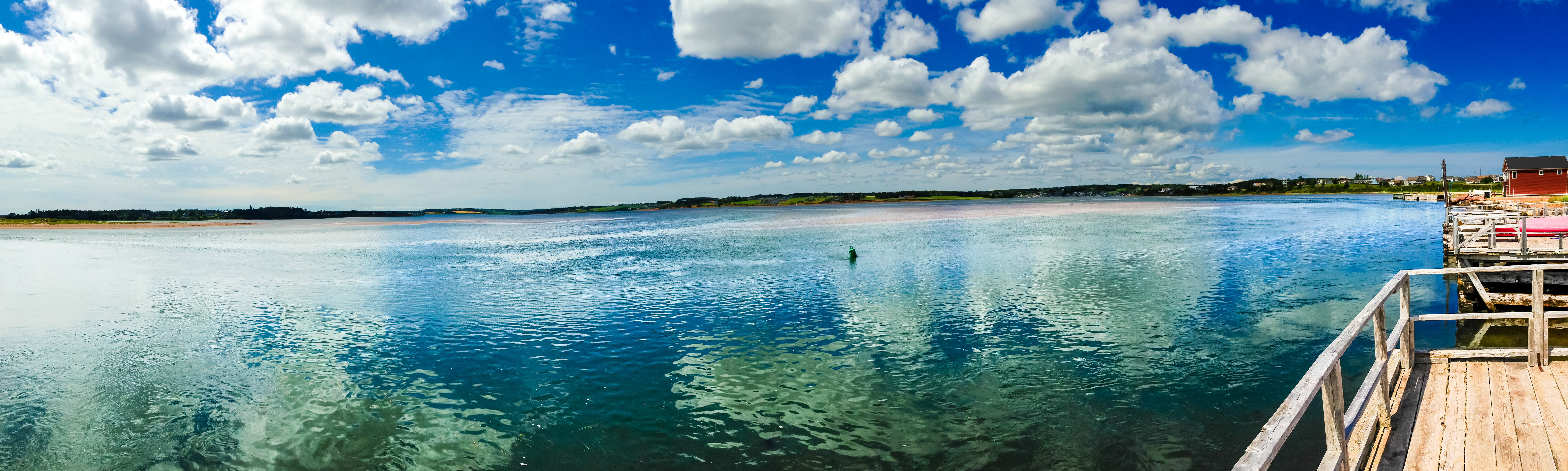
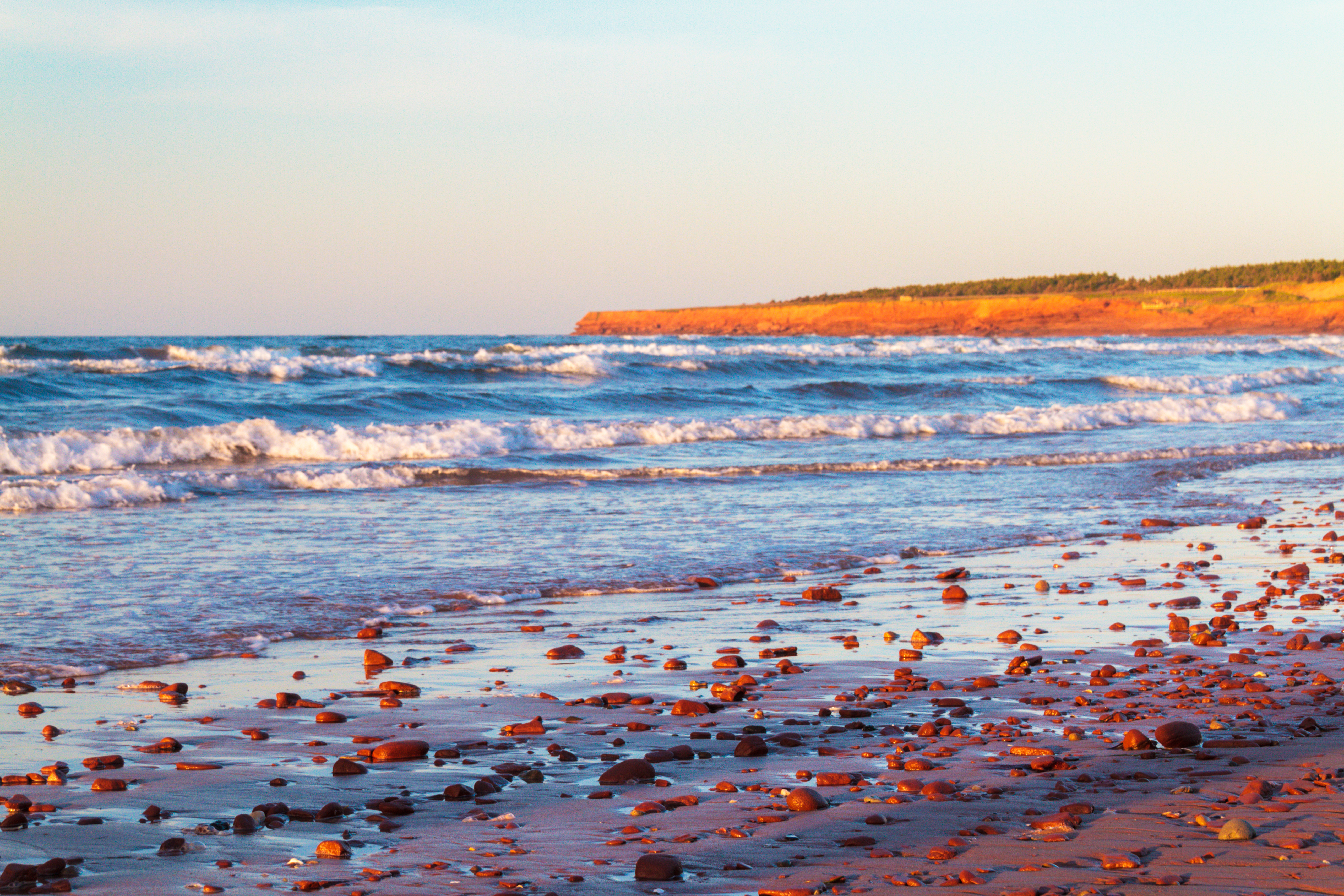
North Rustico, PEI

Brackley Beach, PEI National Park - HDR
A closer view of Cavendish Beach.
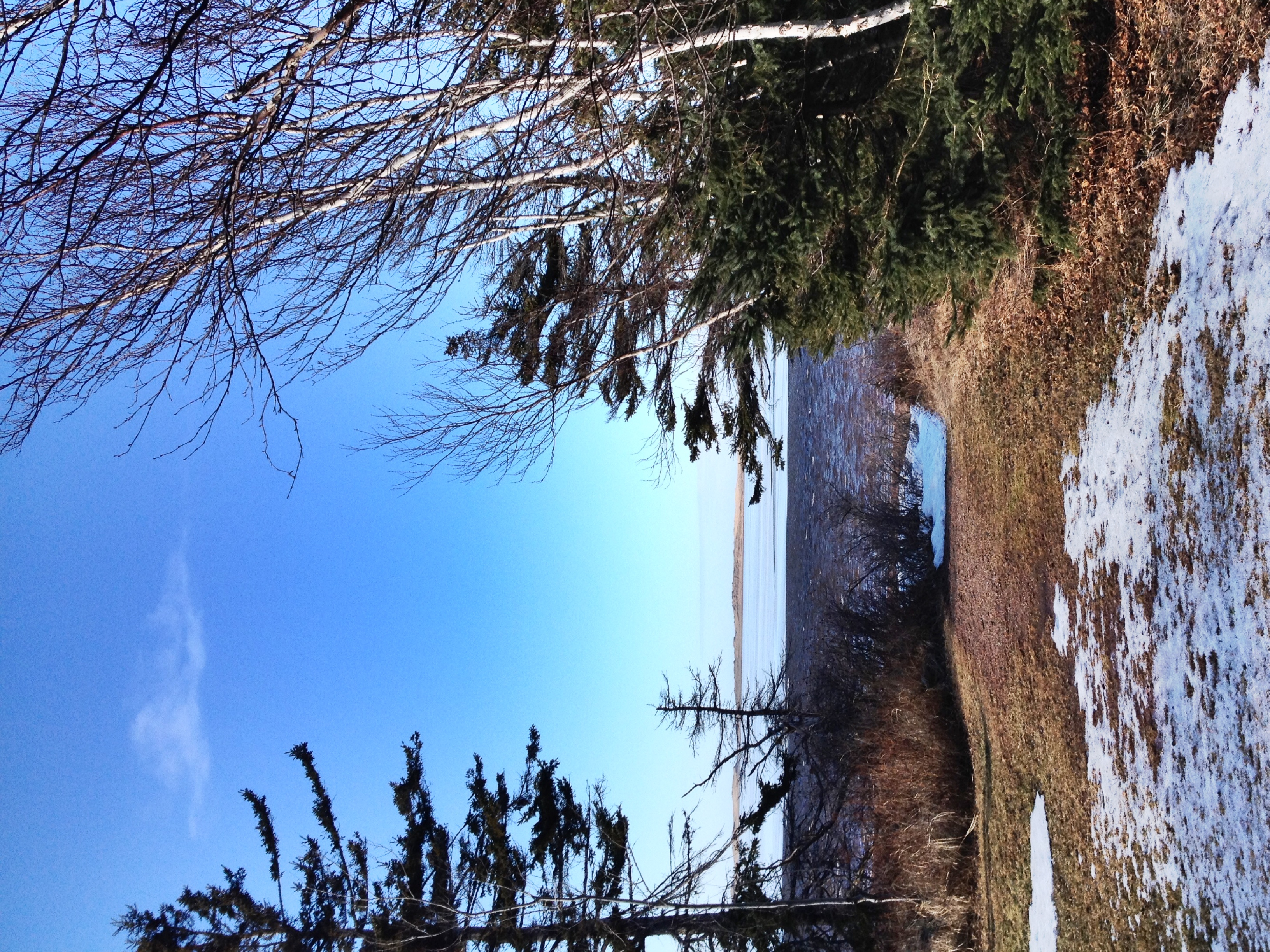
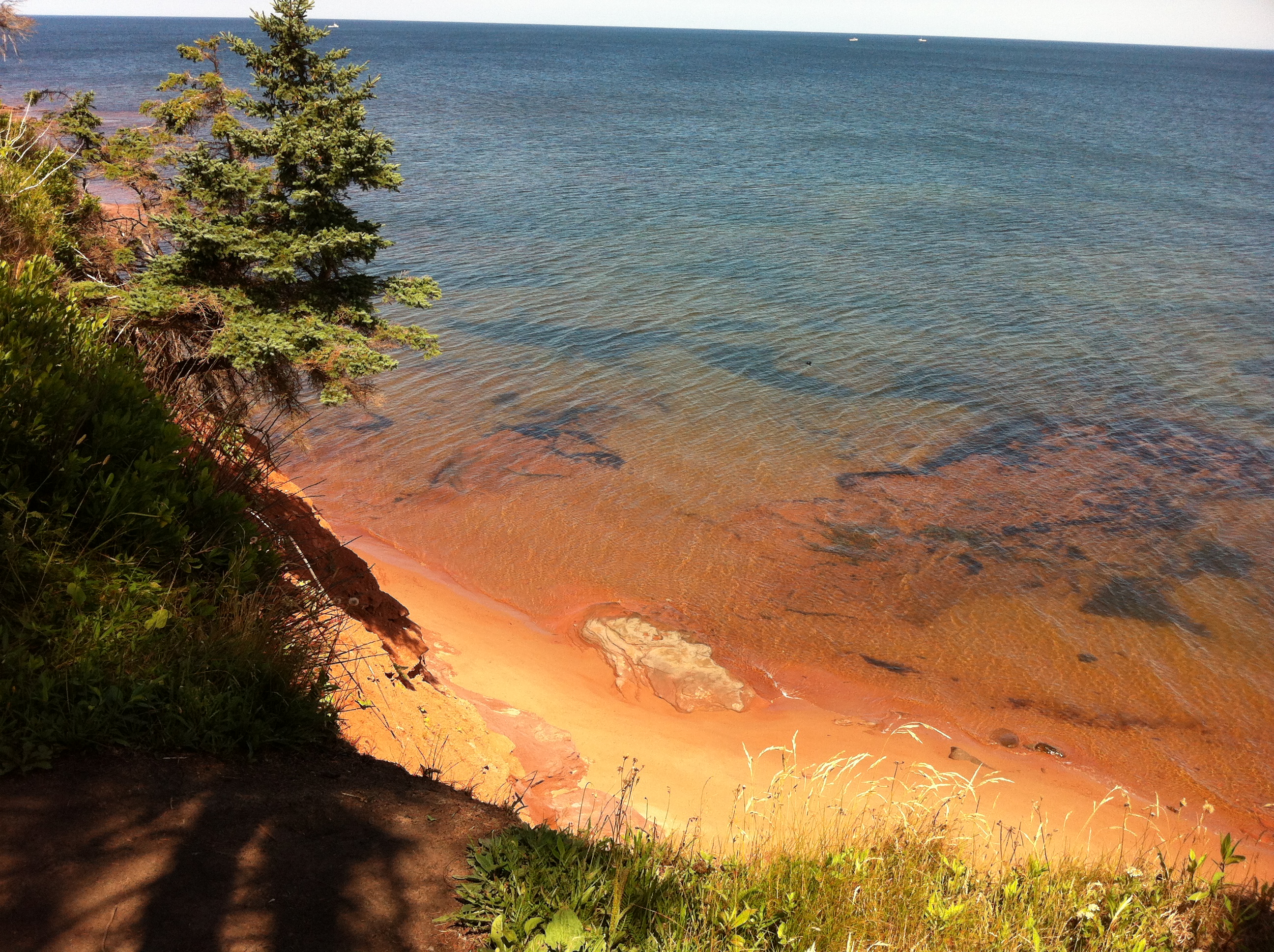
View toward French River.

Another view of the beach.
View towards Spring Brook.
The view off the back deck of the random lunch spot we stopped at on our third year anniversary day. Blown away by the sights on no filter island! #PEI #Gorgeous #BaySide #SeaSide #LocalFlavours #Love #Year4Ever

View of the bay from Bruce's gazebo.

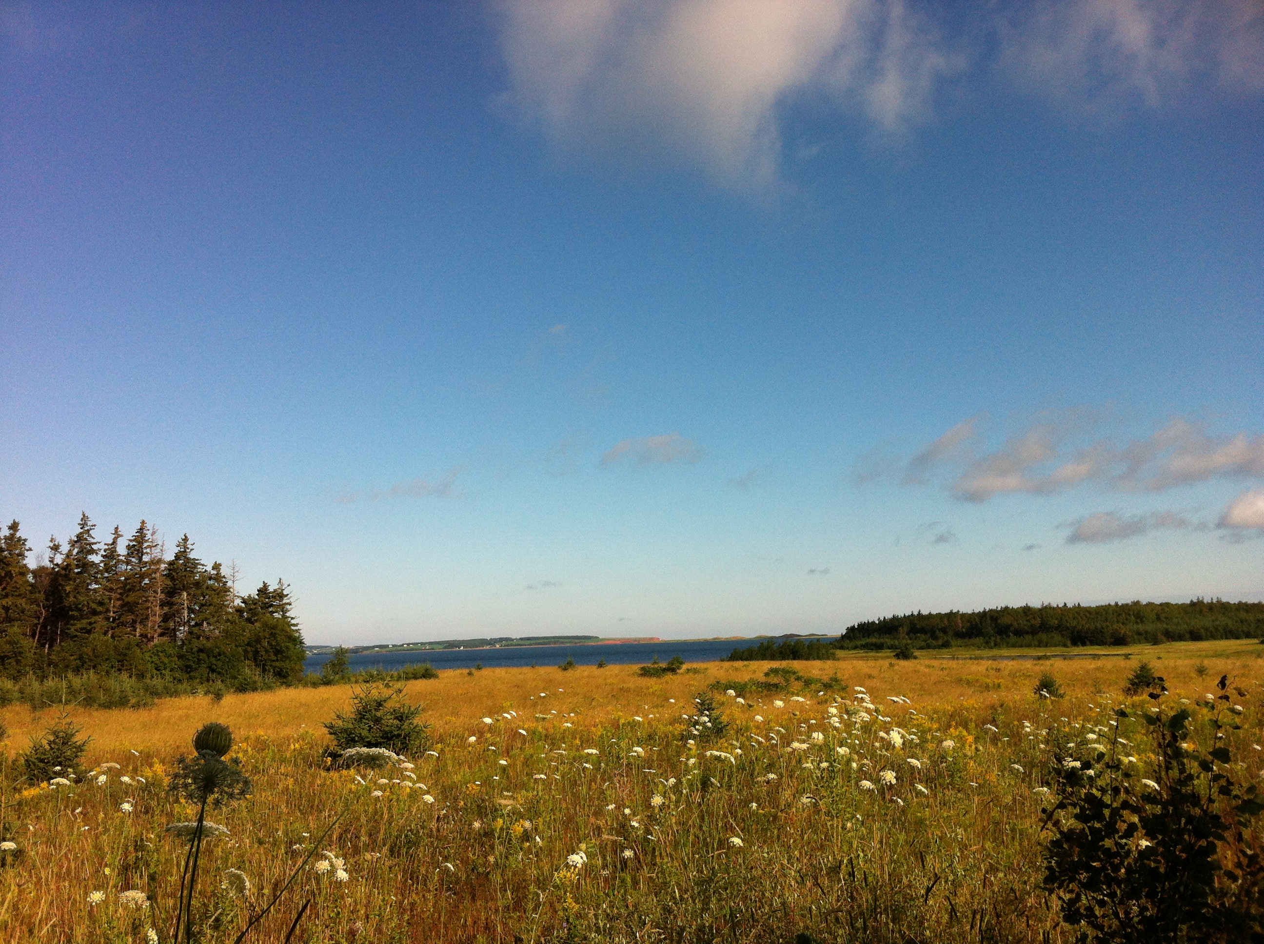
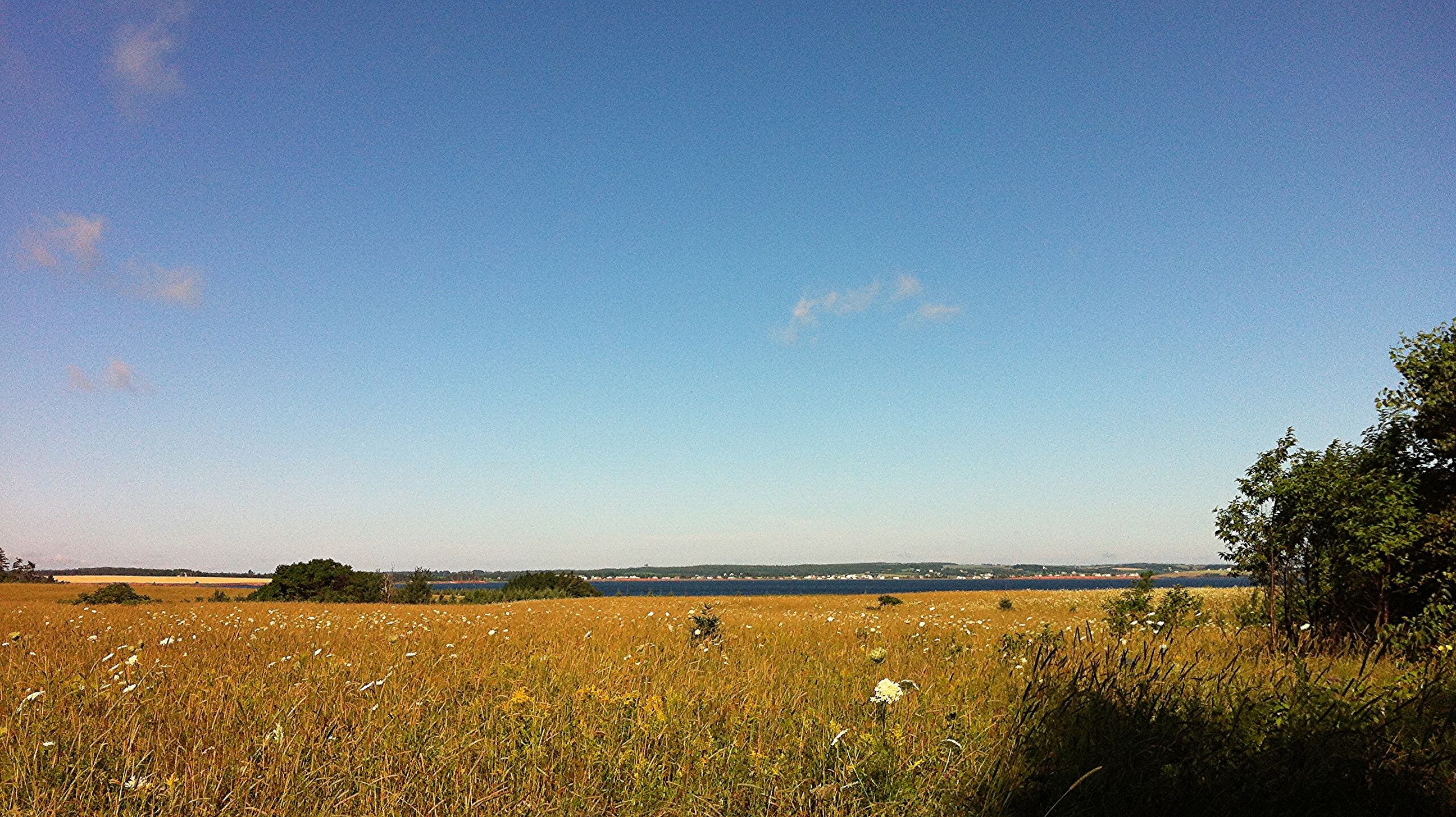
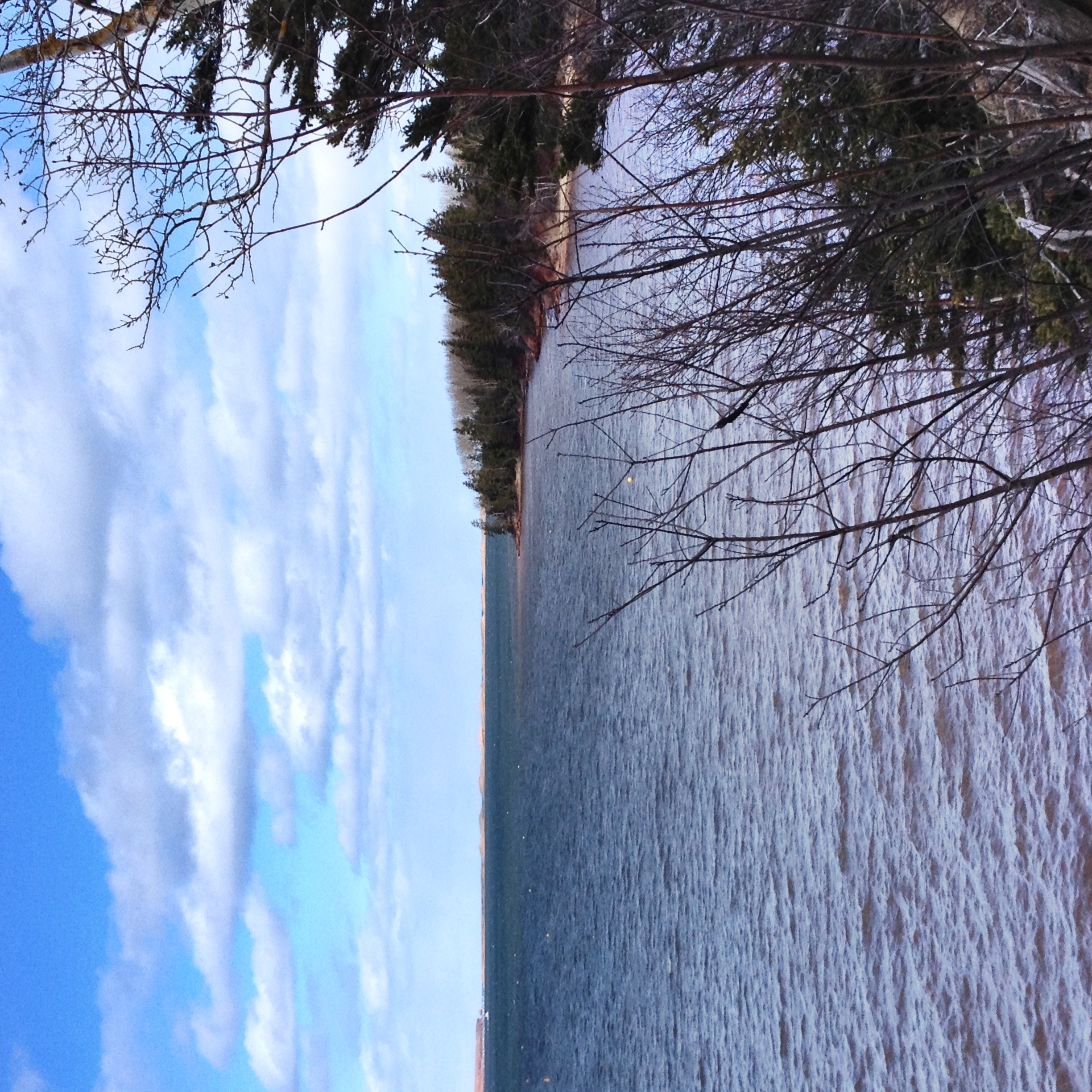
View across New London Bay.

View towards the sand dunes.
View in PEI
View from Susan's swing.
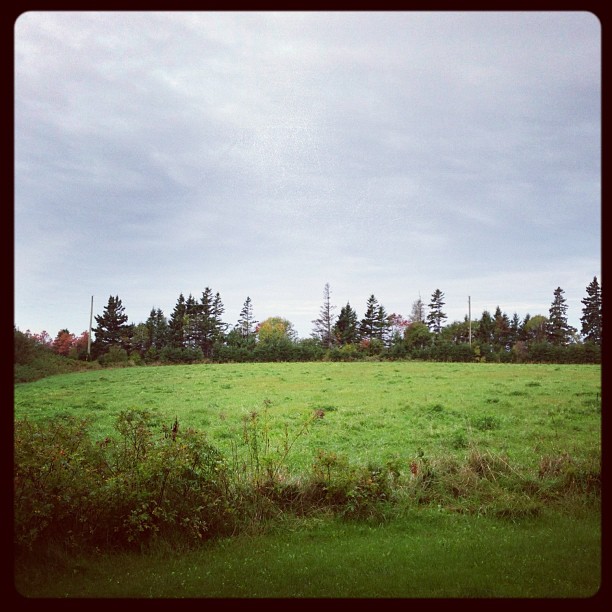
One year of pictures 2015, September 26: View of fields from David's farm down towards the water.
View of bay from Bruce's gazebo.
Windy island evening
On the Beach

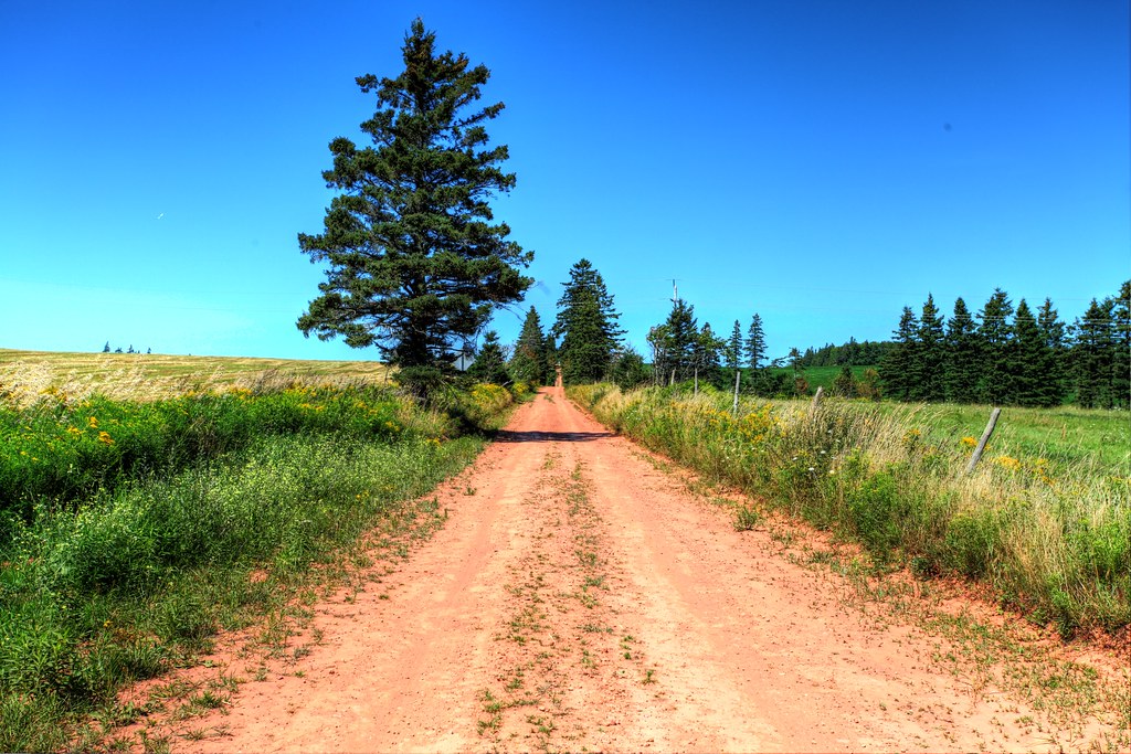
Going Down the Rustico Road (explored)
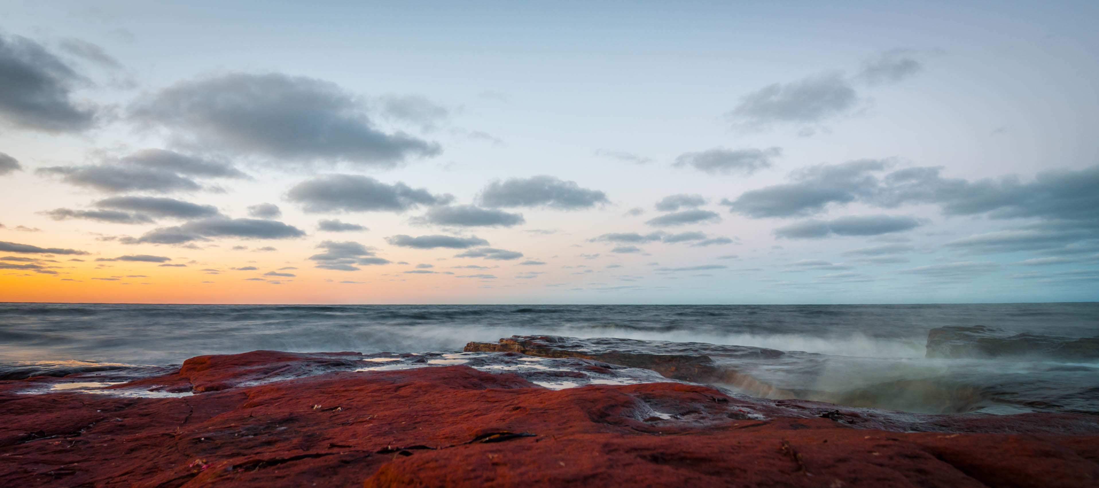
PEI - north shore
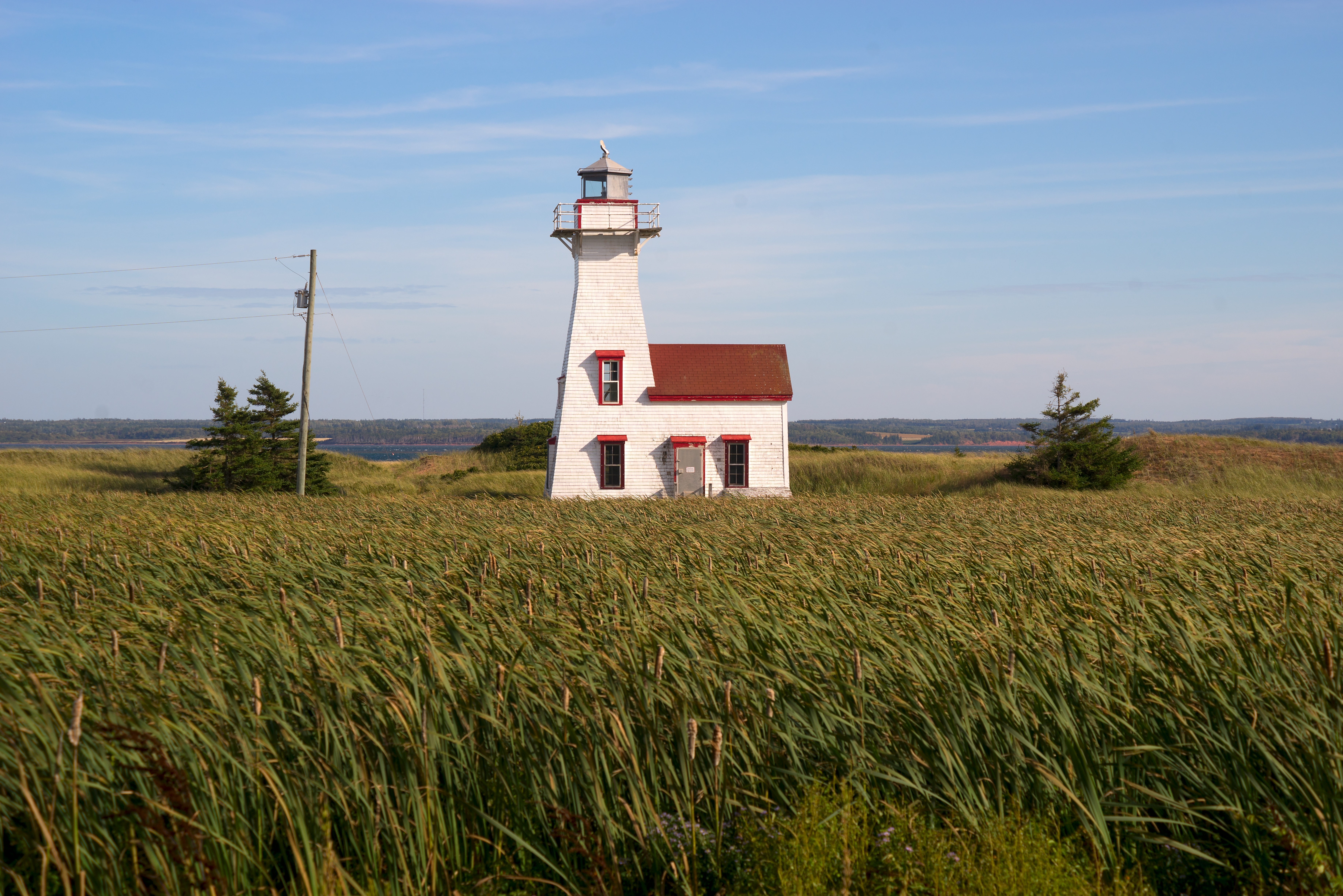
New London Range Rear Lighthouse
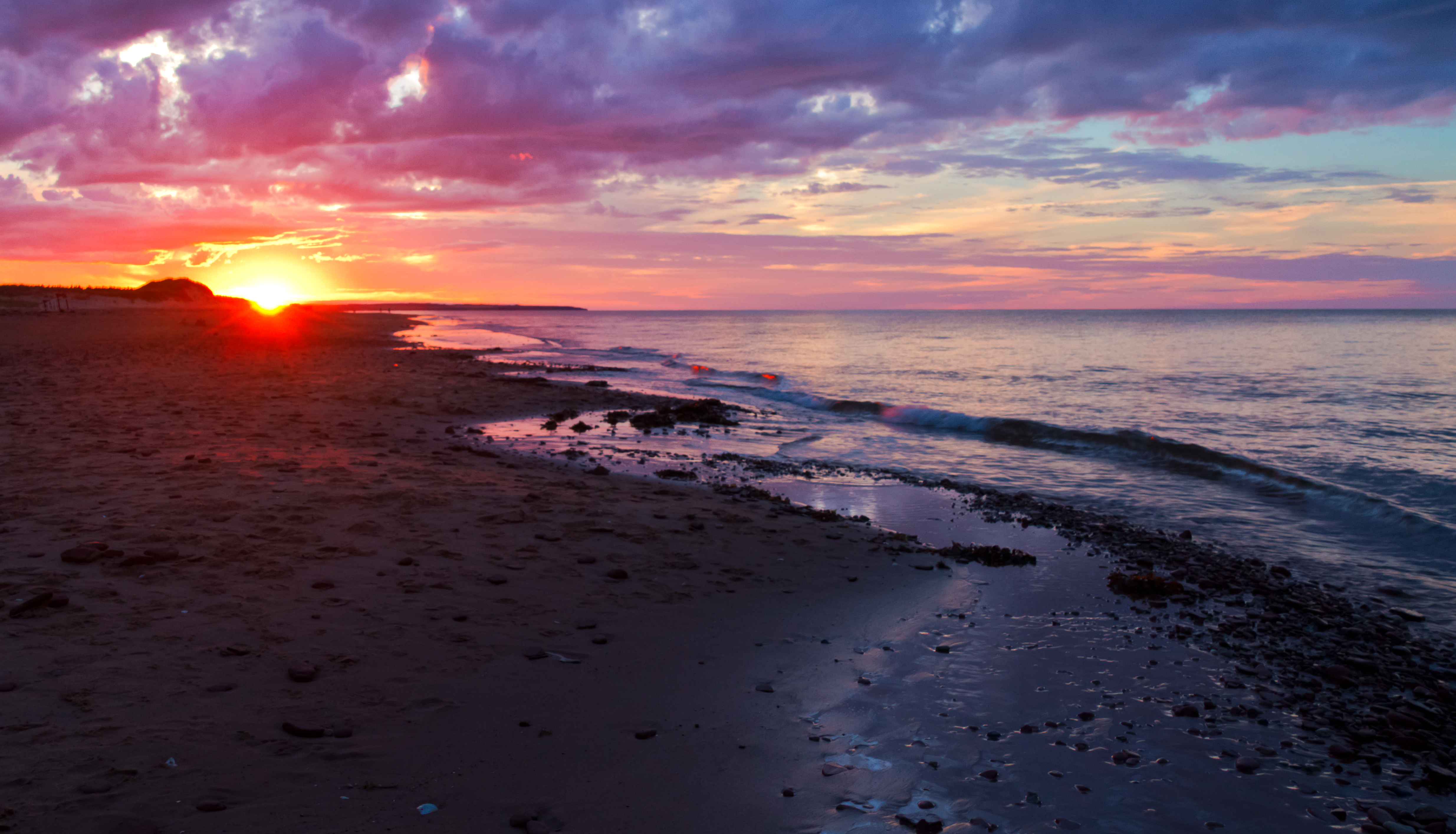
Cavendish Beach sunset 2
Magic Wood/Bois Magique

Cavendish Beach, PEI
Back road on PEI, HDR
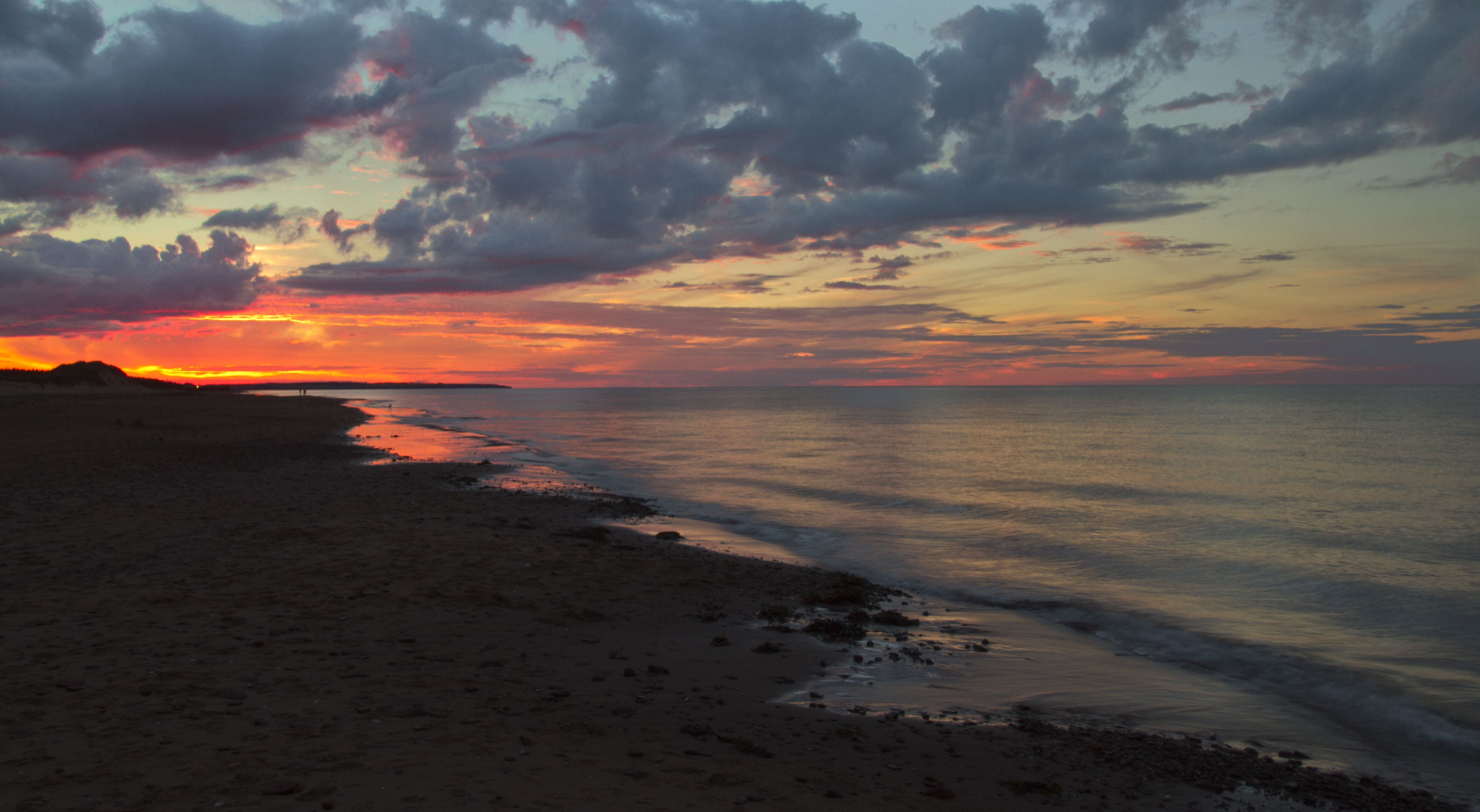
Cavendish Beach sunset 4

Cliffs at Old Cape Tryon Light
PEI 2013

Spuds. #pei
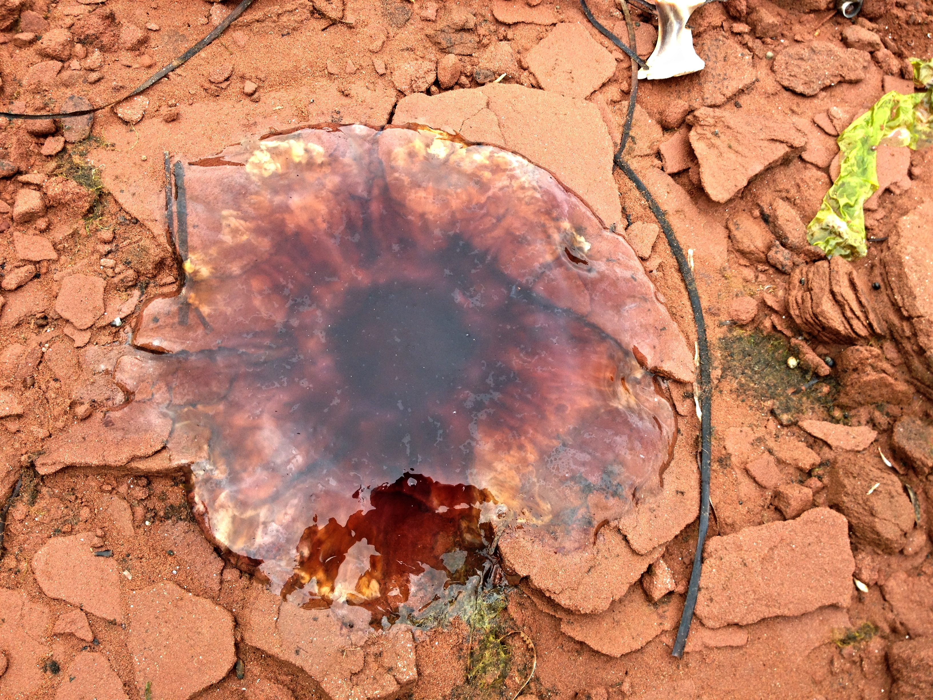
Dead jellyfish on the rocks.

New London Range Rear lighthouse

Gone fishing ????⚓️???? . . . . #princeedwardisland #pei #explorepei #truepei #noisepei #fishing #eastcoast #warf #sunrays #sunset #nikon #canadaday #imagesofcanada #atlanticcanada
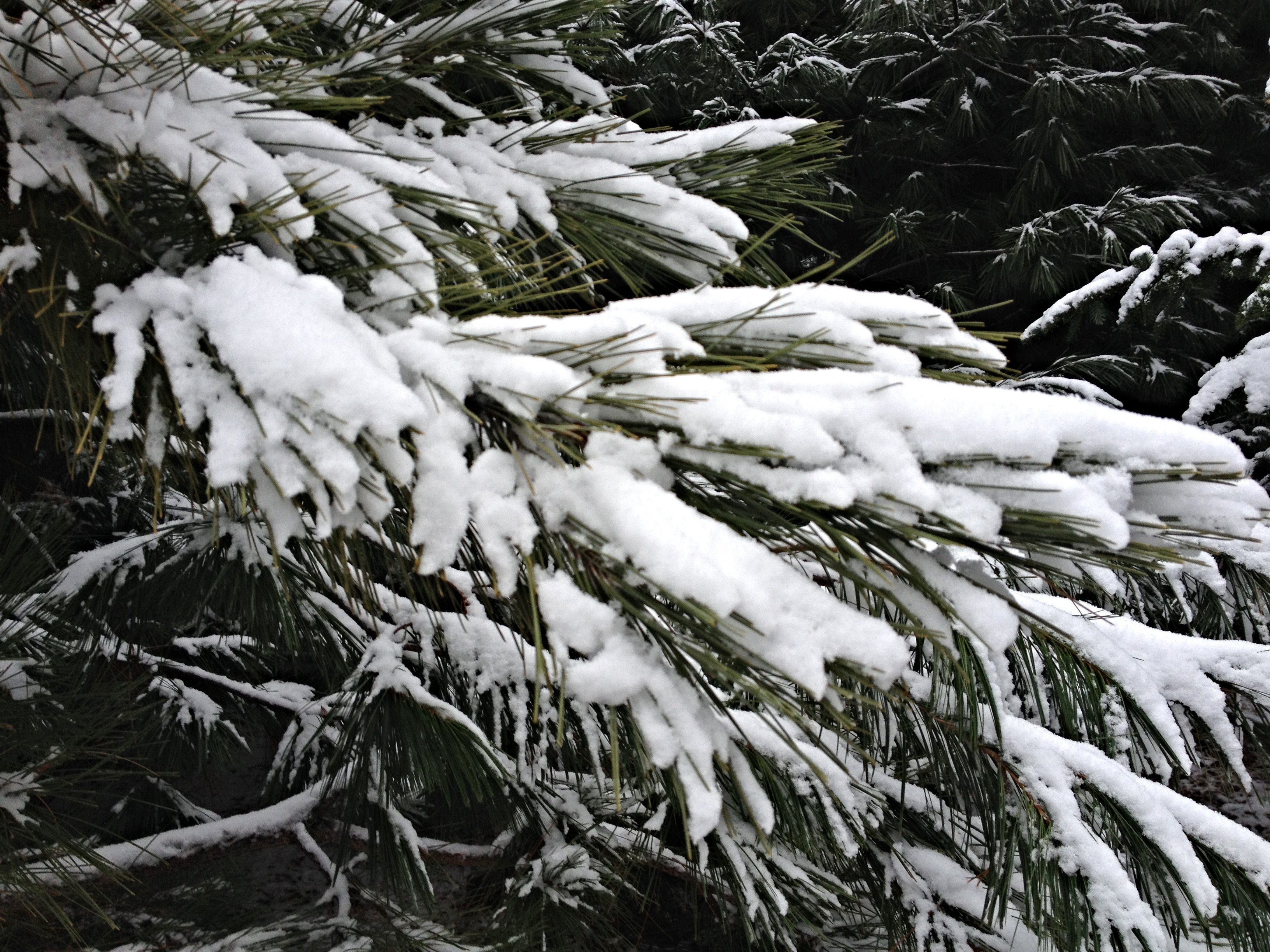
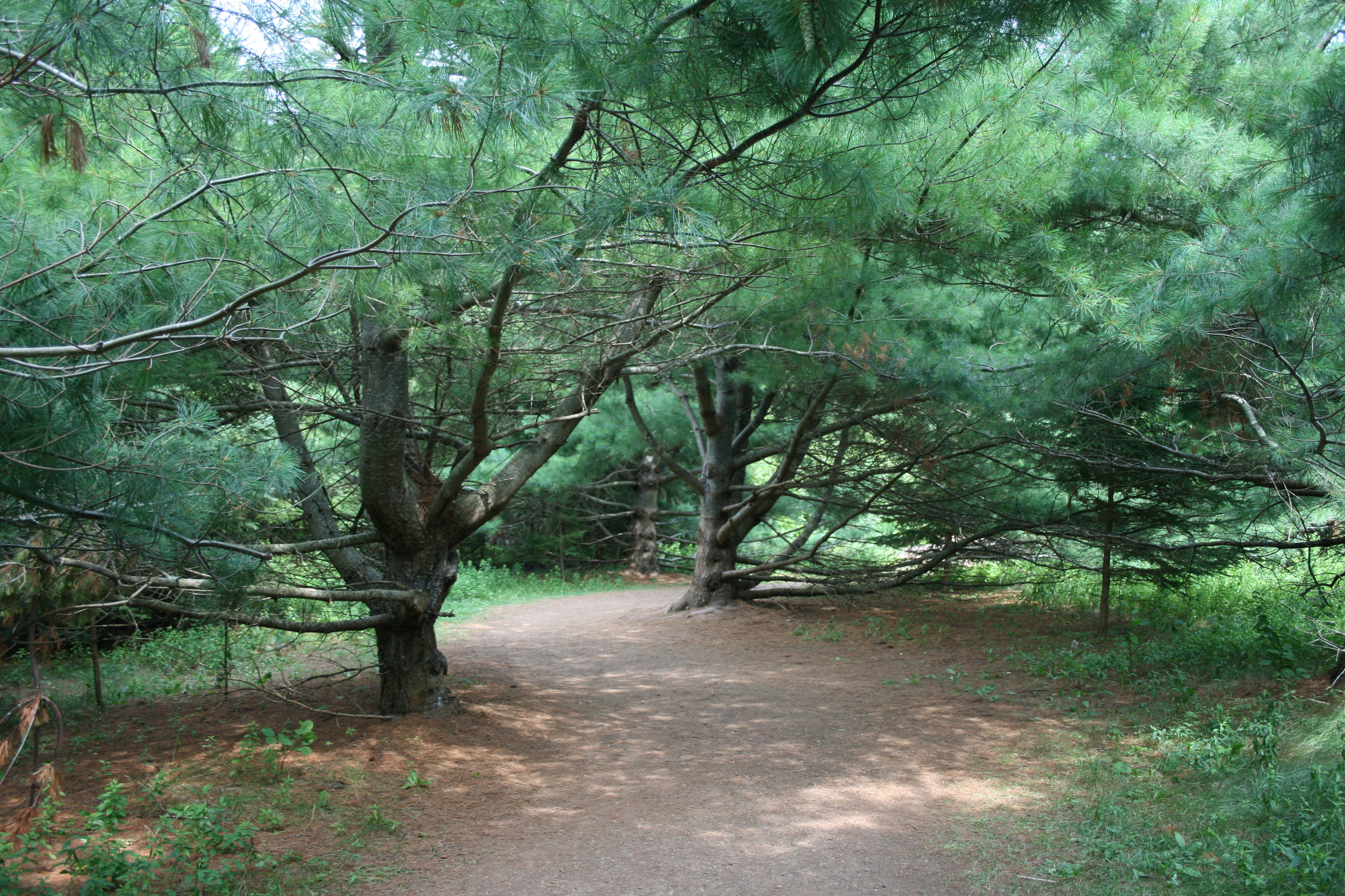
Snow on the pine branches.
Cape Turner.
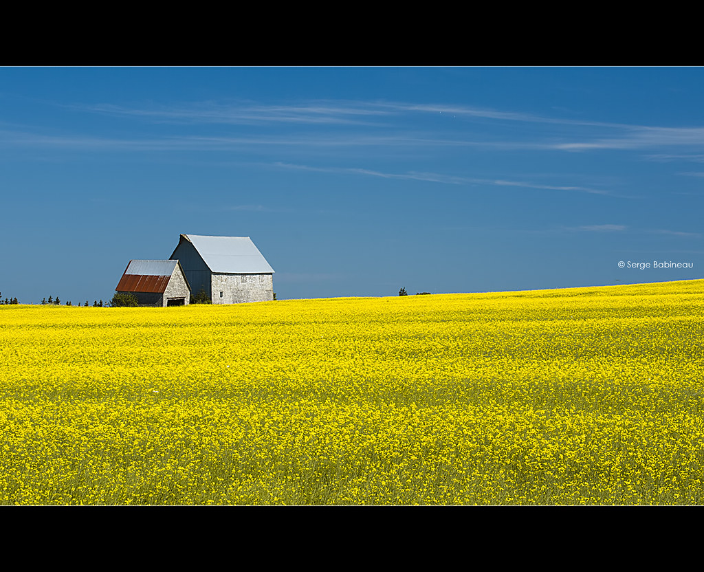
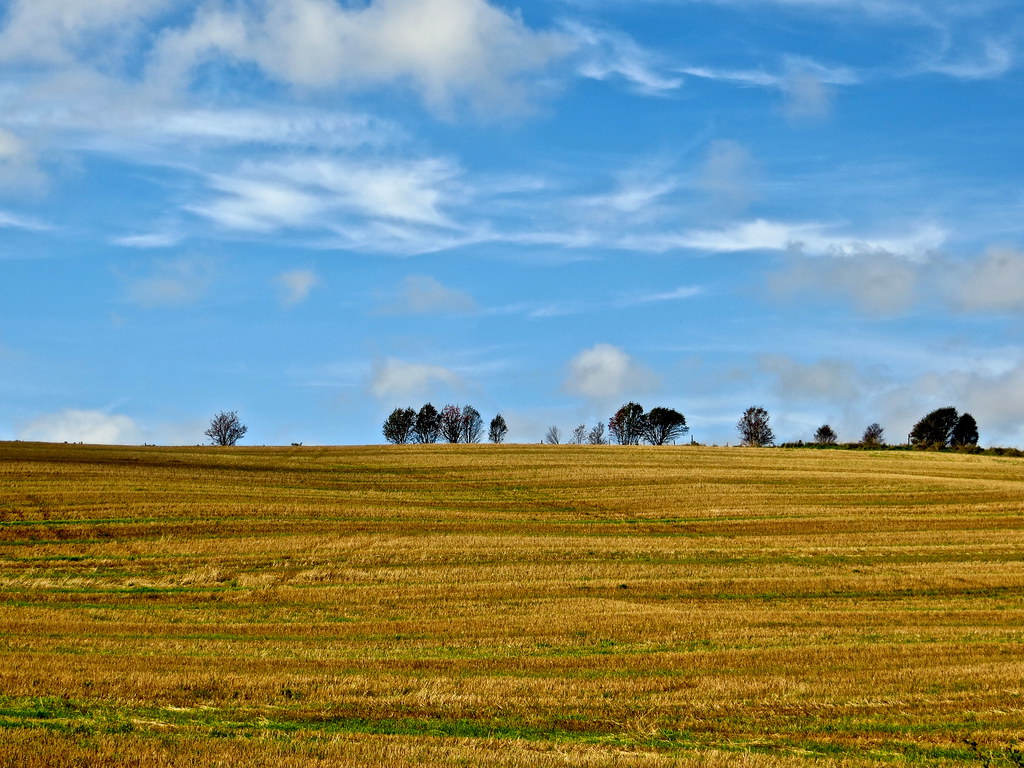
Fields of Yellow
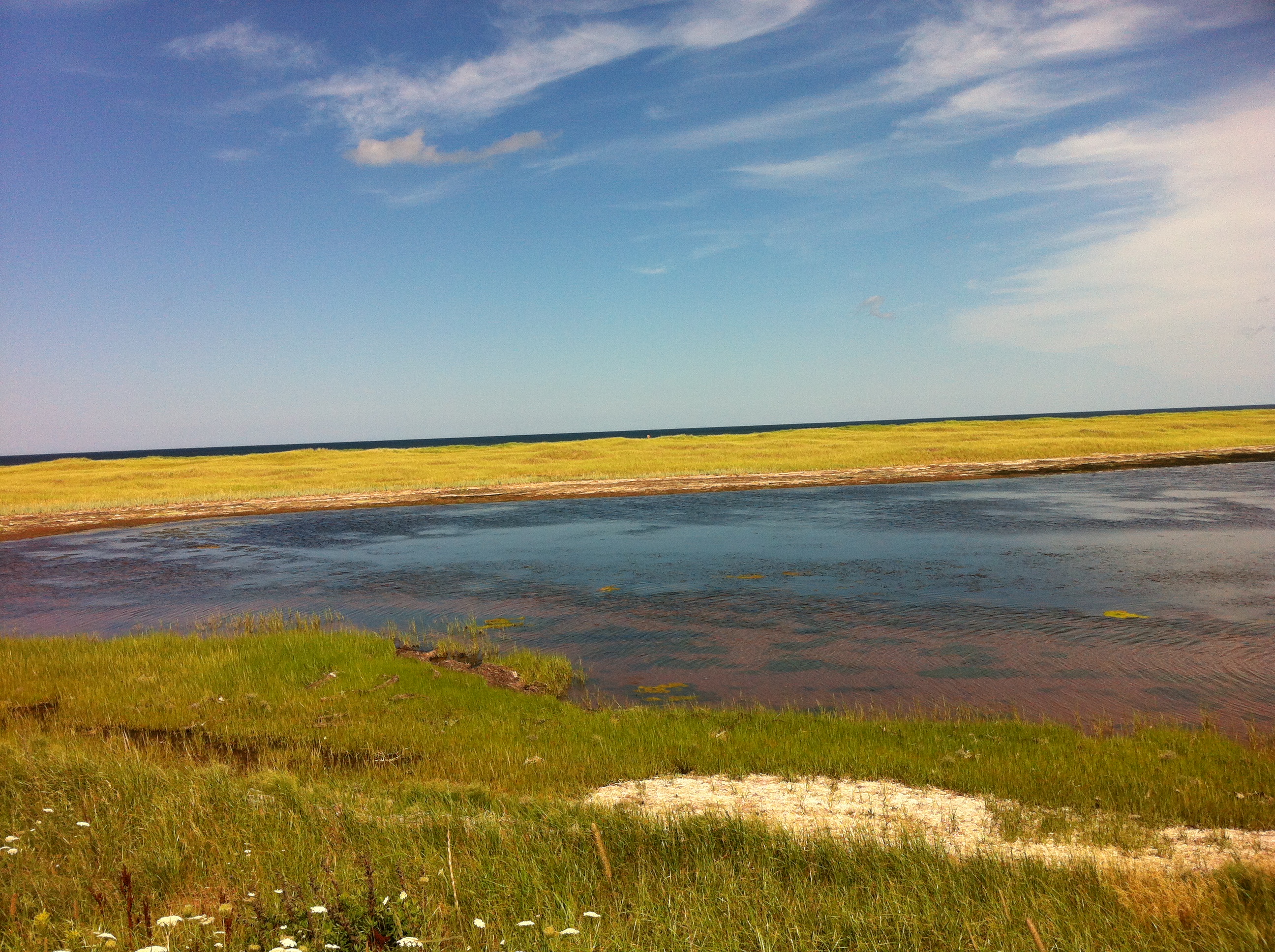
More of the marsh near South Rustico.
Topographic Map of North Rustico, PE, Canada
Find elevation by address:

Places in North Rustico, PE, Canada:
Places near North Rustico, PE, Canada:
8863 Cavendish Rd
Boyle Crescent
Green Gables Heritage Place
Cavendish Beach
Cavendish
357 Graham's Ln
Prince Edward Island
St Marys Rd, Lot 22, PE C0A, Canada
3772 St Marys Rd
Orby Head
7520 Cavendish Rd
Glasgow Hills Resort & Golf
7271 Cavendish Rd
16 Spring St
North Rustico
20 Spring St
20 Spring St
Rustico Rd, North Rustico, PE C0A 1N0, Canada
New Glasgow
PE-13, New Glasgow, PE C0A 1N0, Canada
Recent Searches:
- Elevation of Corso Fratelli Cairoli, 35, Macerata MC, Italy
- Elevation of Tallevast Rd, Sarasota, FL, USA
- Elevation of 4th St E, Sonoma, CA, USA
- Elevation of Black Hollow Rd, Pennsdale, PA, USA
- Elevation of Oakland Ave, Williamsport, PA, USA
- Elevation of Pedrógão Grande, Portugal
- Elevation of Klee Dr, Martinsburg, WV, USA
- Elevation of Via Roma, Pieranica CR, Italy
- Elevation of Tavkvetili Mountain, Georgia
- Elevation of Hartfords Bluff Cir, Mt Pleasant, SC, USA