Elevation of North East Derbyshire District, UK
Location: United Kingdom > Derbyshire >
Longitude: -1.4403714
Latitude: 53.1878221
Elevation: 137m / 449feet
Barometric Pressure: 100KPa
Elevation Map:
Satellite Map:
Related Photos:
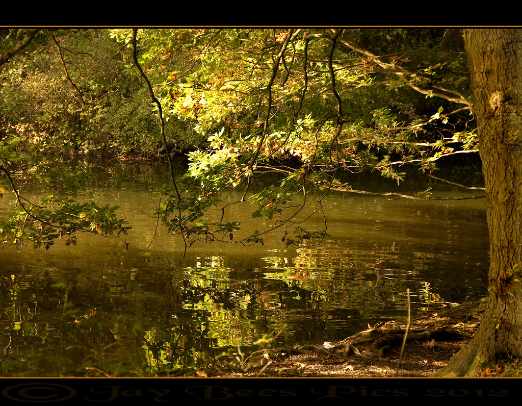
The Ripples of Autumn!

Chatsworth Paines Bridge

6915b The Main Falls
Layer Cake
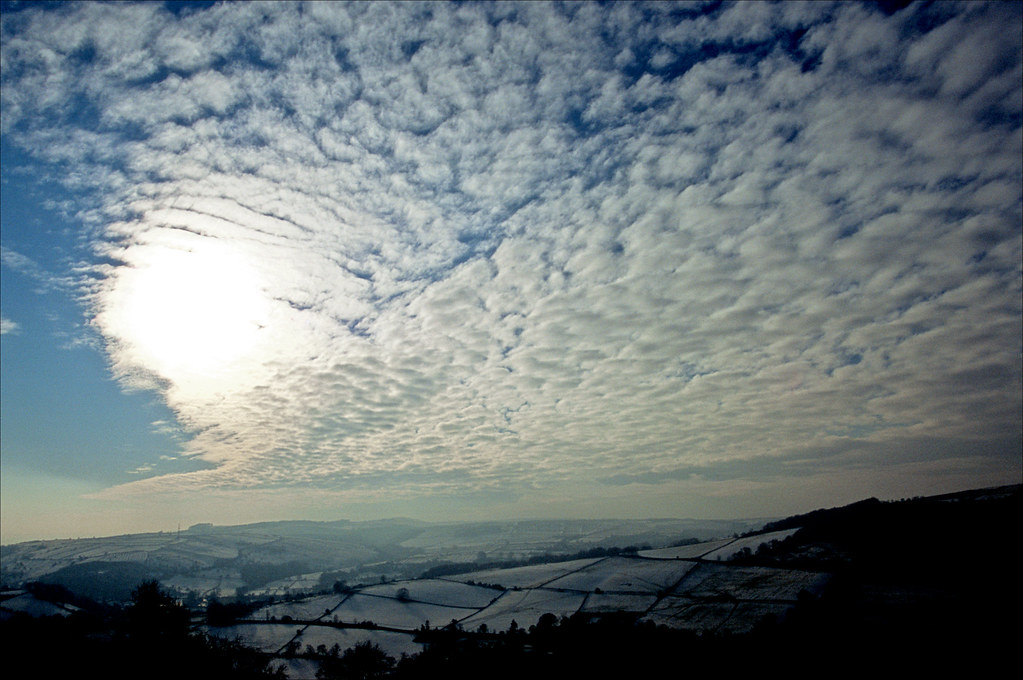
passing front

Sydnope Hill

Bakewell Courtyard
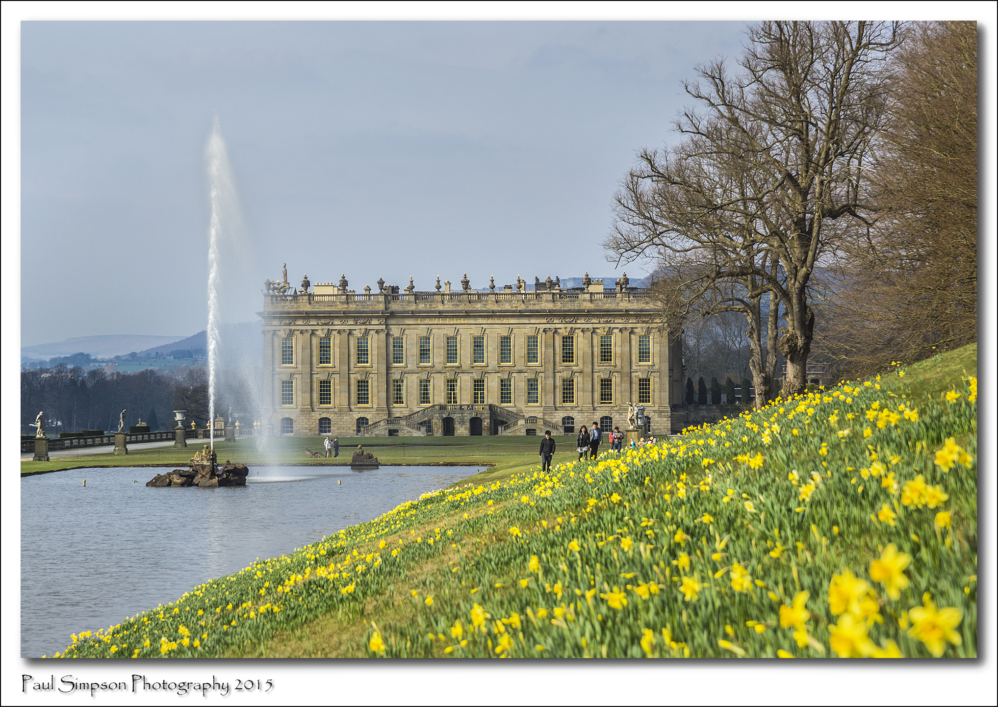
Chatsworth House
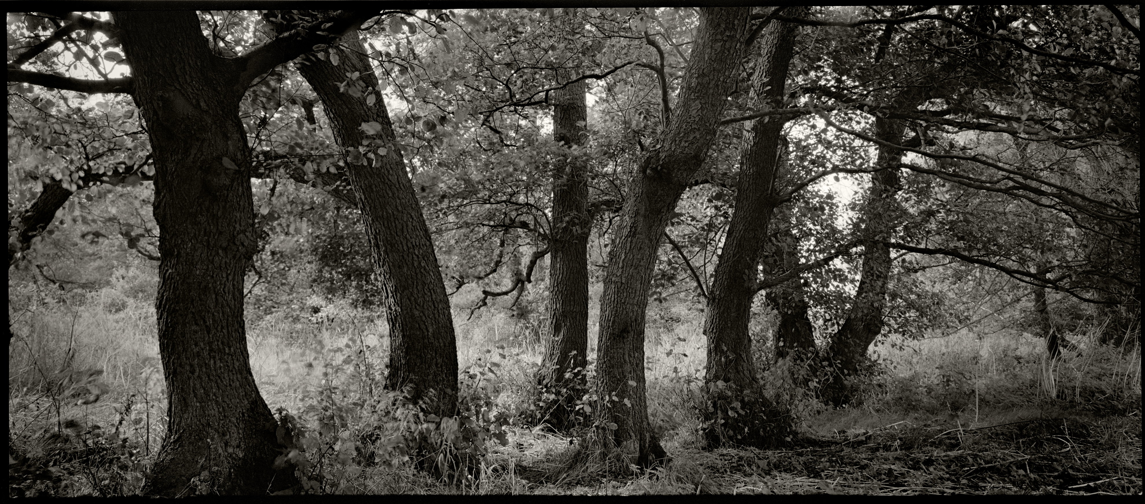
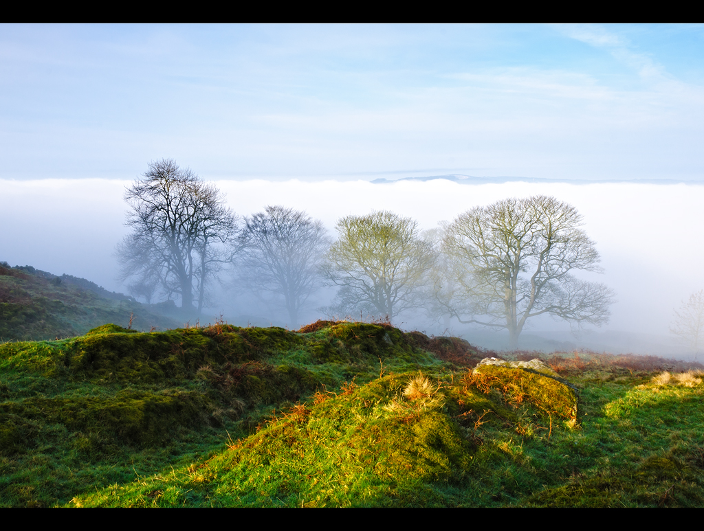
Seven Sisters in Conversation?
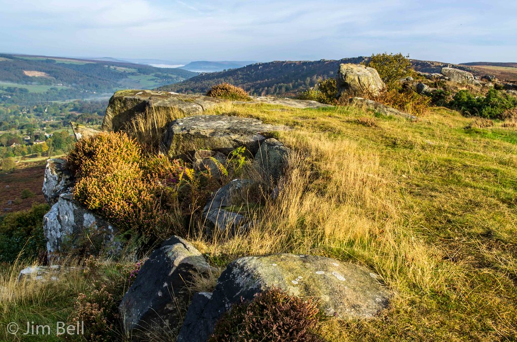
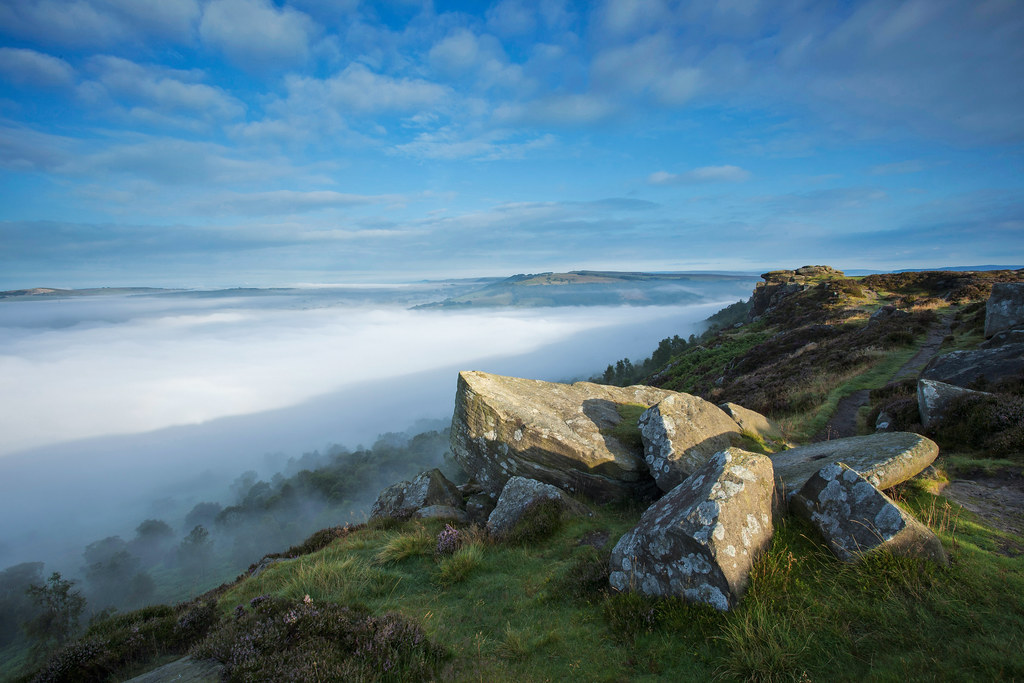
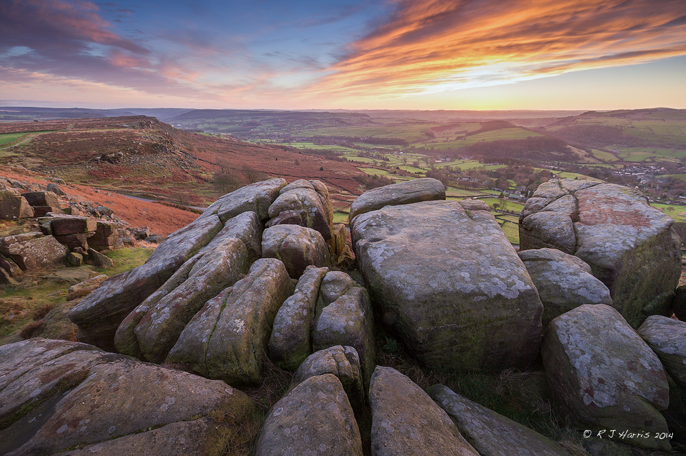
View From Baslow Edge
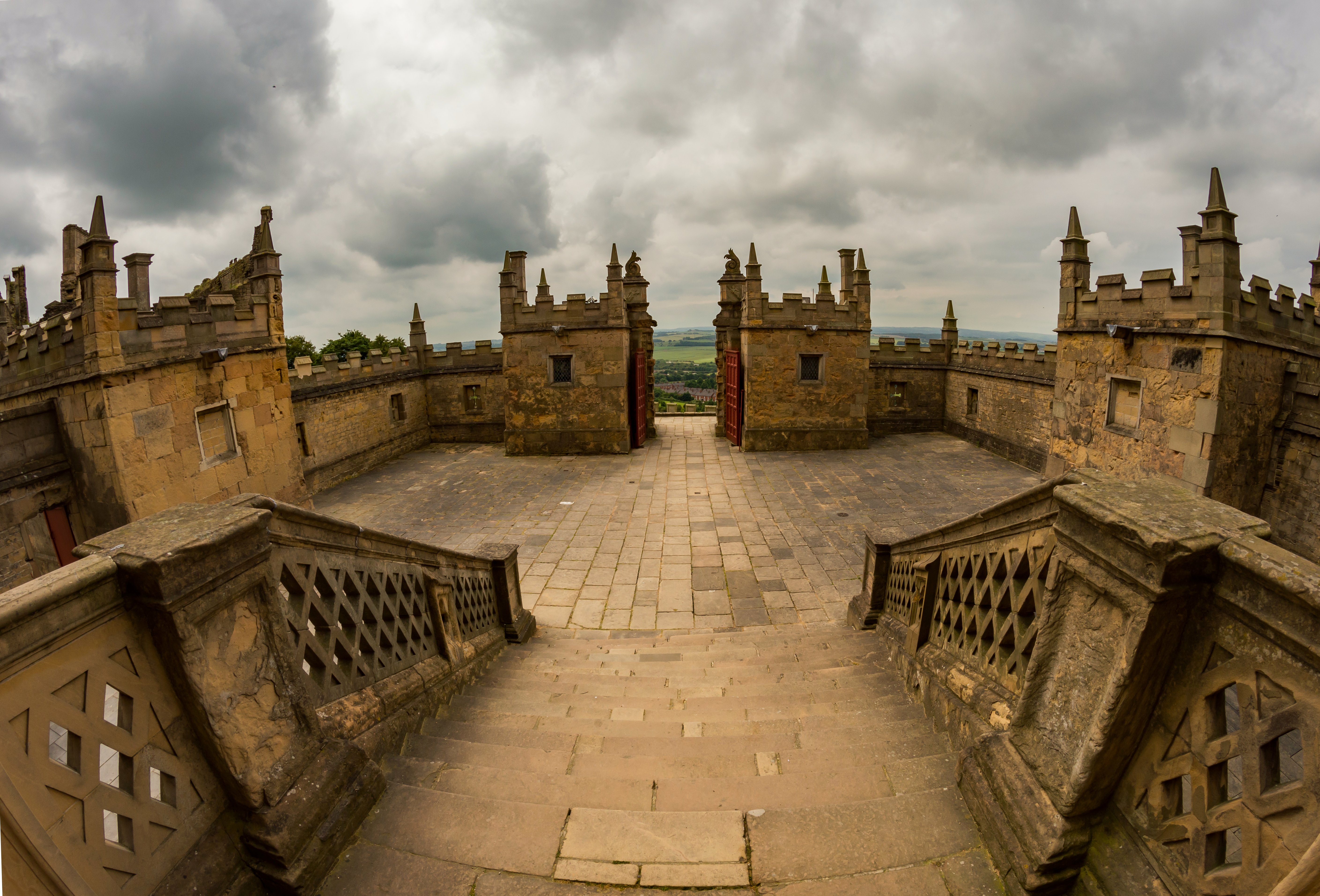
Through the gates - Bolsover Castle
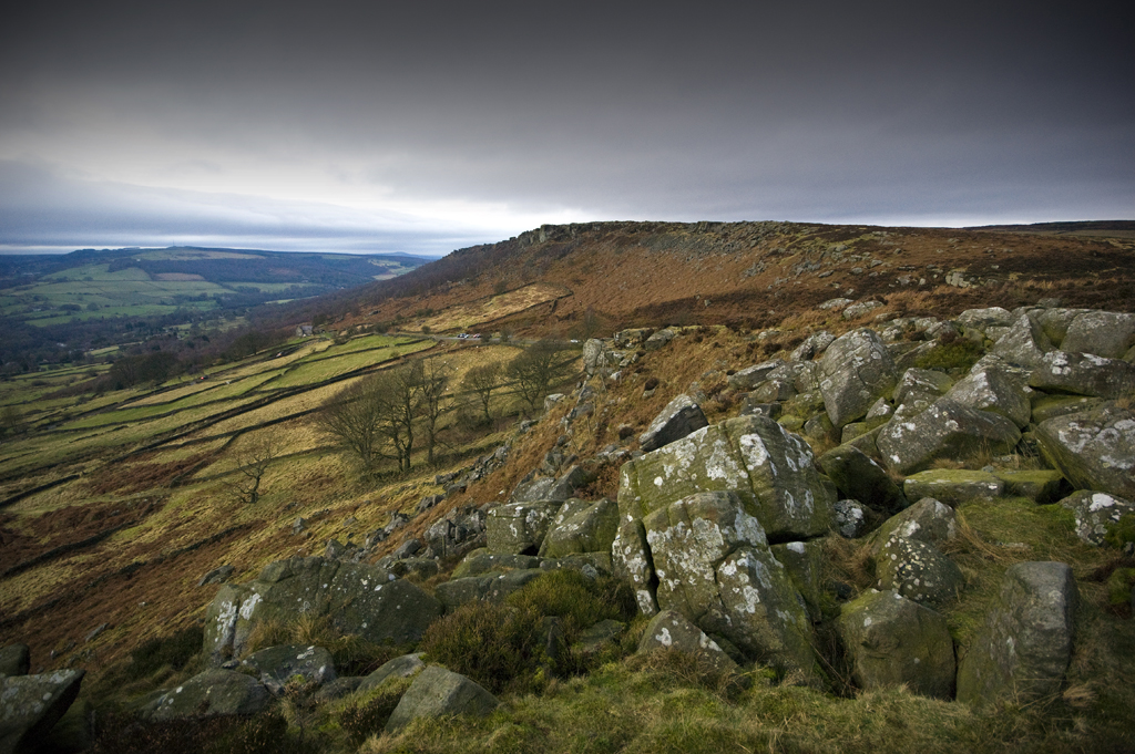
Curbar Edge
Bolsover Castle-63

Baslow Edge

Calver View
The watchful eye
Curbar Edge
Baslow Edge
Curbar Edge
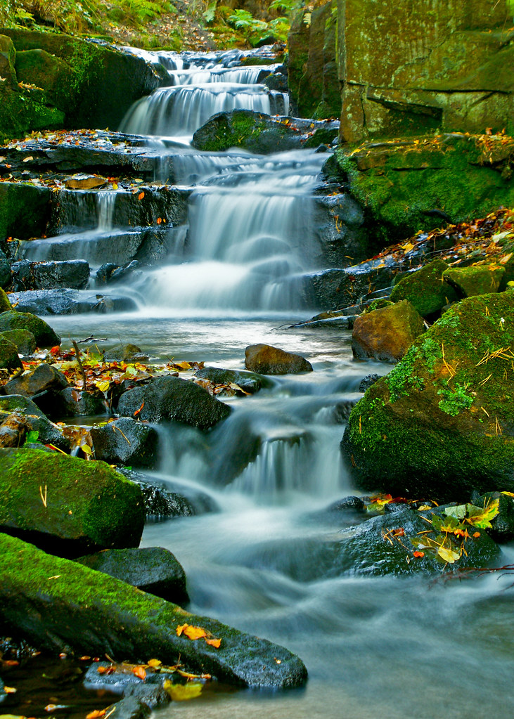
Long Exposure Lumsdale
Shining Cliff, Matlock

2810 - Going with the flow

Lumbsdale Falls...IMG_7757.jpg

2865d Catching the Light
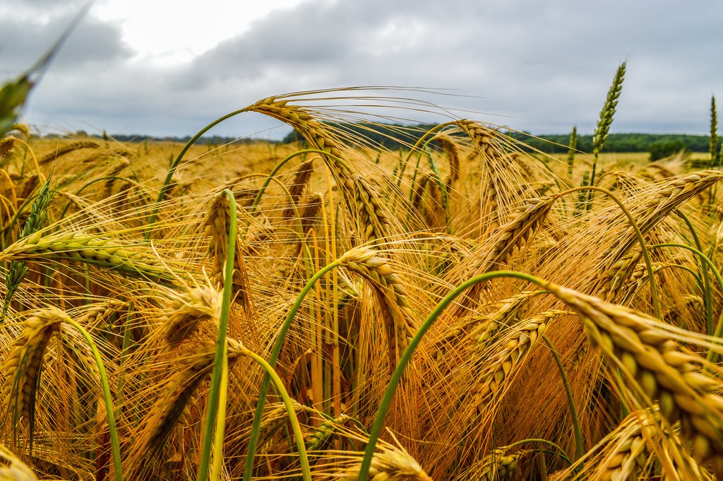
Fields of Gold

Curber rockpool 2

curbar edge

Lumsdale waterfall-3.jpg
Curbar Sunset

9111 Autumn in Lumsdale
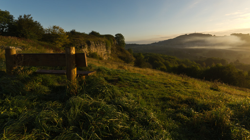
Seat with a view

8528e The Lower Cascades
A blustery morning.
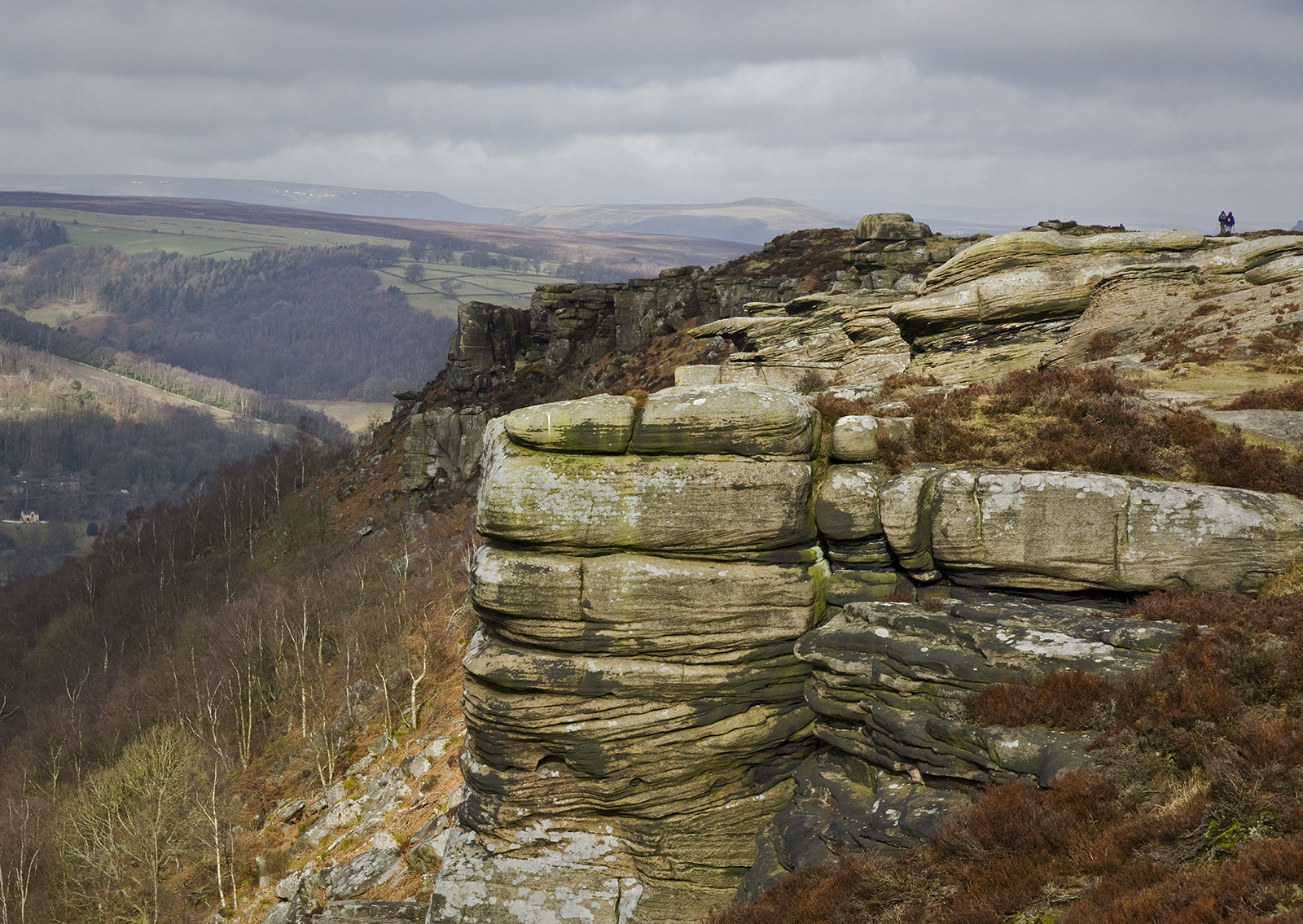
Curbar Edge

Woodland Path

2712 - The Middle Race

2696 - Lumsdale Falls
Emporor Lake....

The Fountain & The Pond

Blown Over
Topographic Map of North East Derbyshire District, UK
Find elevation by address:

Places in North East Derbyshire District, UK:
Places near North East Derbyshire District, UK:
Wingerworth
Oaklea Way
Ashover
1 Church View, Chesterfield S40 3AN, UK
S40 1dw
Chesterfield
S41 7nf
Bank Road
Bank Road
Higham
De4 5pw
Lickpenny Lane
Cutthorpe
4 Thatchers Croft, Tansley, Matlock DE4 5AN, UK
Tansley
Cowclose Barn
Lumsdale
Matlock
Matlock Dale
Matlock Bath
Recent Searches:
- Elevation of Corso Fratelli Cairoli, 35, Macerata MC, Italy
- Elevation of Tallevast Rd, Sarasota, FL, USA
- Elevation of 4th St E, Sonoma, CA, USA
- Elevation of Black Hollow Rd, Pennsdale, PA, USA
- Elevation of Oakland Ave, Williamsport, PA, USA
- Elevation of Pedrógão Grande, Portugal
- Elevation of Klee Dr, Martinsburg, WV, USA
- Elevation of Via Roma, Pieranica CR, Italy
- Elevation of Tavkvetili Mountain, Georgia
- Elevation of Hartfords Bluff Cir, Mt Pleasant, SC, USA