Elevation of Norske Peak, Fraser Valley B, BC V0X, Canada
Location: Canada > British Columbia > Manning Park >
Longitude: -120.90861
Latitude: 49.1988888
Elevation: 1942m / 6371feet
Barometric Pressure: 80KPa
Elevation Map:
Satellite Map:
Related Photos:

View From Saddle beside Mt Snass
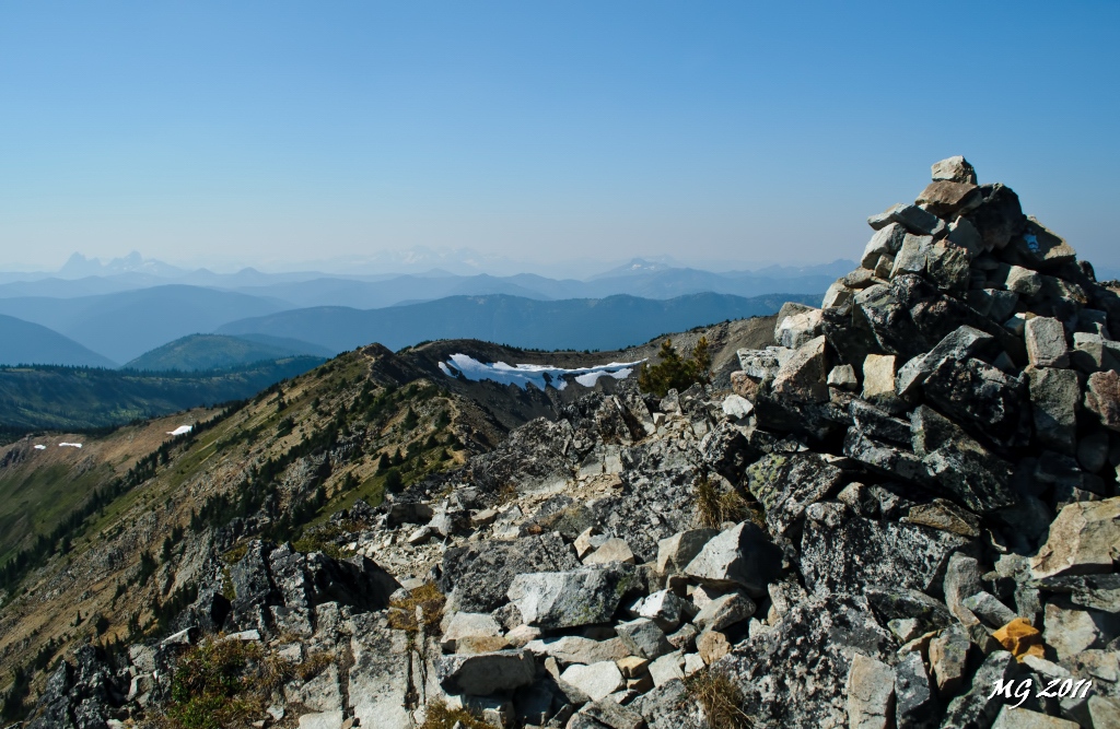
View From the Summit Cairn
43 View of the Third Brother-Cousin Mountain col

Roadside view
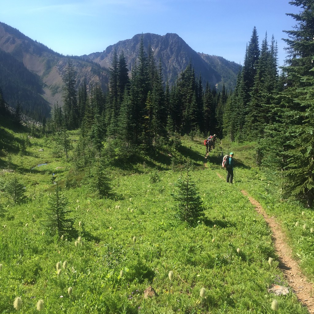
2015 Day 186 - Heading Towards Punchbowl Lake

Mt Hozomeen
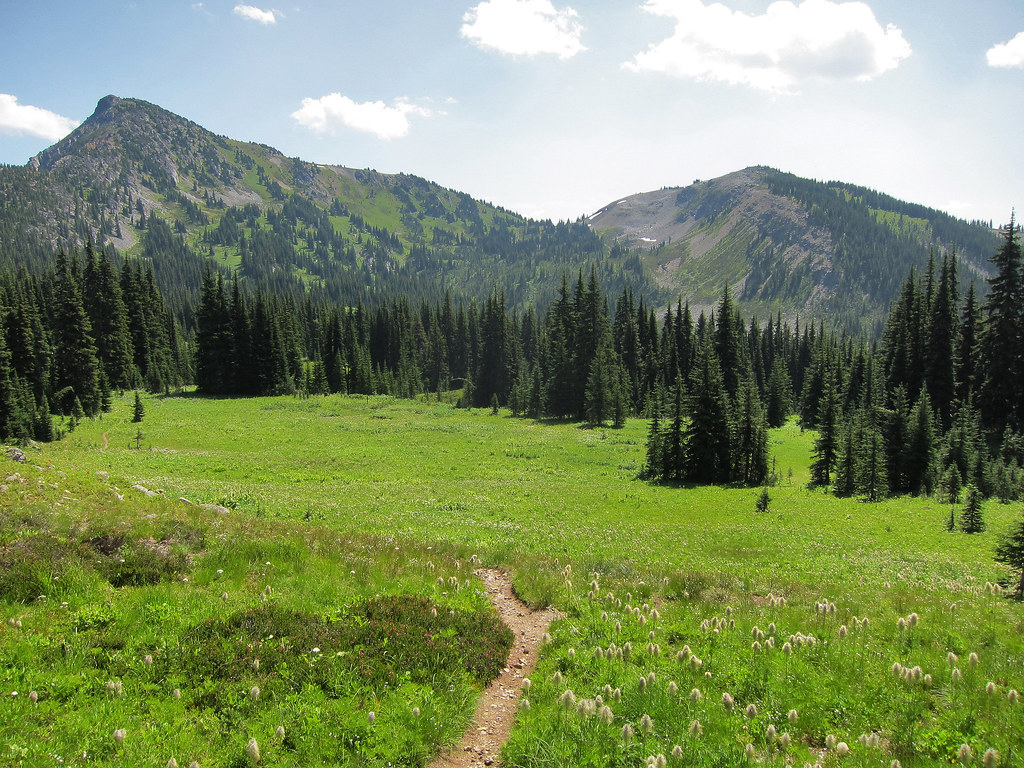
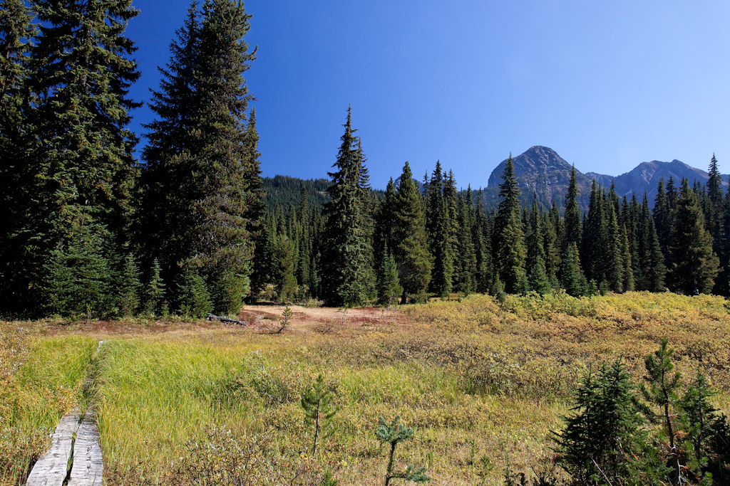
The Alpine Meadows of Manning Park

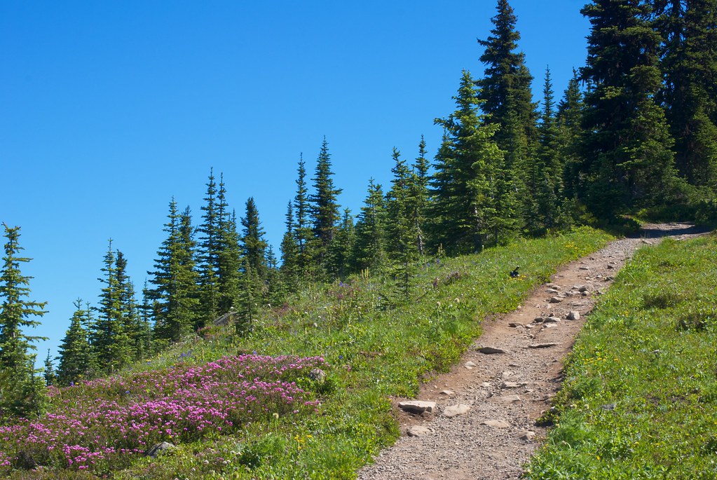
Heather Trail Hike - View from the First Brother
Snass View Camp

Views from the Whatcom Trail
Topographic Map of Norske Peak, Fraser Valley B, BC V0X, Canada
Find elevation by address:

Places near Norske Peak, Fraser Valley B, BC V0X, Canada:
Nordheim Peak
Nordheim Se1
Allison Pass
Fourth Brother Mountain
Cousin Peak
E. C. Manning Provincial Park
Three Brothers Mountain
Big Buck Mountain
Lightning Lake
Manning Park Resort
Manning Park
Scimitar Knoll
Cascade Lookout
Castle Peak
Kandahar Peak
Pacific Crest Trail - Northern Terminus
Freezeout Mountain
Joker Mountain
Mount Winthrop
Eastgate
Recent Searches:
- Elevation of Corso Fratelli Cairoli, 35, Macerata MC, Italy
- Elevation of Tallevast Rd, Sarasota, FL, USA
- Elevation of 4th St E, Sonoma, CA, USA
- Elevation of Black Hollow Rd, Pennsdale, PA, USA
- Elevation of Oakland Ave, Williamsport, PA, USA
- Elevation of Pedrógão Grande, Portugal
- Elevation of Klee Dr, Martinsburg, WV, USA
- Elevation of Via Roma, Pieranica CR, Italy
- Elevation of Tavkvetili Mountain, Georgia
- Elevation of Hartfords Bluff Cir, Mt Pleasant, SC, USA