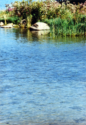
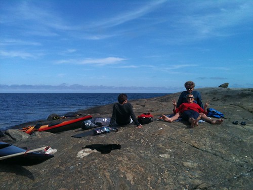
Elevation of NORRFJÄRDEN ALDERSKÄRSVÄGEN 3, 77 Gnarp, Sweden
Location: Sweden > Gavleborg County > Nordanstig Ö >
Longitude: 17.4335548
Latitude: 62.0620444
Elevation: 1m / 3feet
Barometric Pressure: 101KPa
Related Photos:
Topographic Map of NORRFJÄRDEN ALDERSKÄRSVÄGEN 3, 77 Gnarp, Sweden
Find elevation by address:

Places near NORRFJÄRDEN ALDERSKÄRSVÄGEN 3, 77 Gnarp, Sweden:
Norrfjärden
Norrfjärden, 77 Gnarp, Sweden
HÅRTE BREDSTRANDSVÄGEN 60, 76 Jättendal, Sweden
Sundsvall Ö
Galtström
Armsjövägen
Armsjövägen 25, 95 Njurunda, Sweden
Nordanstig Ö
Tjärnviks Fastighets Ab
Gårdsjön, 95 Njurunda, Sweden
Skarvtjärn
Gårdsjön
SVALA, 94 Njurunda, Sweden
Harmånger
Nordanå Nygården 42, 75 Harmånger, Sweden
Svartvik
Nordanå Lägden 70, 75 Harmånger, Sweden
Nordanstig Nv
Stockvik
Trollsved, 77 Gnarp, Sweden
Recent Searches:
- Elevation of Corso Fratelli Cairoli, 35, Macerata MC, Italy
- Elevation of Tallevast Rd, Sarasota, FL, USA
- Elevation of 4th St E, Sonoma, CA, USA
- Elevation of Black Hollow Rd, Pennsdale, PA, USA
- Elevation of Oakland Ave, Williamsport, PA, USA
- Elevation of Pedrógão Grande, Portugal
- Elevation of Klee Dr, Martinsburg, WV, USA
- Elevation of Via Roma, Pieranica CR, Italy
- Elevation of Tavkvetili Mountain, Georgia
- Elevation of Hartfords Bluff Cir, Mt Pleasant, SC, USA
