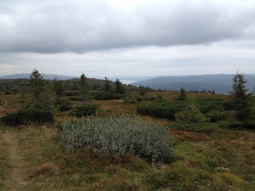
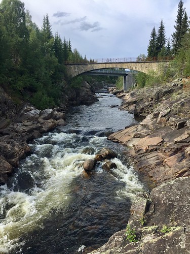
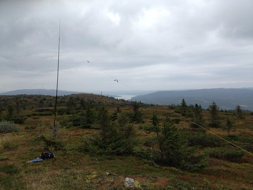
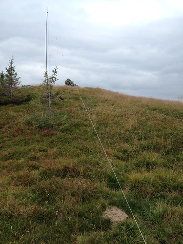
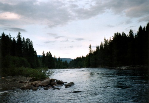
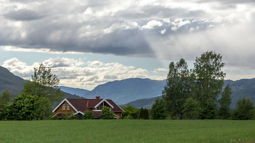
Elevation of Nordre Land Municipality, Norway
Location: Norway > Innlandet >
Longitude: 10.0021656
Latitude: 60.9088868
Elevation: 742m / 2434feet
Barometric Pressure: 93KPa
Related Photos:
Topographic Map of Nordre Land Municipality, Norway
Find elevation by address:

Places near Nordre Land Municipality, Norway:
Nord Torpa
Snertingdalsvegen, Snertingdal, Norway
Østre Gausdal
Innlandet
Lillehammer
Bjoneroa
Vormstuguvegen 69, Lillehammer, Norway
Krokfossvegen 36, Bjoneroa, Norway
Krokfossvegen 20, Bjoneroa, Norway
Krokfossvegen 44, Bjoneroa, Norway
Gjøvik
Lillehammer Skysstasjon
Tretten
Lillehammer
Storgata 49, Lillehammer, Norway
Vestsidevegen, Bjoneroa, Norway
Maihaugen
Nordbygdsvegen, Øyer, Norway
Nord-strand Hytteområde, Fåvang, Norway
Brøttum
Recent Searches:
- Elevation of Corso Fratelli Cairoli, 35, Macerata MC, Italy
- Elevation of Tallevast Rd, Sarasota, FL, USA
- Elevation of 4th St E, Sonoma, CA, USA
- Elevation of Black Hollow Rd, Pennsdale, PA, USA
- Elevation of Oakland Ave, Williamsport, PA, USA
- Elevation of Pedrógão Grande, Portugal
- Elevation of Klee Dr, Martinsburg, WV, USA
- Elevation of Via Roma, Pieranica CR, Italy
- Elevation of Tavkvetili Mountain, Georgia
- Elevation of Hartfords Bluff Cir, Mt Pleasant, SC, USA


