Elevation of No., Wannian E Rd, Douliu City, Yunlin County, Taiwan
Location: Taiwan > Yunlin County > Douliu City > 長安里 >
Longitude: 120.557169
Latitude: 23.728626
Elevation: 48m / 157feet
Barometric Pressure: 101KPa
Elevation Map:
Satellite Map:
Related Photos:

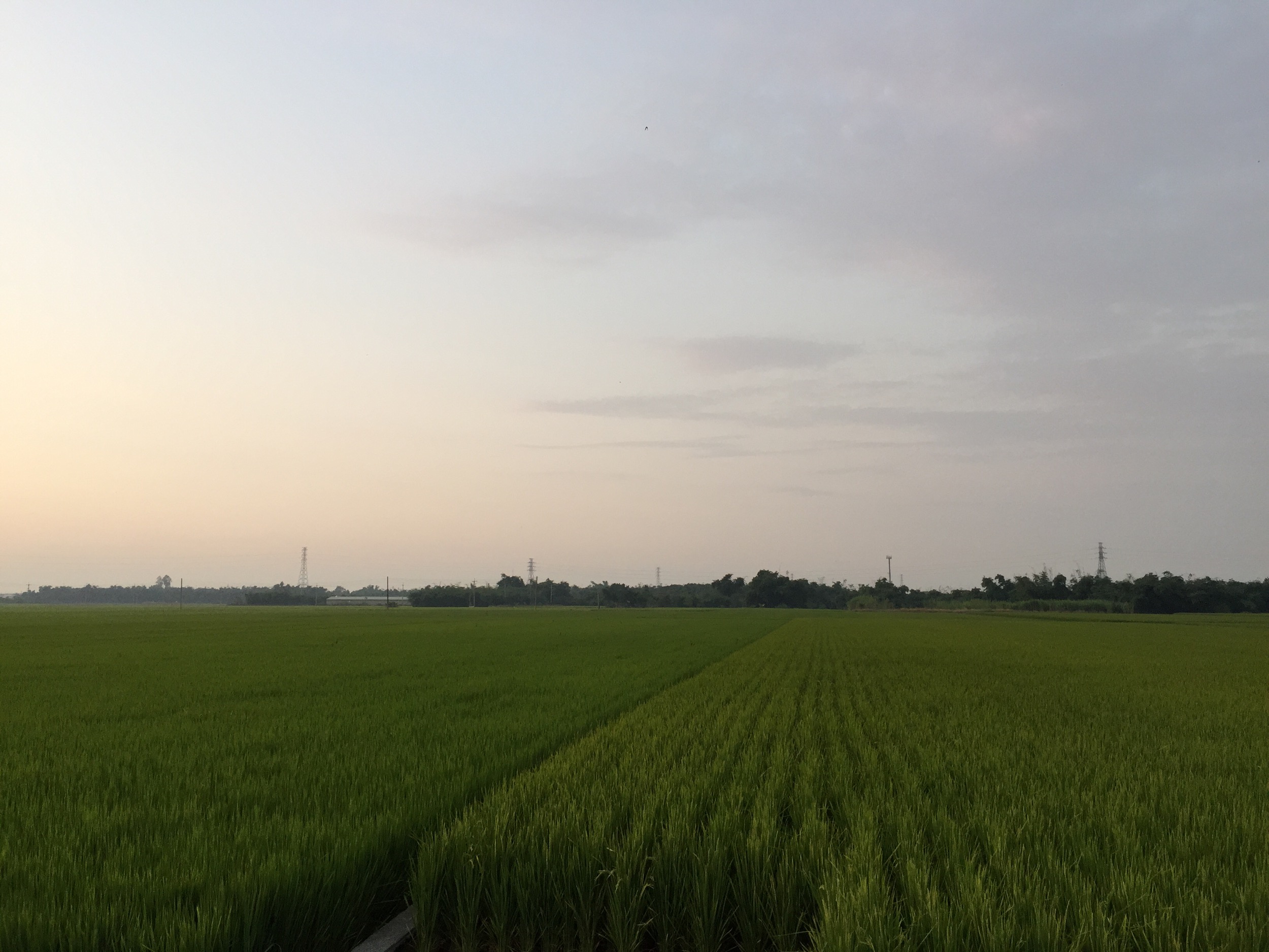
竹海步道

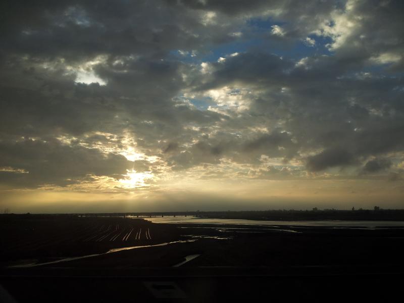
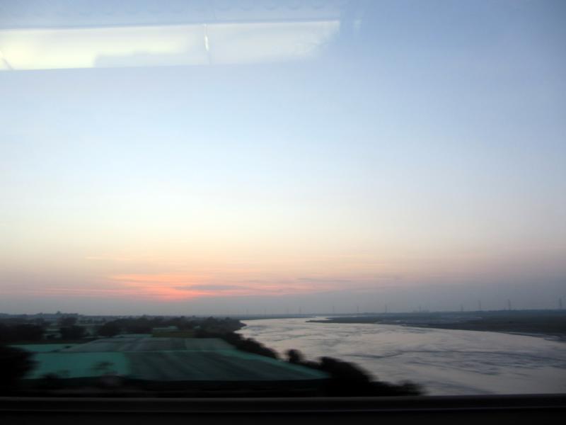
View From THSR Window
View From THSR Window
View From THSR Window
View From THSR Window
View From THSR Window

View From THSR Window
View From THSR Window
View From THSR Window
View From THSR Window

View From THSR Window
View From THSR Window
View From THSR Window
View From THSR Window
View From THSR Window

View From THSR Window
View From THSR Window

View From THSR Window

View From THSR Window
View From THSR Window

View From THSR Window

Camera Roll-38

賞花4
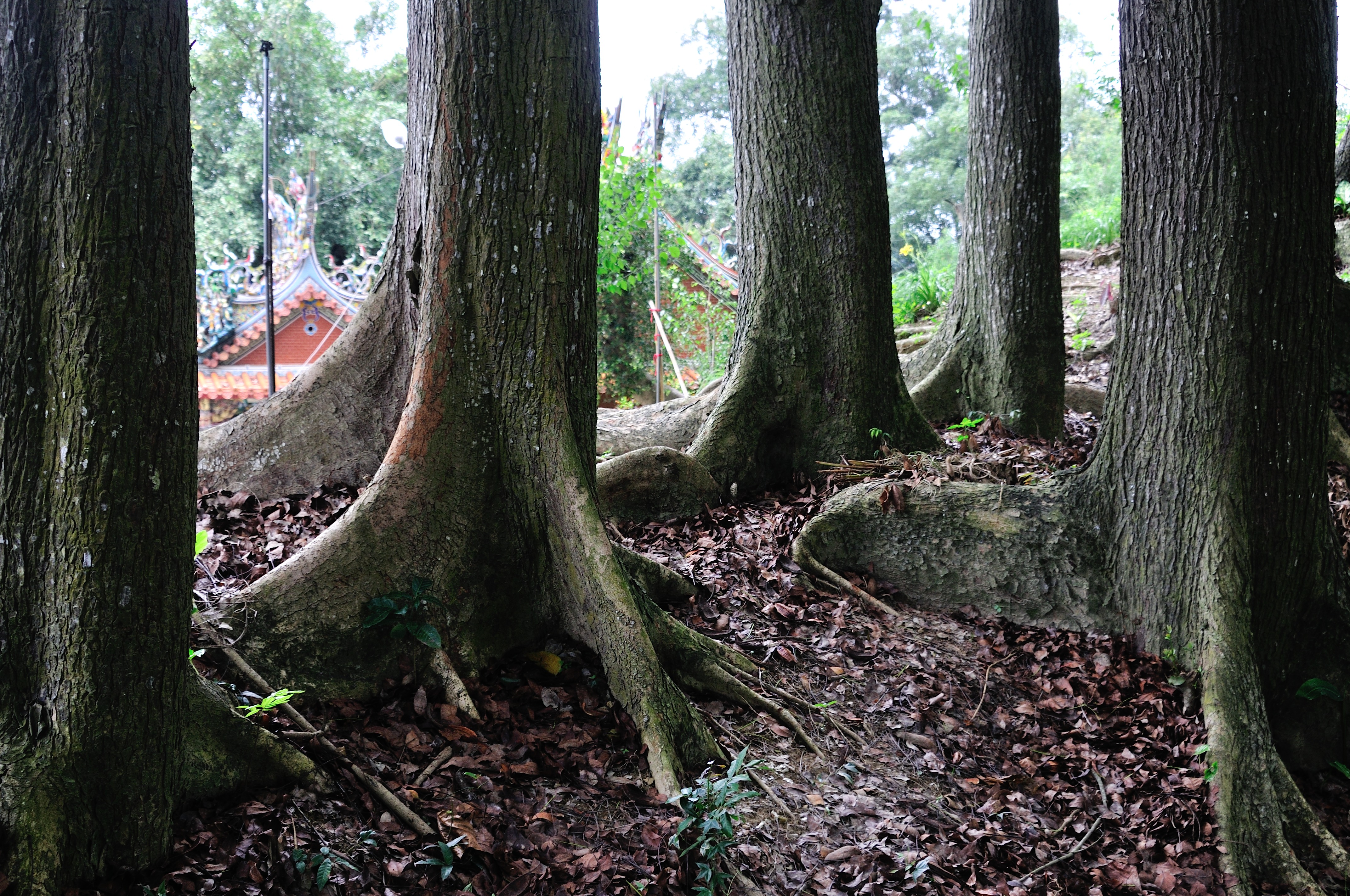
孟宗竹蔭隧道

county highway no.139乙

仰望

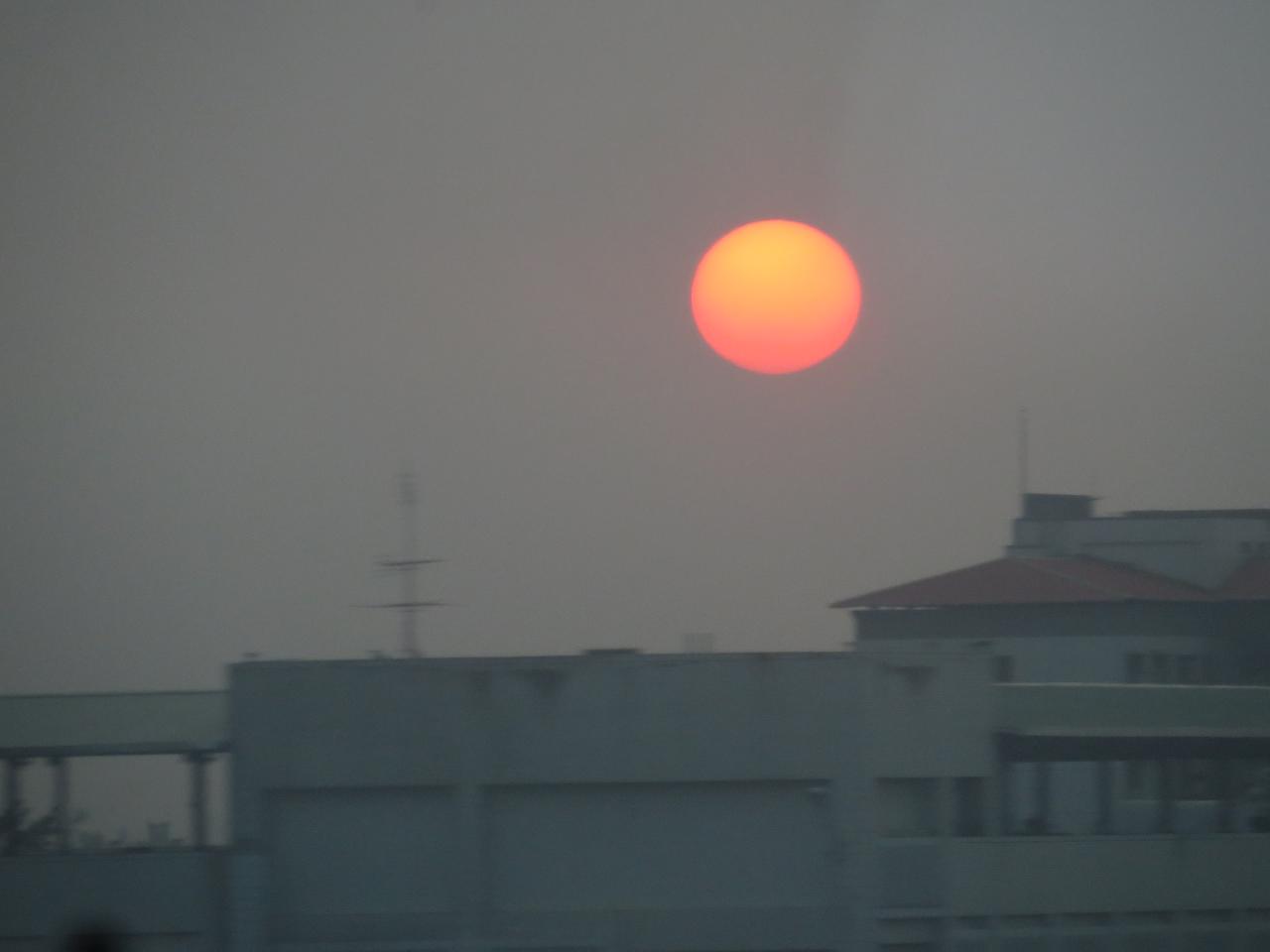
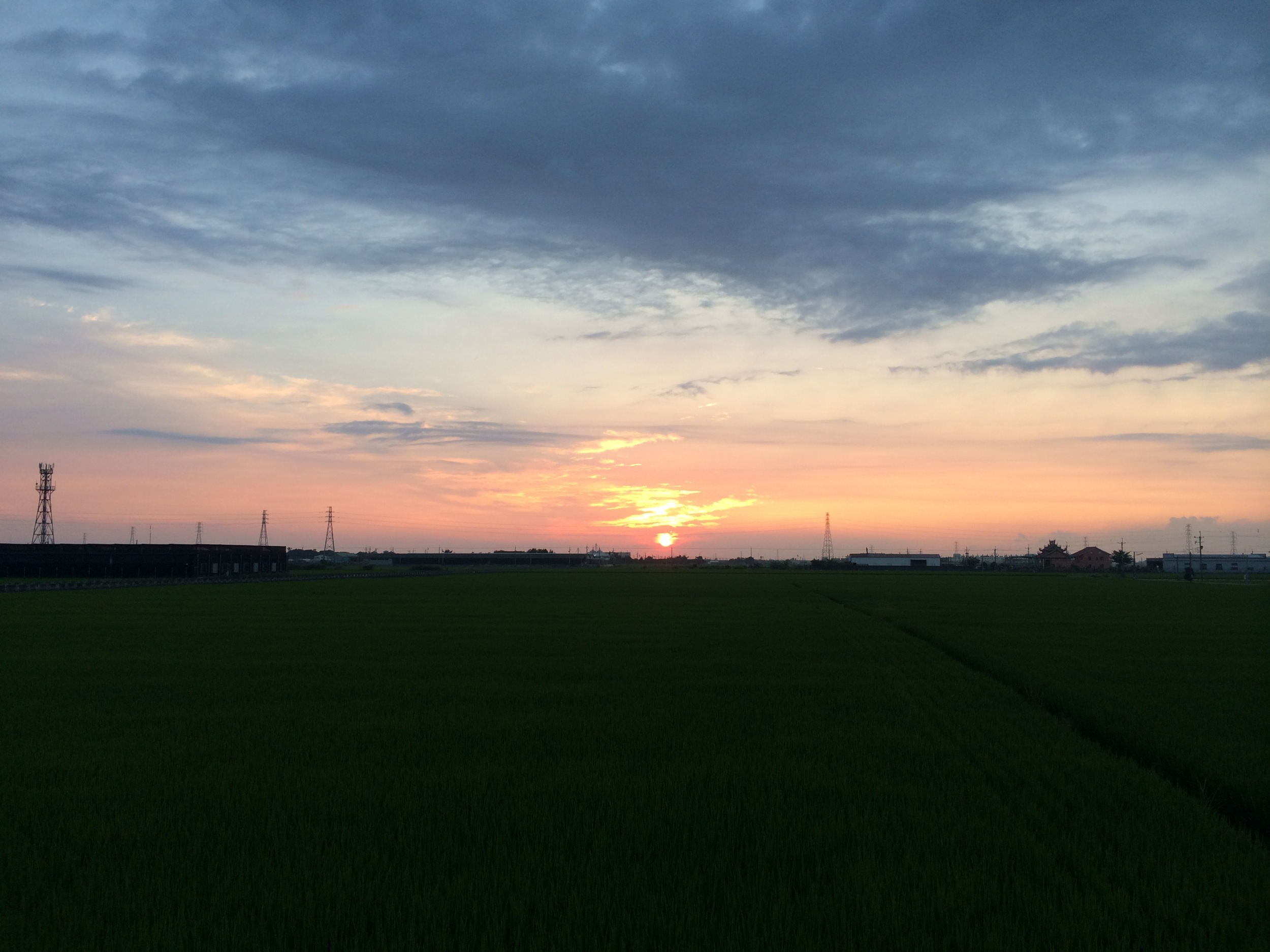
Golden Sunset 竹山夕照

老家附近‧夕陽

Exercise time #golf #nantou
IMG_0198.JPG

Camera Roll-37
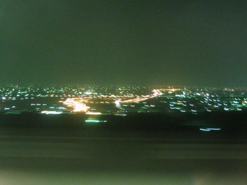
員工旅遊ing
Photos-110
20140531120656_D300_28-300_140_0134
2012-04-27 18.08.43

默默地在心中期待什麼?就算得到了又能如何?
After Sunset
Camera Roll-44

2012-04-24 18.26.03
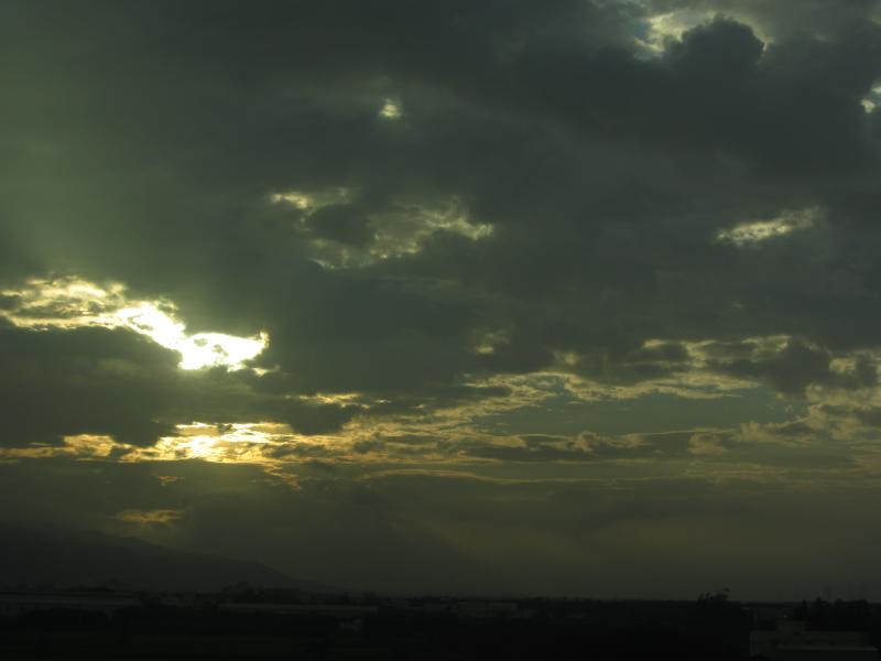
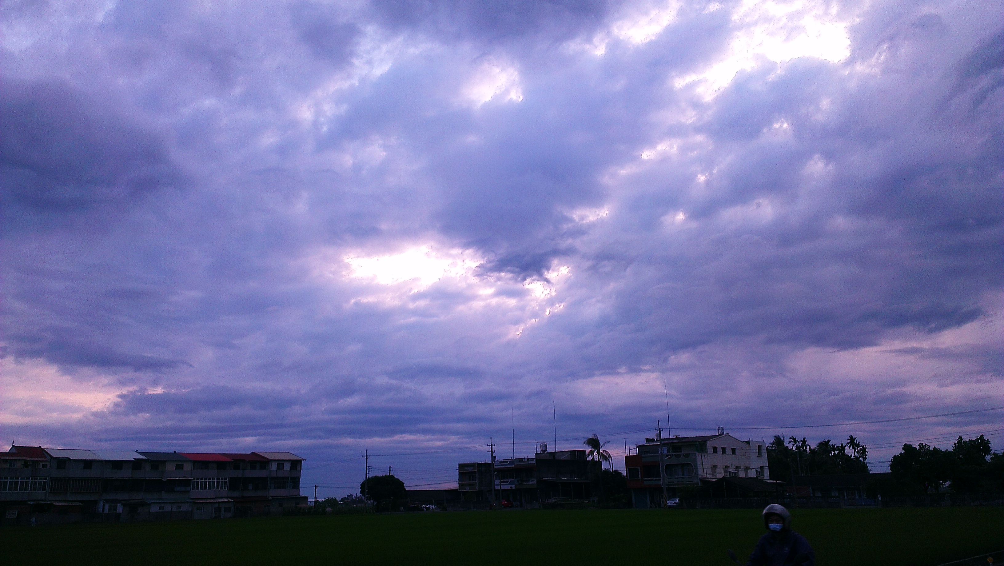
暴風雨前的寧靜~!
Topographic Map of No., Wannian E Rd, Douliu City, Yunlin County, Taiwan
Find elevation by address:

Places near No., Wannian E Rd, Douliu City, Yunlin County, Taiwan:
明德里
八德里
No. 6, Douliu 1st Rd, Douliu City, Yunlin County, Taiwan
No., Yinshan Rd, Douliu City, Yunlin County, Taiwan
Douliu City
39-1
No. 83, Xingnong Rd, Douliu City, Yunlin County, Taiwan
重光里
11-3
鎮南里
虎溪里
No., Jianxing Rd, Douliu City, Yunlin County, Taiwan
保庄里
Taiwan, Yunlin County, Gukeng Township, 雲鄉道號
崙峯里
No. 32, Gongqian Rd, Gukeng Township, Yunlin County, Taiwan
嘉東里
No. 23, Lunzhong Rd, Douliu City, Yunlin County, Taiwan
No. 16, Liucuo Rd, Douliu City, Yunlin County, Taiwan
長平里
Recent Searches:
- Elevation of Corso Fratelli Cairoli, 35, Macerata MC, Italy
- Elevation of Tallevast Rd, Sarasota, FL, USA
- Elevation of 4th St E, Sonoma, CA, USA
- Elevation of Black Hollow Rd, Pennsdale, PA, USA
- Elevation of Oakland Ave, Williamsport, PA, USA
- Elevation of Pedrógão Grande, Portugal
- Elevation of Klee Dr, Martinsburg, WV, USA
- Elevation of Via Roma, Pieranica CR, Italy
- Elevation of Tavkvetili Mountain, Georgia
- Elevation of Hartfords Bluff Cir, Mt Pleasant, SC, USA