Elevation of No., Dagong Rd, Luzhu District, Kaohsiung City, Taiwan
Location: Taiwan > Kaohsiung City > Luzhu District > 新達里 >
Longitude: 120.229863
Latitude: 22.8487111
Elevation: 8m / 26feet
Barometric Pressure: 101KPa
Elevation Map:
Satellite Map:
Related Photos:

20150206-DSC04186

Chimei museum / 奇美博物館

晚安、安平
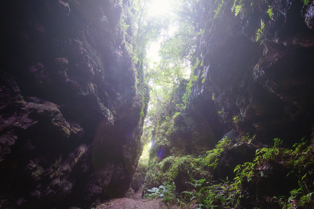
盤龍峽谷

巴克禮公園

IMG_1248.

高大 壘球場

#Gangshan my hometown

20150206-DSC04194

"Gotcha"

紅樹林保護區

黃金海岸

阿波羅噴泉廣場
Topographic Map of No., Dagong Rd, Luzhu District, Kaohsiung City, Taiwan
Find elevation by address:

Places near No., Dagong Rd, Luzhu District, Kaohsiung City, Taiwan:
新達里
No. 82, Shunan Rd, Luzhu District, Kaohsiung City, Taiwan
保寧里
後鄉里
No. 76, Bao'an Rd, Yong'an District, Kaohsiung City, Taiwan
Taiwan, Kaohsiung City, Yong'an District, 興達巷21號
No. 35, Yong'an Rd, Yong'an District, Kaohsiung City, Taiwan
No., Pingdeng St, Luzhu District, Kaohsiung City, Taiwan
竹東里
Luzhu District
Jiading District
崎漏里
No. 34, Xinxing Rd, Yong'an District, Kaohsiung City, Taiwan
海山里
Yong'an District
社中里
No., Dashe Rd, Luzhu District, Kaohsiung City, Taiwan
大湖里
新港里
No., Minquan Rd, Hunei District, Kaohsiung City, Taiwan
Recent Searches:
- Elevation of Corso Fratelli Cairoli, 35, Macerata MC, Italy
- Elevation of Tallevast Rd, Sarasota, FL, USA
- Elevation of 4th St E, Sonoma, CA, USA
- Elevation of Black Hollow Rd, Pennsdale, PA, USA
- Elevation of Oakland Ave, Williamsport, PA, USA
- Elevation of Pedrógão Grande, Portugal
- Elevation of Klee Dr, Martinsburg, WV, USA
- Elevation of Via Roma, Pieranica CR, Italy
- Elevation of Tavkvetili Mountain, Georgia
- Elevation of Hartfords Bluff Cir, Mt Pleasant, SC, USA