Elevation of No. 67, Zimao Rd, Yuanchang Township, Yunlin County, Taiwan
Location: Taiwan > Yunlin County > Yuanchang Township > 子茂村 >
Longitude: 120.332228
Latitude: 23.6601319
Elevation: 16m / 52feet
Barometric Pressure: 101KPa
Elevation Map:
Satellite Map:
Related Photos:

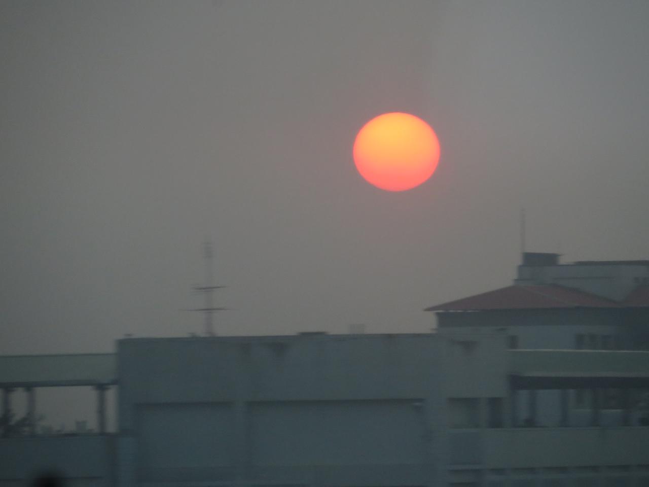
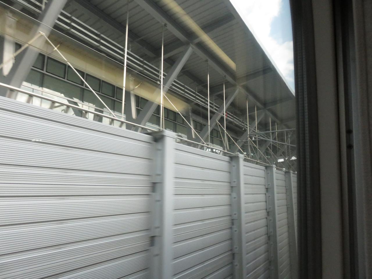
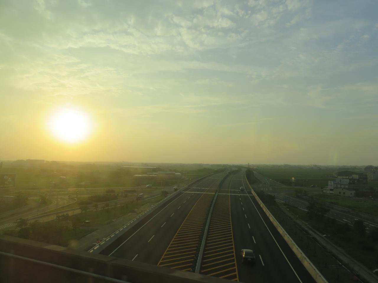
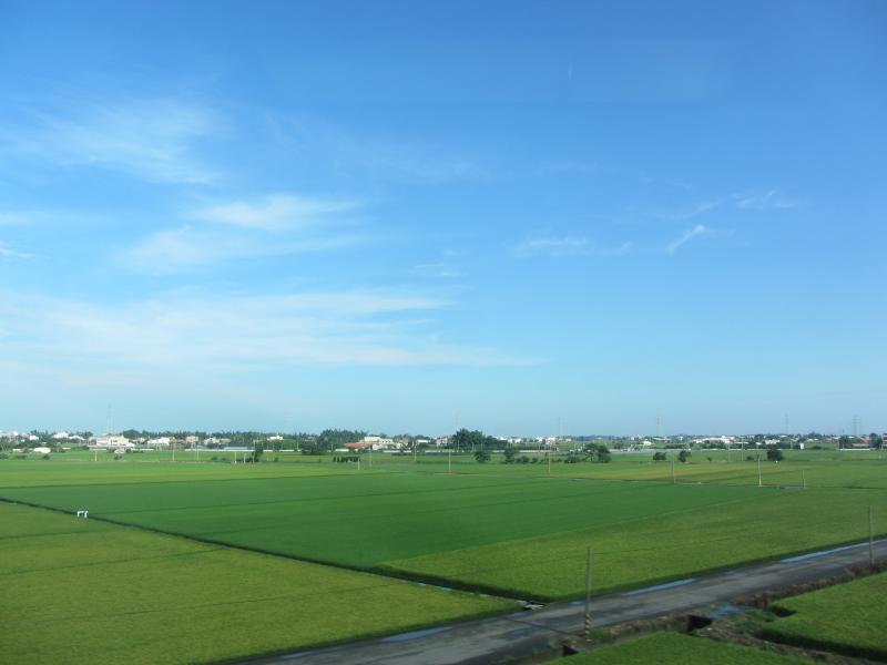
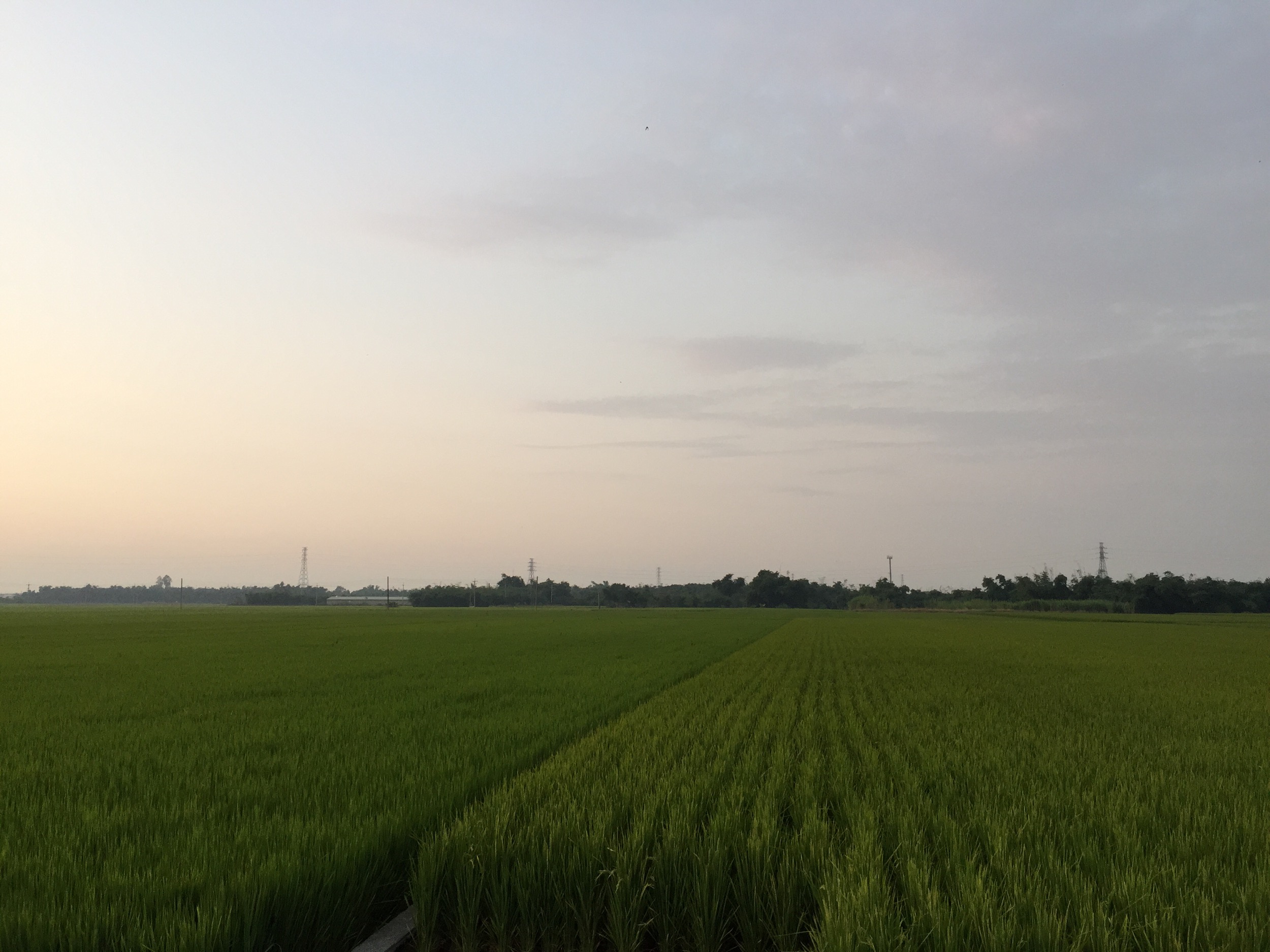
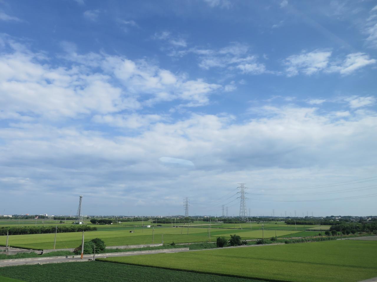
View From THSR Window
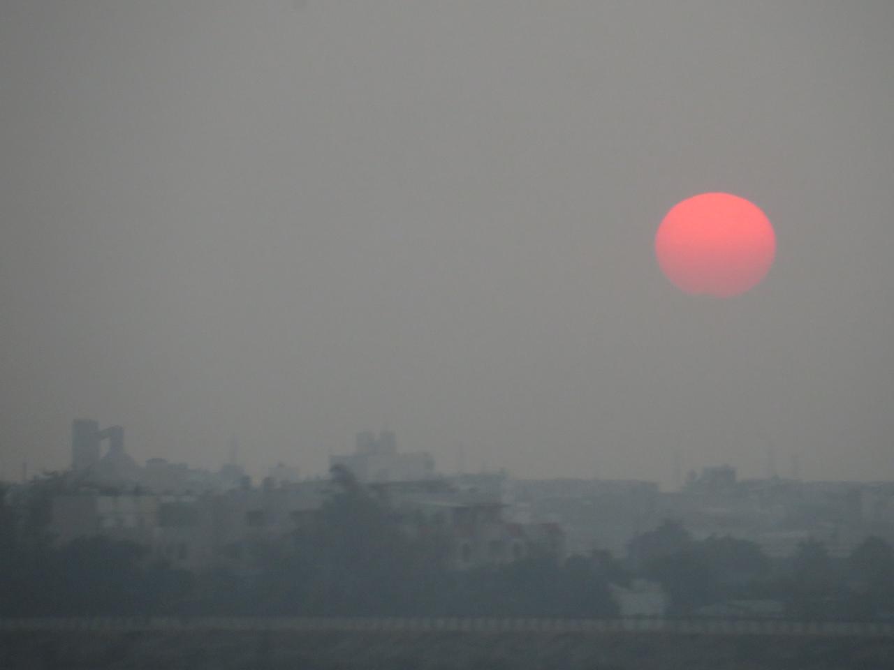
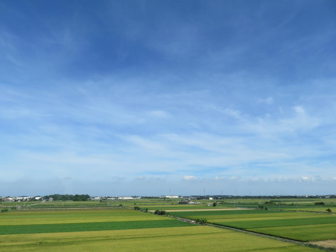
View From THSR Window
View From THSR Window
View From THSR Window
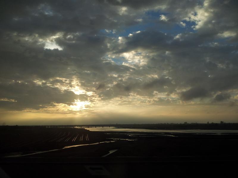
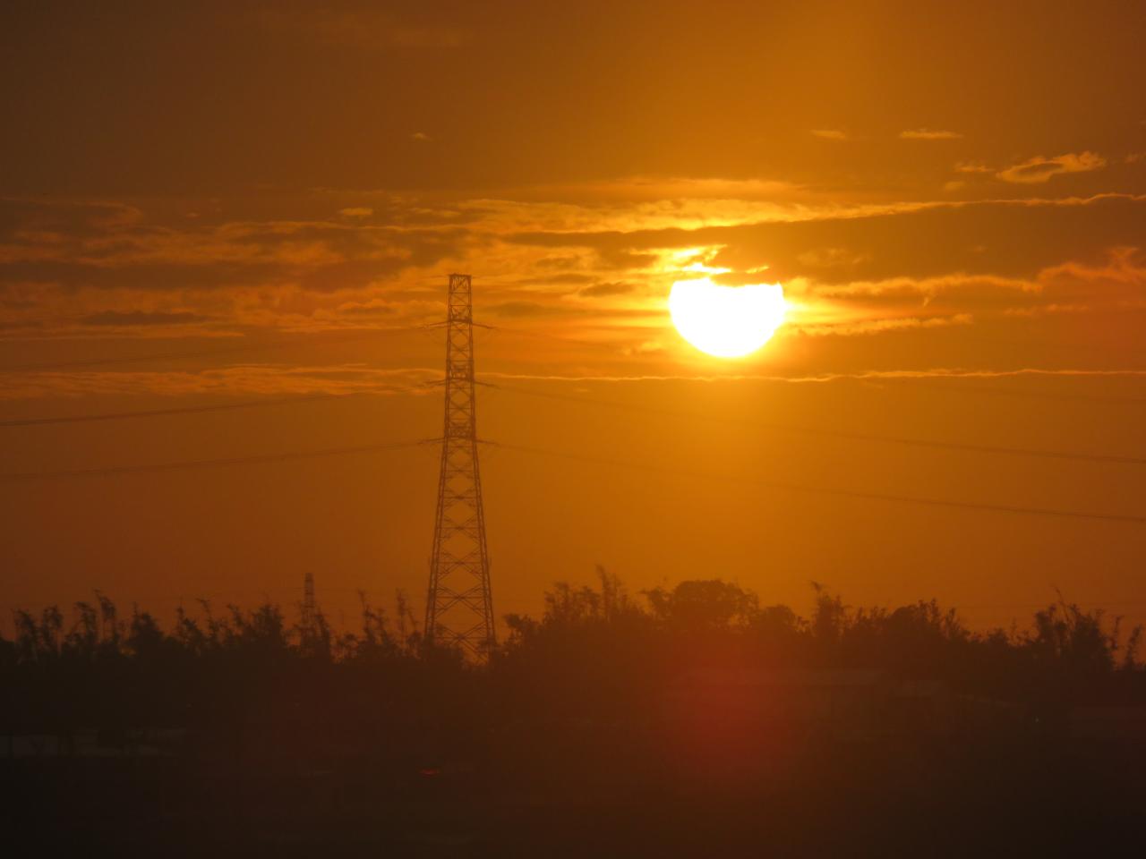
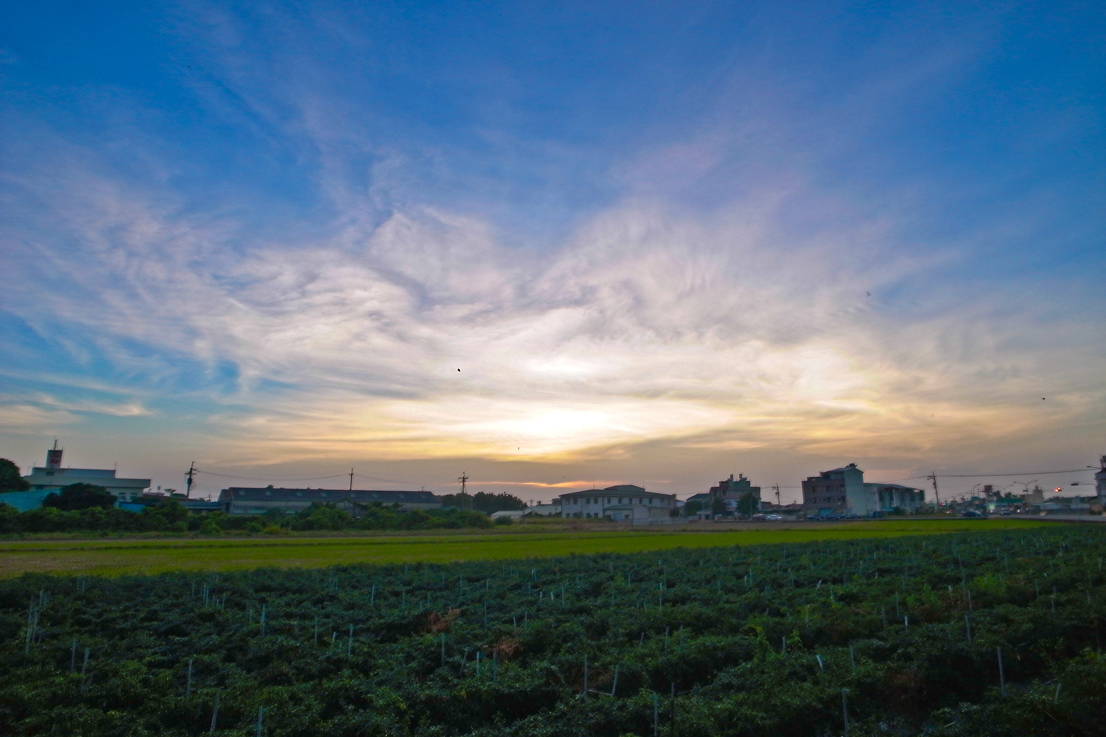
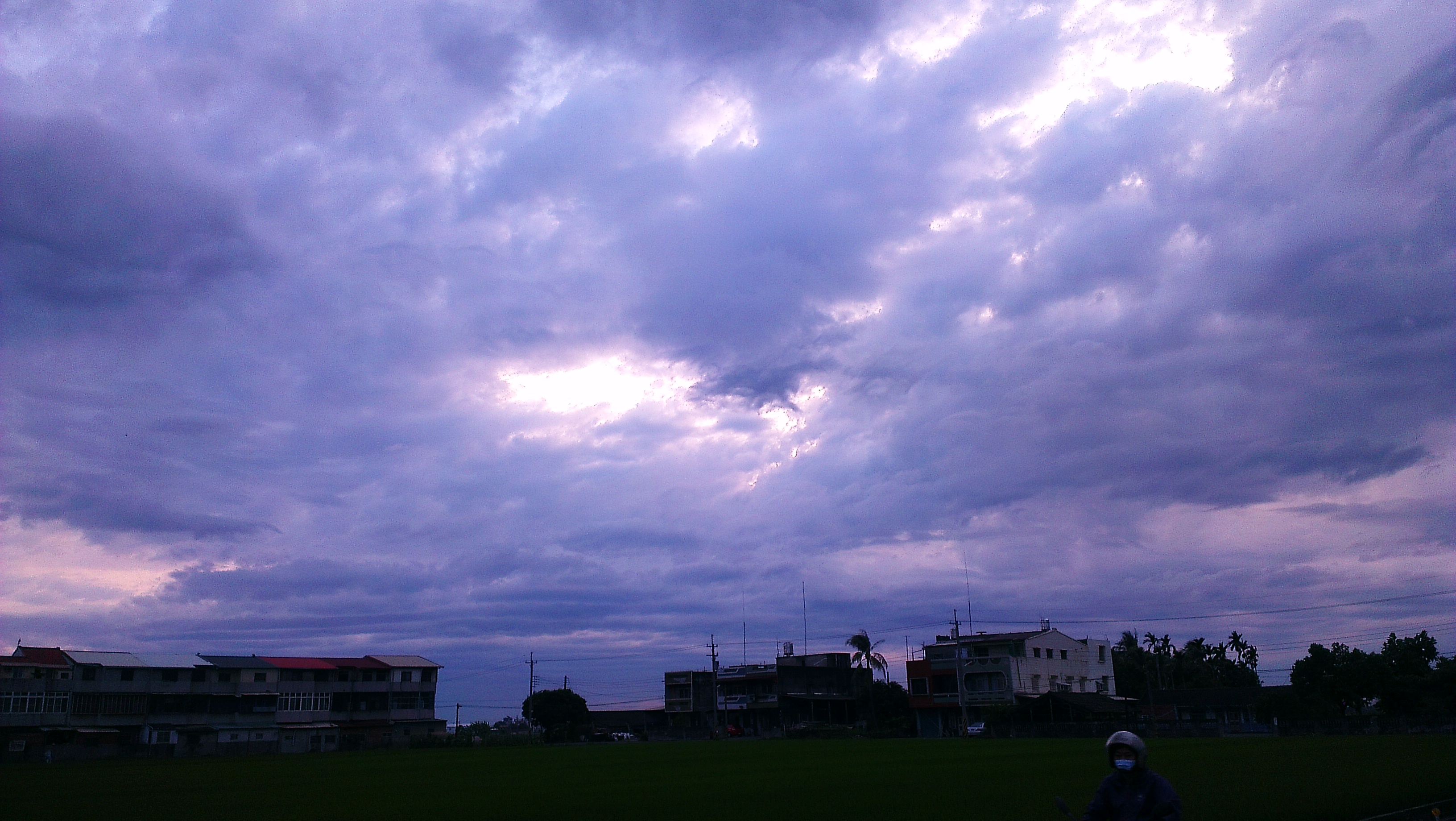
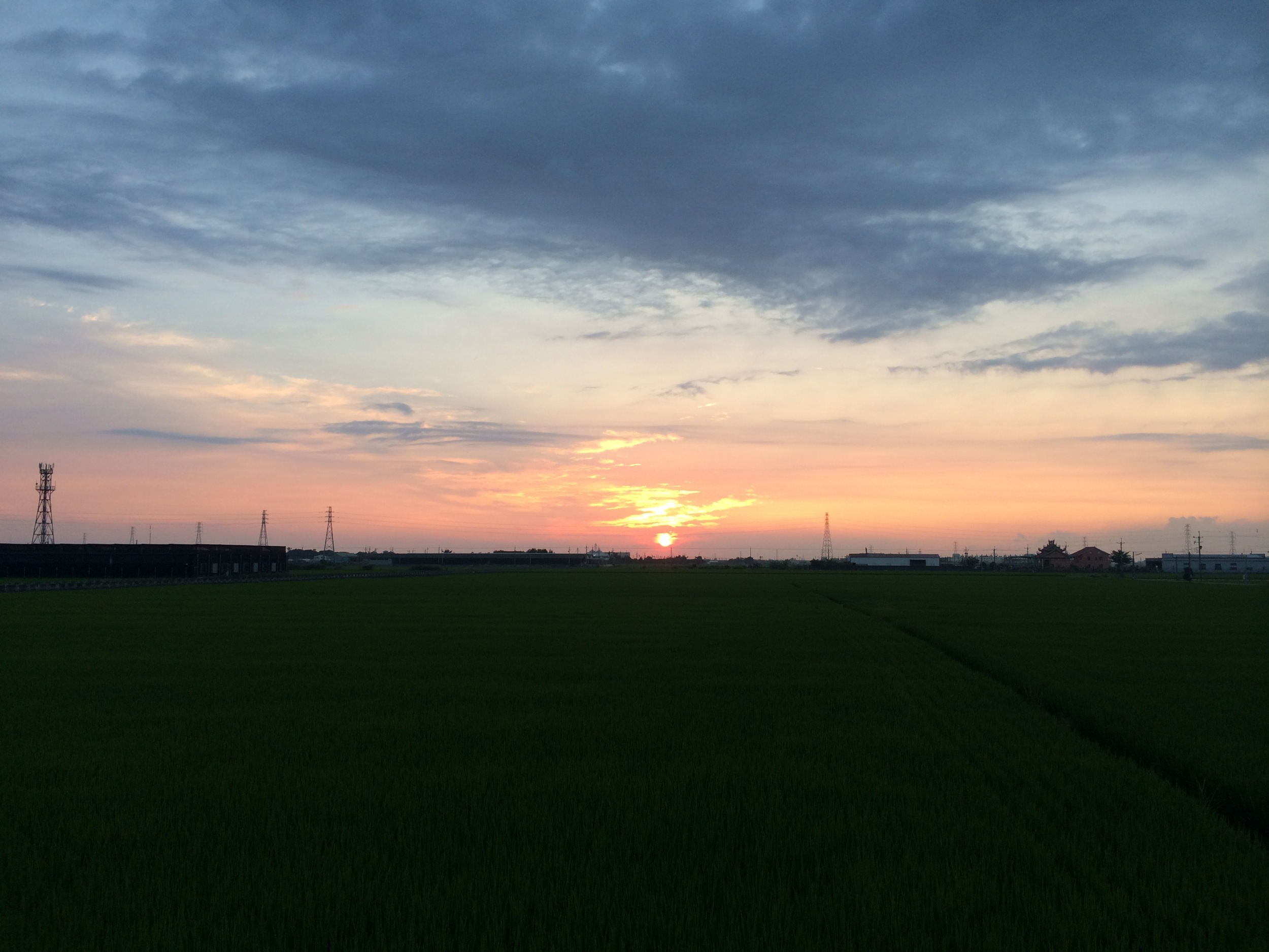
Sunset (View From THSR Window)

View From THSR Window
View From THSR Window
View From THSR Window

View From THSR Window
View From THSR Window

View From THSR Window
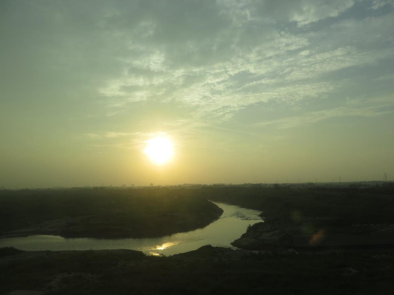
Sunset (View From THSR Window)
View From THSR Window
View From THSR Window

View From THSR Window
View From THSR Window

View From THSR Window

View From THSR Window
View From THSR Window
View From THSR Window
View From THSR Window

Camera Roll-38
Waiting for Sunset
新港油菜花田20140101_IMG_2049_18

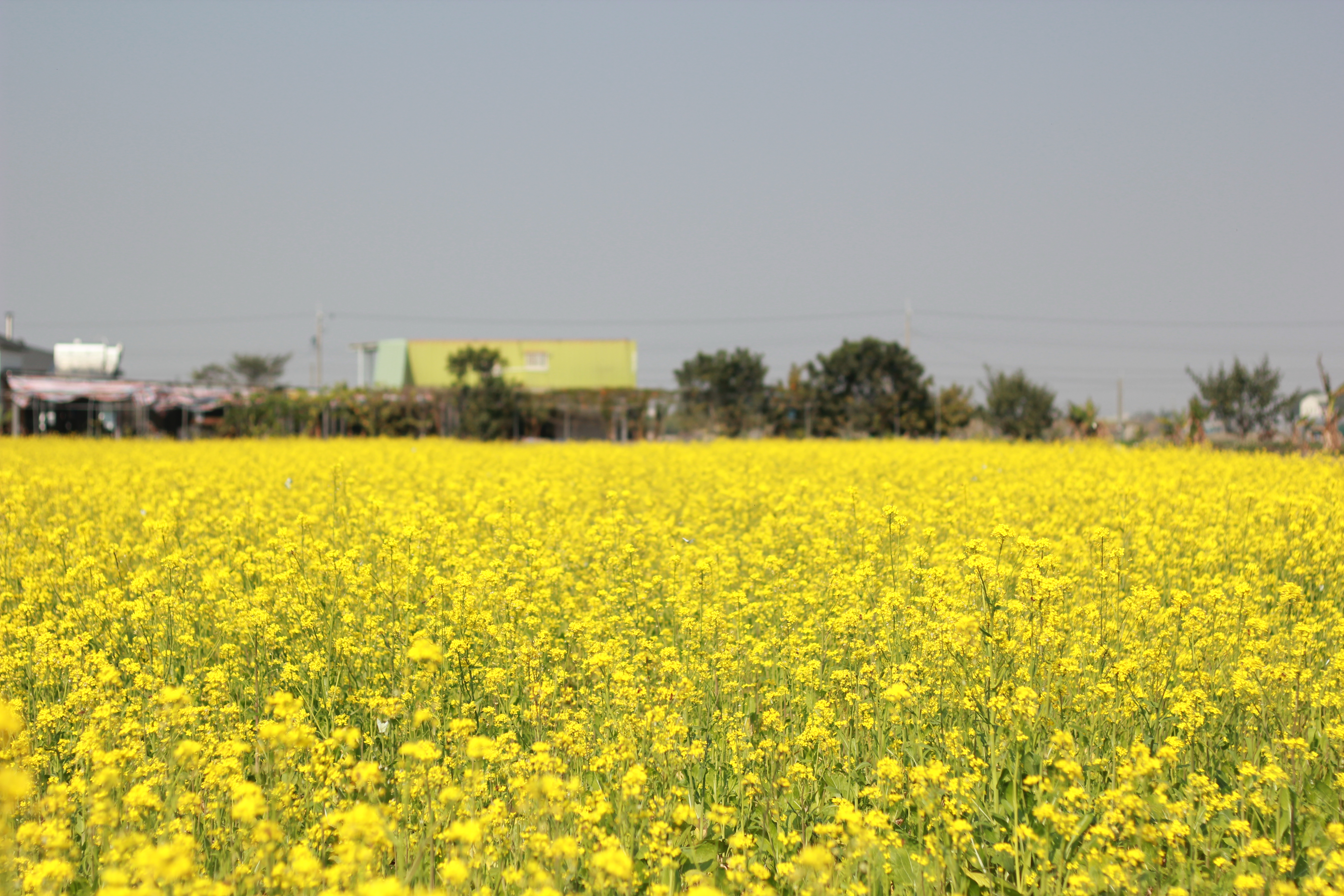
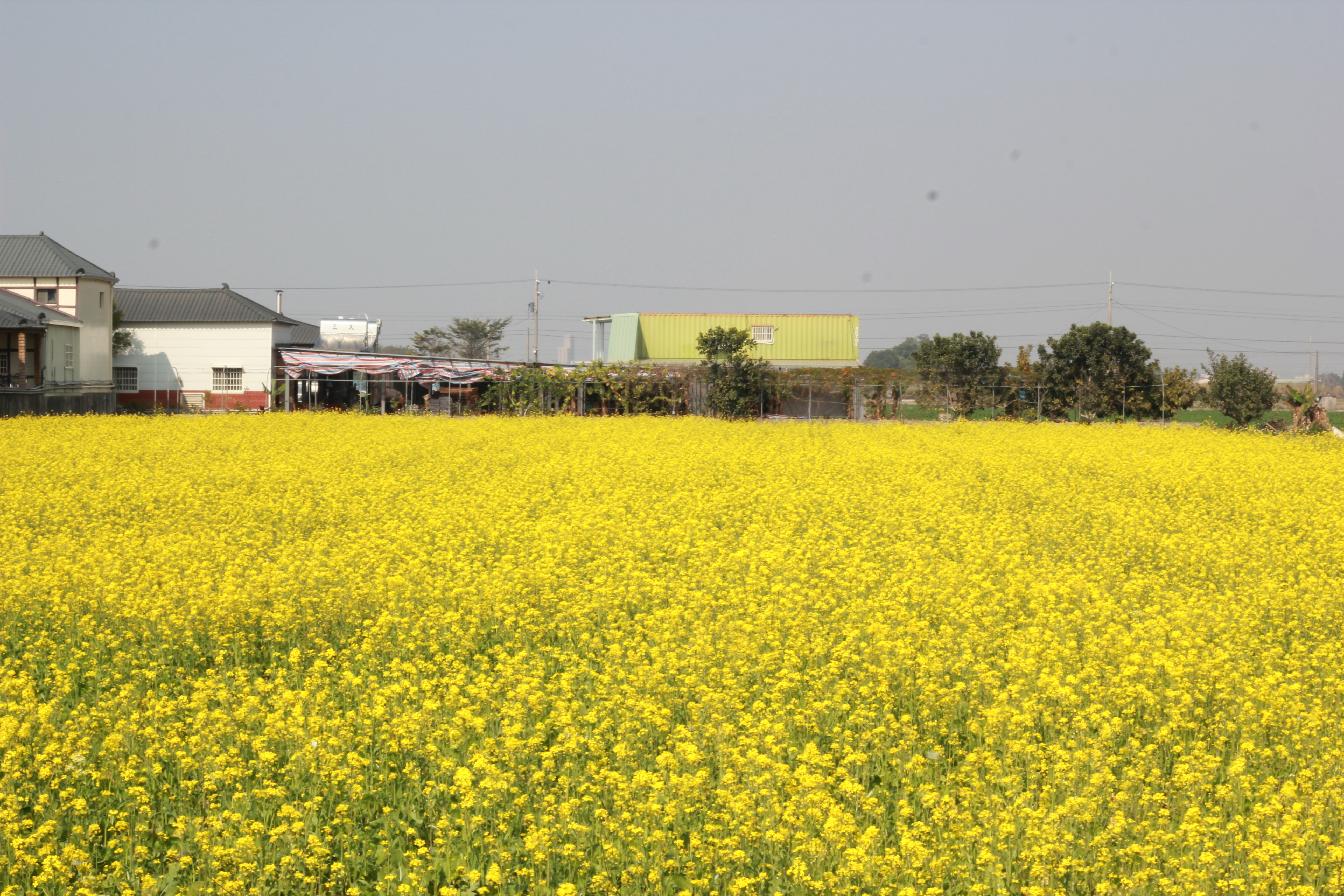
新港油菜花田20140101_IMG_2109_138

Camera Roll-37
新港油菜花田20140101_IMG_2110_140
Photos-110

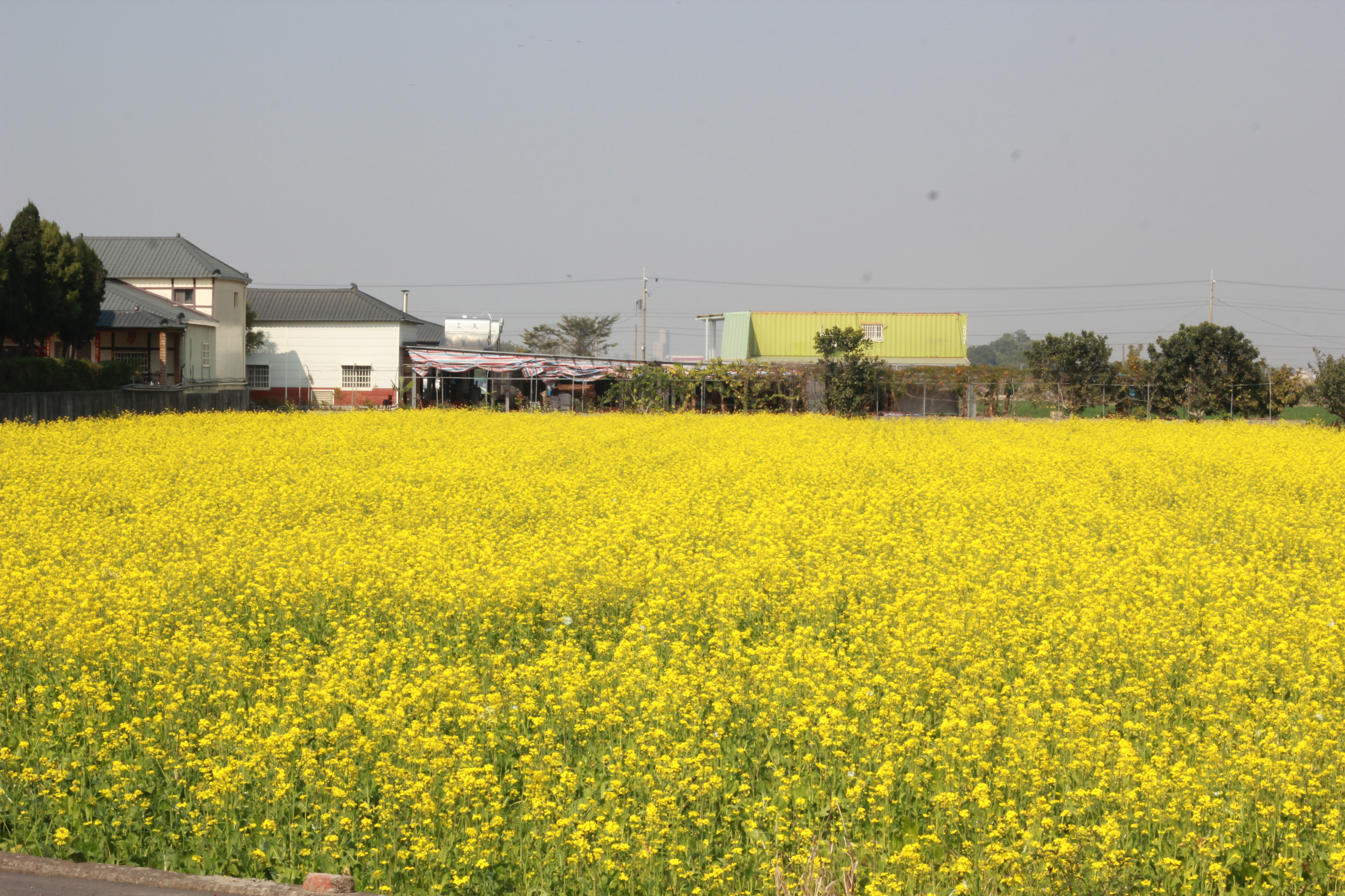
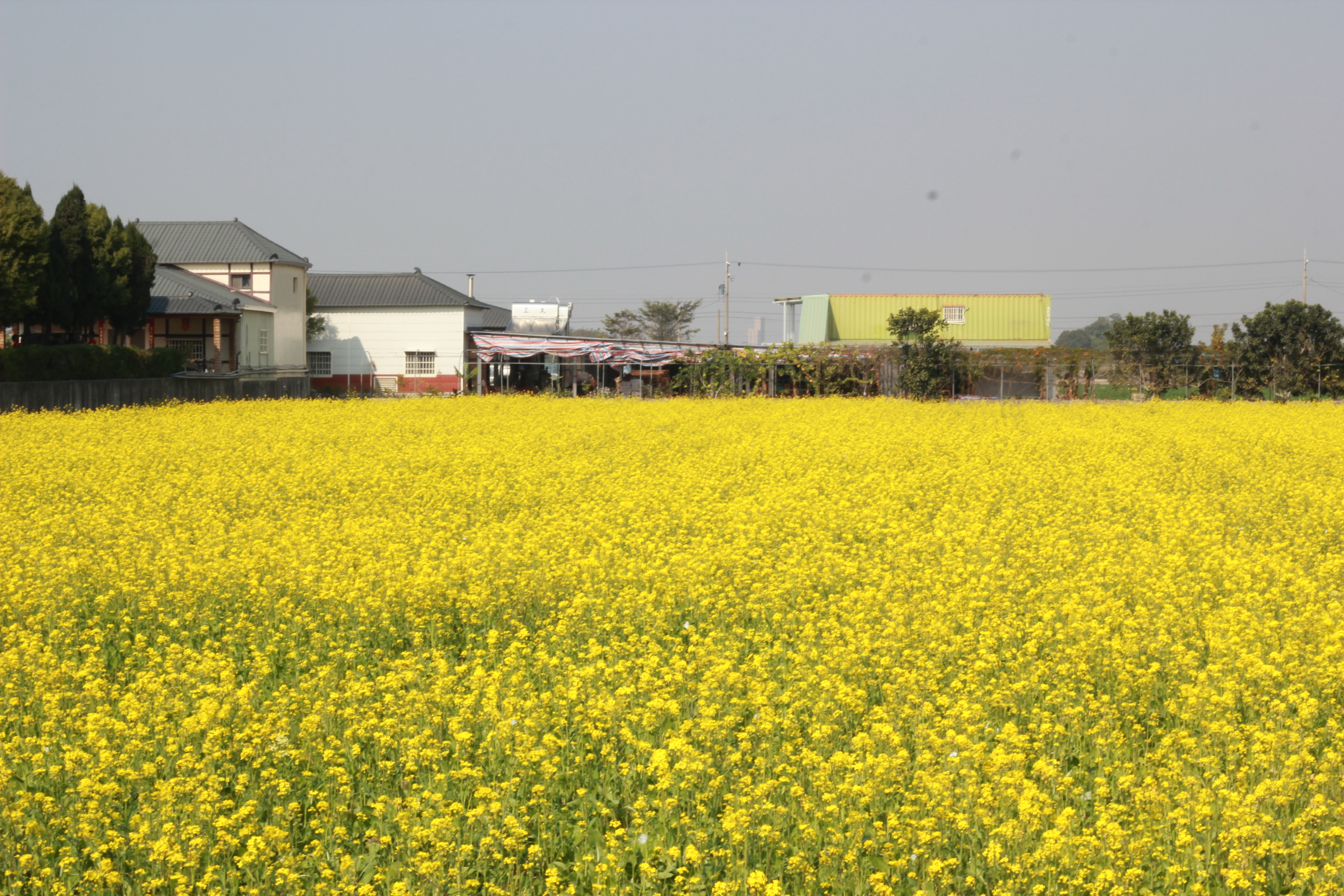
新港油菜花田20140101_IMG_2095_110
2012-04-27 18.08.43
新港油菜花田20140101_IMG_2115_150
View From THSR Window
View From THSR Window
Camera Roll-44

2012-04-24 18.26.03

風和日麗

IMG_3022.jpg
雲林台西
新港油菜花田20140101_IMG_2114_148

IMG_3313.JPG

A playground
Topographic Map of No. 67, Zimao Rd, Yuanchang Township, Yunlin County, Taiwan
Find elevation by address:

Places near No. 67, Zimao Rd, Yuanchang Township, Yunlin County, Taiwan:
子茂村
Taiwan, Yunlin County, Tuku Township, 雲鄉道26號
Taiwan, Yunlin County, Tuku Township, 55
No. 2, Ren'ai St, Yuanchang Township, Yunlin County, Taiwan
卓運村
山內村
長南村
No. 5, Zhuangnei Rd, Yuanchang Township, Yunlin County, Taiwan
埤腳里
奮起里
No. 3, Nanshan Rd, Yuanchang Township, Yunlin County, Taiwan
Yuanchang Township
22-1號
53-2
崙內
Tuku Township
崙內里
Taiwan, Yunlin County, Yuanchang Township, 62
龍岩村
73-17
Recent Searches:
- Elevation of Corso Fratelli Cairoli, 35, Macerata MC, Italy
- Elevation of Tallevast Rd, Sarasota, FL, USA
- Elevation of 4th St E, Sonoma, CA, USA
- Elevation of Black Hollow Rd, Pennsdale, PA, USA
- Elevation of Oakland Ave, Williamsport, PA, USA
- Elevation of Pedrógão Grande, Portugal
- Elevation of Klee Dr, Martinsburg, WV, USA
- Elevation of Via Roma, Pieranica CR, Italy
- Elevation of Tavkvetili Mountain, Georgia
- Elevation of Hartfords Bluff Cir, Mt Pleasant, SC, USA