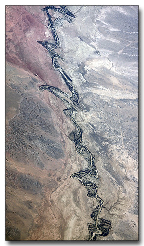
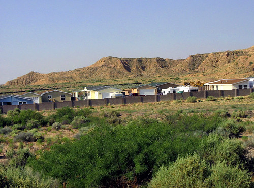
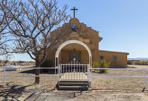
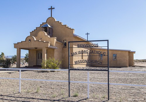
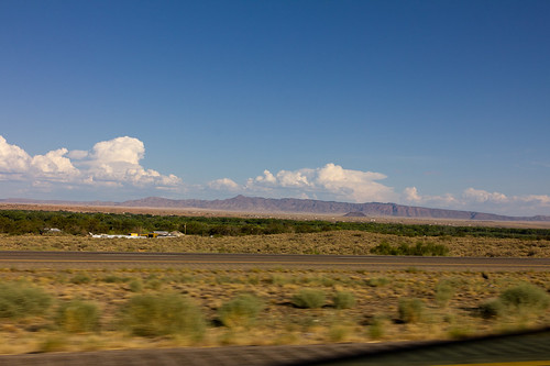
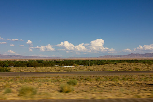
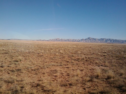
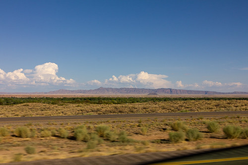
Elevation of NM-, Belen, NM, USA
Location: United States > New Mexico > Belen >
Longitude: -106.74809
Latitude: 34.574016
Elevation: 1465m / 4806feet
Barometric Pressure: 85KPa
Related Photos:
Topographic Map of NM-, Belen, NM, USA
Find elevation by address:

Places near NM-, Belen, NM, USA:
5 Mikson Loop, Belen, NM, USA
Jarales
Cordova Loop, Belen, NM, USA
Bosque
New Mexico Army National Guard
Old U.S. 85, Belen, NM, USA
Veguita
Los Trujillos-gabaldon
NM-, Belen, NM, USA
40 Fermin Chavez Rd
Orlando Avenue & Flores Street
52 Carlos Martinez Rd, Veguita, NM, USA
345 Gorman Ave
Sunrise Bluffs
111 Las Nutrias Rd
Belen
NM-, Bosque, NM, USA
NM-, Veguita, NM, USA
867 Don Felipe Rd
2 Salado Ave
Recent Searches:
- Elevation of Corso Fratelli Cairoli, 35, Macerata MC, Italy
- Elevation of Tallevast Rd, Sarasota, FL, USA
- Elevation of 4th St E, Sonoma, CA, USA
- Elevation of Black Hollow Rd, Pennsdale, PA, USA
- Elevation of Oakland Ave, Williamsport, PA, USA
- Elevation of Pedrógão Grande, Portugal
- Elevation of Klee Dr, Martinsburg, WV, USA
- Elevation of Via Roma, Pieranica CR, Italy
- Elevation of Tavkvetili Mountain, Georgia
- Elevation of Hartfords Bluff Cir, Mt Pleasant, SC, USA
