Elevation of Nixa, MO, USA
Location: United States > Missouri > Christian County > Garden Grove Township >
Longitude: -93.294353
Latitude: 37.0433863
Elevation: 396m / 1299feet
Barometric Pressure: 97KPa
Elevation Map:
Satellite Map:
Related Photos:

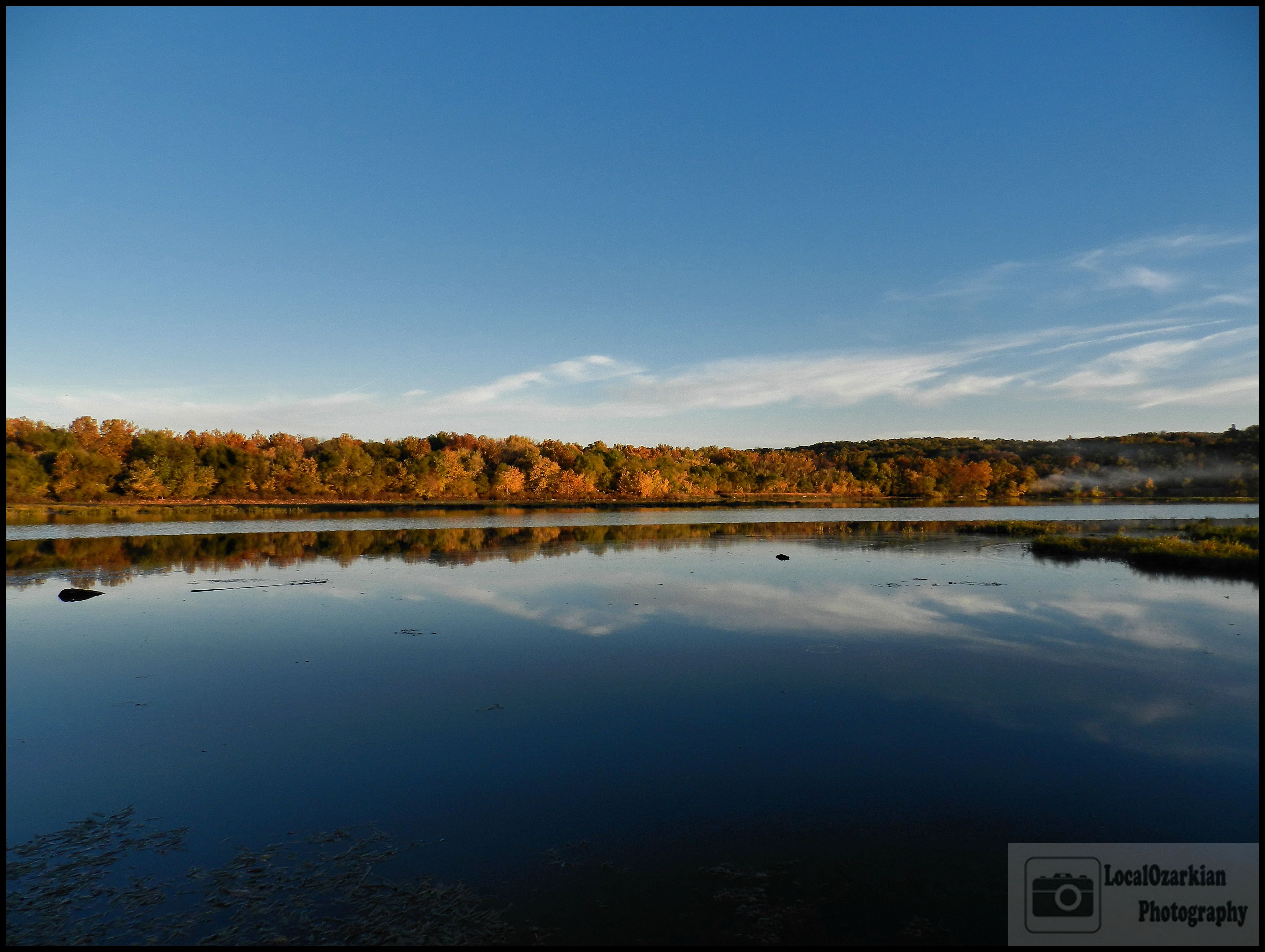
Autumn Zen

I'm looking right at you! View Large!
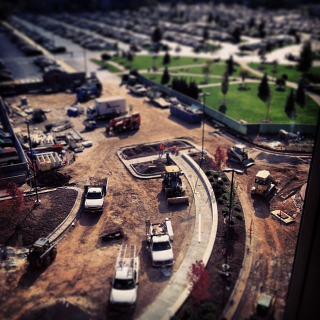
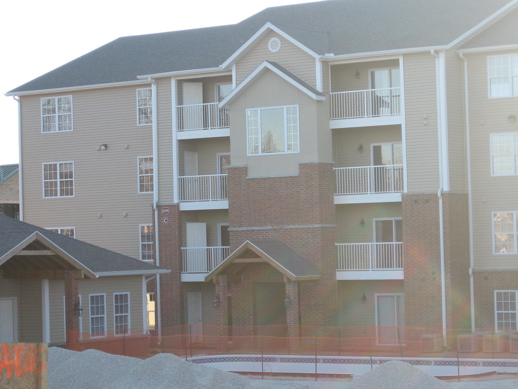
Construction views.

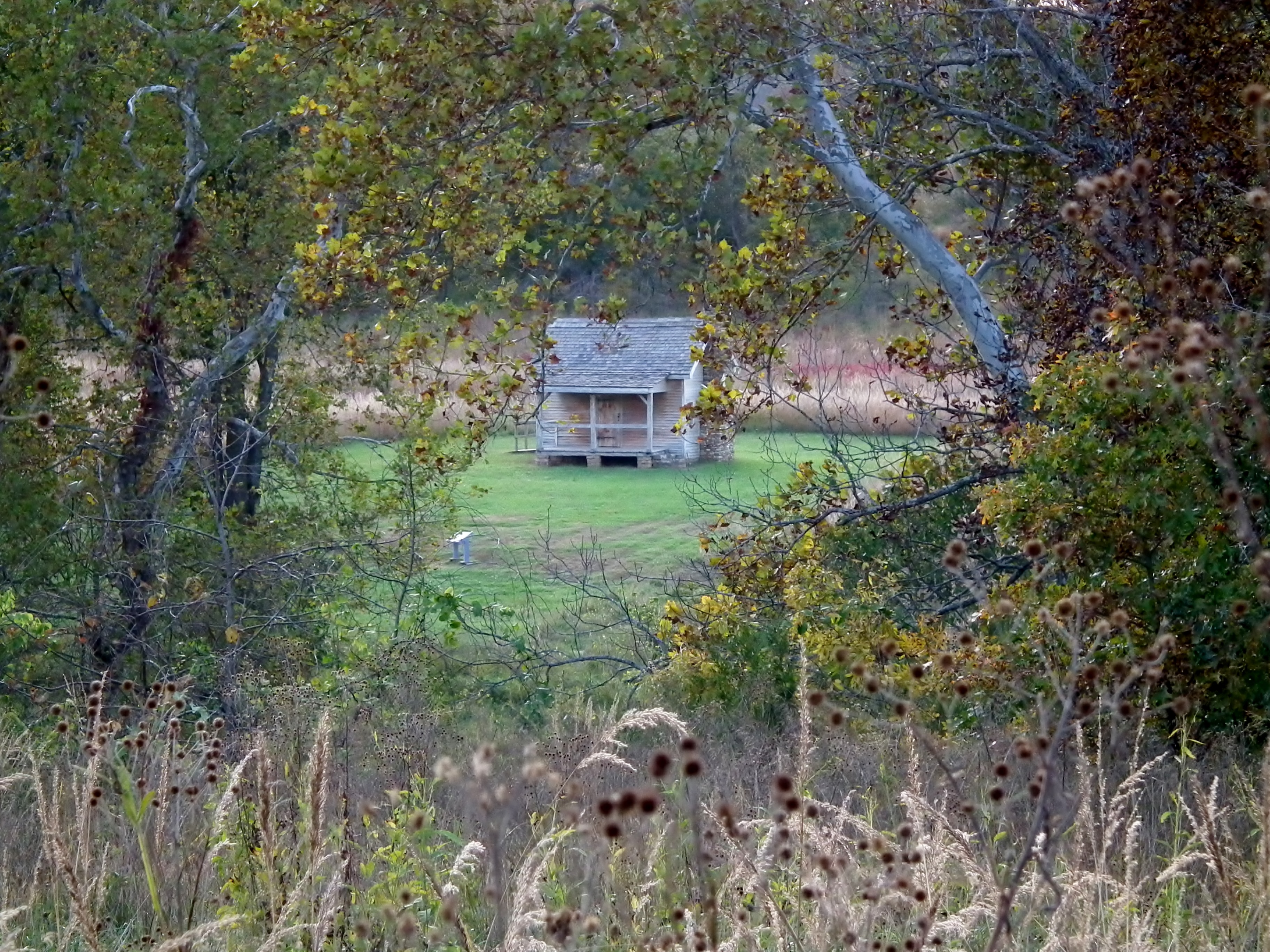
The Ray House

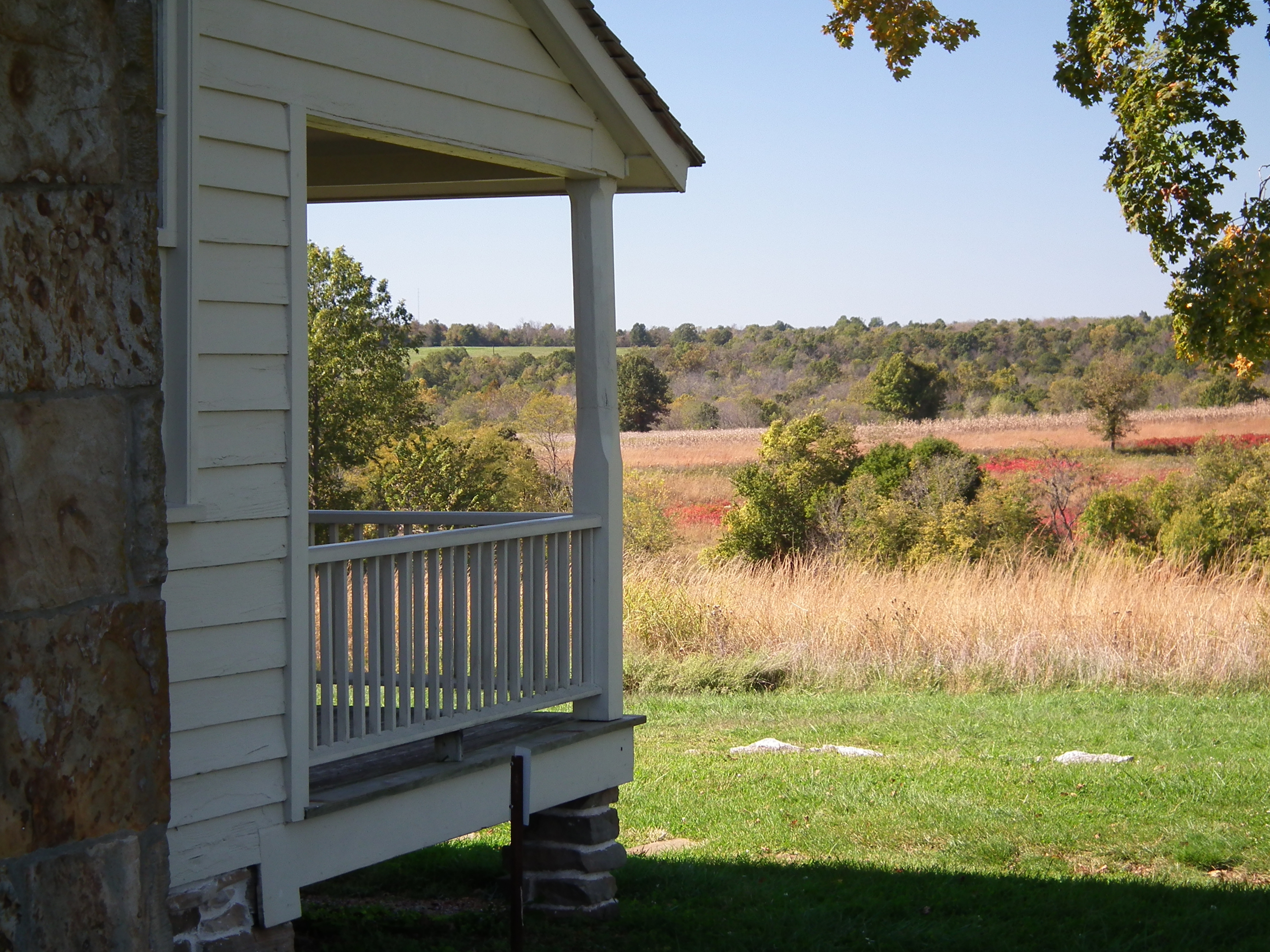
Enjoying The View At Eagle Point

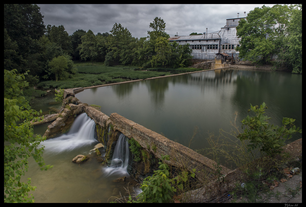
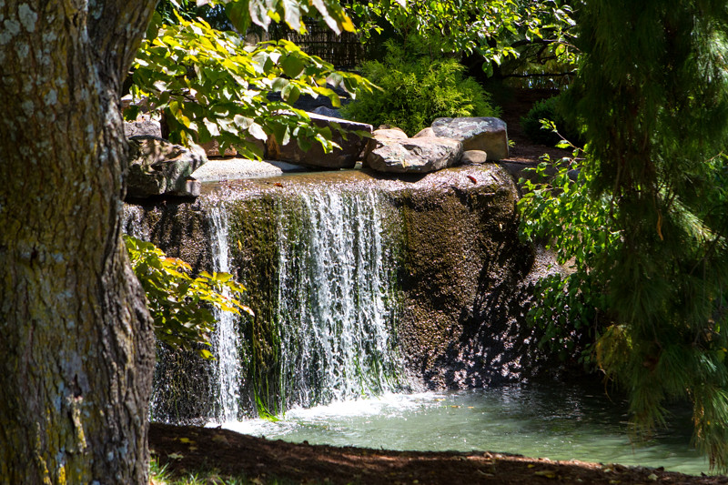
Finley river falls at the Ozark Mill
Ozark Mill - No. 1
a peace of history
General Sterling Price's Headquarters

Ozark Mill - No. 2

Our window didn't have a very nice view. But the last few minutes we were there, we saw a helicopter taking off. Pretty cool!

Enjoying the View
Andy's
Old Mill
World's Biggest Fork 3
Ozark Mill - No. 3

View from the bath
coryell crossing
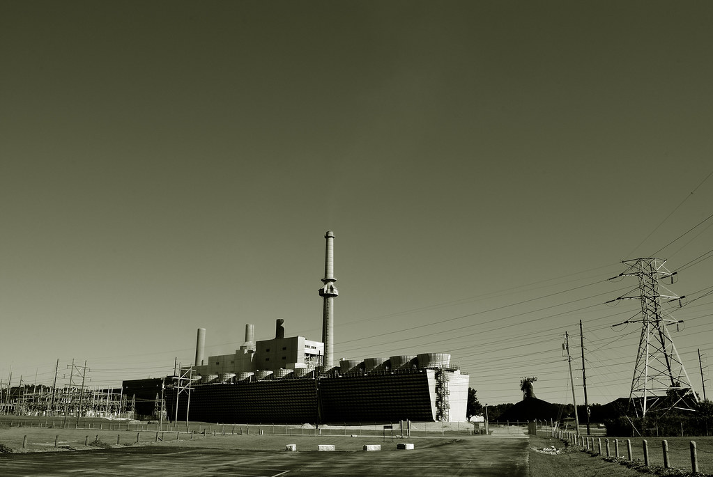
Springfield Power Plant

Breakfast at Aunt Martha's Pancake House

View from Heaven
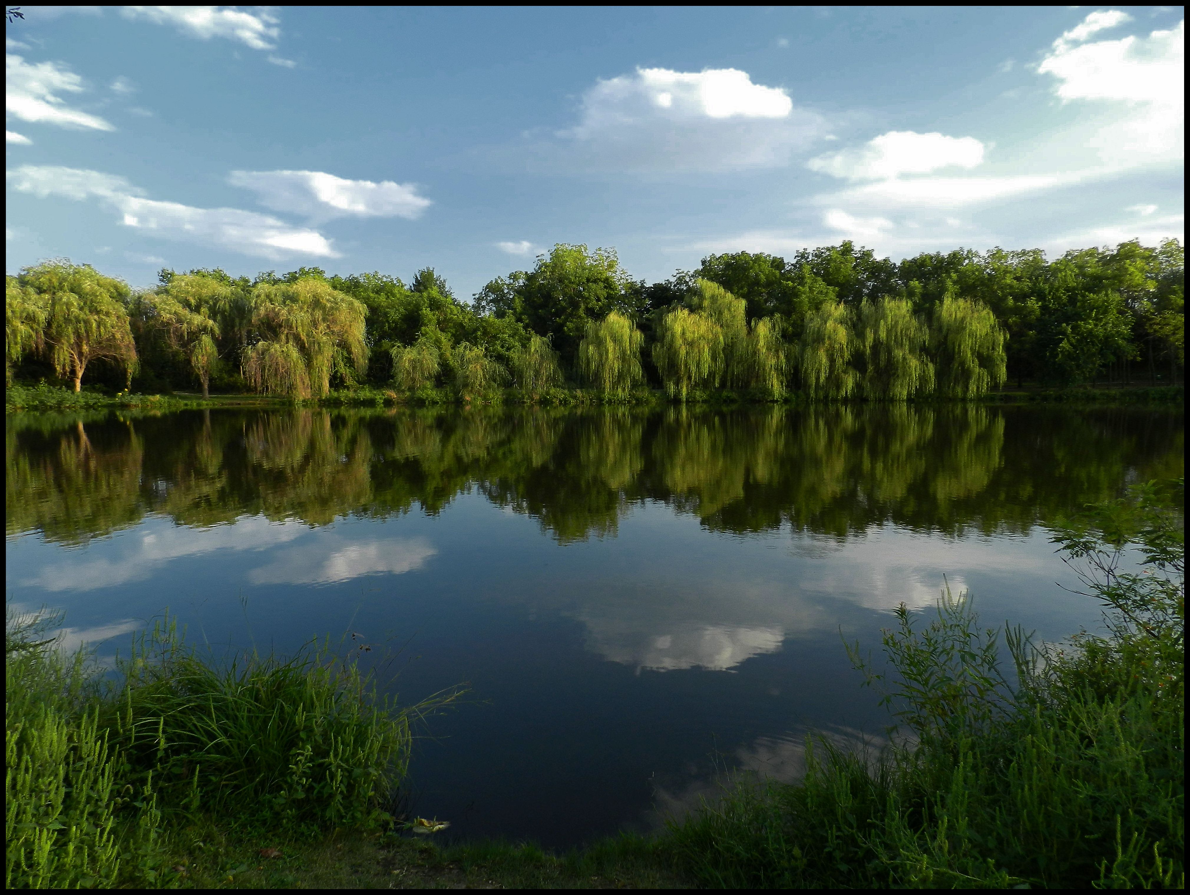
Drummond Lake
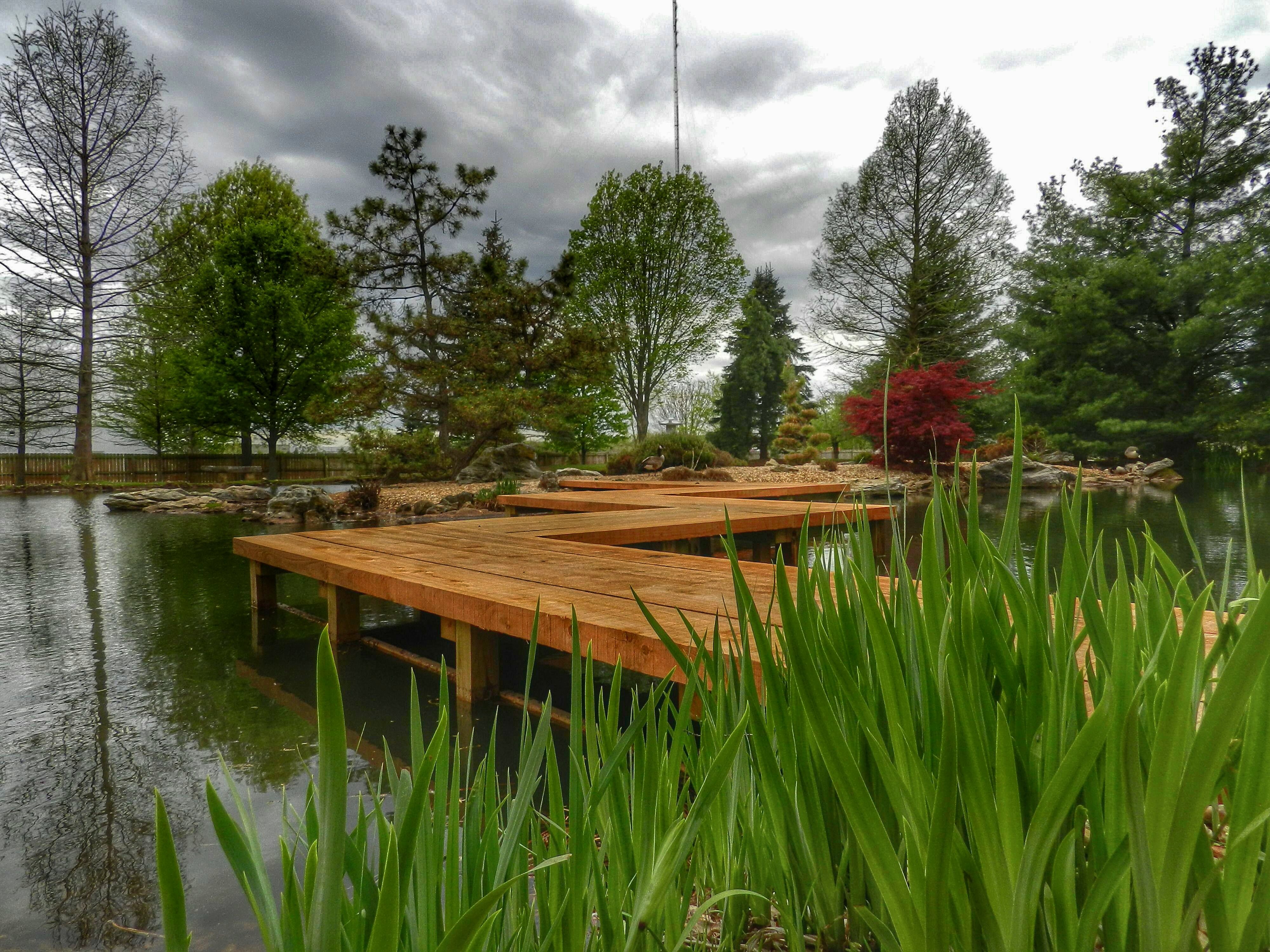
Mizumoto Japanese Stroll Garden

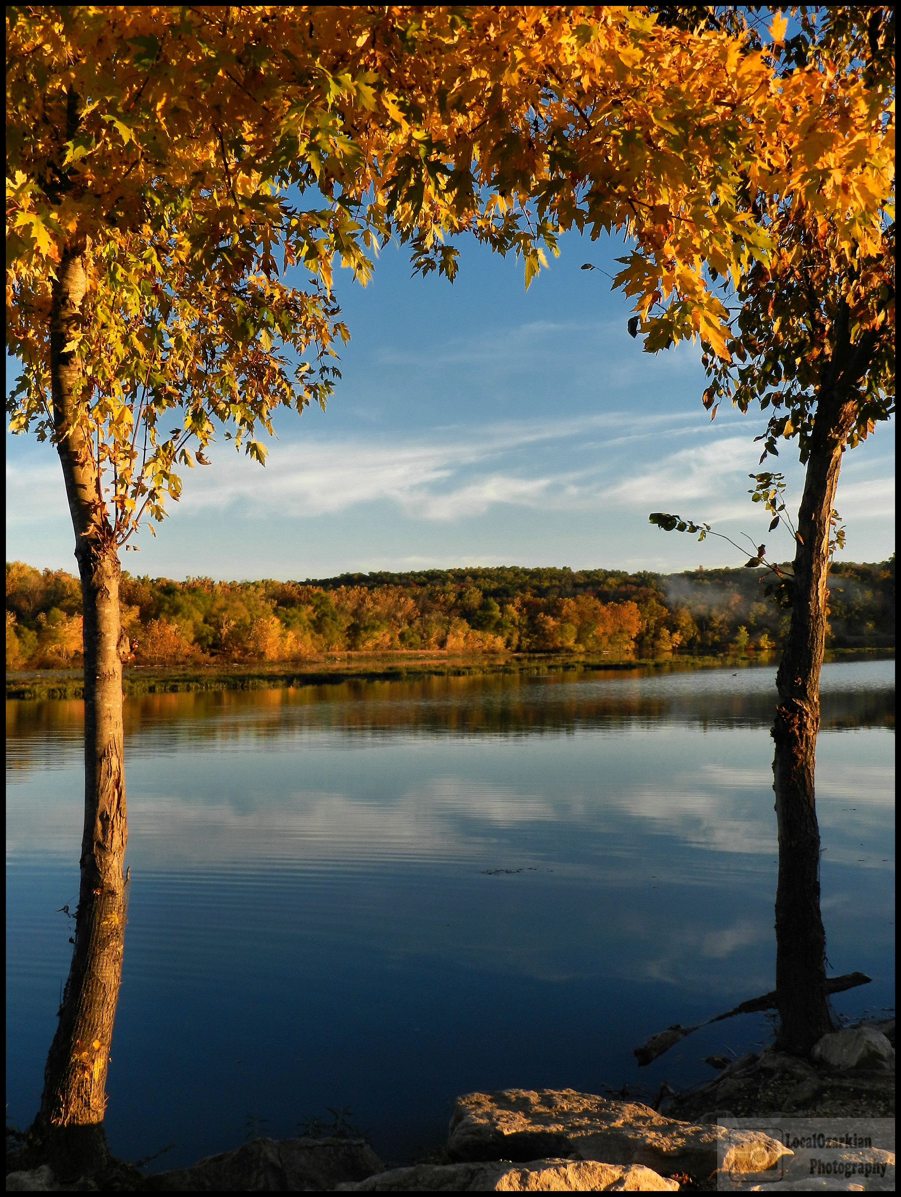
Follow The Color

Tonight's Sunset
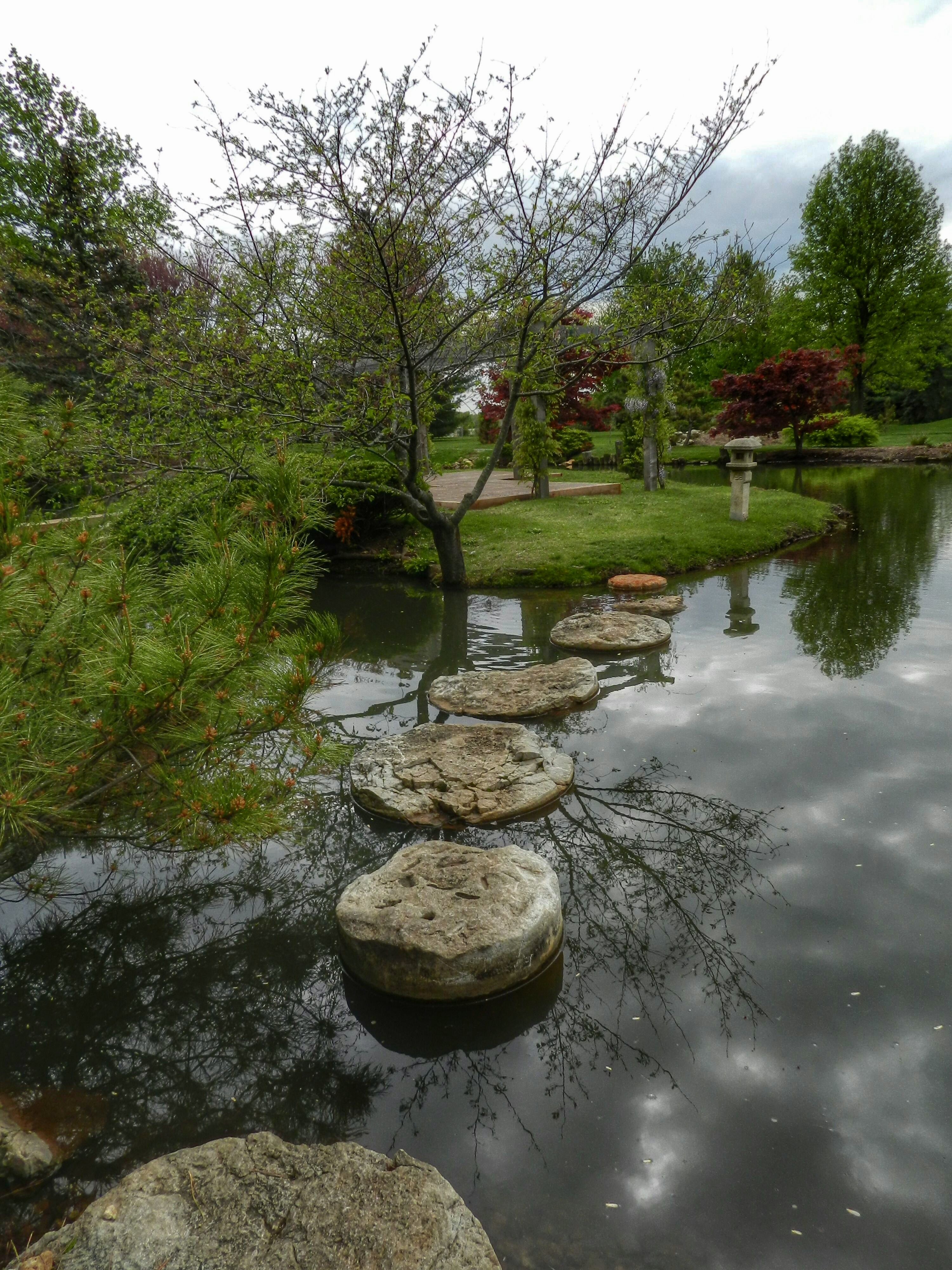
Mizumoto Japanese Stroll Garden
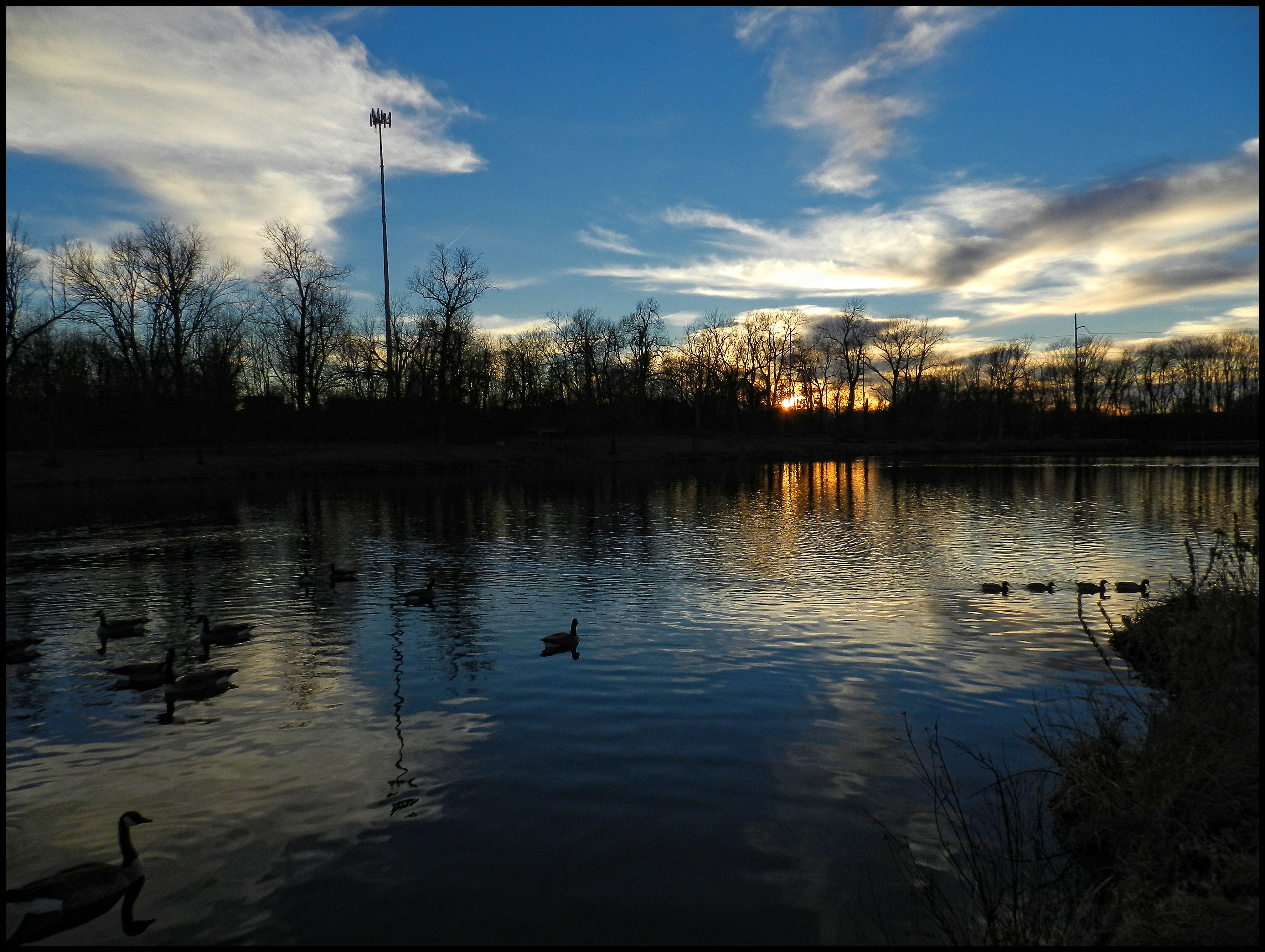
Tonight's Sunset

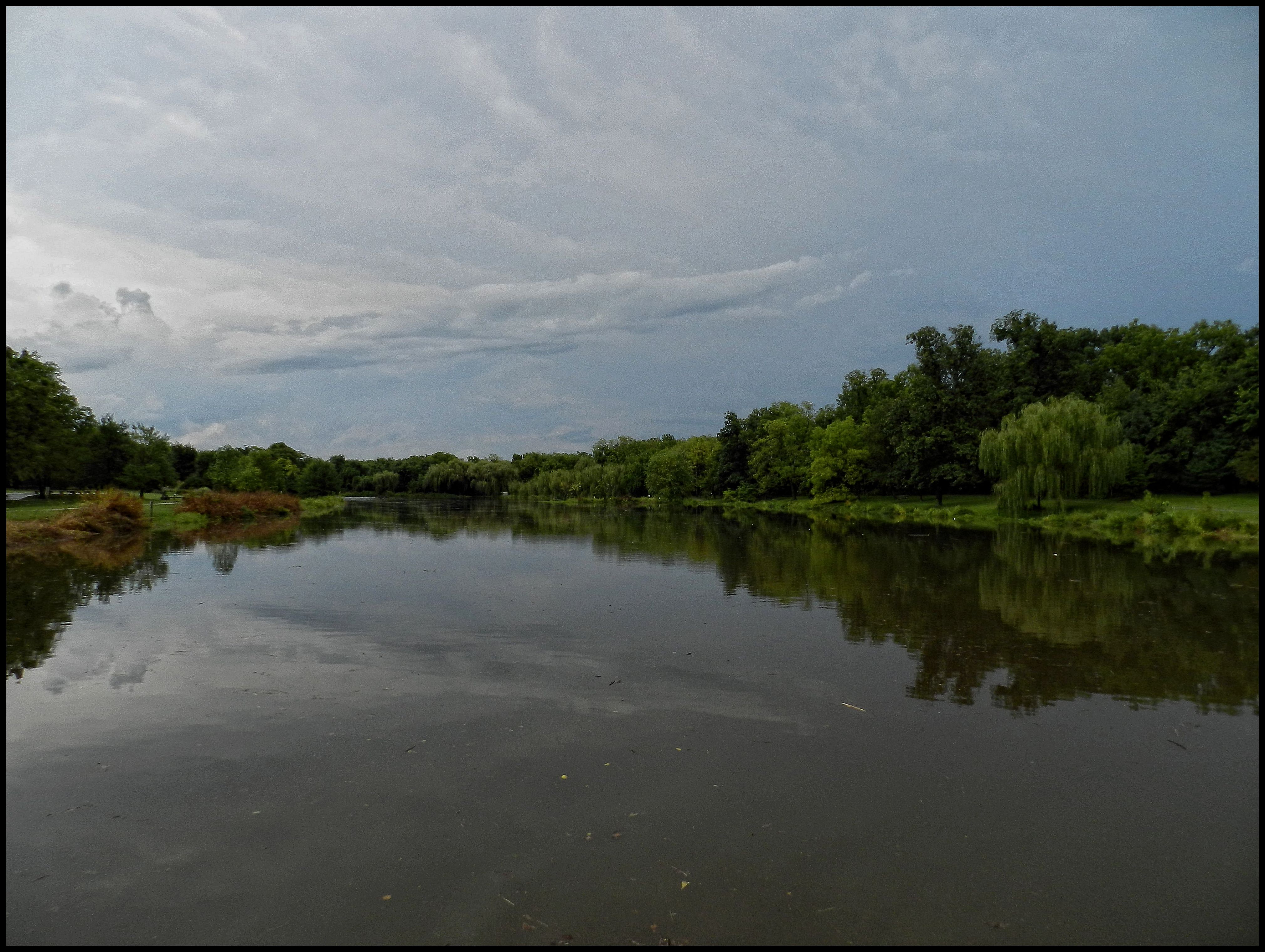
Lake Springfield

Springfield Conservation Nature Center

Mizumoto Japanese Stroll Garden
20150919_12573401-Edit.jpg

The sky is on fire!
Lake Springfield
Fall At Lake Springfield

Skipper (Butterfly)
Nathaniel Greene
Fall At Lake Springfield
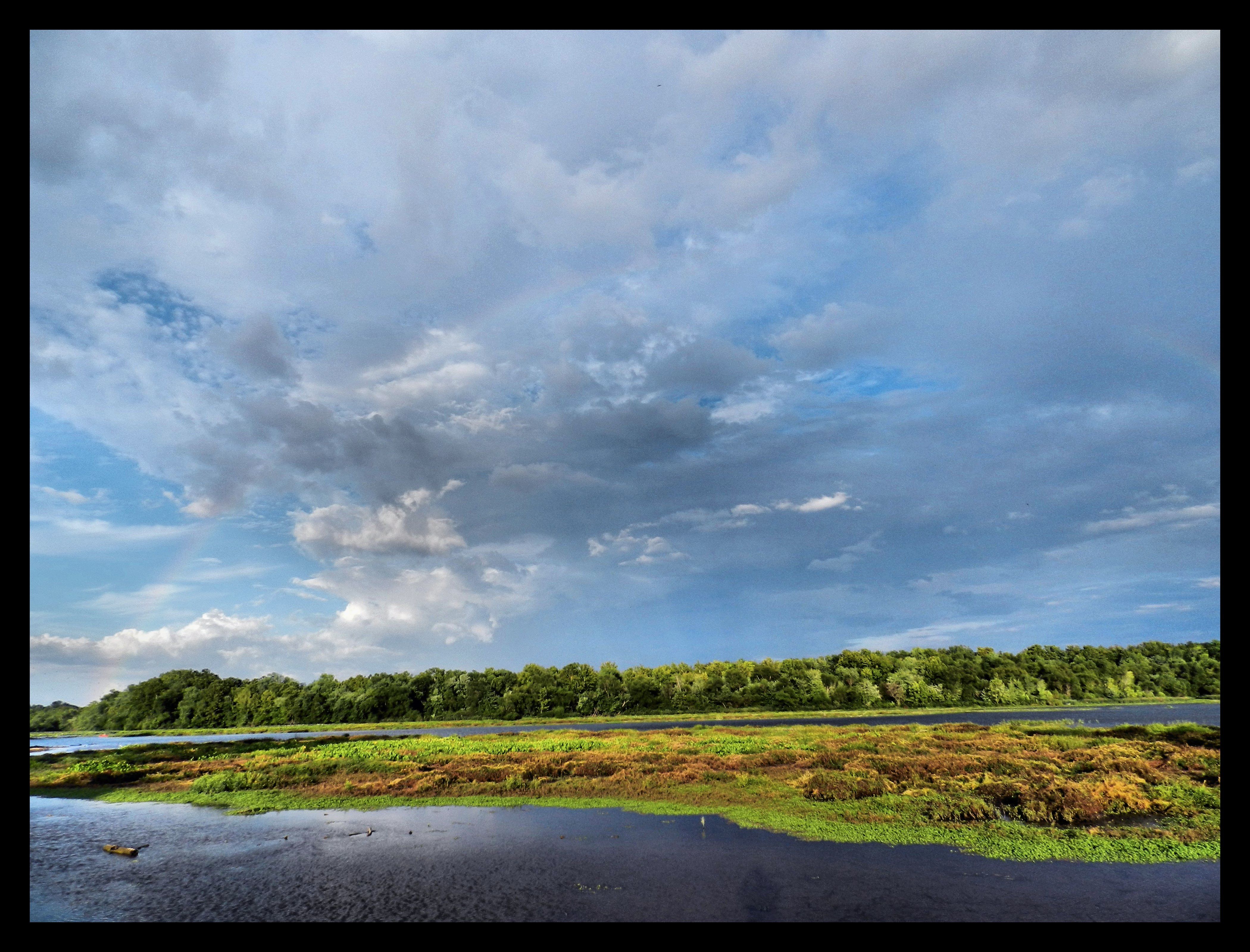
A Filled Up Drummond Lake

Skipper (Butterfly)

20150919_12504301-Edit.jpg

Sequiota Park
20110731_002h.jpg
Topographic Map of Nixa, MO, USA
Find elevation by address:

Places in Nixa, MO, USA:
Places near Nixa, MO, USA:
E Mt Vernon St, Nixa, MO, USA
501 E Mc Cauley Farm Rd
U.s. 160
U.s. 160
U.s. 160
Northview Township
657 Ash Cir
Garden Grove Township
Rosedale Township
Cassidy Township
1720 Westminster Dr
320 Faught Rd
320 Faught Rd
320 Faught Rd
2416 Seneca Rd
486 Petunia Ln
Ozark
W Church St, Ozark, MO, USA
118 E Lark St
115 E Lark St
Recent Searches:
- Elevation of Corso Fratelli Cairoli, 35, Macerata MC, Italy
- Elevation of Tallevast Rd, Sarasota, FL, USA
- Elevation of 4th St E, Sonoma, CA, USA
- Elevation of Black Hollow Rd, Pennsdale, PA, USA
- Elevation of Oakland Ave, Williamsport, PA, USA
- Elevation of Pedrógão Grande, Portugal
- Elevation of Klee Dr, Martinsburg, WV, USA
- Elevation of Via Roma, Pieranica CR, Italy
- Elevation of Tavkvetili Mountain, Georgia
- Elevation of Hartfords Bluff Cir, Mt Pleasant, SC, USA