Elevation map of Nitmiluk NT, Australia
Location: Australia > Northern Territory >
Longitude: 131.983023
Latitude: -14.075309
Elevation: 126m / 413feet
Barometric Pressure: 100KPa
Elevation Map:
Satellite Map:
Related Photos:
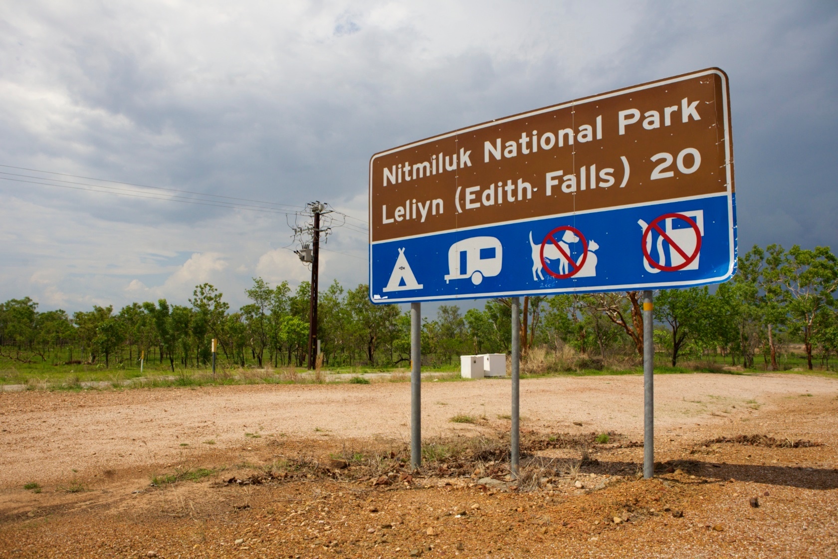
Leliyn (Edith Falls)

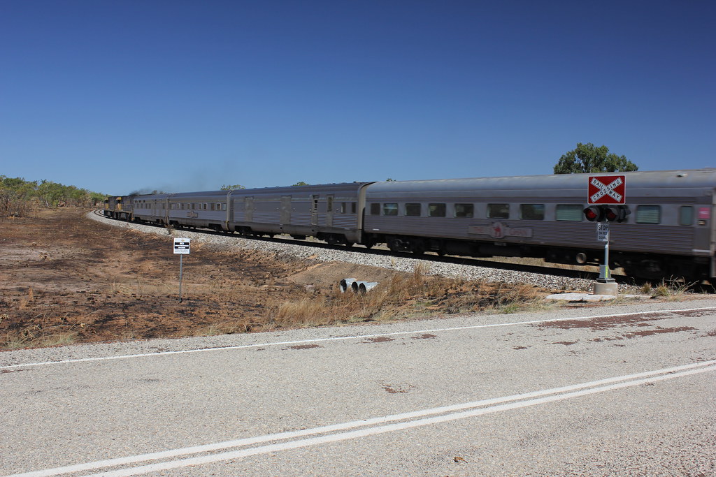
Where The Ghan Meets The Highway
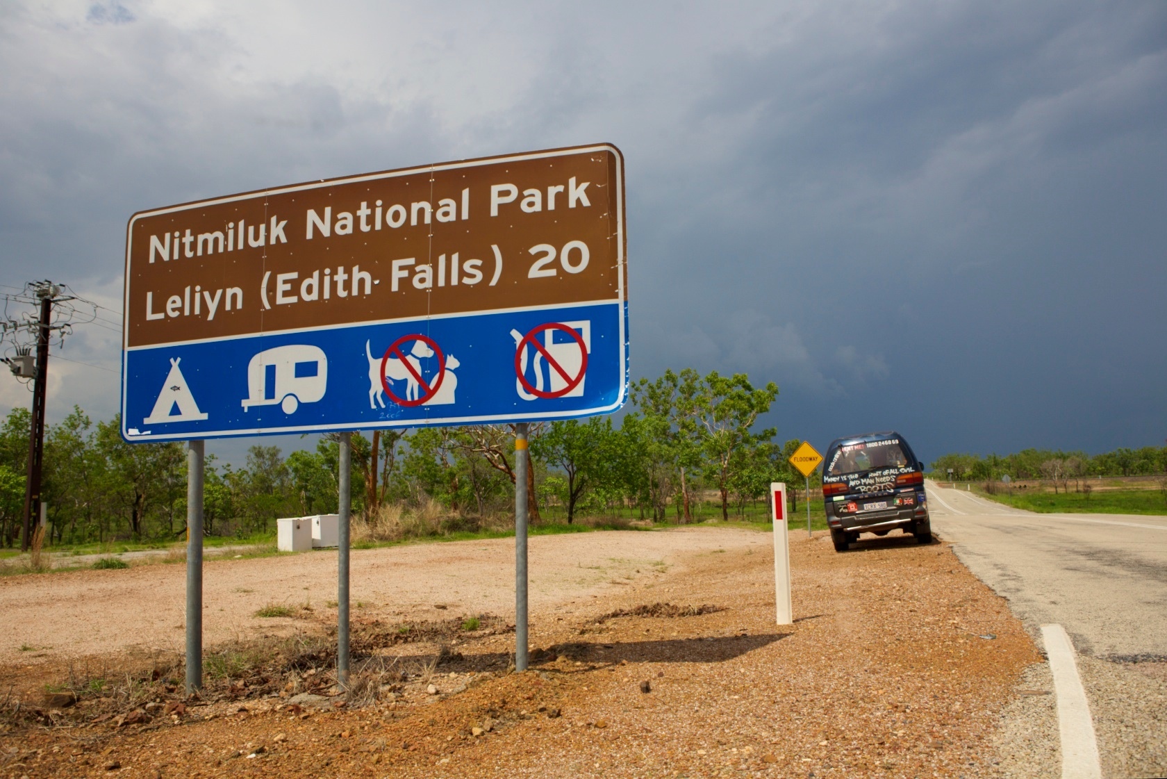
The Wicked on its Way to Leliyn

Wicked Camper On The Way To Edith Falls
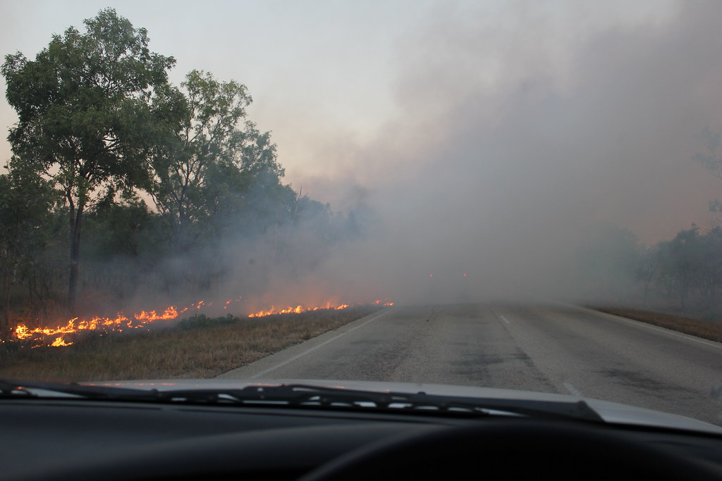
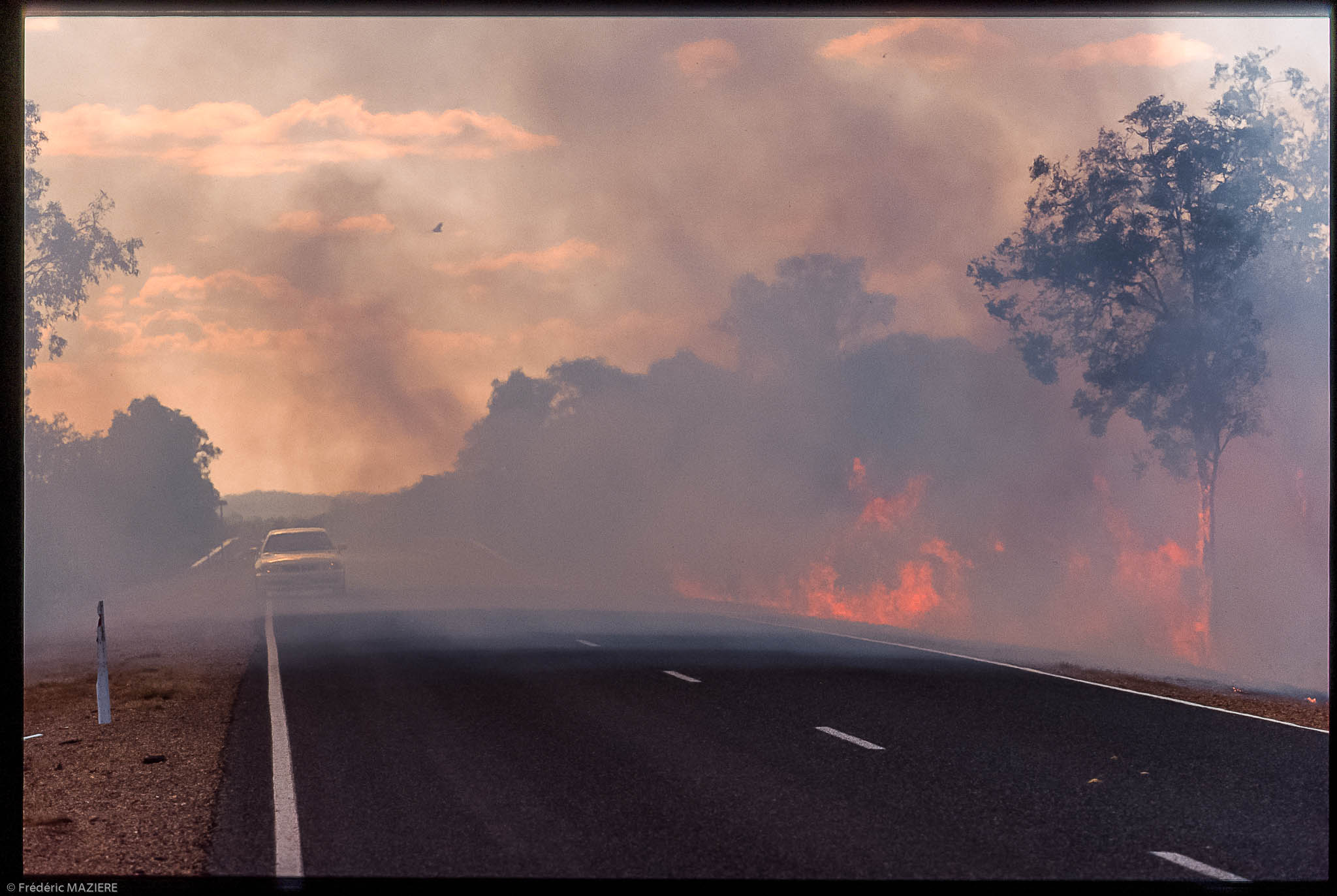
Burn off near Edith

Stacked Stones

Kathrine p1

Edith River Sunset (Explored)
Edith River

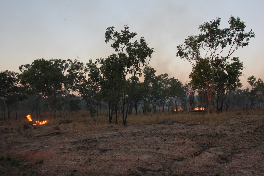
Ecobuage le long de la Stuart Highway
Ecobuage le long de la Stuart Highway

Ecobuage le long de la Stuart Highway

Bush Camp

Night Clouds
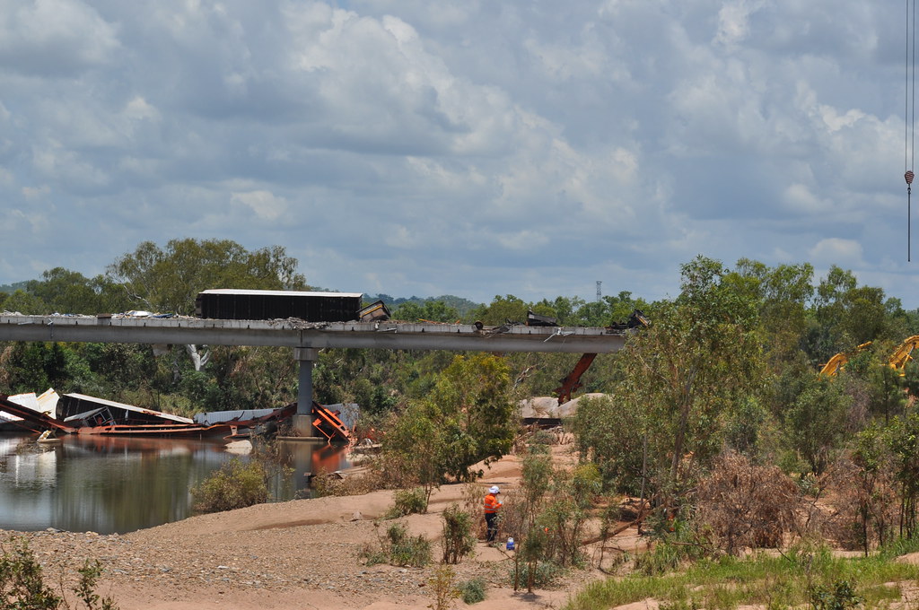
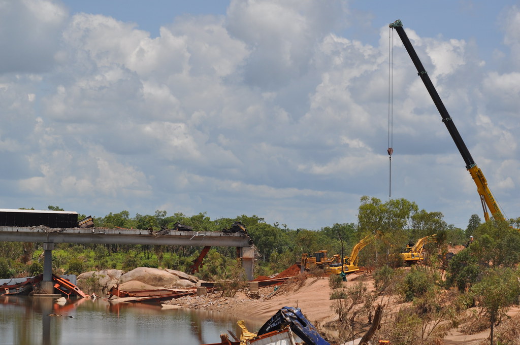
Edith River clean-up

Edith River train derailment

?

Farewell dinner with Sally at The Fig Tree

Paleo burgers... No bun just a nice crisp lettuce shell!

Stuart Highway power lines
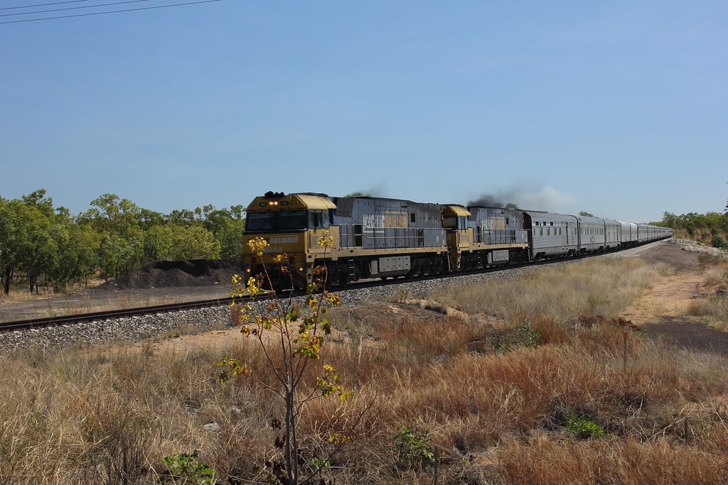
The Ghan
The Ghan
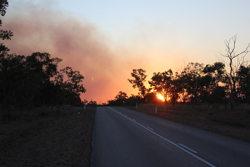
Burn off near Edith
Burn off near Edith
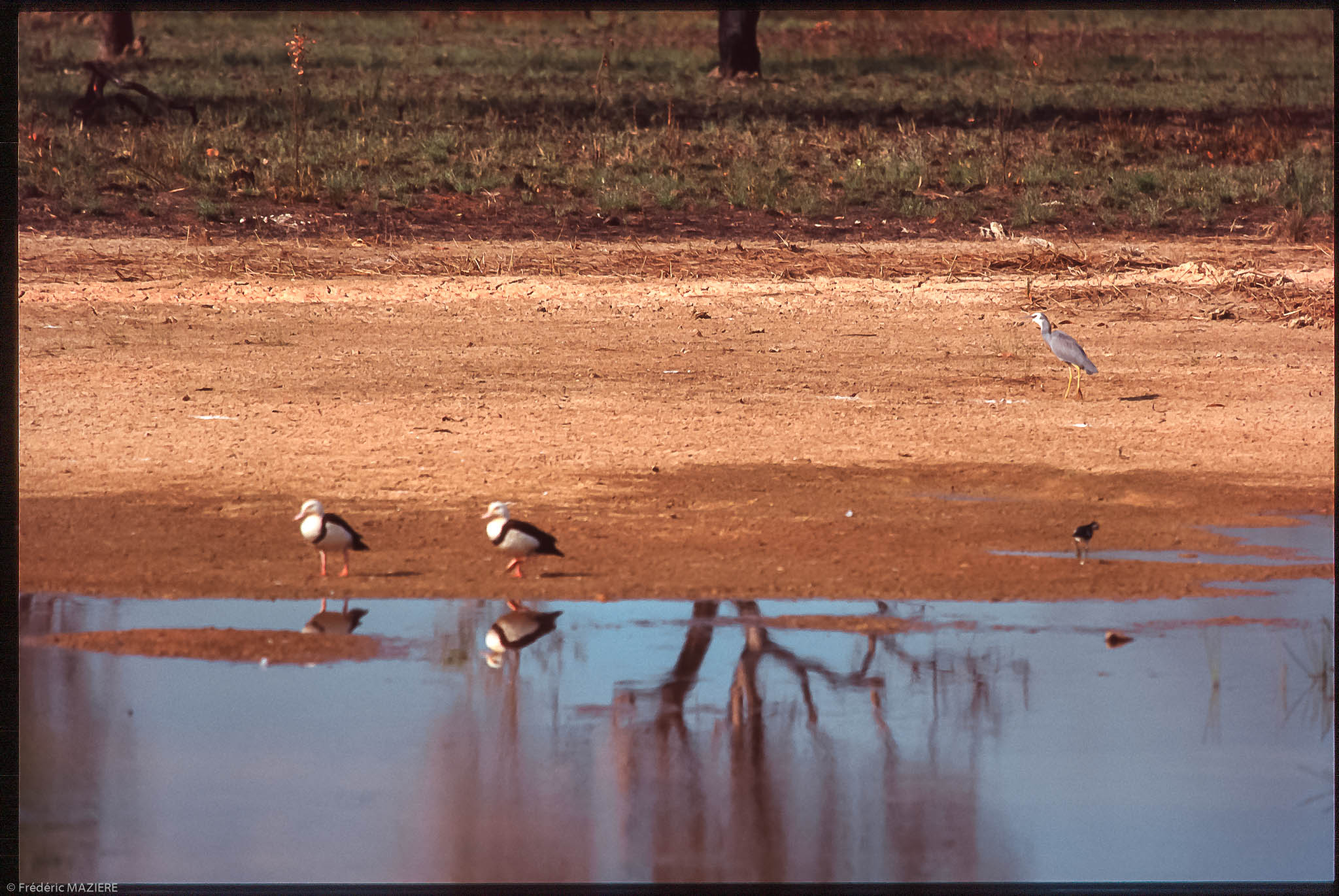
Héron cendré
Topographic Map of Nitmiluk NT, Australia
Find elevation by address:

Places in Nitmiluk NT, Australia:
Recent Searches:
- Elevation of Corso Fratelli Cairoli, 35, Macerata MC, Italy
- Elevation of Tallevast Rd, Sarasota, FL, USA
- Elevation of 4th St E, Sonoma, CA, USA
- Elevation of Black Hollow Rd, Pennsdale, PA, USA
- Elevation of Oakland Ave, Williamsport, PA, USA
- Elevation of Pedrógão Grande, Portugal
- Elevation of Klee Dr, Martinsburg, WV, USA
- Elevation of Via Roma, Pieranica CR, Italy
- Elevation of Tavkvetili Mountain, Georgia
- Elevation of Hartfords Bluff Cir, Mt Pleasant, SC, USA