Elevation of Nishikimachihirose, Iwakuni-shi, Yamaguchi-ken -, Japan
Location: Japan > Yamaguchi Prefecture > Iwakuni >
Longitude: 131.957933
Latitude: 34.266255
Elevation: 122m / 400feet
Barometric Pressure: 100KPa
Elevation Map:
Satellite Map:
Related Photos:
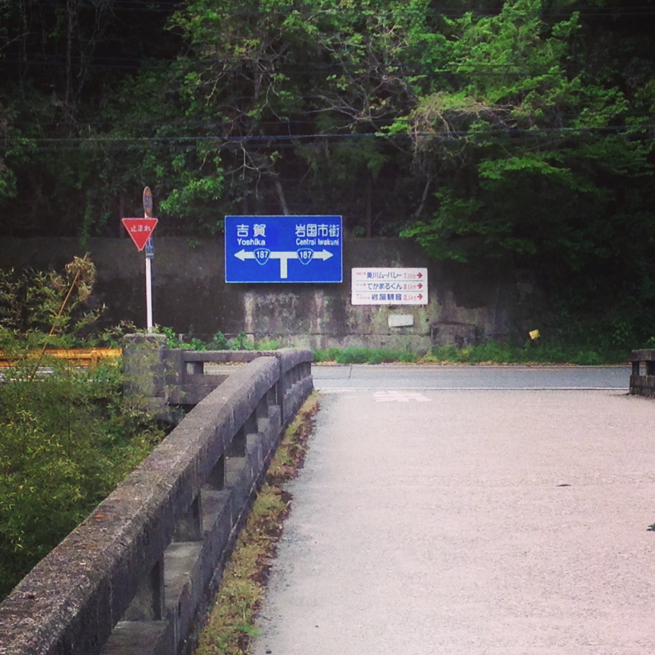
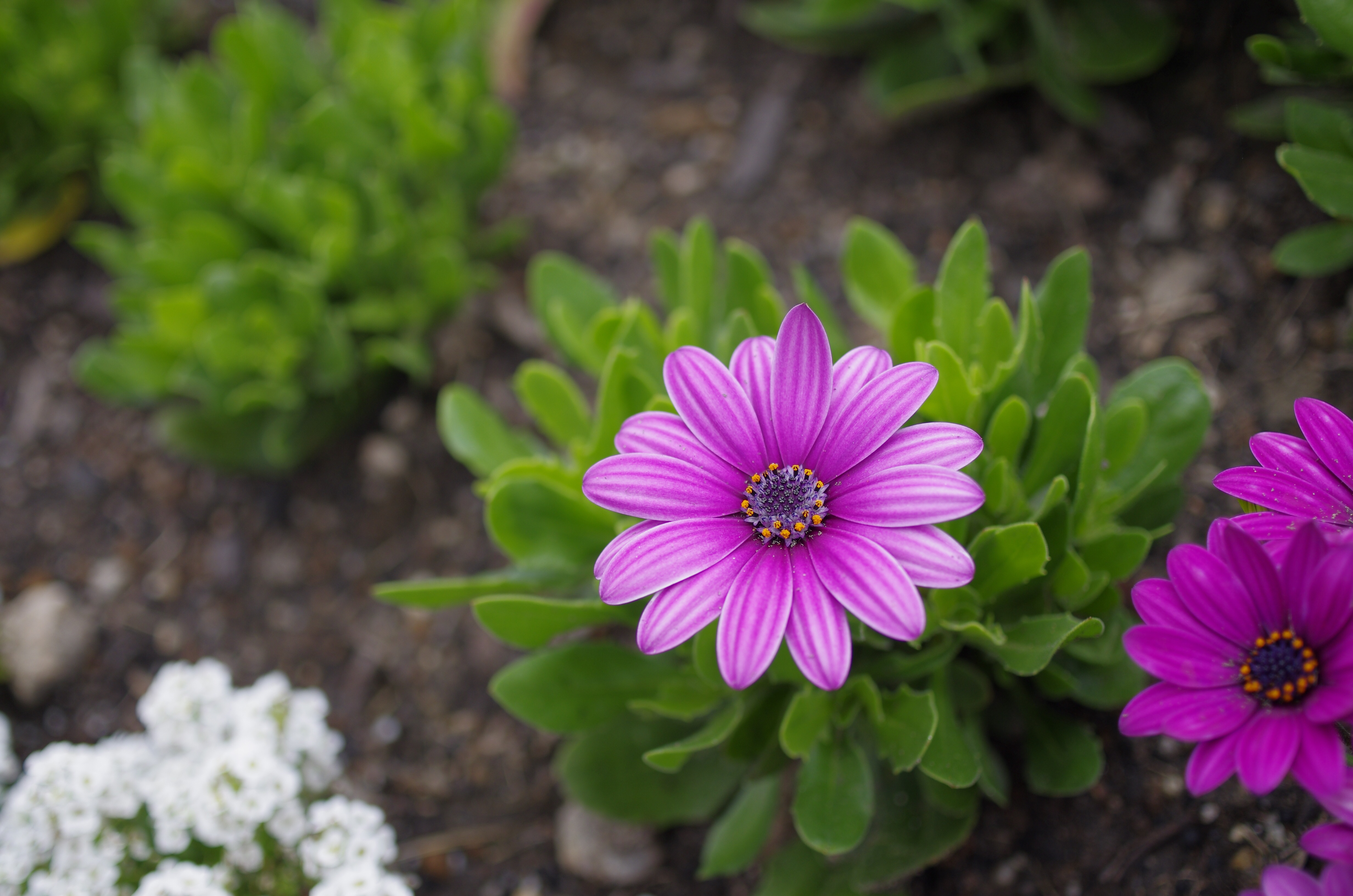
ご近所
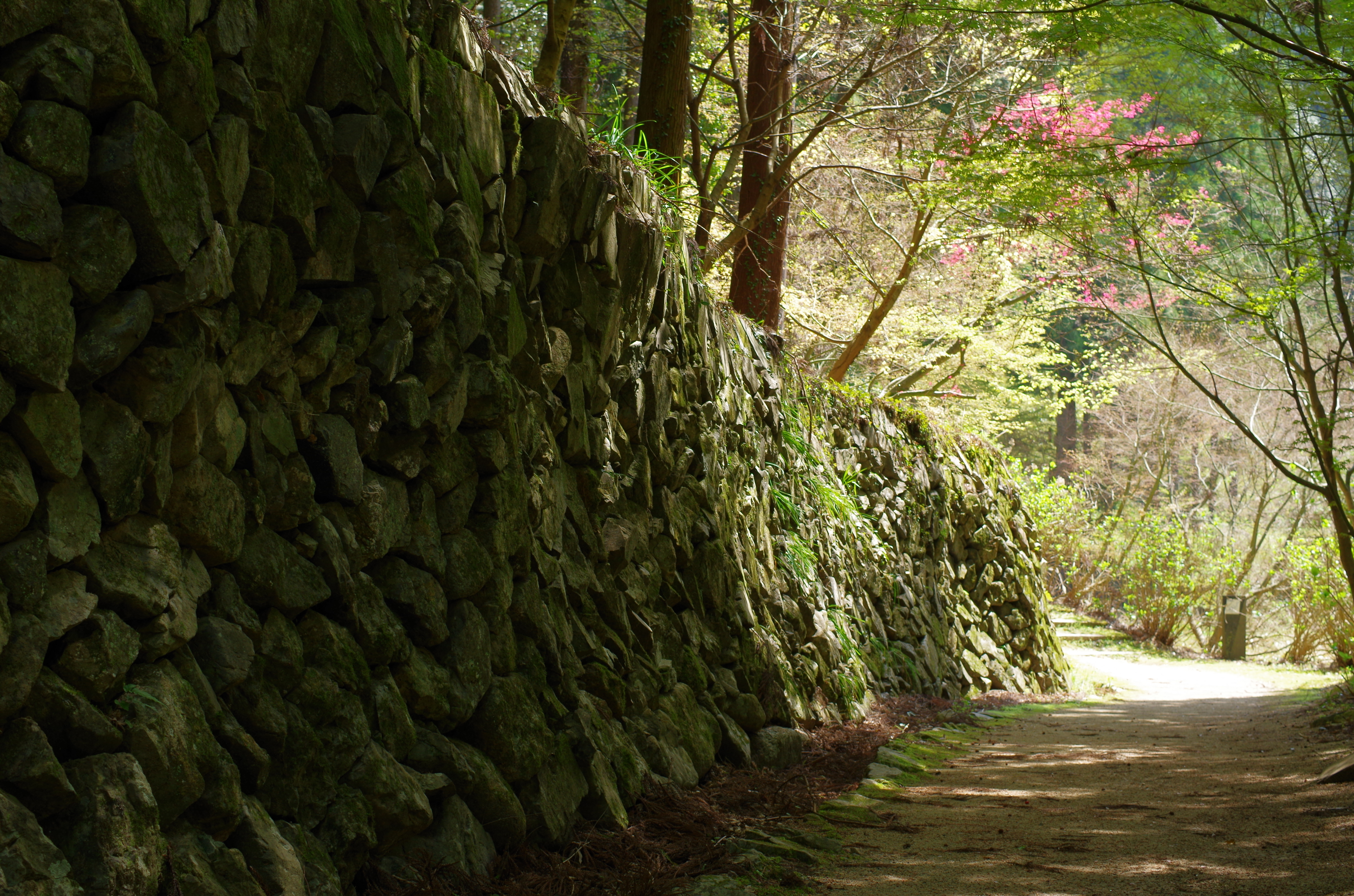
重源の里
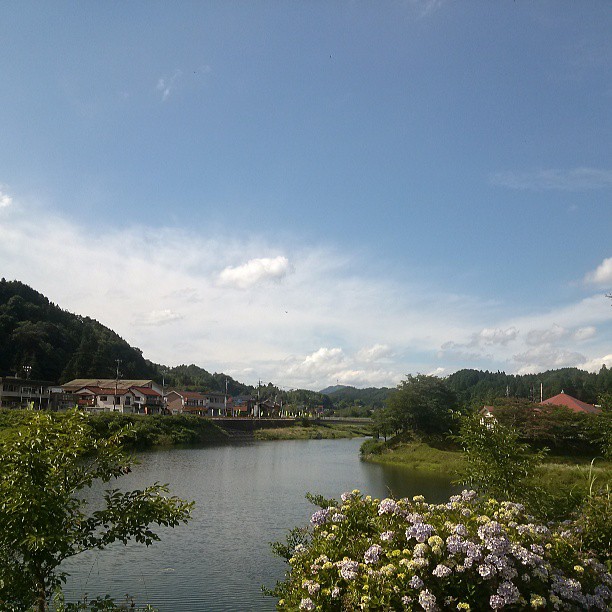
現場の仕事が、思惑より早く終わっちゃいました。今、帰社中!中国山地も夏の空です。ちょっと休憩!慌てず帰ろ!
冬はホワイトライオンかな!

fireflies under the moon

30/604800

中須棚田の夜_IMG1740

中須棚田の夜output_comp
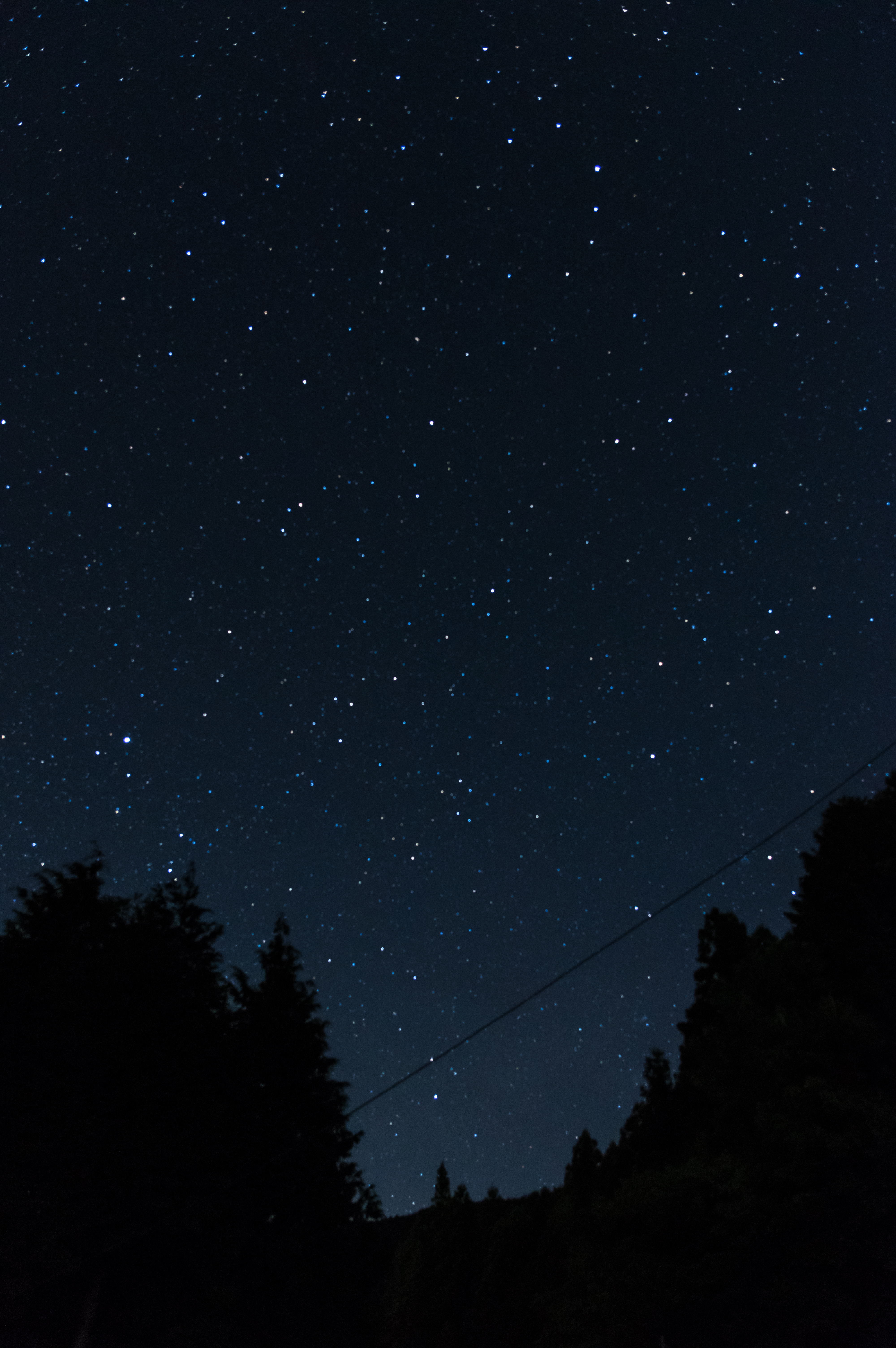
星空_IMG1391
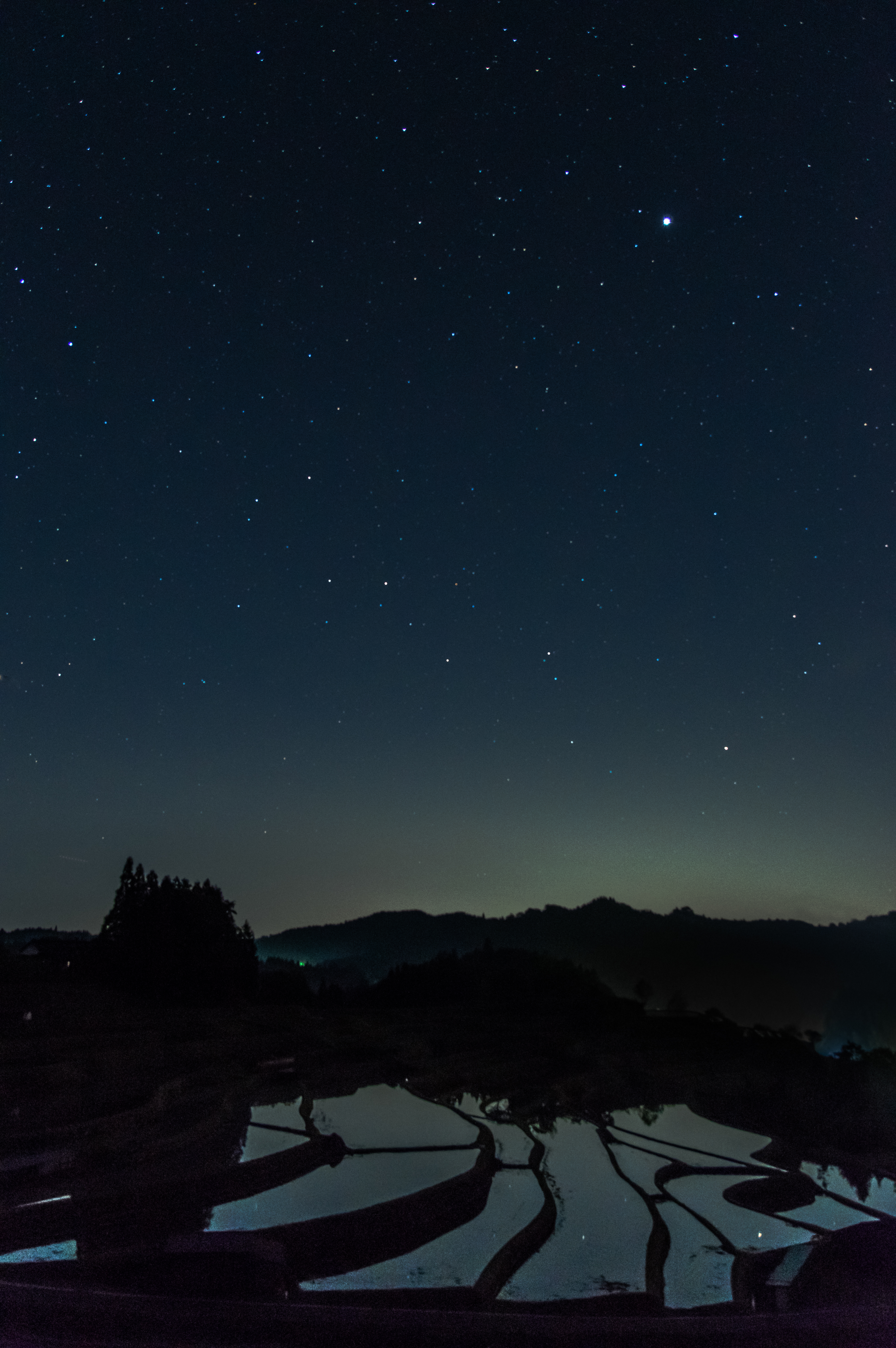
中須棚田の夜_IMG1373
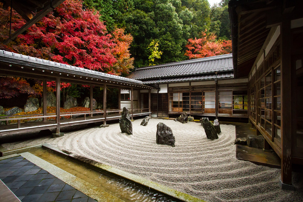
Kanyō-ji Temple
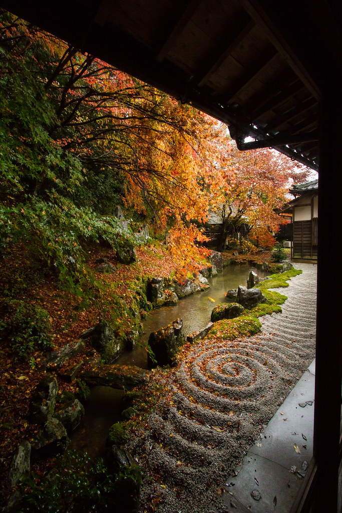
Kanyō-ji Temple
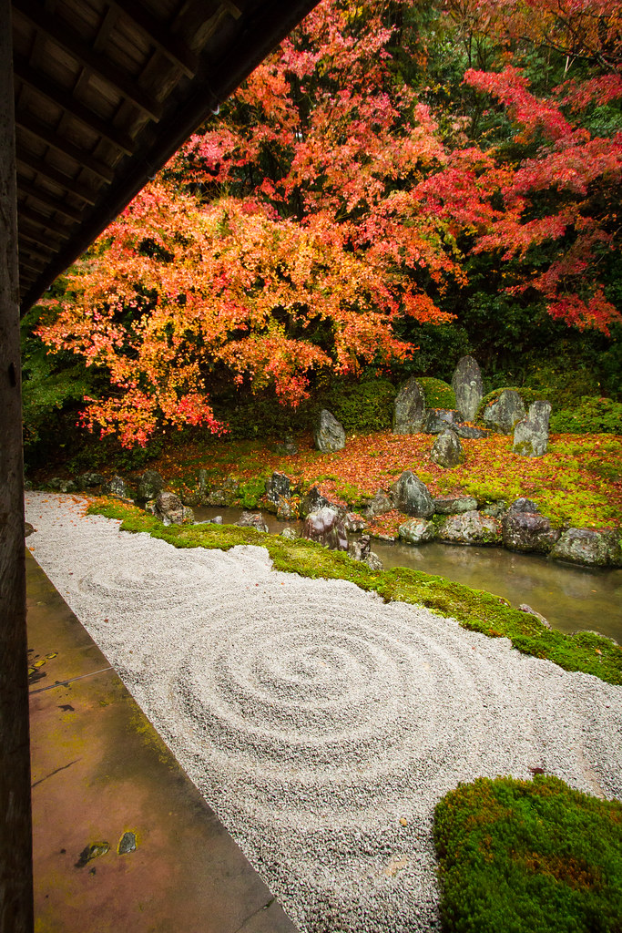
Kanyō-ji Temple
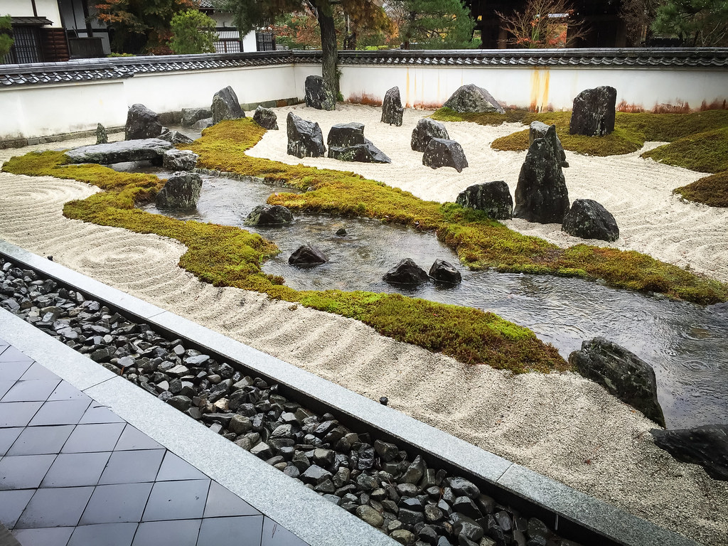
Kanyō-ji Temple
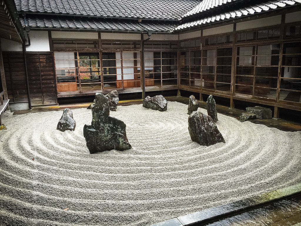
Kanyō-ji Temple

Keiko Miyake
IMG_7131.JPG
IMG_7130.JPG
IMG_7129.JPG

IMG_7119.JPG
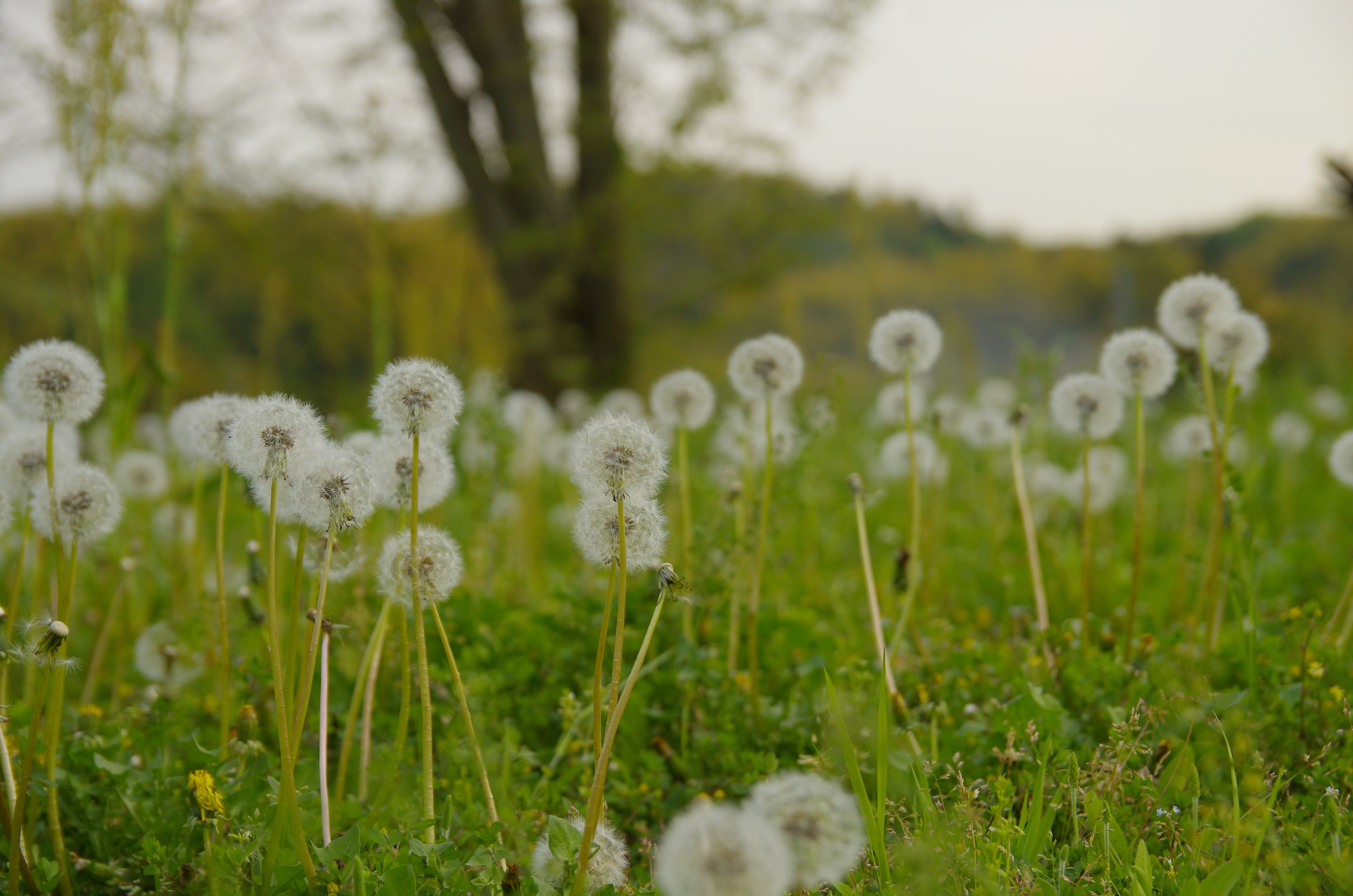
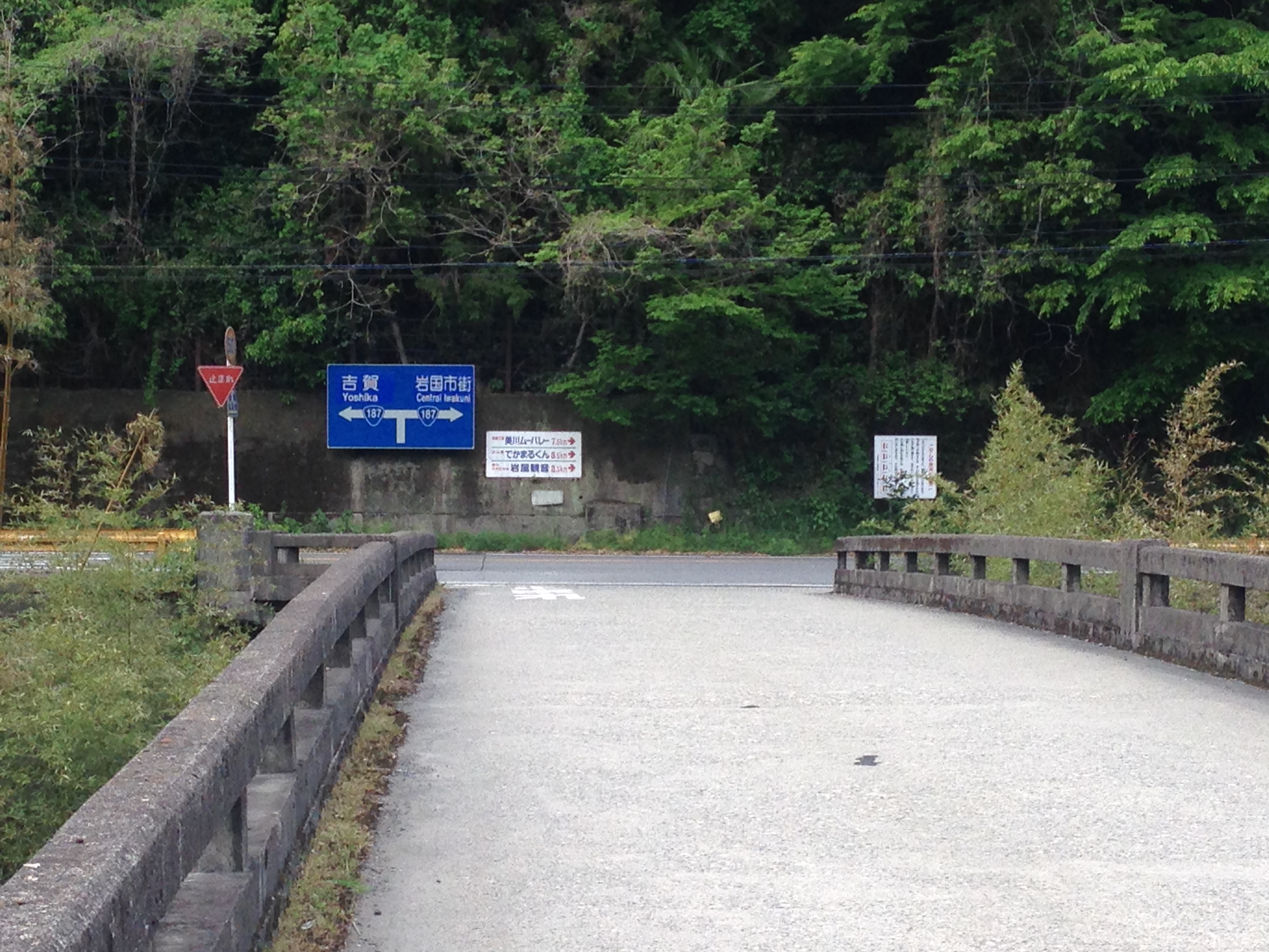
ご近所
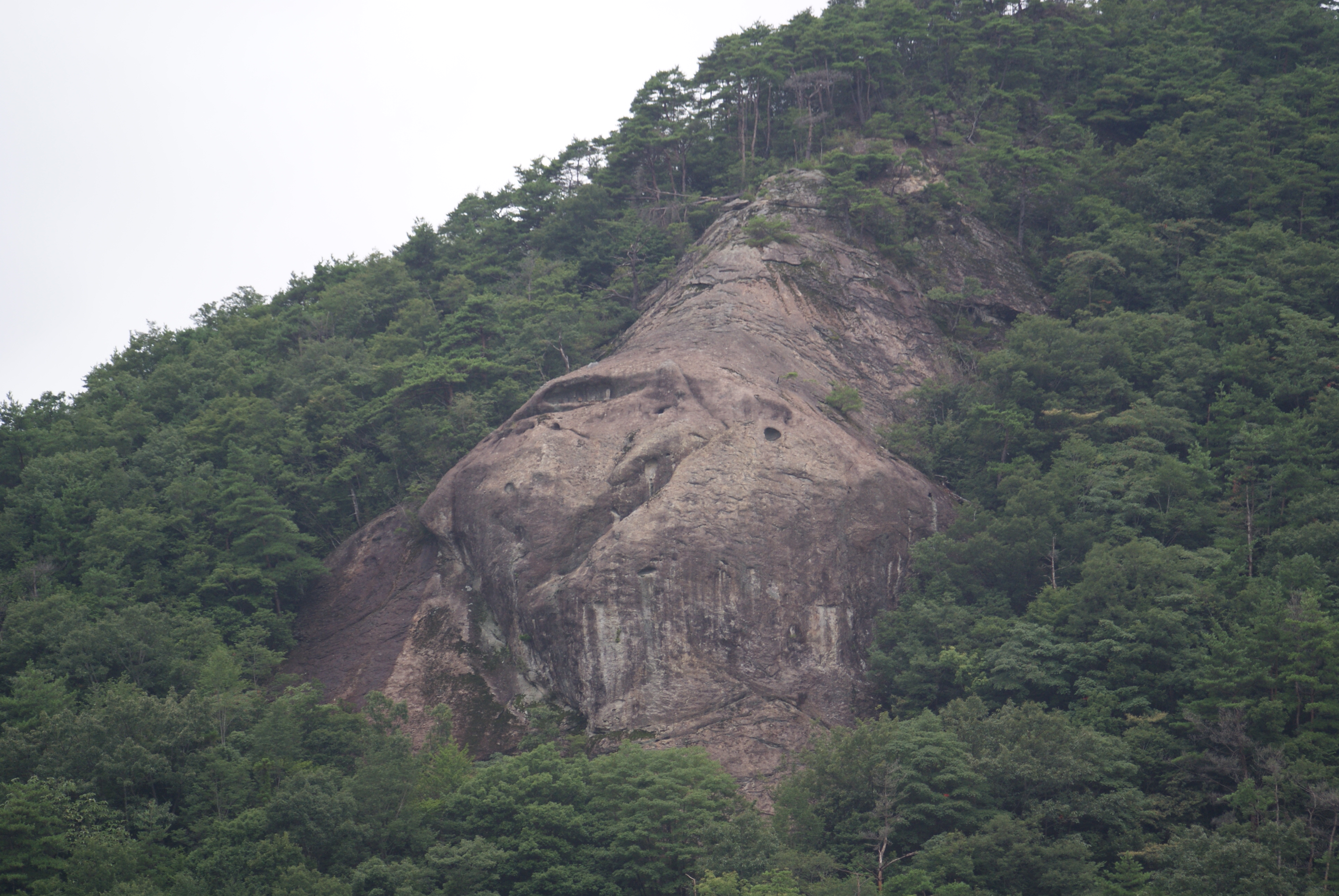
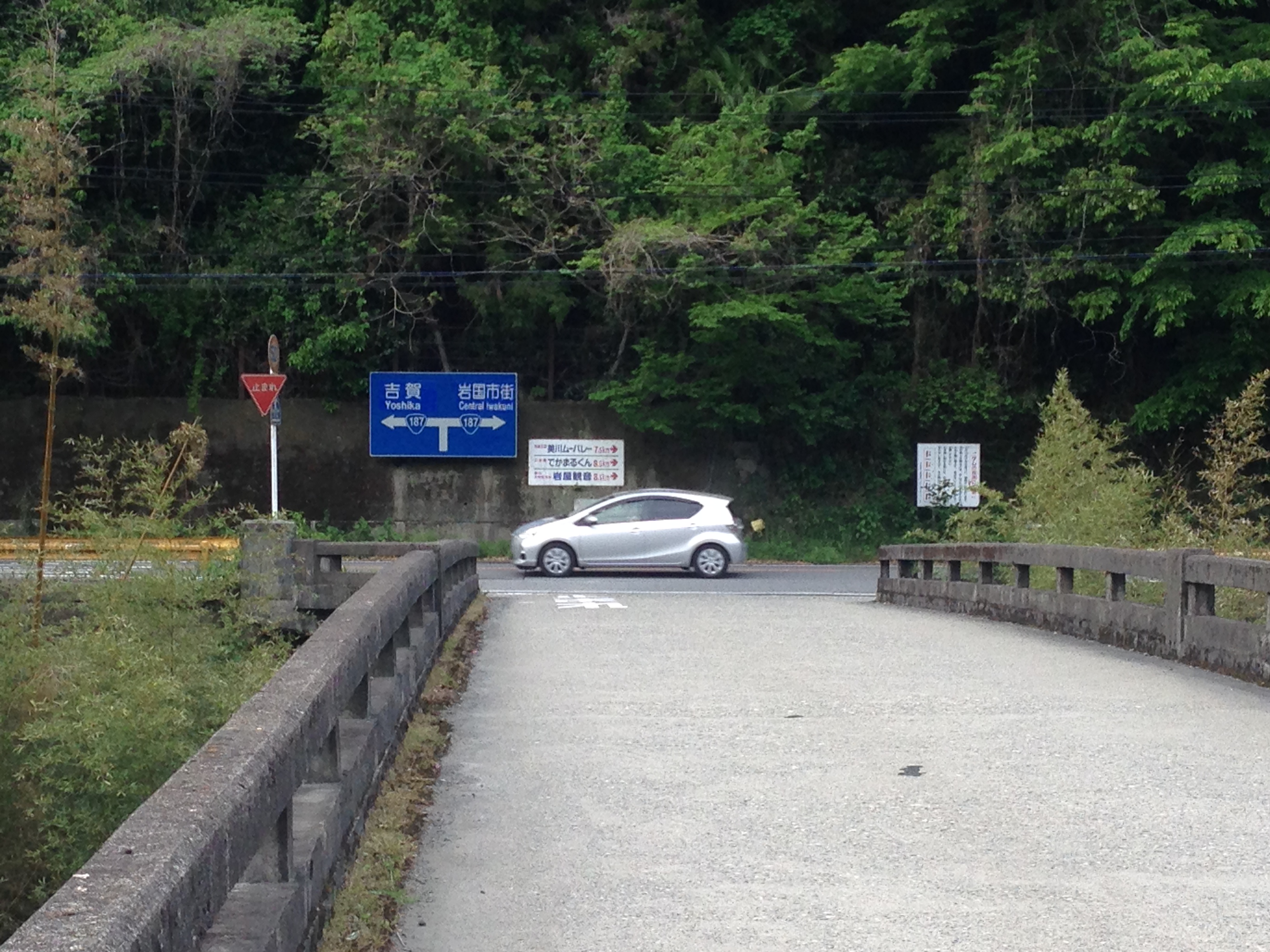
ご近所
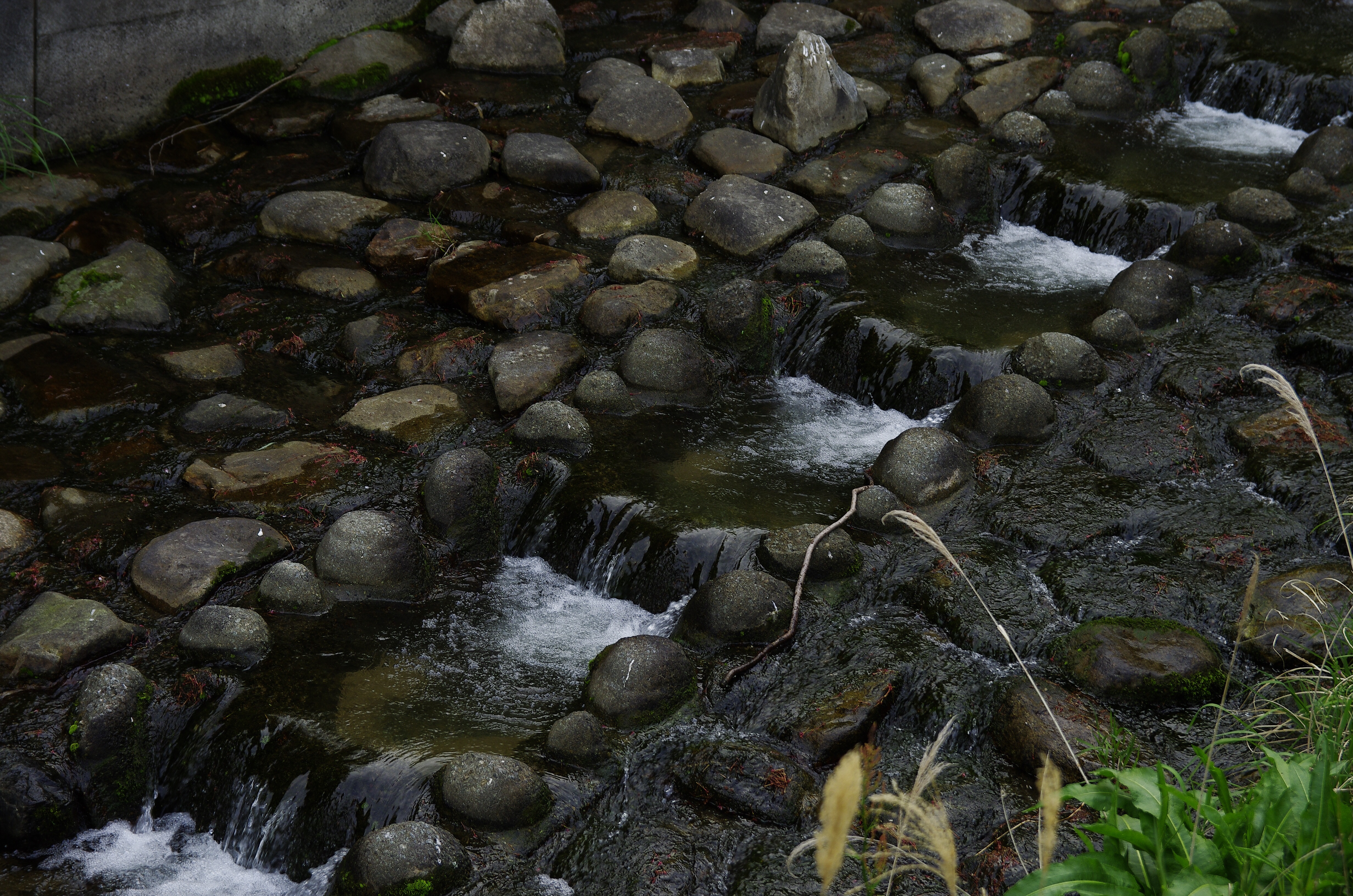
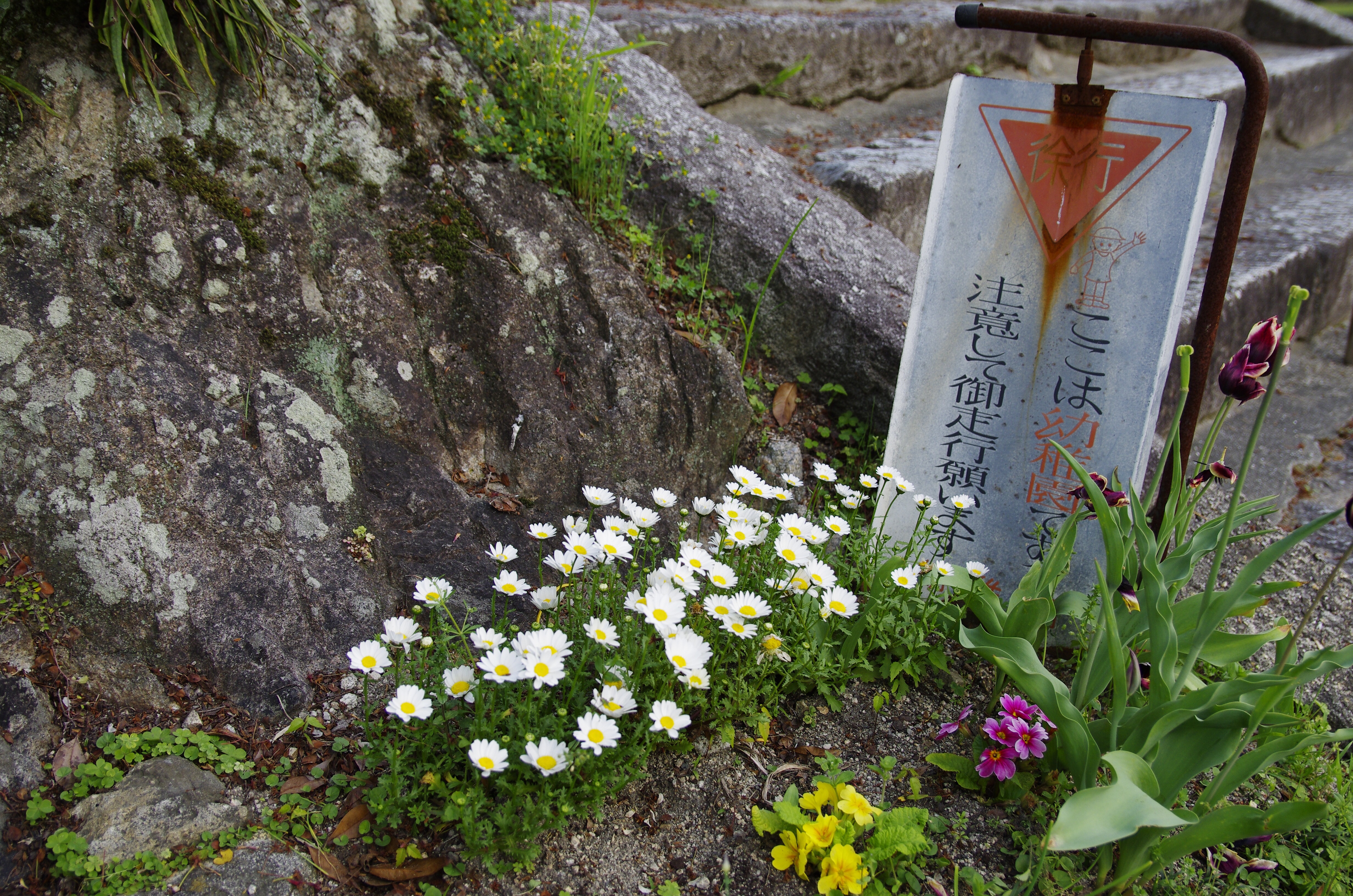
ご近所
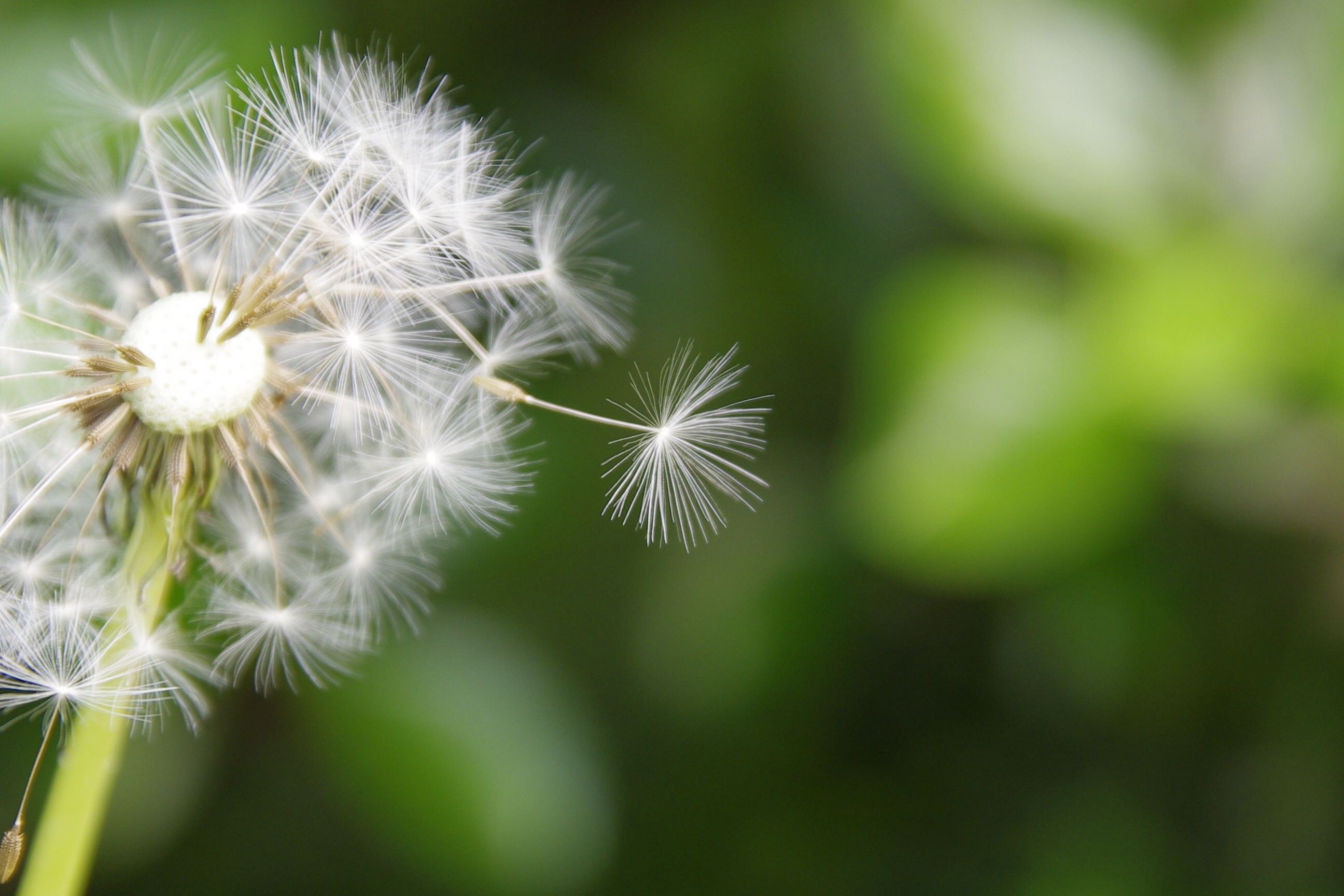
ご近所
Topographic Map of Nishikimachihirose, Iwakuni-shi, Yamaguchi-ken -, Japan
Find elevation by address:

Places near Nishikimachihirose, Iwakuni-shi, Yamaguchi-ken -, Japan:
Nishikimachihirose, Iwakuni-shi, Yamaguchi-ken -, Japan
Nishikimachihirose, Iwakuni-shi, Yamaguchi-ken -, Japan
Nishikimachinotani, Iwakuni-shi, Yamaguchi-ken -, Japan
Mikawamachi Shimegami, Iwakuni-shi, Yamaguchi-ken -, Japan
Mikawamachi Soedani, Iwakuni-shi, Yamaguchi-ken -, Japan
Nishikimachihirose, Iwakuni-shi, Yamaguchi-ken -, Japan
Nishikimachinotani, Iwakuni-shi, Yamaguchi-ken -, Japan
Nishikimachinotani, Iwakuni-shi, Yamaguchi-ken -, Japan
-11 Mikawamachi Shimegami, Iwakuni-shi, Yamaguchi-ken -, Japan
Mikawamachi Shimegami, Iwakuni-shi, Yamaguchi-ken -, Japan
Nishikimachihirose, Iwakuni-shi, Yamaguchi-ken -, Japan
Nishikimachinotani, Iwakuni-shi, Yamaguchi-ken -, Japan
Nishikimachinotani, Iwakuni-shi, Yamaguchi-ken -, Japan
Suma, Shūnan-shi, Yamaguchi-ken -, Japan
Nishikimachihirose, Iwakuni-shi, Yamaguchi-ken -, Japan
Mikawamachi Nekasa, Iwakuni-shi, Yamaguchi-ken -, Japan
Suma, Shūnan-shi, Yamaguchi-ken -, Japan
1827 Suma
須金北山老人憩いの家
Mikawamachi Naguwa, Iwakuni-shi, Yamaguchi-ken -, Japan
Recent Searches:
- Elevation of Corso Fratelli Cairoli, 35, Macerata MC, Italy
- Elevation of Tallevast Rd, Sarasota, FL, USA
- Elevation of 4th St E, Sonoma, CA, USA
- Elevation of Black Hollow Rd, Pennsdale, PA, USA
- Elevation of Oakland Ave, Williamsport, PA, USA
- Elevation of Pedrógão Grande, Portugal
- Elevation of Klee Dr, Martinsburg, WV, USA
- Elevation of Via Roma, Pieranica CR, Italy
- Elevation of Tavkvetili Mountain, Georgia
- Elevation of Hartfords Bluff Cir, Mt Pleasant, SC, USA