Elevation of Ninh Sơn District, Ninh Thuan Province, Vietnam
Location: Vietnam >
Longitude: 108.736337
Latitude: 11.6888699
Elevation: 136m / 446feet
Barometric Pressure: 100KPa
Elevation Map:
Satellite Map:
Related Photos:

Quốc Phong - Trang trại

Quốc Phong - Trang trại

Quốc Phong - Trang trại

Quốc Phong - Trang trại

-c20160527_810_8991

Rainy Day

Quốc Phong - Trang trại

Quốc Phong - Trang trại

Quốc Phong - Trang trại

Quốc Phong - Trang trại

Quốc Phong - Trang trại

Quốc Phong - Trang trại

Quốc Phong - Trang trại

My team

My team

c20160126_810_7730-Edit

c20160126_810_7723-Edit
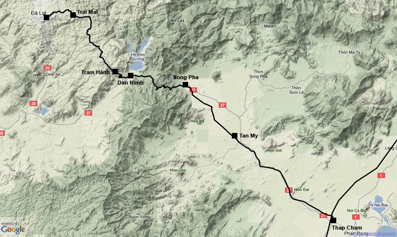
Map showing former railway line from Thap Cham to Da Lat
Topographic Map of Ninh Sơn District, Ninh Thuan Province, Vietnam
Find elevation by address:

Places near Ninh Sơn District, Ninh Thuan Province, Vietnam:
Ninh Thuan Province
D'ran
Phan Rang–tháp Chàm
Công Ty Cổ Phần Chăn Nuôi C.p. Việt Nam - Cn Ninh Thuận
Dalat
Chợ Đà Lạt
Đức Trọng District
Tà Nung
Lang Biang Peak
Cam Ranh
Khánh Vĩnh District
Khánh Hòa
Khanh Hoa Province
Diamond Bay Resort & Spa In Nha Trang City
Vĩnh Thái
60 Trần Phú
Nha Trang
34 Trần Phú
Recent Searches:
- Elevation of Corso Fratelli Cairoli, 35, Macerata MC, Italy
- Elevation of Tallevast Rd, Sarasota, FL, USA
- Elevation of 4th St E, Sonoma, CA, USA
- Elevation of Black Hollow Rd, Pennsdale, PA, USA
- Elevation of Oakland Ave, Williamsport, PA, USA
- Elevation of Pedrógão Grande, Portugal
- Elevation of Klee Dr, Martinsburg, WV, USA
- Elevation of Via Roma, Pieranica CR, Italy
- Elevation of Tavkvetili Mountain, Georgia
- Elevation of Hartfords Bluff Cir, Mt Pleasant, SC, USA