Elevation of Night Rider Peak, Clearwater County, AB T0M, Canada
Location: Canada > Alberta > Division No. 9 >
Longitude: -116.70833
Latitude: 52.3949999
Elevation: 3026m / 9928feet
Barometric Pressure: 70KPa
Elevation Map:
Satellite Map:
Related Photos:
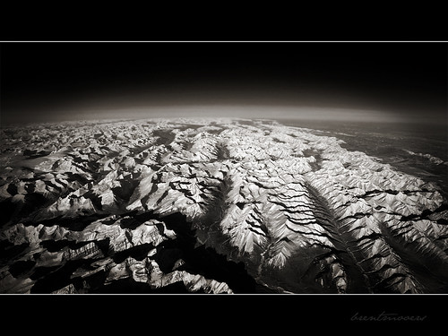
Curvature of the Earth
Topographic Map of Night Rider Peak, Clearwater County, AB T0M, Canada
Find elevation by address:

Places near Night Rider Peak, Clearwater County, AB T0M, Canada:
Cloud Buster Peak
Dark Storm Peak
Fence Post Peak
Rustler Peak
Seven Seas Peak
Bright Star Peak
Mount Stelfox
Allstones Peak
Chungo Peak
Abraham Mountain
Dasent Peak
Largehorn Peak
Cline River
Columbia Icefields Tour
Resolute Mountain
Abraham Lake
Sentinel Mountain
Elliot Peak
Mount Michener
Mount Ernest Ross
Recent Searches:
- Elevation of Corso Fratelli Cairoli, 35, Macerata MC, Italy
- Elevation of Tallevast Rd, Sarasota, FL, USA
- Elevation of 4th St E, Sonoma, CA, USA
- Elevation of Black Hollow Rd, Pennsdale, PA, USA
- Elevation of Oakland Ave, Williamsport, PA, USA
- Elevation of Pedrógão Grande, Portugal
- Elevation of Klee Dr, Martinsburg, WV, USA
- Elevation of Via Roma, Pieranica CR, Italy
- Elevation of Tavkvetili Mountain, Georgia
- Elevation of Hartfords Bluff Cir, Mt Pleasant, SC, USA