Elevation of Nigel SE3, Improvement District No. 9, AB T0L, Canada
Location: Canada > Alberta > Division No. 15 > Improvement District No. 9 >
Longitude: -117.13555
Latitude: 52.2213888
Elevation: 2910m / 9547feet
Barometric Pressure: 71KPa
Elevation Map:
Satellite Map:
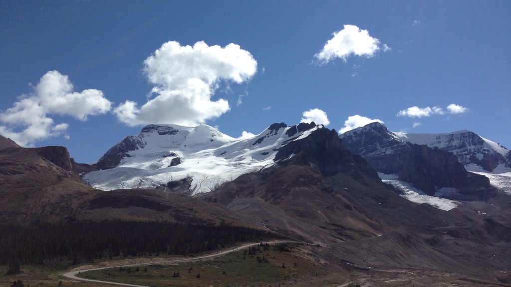
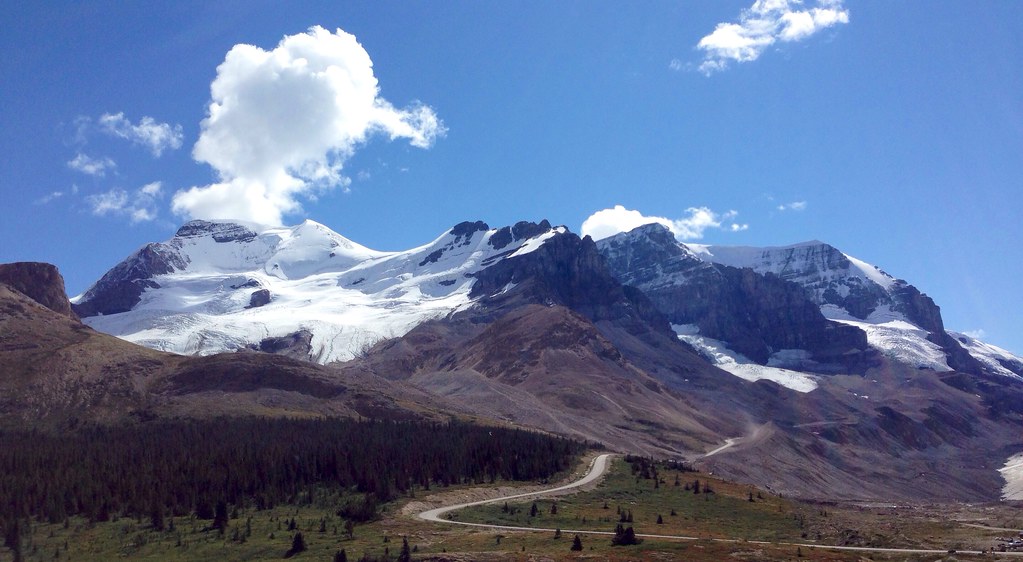
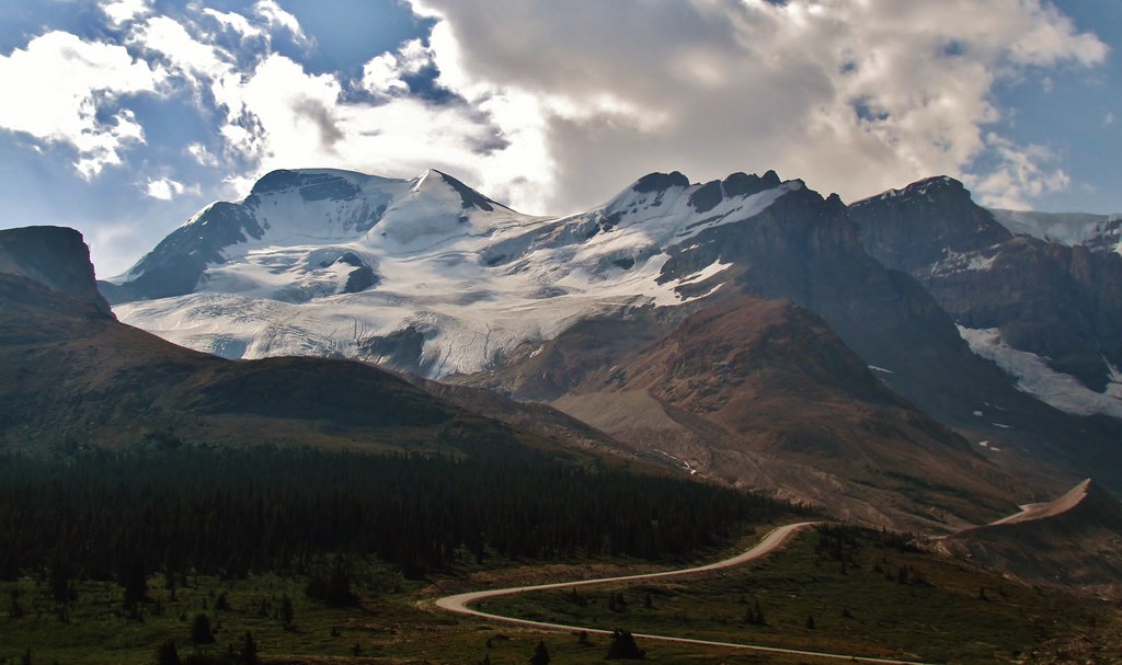
Related Photos:
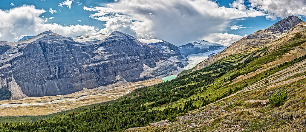
IMG_7358 (2)
iPhone ice
iPhone Canada
IMG_1505 (2)
IMG_7425 (2)
IMG_1556 (2)
IMG_1575 (2)
IMG_1581 (2)
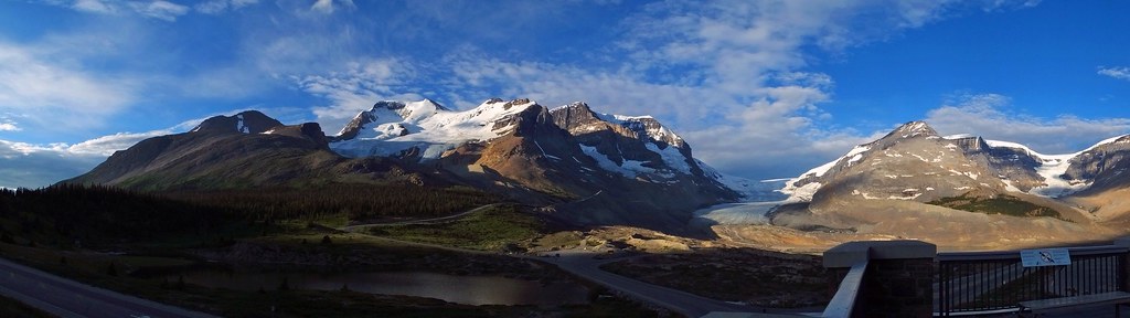
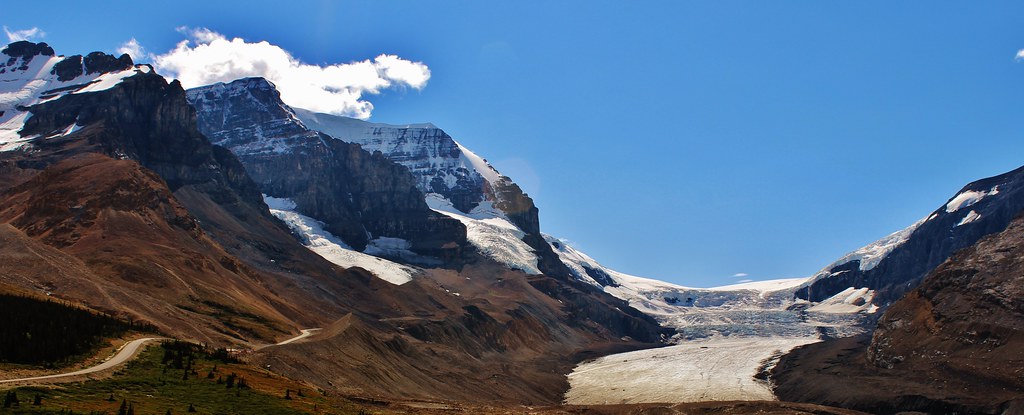
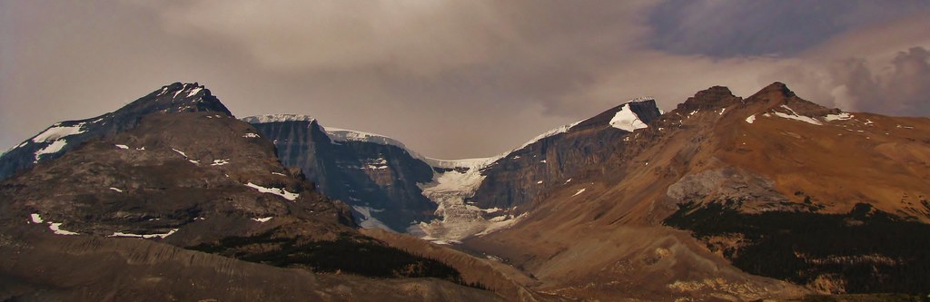
Athabasca Glacier (Jasper National Park, Canada. Gustavo Thomas © 2013)
IMG_2415 (2)
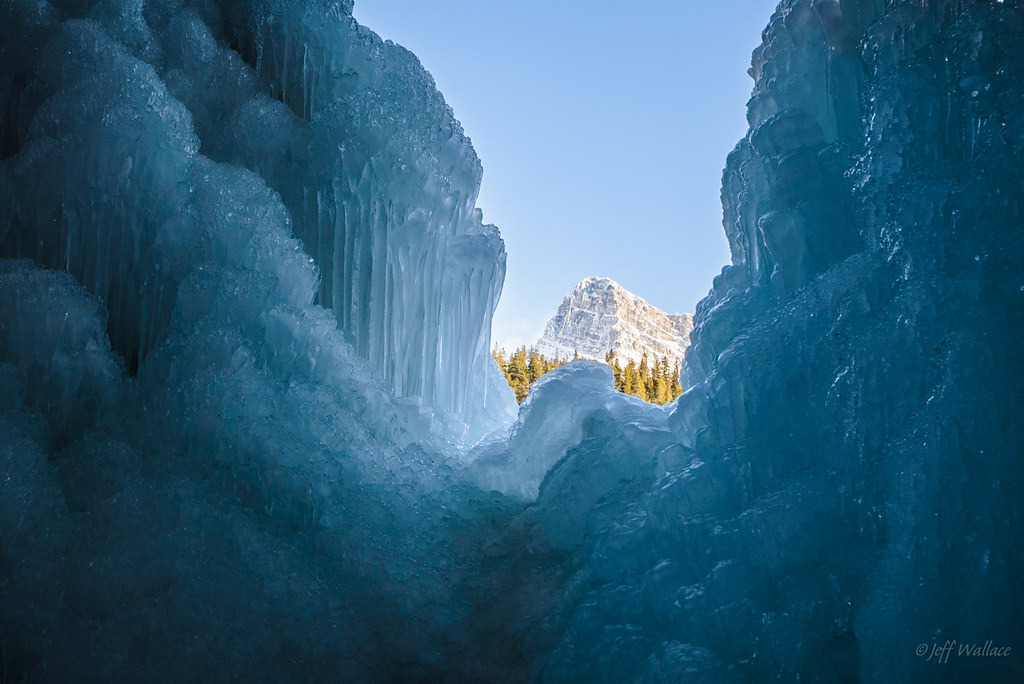
Magic window !
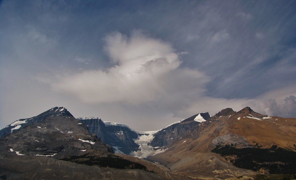
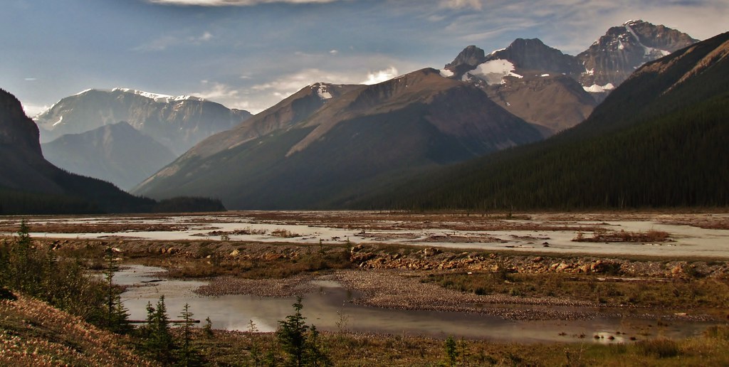
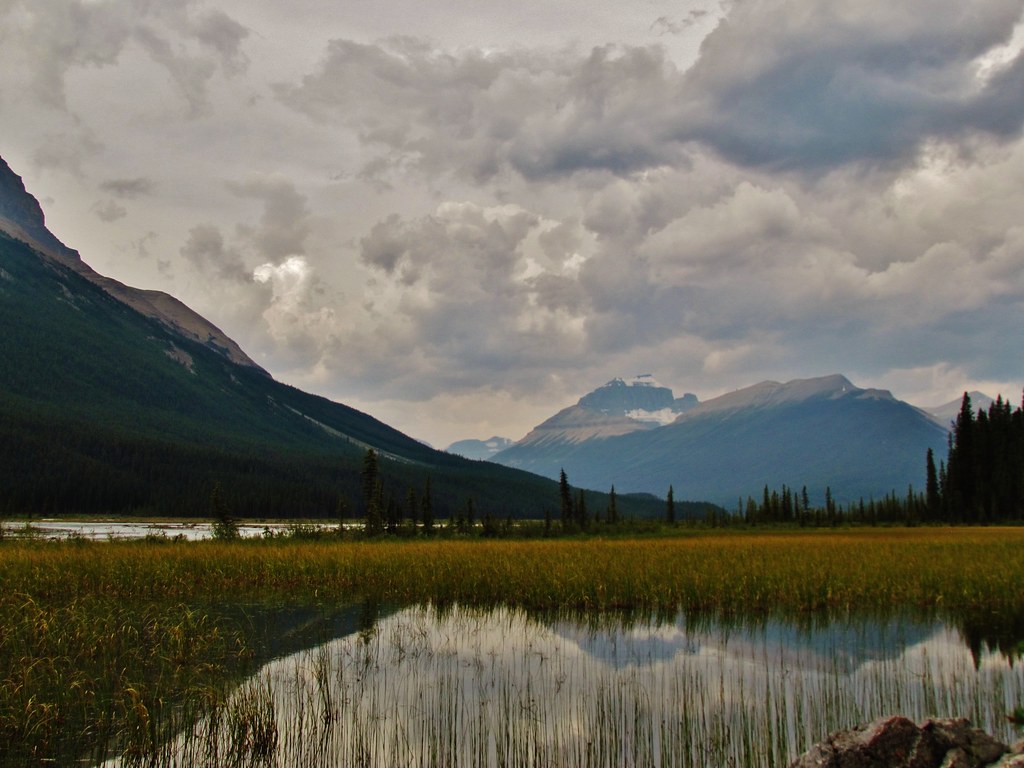
Mountain View [Explored]

Icy and Foggy !
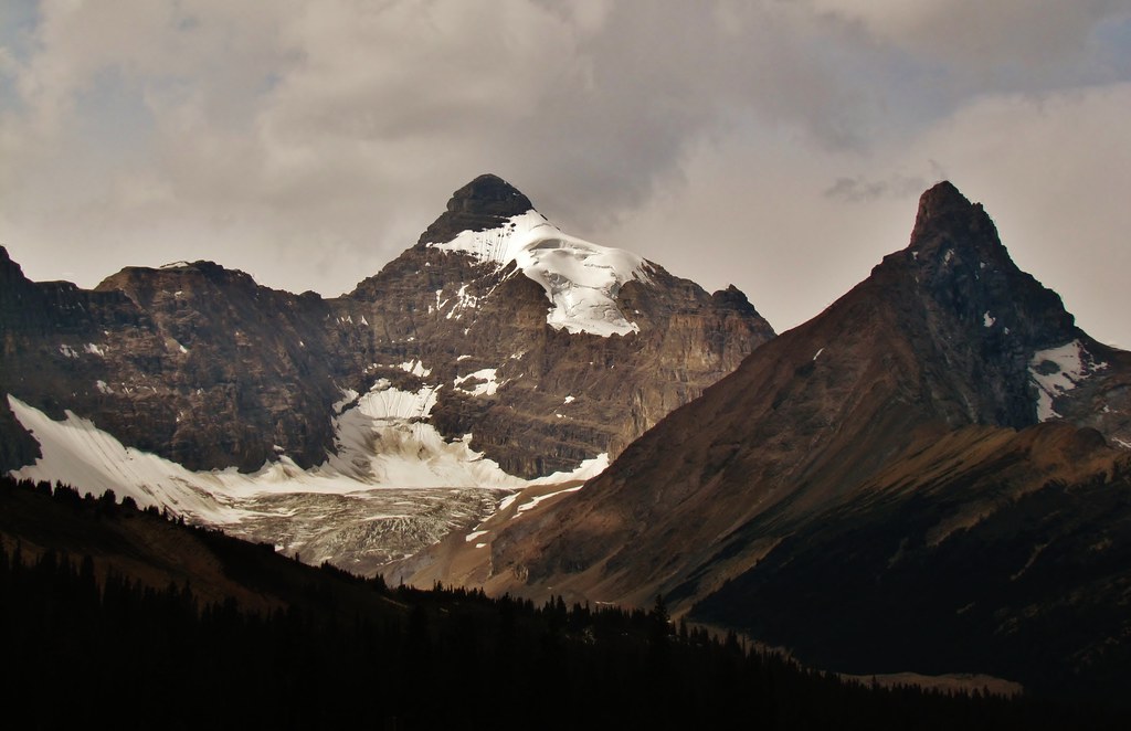
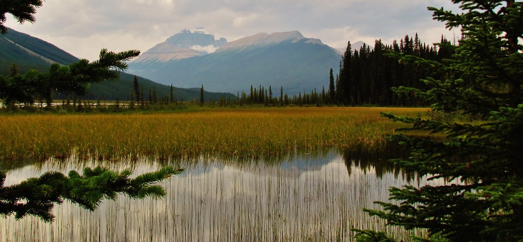
Parker Ridge with Big Bend Peak
IMG_7495 (2)
IMG_1404 (2)
IMG_2415 (2)
IMG_1621 (2)
IMG_1622 (2)
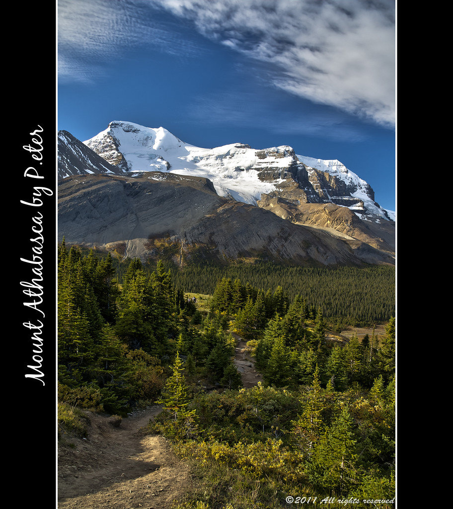
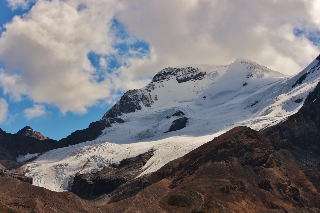
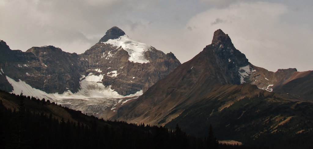
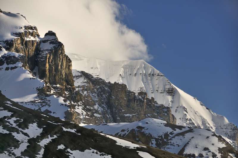
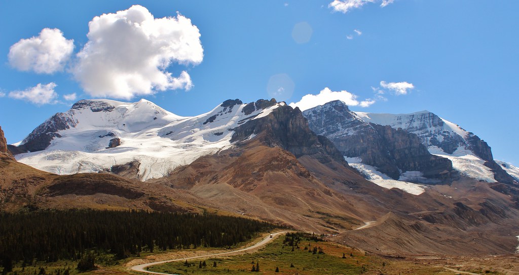
Mount Athabasca
Topographic Map of Nigel SE3, Improvement District No. 9, AB T0L, Canada
Find elevation by address:

Places near Nigel SE3, Improvement District No. 9, AB T0L, Canada:
Sunwapta Pass
Parker Ridge Trailhead
Nigel Peak
Parkers Ridge
Hilda Peak
Wilcox Pass Trail
Parker Ridge
Boundary Peak
Mount Athabasca
Big Bend Peak
Icefields Parkway
Columbia Icefield Discovery Centre
Mount Andromeda
Wilcox Peak
Athabasca Glacier
Flat Ridge
Marble Mountain
Sunwapta E3
Mount K2
Marble Nw4
Recent Searches:
- Elevation of Corso Fratelli Cairoli, 35, Macerata MC, Italy
- Elevation of Tallevast Rd, Sarasota, FL, USA
- Elevation of 4th St E, Sonoma, CA, USA
- Elevation of Black Hollow Rd, Pennsdale, PA, USA
- Elevation of Oakland Ave, Williamsport, PA, USA
- Elevation of Pedrógão Grande, Portugal
- Elevation of Klee Dr, Martinsburg, WV, USA
- Elevation of Via Roma, Pieranica CR, Italy
- Elevation of Tavkvetili Mountain, Georgia
- Elevation of Hartfords Bluff Cir, Mt Pleasant, SC, USA