Elevation of Niers Altarm, Weeze, Germany
Location: Germany > North Rhine-westphalia > Düsseldorf > Weeze >
Longitude: 6.2123515
Latitude: 51.6292841
Elevation: 19m / 62feet
Barometric Pressure: 101KPa
Elevation Map:
Satellite Map:
Related Photos:
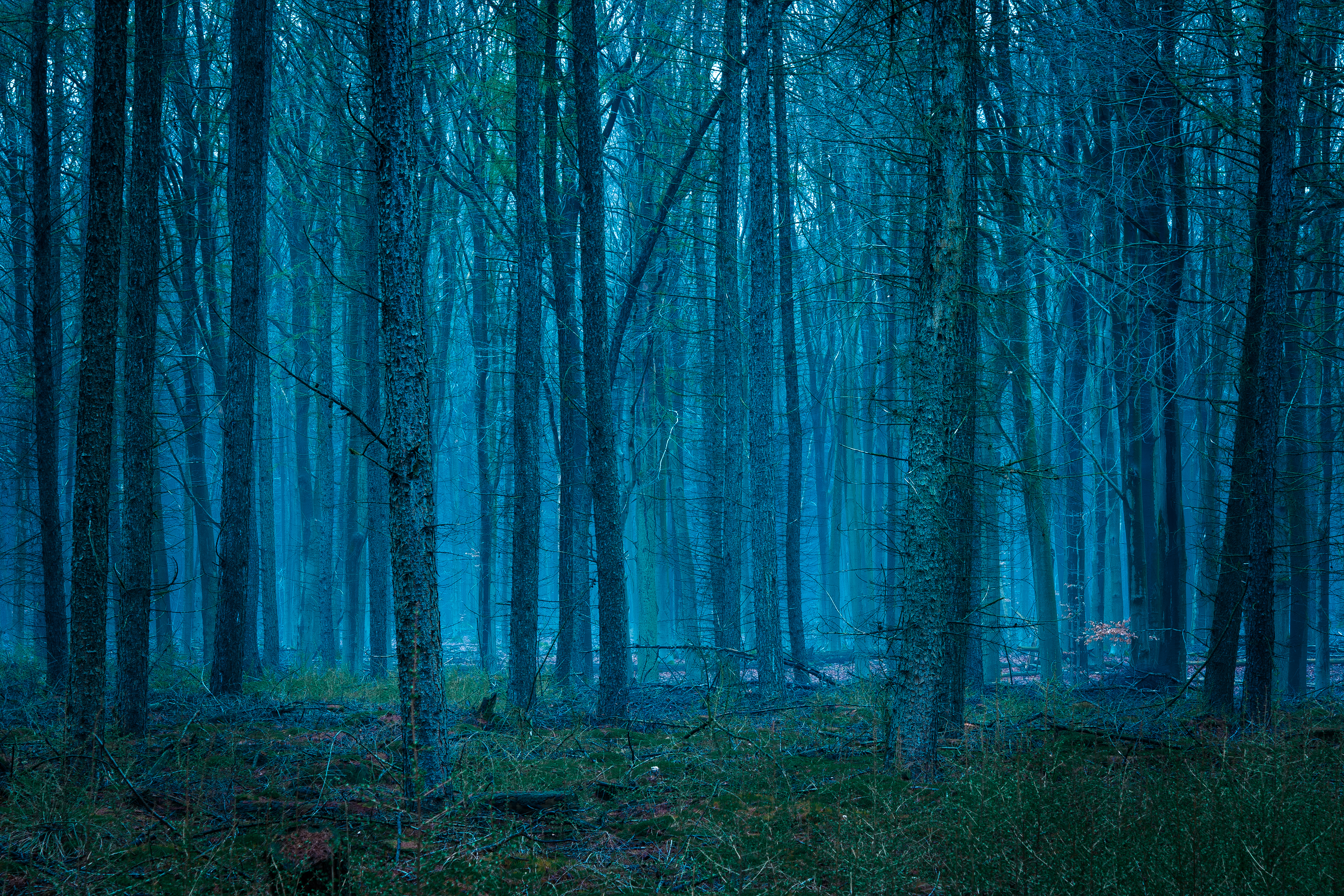
Eerie Glow
Topographic Map of Niers Altarm, Weeze, Germany
Find elevation by address:

Places near Niers Altarm, Weeze, Germany:
Wasserstraße
Weeze
Vorselaer 6, Weeze, Germany
Hope To Visit This Year.
Uedem
Uedemerfelder Weg 33, Uedem, Germany
Kleve
Moyländer Allee 10
Mühlenstraße 66
Bedburg-hau
Kalkar
Bartelter Weg 8
Geldern
Köln-mindener-bahn 12
Pannofenstraße 38
Hönnepel
Griether Straße
Kleve
Aengenesch, Issum, Germany
Straelen
Recent Searches:
- Elevation of Corso Fratelli Cairoli, 35, Macerata MC, Italy
- Elevation of Tallevast Rd, Sarasota, FL, USA
- Elevation of 4th St E, Sonoma, CA, USA
- Elevation of Black Hollow Rd, Pennsdale, PA, USA
- Elevation of Oakland Ave, Williamsport, PA, USA
- Elevation of Pedrógão Grande, Portugal
- Elevation of Klee Dr, Martinsburg, WV, USA
- Elevation of Via Roma, Pieranica CR, Italy
- Elevation of Tavkvetili Mountain, Georgia
- Elevation of Hartfords Bluff Cir, Mt Pleasant, SC, USA