Elevation of Niederabsdorf, Austria
Location: Austria > Lower Austria > Gänserndorf District >
Longitude: 16.8533685
Latitude: 48.5748403
Elevation: 154m / 505feet
Barometric Pressure: 99KPa
Elevation Map:
Satellite Map:
Related Photos:
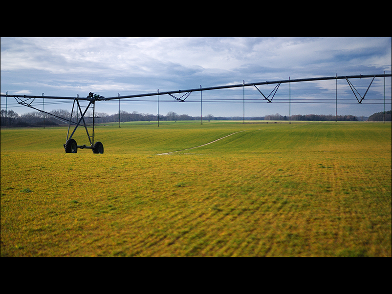
weaving the landscape
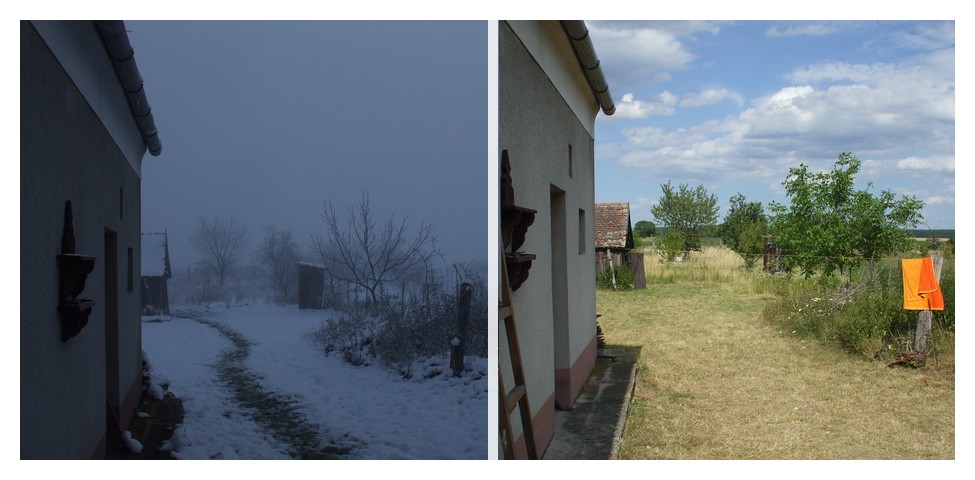
same view, different time

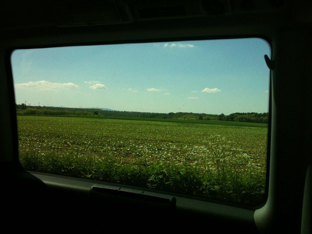
Slovakia, Záhorie region

Kellerberg-Abend 2
Австрия
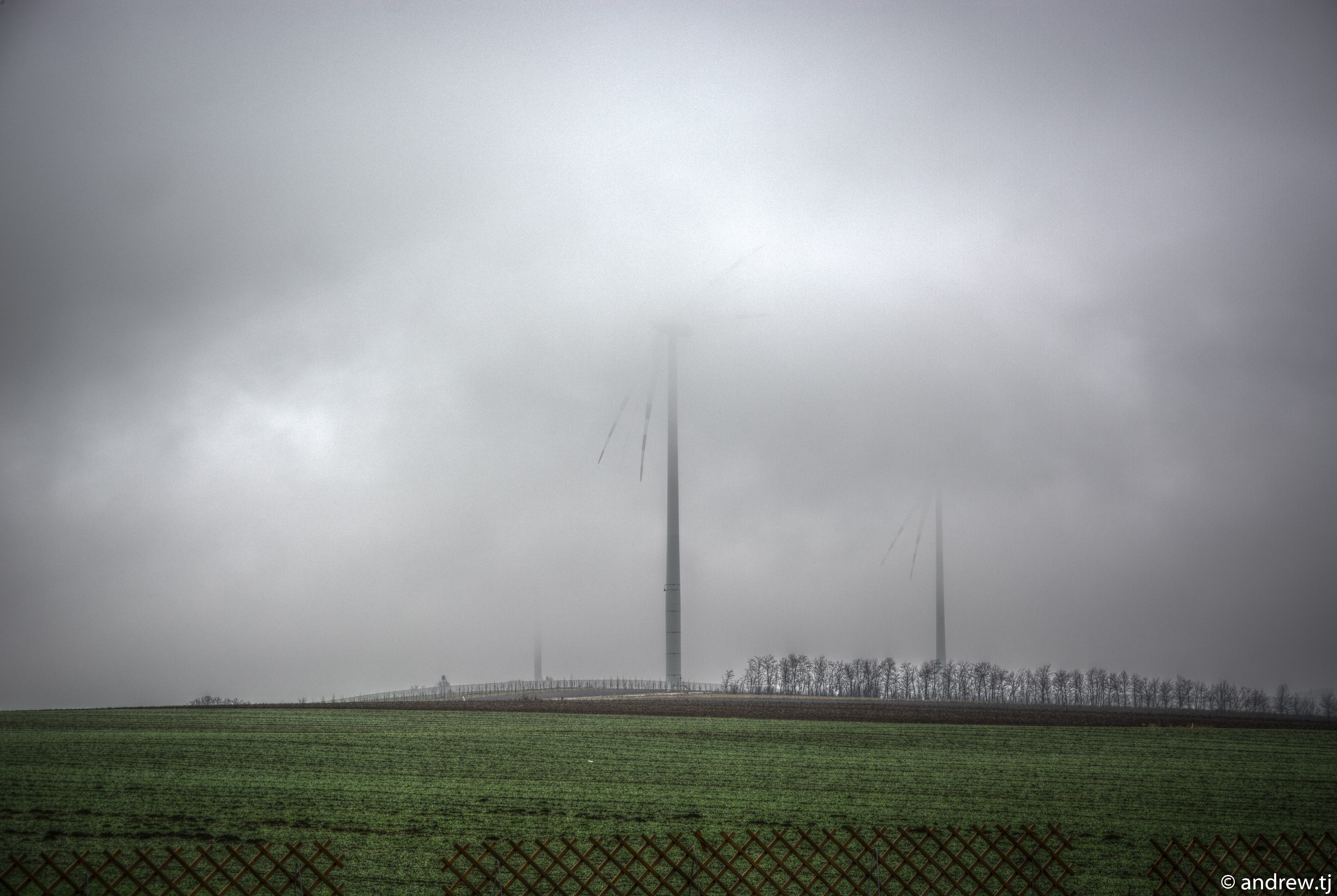
hdr5-110

Za priekopou

ein Altarm wächst zu

Slovakia, Záhorie region

zaplavená lúka pri Komprzí

Einlaufbereich an der Thaya

Modern Landscape, Austria
Topographic Map of Niederabsdorf, Austria
Find elevation by address:

Places in Niederabsdorf, Austria:
Places near Niederabsdorf, Austria:
Kirchenberg, Niederabsdorf, Austria
Obere Hauptstraße, Ringelsdorf, Austria
Gänserndorf District
Břeclav District
Mistelbach District
Mikulov
Vinařská
Pod Hájkem /13, 01 Mikulov, Czech Republic
Untersiebenbrunn
Strasshof An Der Nordbahn
Strasshof An Der Nordbahn
5b
Pillichsdorf
Pillichsdorf
Hochleithenstraße 34, Wolkersdorf im Weinviertel, Austria
Dolní Dunajovice
Hlavní 99, 85 Dolní Dunajovice, Czech Republic
Altmanns 13, Altmanns, Austria
Altmanns
South Moravian Region
Recent Searches:
- Elevation of Corso Fratelli Cairoli, 35, Macerata MC, Italy
- Elevation of Tallevast Rd, Sarasota, FL, USA
- Elevation of 4th St E, Sonoma, CA, USA
- Elevation of Black Hollow Rd, Pennsdale, PA, USA
- Elevation of Oakland Ave, Williamsport, PA, USA
- Elevation of Pedrógão Grande, Portugal
- Elevation of Klee Dr, Martinsburg, WV, USA
- Elevation of Via Roma, Pieranica CR, Italy
- Elevation of Tavkvetili Mountain, Georgia
- Elevation of Hartfords Bluff Cir, Mt Pleasant, SC, USA