Elevation of Ngobit, Kenya
Location: Kenya > Laikipia County >
Longitude: 36.6309842
Latitude: -0.0749279
Elevation: 2169m / 7116feet
Barometric Pressure: 78KPa
Elevation Map:
Satellite Map:
Related Photos:

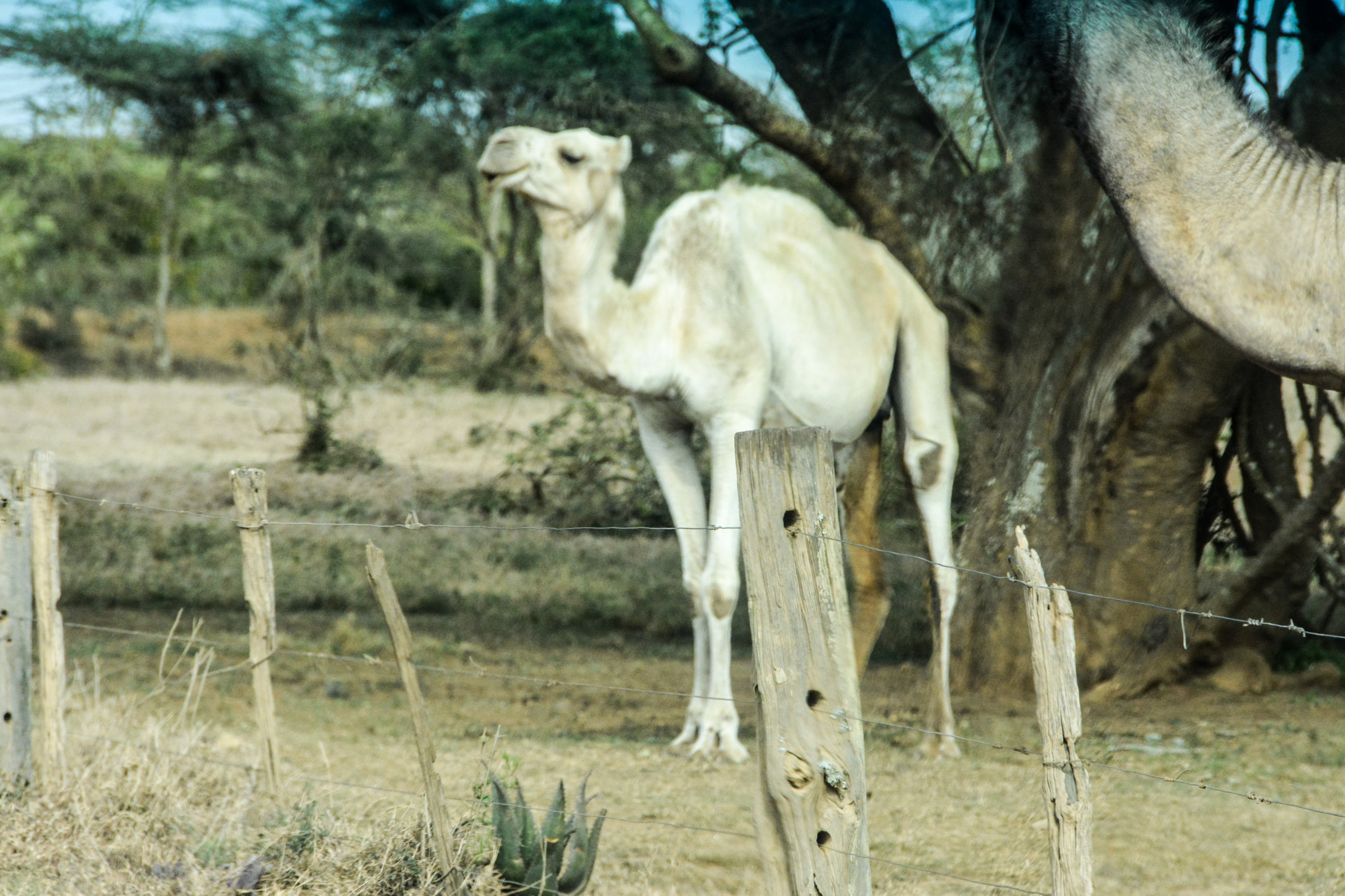
Views on the Road, Mount Kenya to Lake Nakuru

Views on the Road, Mount Kenya to Lake Nakuru

Views on the Road, Mount Kenya to Lake Nakuru

Views on the Road, Mount Kenya to Lake Nakuru

Half-Built Roads, Mount Kenya to Lake Nakuru

Foto 03-08-13 10 57 56

Foto 03-08-13 10 58 06

Foto 05-08-13 14 52 19

Foto 05-08-13 14 41 33
DEC_1893.jpg

DEC_1891.jpg

DEC_1889.jpg

DEC_1891.jpg

20180223_025: on B5 near Sirims Junction

20180223_027: on B5 near Sirims Junction

20180223_026: on B5 near Sirims Junction

20180223_028: on B5 near Sirims Junction
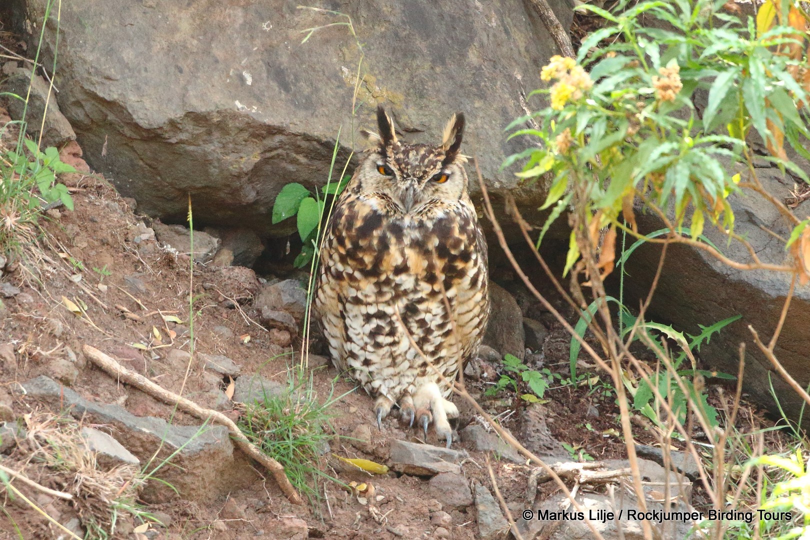
Cape Eagle-Owl, Kenya -001

Kenya-20140104-01040(iPhone 5)
Topographic Map of Ngobit, Kenya
Find elevation by address:

Places near Ngobit, Kenya:
Ol Pejeta Conservancy
Aberdare Range
Abergare Forest
Naro Moru
Lusoi Resort
Outspan Hotel Nyeri
Thirigitu
Nyeri
Kieni East
Kangemi Shopping Center
Chaka Ranch
Mount Kenya Safari Club
Hotel Fairmont Mount Kenya Safari Club
Ndathi
Nyeri
Nyana Hill
Itiati Hill
Ngandu
Mathira Technical & Vocational College
Karatina
Recent Searches:
- Elevation of Corso Fratelli Cairoli, 35, Macerata MC, Italy
- Elevation of Tallevast Rd, Sarasota, FL, USA
- Elevation of 4th St E, Sonoma, CA, USA
- Elevation of Black Hollow Rd, Pennsdale, PA, USA
- Elevation of Oakland Ave, Williamsport, PA, USA
- Elevation of Pedrógão Grande, Portugal
- Elevation of Klee Dr, Martinsburg, WV, USA
- Elevation of Via Roma, Pieranica CR, Italy
- Elevation of Tavkvetili Mountain, Georgia
- Elevation of Hartfords Bluff Cir, Mt Pleasant, SC, USA