Elevation of New Morin Rd, Hartington, ON K0H 1W0, Canada
Location: Canada > Ontario > Frontenac County > South Frontenac >
Longitude: -76.624351
Latitude: 44.4556314
Elevation: 172m / 564feet
Barometric Pressure: 99KPa
Elevation Map:
Satellite Map:
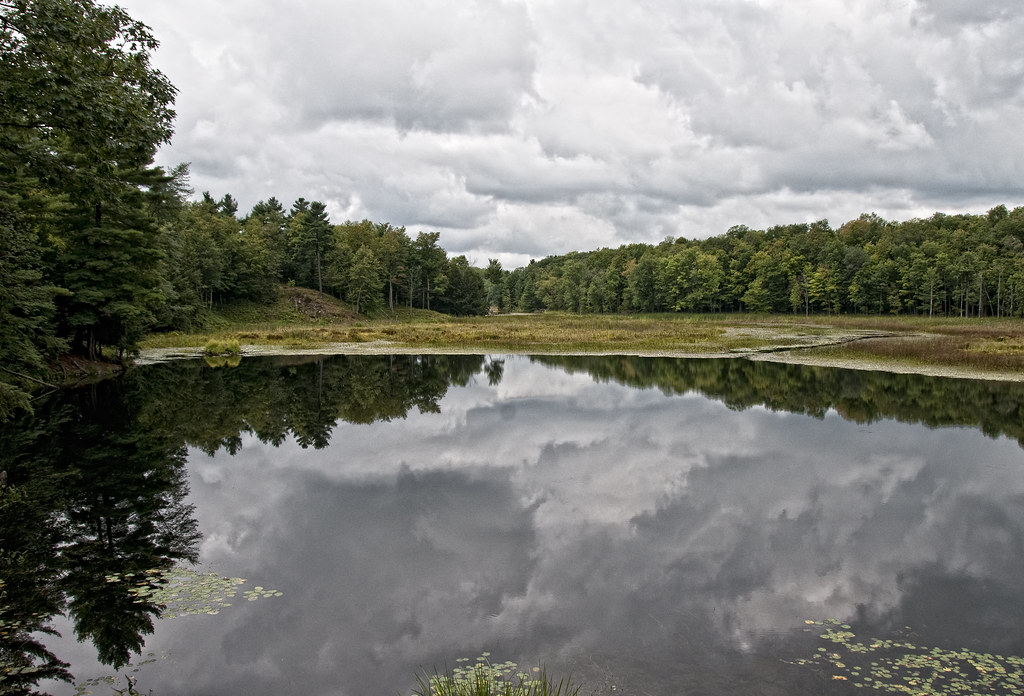
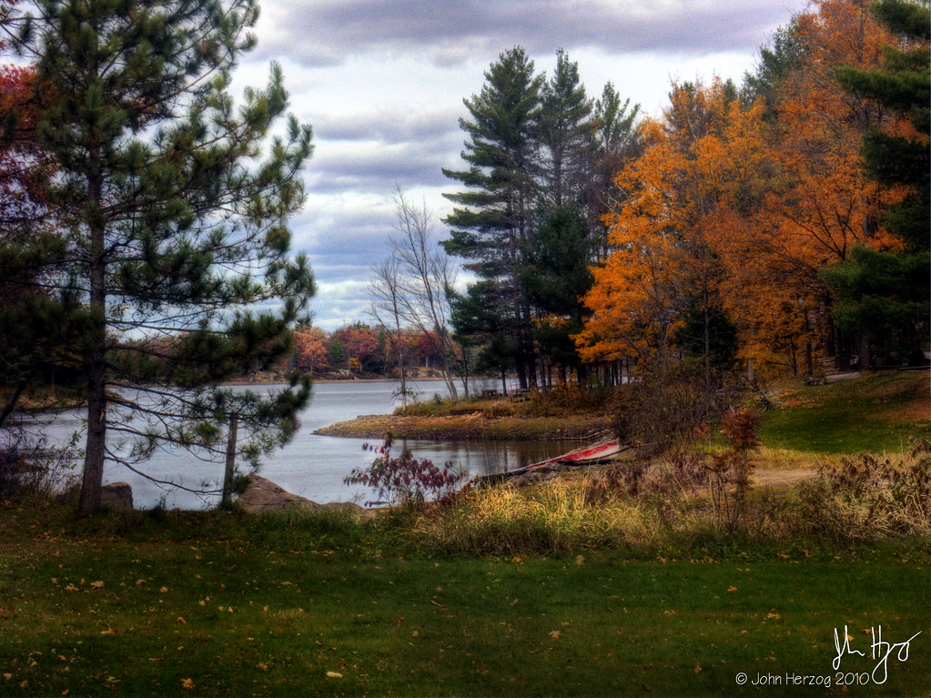
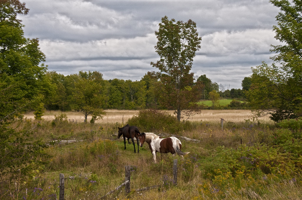
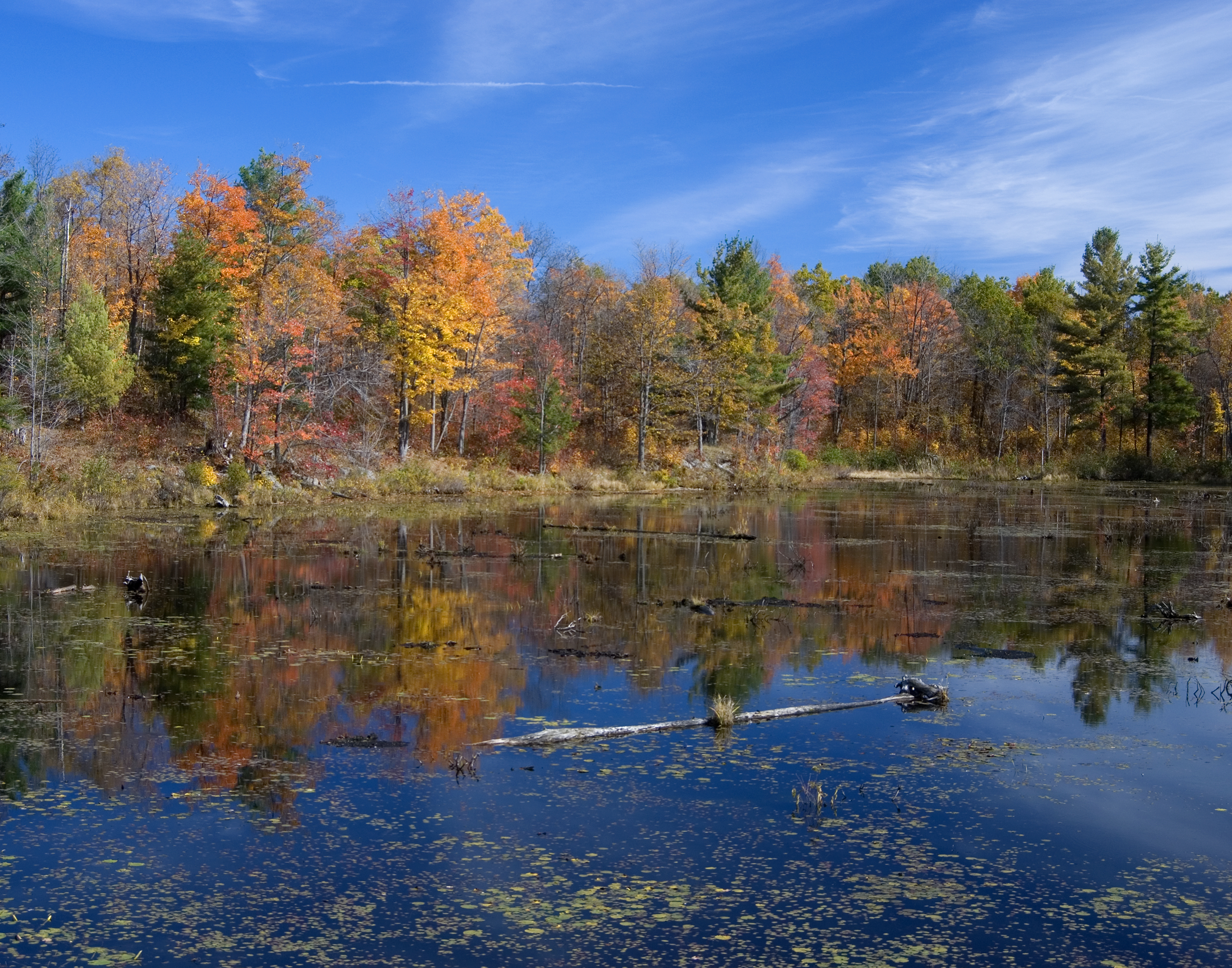
Related Photos:

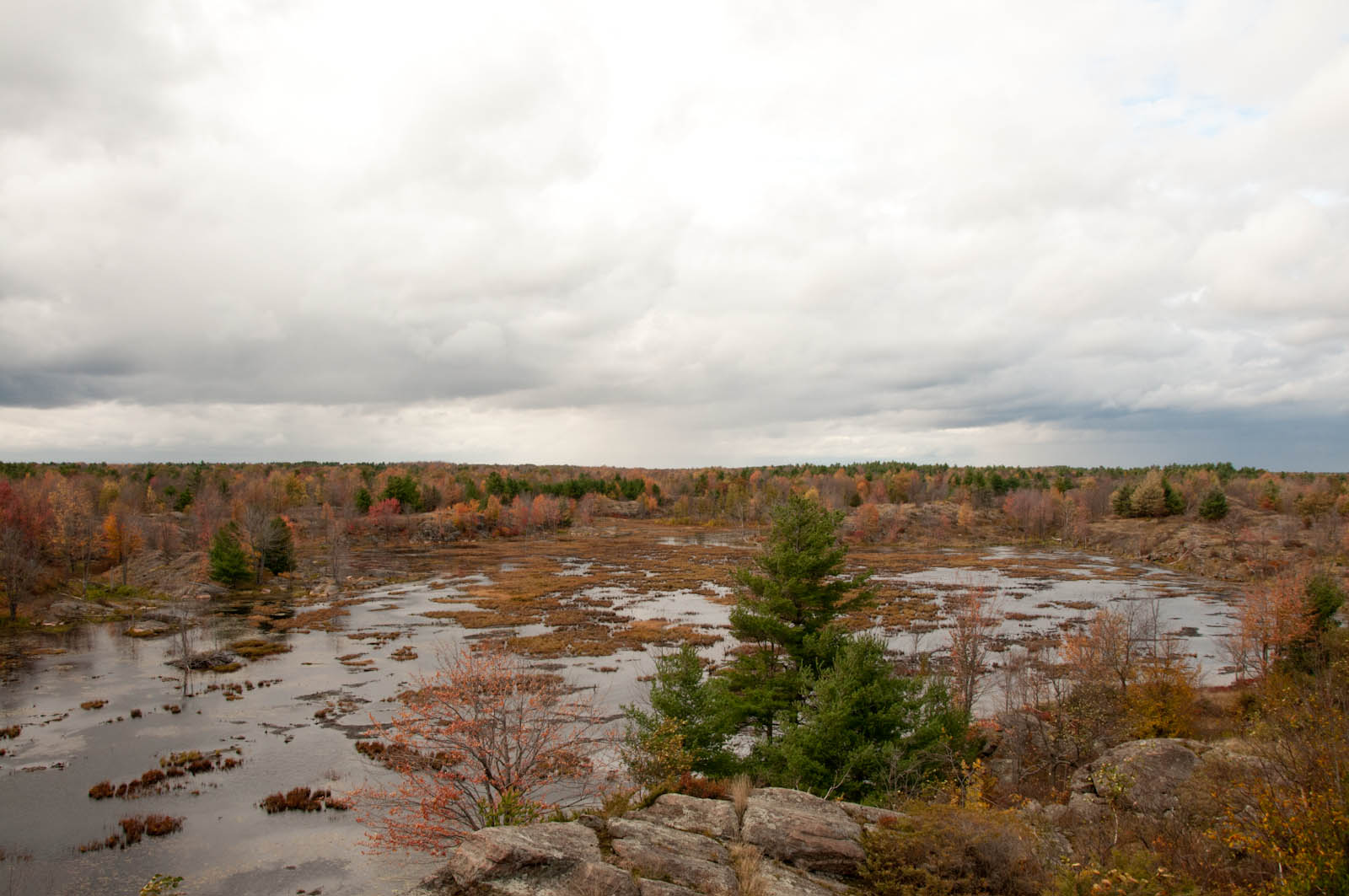
Meadowhawk, Desert Lake, Ontario
Boyce Island, viewed from just west of it
Boyce Island, viewed from just east of it
DSD_6836 Clearwater Road South viewed easterly from the Cataraqui Trail crossing
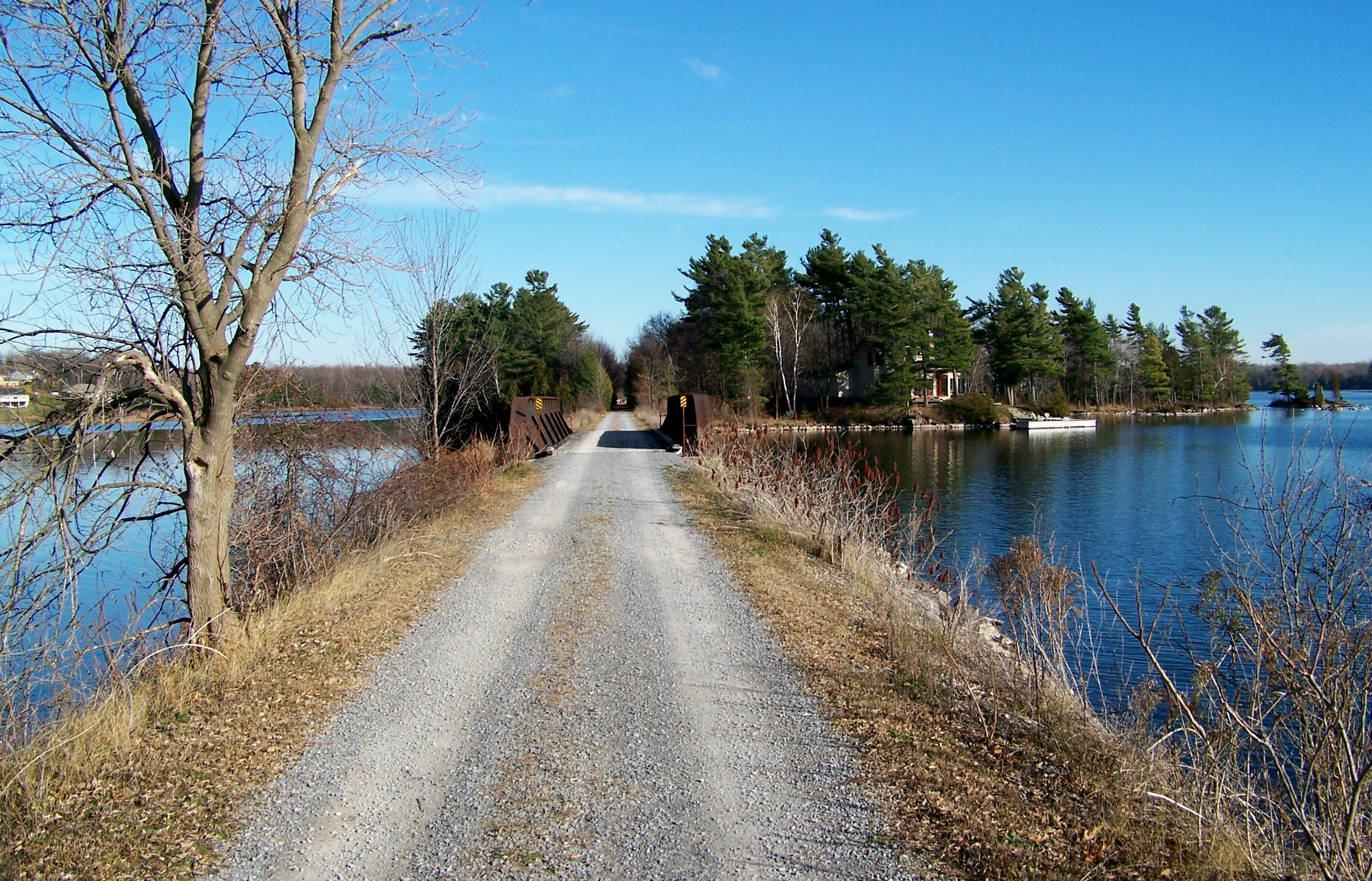
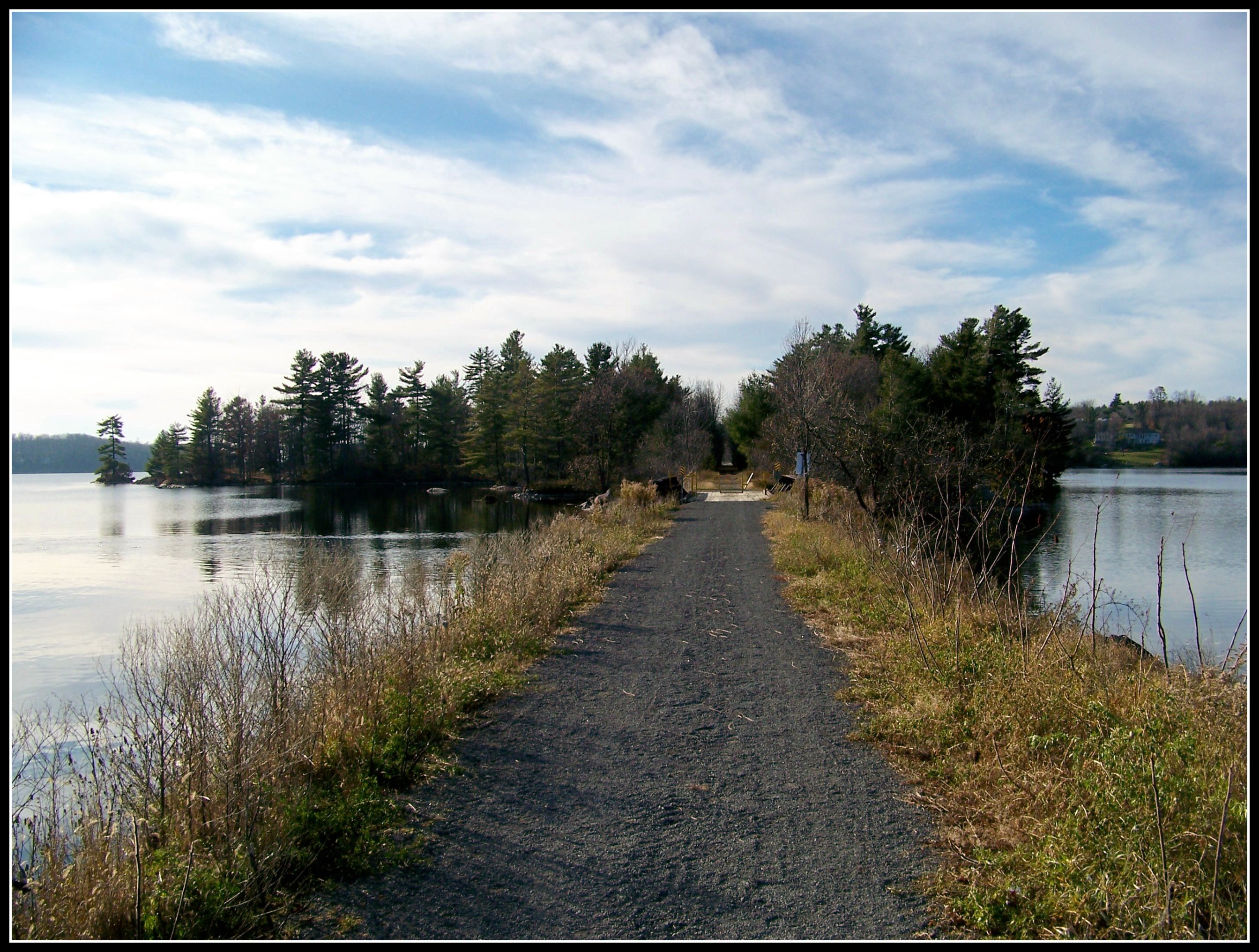
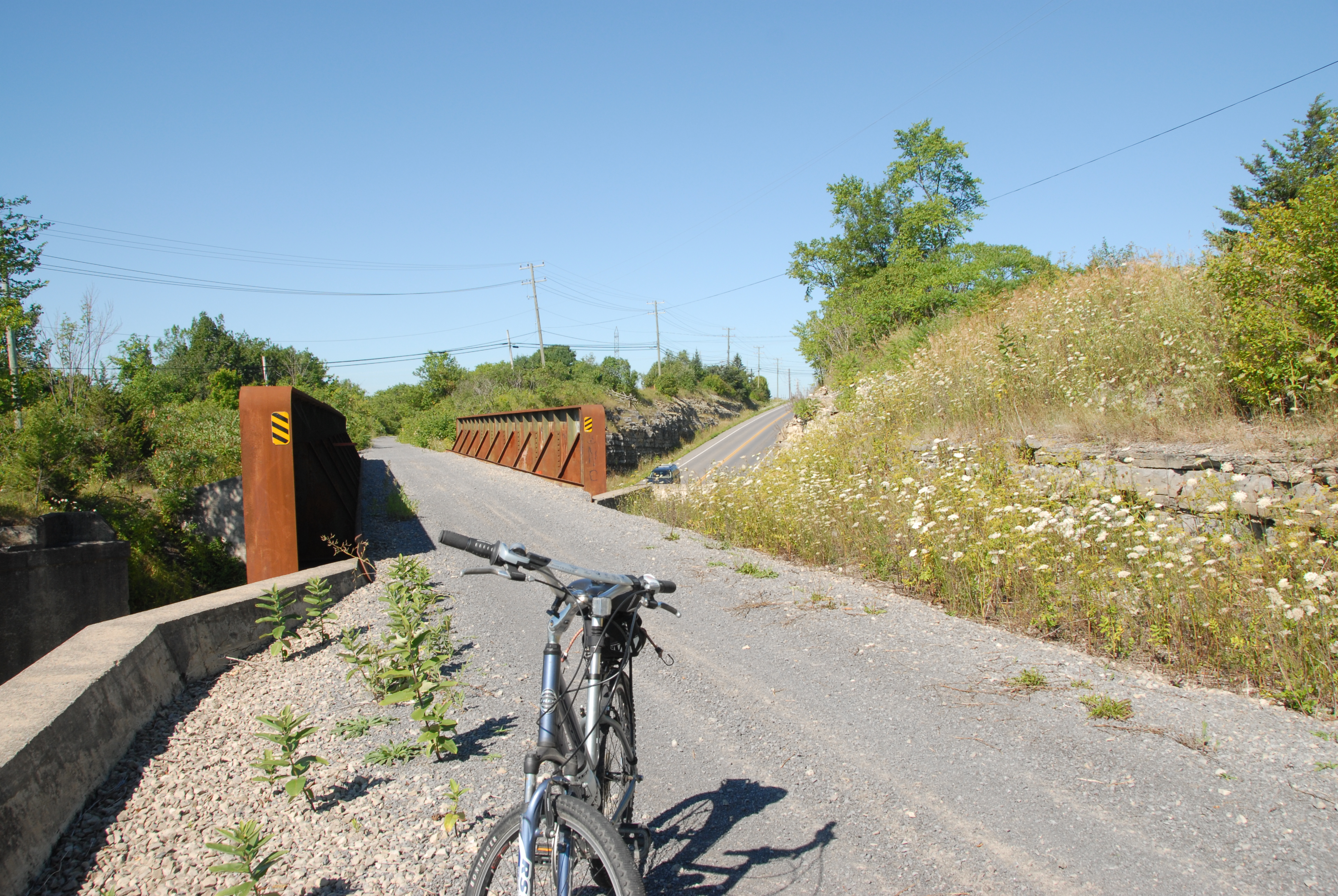
DSD_6835 Cataraqui Trail viewed northeasterly from Clearwater Road South
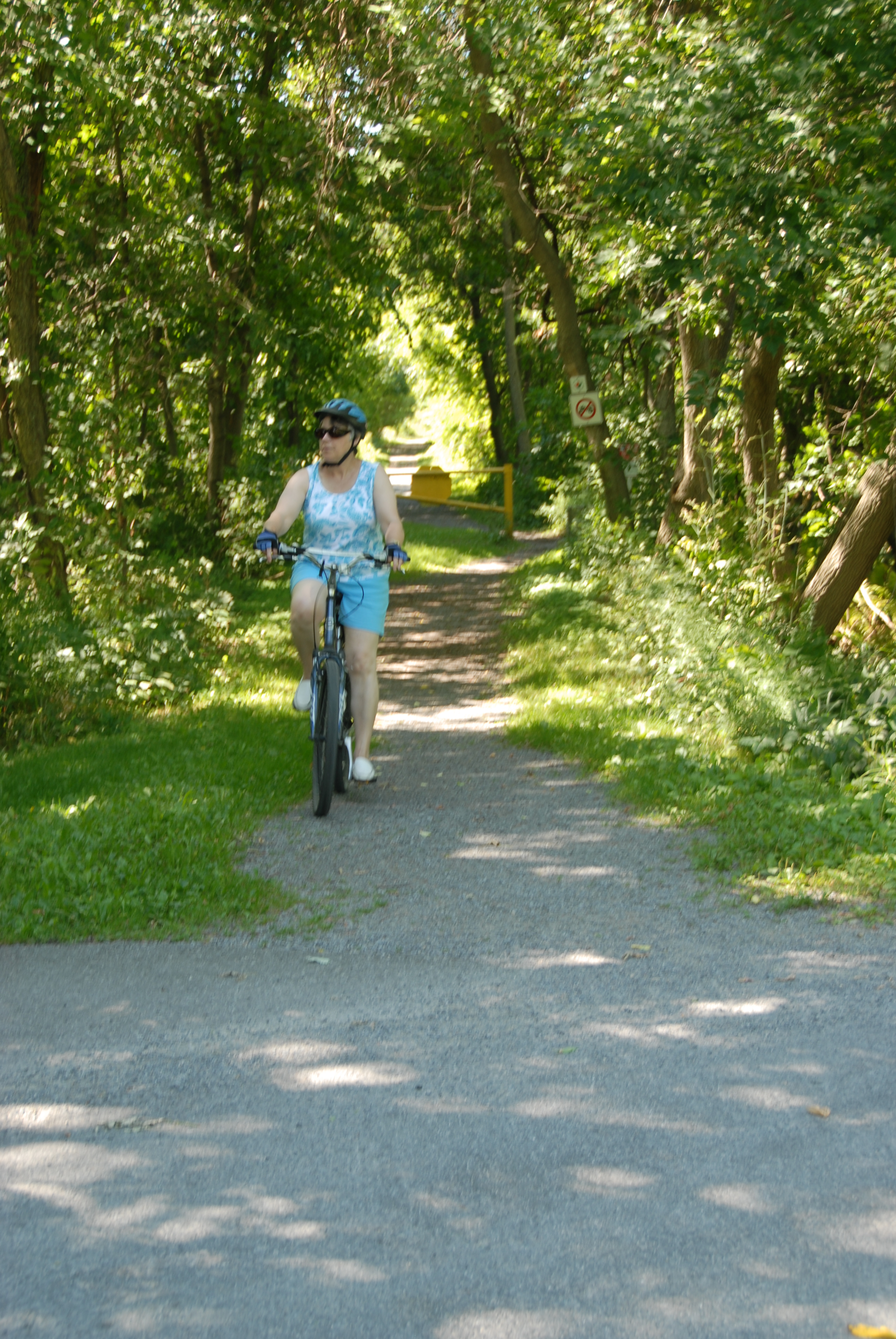
DSD_6834 Cataraqui Trail viewed westerly from Clearwater Road South
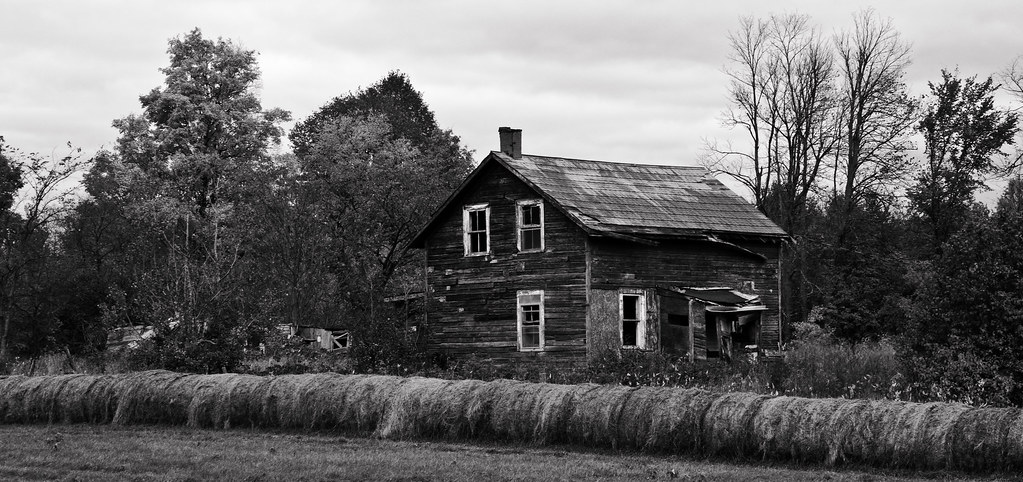
Old Homestead

Doe Lake, Frontenac Provincial Park

DSC_4697 Cataraqui Trail - Yarker
Alternative View

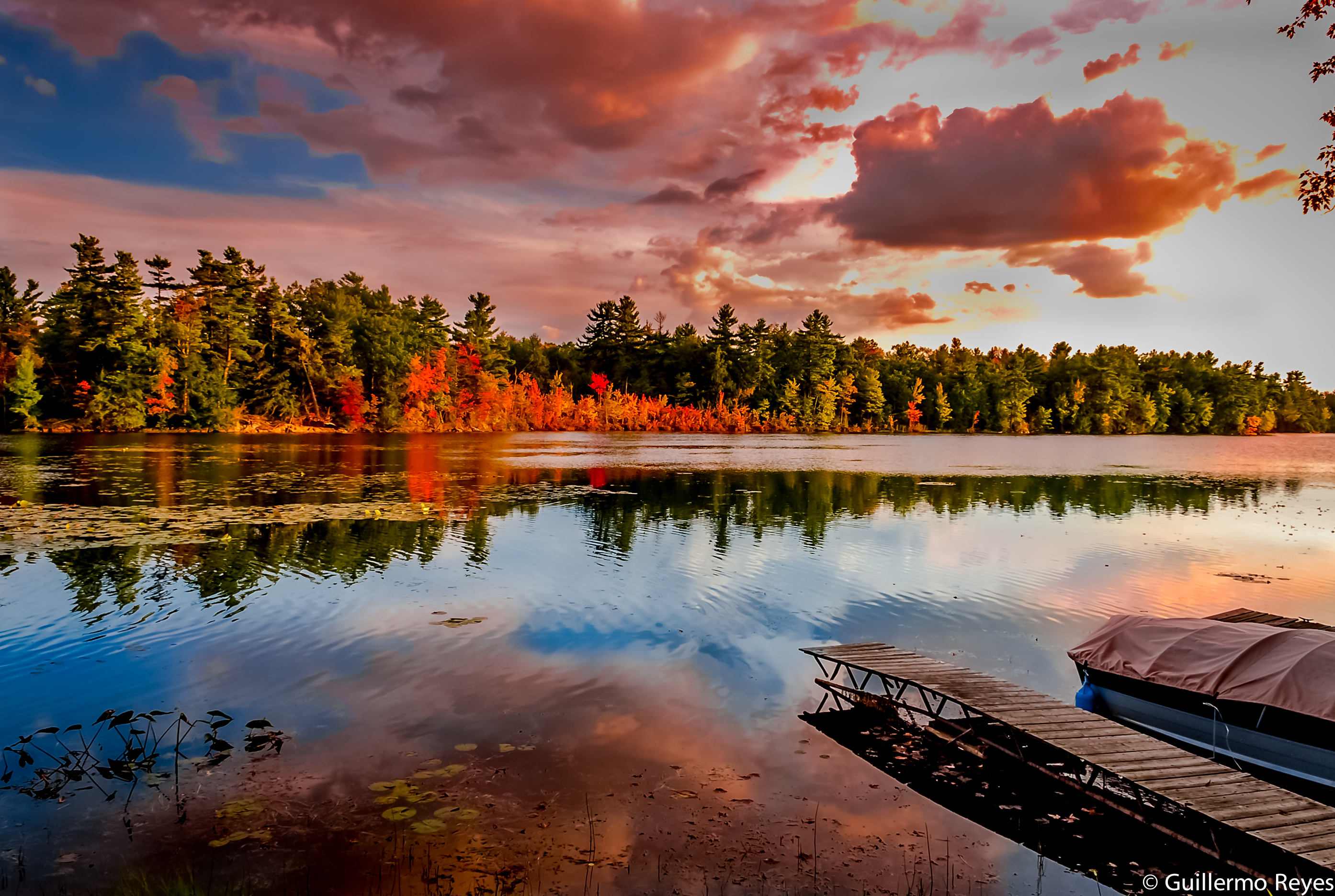
Moonrise over Desert Lake

Point of View
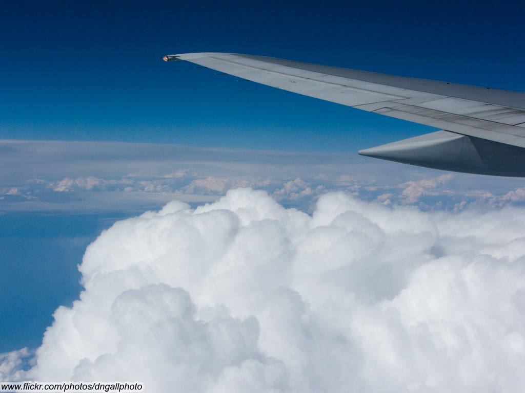
Airplane Wing and Clouds

Canoe view of the bay by Abrams
Frontenac 020
DSD_6786 View SW'ly along the Cataraqui Trail overpass over Harrowsmith Road
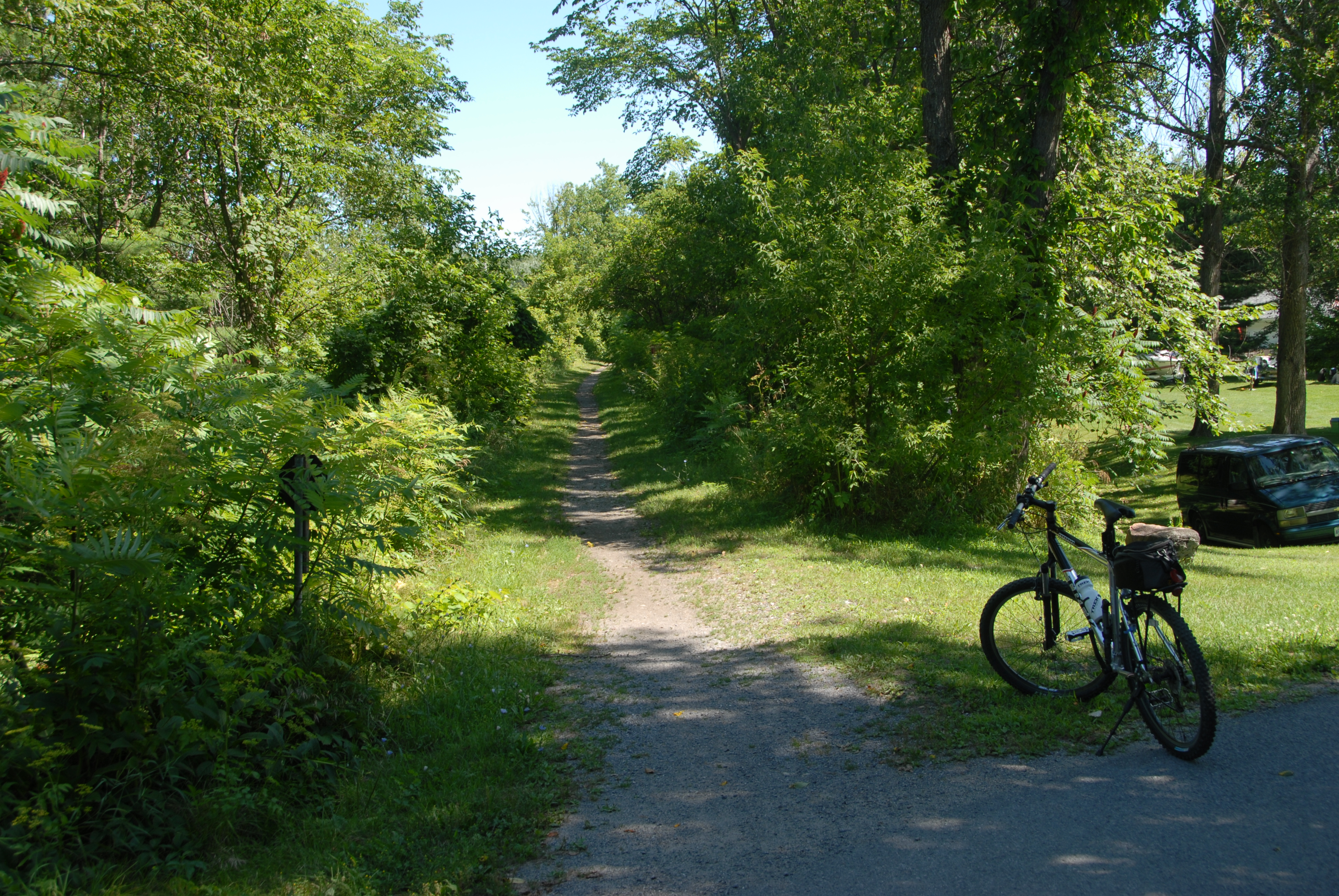
DSD_6841 Cataraqui Trail passing through Sydenham, Ontario
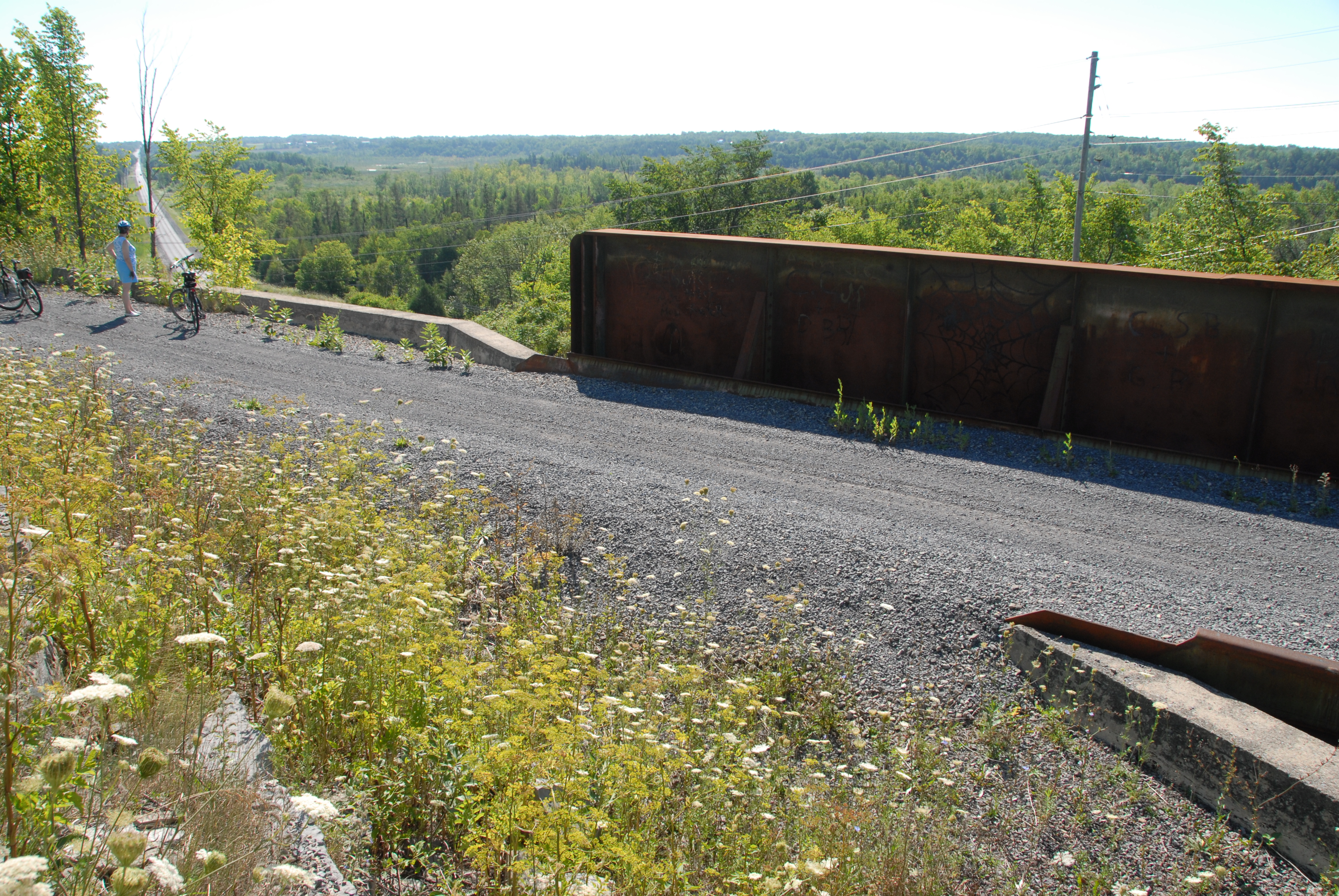
DSD_6787 View easterly across the Cataraqui Trail along Harrowsmith Road
DSC_4696 Cataraqui Trail - Yarker
mushroom, side view
Inside view of Wilton Pottery
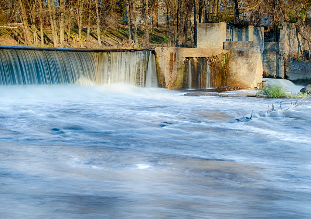
Morning fog over Napanee river...
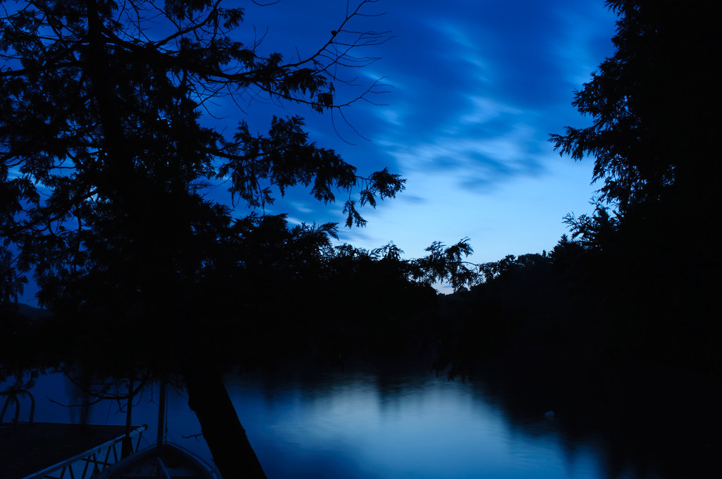
Before dawn - Desert Lake, Ontario, Canada

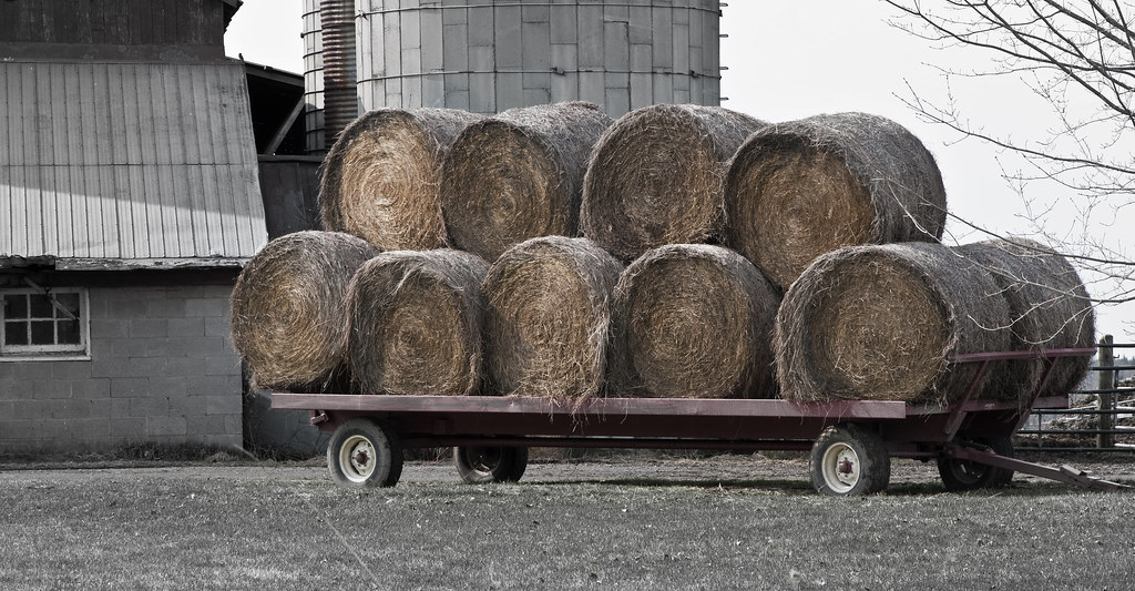
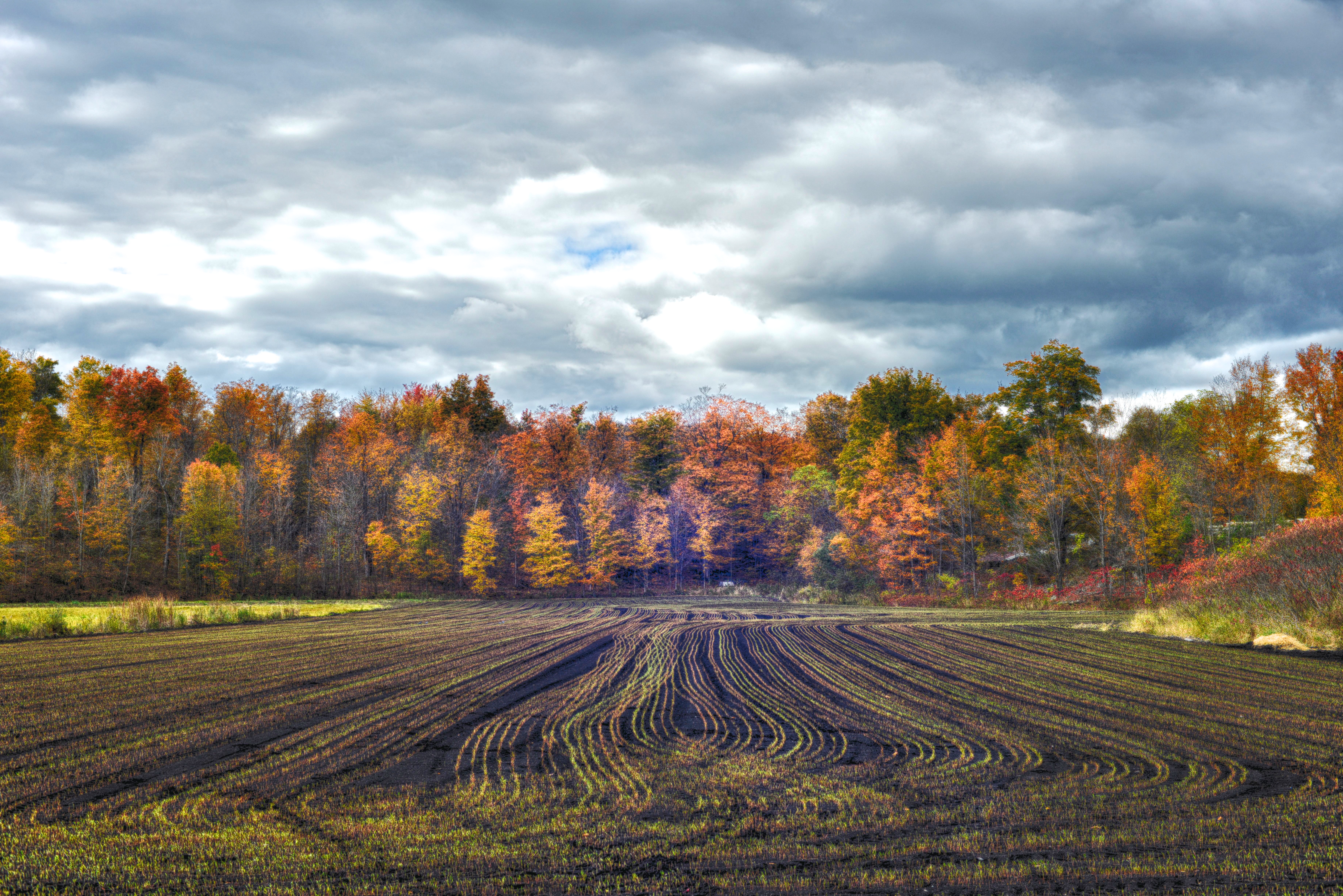
Hay Rolled up in Field
Yarker, Ontario
Paisaje-9

Perth Road, Ontario, Canada

Wall of Trees
Colebrook, Ontario
The Stillness......
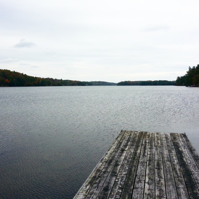
Second Depot Lake 1
Week 37: Equine Pastoral
Sic Transit
Oops? - Perth Road, Ontario, Canada
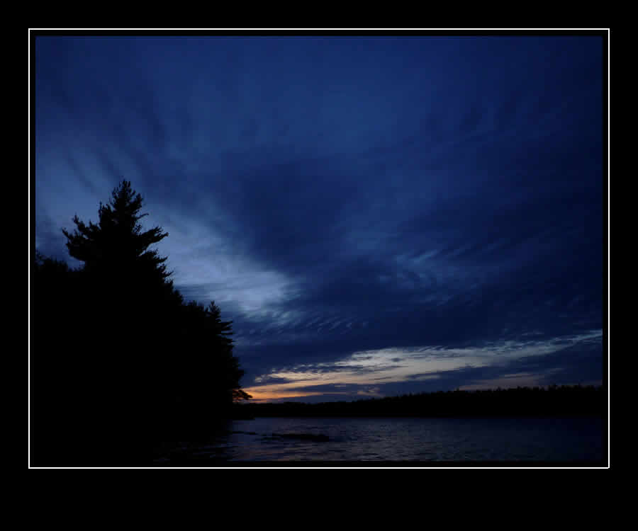
L'heure bleue

Boundary Condition

Out House
Frontenac 047
Desert lake #vacationhome weekend in ontario #ken welte #nanaimo
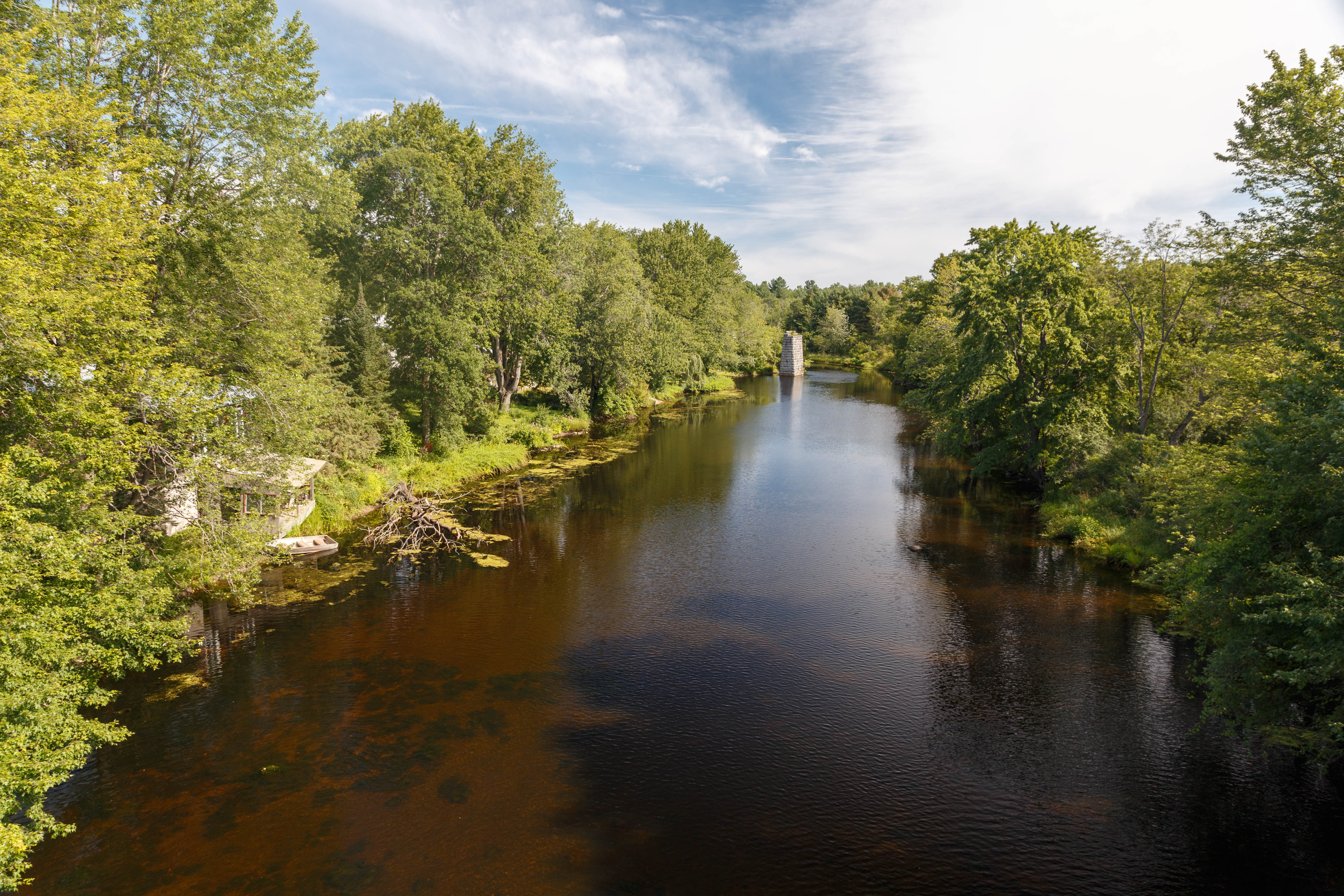
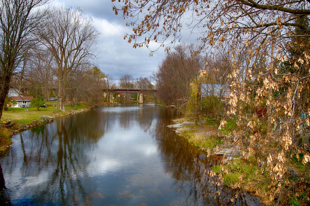
The Napanee River
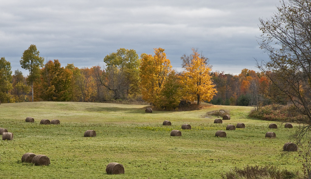
Hay Bales

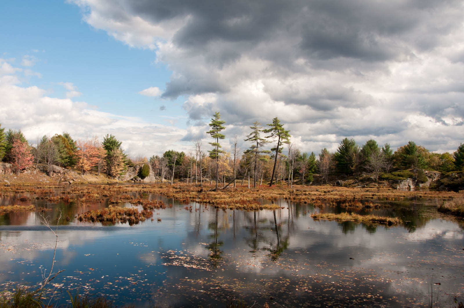
Frontenac Prov Park - 26
Topographic Map of New Morin Rd, Hartington, ON K0H 1W0, Canada
Find elevation by address:

Places near New Morin Rd, Hartington, ON K0H 1W0, Canada:
3177 Bell Rd
5377 New Morin Rd
5377 New Morin Rd
Knowlton Lake
Holleford
2975 Alton Rd W
2963 Alton Rd W
2955 Alton Rd W
2963 Alton Rd E
Sydenham
Wilmer Road
3403 Four Seasons Dr
3391 Four Seasons Dr
3383 Four Seasons Dr
3388 Four Seasons Dr
Perth Road
Inverary
3433 Round Lake Rd
Unity Rd, Glenburnie, ON K0H 1S0, Canada
Valley Ln, Perth Road, ON K0H 2L0, Canada
Recent Searches:
- Elevation of Corso Fratelli Cairoli, 35, Macerata MC, Italy
- Elevation of Tallevast Rd, Sarasota, FL, USA
- Elevation of 4th St E, Sonoma, CA, USA
- Elevation of Black Hollow Rd, Pennsdale, PA, USA
- Elevation of Oakland Ave, Williamsport, PA, USA
- Elevation of Pedrógão Grande, Portugal
- Elevation of Klee Dr, Martinsburg, WV, USA
- Elevation of Via Roma, Pieranica CR, Italy
- Elevation of Tavkvetili Mountain, Georgia
- Elevation of Hartfords Bluff Cir, Mt Pleasant, SC, USA