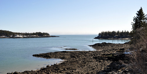
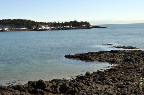
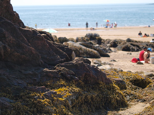
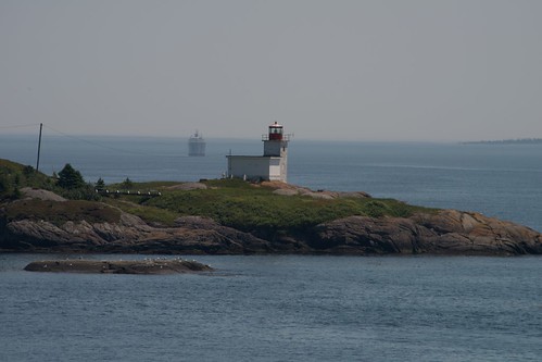
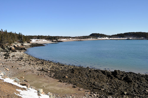
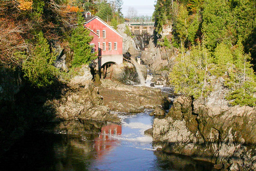
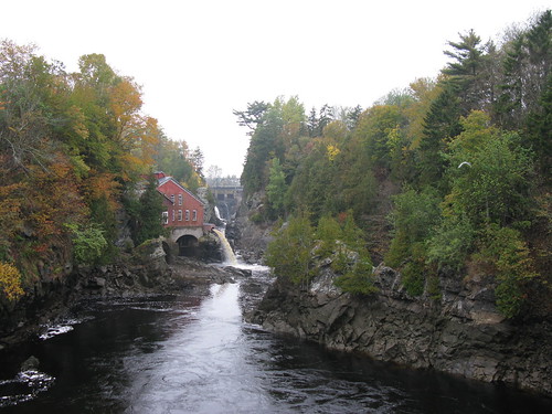
Elevation of New Brunswick E5H, Canada
Location: Canada > New Brunswick > Charlotte County > Pennfield > Pennfield >
Longitude: -66.704731
Latitude: 45.1144412
Elevation: 67m / 220feet
Barometric Pressure: 101KPa
Related Photos:
Topographic Map of New Brunswick E5H, Canada
Find elevation by address:

Places near New Brunswick E5H, Canada:
Woodland Rd, Pennfield, NB E5H 2A2, Canada
Pennfield
Foleys Cove Road
Seeleys Cove Rd, Seeleys Cove, NB E5H 2E5, Canada
Seeleys Cove
184 Nb-176
504 Seeleys Cove Rd
Pennfield
NB-, Utopia, NB E5C 2K3, Canada
44 Mt Pleasant Rd
Saint George
35 Oliver Shore Crescent
10 Murray Ln
Caithness
Mascarene Rd, Caithness, NB E5C 2T2, Canada
326 Shore Rd
322 Shore Rd
Back Bay
Shore Road
23 Back Bay Cemetery Rd, Back Bay, NB E5C 2W8, Canada
Recent Searches:
- Elevation of Corso Fratelli Cairoli, 35, Macerata MC, Italy
- Elevation of Tallevast Rd, Sarasota, FL, USA
- Elevation of 4th St E, Sonoma, CA, USA
- Elevation of Black Hollow Rd, Pennsdale, PA, USA
- Elevation of Oakland Ave, Williamsport, PA, USA
- Elevation of Pedrógão Grande, Portugal
- Elevation of Klee Dr, Martinsburg, WV, USA
- Elevation of Via Roma, Pieranica CR, Italy
- Elevation of Tavkvetili Mountain, Georgia
- Elevation of Hartfords Bluff Cir, Mt Pleasant, SC, USA
