Elevation of Needles, BC V0G, Canada
Location: Canada > British Columbia > Central Kootenay > Central Kootenay K >
Longitude: -118.09754
Latitude: 49.874409
Elevation: 445m / 1460feet
Barometric Pressure: 96KPa
Elevation Map:
Satellite Map:
Related Photos:
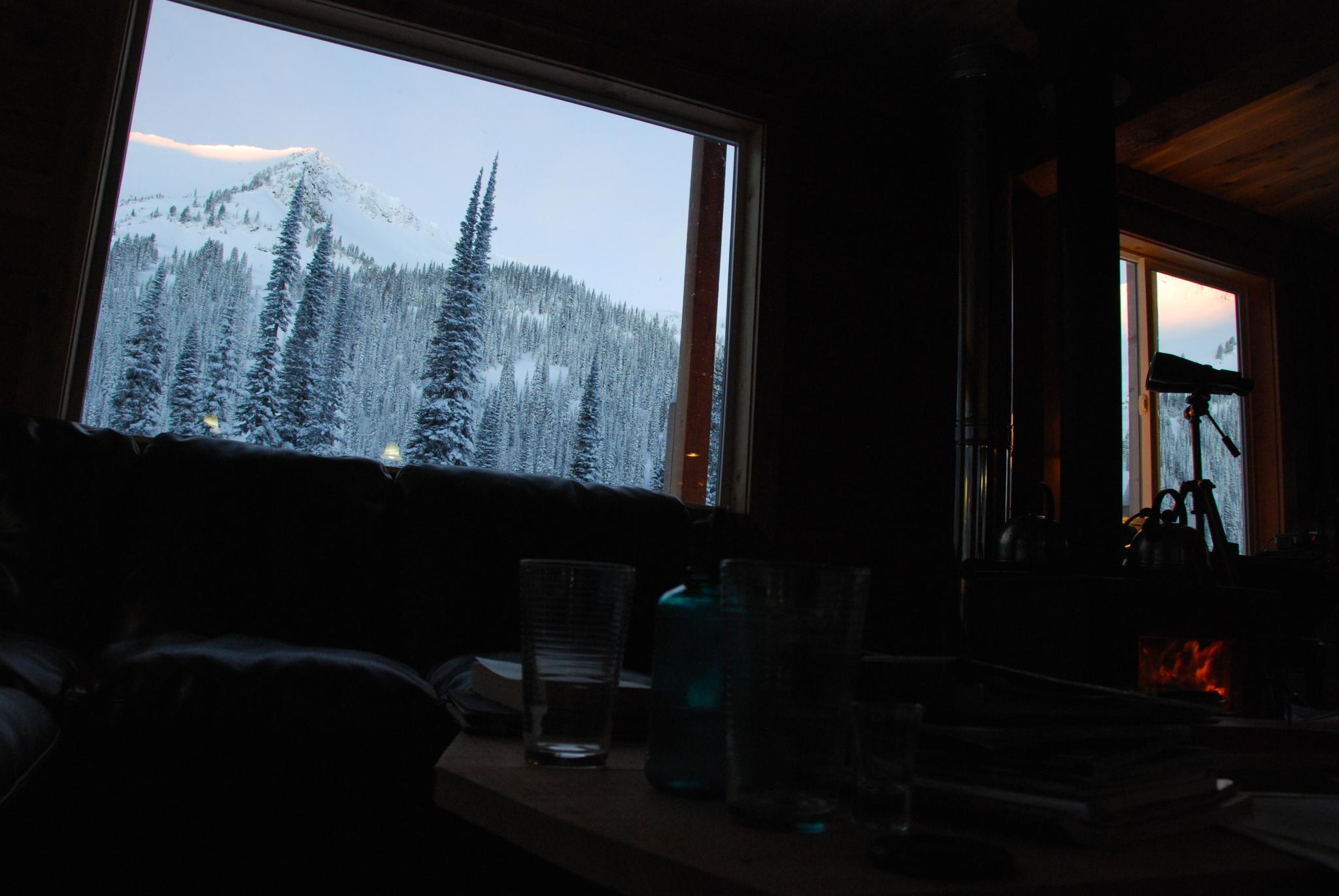
Morning view from inside the hut
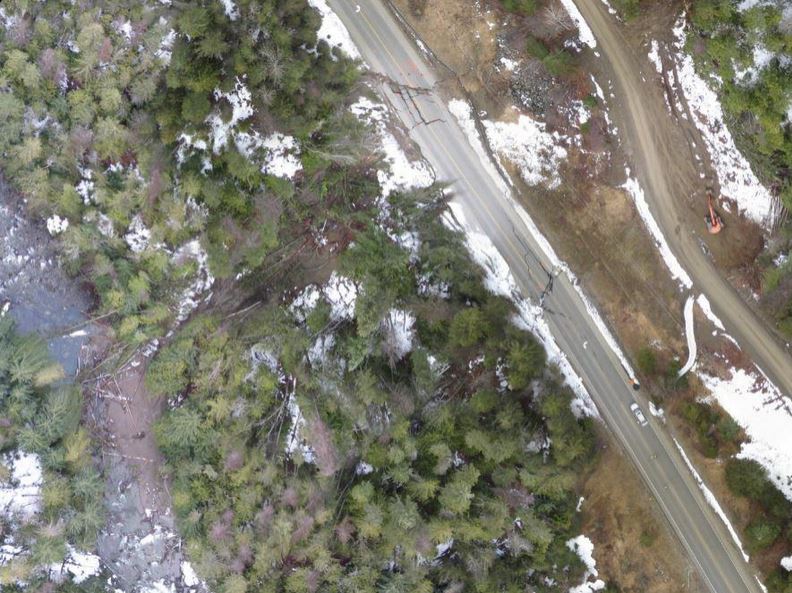
Aerial View of Highway 6 Slide
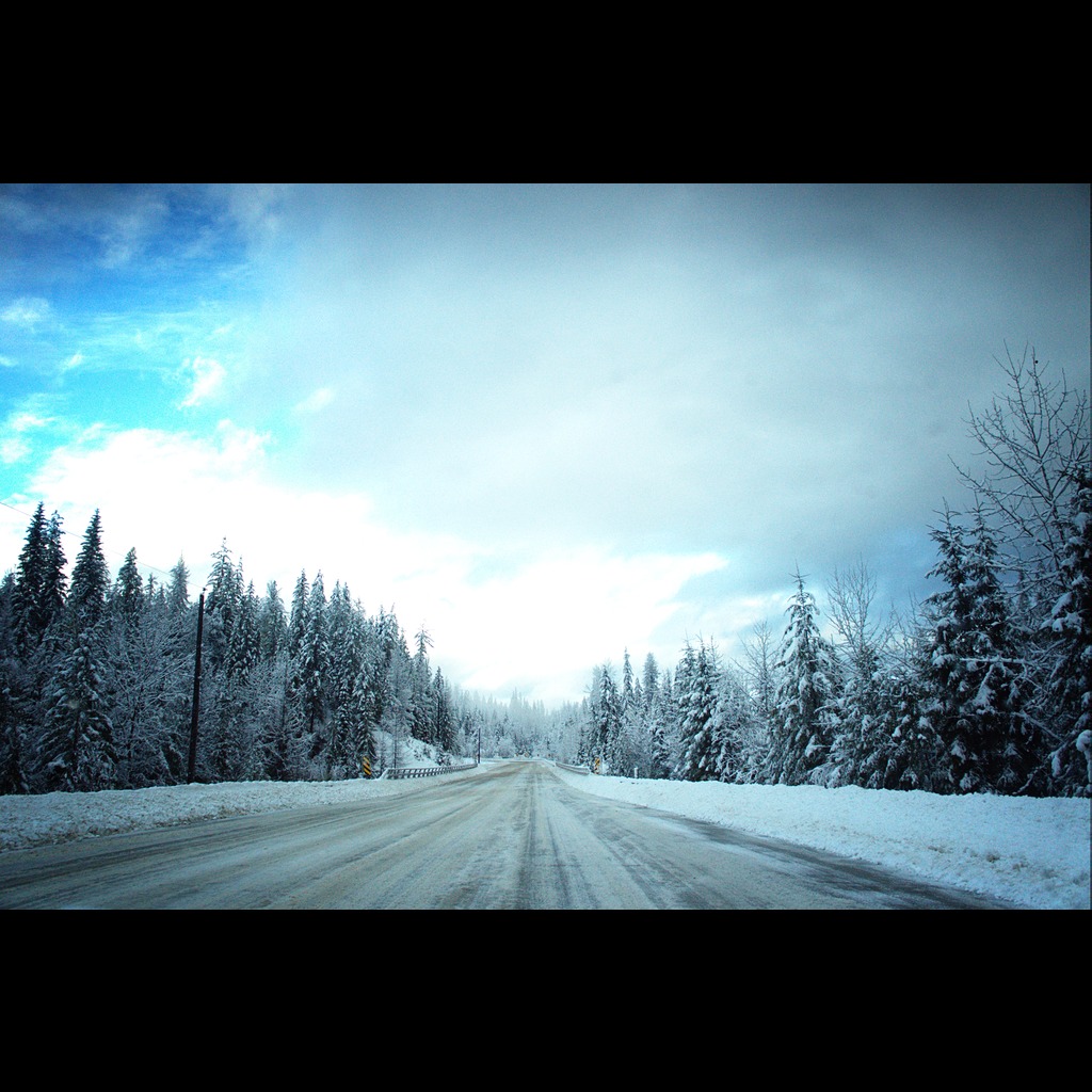
The Road Home
Autumn Camp Sept 29 2017
Autumn Camp 2017 Sep 29
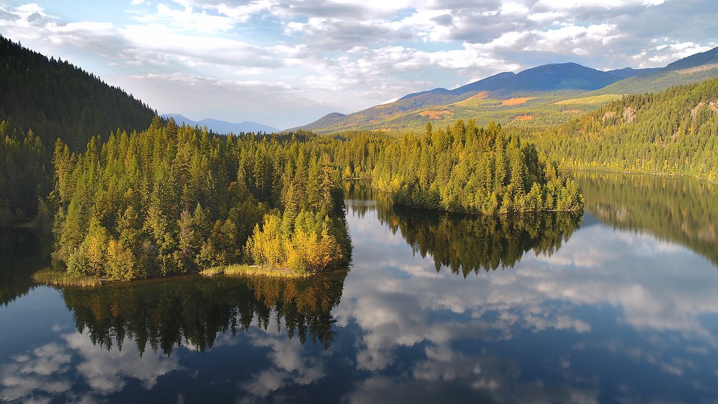
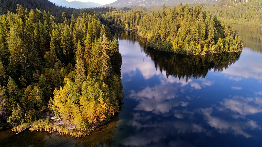
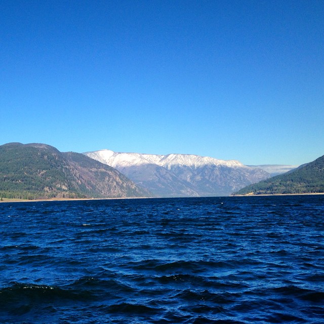
Lower Arrow Lake
Snow guards
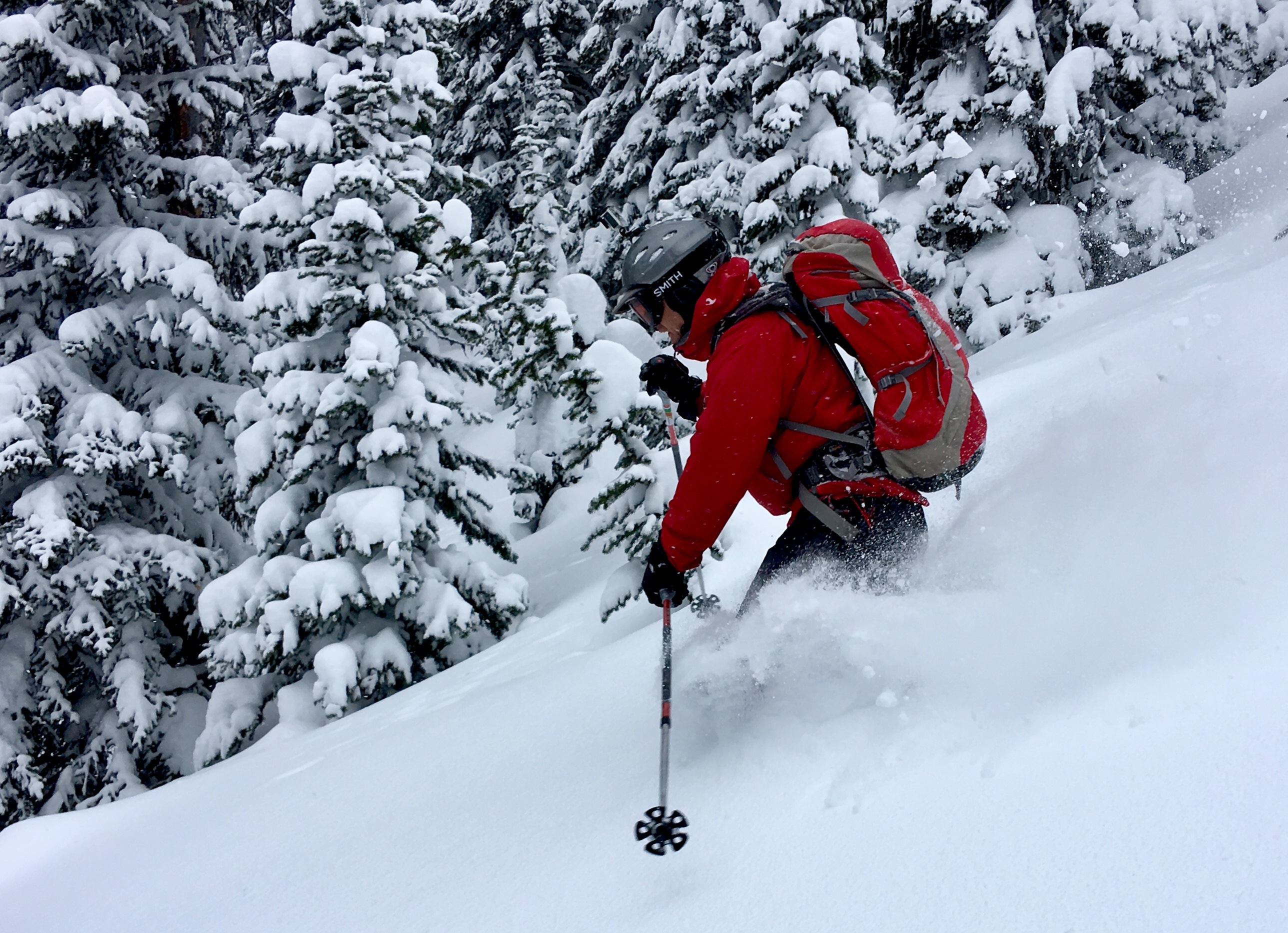
Jim tearing it up on his tele's
On the ferry #roadtrip
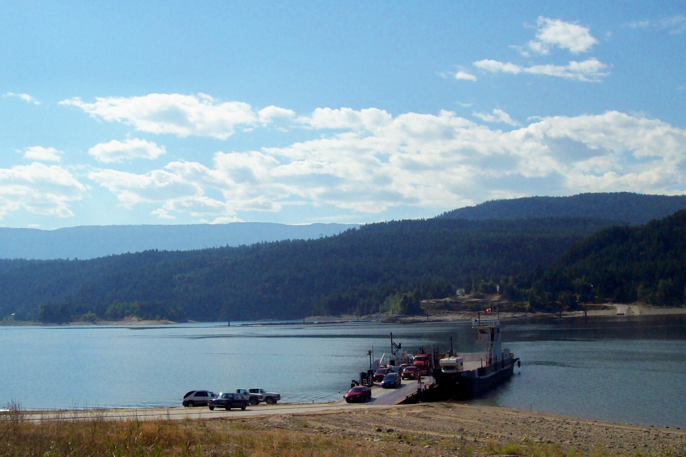
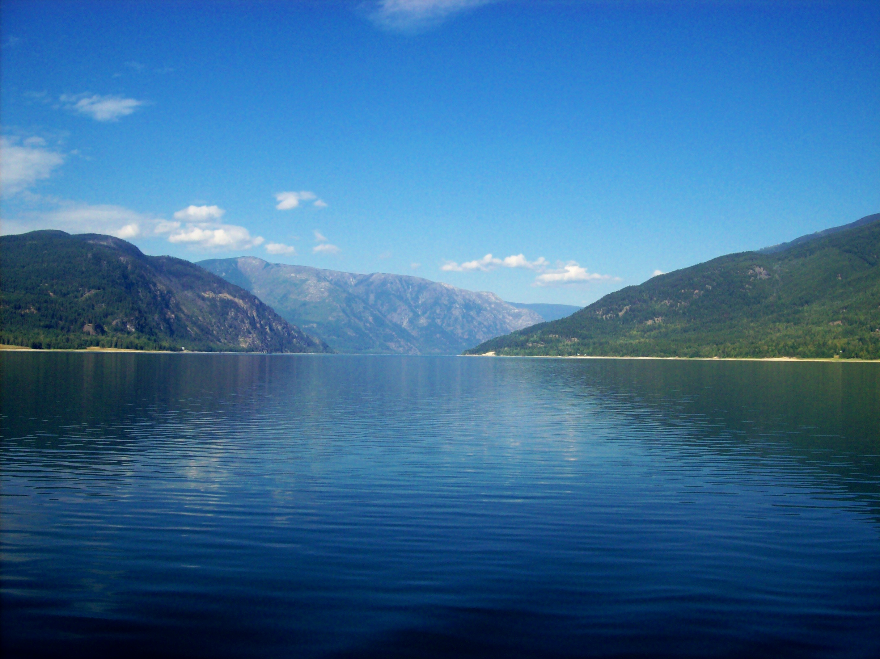
Ferry Across Lower Arrow Lake
Topographic Map of Needles, BC V0G, Canada
Find elevation by address:

Places near Needles, BC V0G, Canada:
Fauquier Lower Rd, Edgewood, BC V0G 1J0, Canada
Fauquier
351 Spruce St
Applegrove
Reveller Road
Arrow Lakes
Mccormack Road
Mccormack Road
Mccormack Road
Mccormack Road
Burton
202 Burton School Rd
202 Burton School Rd
3796 Rock Island Rd
3796 Rock Island Rd
3866 Rock Island Rd
3710 Rock Island Rd
3796 Rock Island Rd
3796 Rock Island Rd
3860 Rock Island Rd
Recent Searches:
- Elevation of Corso Fratelli Cairoli, 35, Macerata MC, Italy
- Elevation of Tallevast Rd, Sarasota, FL, USA
- Elevation of 4th St E, Sonoma, CA, USA
- Elevation of Black Hollow Rd, Pennsdale, PA, USA
- Elevation of Oakland Ave, Williamsport, PA, USA
- Elevation of Pedrógão Grande, Portugal
- Elevation of Klee Dr, Martinsburg, WV, USA
- Elevation of Via Roma, Pieranica CR, Italy
- Elevation of Tavkvetili Mountain, Georgia
- Elevation of Hartfords Bluff Cir, Mt Pleasant, SC, USA