Elevation of Near Nc Hwy, Browns Summit, NC, USA

Location: United States > North Carolina > Guilford County > Monroe > Browns Summit >

Longitude: -79.713879

Latitude: 36.212841

Elevation: 247m / 810feet

Barometric Pressure: 98KPa

Elevation Map:

elevation map of Near Nc Hwy, Browns Summit, NC, USA

Satellite Map:

Satellite map of Near Nc Hwy, Browns Summit, NC, USA
Related Photos:

party two dice game texture canon table four eos rebel one northcarolina greensboro boardgame xsi tablegame greensboronorthcarolina rollthedice
Roll the Dice
square squareformat iphoneography instagramapp uploaded:by=instagram foursquare:venue=4beee6a53686c9b67729256e
Ocean view #NSC
trees lake nature
Southern C's View 8 a.m.
bill and linda's - december
nature greensboro
gso-20091017-002
another view
uploaded:by=flickstagram instagram:photo=37402739907706045114659118
Sunset view from my unit
park lake mill view north greensboro carolina brandt 2008 burr hikes
Blue at Burr Mill Park
nature greensboro pan
gso-20091017-003a
county city 2 6 burlington square 1 nc 5 events northcarolina greensboro carolina 17 12 autos piedmont forums coupons triad classifieds greensboronorthcarolina greensboronc iphoneography
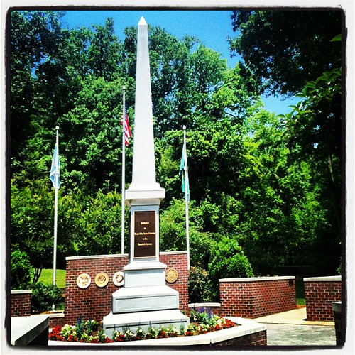
Guilford County Veterans Memorial
view stitched
nature greensboro
gso-20091017-003
usa northcarolina greensboro
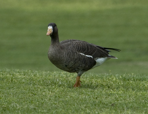
Greater White-fronted Goose 20150425001050
lighting college campus university illumination award led ncat d40 awardofmerit iesna clarknexsen
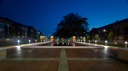
003 NC A&T Memorial
park lake mill view north greensboro carolina brandt 2008 burr hikes
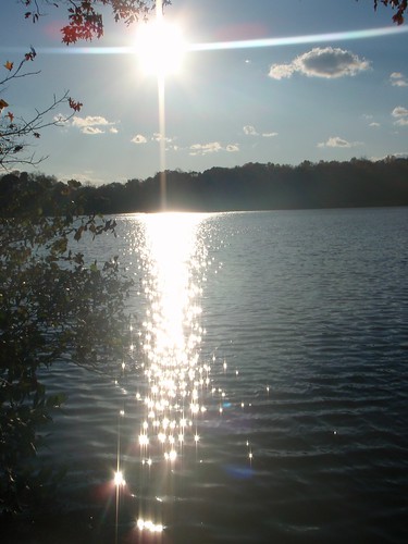
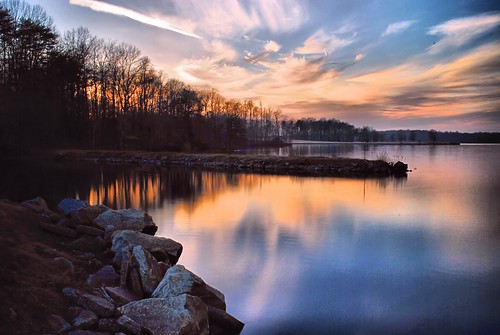
Sunset at Lake Brandt
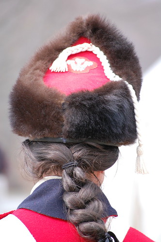
drums fife greensboro british revolutionary busby bayonet princeofwales musket guilfordcourthouse ichdien royalwelchfusiliers
Rear View
me canon eos northcarolina headshot greensboro sideburns canonrebel xsi selfshot greensboronorthcarolina southershooterz71 southernshooterz71 bdz71
Behind the camera
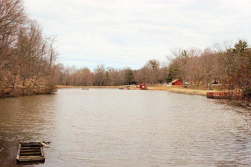
lake pond greensboro countrypark
County Park Lake
Back view
unitedstates northcarolina greensboro
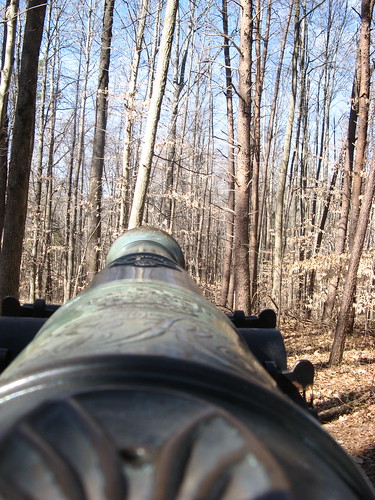
Cannoneer's view
Top view
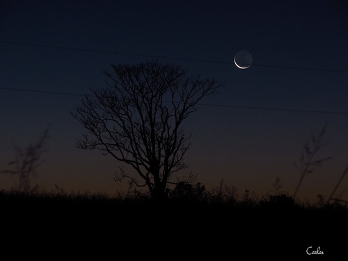
moon tree night dark landscape outdoors northcarolina greensboro
moon tree2 GSO, NC USA
sunset lake water marina landscape day cloudy northcarolina greensboro laketownsend
Lake Townsend Marina
morning november trees lake reflection fall sunrise outdoors pond northcarolina greensboro
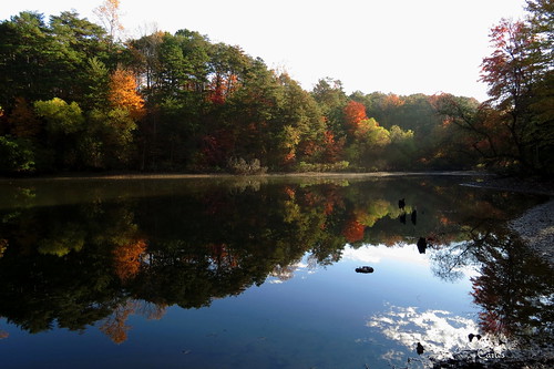
029 Morning at the pond Townsend Trail Greensboro, NC USA
morning winter sunset orange sunrise outdoors evening northcarolina sillouette
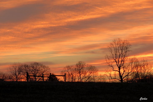
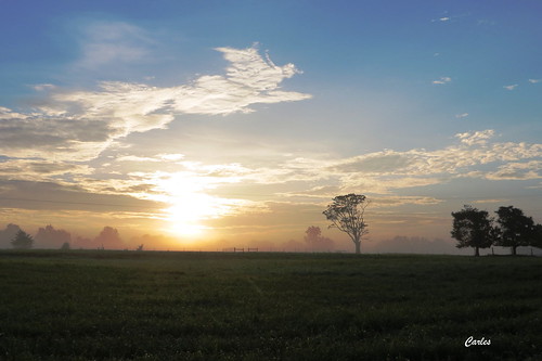
010 Bare tree and fence Brown Summit, NC USA
120 film mediumformat nc kodak northcarolina greensboro pinhole 6x9 lensless zeroimage ektar zero69 lakebrandt
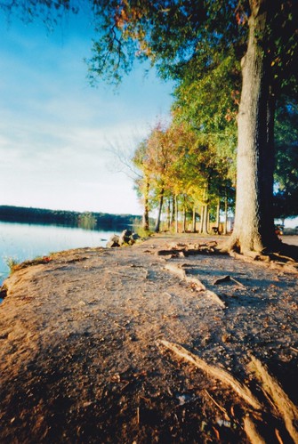
Step closer
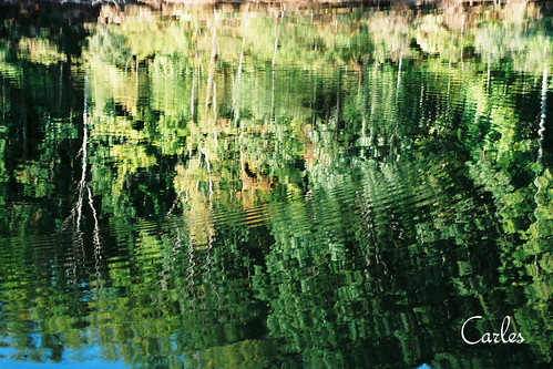
morning trees lake reflection green water 35mm outdoors minolta northcarolina greensboro ripples flim
004 Townsend Lake Townsend Trail Greensboro, NC USA
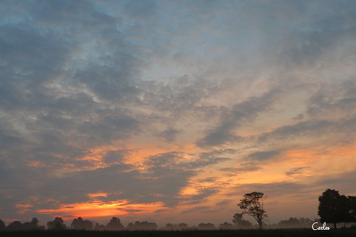
trees sunset orange clouds sunrise landscape outdoors northcarolina serenity
008 Morning painting Greensboro, NC USA
valencia square squareformat iphoneography instagramapp uploaded:by=instagram foursquare:venue=4dd59b718877f1150fbd384a
The run/ride. He's up there somewhere.
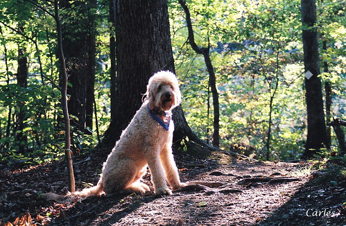
summer dog backlight outdoors woods northcarolina greensboro watershedtrails
016 Samwise Townsend Trail Greensboro, NC USA
morning sunset sky sun mist tree fog sunrise landscape outdoors evening northcarolina
003 Sun on the tree Brown Summit, NC USA
the pond
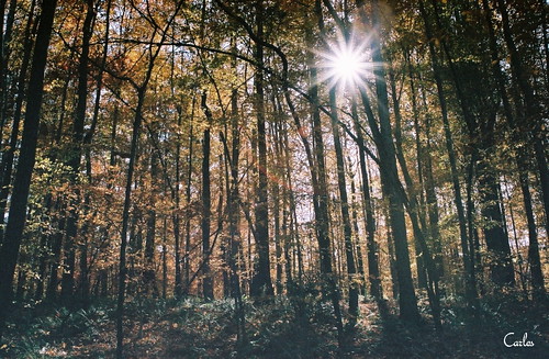
009a Sun thru trees Laurel Bluff Trail Greensboro, NC USA
nature greensboro
gso-20091017-006
nc greensboro
Laurel Bluff Trail
natgreenetrail
Nat Greene Trail 001
park north greensboro carolina 2008 burrmill
Lake Brandt
countrypark uploaded:by=flickrmobile flickriosapp:filter=mammoth mammothfilter
Autumn Bliss
natgreenetrail
Buffet time
square lofi squareformat iphoneography instagramapp uploaded:by=instagram foursquare:venue=4bc5e901bf29c9b6b0e0f82a
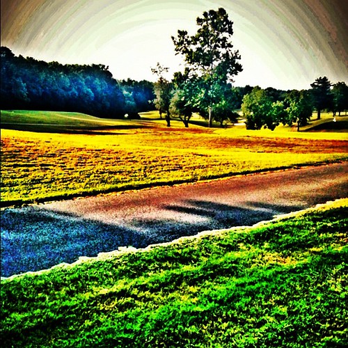
Bryan Park Golf Course
square squareformat 1977 iphoneography instagramapp uploaded:by=instagram foursquare:venue=4bd33db377b29c746c4f9082
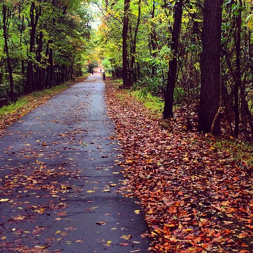
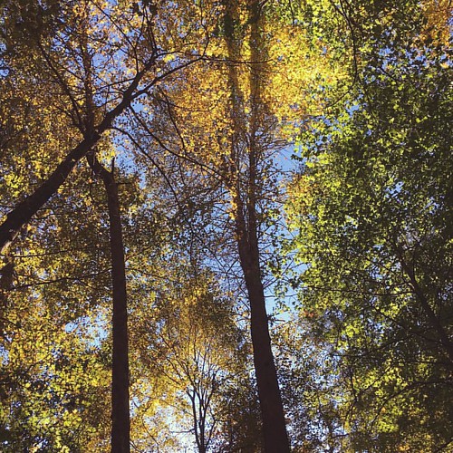
#naturephotography #nature #northcarolina #fall #autumn #iphoneography #trees