Elevation of NE th St, Arcadia, OK, USA
Location: United States > Oklahoma > Oklahoma County > Arcadia >
Longitude: -97.313668
Latitude: 35.7105482
Elevation: 325m / 1066feet
Barometric Pressure: 97KPa
Elevation Map:
Satellite Map:
Related Photos:

Pop's Pop Wall

Big Bottle
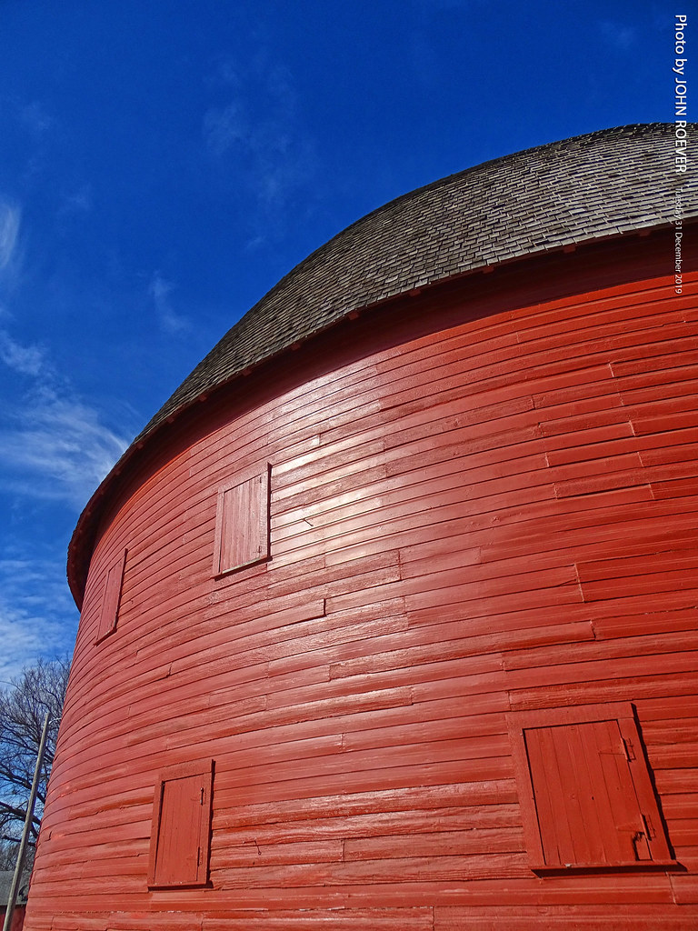
Arcadia Round Barn, 31 Dec 2019
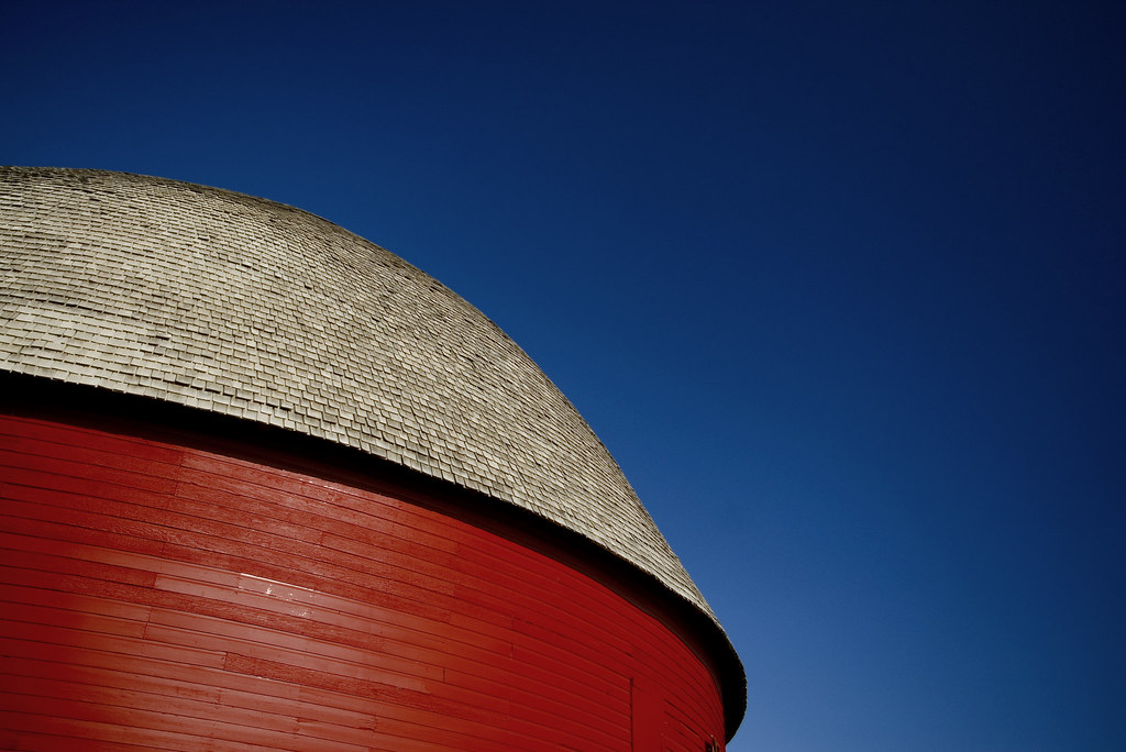
Arcadia Round Barn

got the blues...

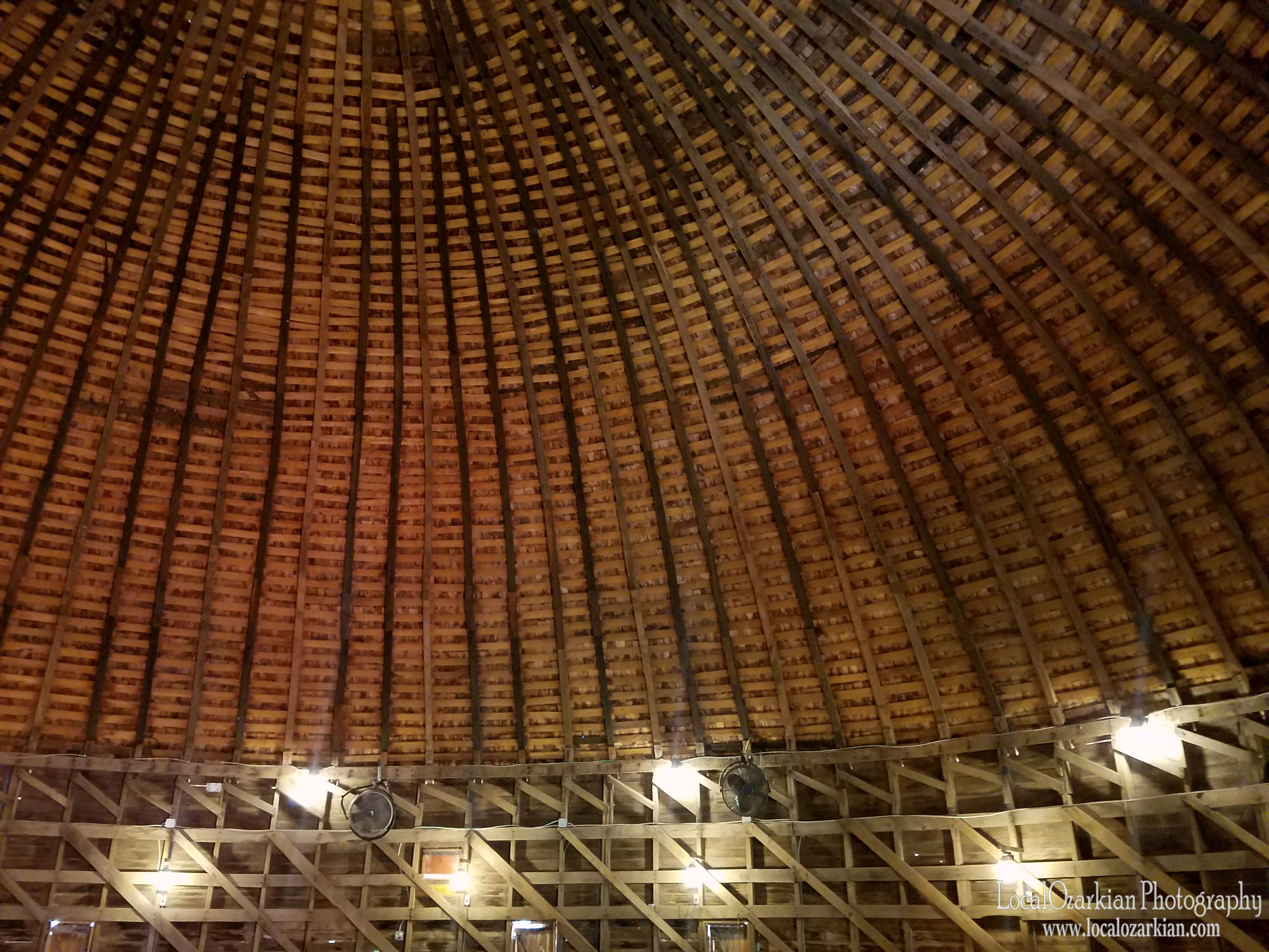
The round barn of Arcadia - inner view

Sweetwater | 9449 Lake Way Run Edmond OK

Arcadia Round Barn

Abandoned General Store w/ Gas Pump in the Ghost Town of Meridian, Oklahoma

Sweetwater | 9449 Lake Way Run Edmond OK

Lake Arcadia Sunrise

Sweetwater | 9449 Lake Way Run Edmond OK

Sweetwater | 9449 Lake Way Run Edmond OK
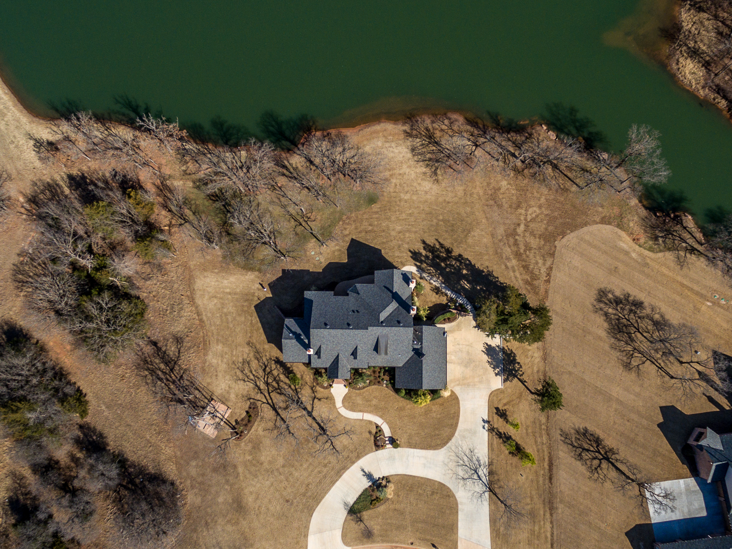
Sweetwater | 9449 Lake Way Run Edmond OK

Sweetwater | 9449 Lake Way Run Edmond OK

Sweetwater | 9449 Lake Way Run Edmond OK

My film

Edmond/Carney Supercell

Shadow Ridge Acreage | 7200 NE 121
In the round
Shadow Ridge Acreage | 7200 NE 121

Garber Sandstone at Arcadia Lake, OK - 20100922CRN

The White Picket Fence

Flowers By the Fence Post

Broken Old Windmill

The Old Home

Bed and Breakfast

Old North_MG_6060

1970's Buick Centurion in Arcadia, Oklahoma

Old Route 66 (Arcadia, Oklahoma)

Lazy_E_Arena (16 of 21)

Lazy_E_Arena (3 of 21)

Takes two to move the train

BNSF Locomotive

The Bronco_MG_6034

Sugery Center

Pops Restaurant_MG_3272
THE COLOR OF OKLAHOMA
Beautiful Old Victorian Home

Intergris Medical Center
Topographic Map of NE th St, Arcadia, OK, USA
Find elevation by address:

Places near NE th St, Arcadia, OK, USA:
North Anderson Road & Waterloo Road
N 5th St, Arcadia, OK, USA
Arcadia
11357 Coyote Run
Thunder Canyon Court
Oklahoma County
Hayes Field Services
12100 N Anderson Rd
12100 N Anderson Rd
N Triple X Rd, Luther, OK, USA
S Sooner Rd, Guthrie, OK, USA
9613 N Hiwassee Rd
Northeast Oklahoma City
Jones
380 E Camp Dr
N Smythe Ave, Edmond, OK, USA
N Sooner Rd, Oklahoma City, OK, USA
Canyon Road
527 Benton Rd
E 2nd St, Edmond, OK, USA
Recent Searches:
- Elevation of Corso Fratelli Cairoli, 35, Macerata MC, Italy
- Elevation of Tallevast Rd, Sarasota, FL, USA
- Elevation of 4th St E, Sonoma, CA, USA
- Elevation of Black Hollow Rd, Pennsdale, PA, USA
- Elevation of Oakland Ave, Williamsport, PA, USA
- Elevation of Pedrógão Grande, Portugal
- Elevation of Klee Dr, Martinsburg, WV, USA
- Elevation of Via Roma, Pieranica CR, Italy
- Elevation of Tavkvetili Mountain, Georgia
- Elevation of Hartfords Bluff Cir, Mt Pleasant, SC, USA