Elevation of NE th Cir, Yacolt, WA, USA
Location: United States > Washington > Clark County > Yacolt >
Longitude: -122.34091
Latitude: 45.776823
Elevation: 273m / 896feet
Barometric Pressure: 98KPa
Elevation Map:
Satellite Map:
Related Photos:
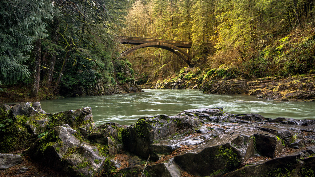
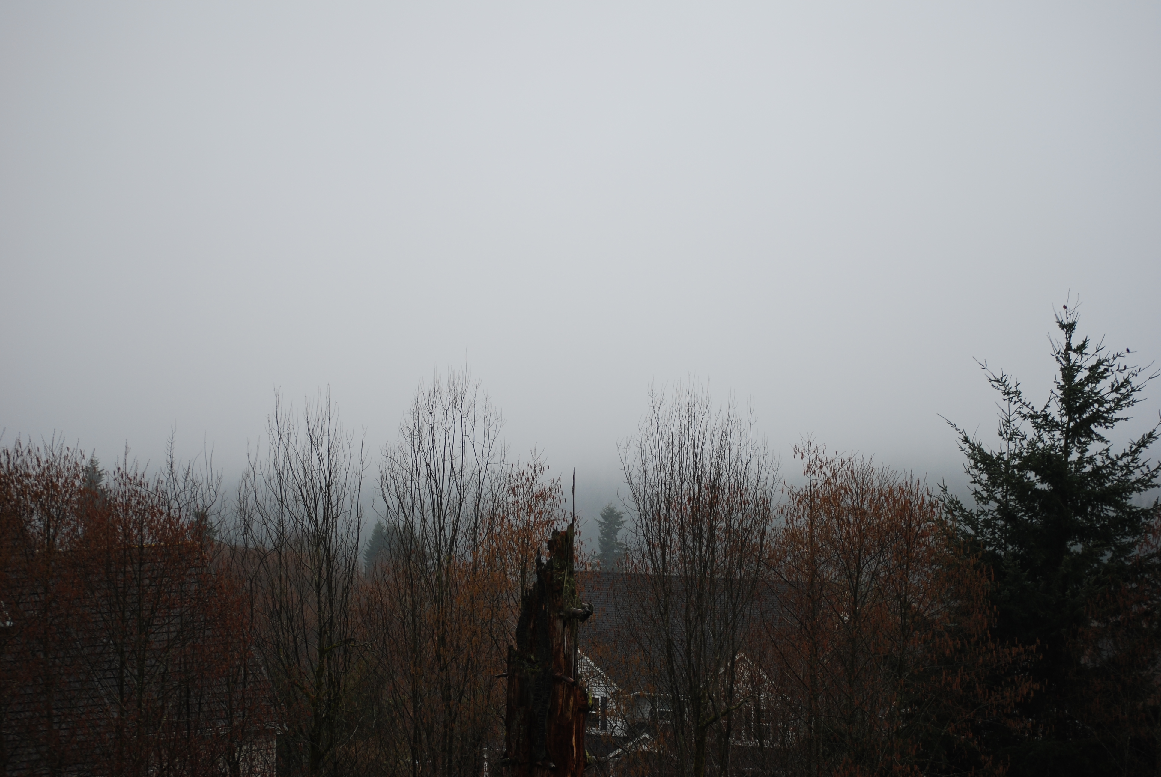
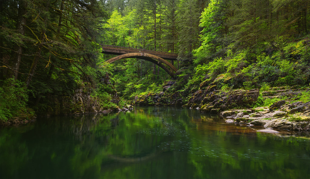
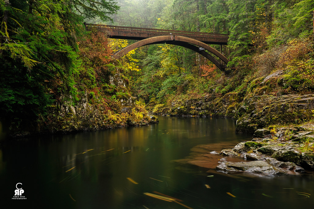
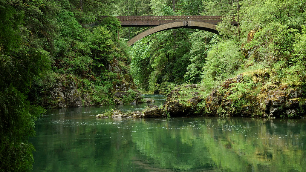
Moulton Falls Bridge
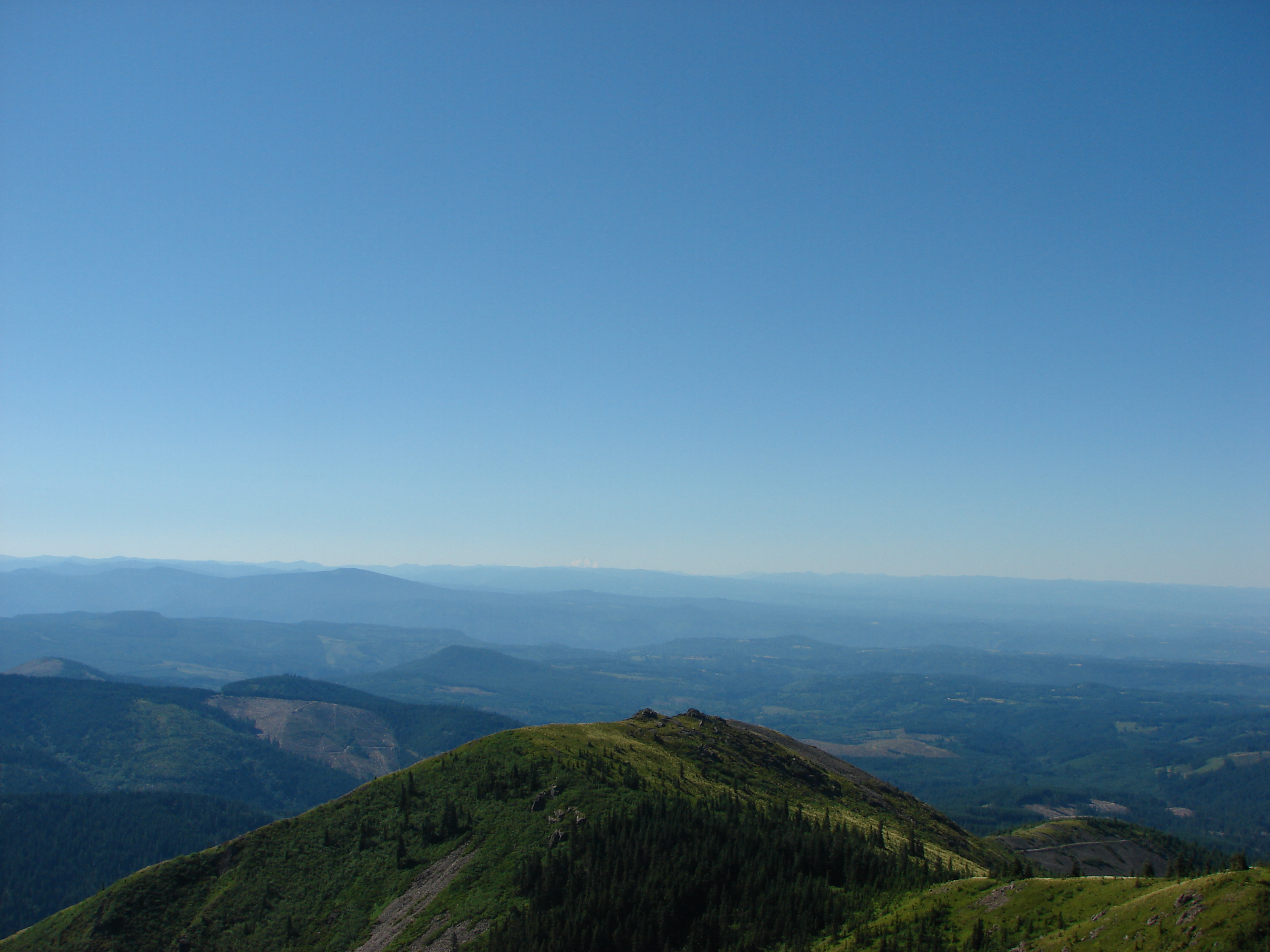
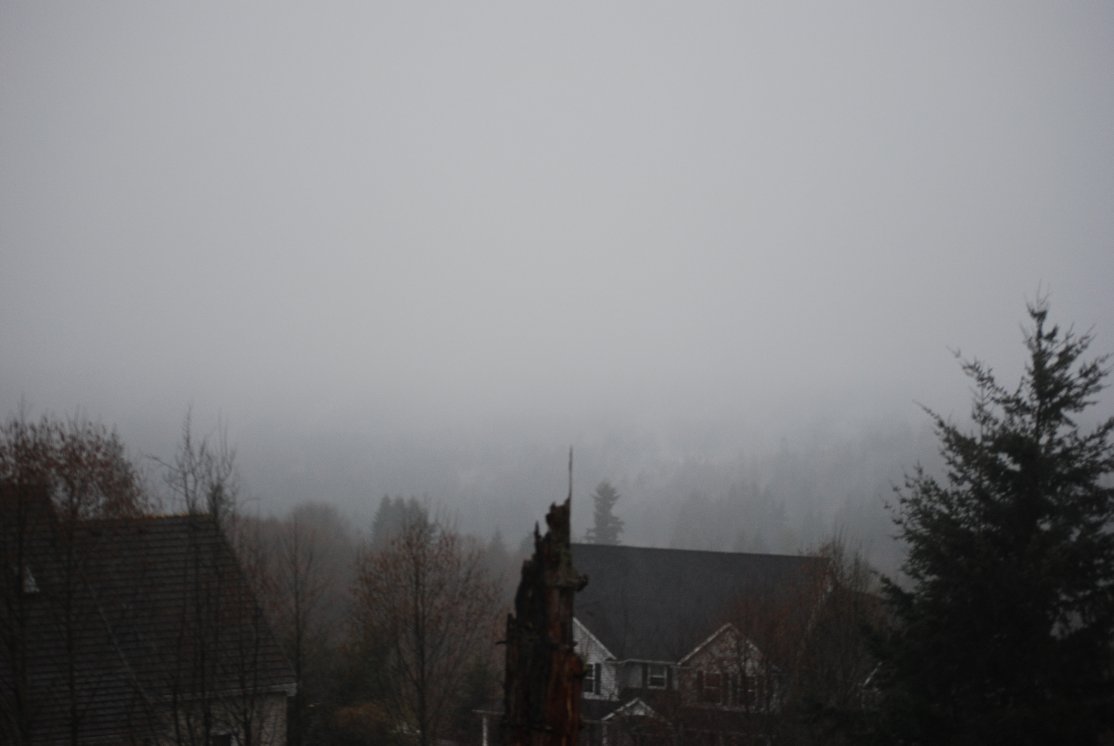
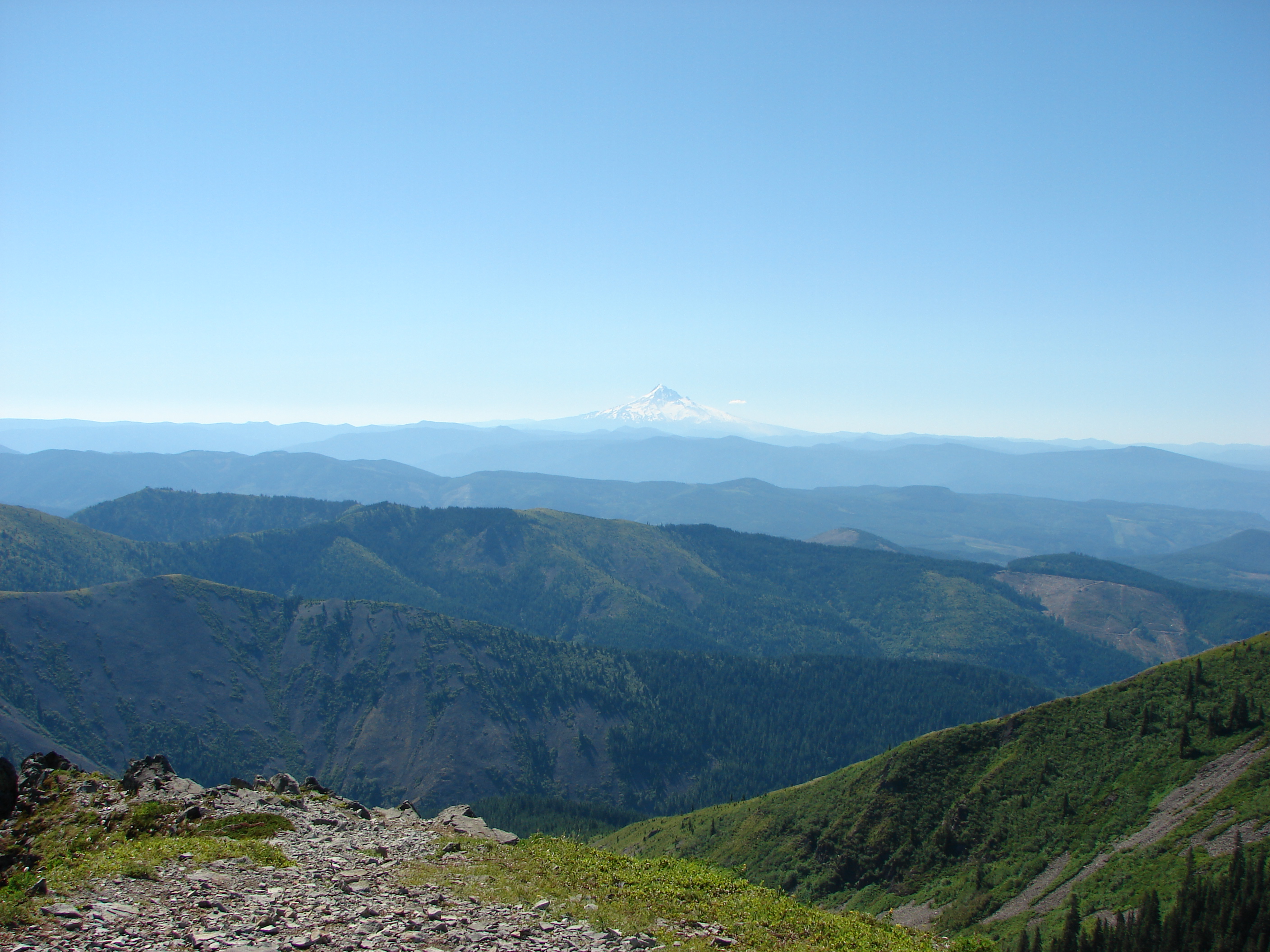
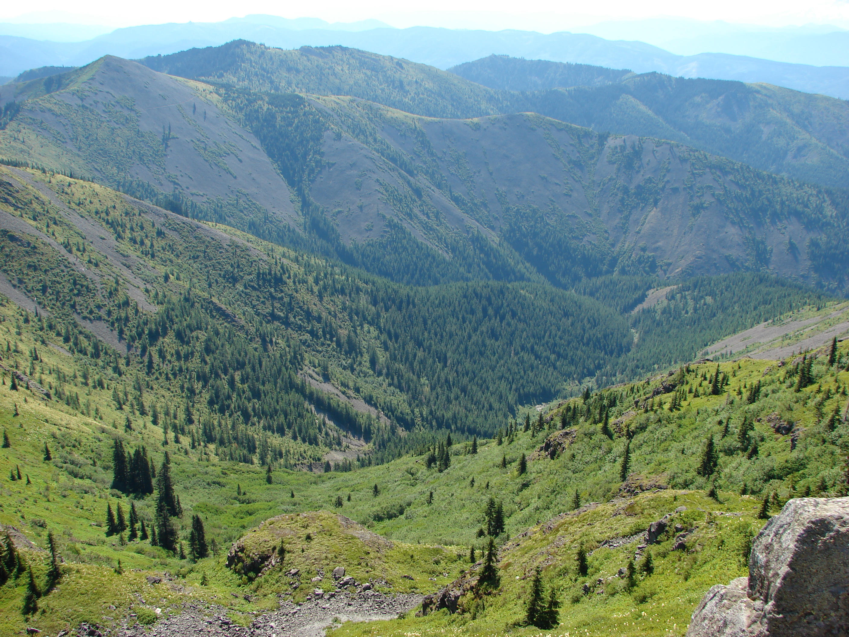
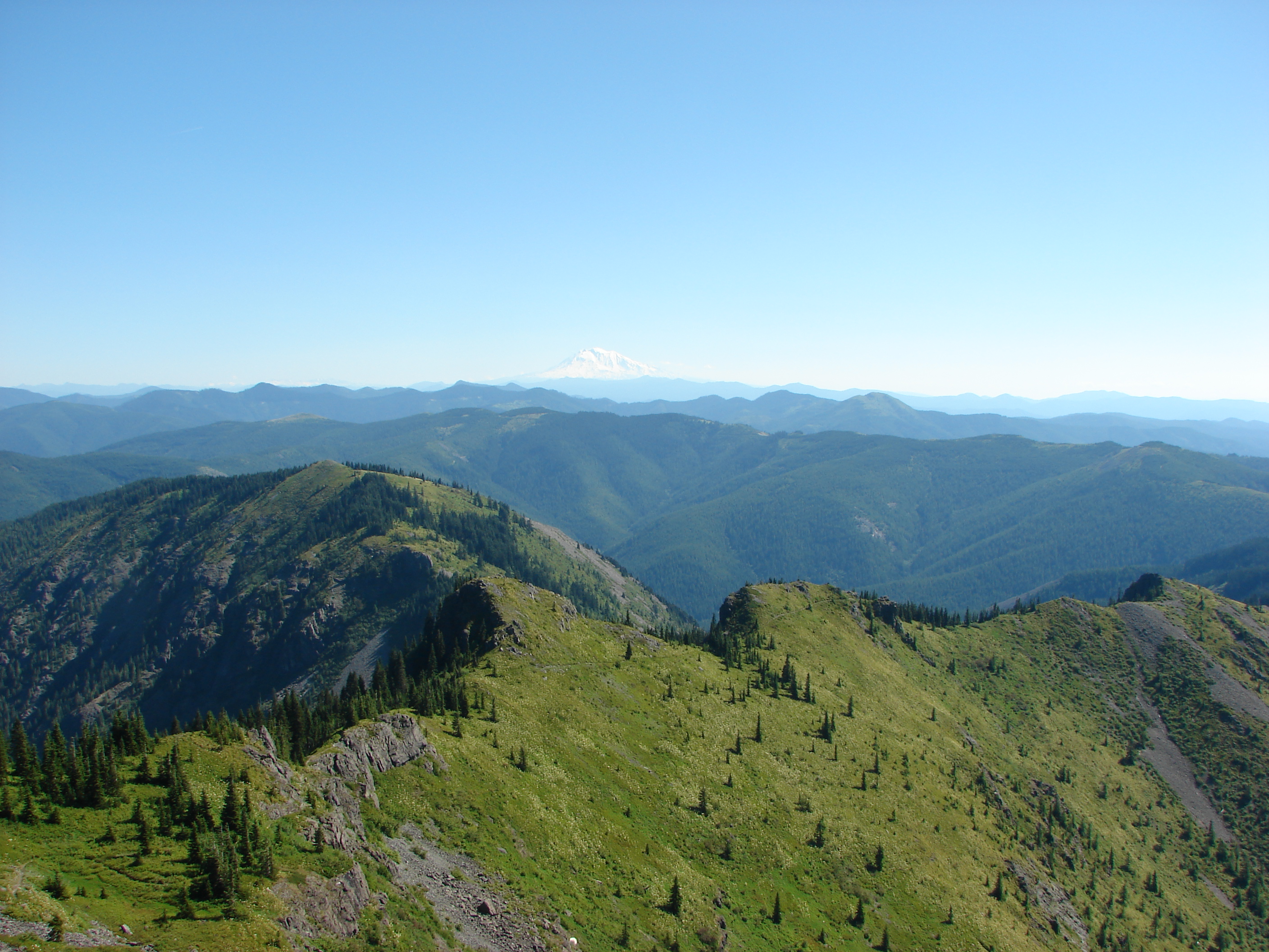
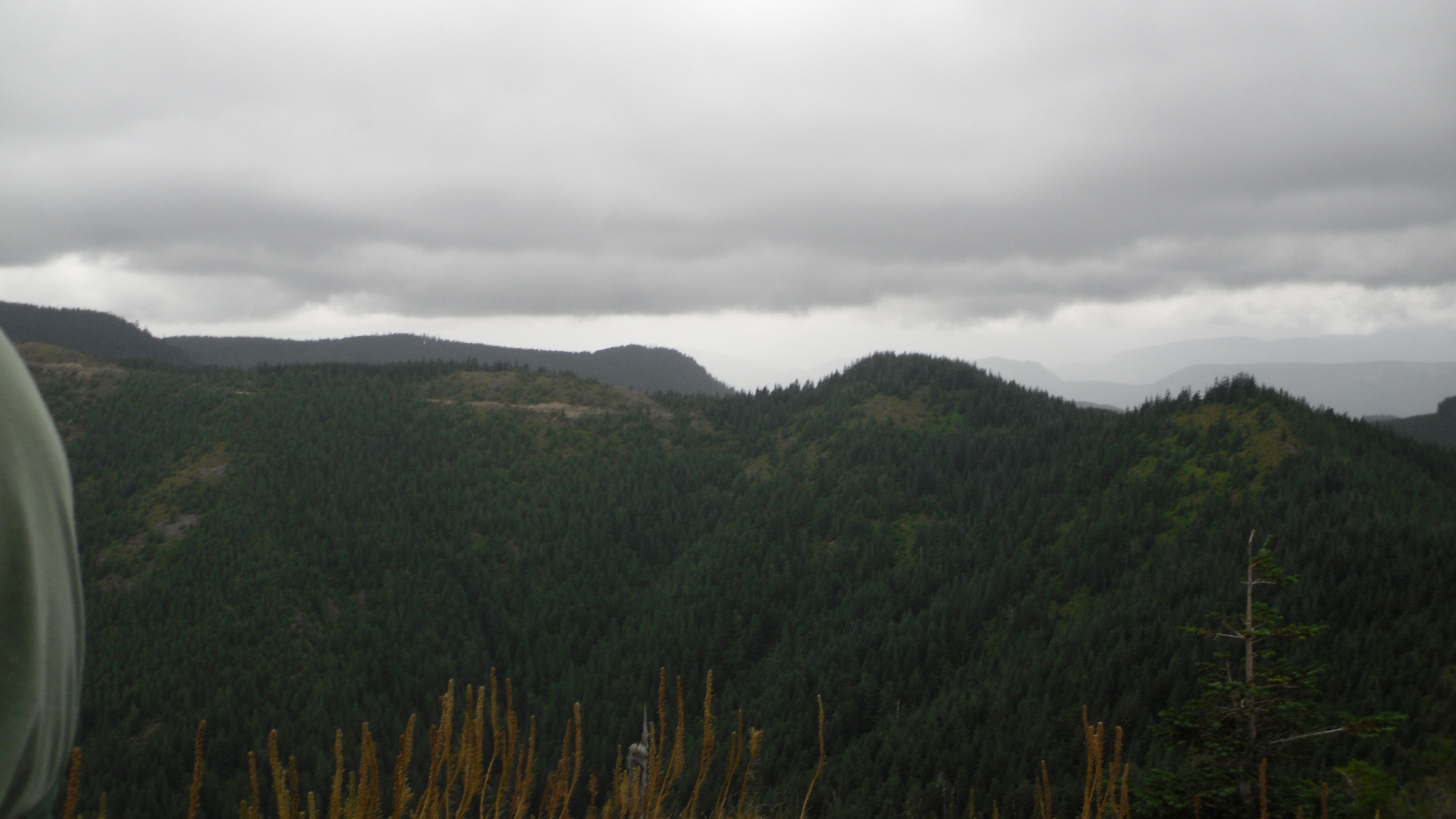
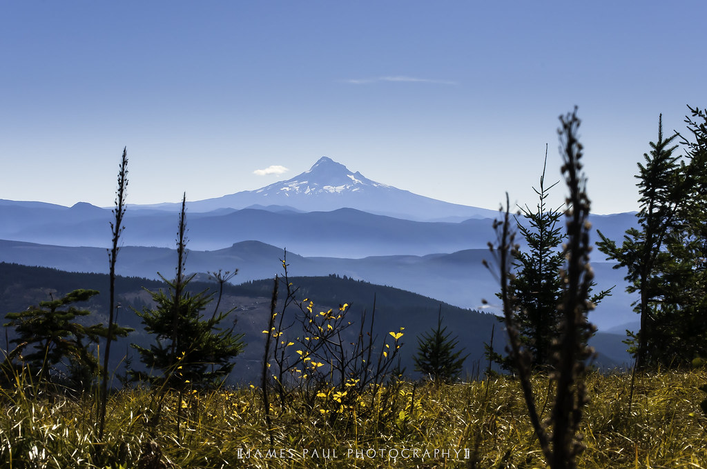
View from Silver Star Mountain
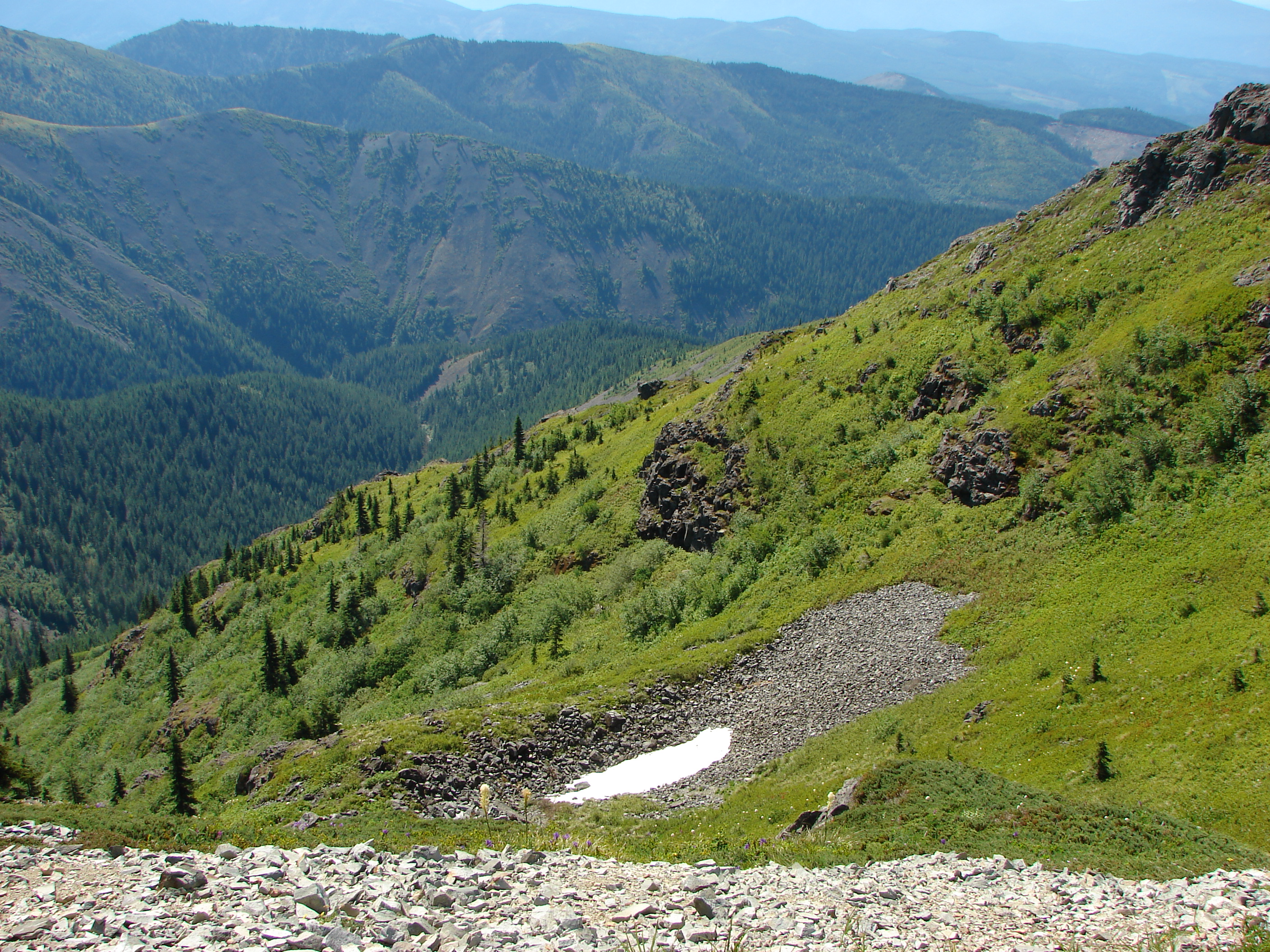
Just a really nice stretch of trail, with sweeping views to the south, on the way up Silver Star.
5/365 - Jan 6th, 2009 - Portland View
86/365 - Mar 28th, 2009 - Portland View

Looking north and south, a 180°-plus view, from our first break spot.
90/365 - April 1st,2009 - Portland View

View from Ed' Trail
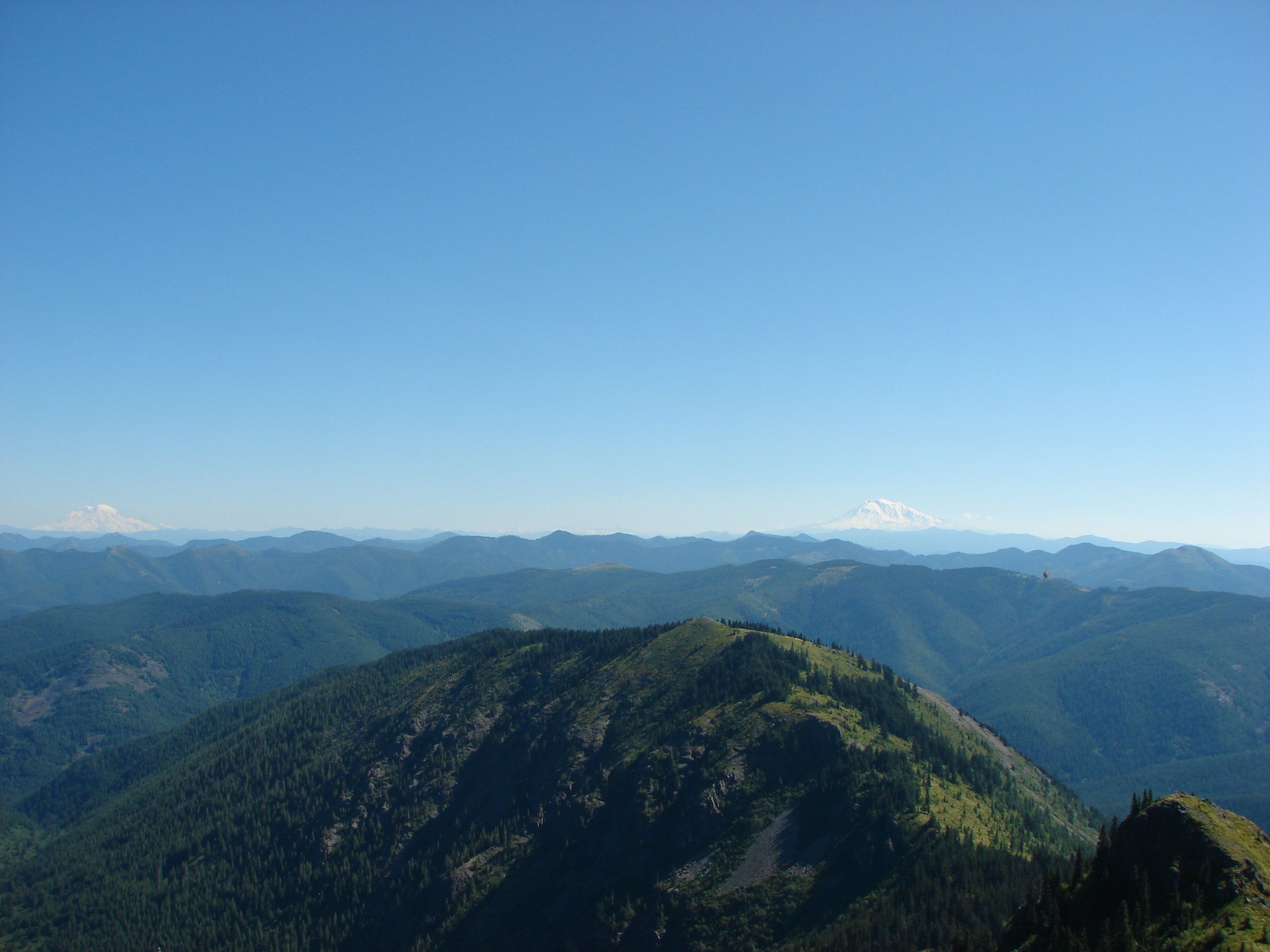
View from Silver Star Mountain
View from Silver Star Mountain
View from Silver Star Mountain
View of Portland from Home
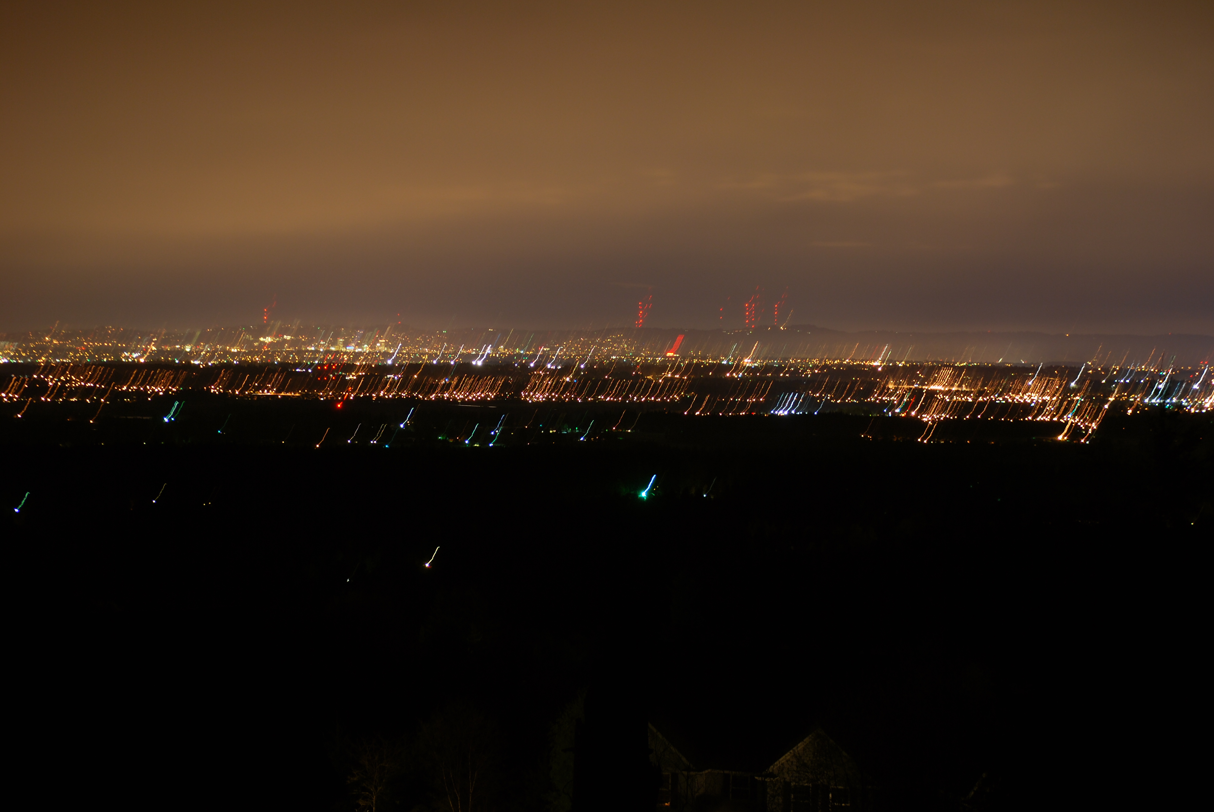
118/365 - Apr 29th, 2009 - Portland View
Battle Ground Lake.
View from Silver Star Mountain
View from Silver Star Mountain
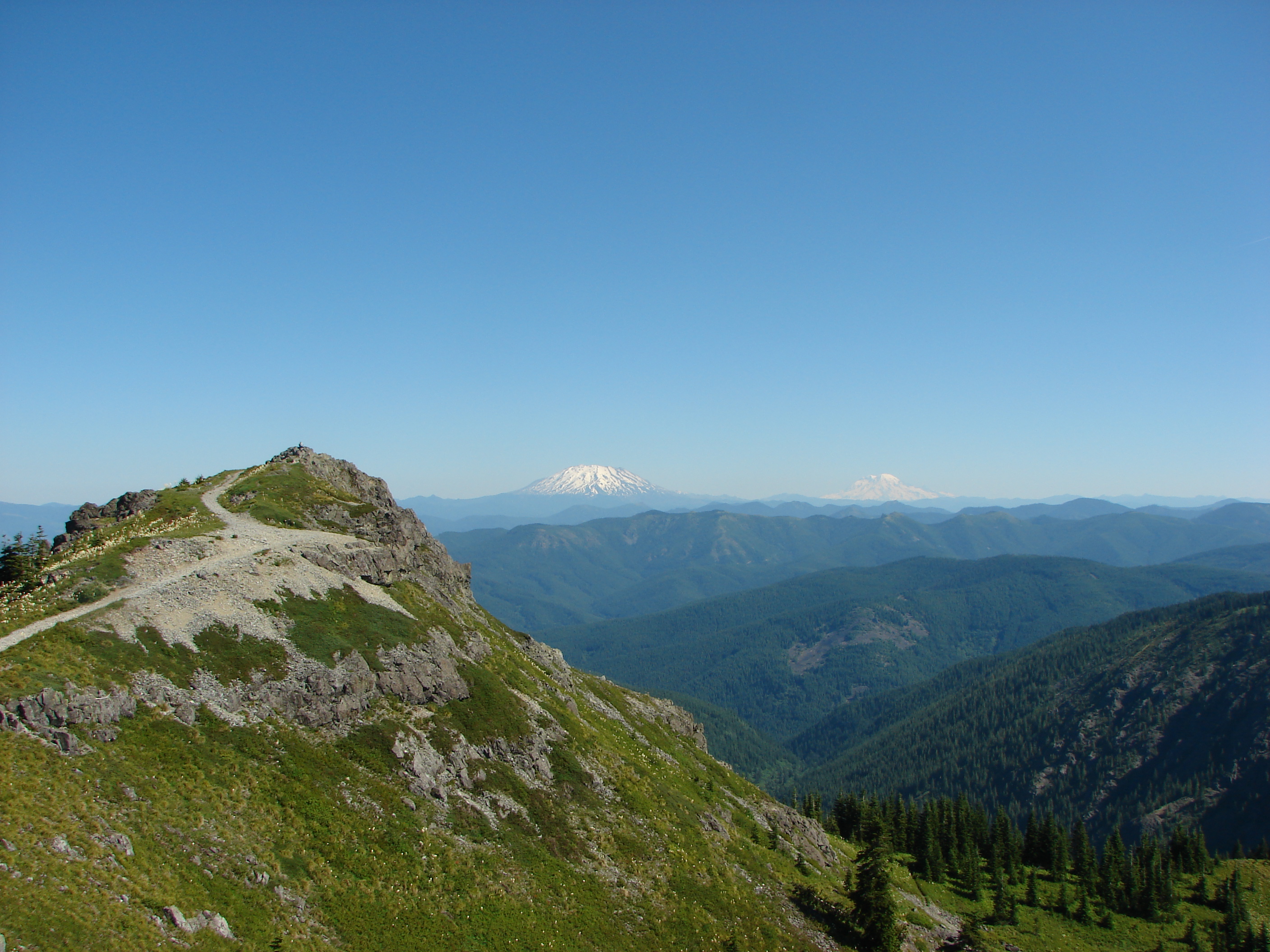
View from Silver Star Mountain

85/365 - Mar 27th, 2009 - Portland View
4/365 - Jan 5th, 2009 - Portland View
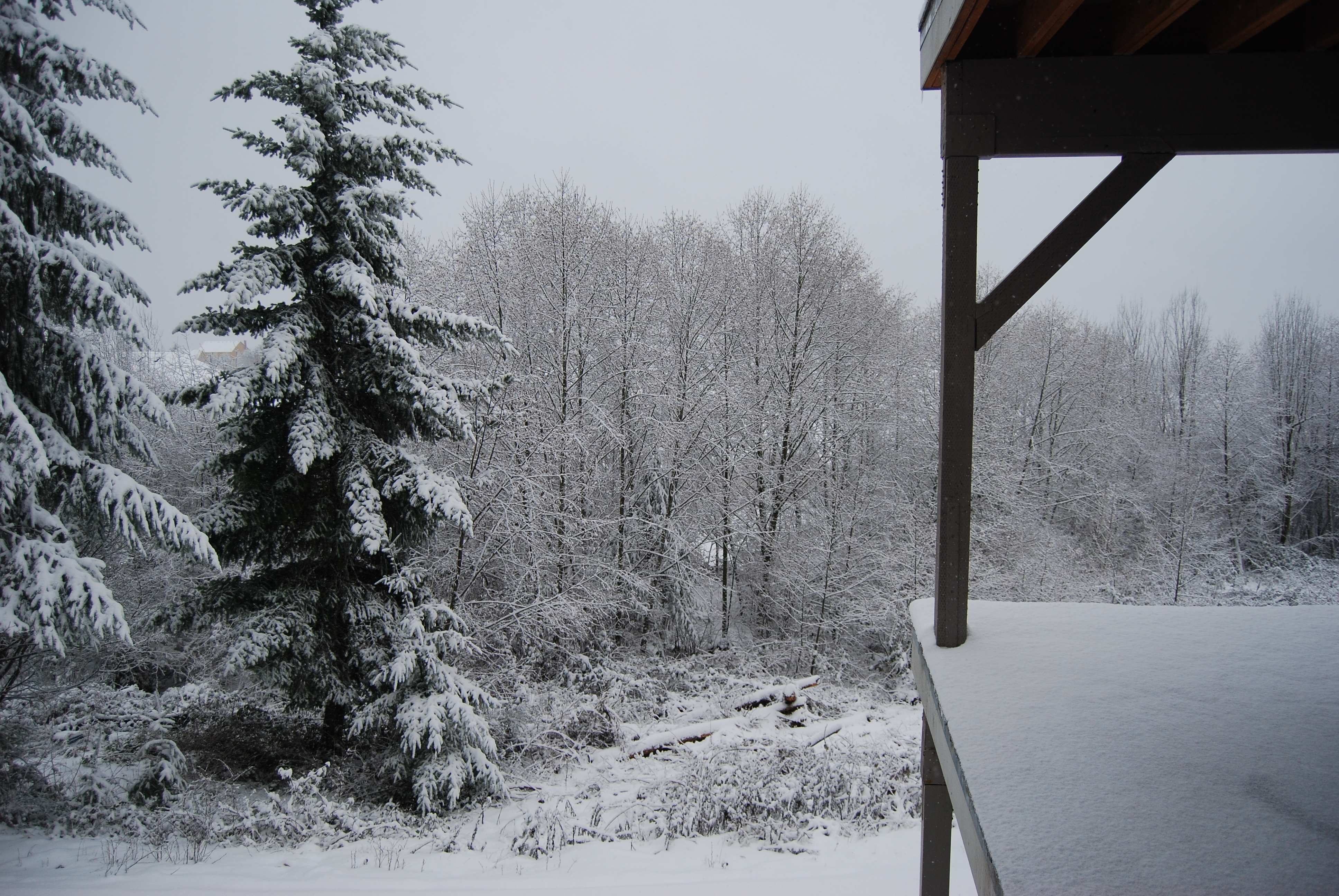
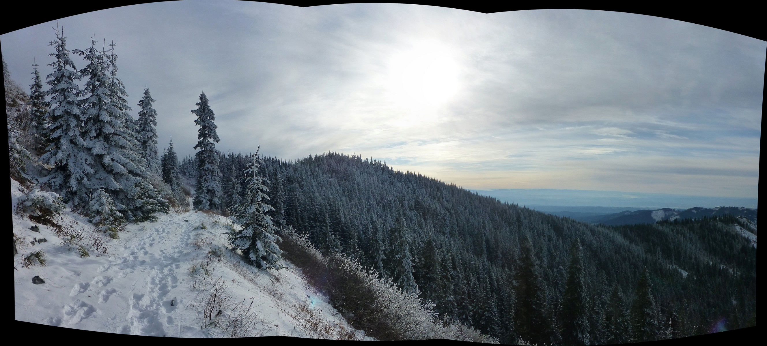
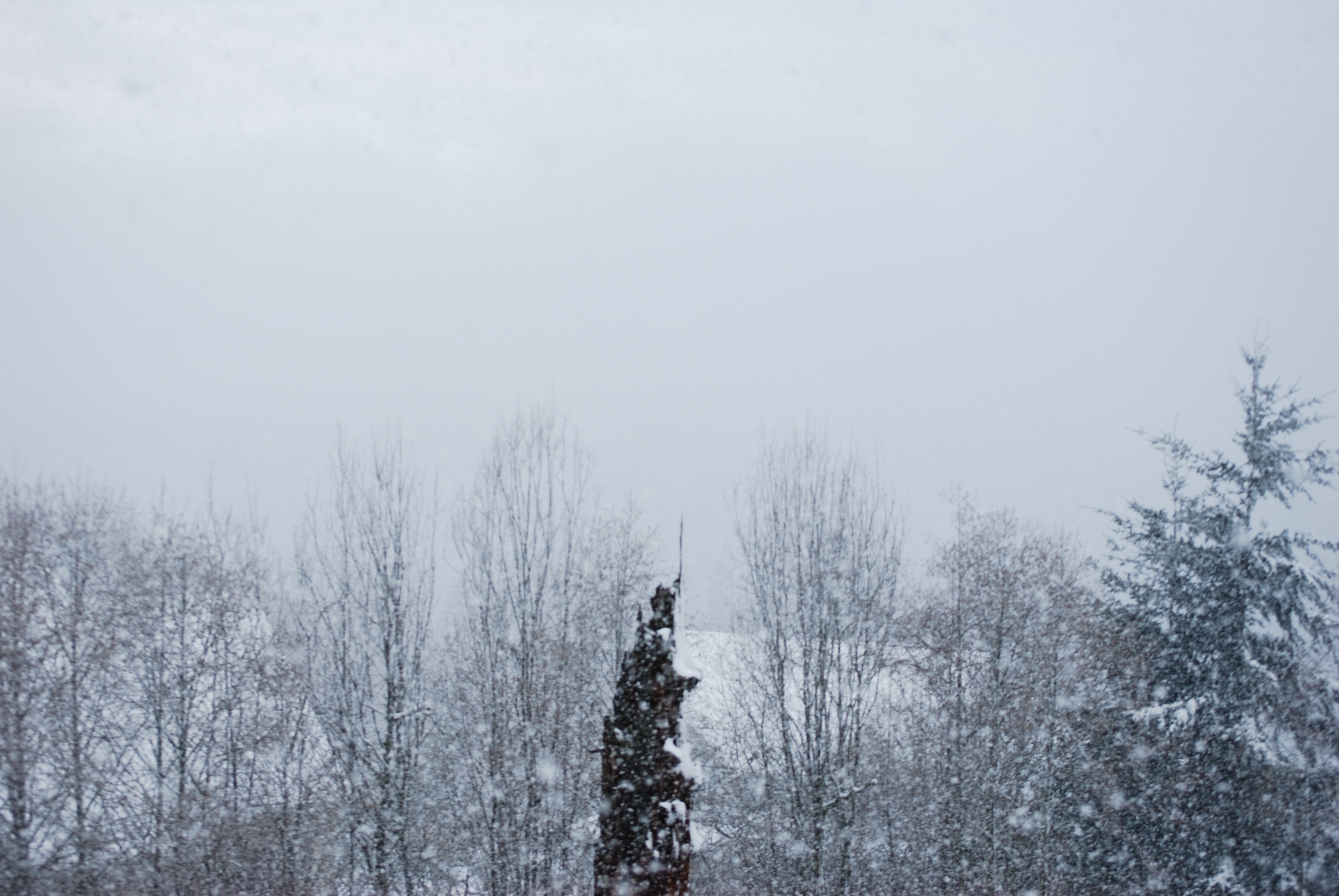
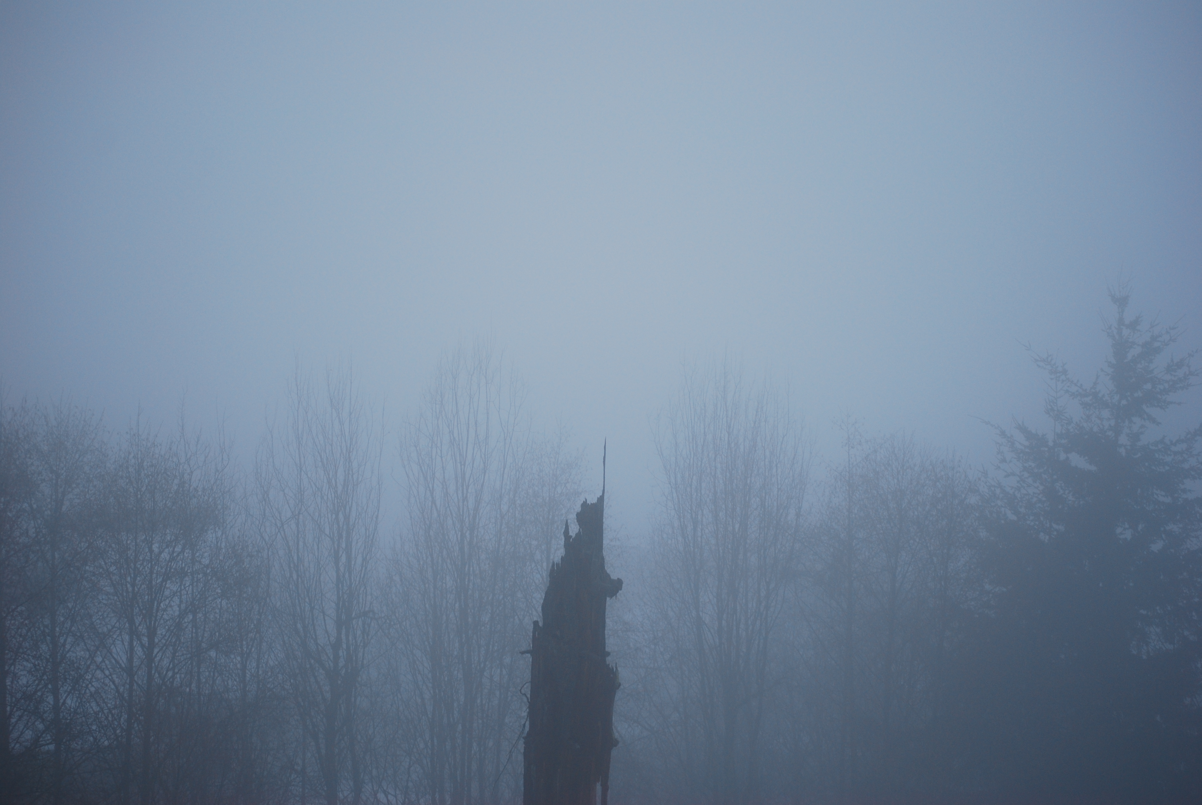
Snowy view
View 6
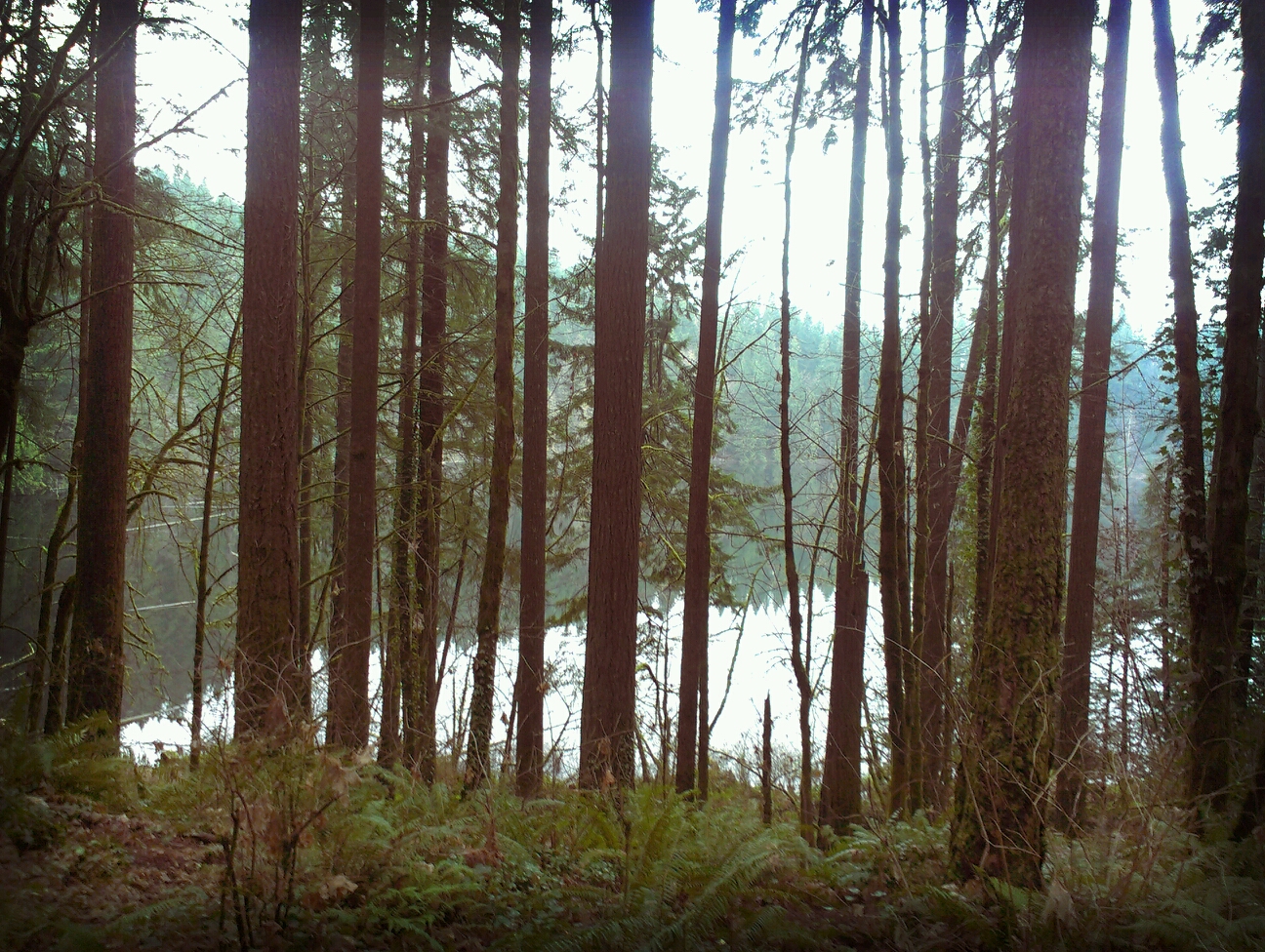
Through the looking glass
Moulton Falls Regional Park (Yacolt, WA)
Writing With Light
Drizzle Delight (Explored)
... new growth forest [Try L]

Lovely #scenery on our day trip to #Washington today. Q loved splashing around in the #water and finding #waterfalls . #summer #summertime

Before the Falls
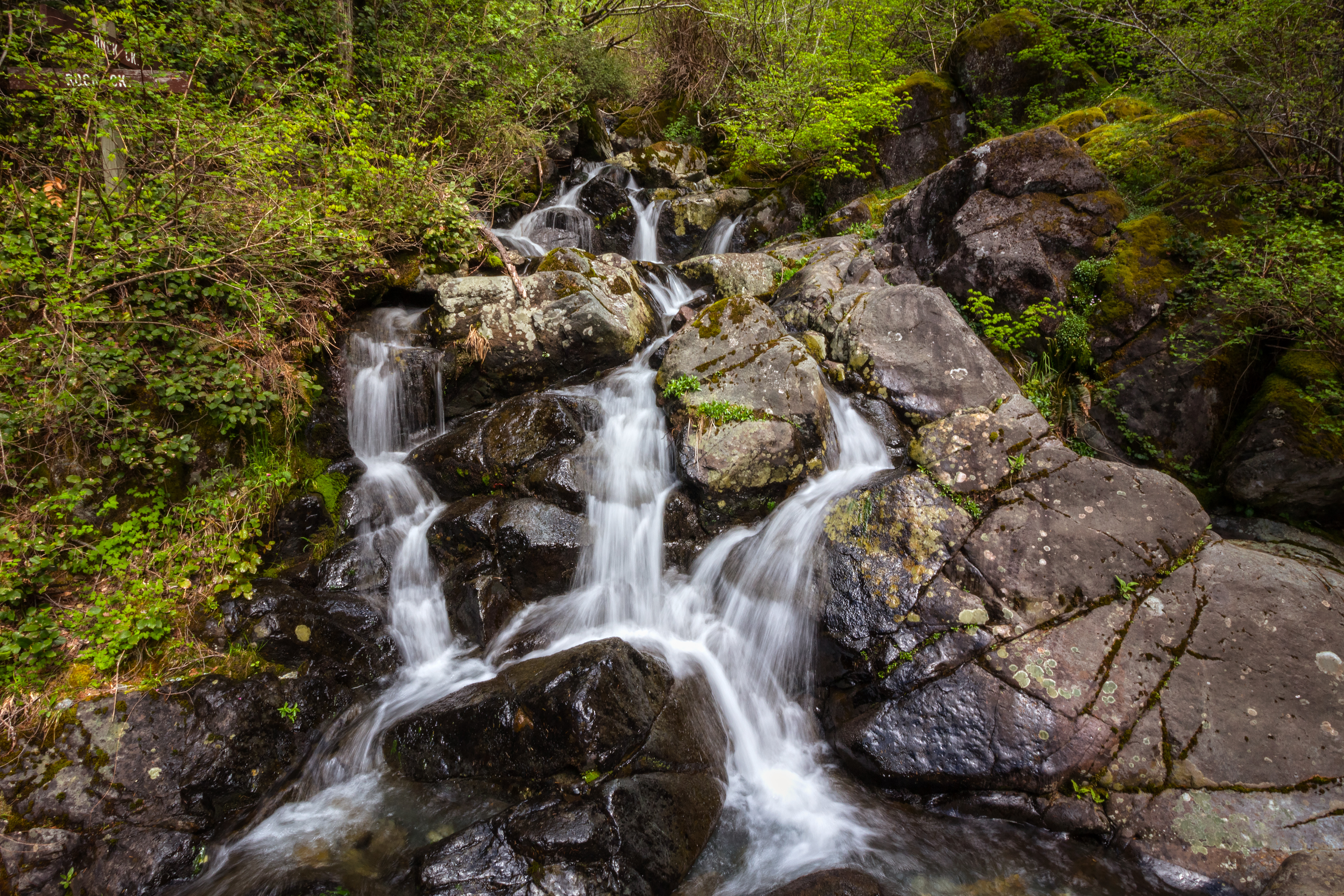
Rock Creek Falls
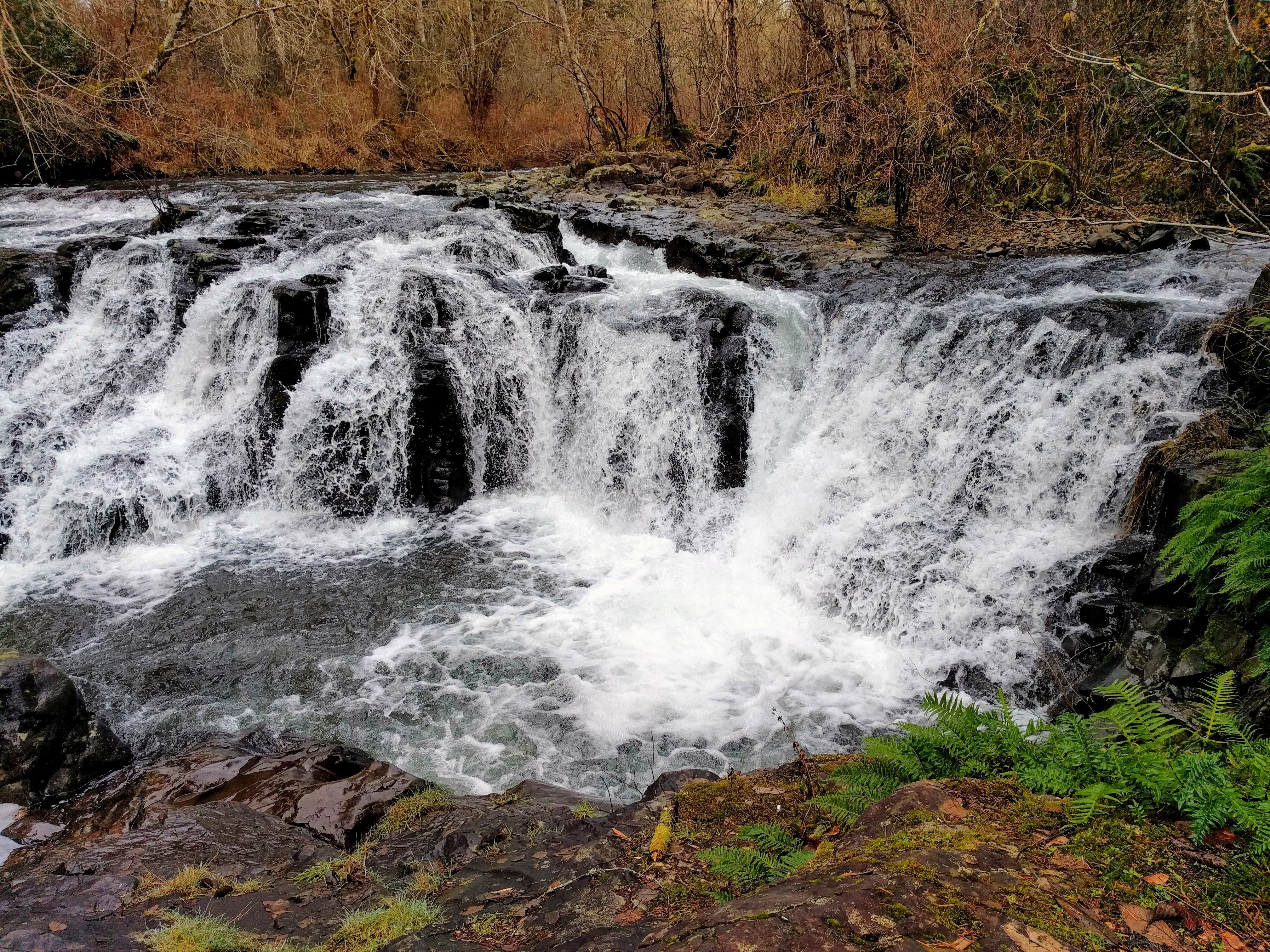
Moulton falls
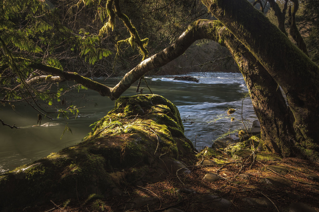
Hidden Falls
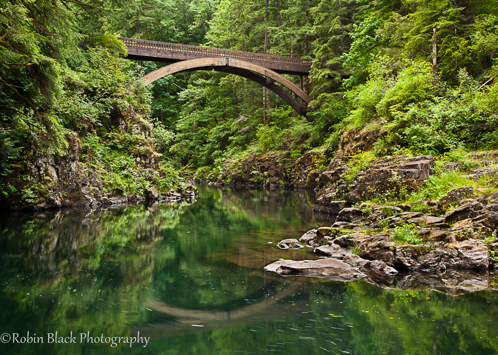
Footbridge, Moulton Falls State Park (WA)
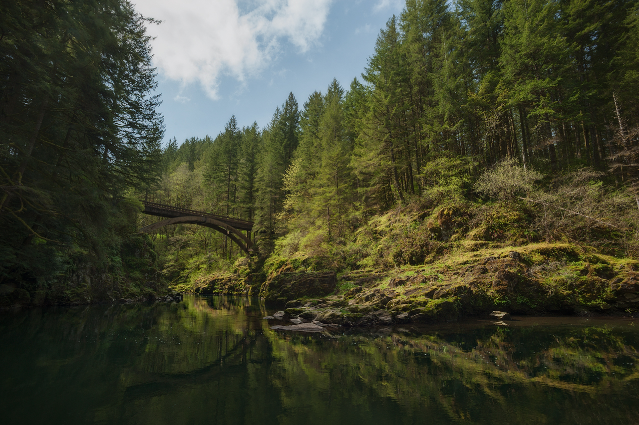
Moulton Falls bridge

Moulton Falls
Majestic Hood

Tarabell Trail
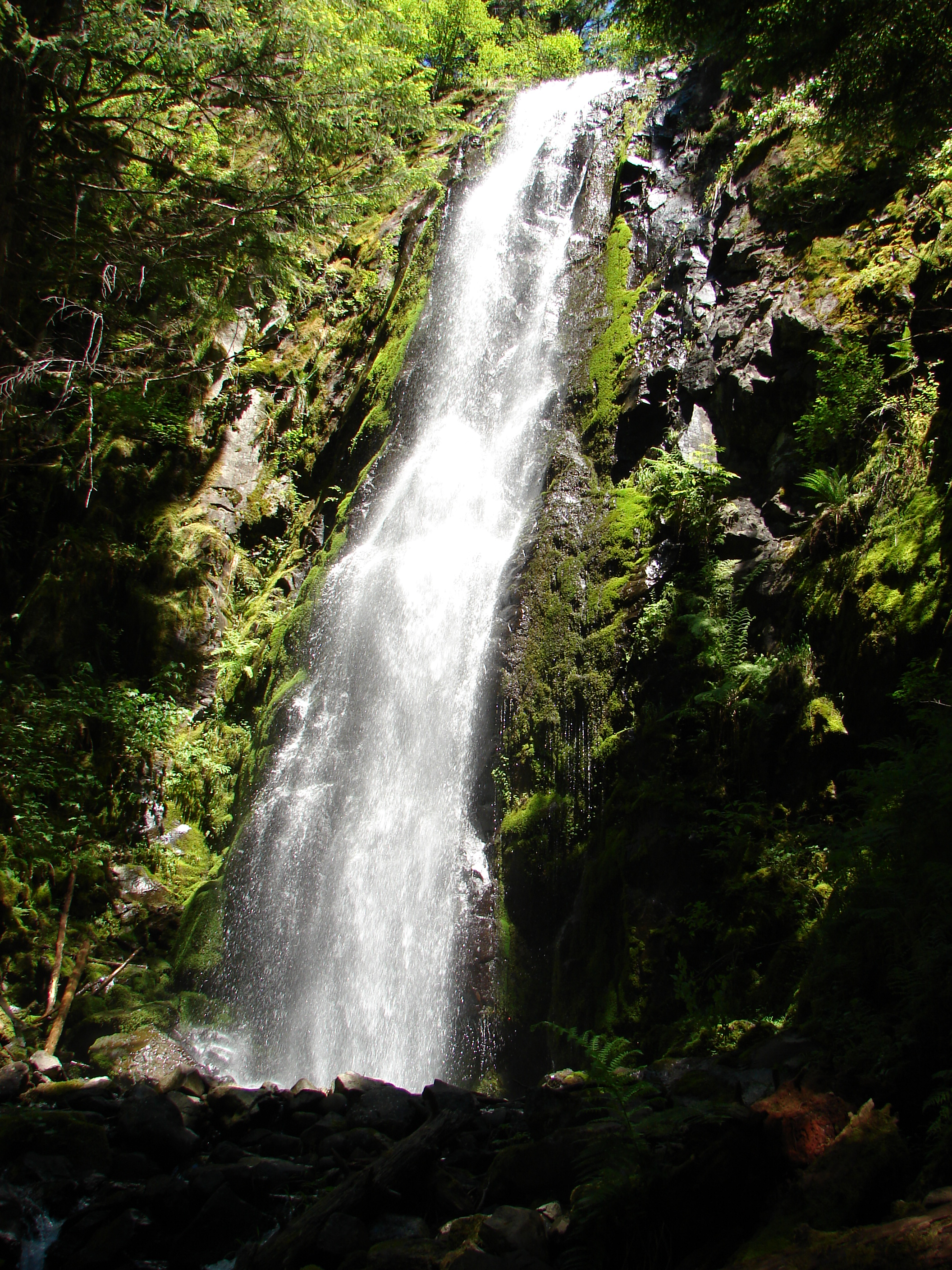
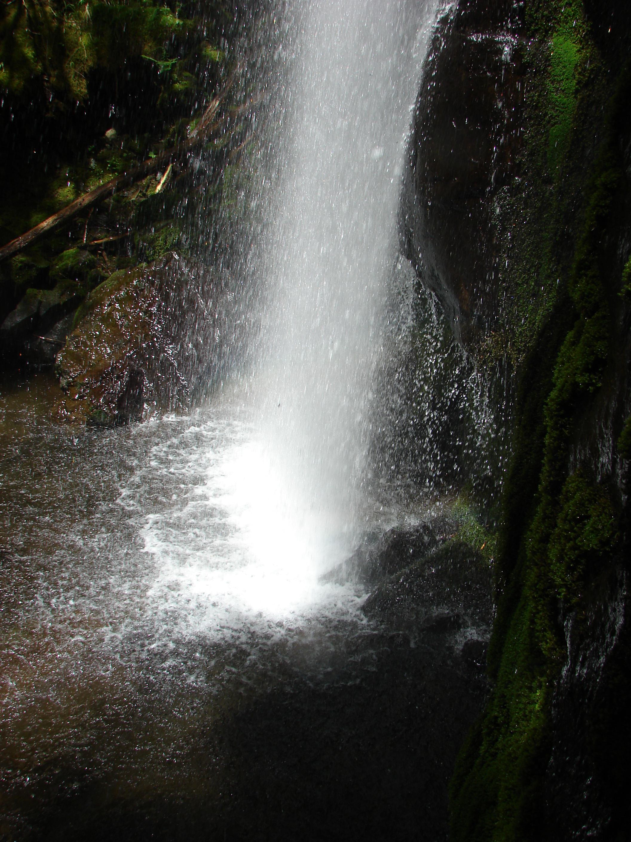
Hidden Falls

The capricious nature of light
Bridge Over Lewis River
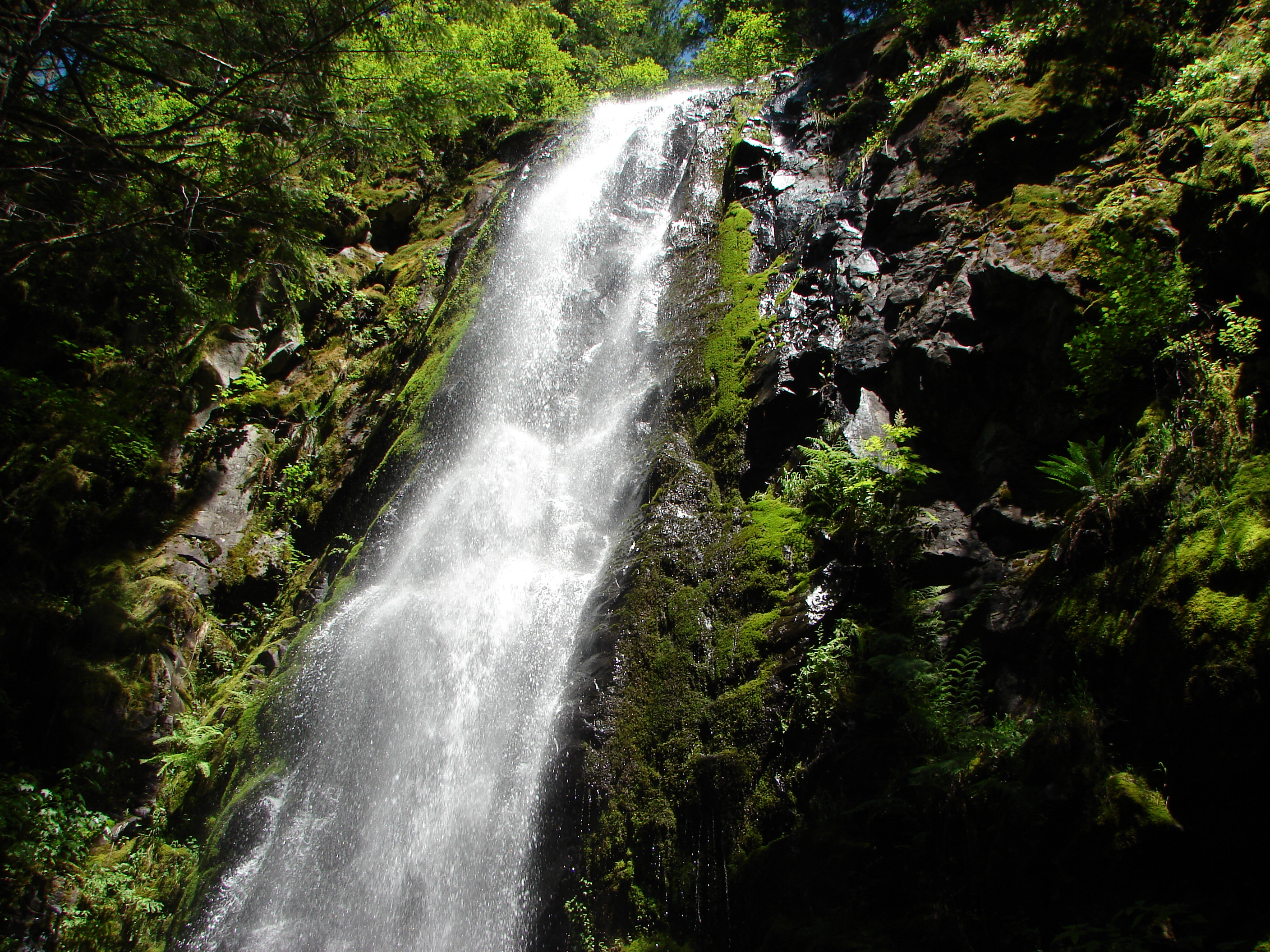
Hidden Falls
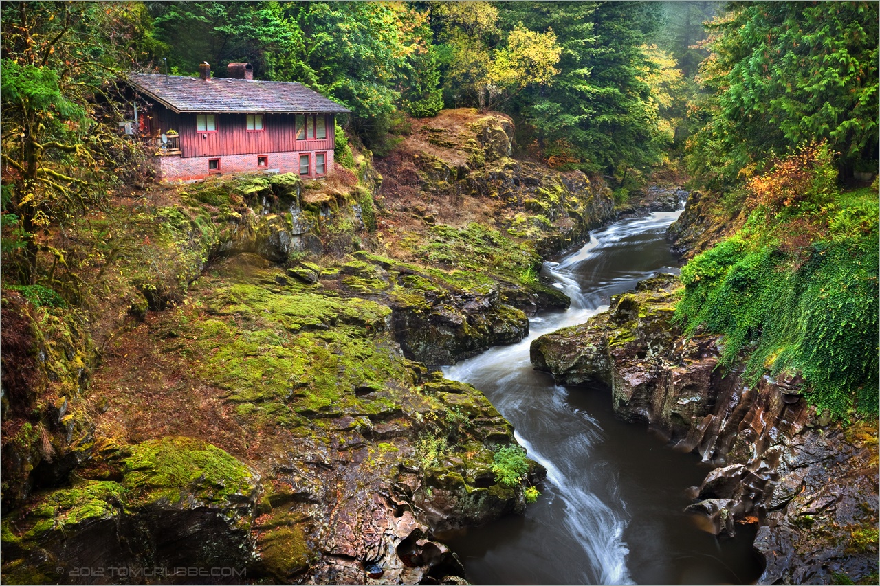
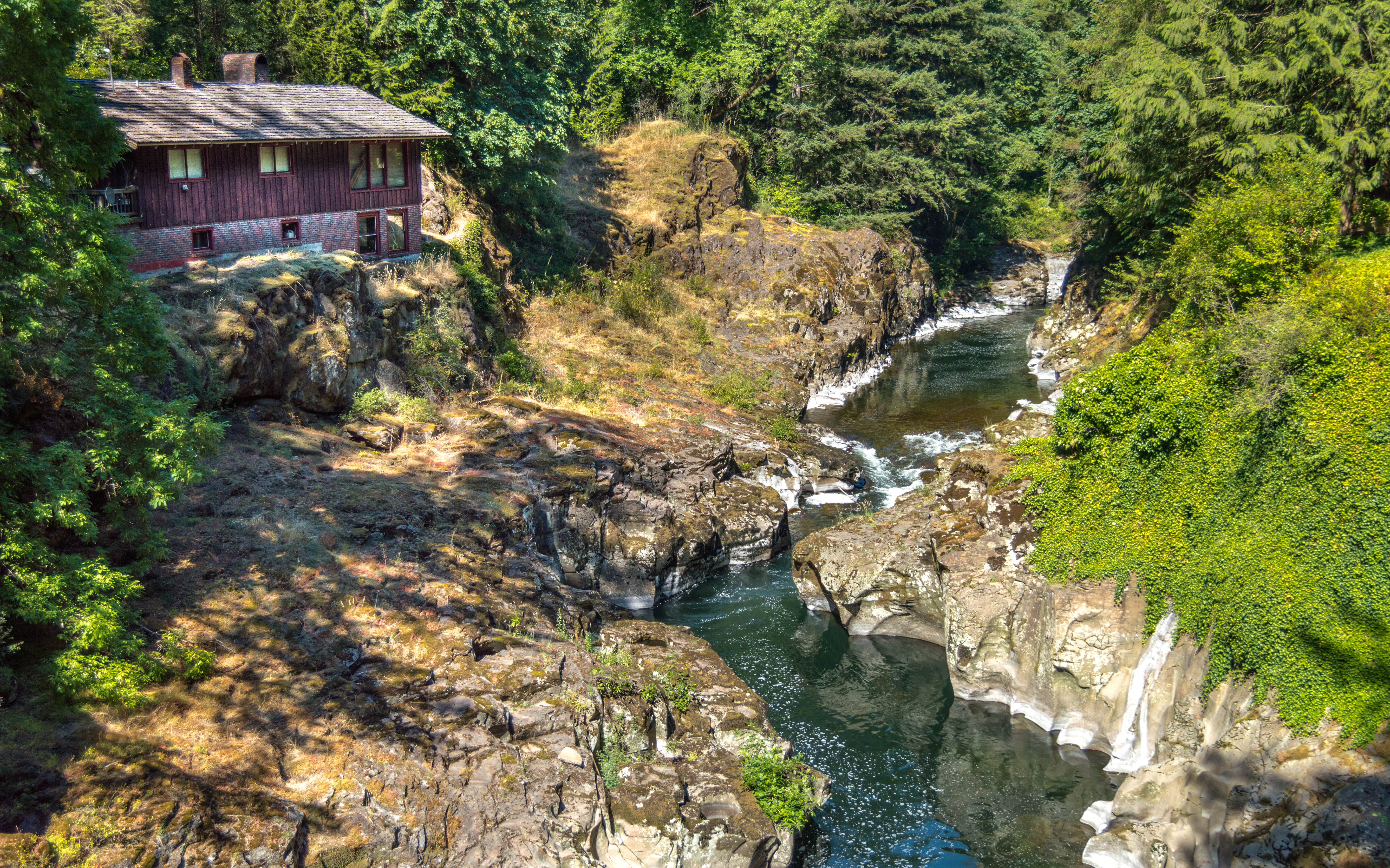
River House
Topographic Map of NE th Cir, Yacolt, WA, USA
Find elevation by address:

Places near NE th Cir, Yacolt, WA, USA:
21717 Ne Dole Valley Rd
32901 Ne 236th St
23502 Ne 329th Ct
32400 Ne Clearwater Dr
32520 Ne 94th St
Camas, WA, USA
5404 Ne 320th Ave
Northeast 349th Avenue
Northeast Ammeter Road
2507 Ne 375th Ave
34106 Ne 24th St
714 Ne 332nd Ct
2106 Ne 384th Ct
34506 Ne 5th St
34506 Ne 5th St
34506 Ne 5th St
34506 Ne 5th St
34506 Ne 5th St
2015 Ne 387th Ave
38411 Ne Rosemary Dr
Recent Searches:
- Elevation of Corso Fratelli Cairoli, 35, Macerata MC, Italy
- Elevation of Tallevast Rd, Sarasota, FL, USA
- Elevation of 4th St E, Sonoma, CA, USA
- Elevation of Black Hollow Rd, Pennsdale, PA, USA
- Elevation of Oakland Ave, Williamsport, PA, USA
- Elevation of Pedrógão Grande, Portugal
- Elevation of Klee Dr, Martinsburg, WV, USA
- Elevation of Via Roma, Pieranica CR, Italy
- Elevation of Tavkvetili Mountain, Georgia
- Elevation of Hartfords Bluff Cir, Mt Pleasant, SC, USA