Elevation of NE Tenney Rd, Vancouver, WA, USA
Location: United States > Washington > Clark County > Salmon Creek >
Longitude: -122.66343
Latitude: 45.7207686
Elevation: 62m / 203feet
Barometric Pressure: 101KPa
Elevation Map:
Satellite Map:
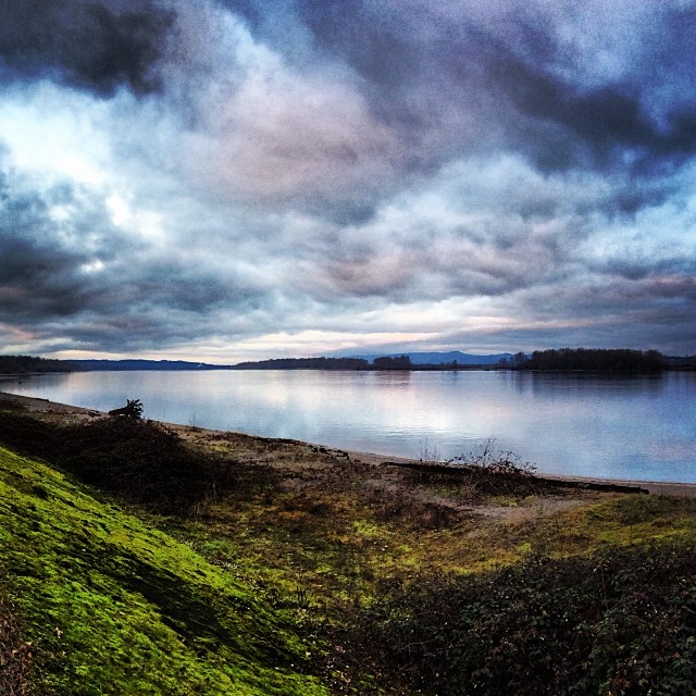
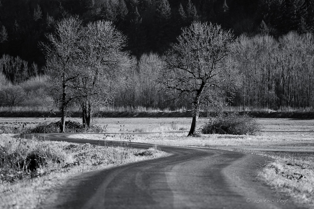
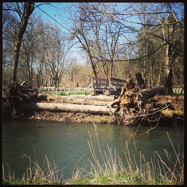
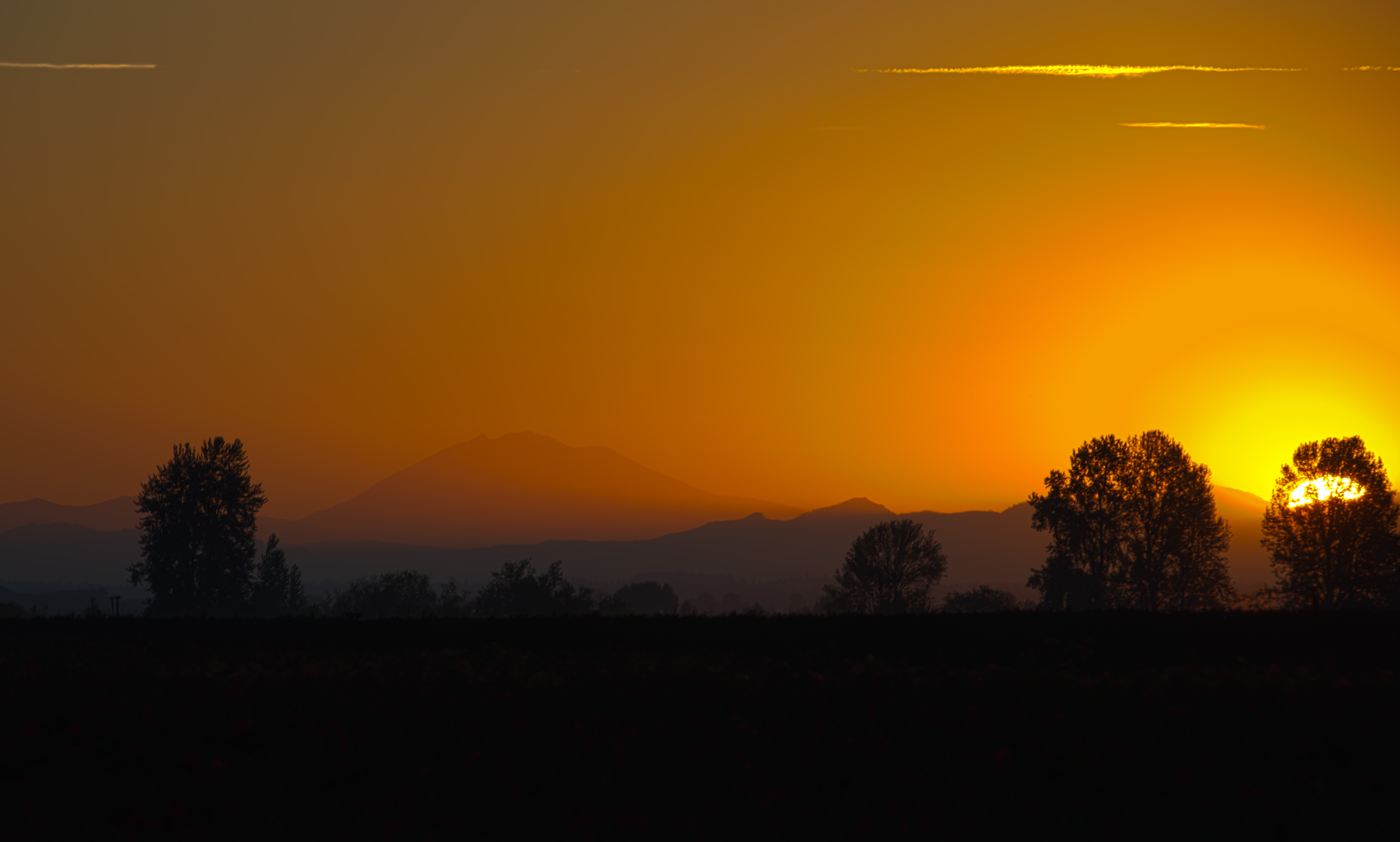
Related Photos:

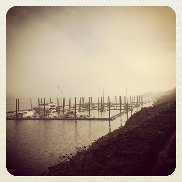
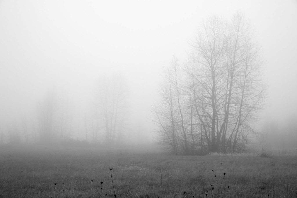
From out of the Fog..
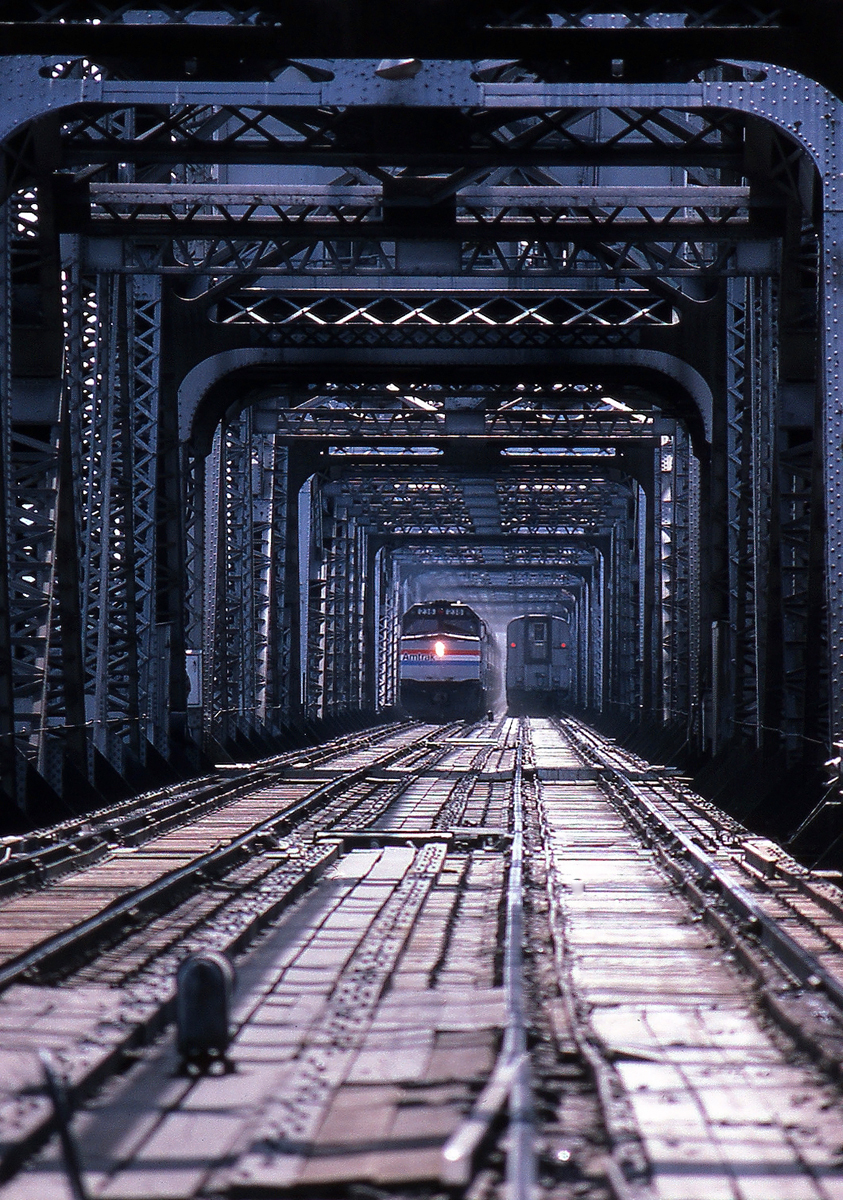
Coming and Going

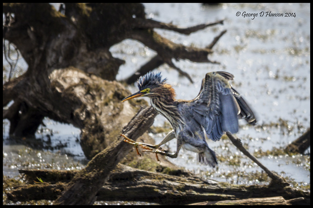
Hooded Mergansers in the Spotlight
Strech and Yawn..
2010: 365/166
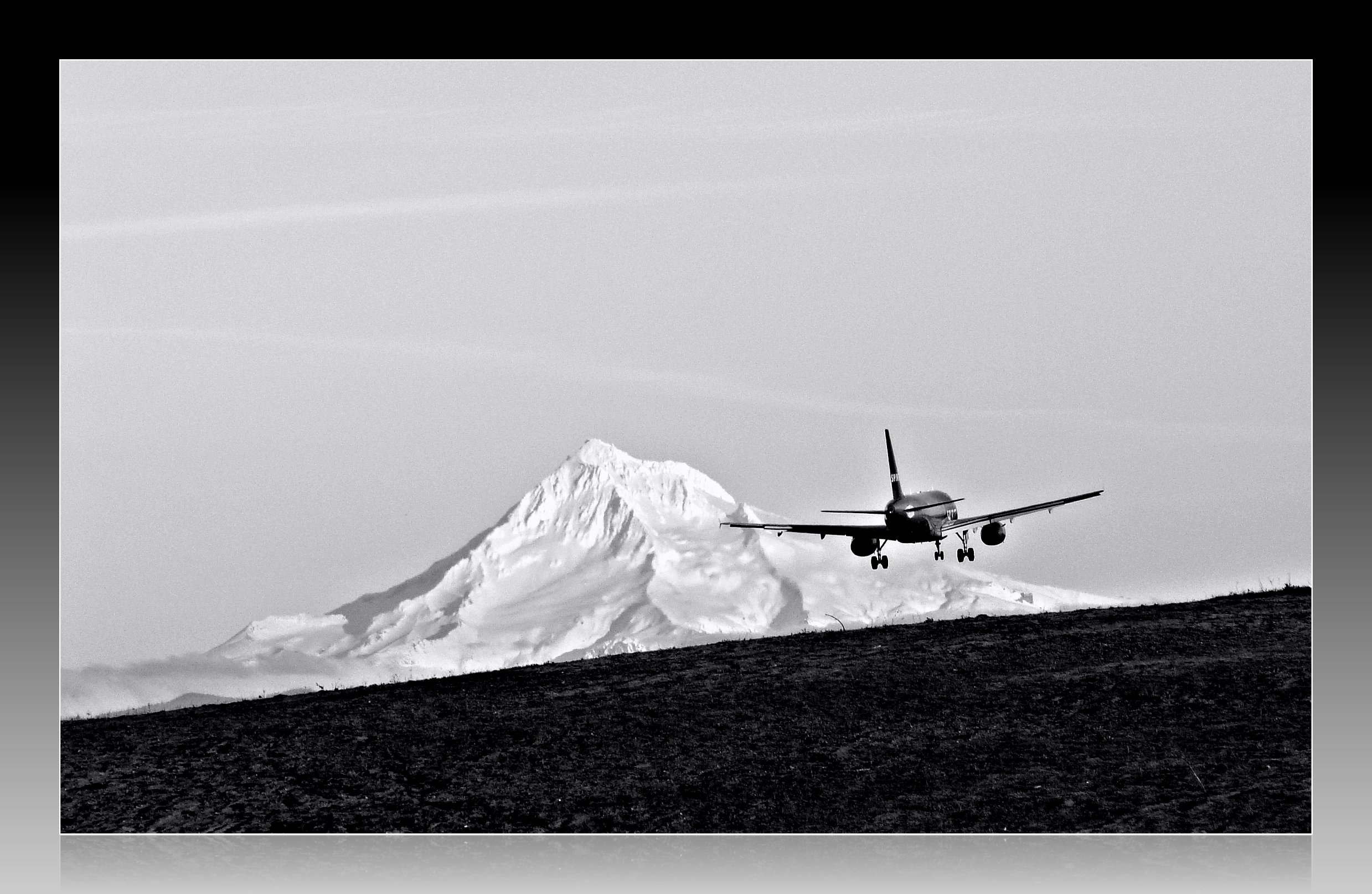
Leavin' on a Jet Plane
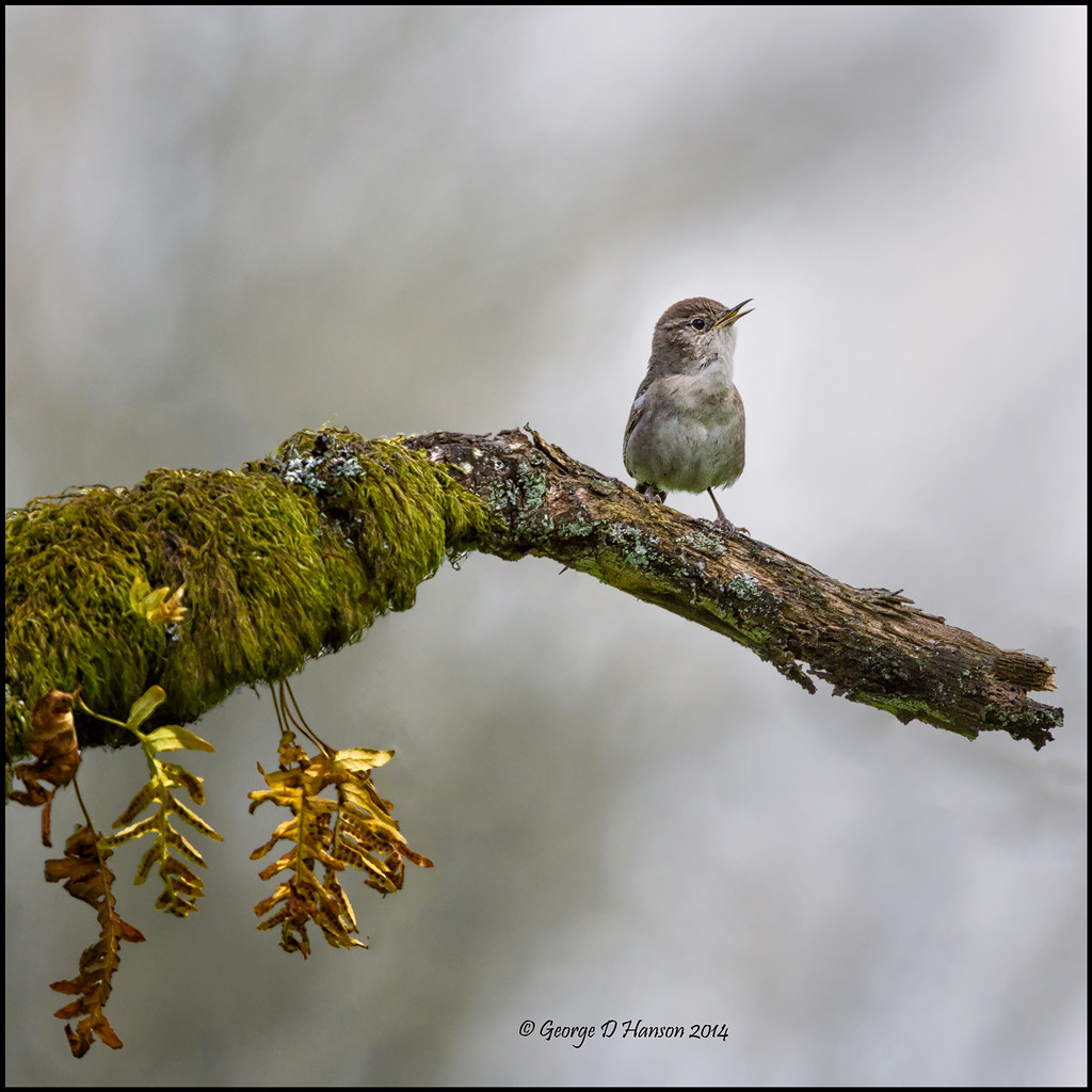
Out on a Limb
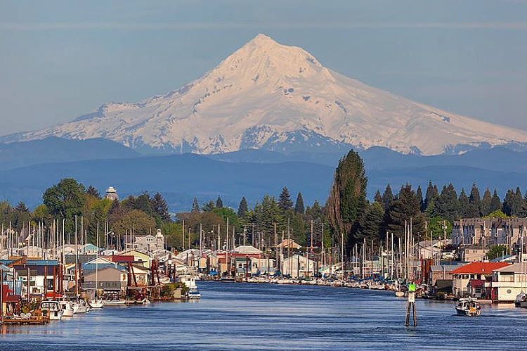
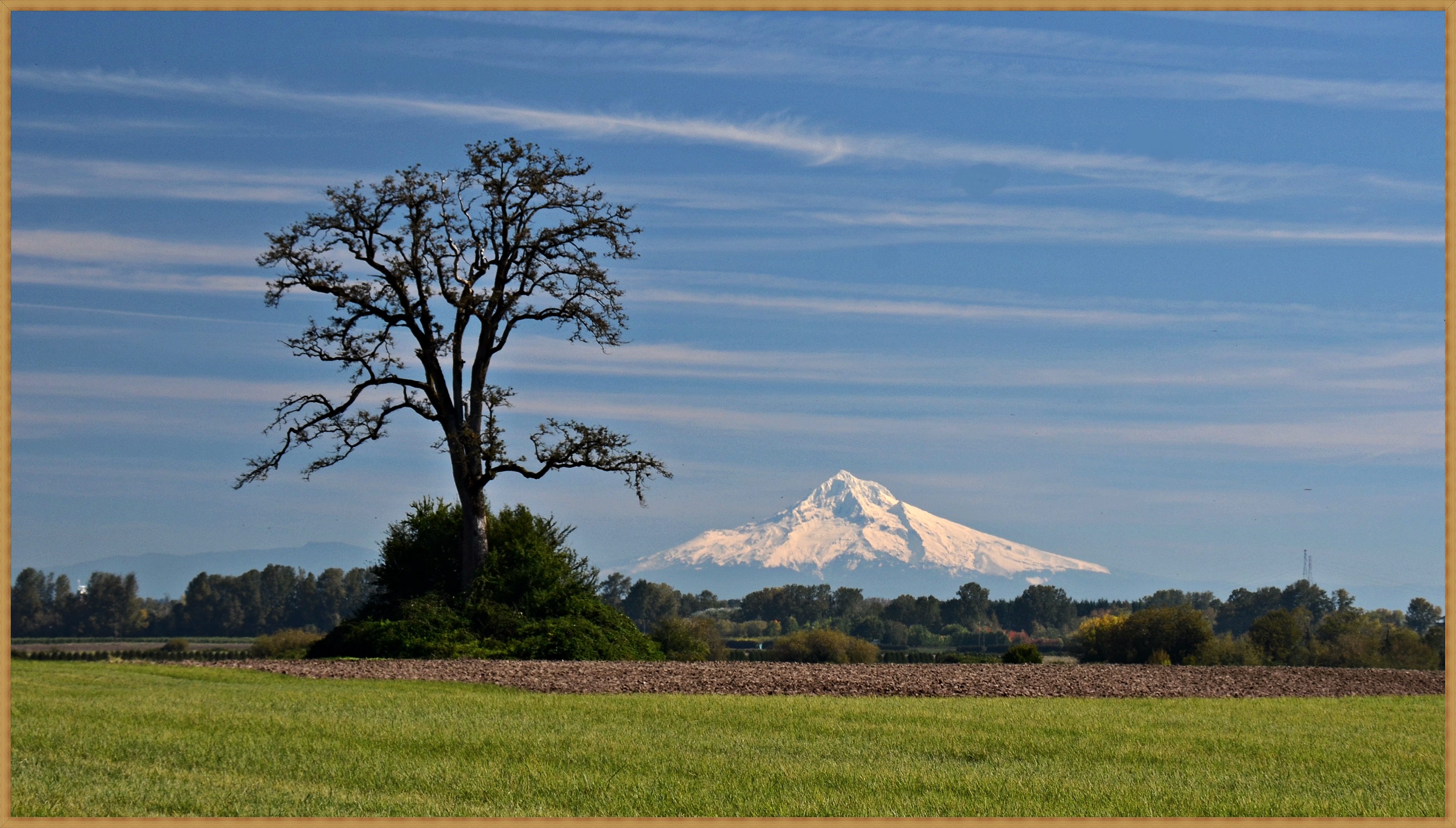
Great view of Mt. Hood this morning!
Majestic Mt Hood towering over floating homes along Columbia River . . . . #mounthood #floatinghouse #columbiariver #traveloregon #jj_westcoast #jj_oregon #gramkillerz #portlandlife #mthoodterritory #columbiarivergorge #exploreoregon #purplepassport #expl
Seattle Bound Amongst the Searchlights
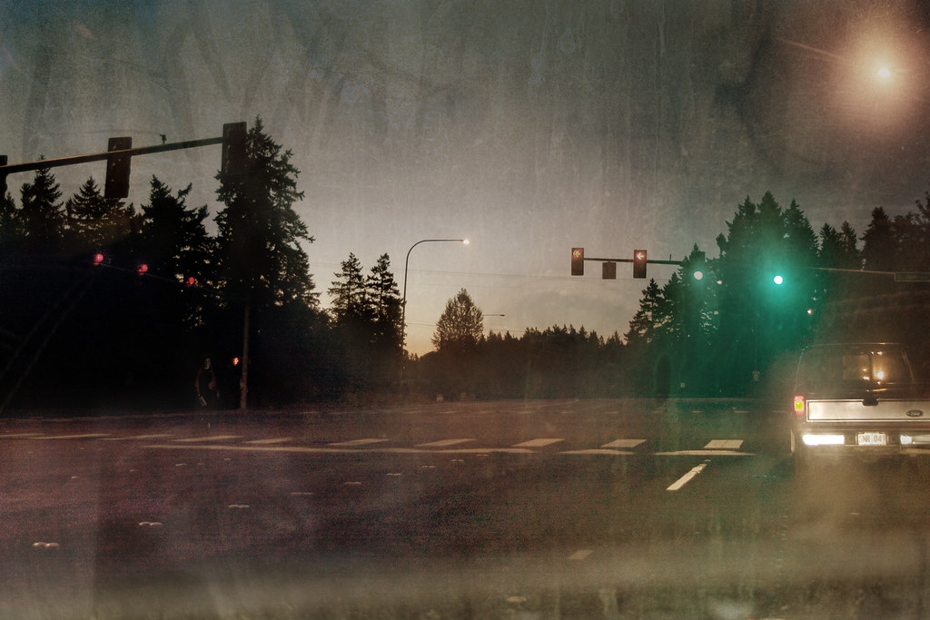
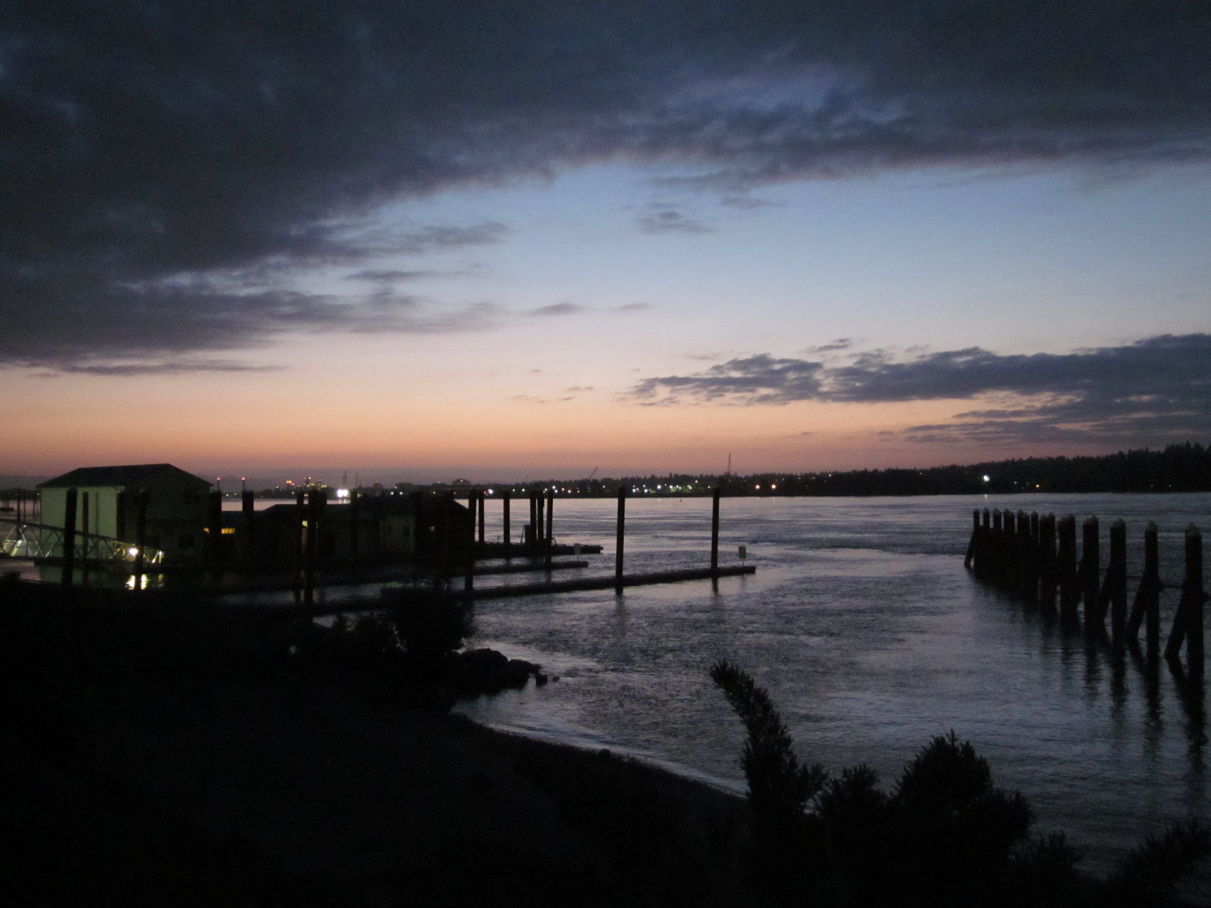
Foggy Night
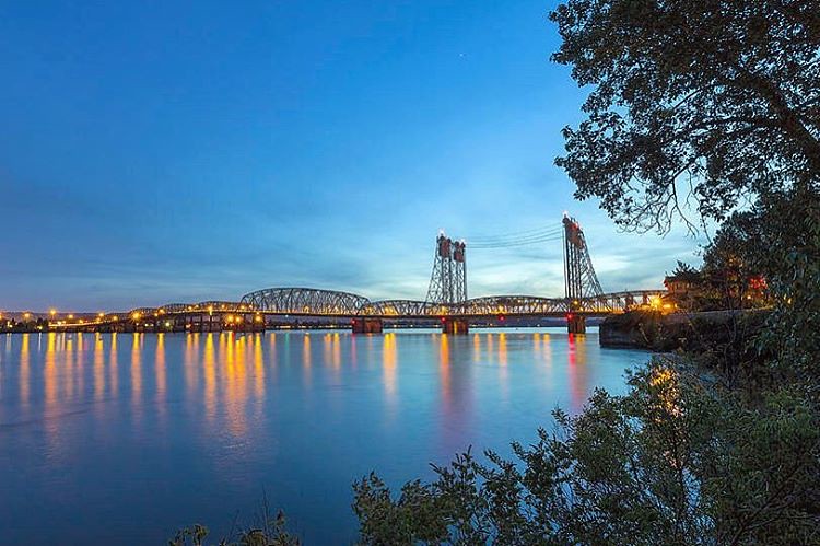
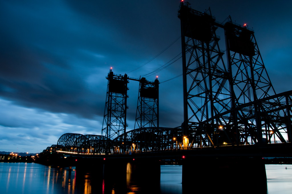
The Interstate 5 Columbia River Crossing at Blue Hour . . . . #interstate5 #columbiarivercrossing #bluehourphotography #portland #travelportland #exploreportland #columbiariver #travelwashington #explorewashington #pacificnorthwest #pnwisbeautiful #pnwond
GO ~ or ~ how you'll stay with me
Just Saying
Doing My Own Pedicure

Thorny Song (Explore 3/16/15)

Pinhole Panoramic
Under the PDX Canopy
A Straight-On View
A Night at the Fort......
Jump Baby Jump
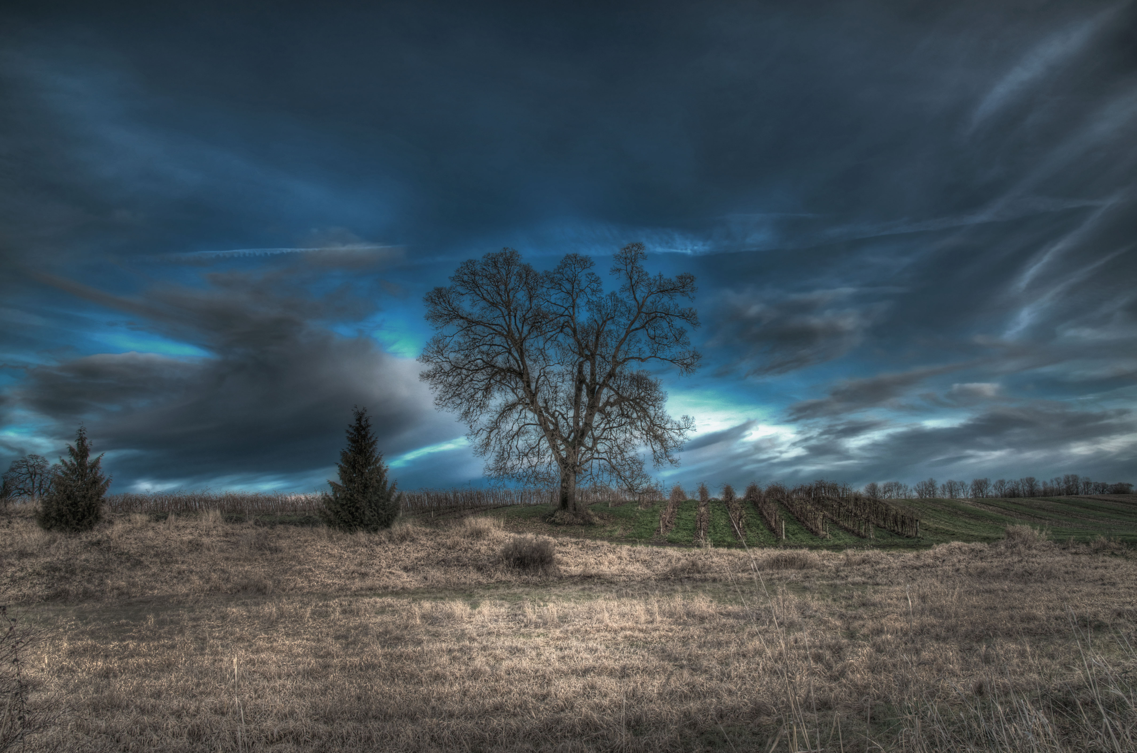
an Oregon island in the fall
sauvie scene

sauvie forest road

early morning arrival

I will follow the water and not the sun
Pearson Airfield #sonya6000 #flowers #nature #weaverwrite #beauty #pearsonairport
from lucy reeder road

Colorful Sunset
Columbia River

Hidden rivers. #columbiariver #sauviesisland #oregonfromthesky
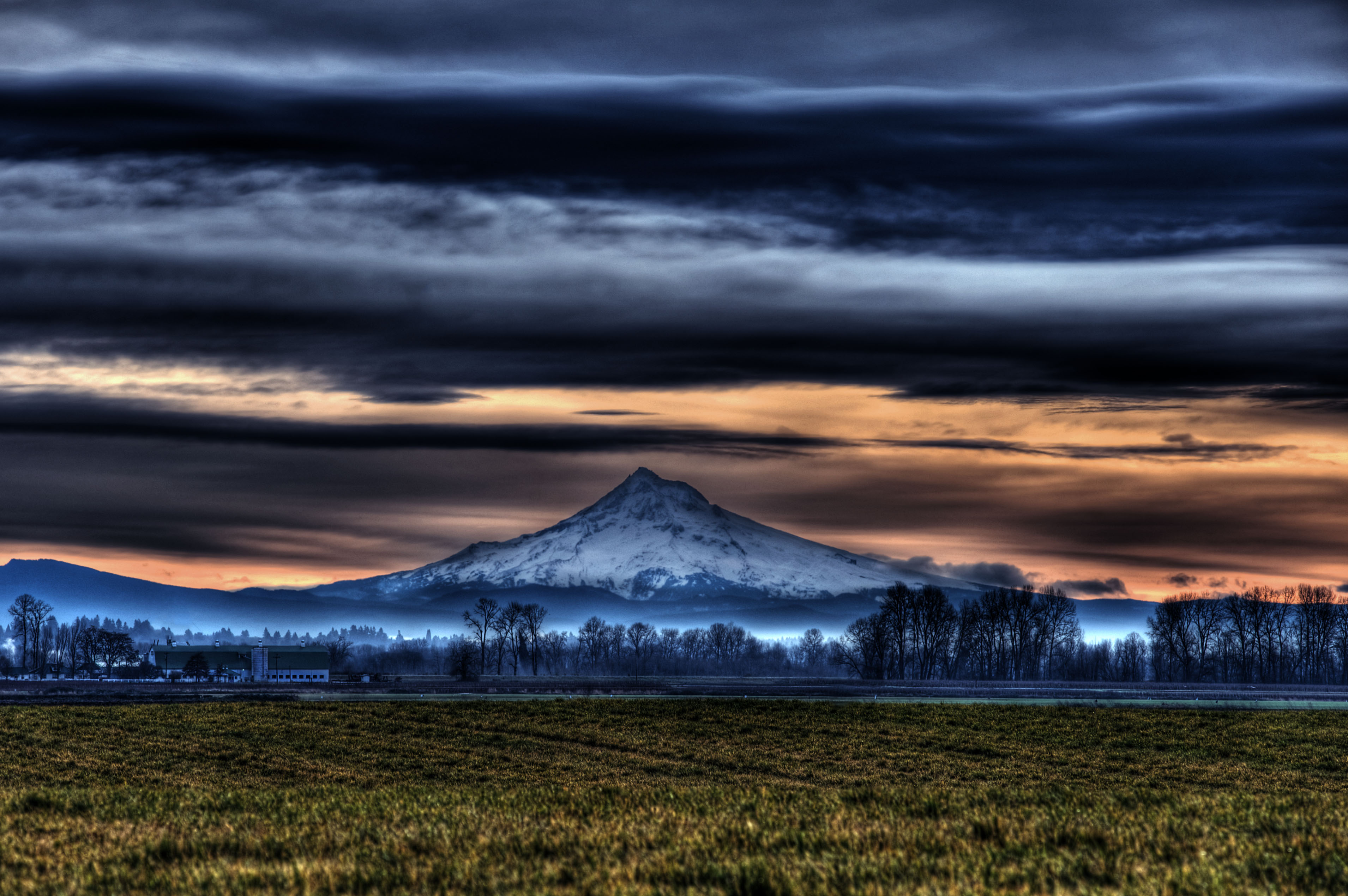
Mount Hood from Sauvie Island 10 5 2013
Mt. Hood from Sauvie2

sauvie island at dawn

shroud of light
Sauvie island sunsets. Racking up the winter km's after dark. #highcontrast makes them colors pop!

Welcome to the Vineyard
Waiting for Ridgefield
A bridge to nowhere
sunrise from Sauvie Island
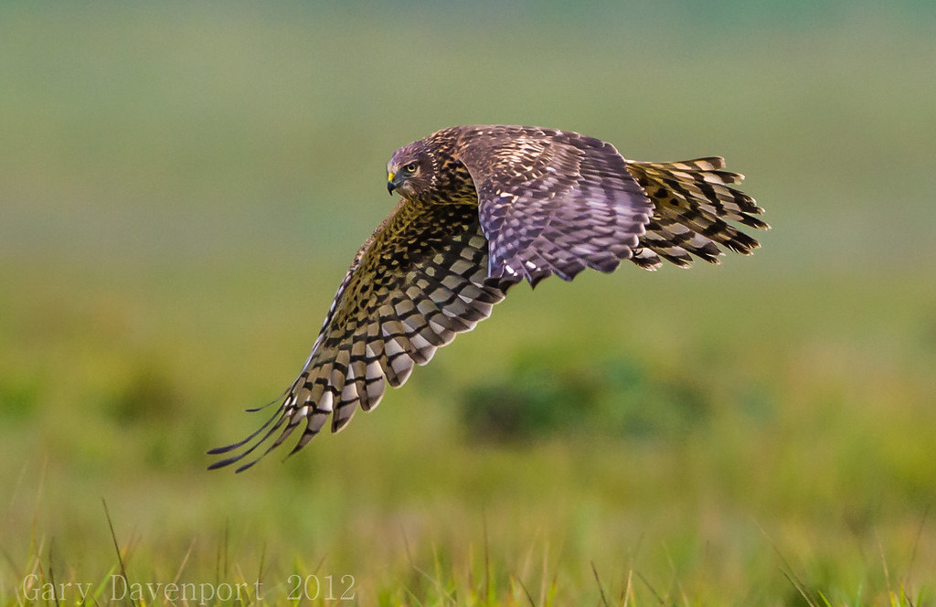
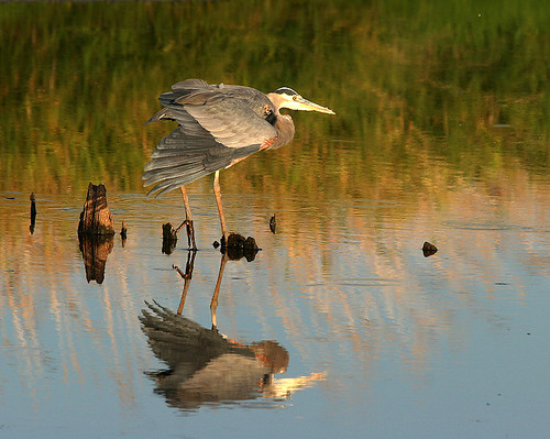
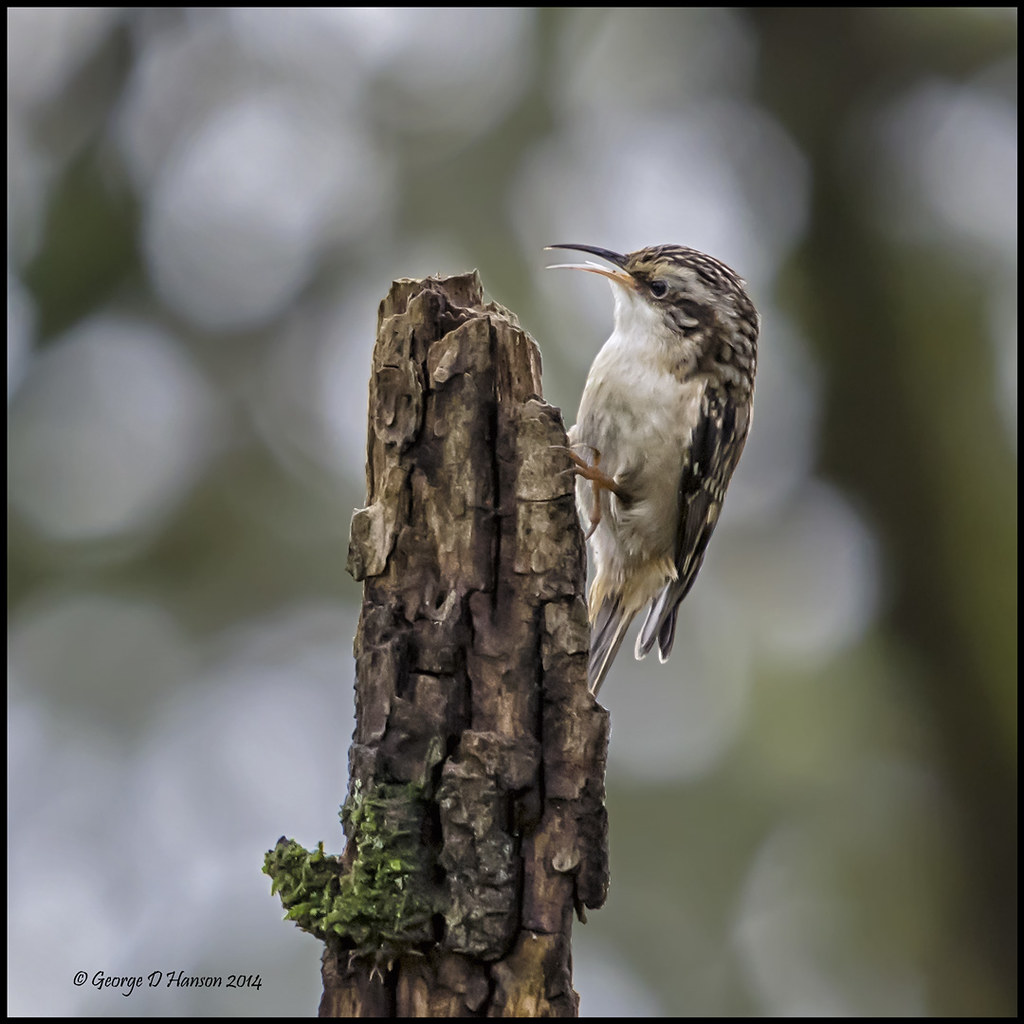
Northern Harrier

pools of light
Topographic Map of NE Tenney Rd, Vancouver, WA, USA
Find elevation by address:

Places near NE Tenney Rd, Vancouver, WA, USA:
14204 Ne 10th Ave
14405 Ne 9th Ct
14413 Ne 9th Ct
13717 Nw 2nd Ave
Northeast 147th Circle
811 Ne 149th St
12005 Ne 14th Ave
12615 Ne 5th Ave
12607 Northeast 5th Court
12515 Northeast 5th Court
13915 Nw 3rd Ct
1516 Ne 126th St
409 Nw 134th Cir
1112 Ne 117th St
207 Nw 152nd St
300 Ne 154th St
15212 Ne 19th Ct
15252 Ne 19th Ct
13821 Nw 10th Ct
15920 Ne 20th Ave
Recent Searches:
- Elevation of Corso Fratelli Cairoli, 35, Macerata MC, Italy
- Elevation of Tallevast Rd, Sarasota, FL, USA
- Elevation of 4th St E, Sonoma, CA, USA
- Elevation of Black Hollow Rd, Pennsdale, PA, USA
- Elevation of Oakland Ave, Williamsport, PA, USA
- Elevation of Pedrógão Grande, Portugal
- Elevation of Klee Dr, Martinsburg, WV, USA
- Elevation of Via Roma, Pieranica CR, Italy
- Elevation of Tavkvetili Mountain, Georgia
- Elevation of Hartfords Bluff Cir, Mt Pleasant, SC, USA