Elevation of NE 64th Ct, Vancouver, WA, USA
Location: United States > Washington > Clark County > Vancouver >
Longitude: -122.60644
Latitude: 45.6941493
Elevation: 78m / 256feet
Barometric Pressure: 100KPa
Elevation Map:
Satellite Map:
Related Photos:

Scaly Wood Mushroom (Explore 11/3/13)
Coming and Going

The sci-fi horizons of Mayfriar's Lobby
We got kicked out of the local park for being off-leash by Park Rangers. The next closest gated, off-leash park on the Portland Parks & Recreation list of places to go was an extra 80 blocks away, but well worth the surprise view of Mt. St. Helens. #NYTvo
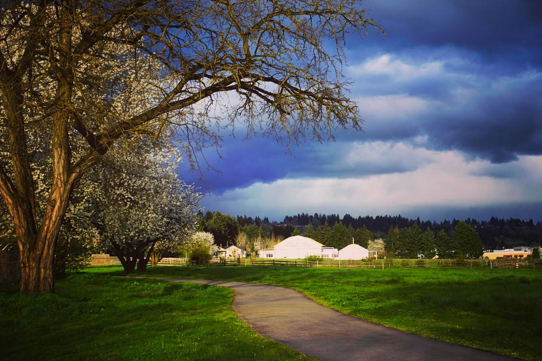
Home Sunset 2

Thorny Song (Explore 3/16/15)

Pinhole Panoramic
Under the PDX Canopy
A Straight-On View
Flying Above the Clouds and Teeny Tiny Mountains off in the Distance

Battle Ground Lake.
IMAG1597_edited-1.jpg

WSU Vancouver Polar Panorama

Lilies In The Wind

A foggy day in the park

From out of the Fog..
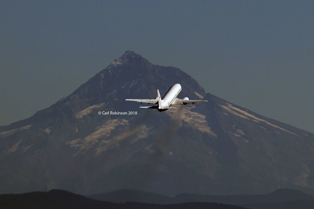
Leavin' on a Jet Plane
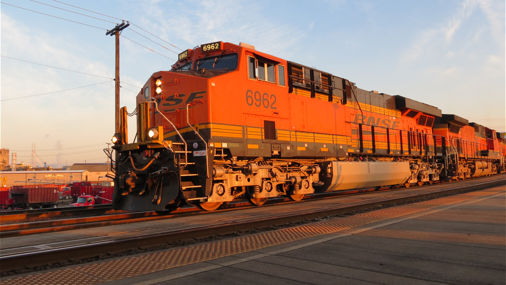
GE Diesel Locomotive (Start Up)

#mountsthelens is beautiful today. View from my front porch.
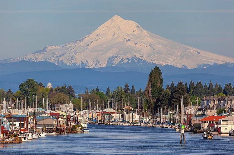
Majestic Mt Hood towering over floating homes along Columbia River . . . . #mounthood #floatinghouse #columbiariver #traveloregon #jj_westcoast #jj_oregon #gramkillerz #portlandlife #mthoodterritory #columbiarivergorge #exploreoregon #purplepassport #expl
Time to make the Nest

Forest fire

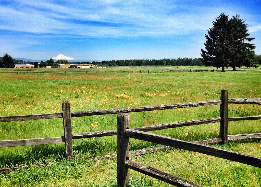
Mt Hood

Colorful Sunset

40 minutes after the flood life had returned to normal

Days like this
Untitled photo
Hills Of Gold
Golden Fields

Snow Geese Landing

HDR Sunrise @ Ridgefield Washington
the view
ColumbiaRiver-DC4_0483
Pearson Airfield #sonya6000 #flowers #nature #weaverwrite #beauty #pearsonairport

Hello, #oregon.
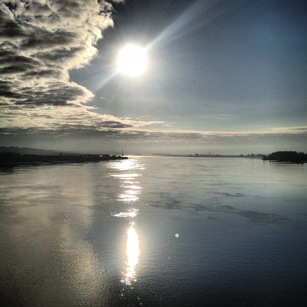
morning on the Columbia
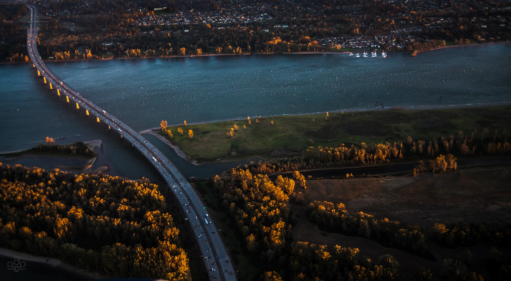
First light probes the Columbia River crossing
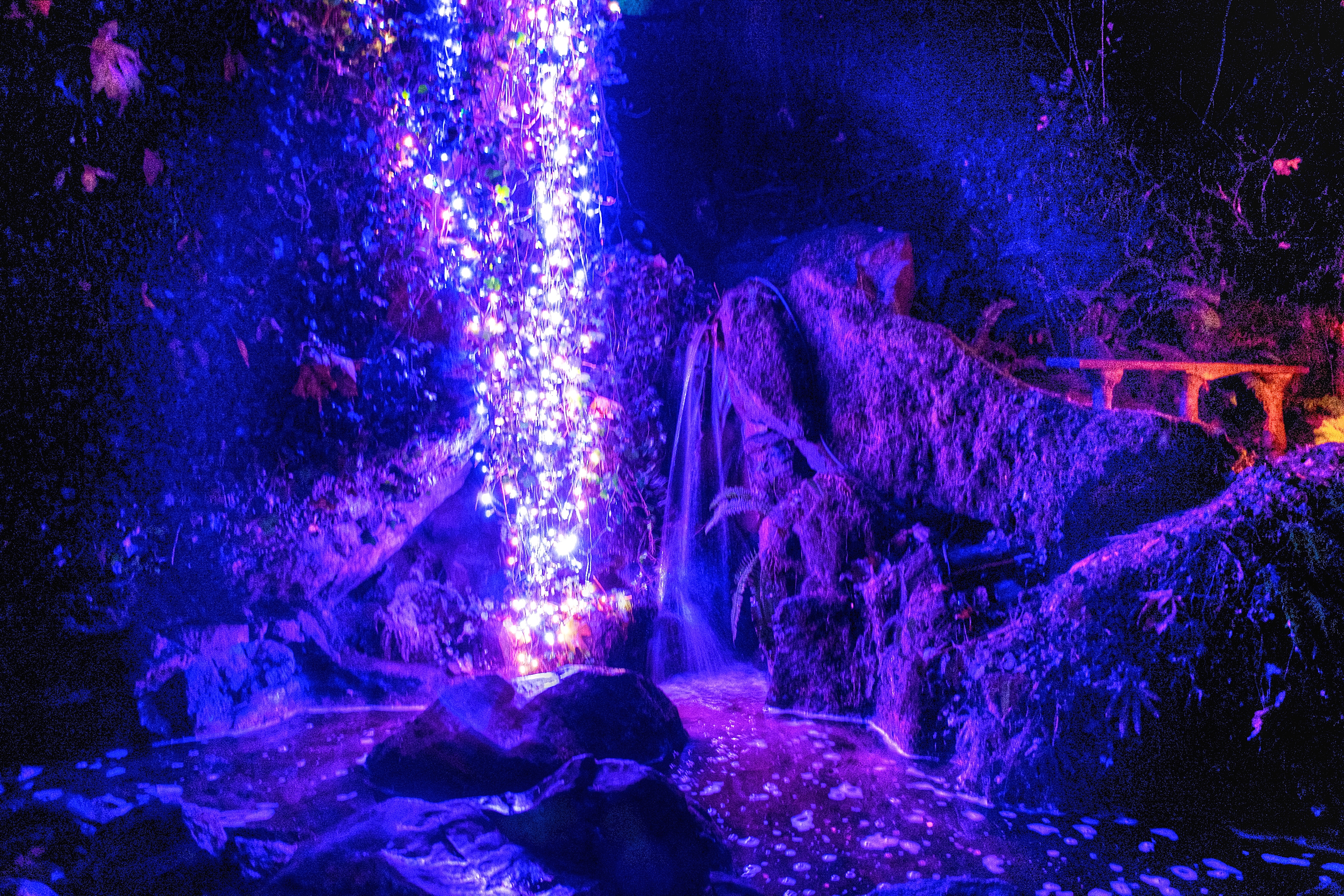
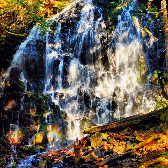
Cascade of Lights, Cascade of Water
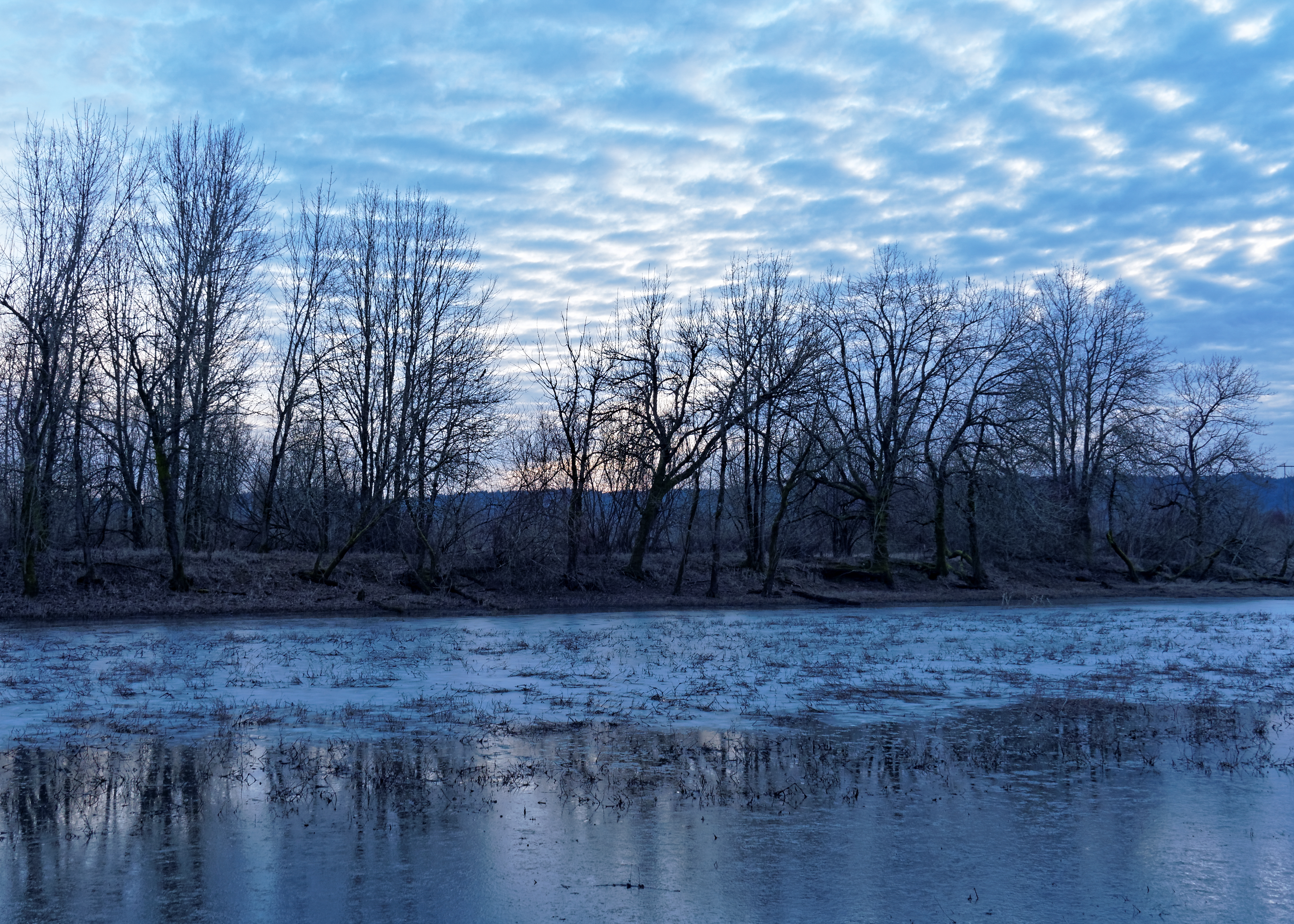
La Niña winter in Portland – ice on seasonal pond between Smith and Bybee Lakes
N639CS U.S. Marshals/DOJ Boeing 737-400
#vscocam
Topographic Map of NE 64th Ct, Vancouver, WA, USA
Find elevation by address:

Places near NE 64th Ct, Vancouver, WA, USA:
10413 Ne 65th Ave
Northeast 78th Street & Northeast Andresen Road
8000 Ne 94th St
6614 Ne 76th Cir
NE 70th St, Vancouver, WA, USA
Vancouver, WA, USA
Homan
10504 Ne 92nd Ave
9200 Ne 91st St
9200 Ne 91st St
9200 Ne 91st St
9200 Ne 91st St
9200 Ne 91st St
8208 Ne 63rd St
Five Corners
5309 Ne 76th Ave
8411 Ne 54th St
9700 Ne 70th St
8010 Ne 101st Ave
10501 Ne 107th St
Recent Searches:
- Elevation of Corso Fratelli Cairoli, 35, Macerata MC, Italy
- Elevation of Tallevast Rd, Sarasota, FL, USA
- Elevation of 4th St E, Sonoma, CA, USA
- Elevation of Black Hollow Rd, Pennsdale, PA, USA
- Elevation of Oakland Ave, Williamsport, PA, USA
- Elevation of Pedrógão Grande, Portugal
- Elevation of Klee Dr, Martinsburg, WV, USA
- Elevation of Via Roma, Pieranica CR, Italy
- Elevation of Tavkvetili Mountain, Georgia
- Elevation of Hartfords Bluff Cir, Mt Pleasant, SC, USA