Elevation of NE 63rd St, Harrah, OK, USA
Location: United States > Oklahoma > Oklahoma County > Harrah >
Longitude: -97.187844
Latitude: 35.5364854
Elevation: 369m / 1211feet
Barometric Pressure: 97KPa
Elevation Map:
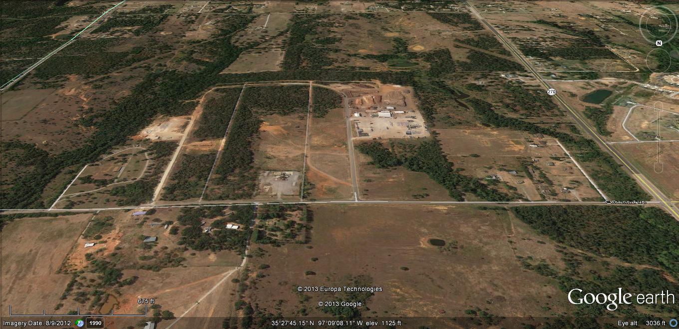
Satellite Map:
Related Photos:

A-OK Railroad

Metropolitan A.M.E. Church
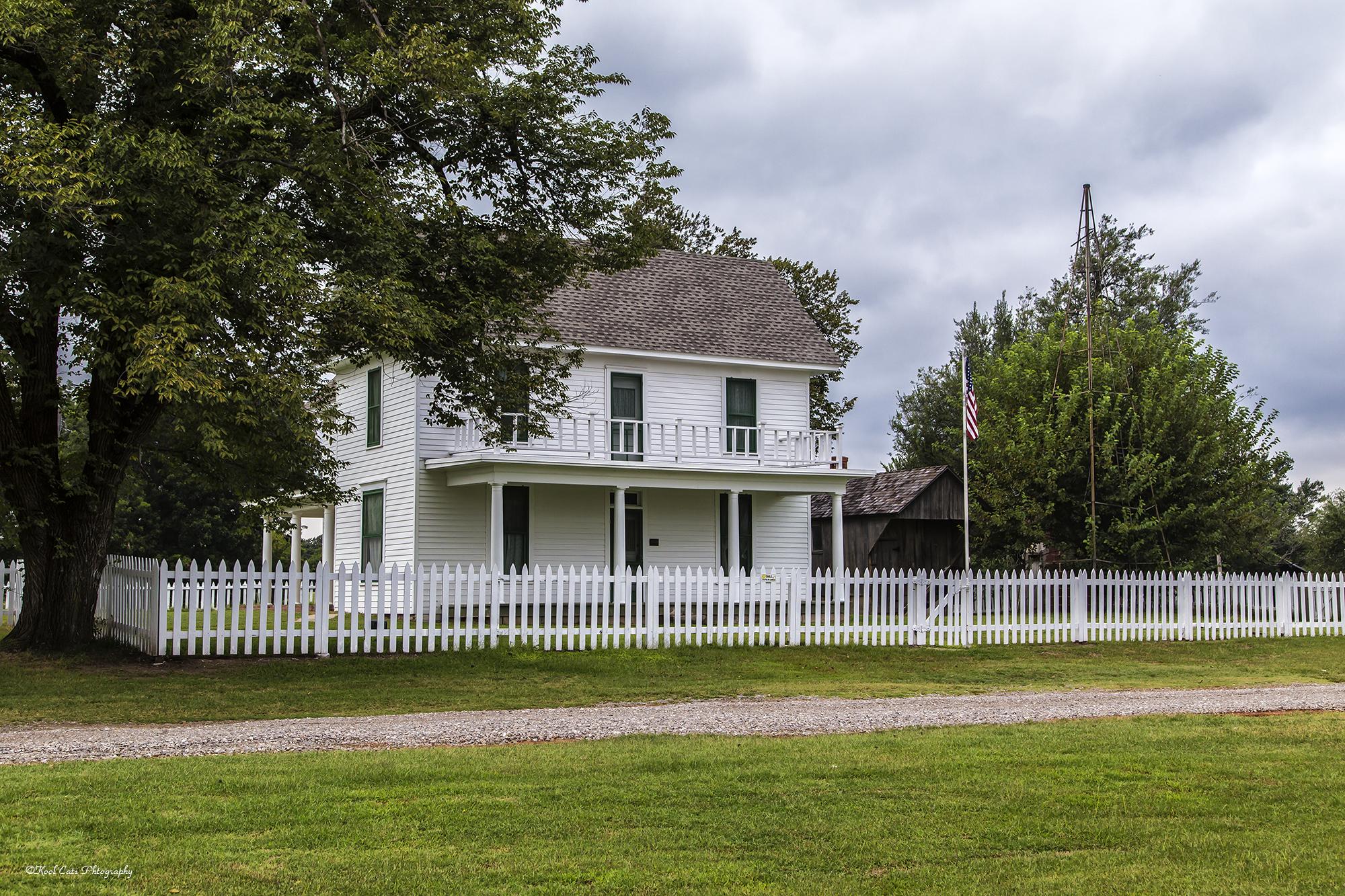
The White Picket Fence

Sun Rises

Cell phone pictures

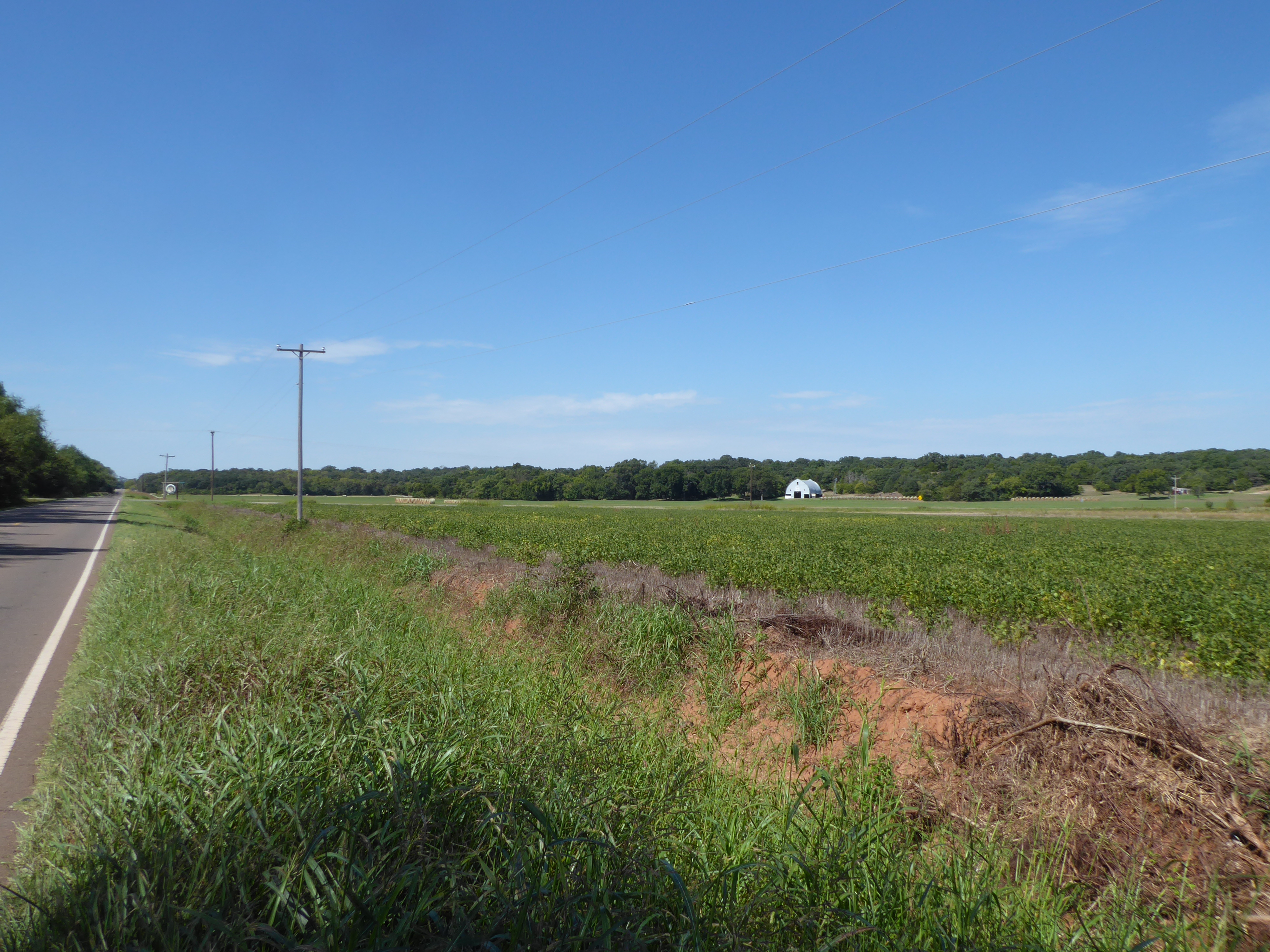
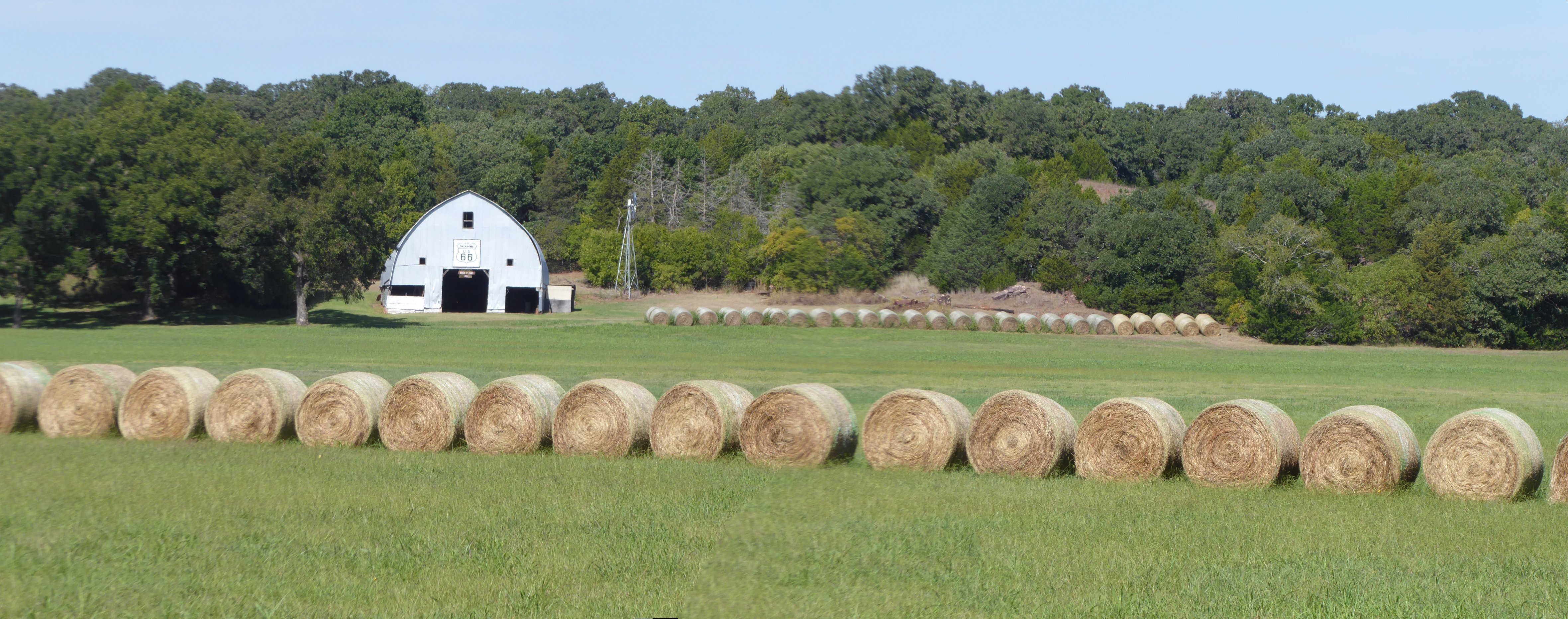
The barn at Rock of the Ages Farm
2016-10-01 @12-15-33 P1000814
2016-10-01 @12-17-09 P1000816-pano
harrah 1b
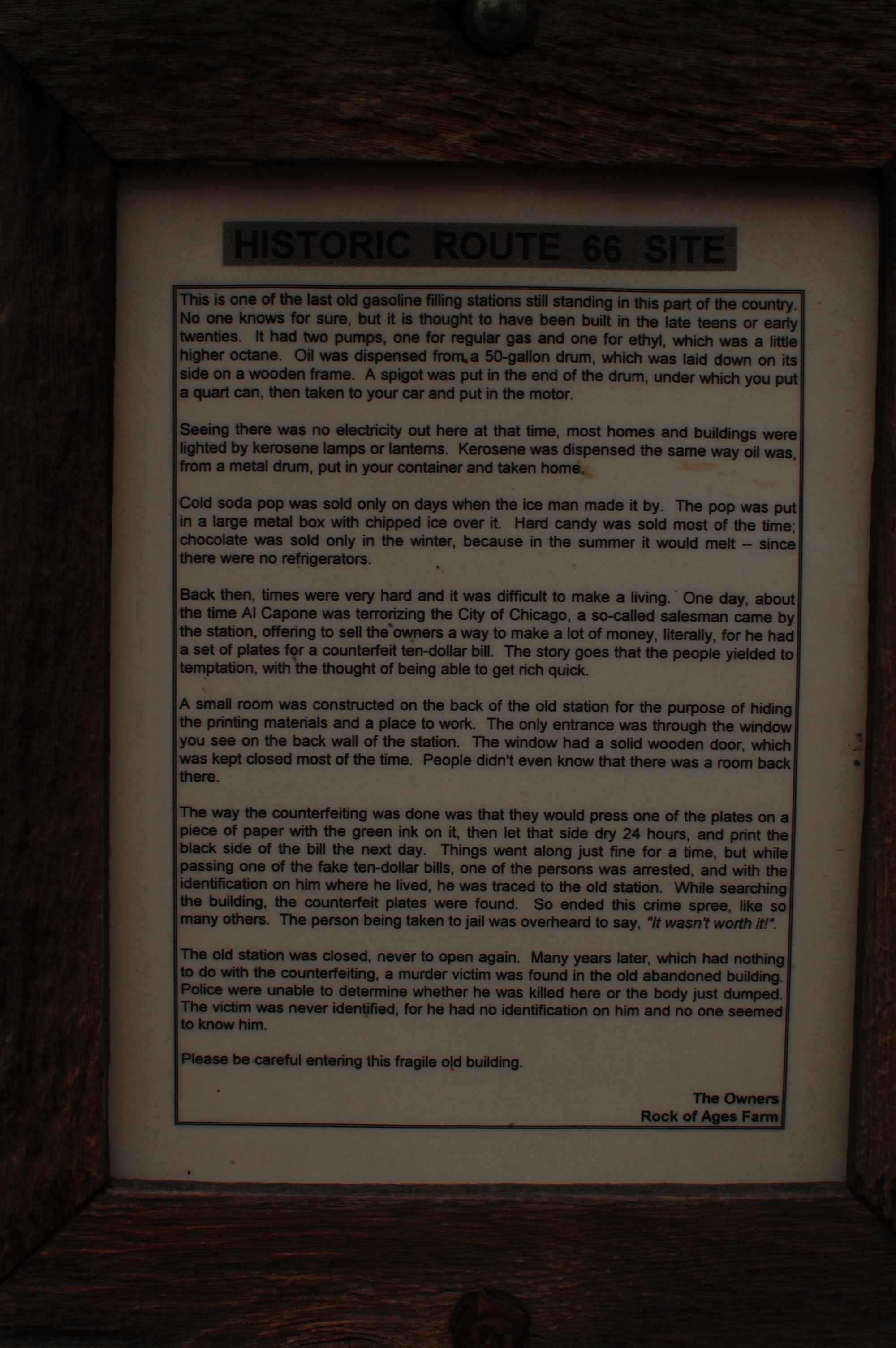
Gas Station Route 66 - info sheet

The Chicken Shack
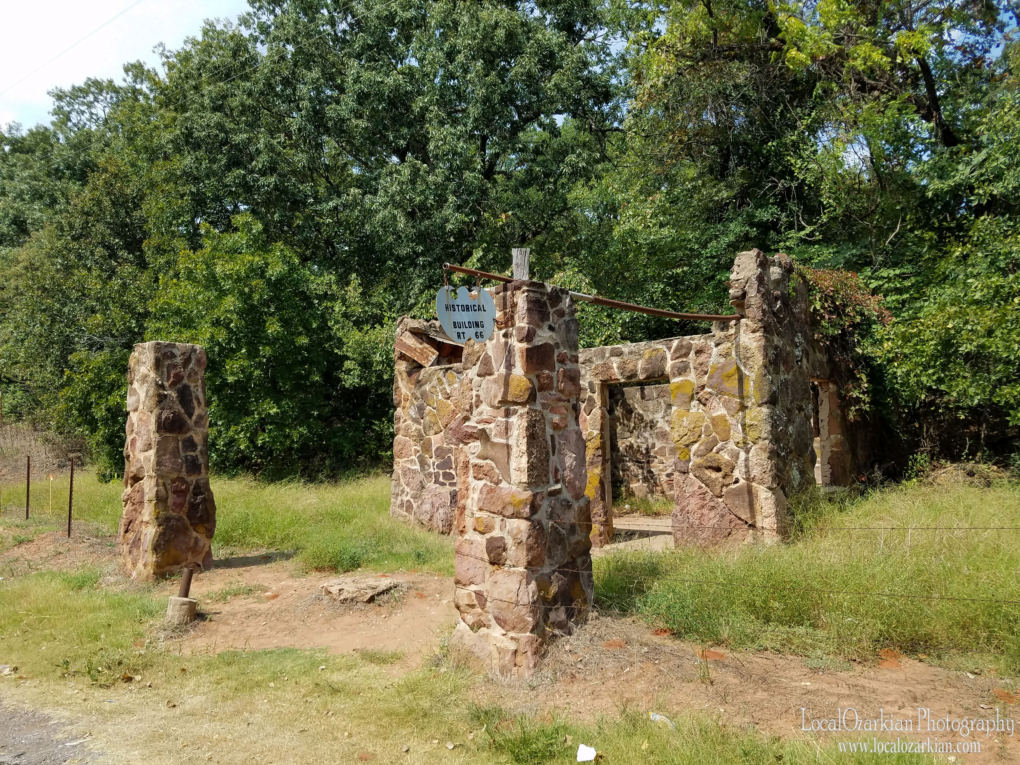
Rock Of Ages - Conoco Gas Station

Ain't this the truth!! ????????????

Wandering no. 1 #wander #wandering #photography #crumble #decay #thewildmidwest #okcberto
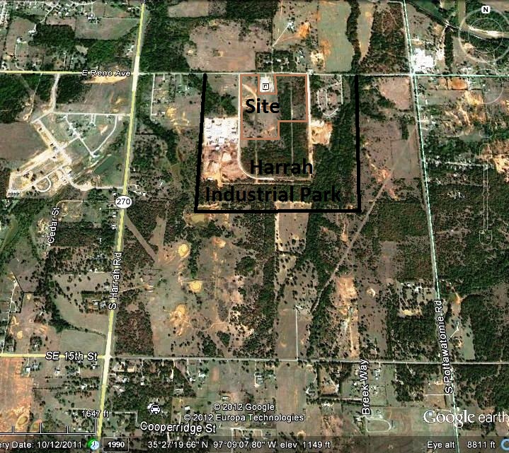
Harrah Industrial Park

20110703-OKC-1027

Jesha T-1036

Grain bins

Rusty Old Dodge Truck
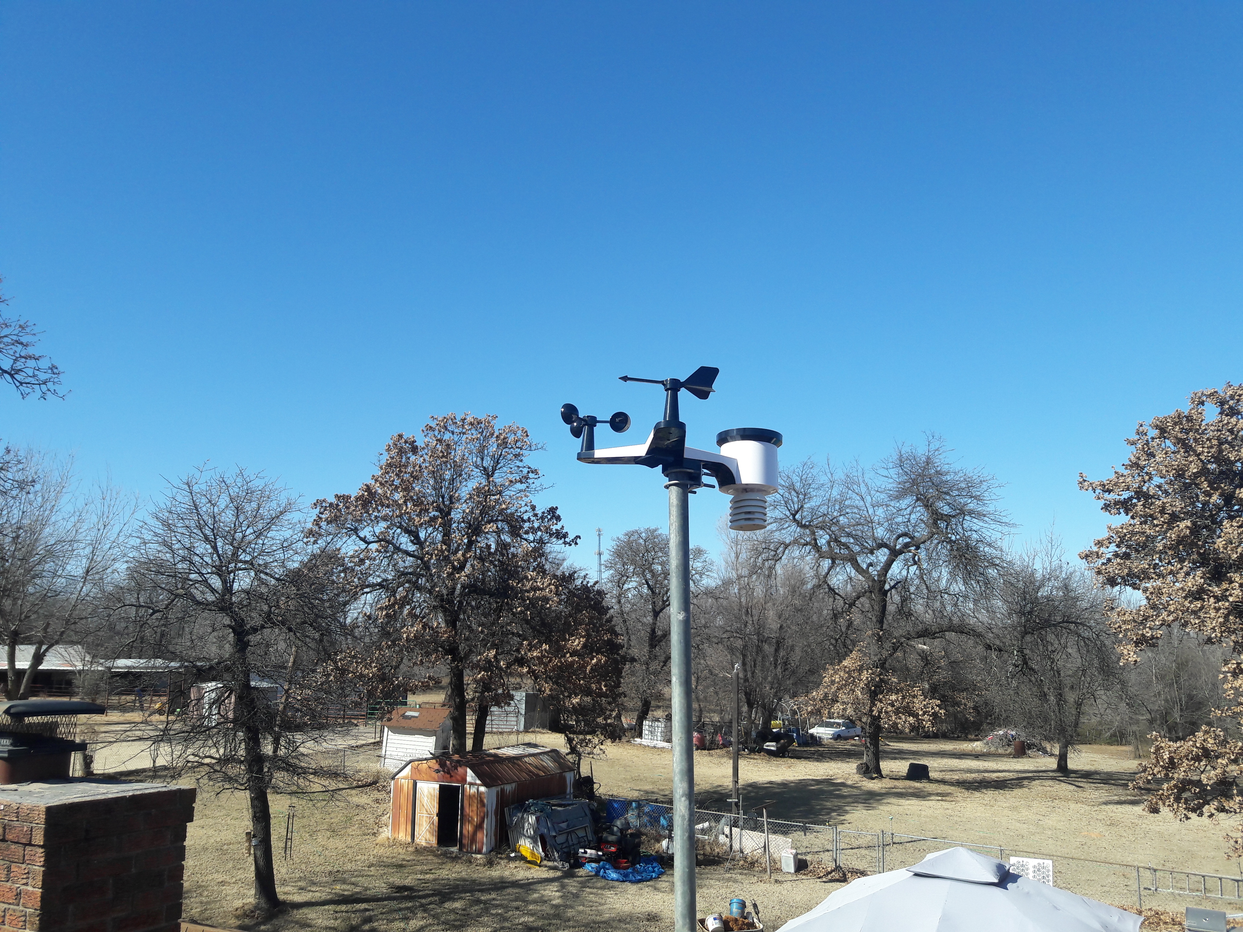
Pictures of FW2084 Weather station.
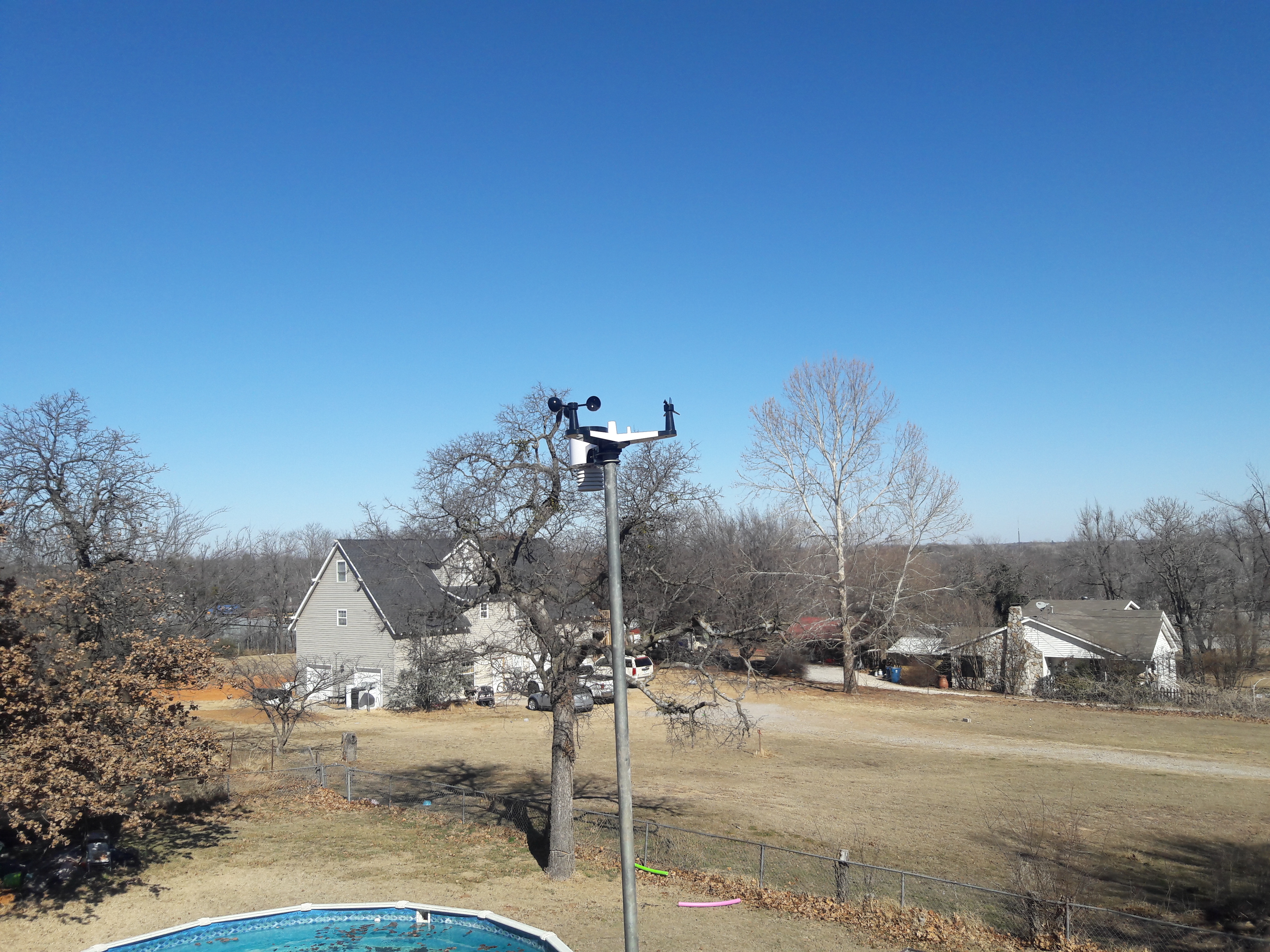
Pictures of FW2084 Weather station.

Pictures of FW2084 Weather station.

Pictures of FW2084 Weather station.
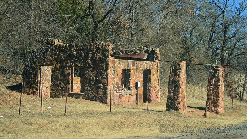
Old Conoco Station, Route 66
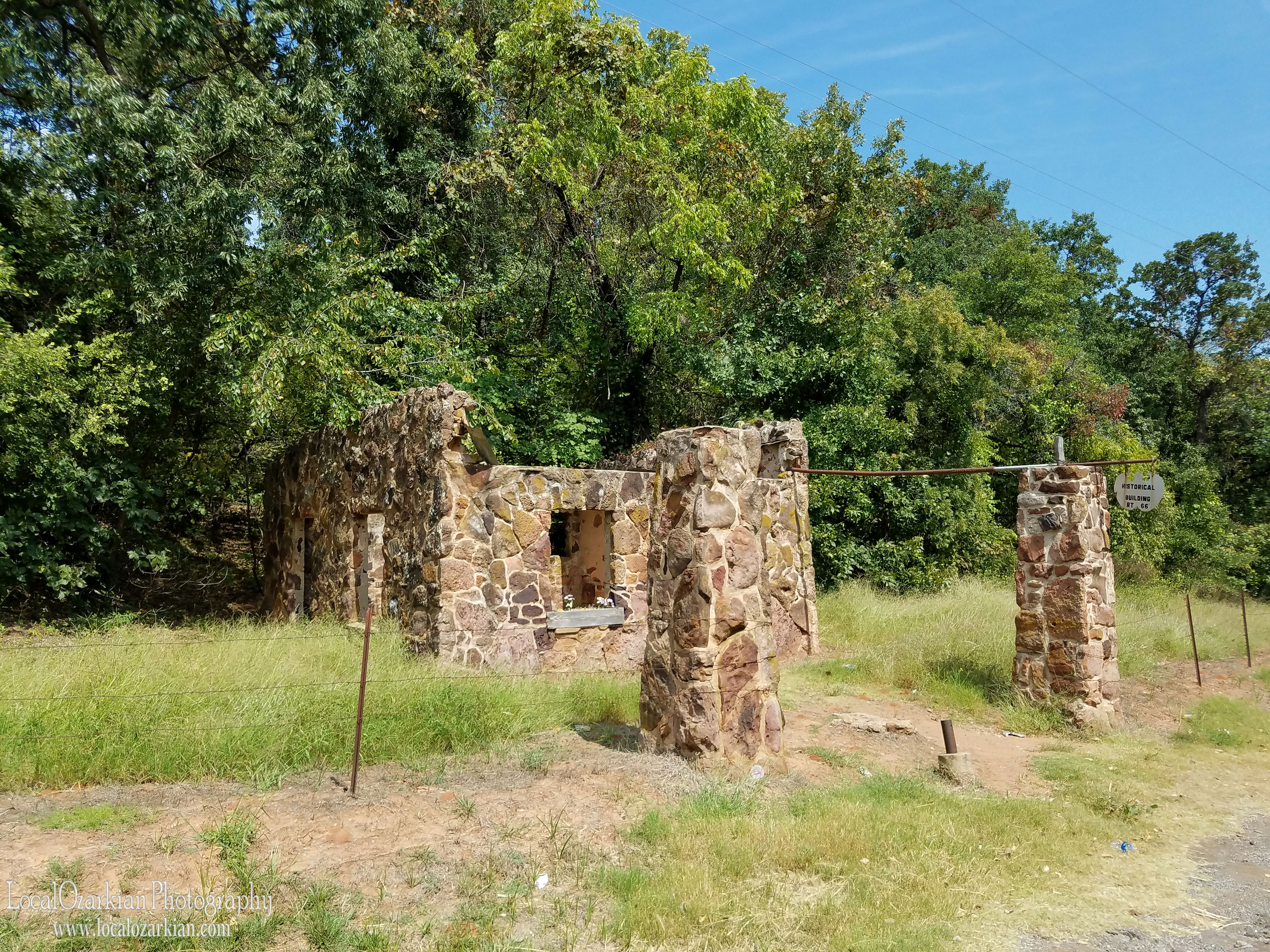
Rock Of Ages - Conoco Gas Station
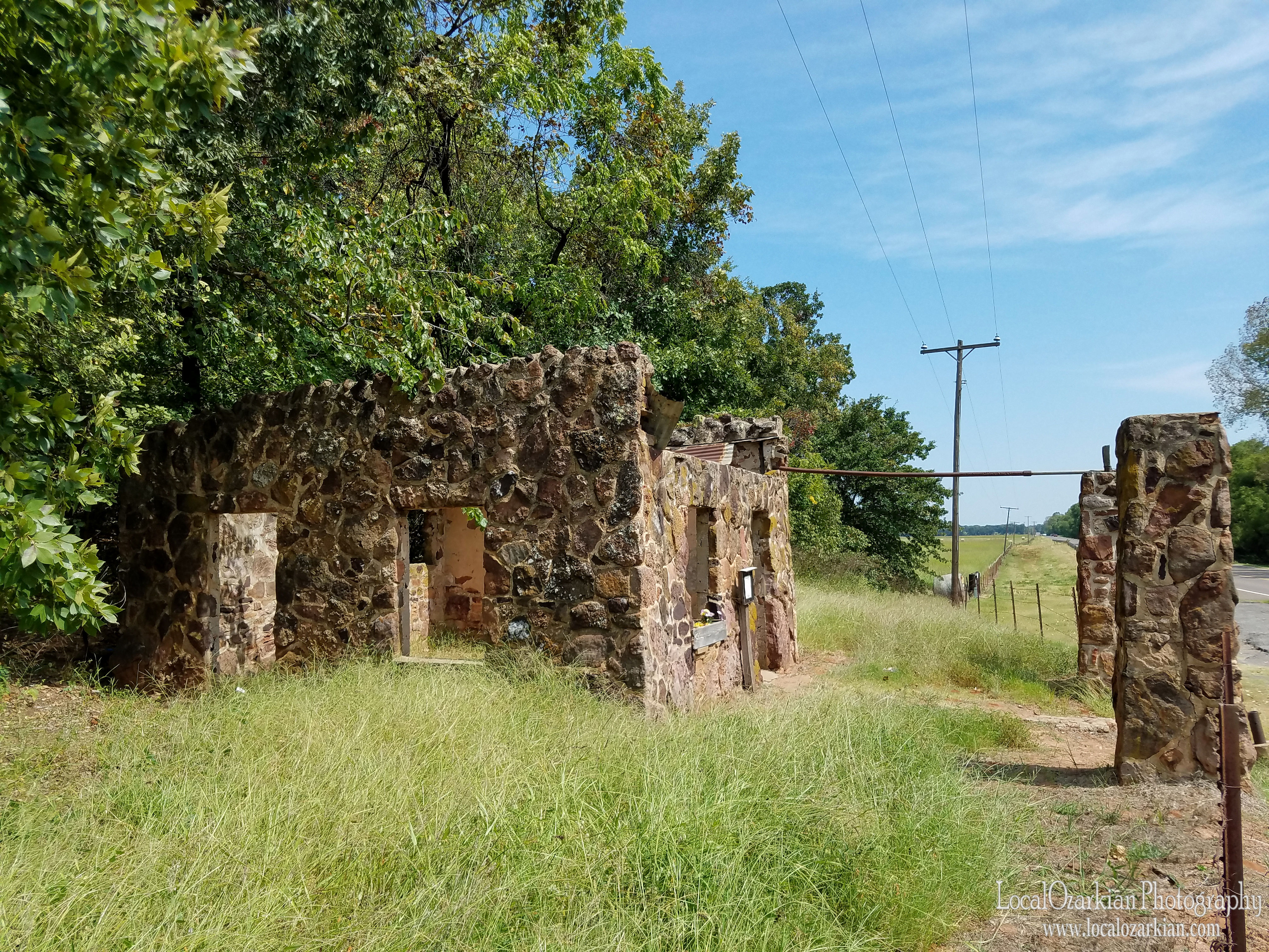
Rock Of Ages - Conoco Gas Station
Rock Of Ages - Conoco Gas Station
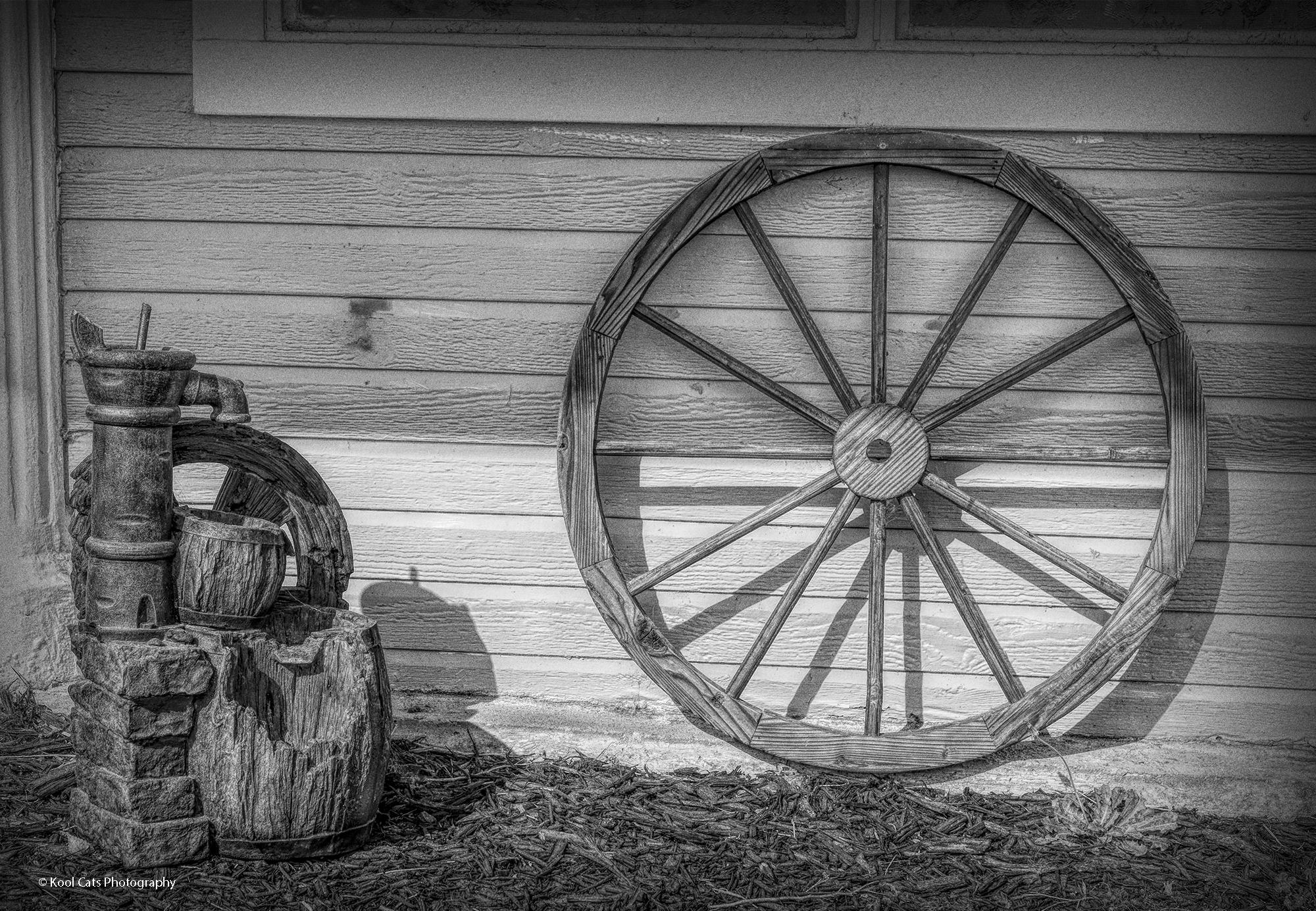
The Wagon Wheel

The Old Wreck-Chevrolet Apache

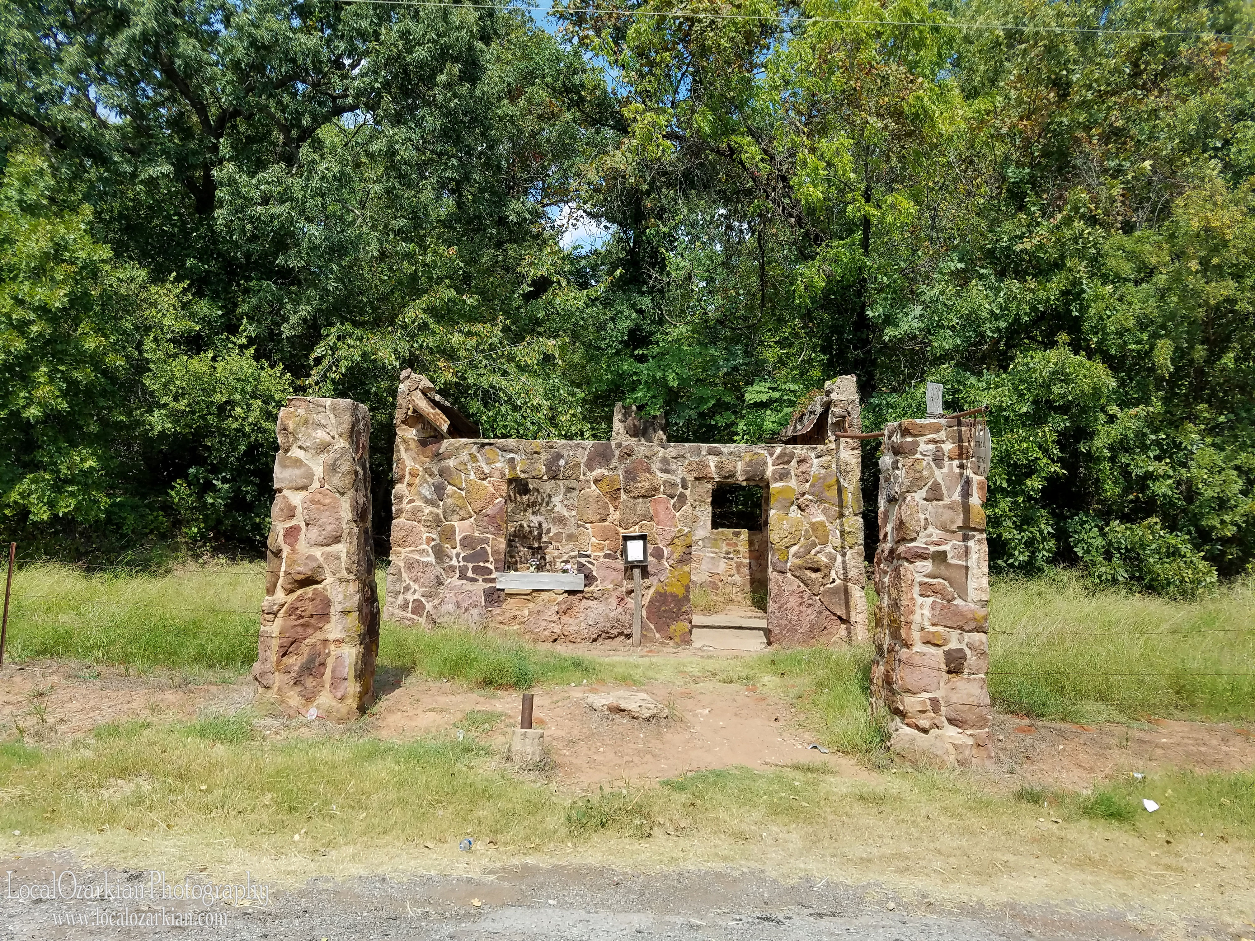
Old Stone Conoco Station "Rock of Ages Farm"
Topographic Map of NE 63rd St, Harrah, OK, USA
Find elevation by address:

Places near NE 63rd St, Harrah, OK, USA:
19300 E Wilshire Blvd
19700 E Wilshire Blvd
19800 E Wilshire Blvd
20000 E Wilshire Blvd
22000 E Wilshire Blvd
20000 E Wilshire Blvd
22000 E Wilshire Blvd
Horseshoe Lake
15515 Champions Glen
N Triple X Rd, Luther, OK, USA
Jones
9613 N Hiwassee Rd
12100 N Anderson Rd
12100 N Anderson Rd
334423 960 Rd
Oklahoma County
N 5th St, Arcadia, OK, USA
Arcadia
Northeast Oklahoma City
Recent Searches:
- Elevation of Corso Fratelli Cairoli, 35, Macerata MC, Italy
- Elevation of Tallevast Rd, Sarasota, FL, USA
- Elevation of 4th St E, Sonoma, CA, USA
- Elevation of Black Hollow Rd, Pennsdale, PA, USA
- Elevation of Oakland Ave, Williamsport, PA, USA
- Elevation of Pedrógão Grande, Portugal
- Elevation of Klee Dr, Martinsburg, WV, USA
- Elevation of Via Roma, Pieranica CR, Italy
- Elevation of Tavkvetili Mountain, Georgia
- Elevation of Hartfords Bluff Cir, Mt Pleasant, SC, USA