Elevation of NE 40th Ave, Vancouver, WA, USA
Location: United States > Washington > Clark County > Vancouver > Pleasant Valley >
Longitude: -122.63004
Latitude: 45.7417191
Elevation: 78m / 256feet
Barometric Pressure: 100KPa
Elevation Map:
Satellite Map:
Related Photos:
GE Diesel Locomotive (Start Up)
Majestic Mt Hood towering over floating homes along Columbia River . . . . #mounthood #floatinghouse #columbiariver #traveloregon #jj_westcoast #jj_oregon #gramkillerz #portlandlife #mthoodterritory #columbiarivergorge #exploreoregon #purplepassport #expl
GO ~ or ~ how you'll stay with me

Pinhole Panoramic
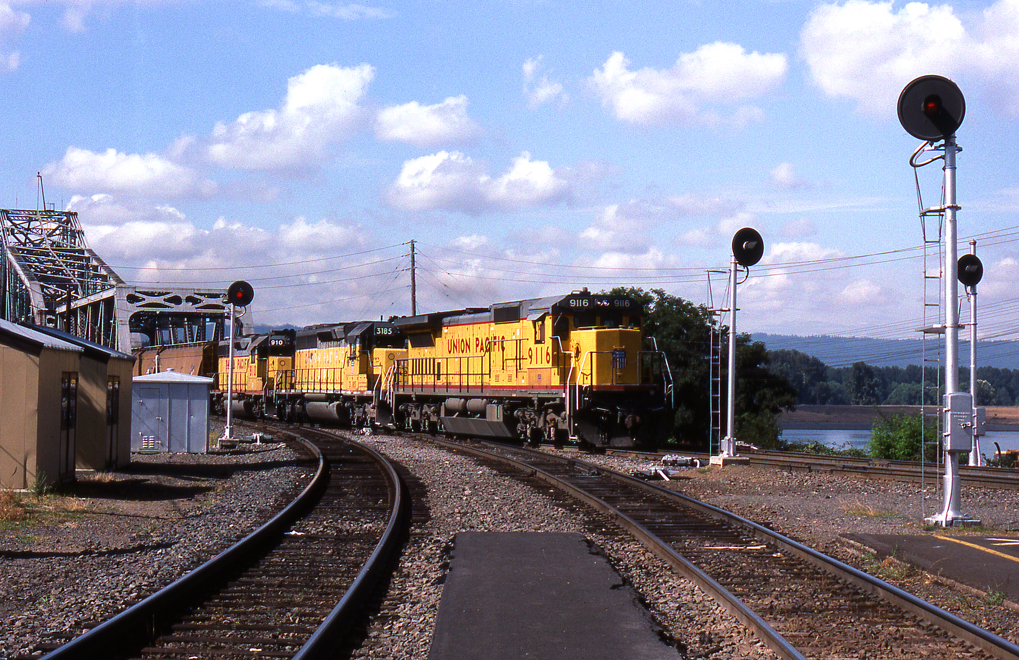
BN #138 @ Vancouver - 2
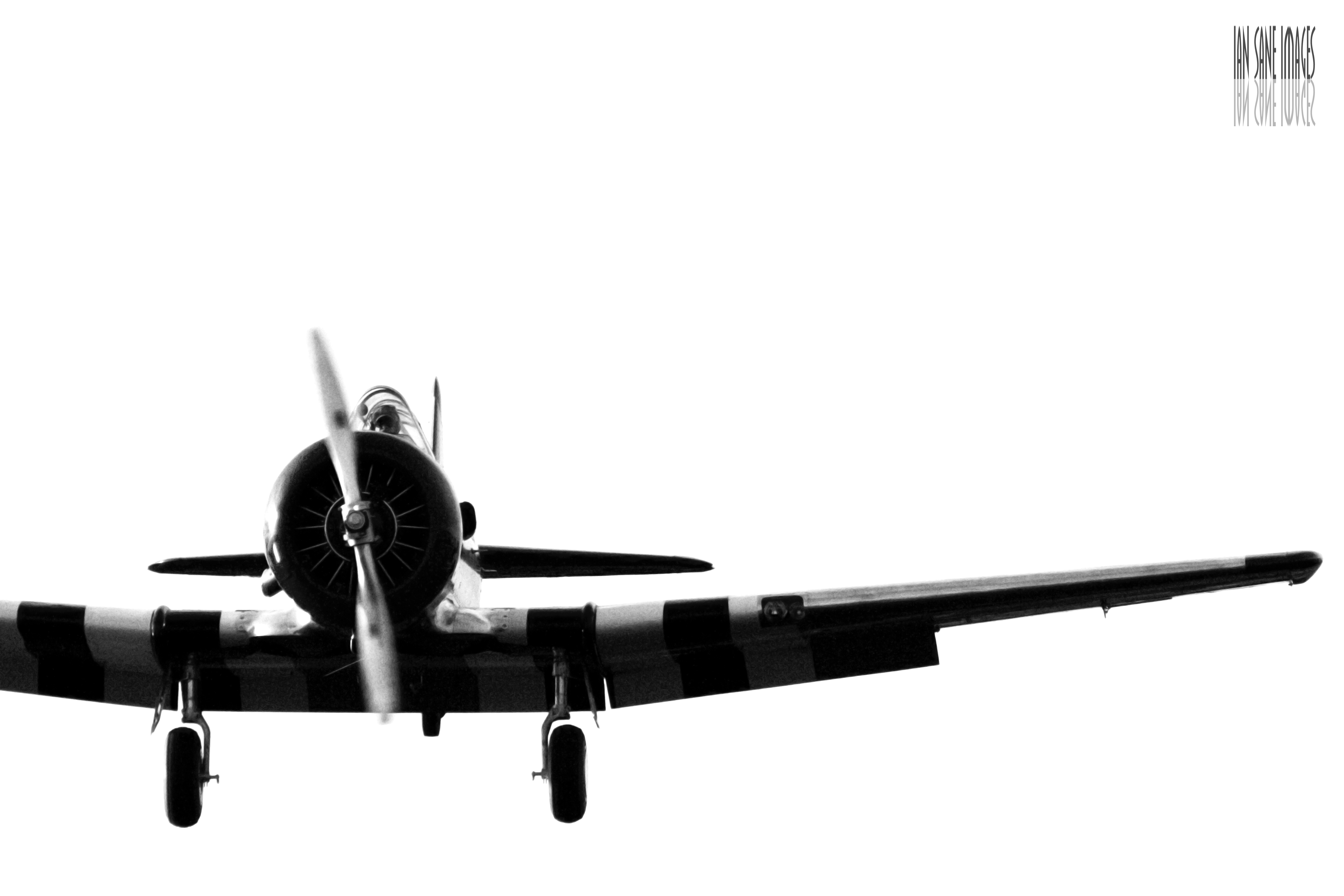
A Straight-On View
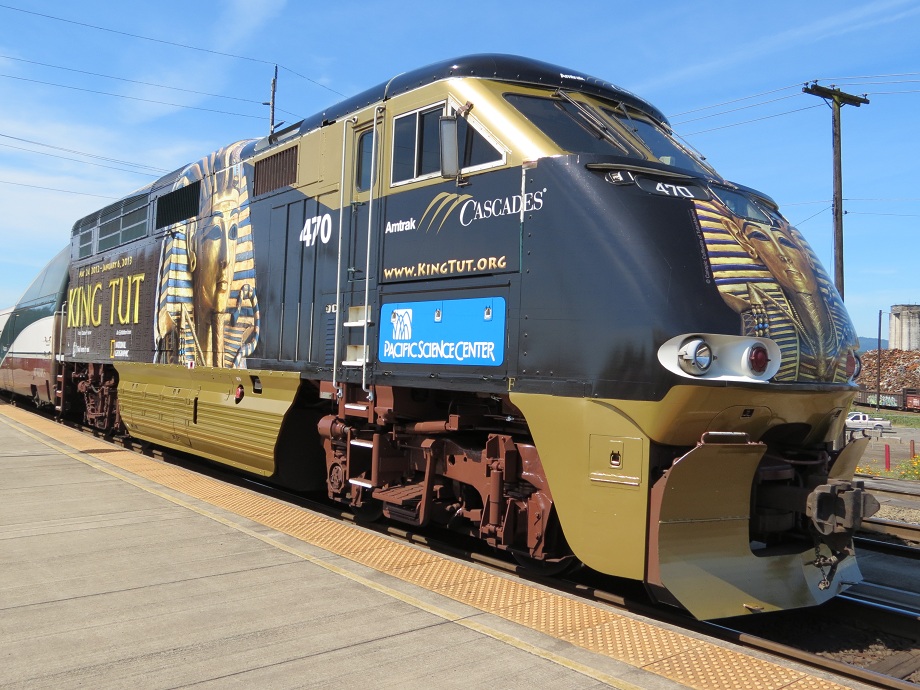
Amtrak 470 King Tut

Scaly Wood Mushroom (Explore 11/3/13)

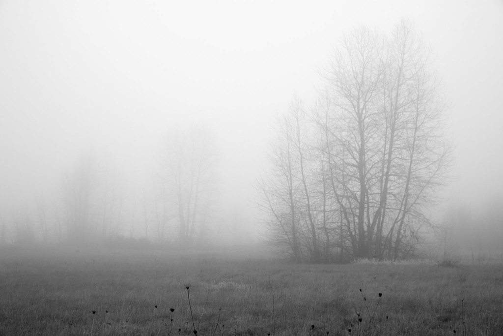
From out of the Fog..
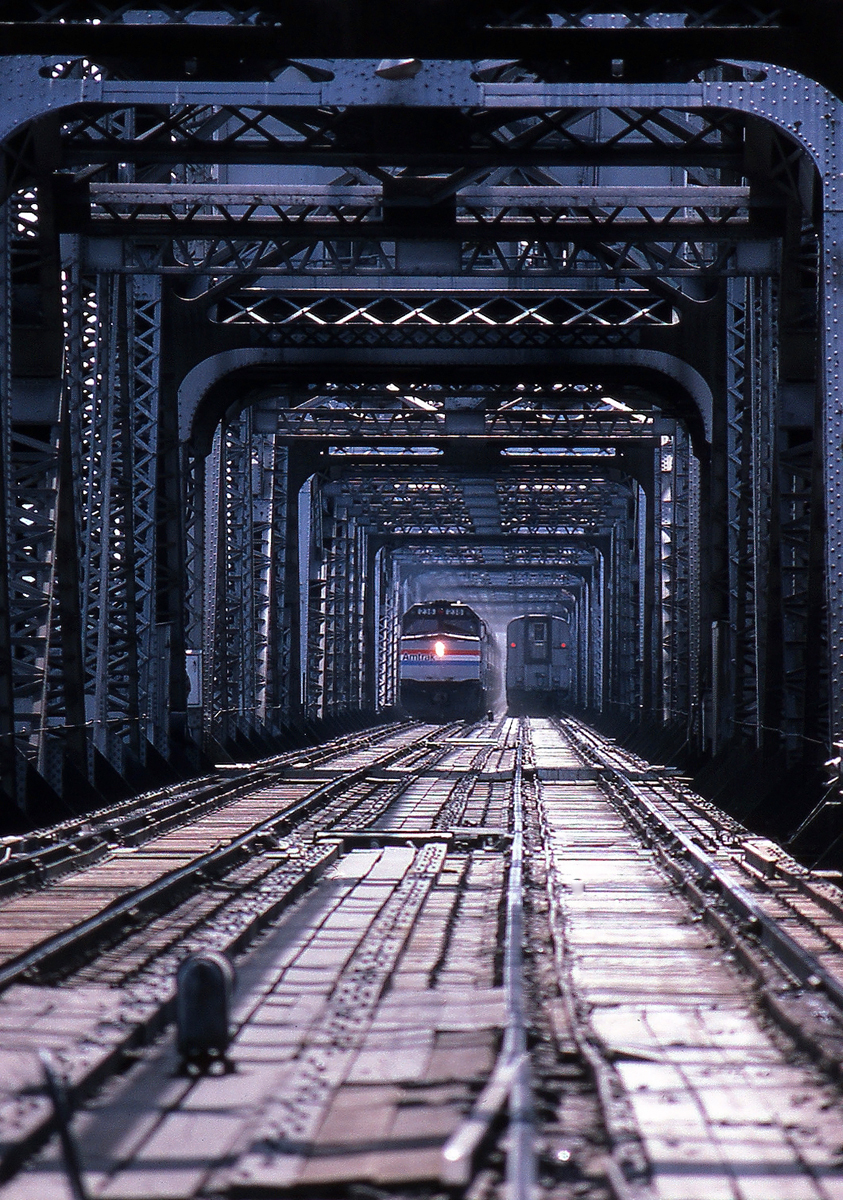
Coming and Going

Hooded Mergansers in the Spotlight
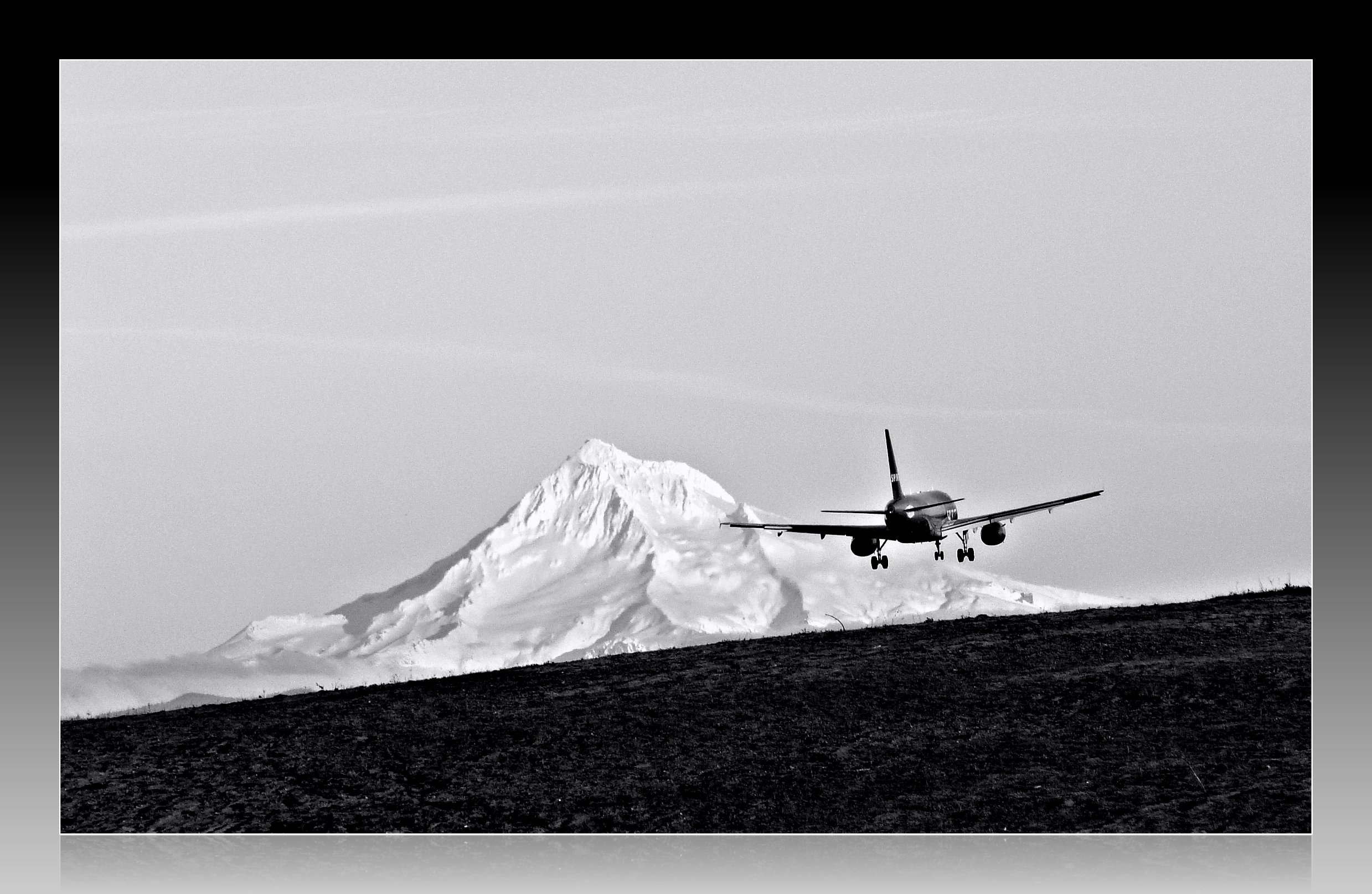
Leavin' on a Jet Plane

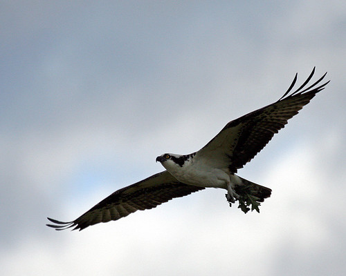
Out on a Limb
Time to make the Nest
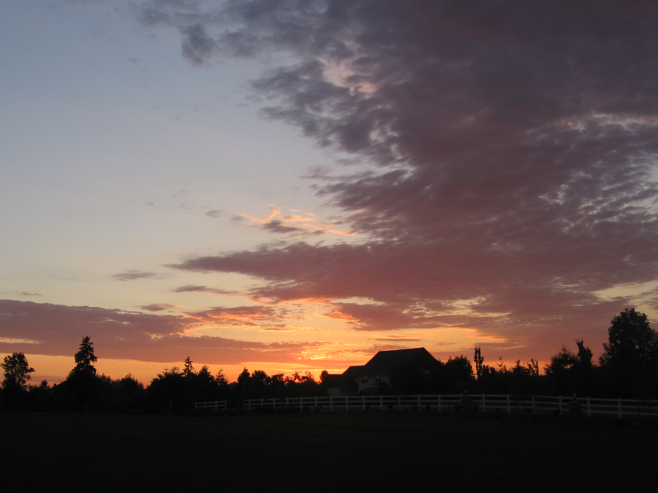
Home Sunset 2
Smith and Bybee lakes
Seattle Bound Amongst the Searchlights
Foggy Night

Meet Tim

Just Saying

Doing My Own Pedicure

Forest fire

Days like this
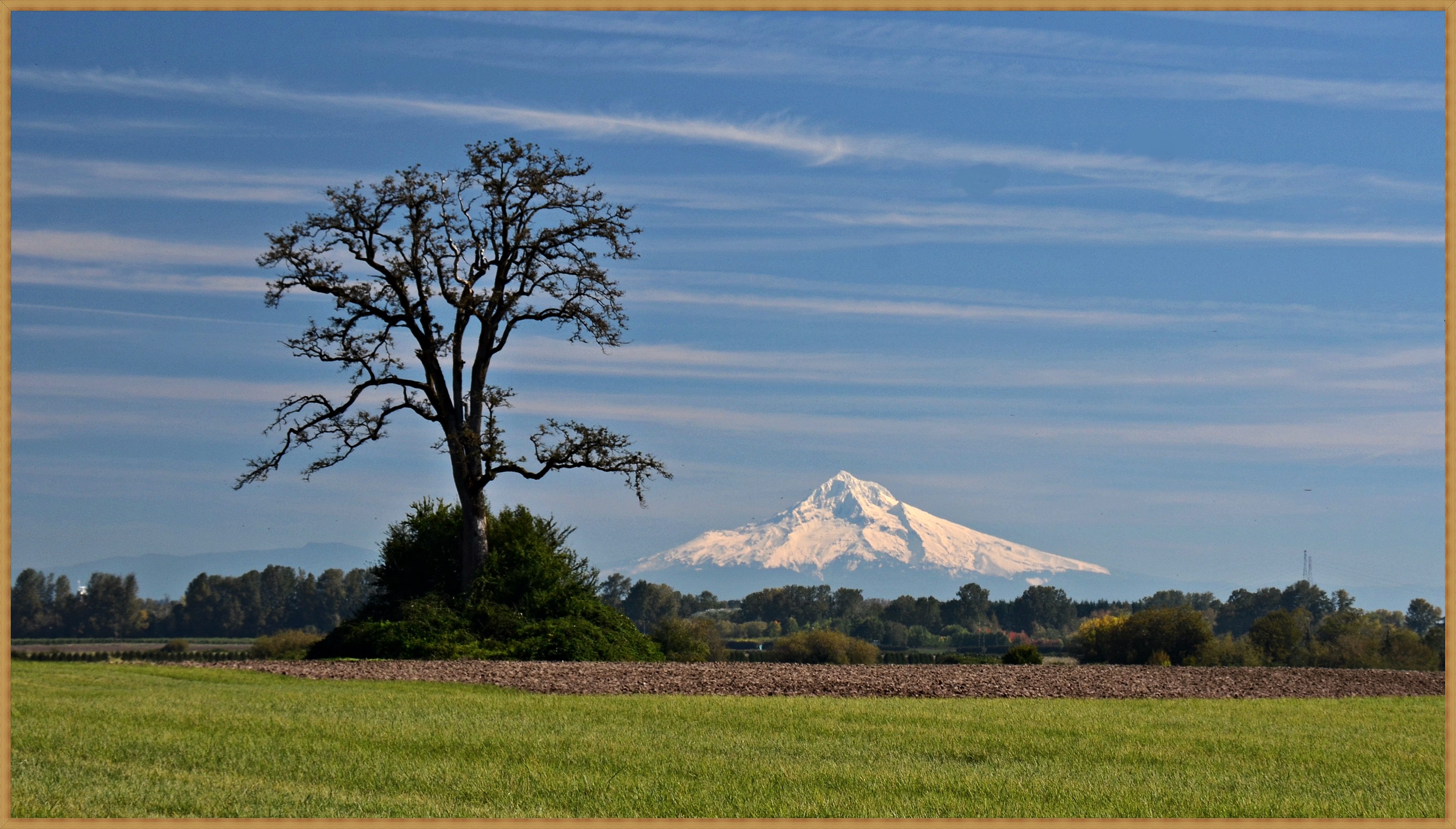
Mount Hood from Sauvie Island 10 5 2013
La Niña winter in Portland – ice on seasonal pond between Smith and Bybee Lakes
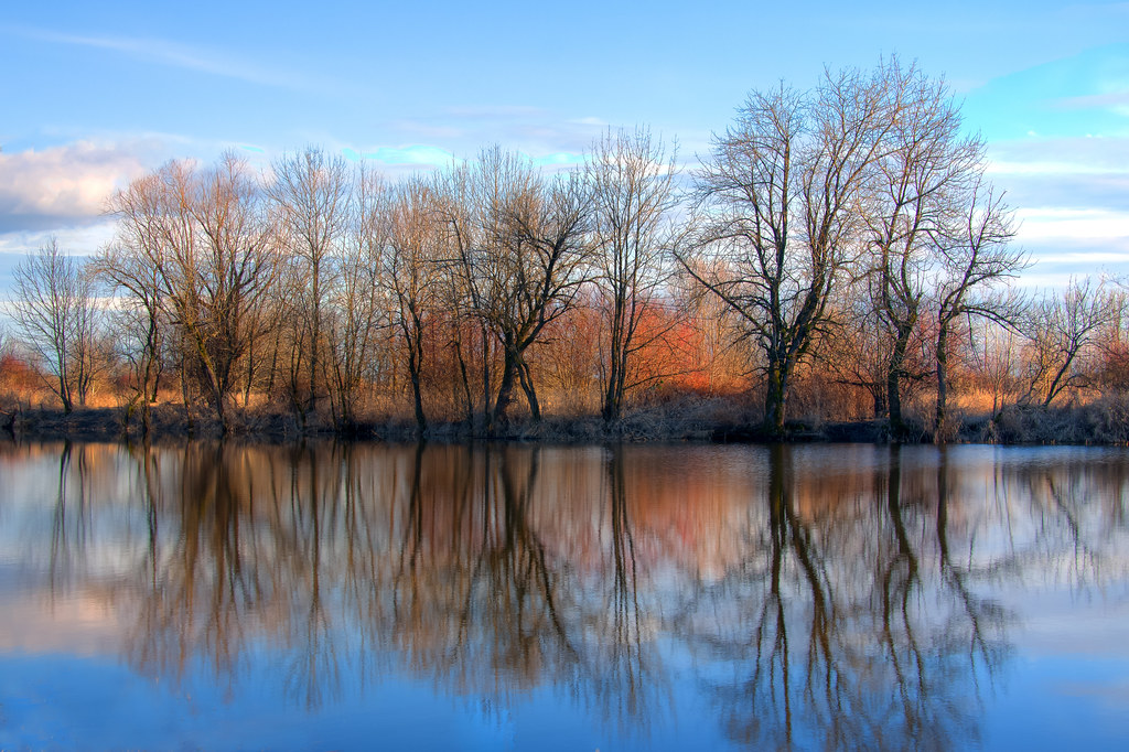
Willamette Left Columbia Right

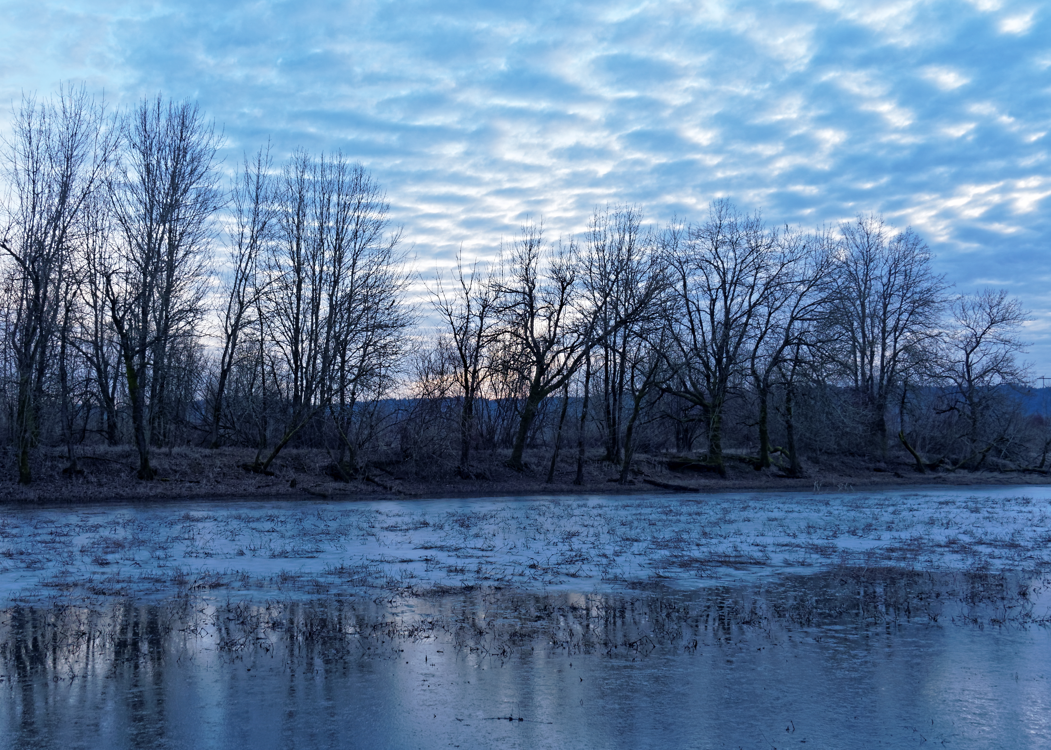
Flooding by Vancouver Lake
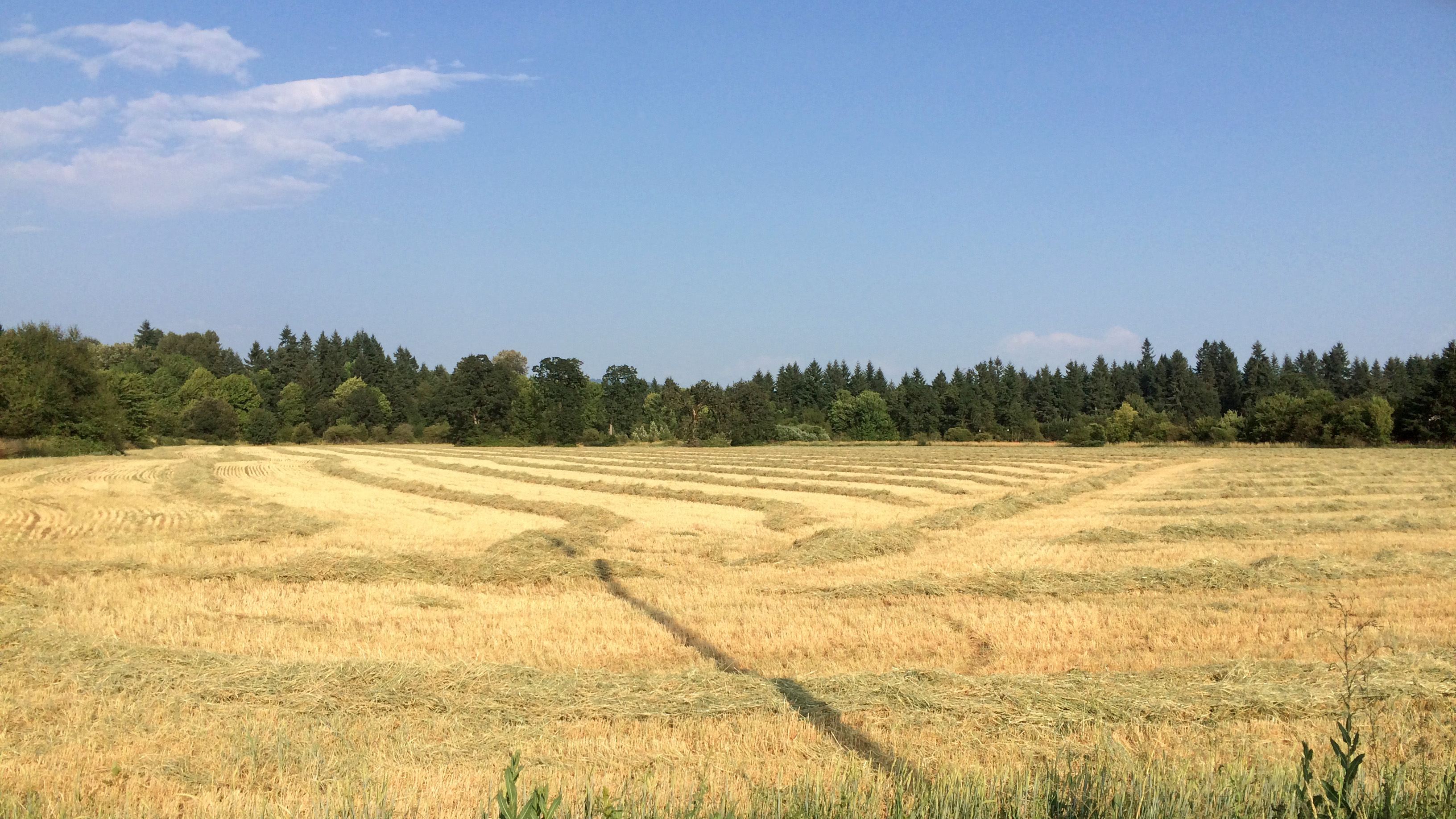
Golden Fields

Snow Geese Landing

Perfect Morning
clearing storm, columbia river

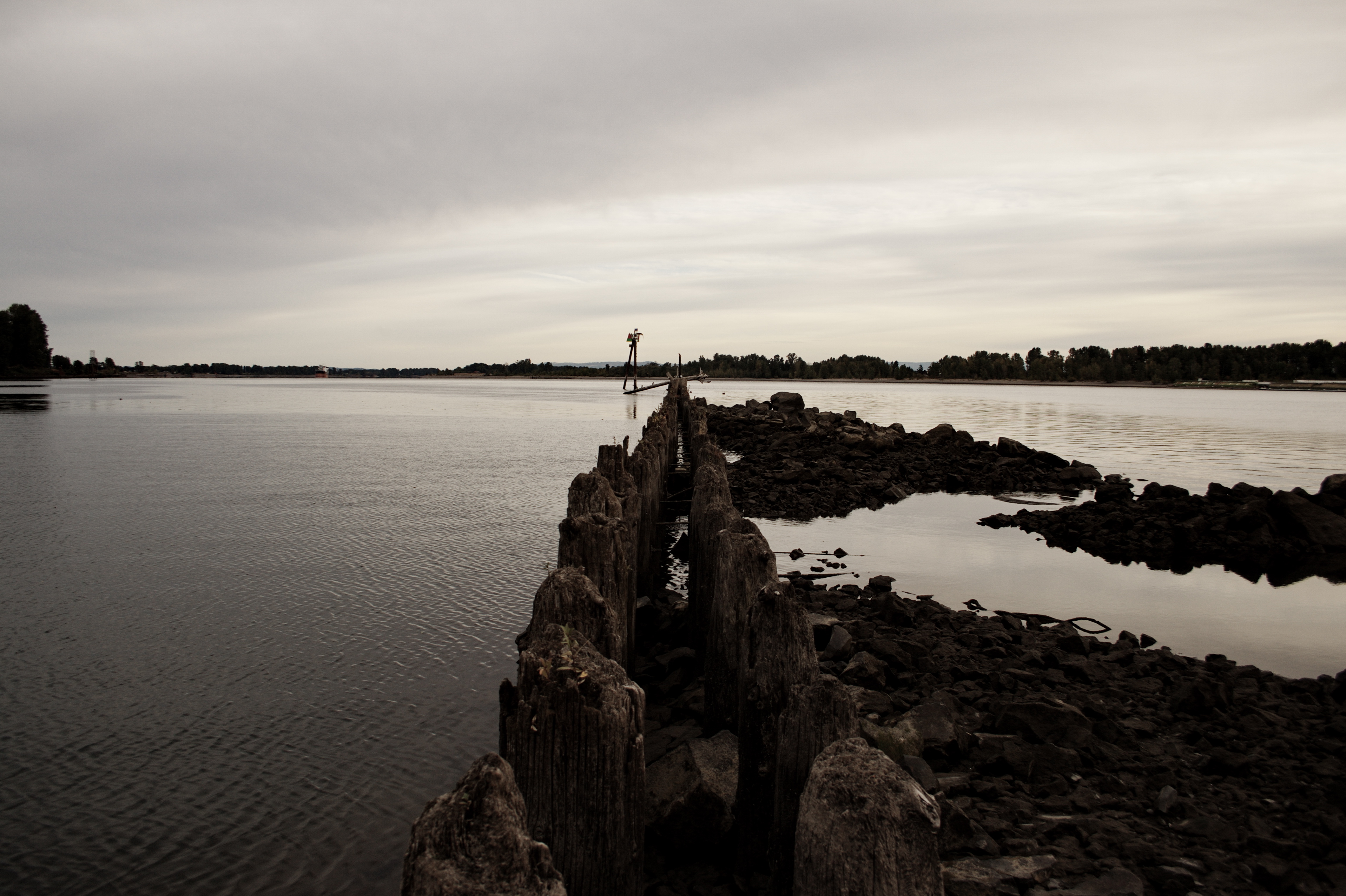
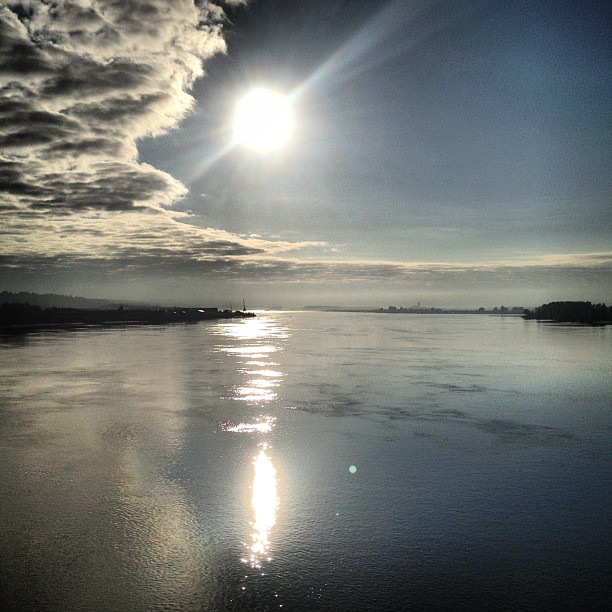
Columbia River
ColumbiaRiver-DC4_0483
Pearson Airfield #sonya6000 #flowers #nature #weaverwrite #beauty #pearsonairport

Colorful Sunset
morning on the Columbia

40 minutes after the flood life had returned to normal

Hidden rivers. #columbiariver #sauviesisland #oregonfromthesky
Sauvie-37
Sauvie island sunsets. Racking up the winter km's after dark. #highcontrast makes them colors pop!
Waiting for Ridgefield
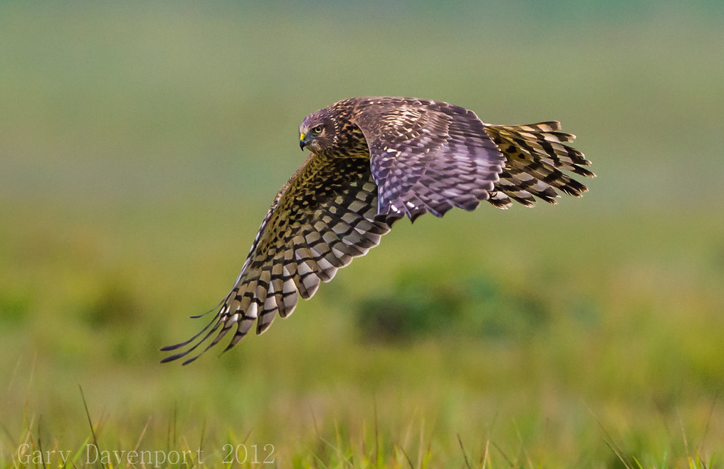
Northern Harrier
Topographic Map of NE 40th Ave, Vancouver, WA, USA
Find elevation by address:

Places near NE 40th Ave, Vancouver, WA, USA:
3804 Ne 160th St
Mount Vista
16201 Ne 31st Ave
15920 Ne 29th Ave
2620 Ne 166th St
17304 Ne 27th Ct
2711 Ne 159th Cir
5112 Ne 146th St
5112 Ne 146th St
Pleasant Valley
17106 Ne 22nd Ave
Vancouver, WA, USA
3713 Ne Corbin Rd
4212 Ne 131st St
2406 Ne 139th St
4905 Ne 134th St
3702 Ne 131st St
13111 Ne 50th Ave
5410 Ne 124th St
5410 Ne 124th St
Recent Searches:
- Elevation of Corso Fratelli Cairoli, 35, Macerata MC, Italy
- Elevation of Tallevast Rd, Sarasota, FL, USA
- Elevation of 4th St E, Sonoma, CA, USA
- Elevation of Black Hollow Rd, Pennsdale, PA, USA
- Elevation of Oakland Ave, Williamsport, PA, USA
- Elevation of Pedrógão Grande, Portugal
- Elevation of Klee Dr, Martinsburg, WV, USA
- Elevation of Via Roma, Pieranica CR, Italy
- Elevation of Tavkvetili Mountain, Georgia
- Elevation of Hartfords Bluff Cir, Mt Pleasant, SC, USA