Elevation of nd Rd, Maple City, KS, USA
Location: United States > Kansas > Cowley County > Spring Creek > Maple City >
Longitude: -96.769131
Latitude: 37.056212
Elevation: 412m / 1352feet
Barometric Pressure: 96KPa
Elevation Map:
Satellite Map:
Related Photos:
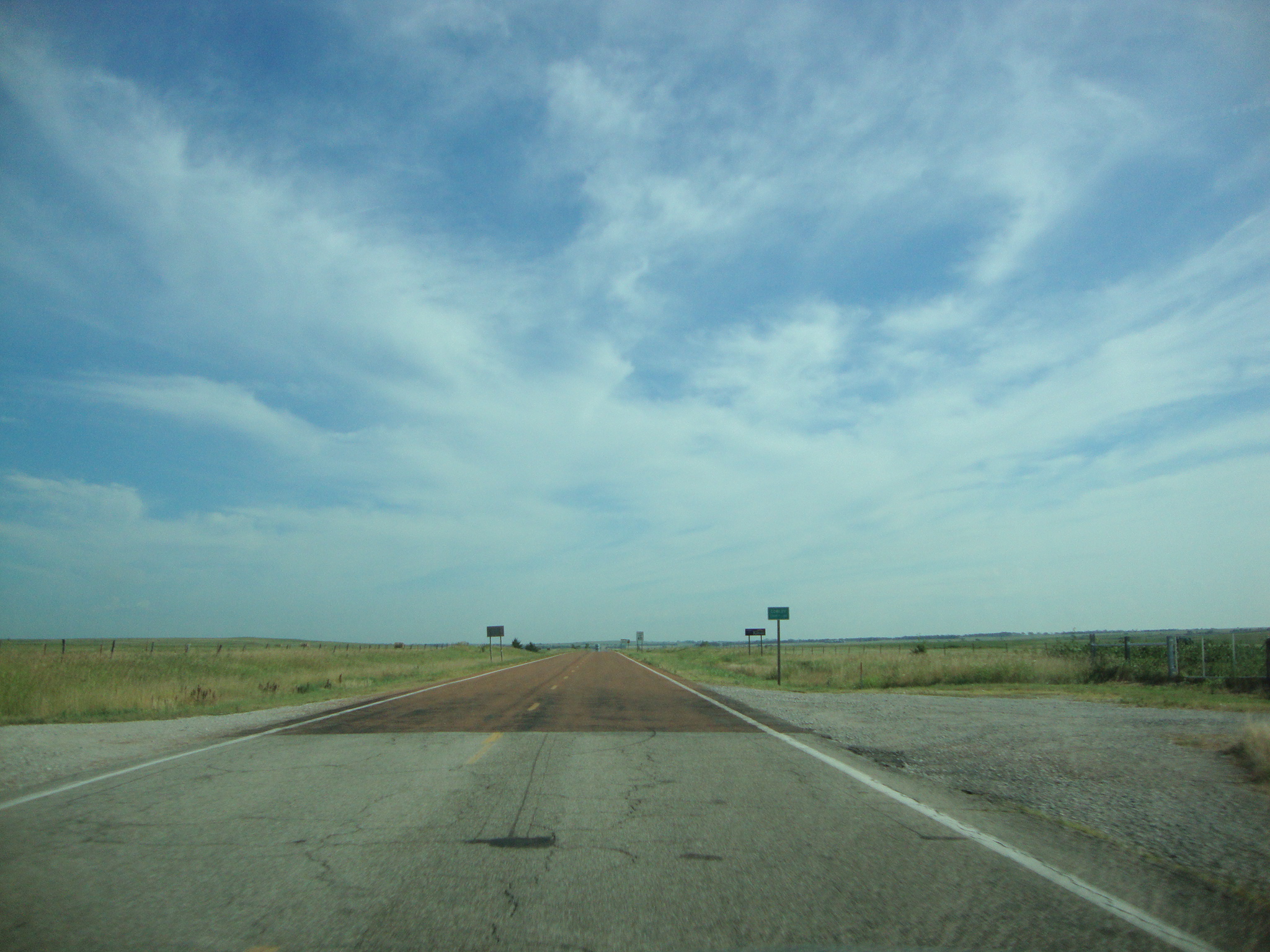
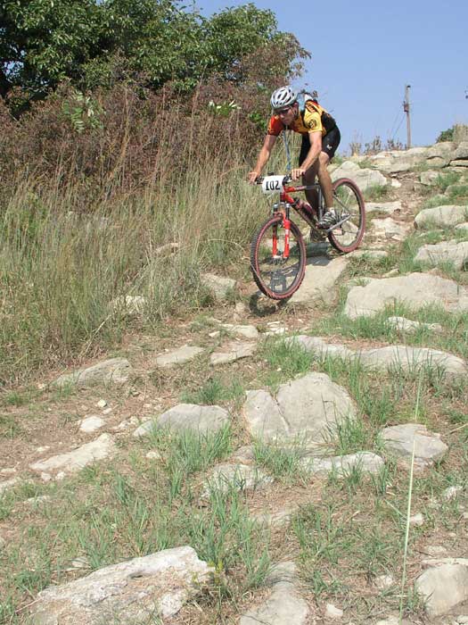
DSC02926
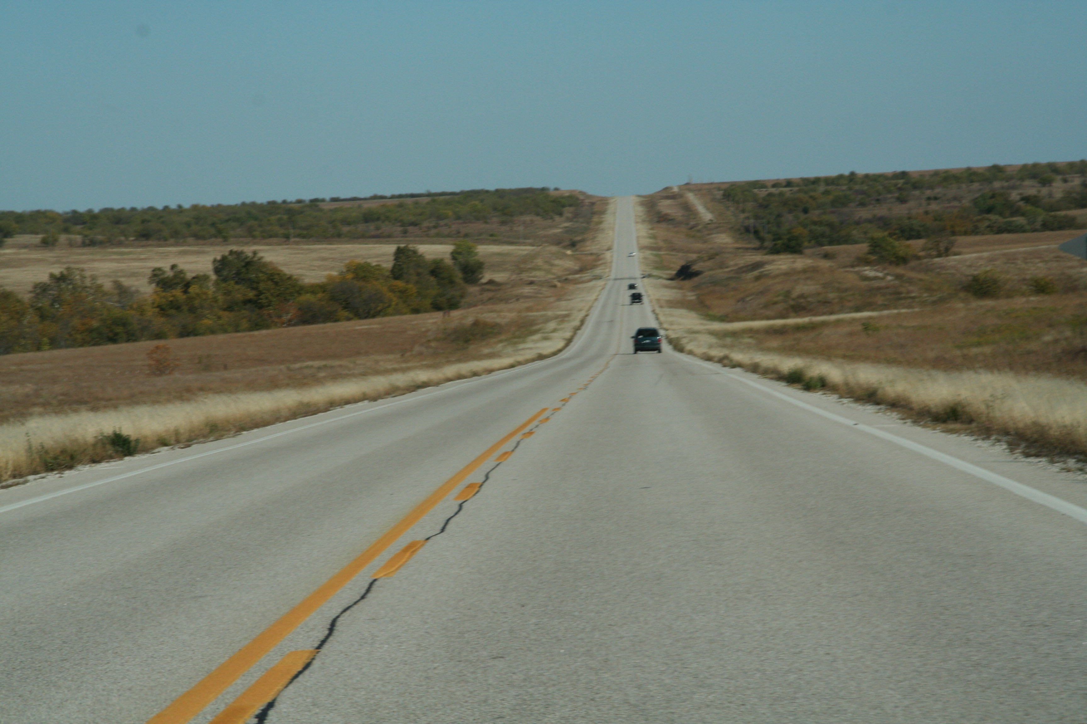
28986
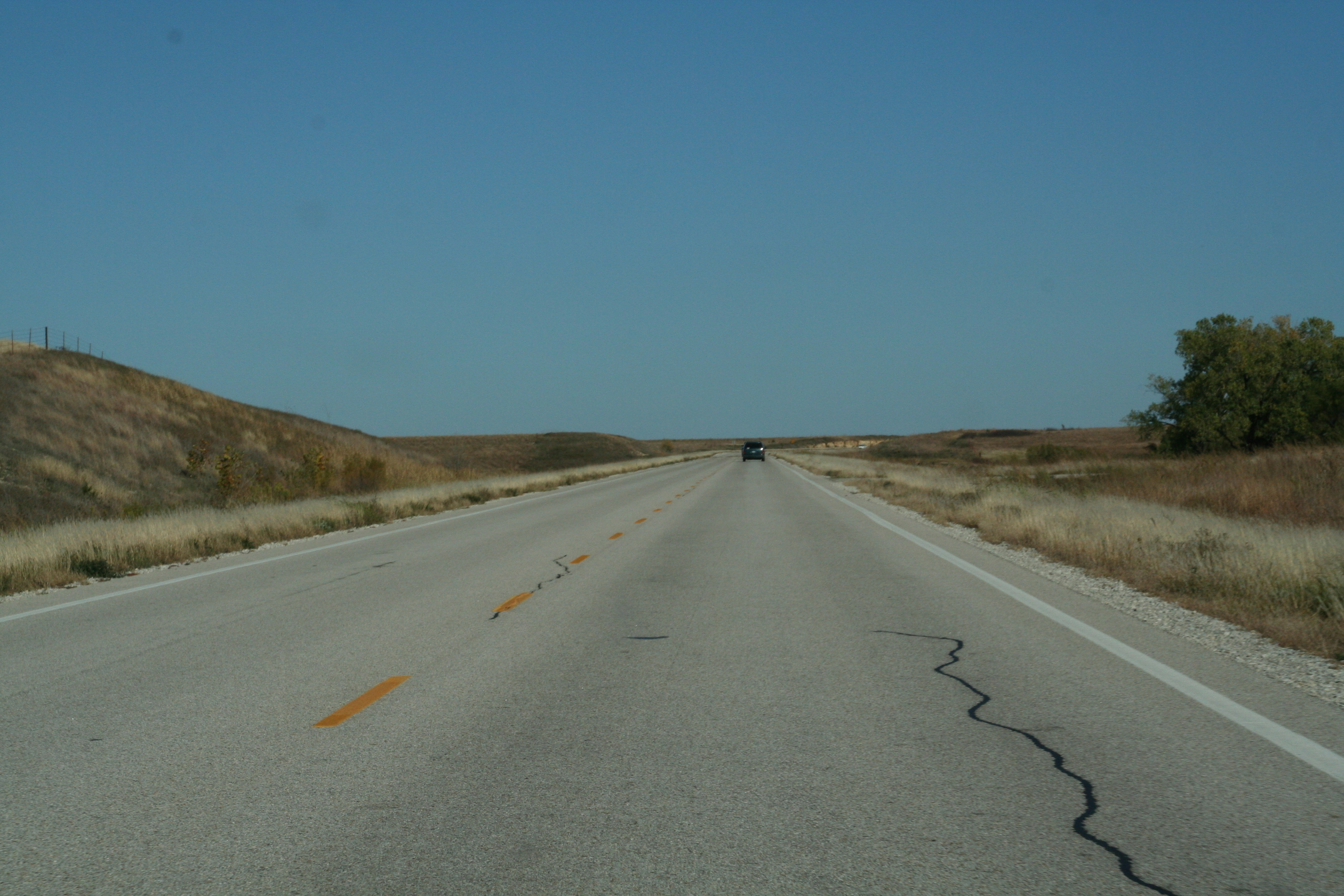
28985
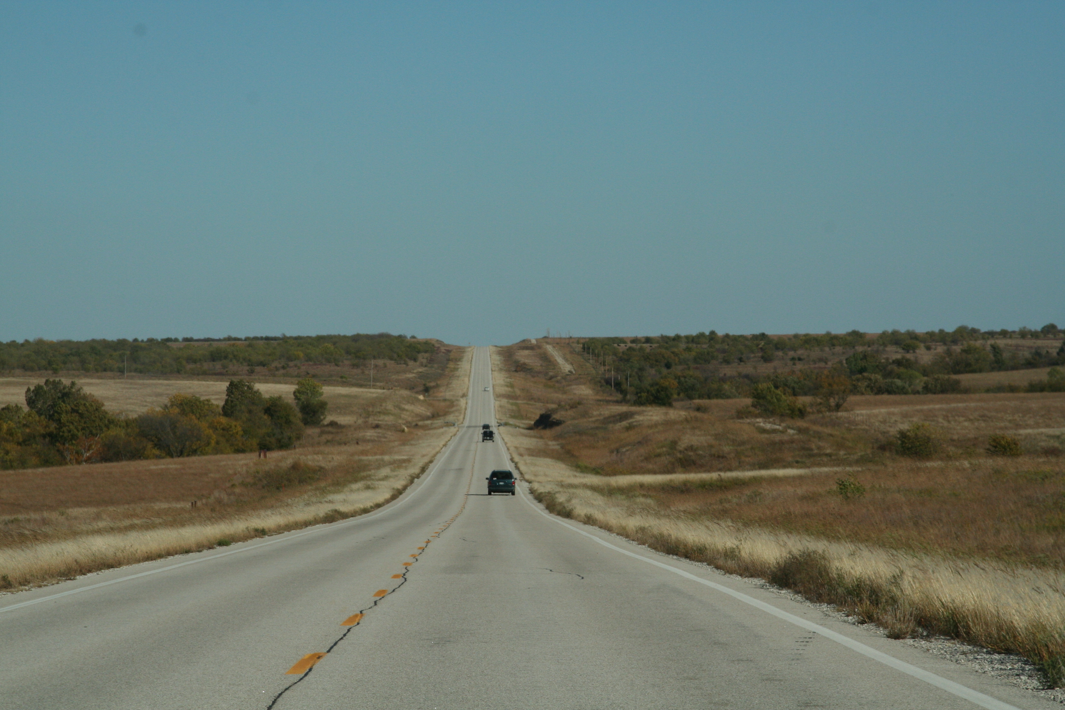
28987
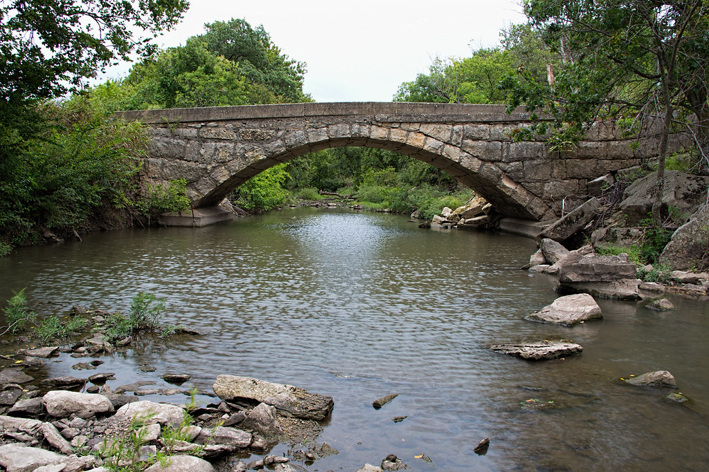
Crabb Creek Bridge
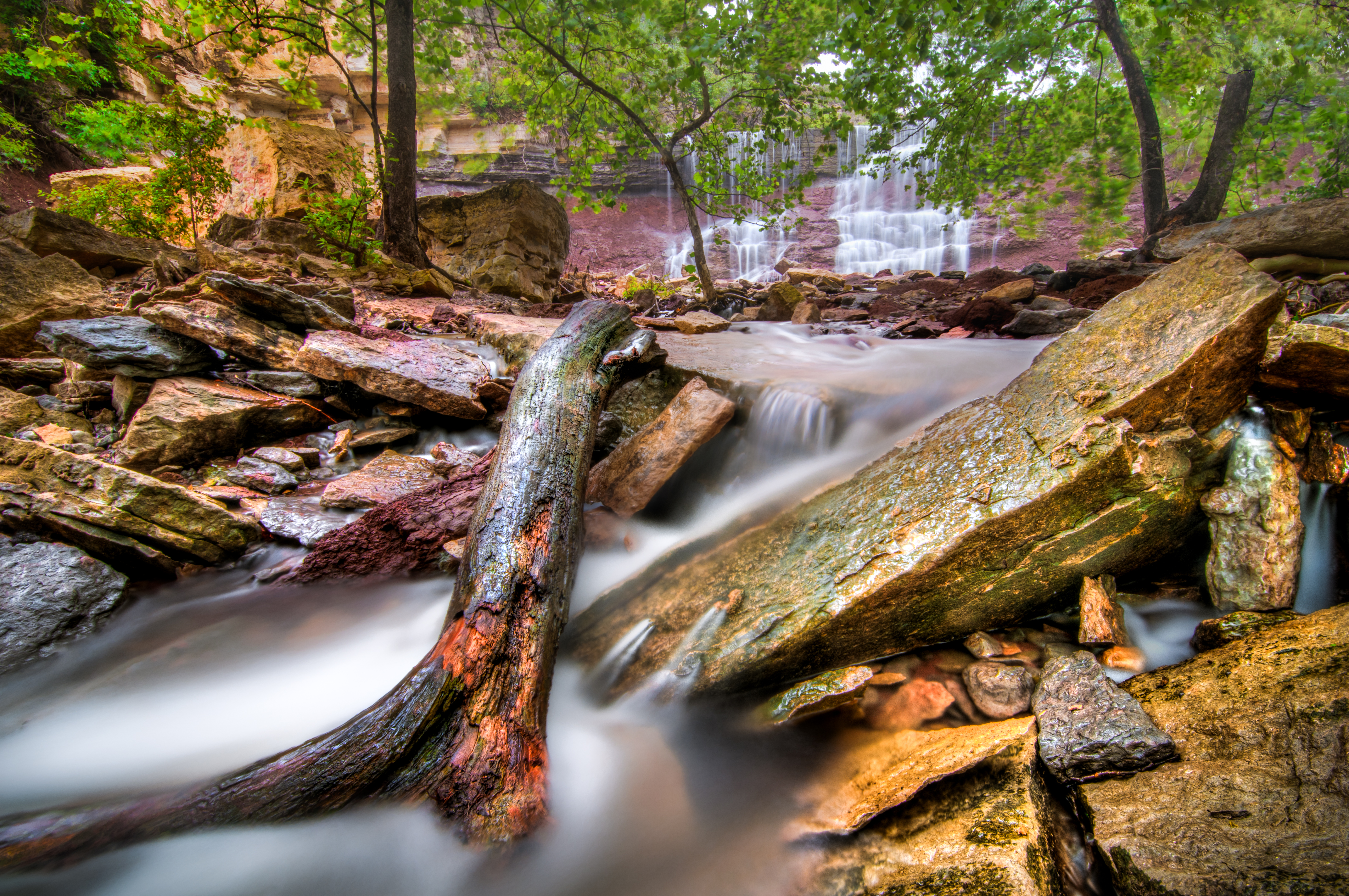
Cowley State Fishing Lake Waterfall
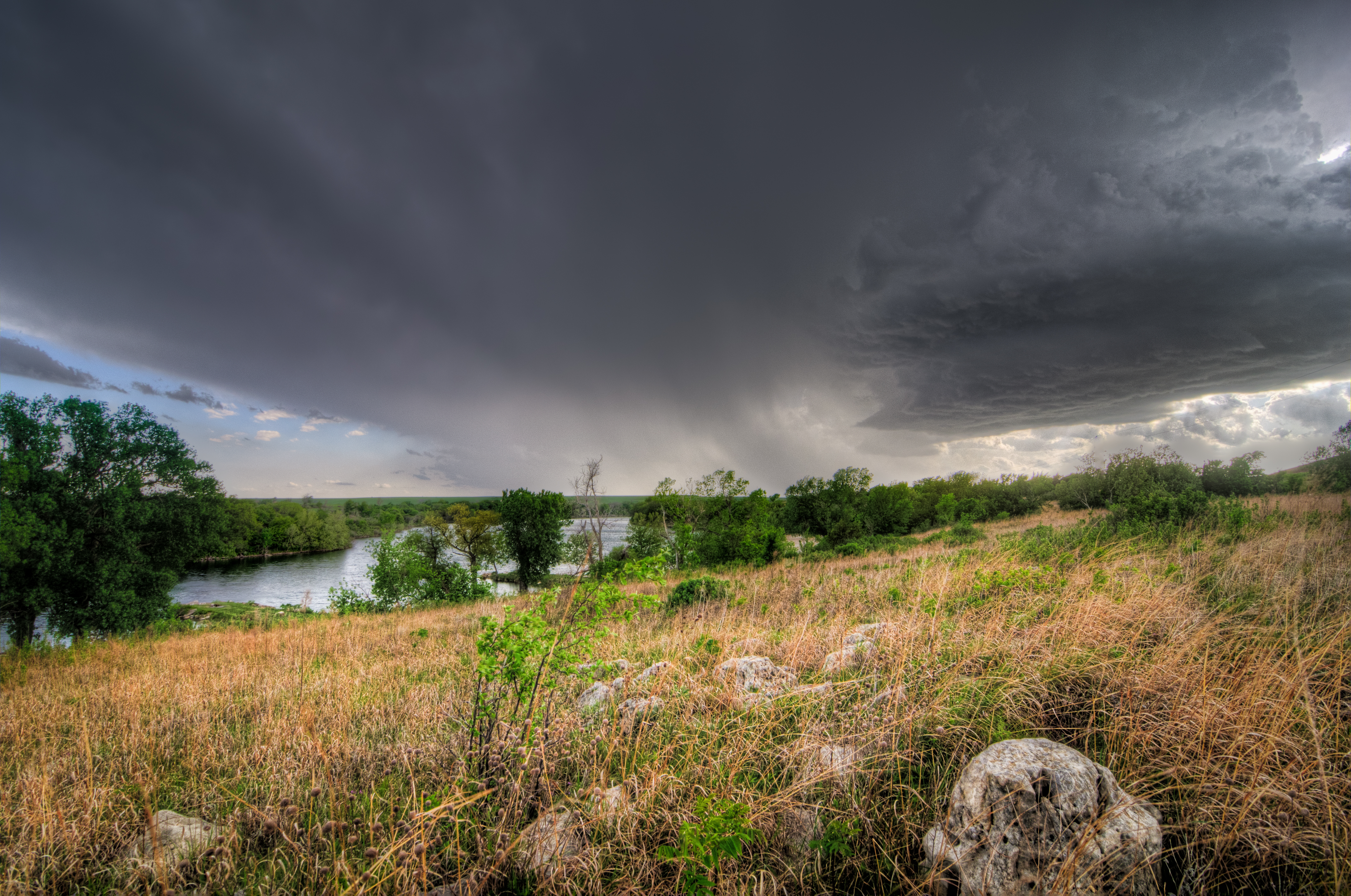
Cowley County Storm
09-12-2004--67
09-12-2004--53
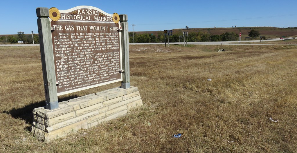
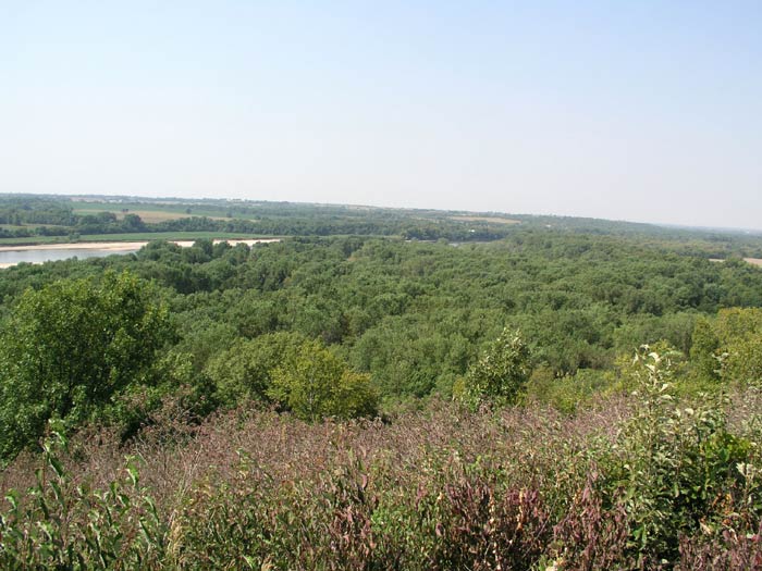
The Gas That Wouldn't Burn Marker and Flint Hills Landscape (Cowley County, Kansas)
Topographic Map of nd Rd, Maple City, KS, USA
Find elevation by address:

Places near nd Rd, Maple City, KS, USA:
Maple City
Spring Creek
th Rd, Dexter, KS, USA
Silverdale
Dexter
Central Ave, Dexter, KS, USA
6th St, Arkansas City, KS, USA
Dexter
st Rd, Dexter, KS, USA
th Rd, Burden, KS, USA
11171 211 Rd
Sheridan
US-, Winfield, KS, USA
Creswell
Tisdale
26129 101st Rd
Pleasant Valley
Otter
Kirk Road
Cedar Vale, KS, USA
Recent Searches:
- Elevation of Corso Fratelli Cairoli, 35, Macerata MC, Italy
- Elevation of Tallevast Rd, Sarasota, FL, USA
- Elevation of 4th St E, Sonoma, CA, USA
- Elevation of Black Hollow Rd, Pennsdale, PA, USA
- Elevation of Oakland Ave, Williamsport, PA, USA
- Elevation of Pedrógão Grande, Portugal
- Elevation of Klee Dr, Martinsburg, WV, USA
- Elevation of Via Roma, Pieranica CR, Italy
- Elevation of Tavkvetili Mountain, Georgia
- Elevation of Hartfords Bluff Cir, Mt Pleasant, SC, USA