Elevation of NC-, Green Mountain, NC, USA
Location: United States > North Carolina > Yancey County > Brush Creek > Green Mountain >
Longitude: -82.333951
Latitude: 36.0578338
Elevation: 695m / 2280feet
Barometric Pressure: 93KPa
Elevation Map:
Satellite Map:
Related Photos:
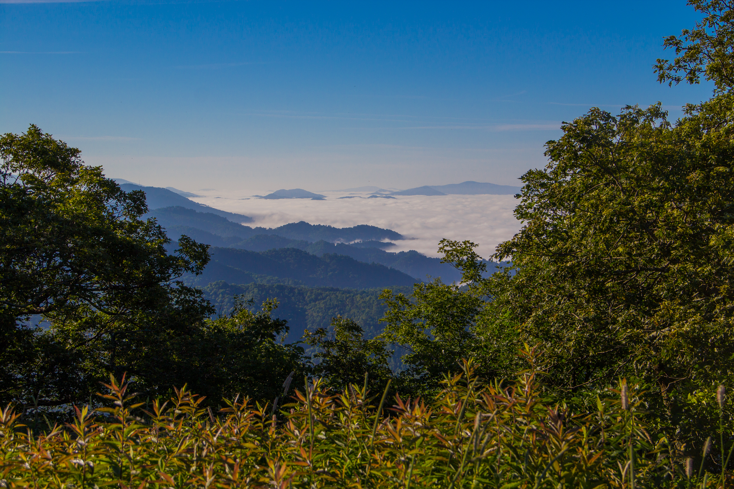
Fog Below Roan Mountain, Pisgah National Forest, North Carolina
Beauty Spot, Appalachian Trail, Cherokee National Forest, Tennessee
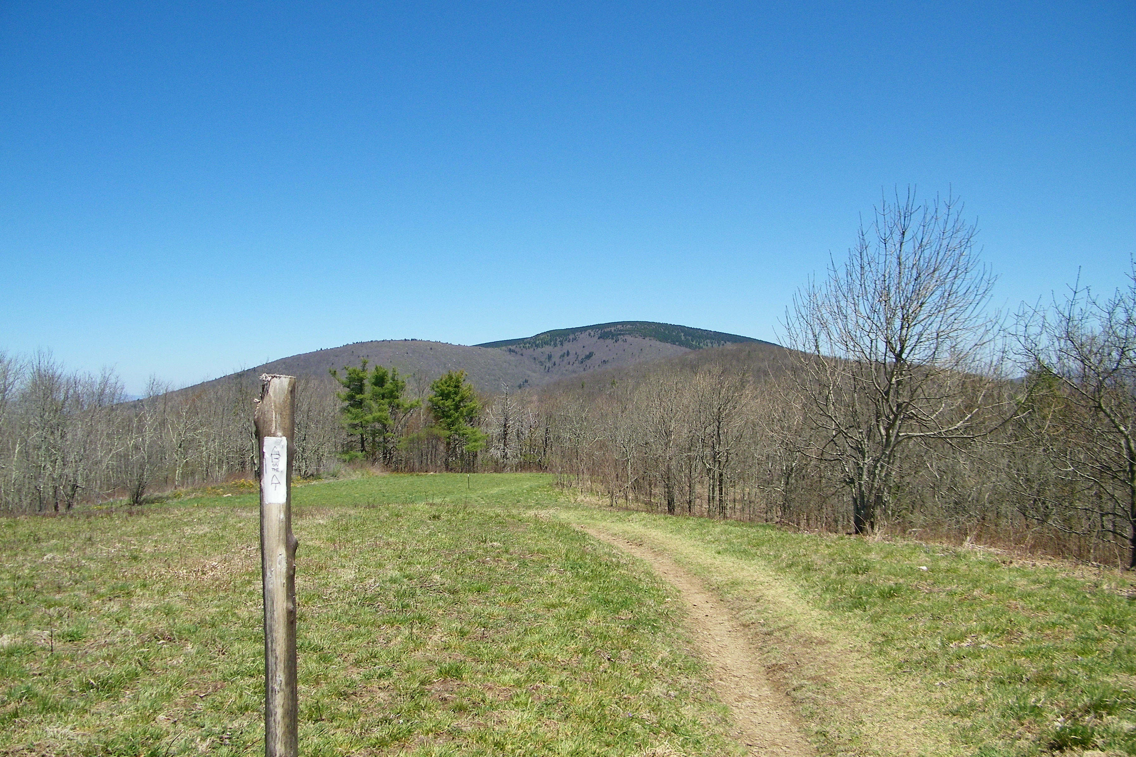
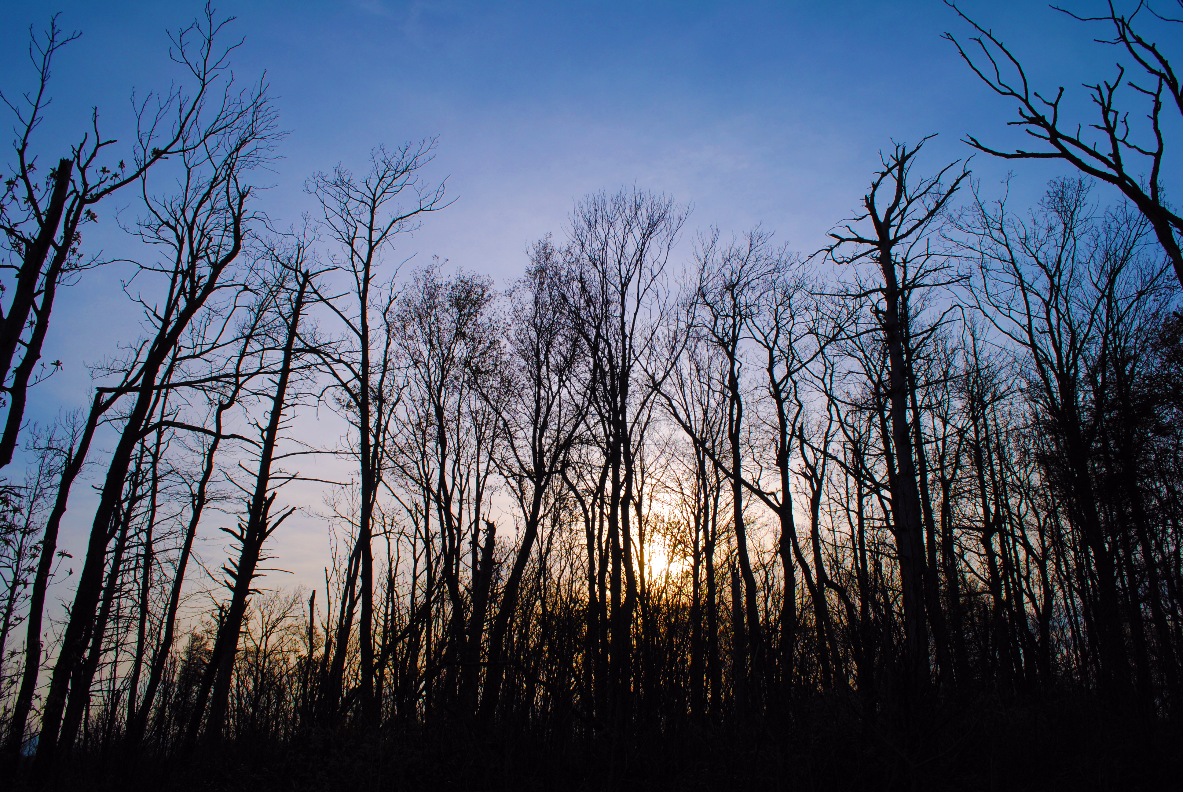
Appalachian Trail

THE MUMMY 3

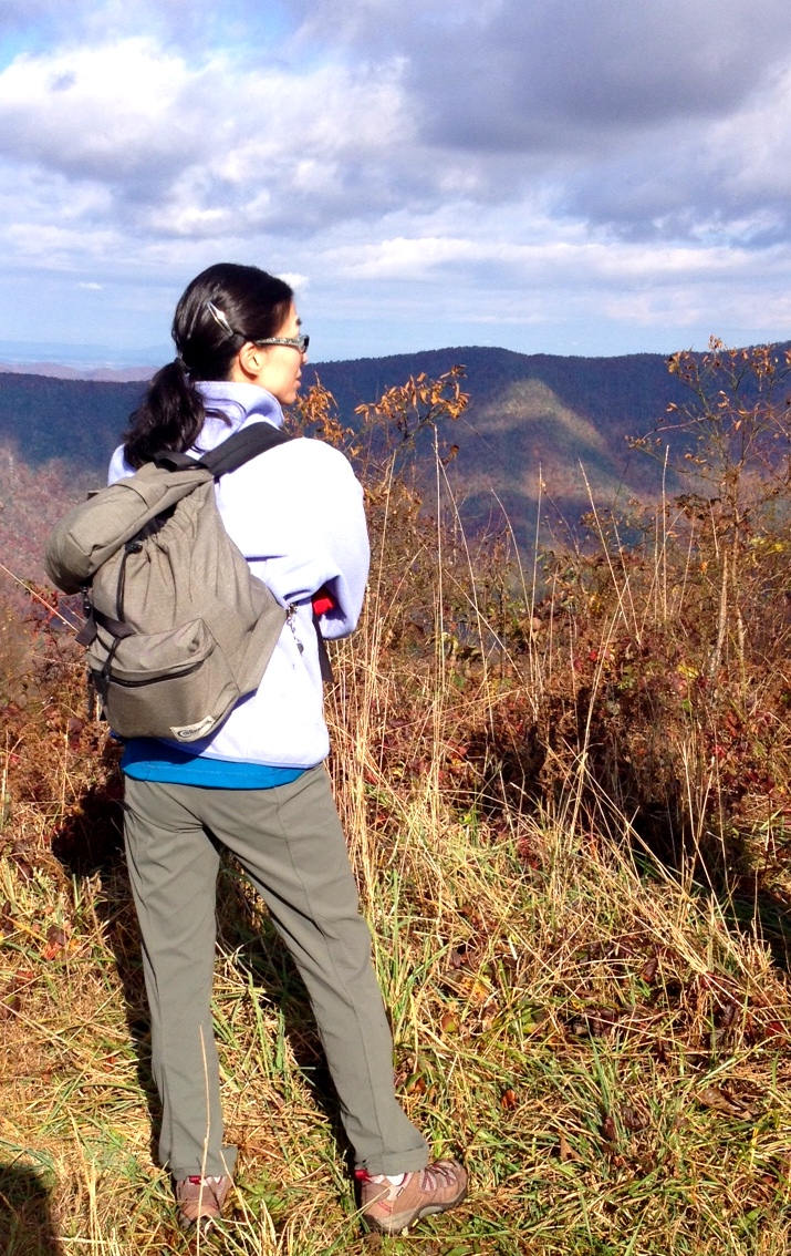
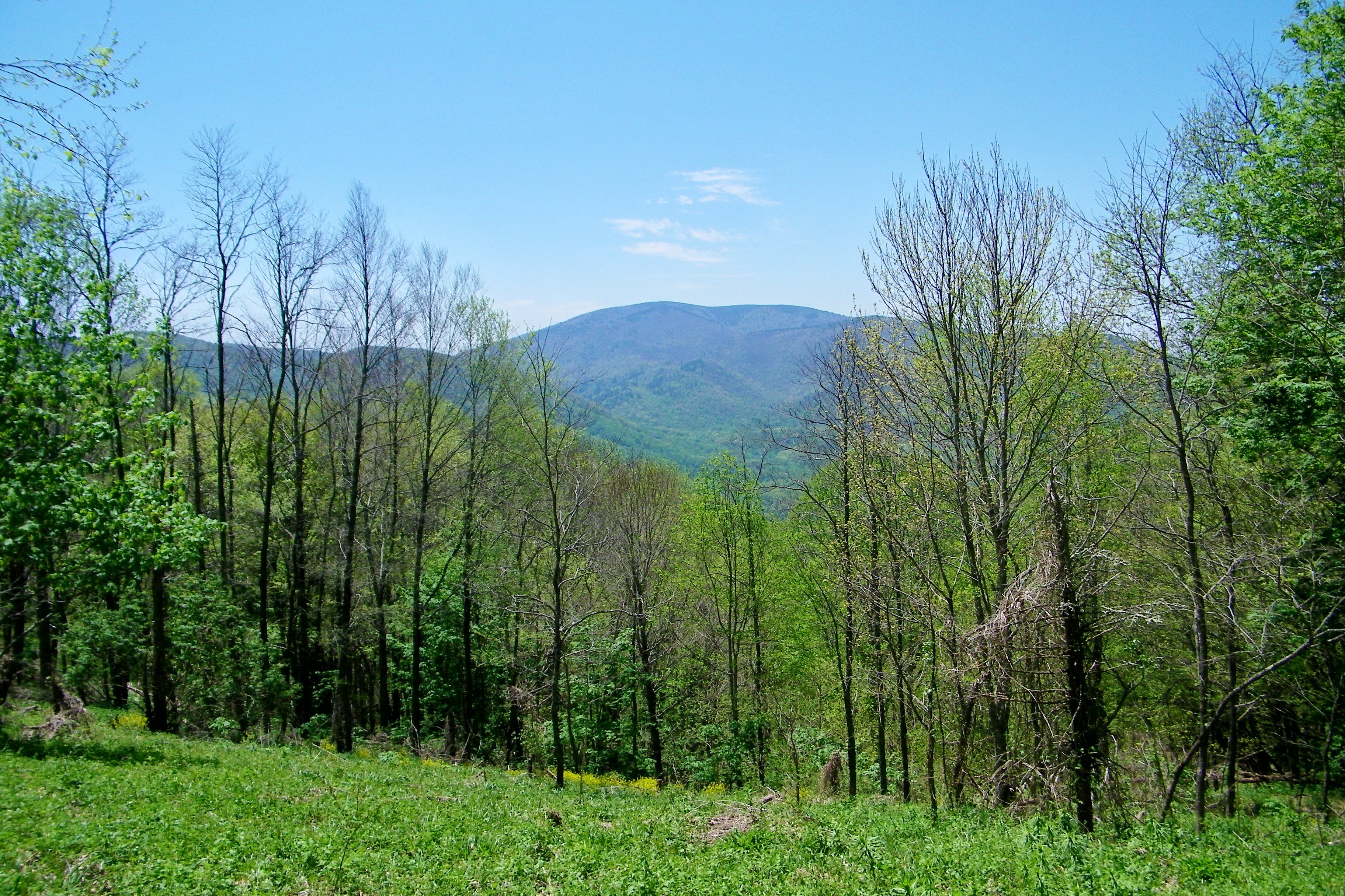
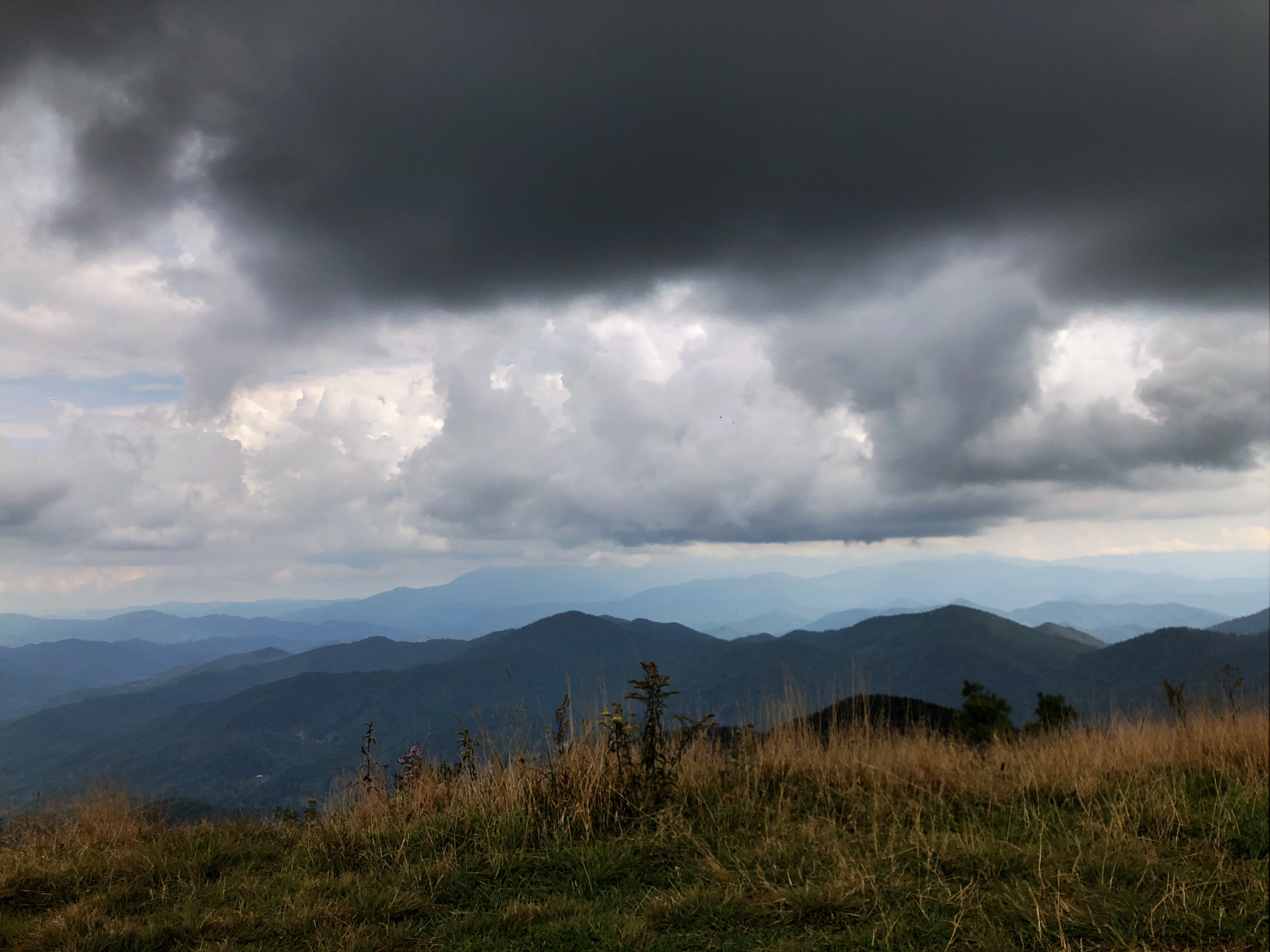
Bald Mountain
View-Top of Lost Cove

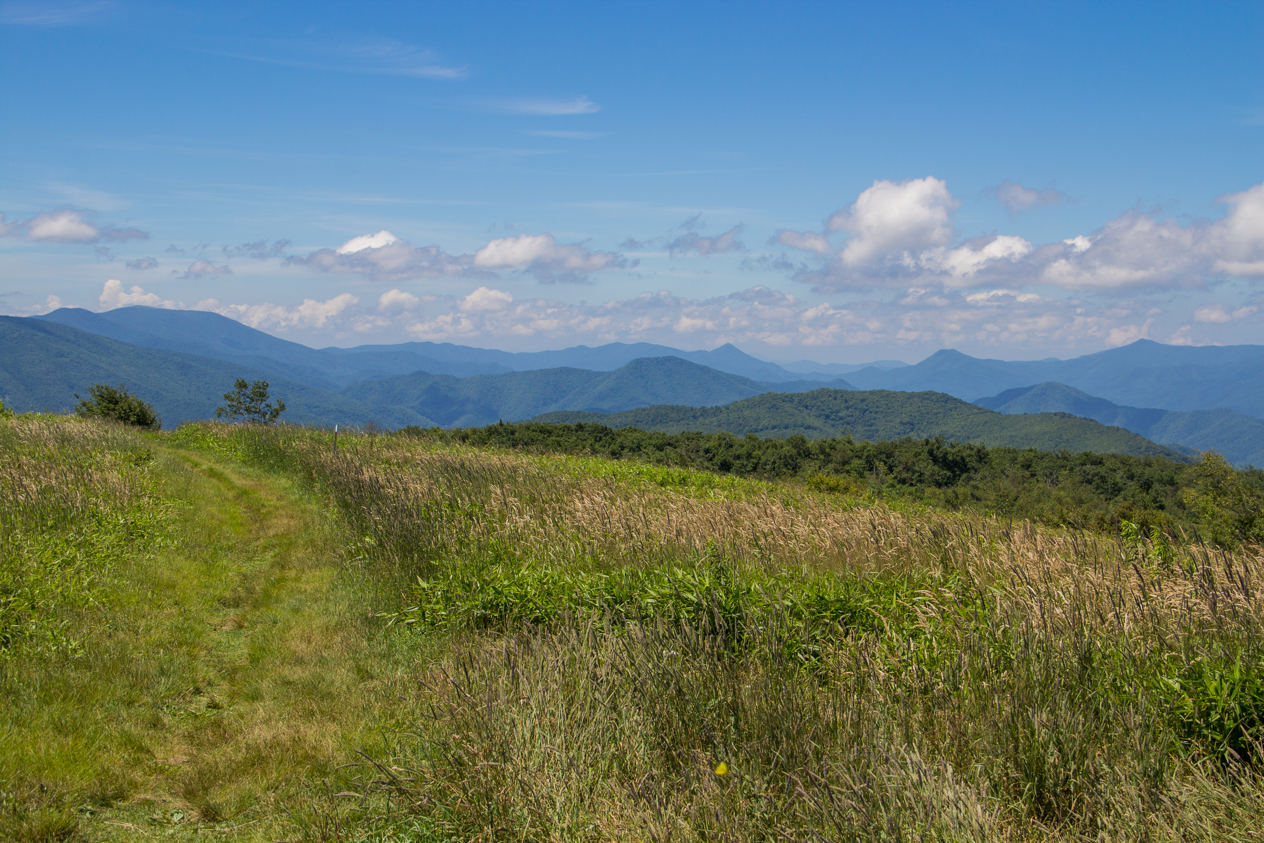
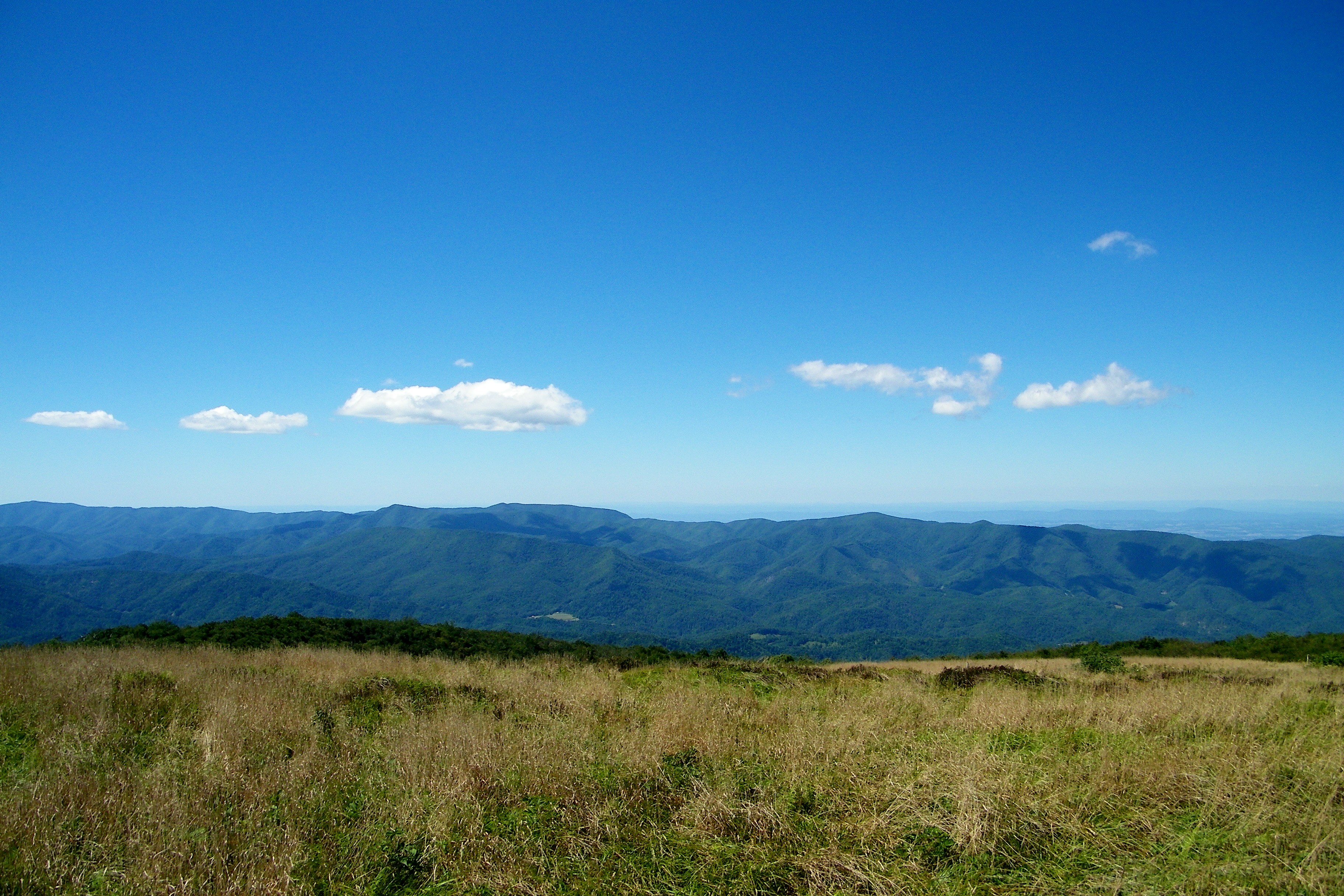
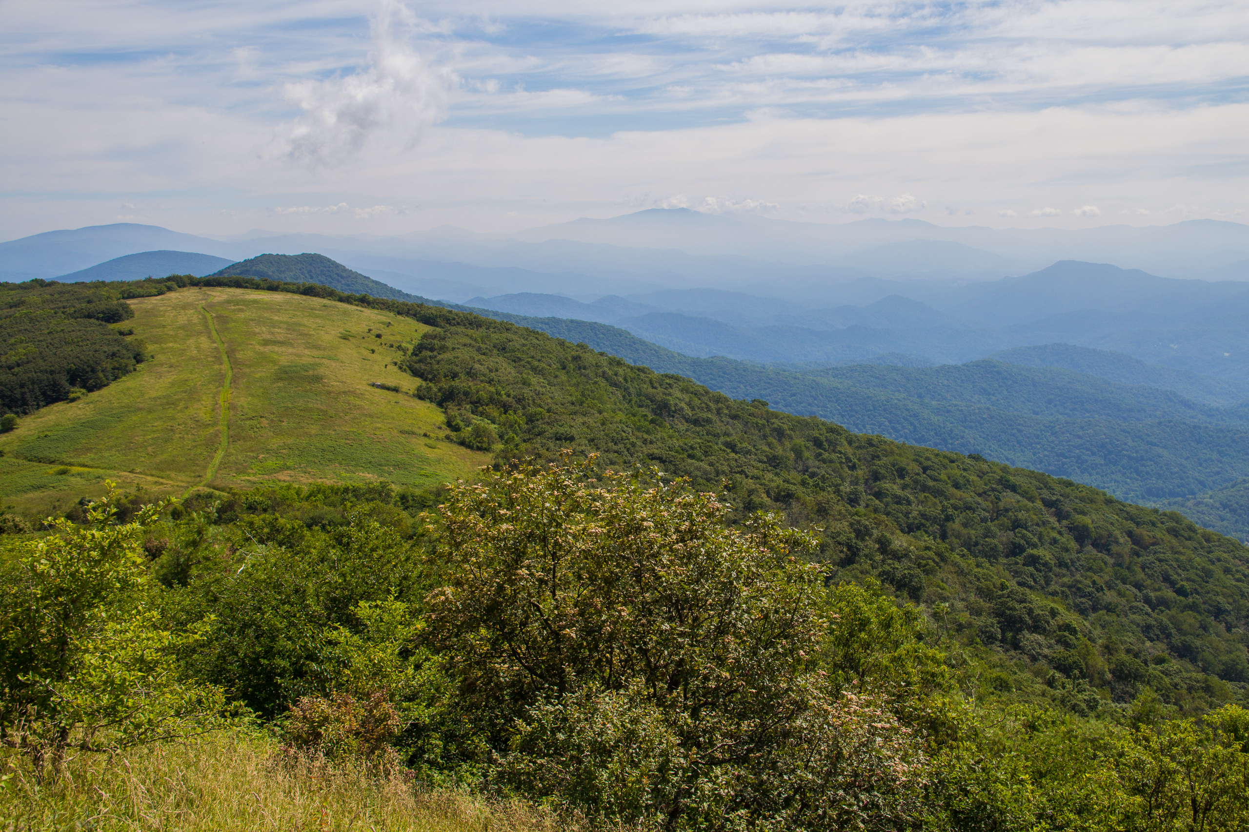
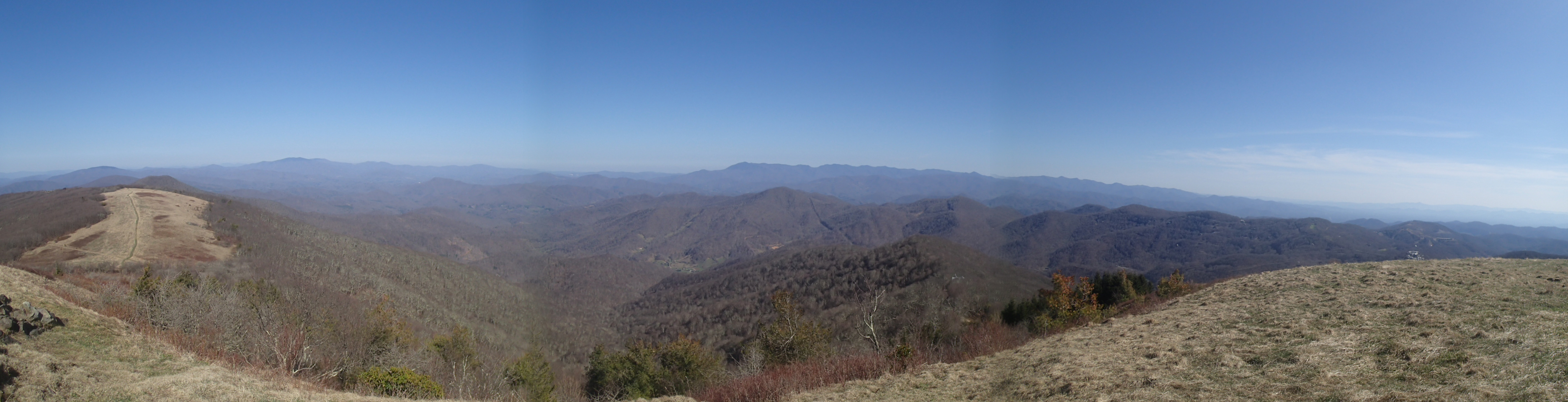
View from Beauty Spot
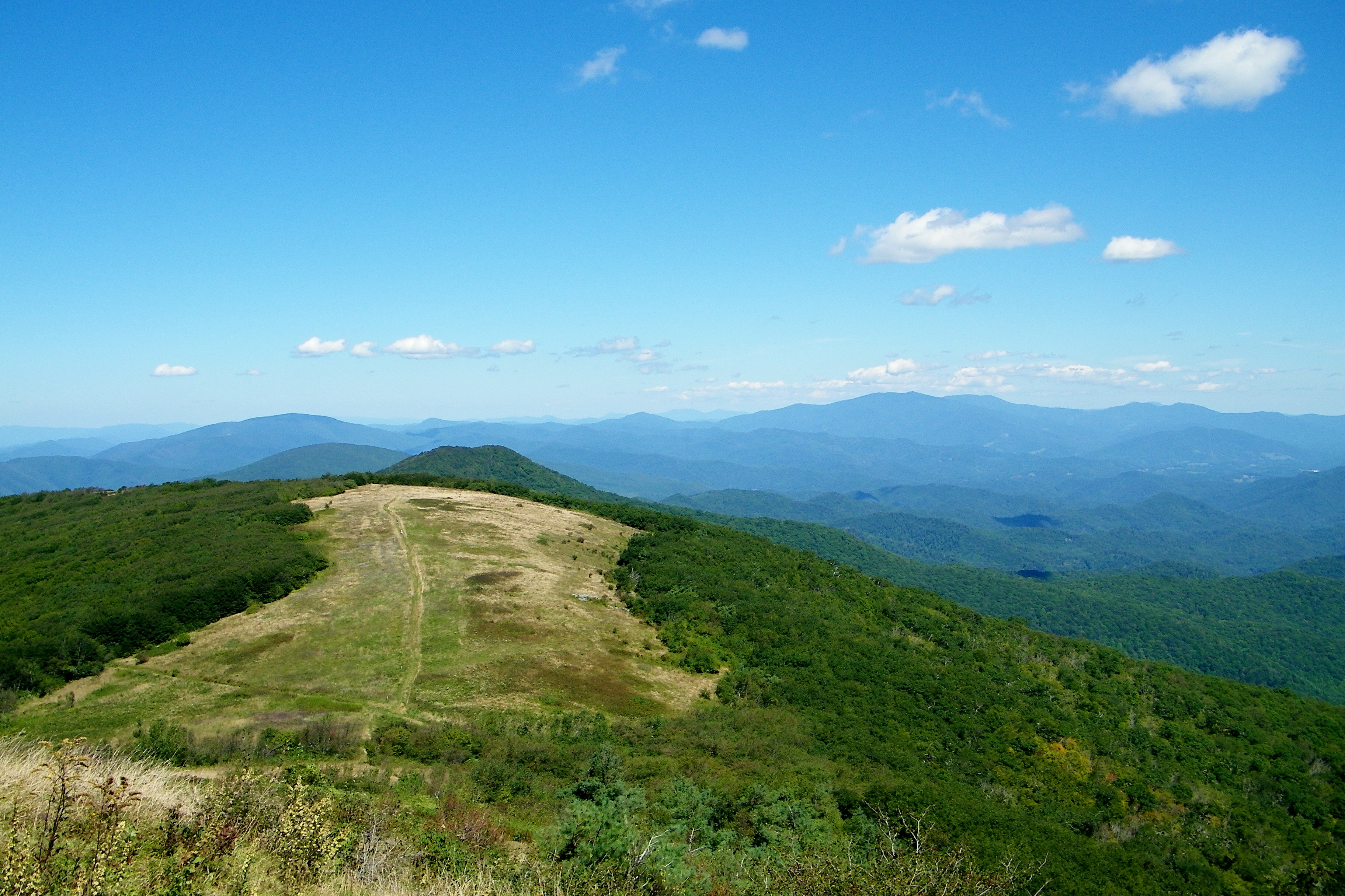
Bald Mountain
Bald Mountain
Appalachian Trail

Wolf Laurel Ski Resort
20100424-131516

20100424-131822
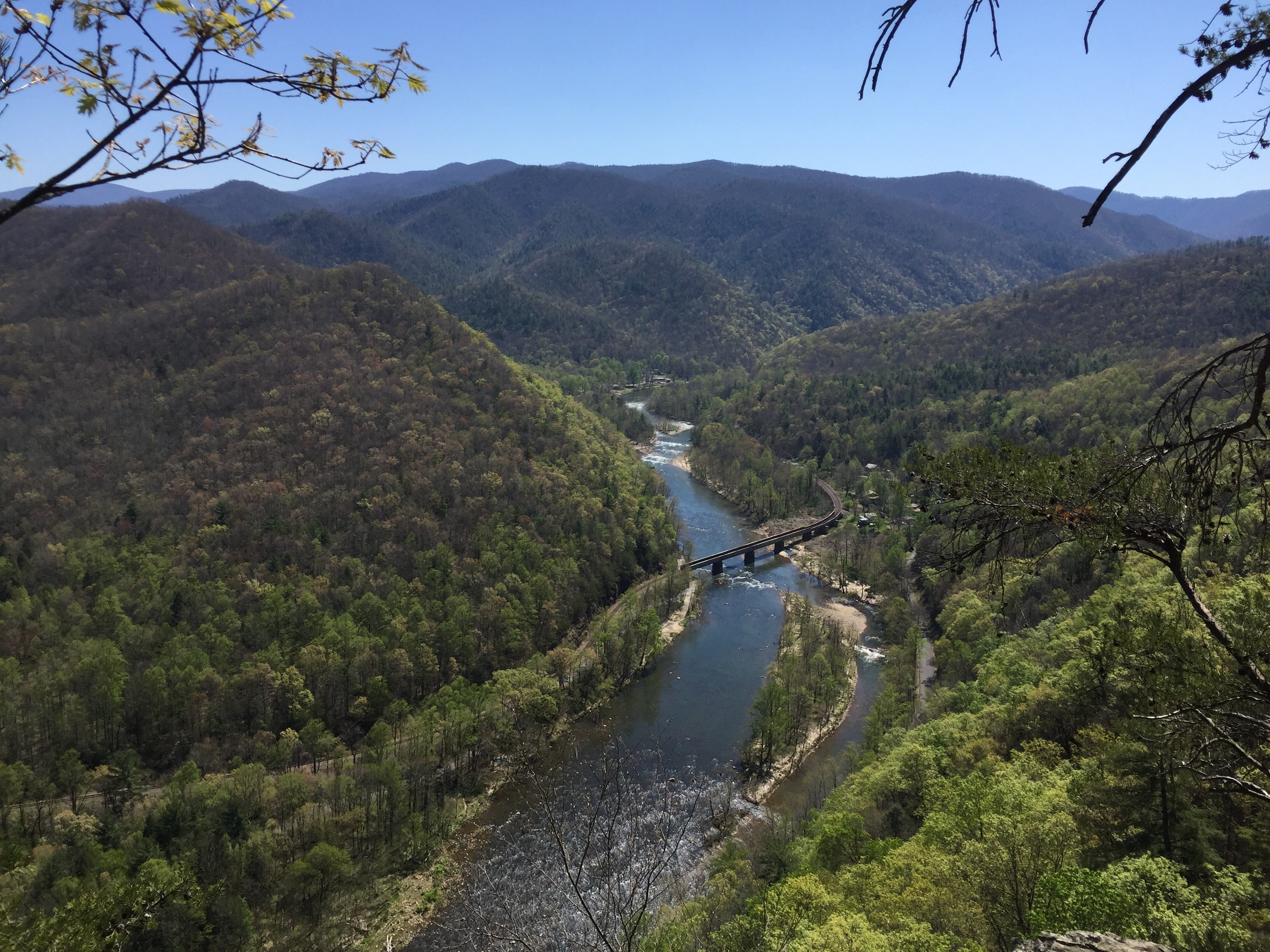
A view of the river from way up.

20100424-132230
Appalachian Trail
Toby's, Limestone Cove

Unicoi County, TN Courthouse - Erwin, TN
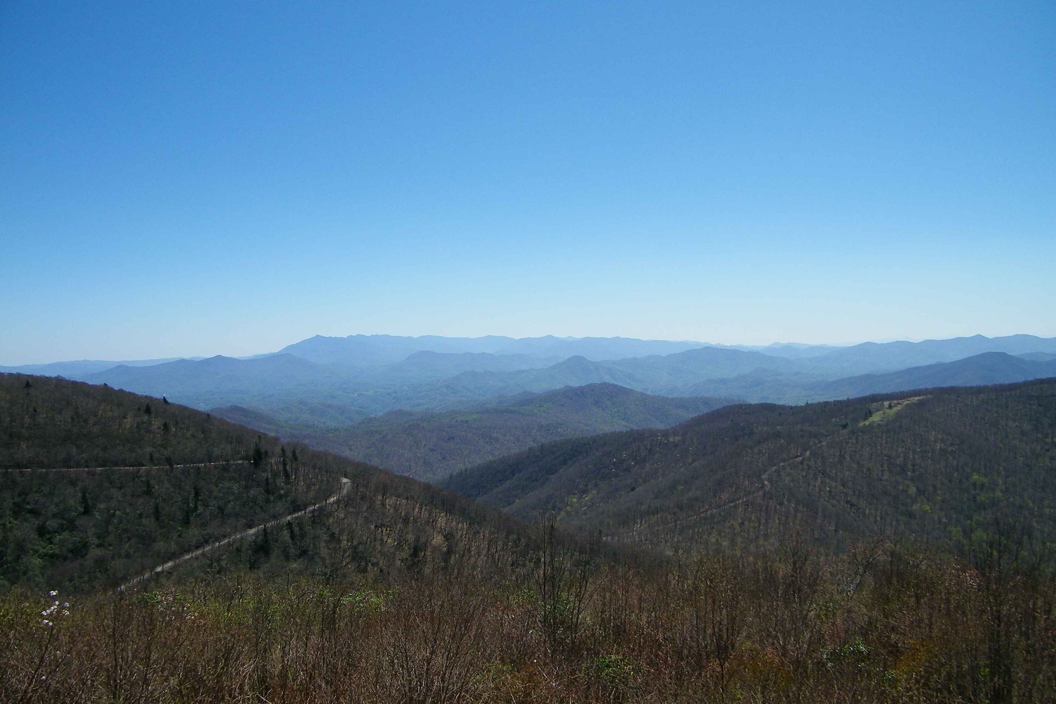
Unaka Mountain Overlook
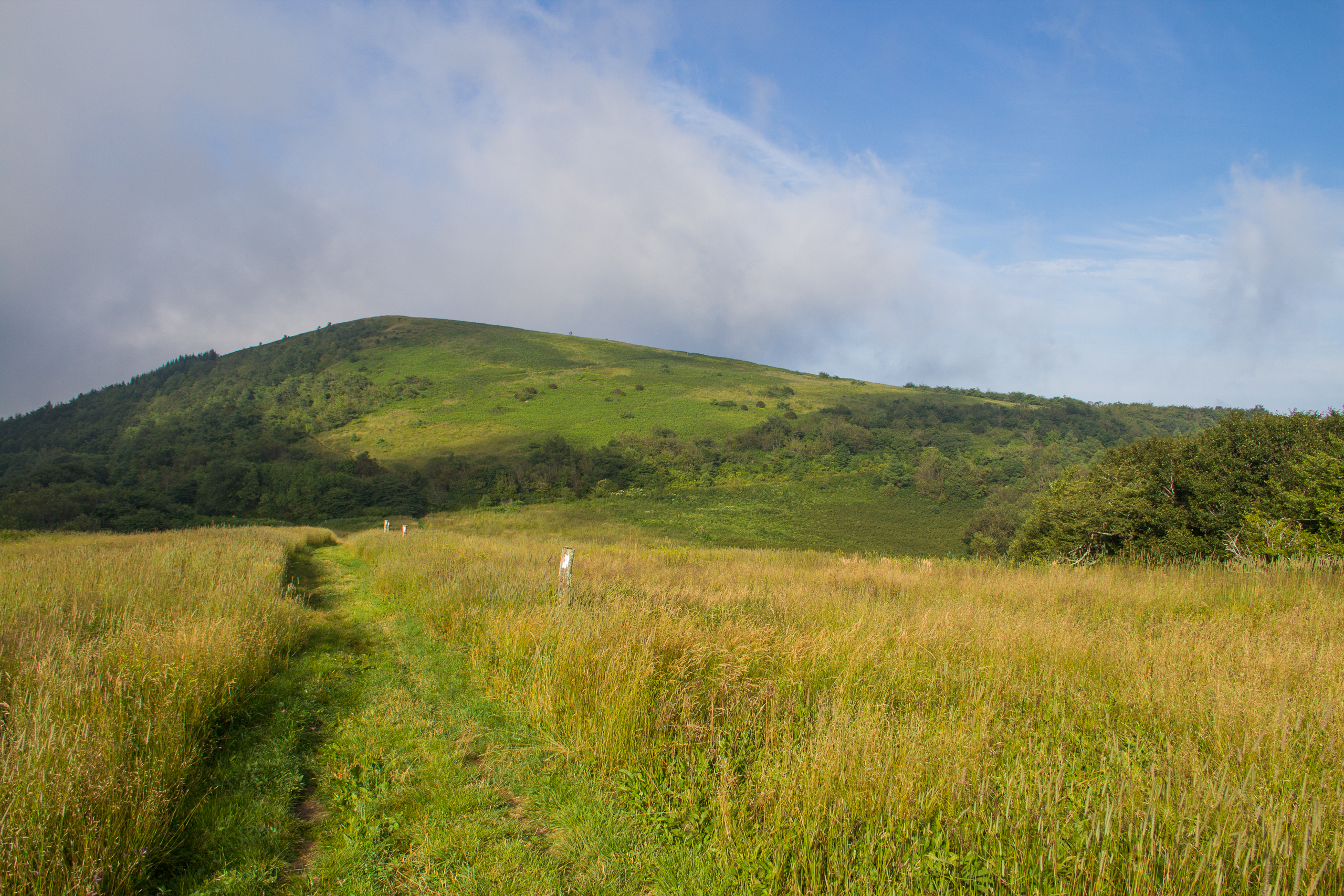
Beauty Spot

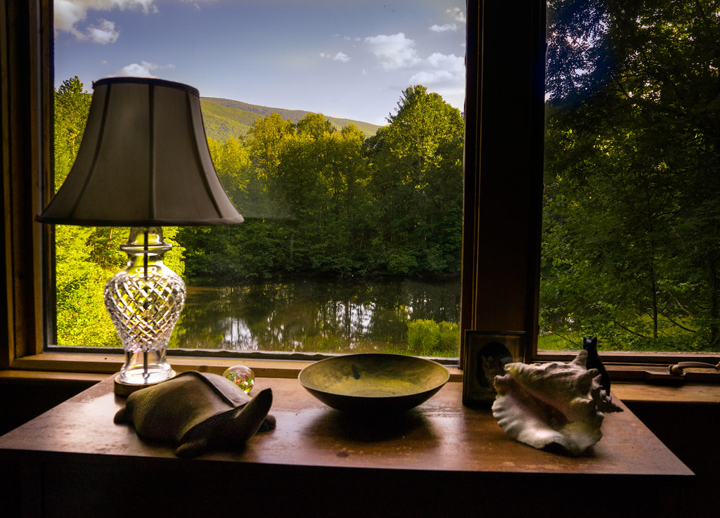
The view from my office window... Working late. :)
Big Bald Mountain, Cherokee National Forest, Tennessee
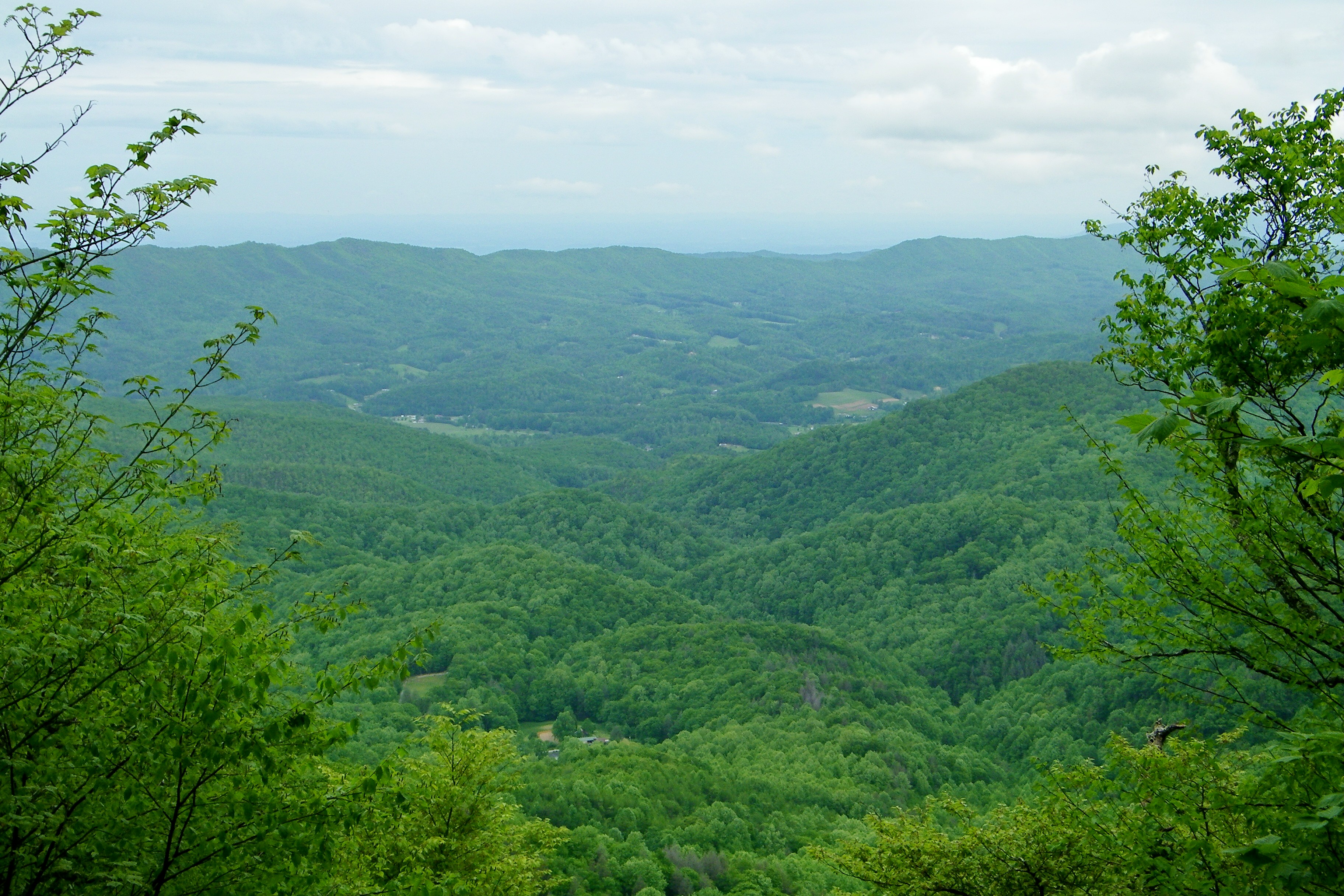
Big Stamp, Pisgah National Forest, North Carolina
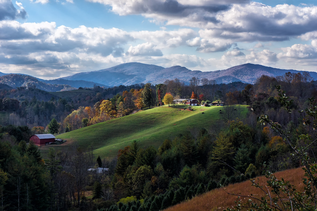
Light On The Hill: WNC

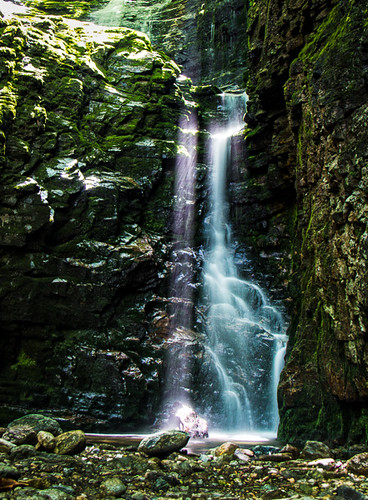
Red Fork Falls
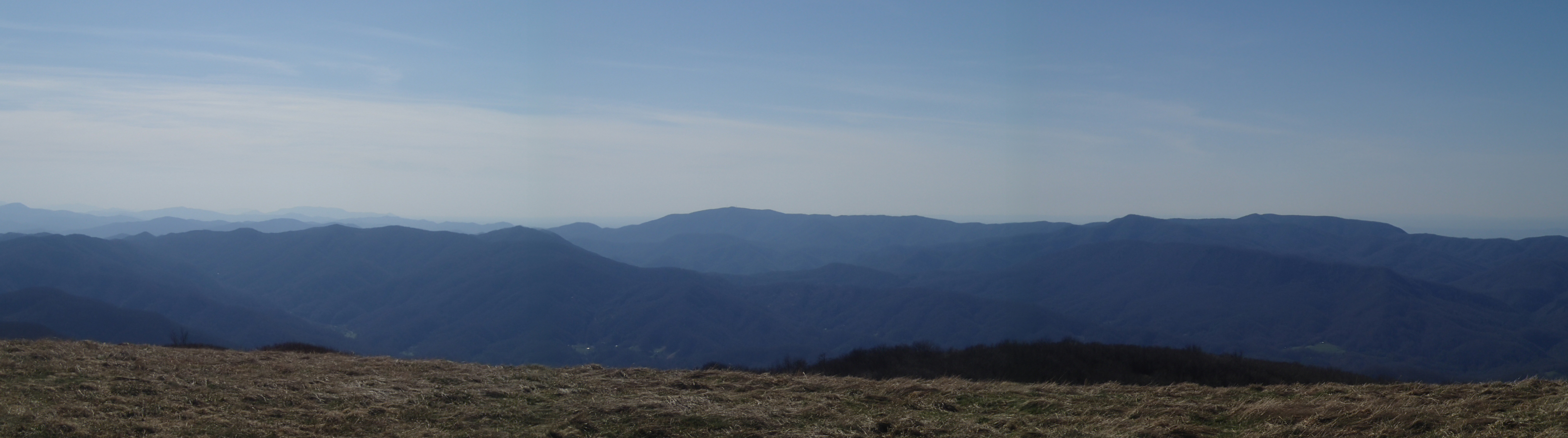
Big Bald

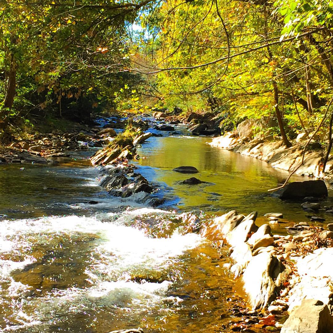
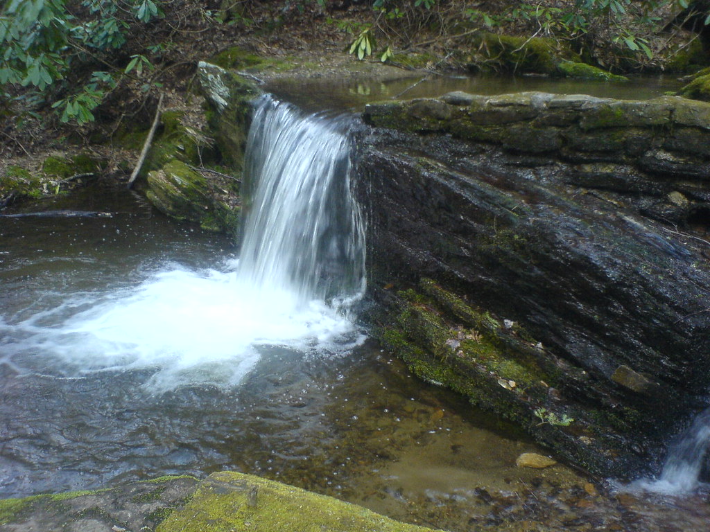
Racing Water
London would be proud
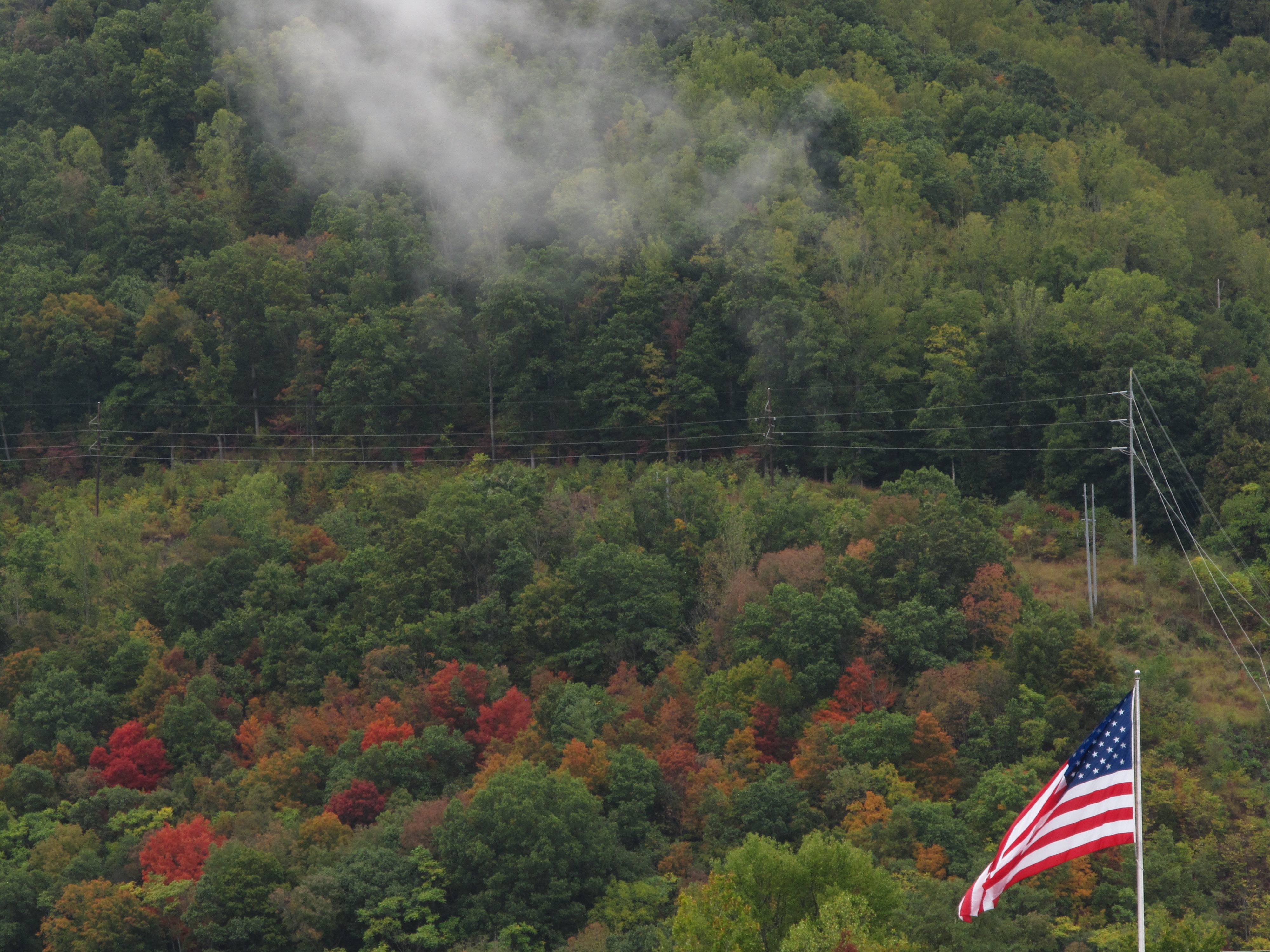
Hints of Fall3

IMG_9063.JPG

#firetower #pinnacle #Unicoi #forecast #weatherforecast
#Nolichucky #Unicoi #erwin #unicoicounty
Rock Creek Hike

#park #erwinlineartrail #fall #leaves #erwin

Rock Creek Hike
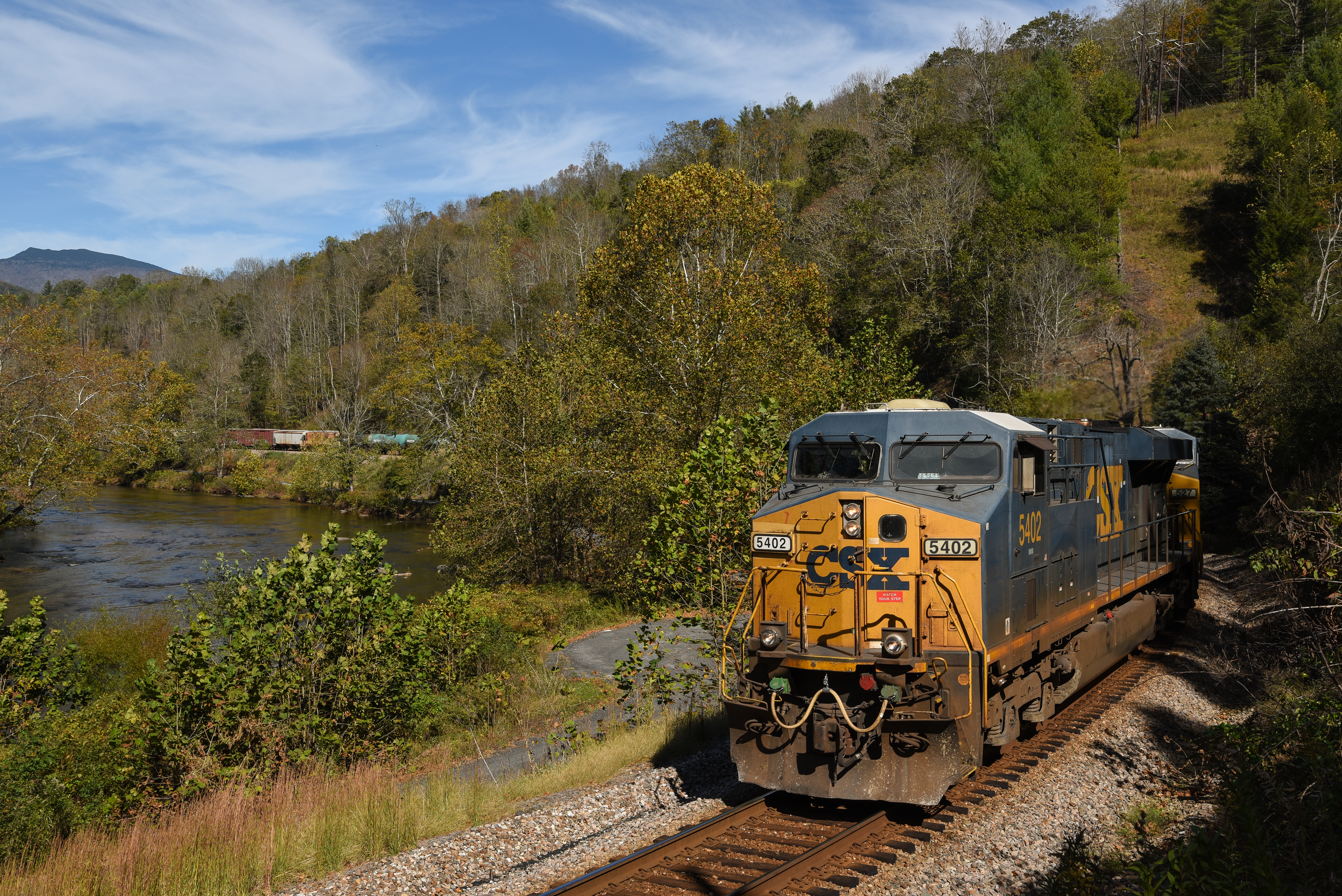
CSX @ Toecane, NC.
P4179000.JPG
Rock Creek Hike
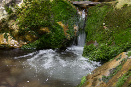
Clear Fork Creek
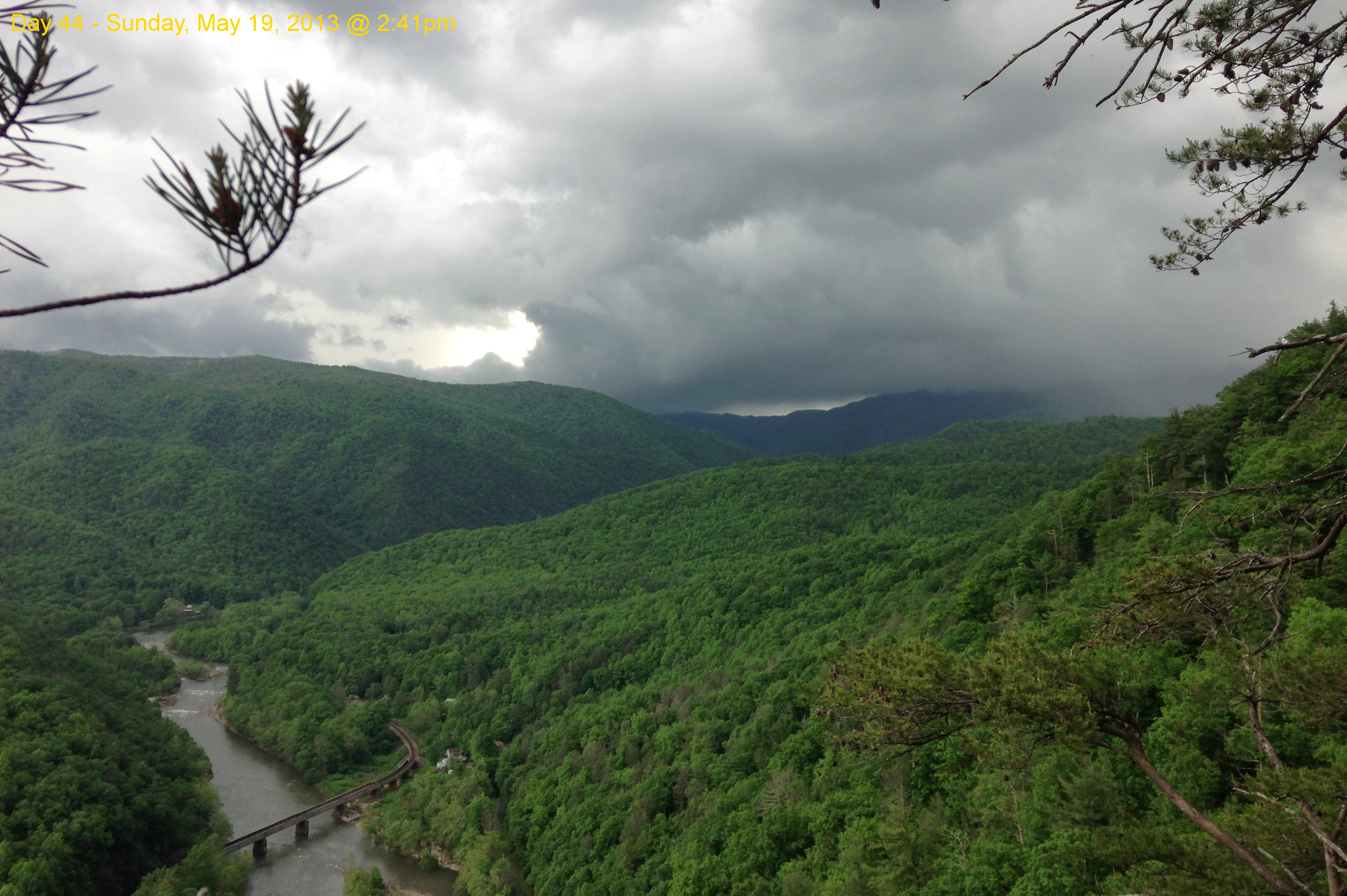
Garry AT Hike 2013-05-19 @ 14-41-54
P4179003.JPG
Topographic Map of NC-, Green Mountain, NC, USA
Find elevation by address:

Places near NC-, Green Mountain, NC, USA:
9727 Nc-197
Pound Mill Bridge Road
305 Pound Mill Br Rd
Sams Branch
Sams Bridge Road
786 Sams Br Rd
288 Flat Br Rd
288 Flat Br Rd
288 Flat Br Rd
Poplar
1889 Murphytown Rd
Honeycutt Lane
1889 Murphytown Rd
11964 Nc-197
Howell Branch Road
97 Lydon Hill Rd
10936 Nc-197
10936 Nc-197
10936 Nc-197
12000 Nc-197
Recent Searches:
- Elevation of Corso Fratelli Cairoli, 35, Macerata MC, Italy
- Elevation of Tallevast Rd, Sarasota, FL, USA
- Elevation of 4th St E, Sonoma, CA, USA
- Elevation of Black Hollow Rd, Pennsdale, PA, USA
- Elevation of Oakland Ave, Williamsport, PA, USA
- Elevation of Pedrógão Grande, Portugal
- Elevation of Klee Dr, Martinsburg, WV, USA
- Elevation of Via Roma, Pieranica CR, Italy
- Elevation of Tavkvetili Mountain, Georgia
- Elevation of Hartfords Bluff Cir, Mt Pleasant, SC, USA