Elevation map of Nawada, Bihar, India
Location: India > Bihar >
Longitude: 85.520024
Latitude: 24.7425589
Elevation: 119m / 390feet
Barometric Pressure: 100KPa
Elevation Map:
Satellite Map:
Related Photos:

Feeling Happy..! #me #meh #fresh #selfie #happyme #cool #blue #mood #iger #f4f #followforfollow #followme #sweet #photographer #selfieday

20130208-Portrait-005

20130208-Portrait-006
20130208-Portrait-007
20130208-Portrait-008

20130208-WX1-070

20130208-WX1-071

20130208-WX1-072

20130208-WX1-073

20130208-WX1-074

20130208-WX1-075

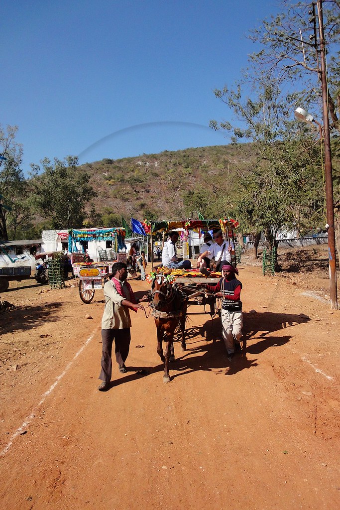
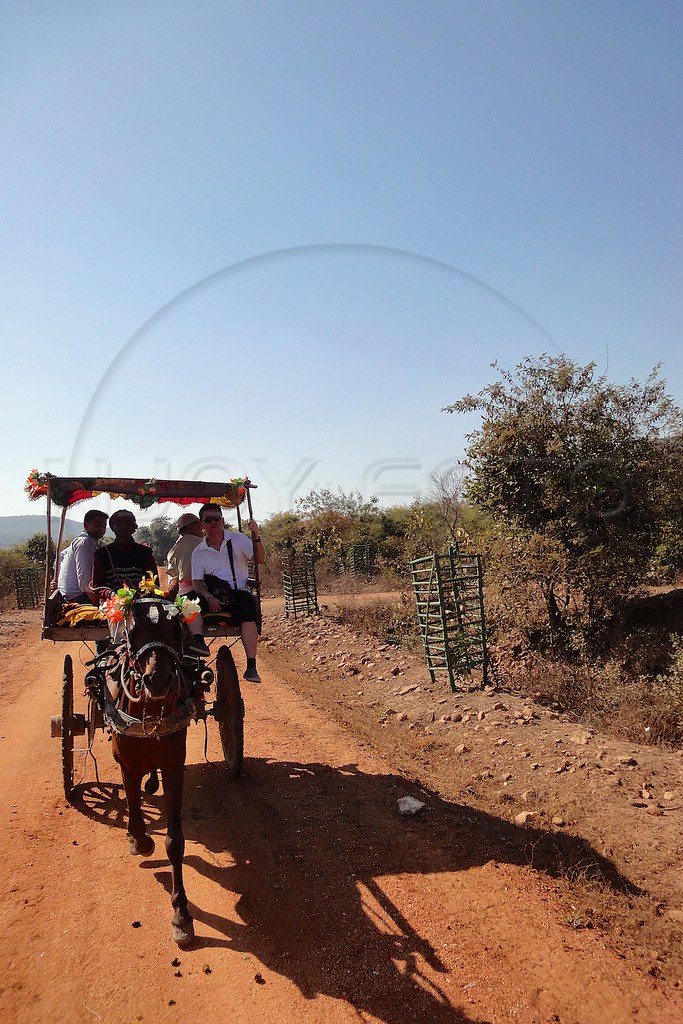
ספטמבר 11 - 12·33 - Rickshawrun5 109
Topographic Map of Nawada, Bihar, India
Find elevation by address:

Places in Nawada, Bihar, India:
Places near Nawada, Bihar, India:
Nawada
Kunj Niketan
Gujhandi
Koderma
Rajgir Kund
Rajgir
Bihar
Barhi
Bihar Sharif
Kaghzi Mohalla
Dungeshwari
Nalanda
Barbigha
Gaya
Itkori
Itkhori Chatti
Barakatha
Gaya
Jehanabad
Tekari
Recent Searches:
- Elevation of Corso Fratelli Cairoli, 35, Macerata MC, Italy
- Elevation of Tallevast Rd, Sarasota, FL, USA
- Elevation of 4th St E, Sonoma, CA, USA
- Elevation of Black Hollow Rd, Pennsdale, PA, USA
- Elevation of Oakland Ave, Williamsport, PA, USA
- Elevation of Pedrógão Grande, Portugal
- Elevation of Klee Dr, Martinsburg, WV, USA
- Elevation of Via Roma, Pieranica CR, Italy
- Elevation of Tavkvetili Mountain, Georgia
- Elevation of Hartfords Bluff Cir, Mt Pleasant, SC, USA